• Explore
    • Nature
    • Culture
    • Food
    • Family
    • Activity
    • Blog
    Smoke sauna
    Weather and seasons
  • Plan
    • Accommodation
    • How to get here
    • Weather and seasons
    • Sustainability
    • Tourist info
    Discover South Estonia’s Most Beautiful Manors and Castles
    Top 20 Sights in South Estonia
  • For professionals
    • For professionals
    • Collaboration
    • News
    • Projects
    • Training
    • Repository
    • Community (opens in new tab)
    • Contacts
ENG
  • EnglishENG
  • EestiEST
  • LatviešuLAT
  • РусскийRUS
  • SuomiFIN
ENG
  • EnglishENG
  • EestiEST
  • LatviešuLAT
  • РусскийRUS
  • SuomiFIN
Popular searches:
Show all
  • Nature and Activities
  • Nature
  • Hiking Trails

The Baltic Forest Trail

Rõuge vald, Võru maakond, 66115

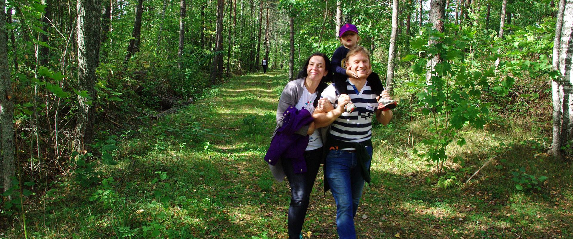
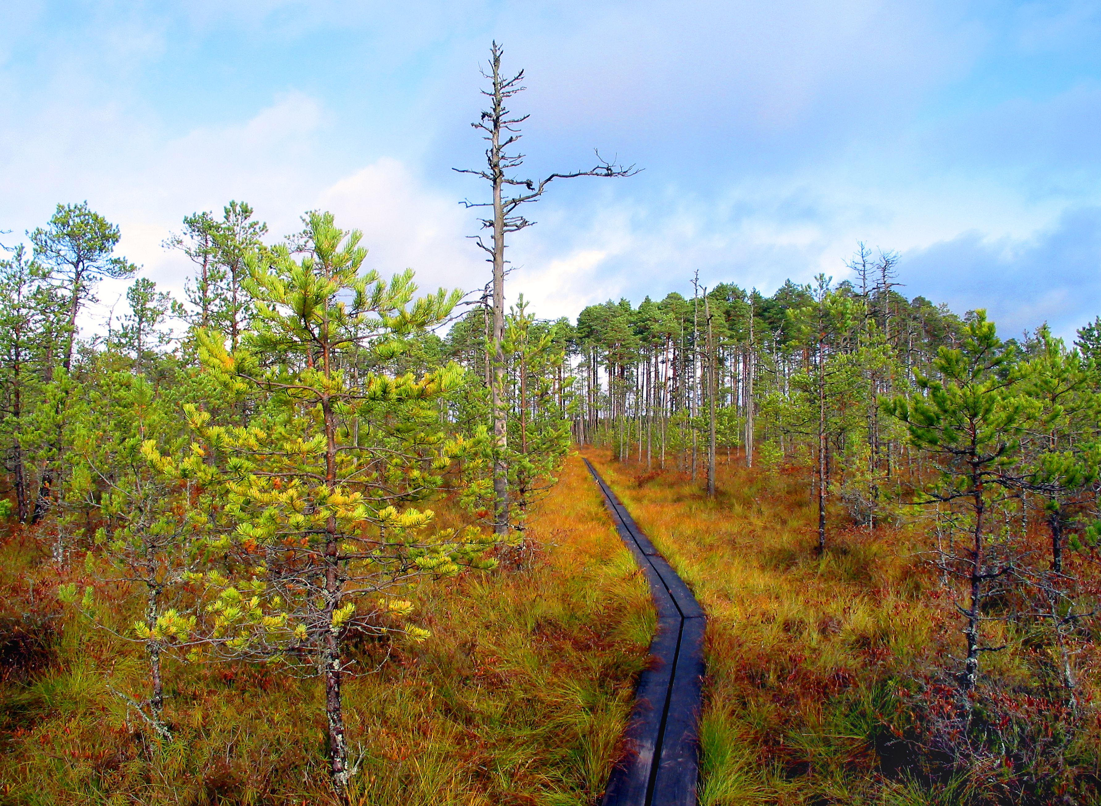
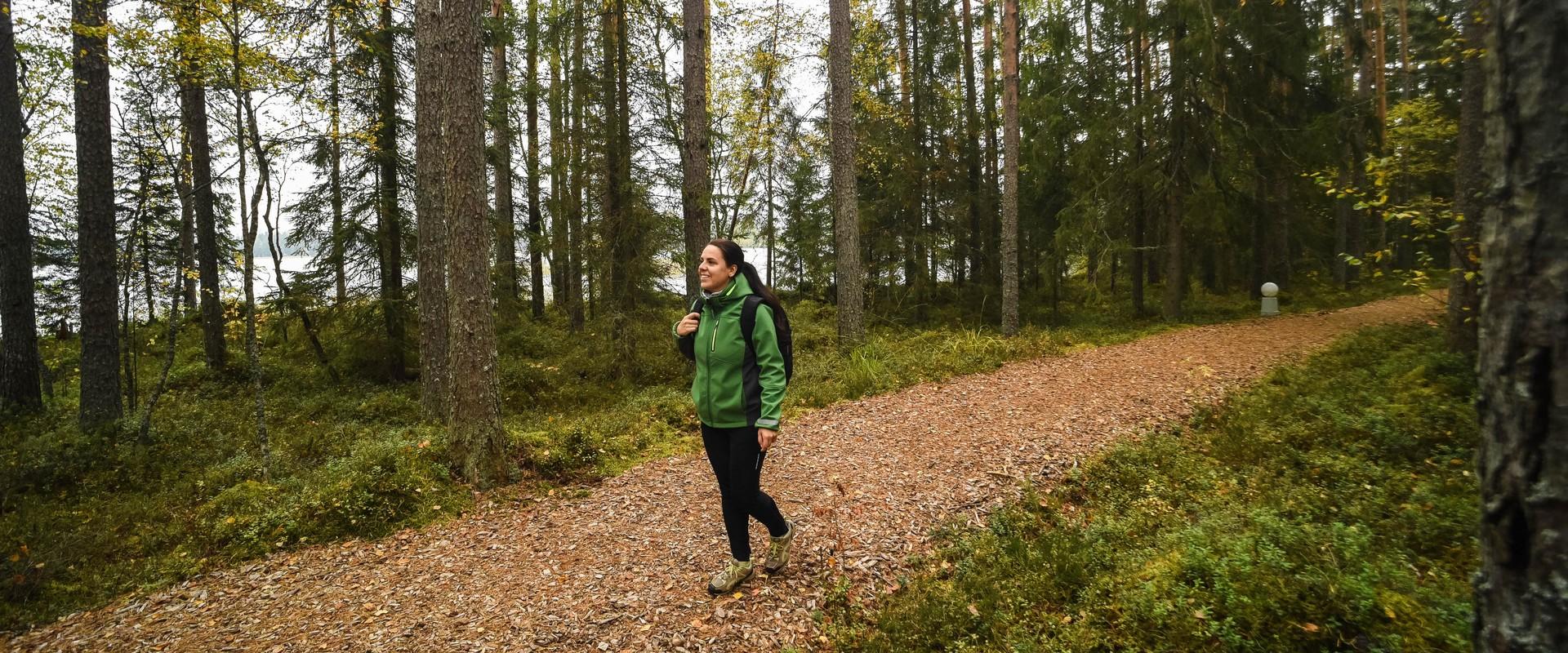
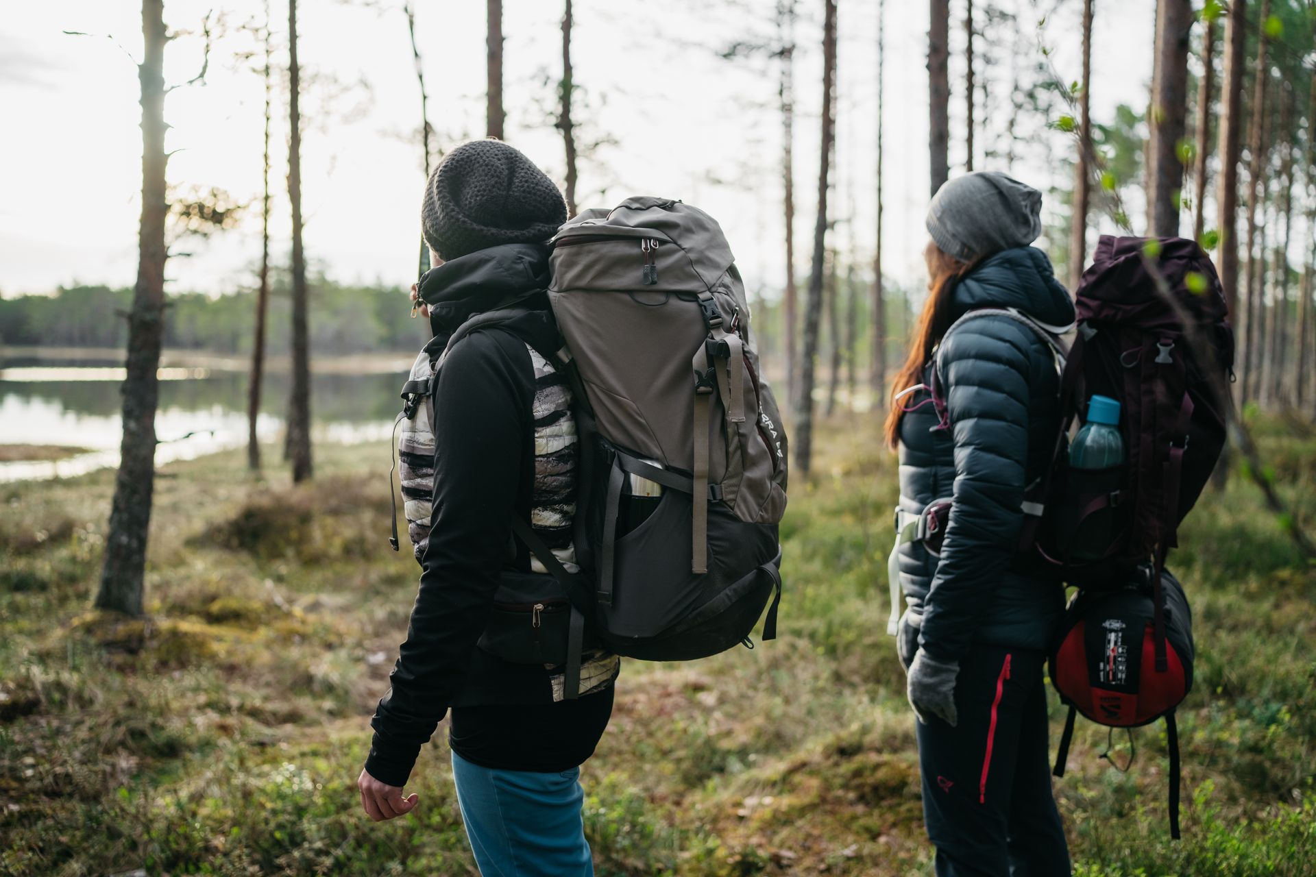
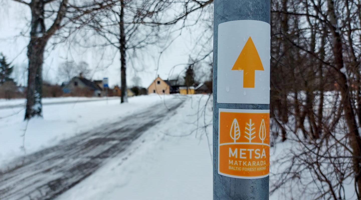
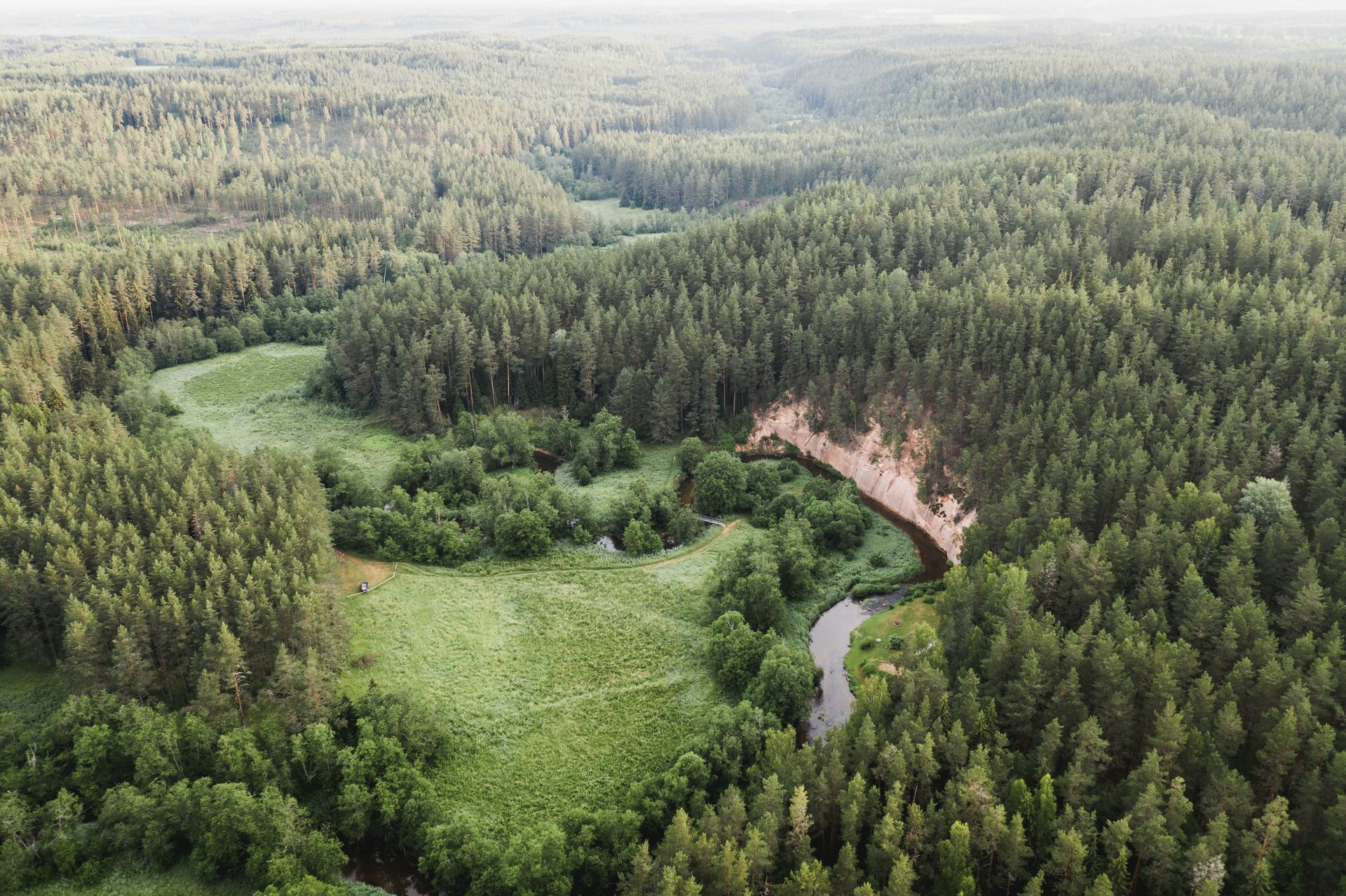
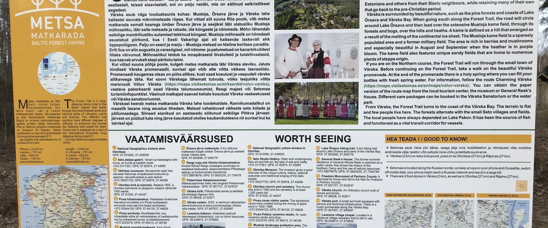
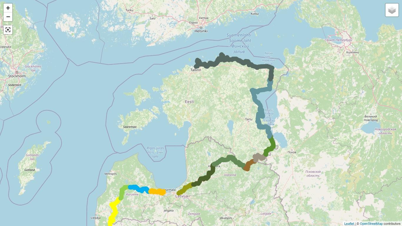
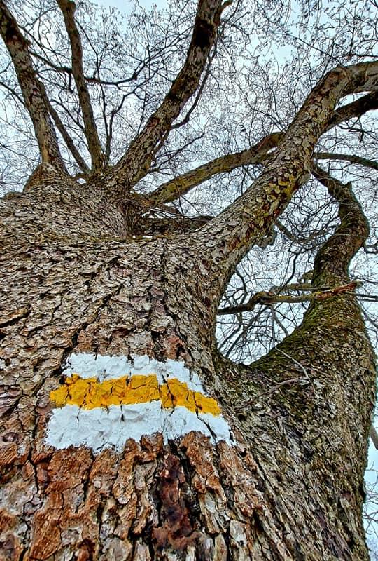
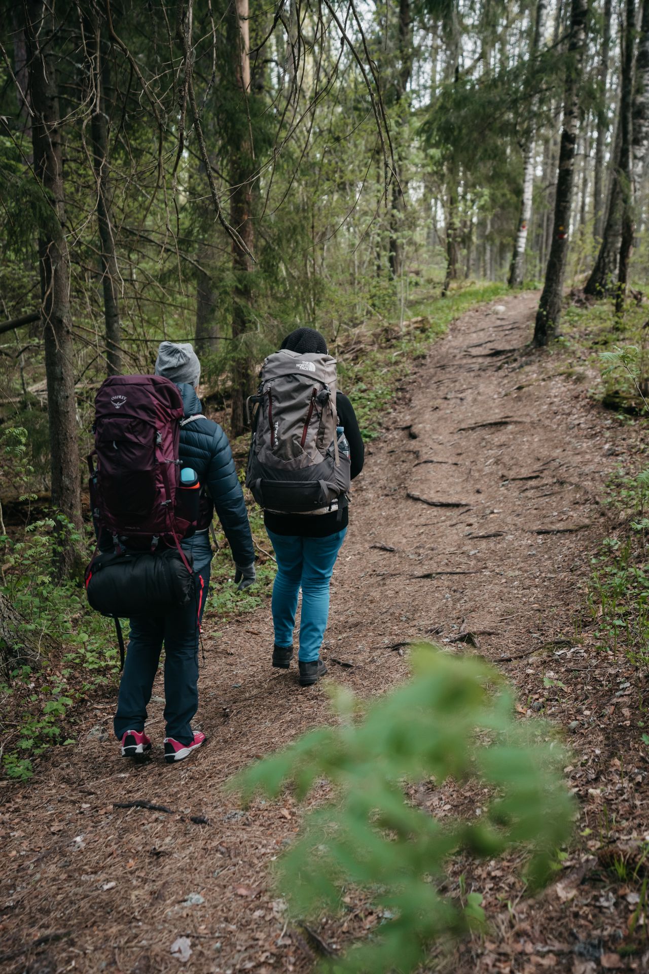
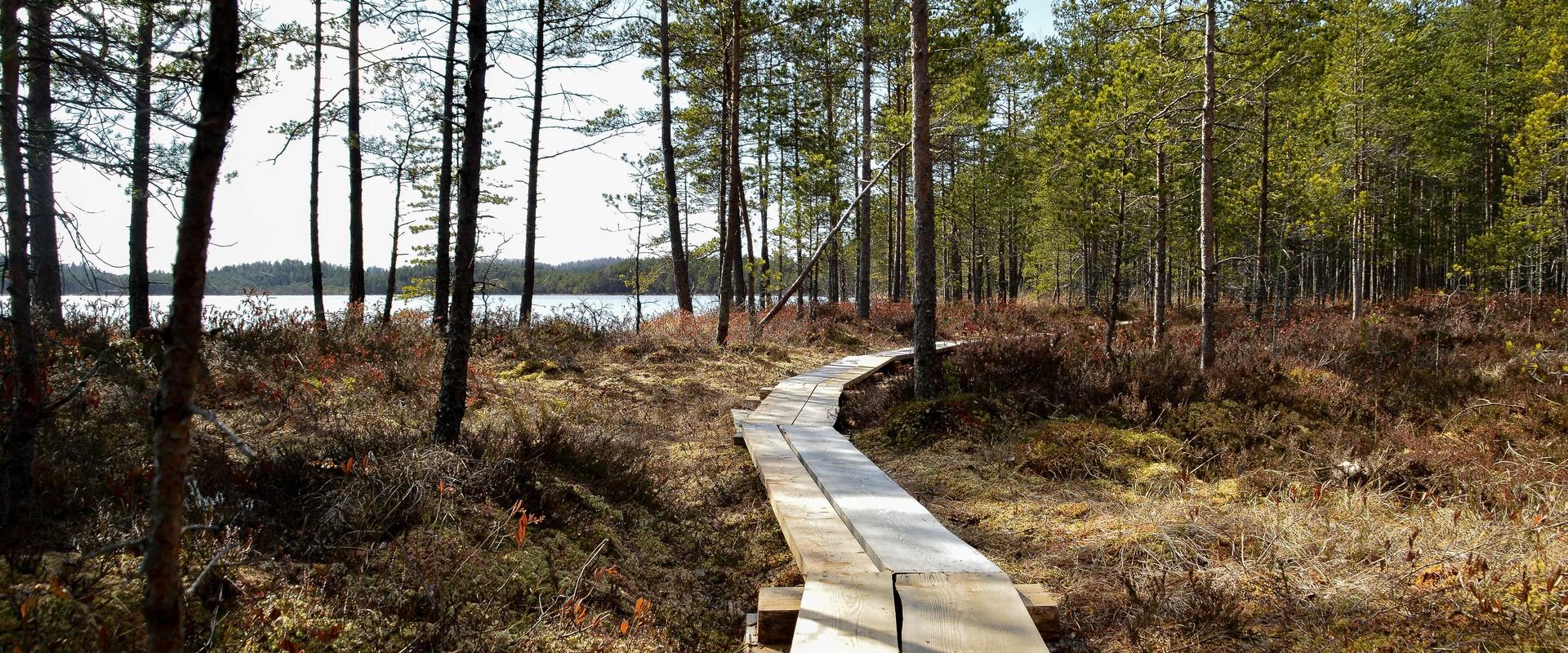
The Baltic Forest Trail is a hiking trail over 2,000 km long running through the Baltic States, of which 720 km are available for hiking in Estonia. The trail is divided into 50 one-day sections, each approximately 20 km long and marked with signposts. The trail sections have different difficulty levels so everyone can choose the most suitable one for themselves!
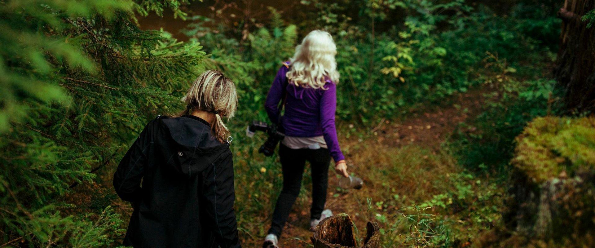
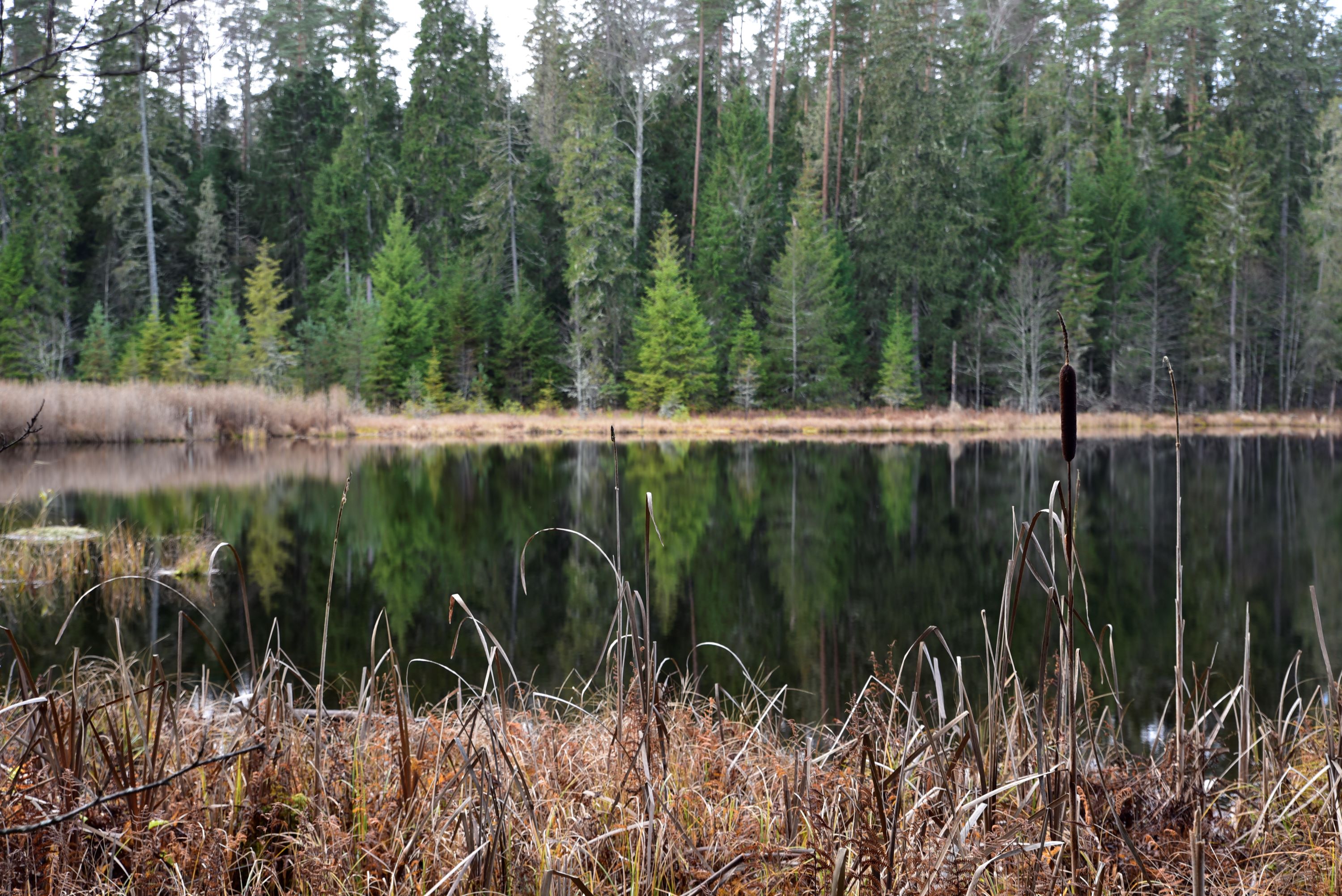
The hiking trail passes through forested areas and two national parks, Lahemaa and Alustaguse National Parks. Along the way, you can observe trees of different species and places connected to historical events or legends. The trail is well-suited for bird and animal watching.
The Baltic Forest Trail is part of the international European long-distance trail E11.
Amenities

  • Information boards

Open times

Throughout the Year

Around the Clock

Contact

  • +372 5682 1268
  • turism@setomaa.ee

Links

baltictrails.eu

See more

  • Hiking Trails

Vällamäe hiking trail

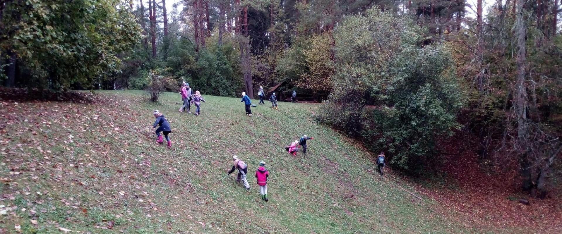
Vällamäe 3,3 km long hiking trail offers a unique elevation change in Estonia. Vällamägi is Estonia's second highest hill, covered with ancient forest and steep slopes, with an elevation of 303.9 m above sea level. However, considering the 84 meters measured from the base to the peak, Vällamägi is the highest in relative height in Estonia. The slopes of the hill are very steep in places (incline of 35-40 degrees). Since 1992, Vällamäe forests have been designated as a spruce gene pool reserve. As you move along the trail, steep ascents and descents alternate, offering both a physical challenge and breathtaking views of the ancient forest shelters. The climb to the peak may momentarily make you feel like you've arrived in the mountains, not Haanja. The charm of Vällamäe lies in its primordial silence and touch of nature – you won't find crowded hiking trails here. Each season adds its own character to the trail: in spring, the air is filled with birdsong, in summer you may find berries in the forest, in autumn colorful leaves and an abundance of mushrooms delight the eyes, and in winter the slopes are covered with a dense layer of snow in silence.

  • Hiking Trails

Pikalombi nature trails

The trails have two possible starting points: in the parking lot of the Värska Sanatoorium or in the point on the side of Värska Sanatoorium across Värska Bay. The Pikalombi nature trails are 3.8 and 9.1 km long. The nature trails can be passed in autumn, spring and winter and on foot as well as by bicycle. On the boarded trail through the Velna bog the bicycle shall be pushed by hand. Good to know: There are 11 trail points along the trail. Point no. 6 lies by beautiful Lake Saarepää, offering an opportunity to make a fire and to have a longer break.

  • Lookout towers
  • Hiking Trails
  • Birdwatching

Valgesoo watchtower

The Valgesoo watchtower is located in the Valgesoo bog, which represents one of the 21 places worth discovering in South Estonia and is recommended for all nature enthusiasts.With its eye-catching design, the watchtower overlooks the Valgesoo bog, the pristine-looking primeval forest, and the Baron's pine forest (Parunimännik) and the study trail that runs through it. The 29.7 m high metal watchtower has three intermediate platforms, the last of which is 23.8 m high, with a wind screen and seat benches in the centre. The State Forest Management Centre's campfire site and camping area for up to five tents are nearby.

  • Hiking Trails

Lake Verijärv nature studies trail

Lake Verijärv nature studies trail is around 1 km long and has 9 information boards showcasing plants, trees, bushes, birds and animals. The trail runs through the Lake Verijärv ancient valley and wood. There are signs along the trail as well as three barbecue areas with benches.There are various legends about Lake Verijärv. It is said that the lake got its name centuries ago when slaves were punished in the old cellar that stood on the shore and their blood turned the water red. Another legend speaks of the nasty lord of Kasaritsa Manor, who was drowned by his coachman with his carriage and horses while driving home one night.

  • Hiking Trails

Peräjärve forest trail

Peräjärve forest trail guides the hiker through different forest types - fresh boreal forest, dry boreal forest, boreal heath forest, carr, and swamp forest. You will get an overview of the different uses of the forests throughout history, a living example of this are the trees near the trail, which are used to extract resin from.The study trail can be visited all year round: in spring there're a lot of bird sounds and the daphne mezereum blooms, in summer and autumn the forest is full of berries and mushrooms, and in winter you can see interesting animal tracks in snow.

  • Camping sites
  • Lookout towers
  • Hiking Trails

Meenikunno hiking trail

Cabins for hikers, an observation tower and a boardwalk attract many nature lovers to the Meenikunno bog. It is a beautiful recreation area. While walking down the boardwalk, you can see the most common bog plants: leather leaf, bog rosemary, crowberry, Marsh Labrador tea, and tussock cottongrass; at the edge of the bog, dwarf birches can also be found. There are also a number of different species of peat moss of various colours. The bravest hikers can try drinking bog water (it has an interesting taste!) from the overgrown ditch near the edge of the bog.Good to know: The boardwalk is pram and wheelchair accessible.

  • Camping sites
  • Hiking Trails
  • Beaches

Pikksaare hiking trail and Pangodi campfire site

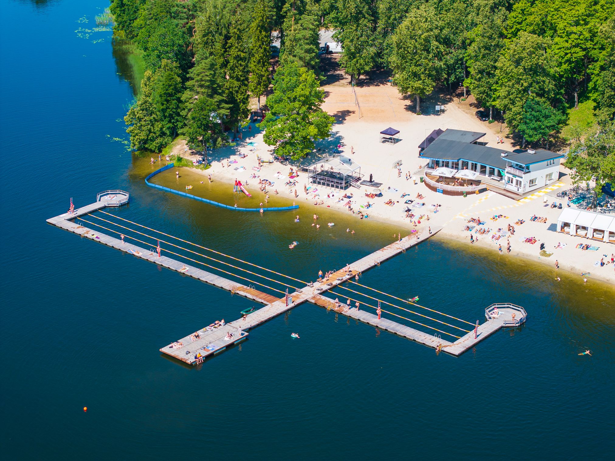
The Pikksaare hiking trail begins at the swimming and camping area by Lake Pangodi. While walking along the hiking trail, you can enjoy peace and idyllic views of the lake and the surrounding nature and make a short detour to the War of Independence Memorial. The directional signs placed along the trail will help make the hike smoother. The hiking trail passes the Pangodi campfire site, where you can take a short break, as there is a shelter, a barbecue area, a nice swimming spot, and opportunities for camping. Come and spend a nice day in nature with your family or friends!

  • Hiking Trails

Hiking trails at Lake Kirikumäe

Kirikumäe's 3.2-km-long hiking trail winds around the lake of the same name, which is known as the best swimming area in the region. There is a bog on the southern shore of the lake and the hiking trail also runs across the bog. For this purpose, a boardwalk has been built there. In any case, however, you must be prepared to get your feet wet here and there. There are information boards, campfires, and forest trails on the track.

  • Collaboration
  • News
  • Contacts
  • Privacy Policy
Join our mailing list!

"*" indicates required fields

This field is for validation purposes and should be left unchanged.
I authorise marketing

South Estonia Tourism Cluster

info@visitsouthestonia.com