• Explore
    • Nature
    • Culture
    • Food
    • Family
    • Activity
    • Blog
    Smoke sauna
    Weather and seasons
  • Plan
    • Accommodation
    • How to get here
    • Weather and seasons
    • Sustainability
    • Tourist info
    Discover South Estonia’s Most Beautiful Manors and Castles
    Top 20 Sights in South Estonia
  • For professionals
    • For professionals
    • Collaboration
    • News
    • Projects
    • Training
    • Repository
    • Community (opens in new tab)
    • Contacts
ENG
  • EnglishENG
  • EestiEST
  • LatviešuLAT
  • РусскийRUS
  • SuomiFIN
ENG
  • EnglishENG
  • EestiEST
  • LatviešuLAT
  • РусскийRUS
  • SuomiFIN
Popular searches:
Show all
  • Nature and Activities
  • Nature
  • Hiking Trails

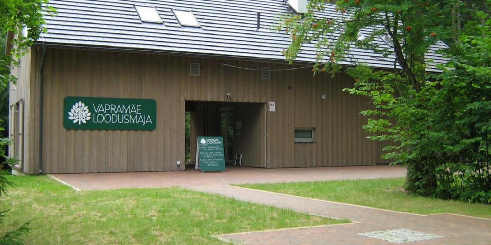
Vapramäe nature study and hiking trail

Elva-Vitipalu maastikukaitseala, Nõo vald, Tartu maakond, 61602

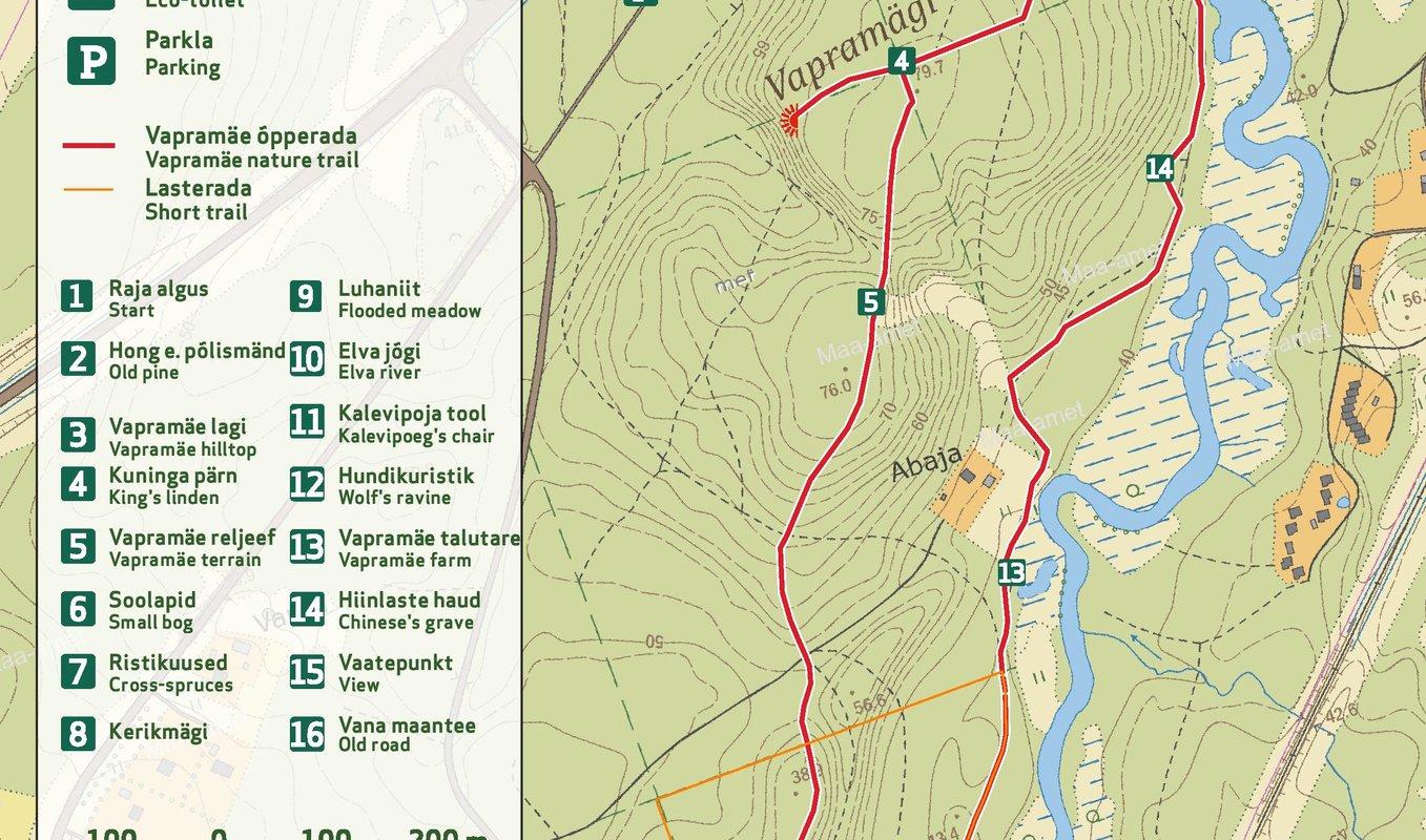
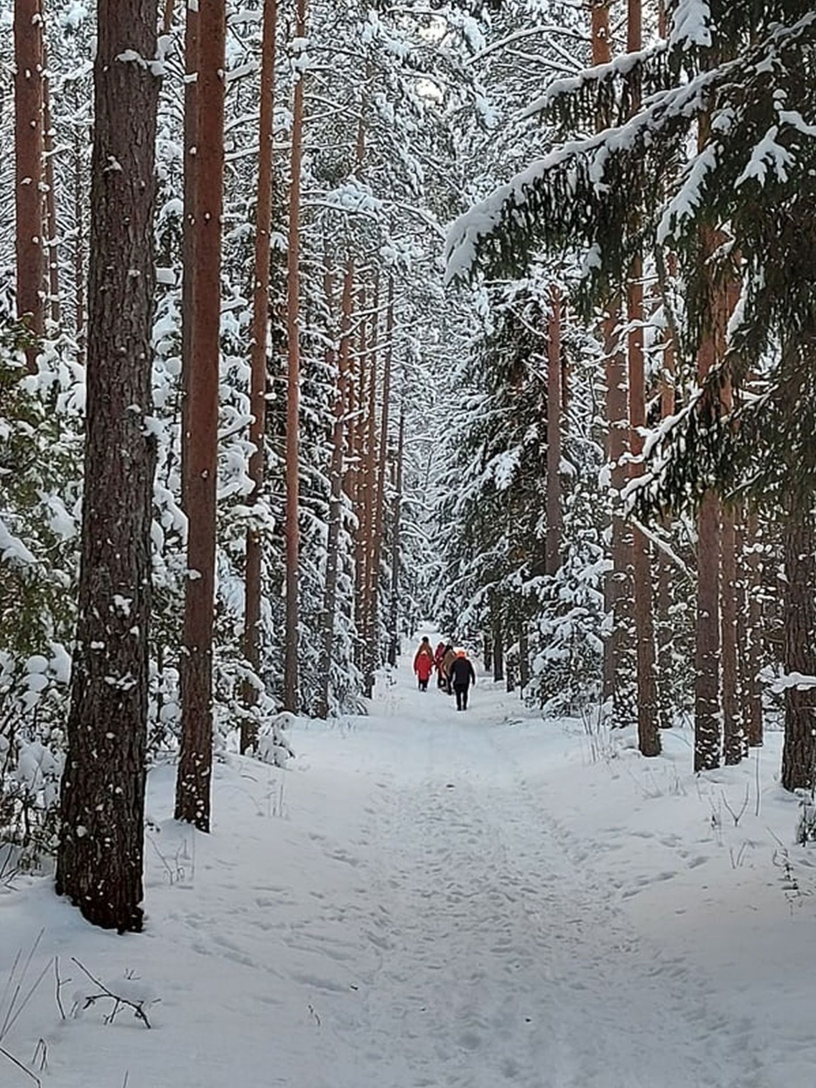
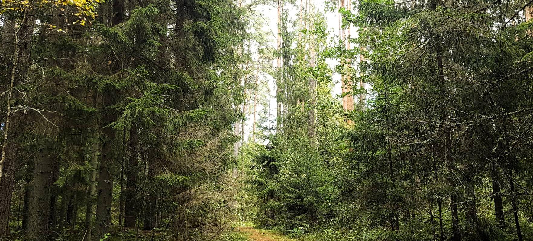
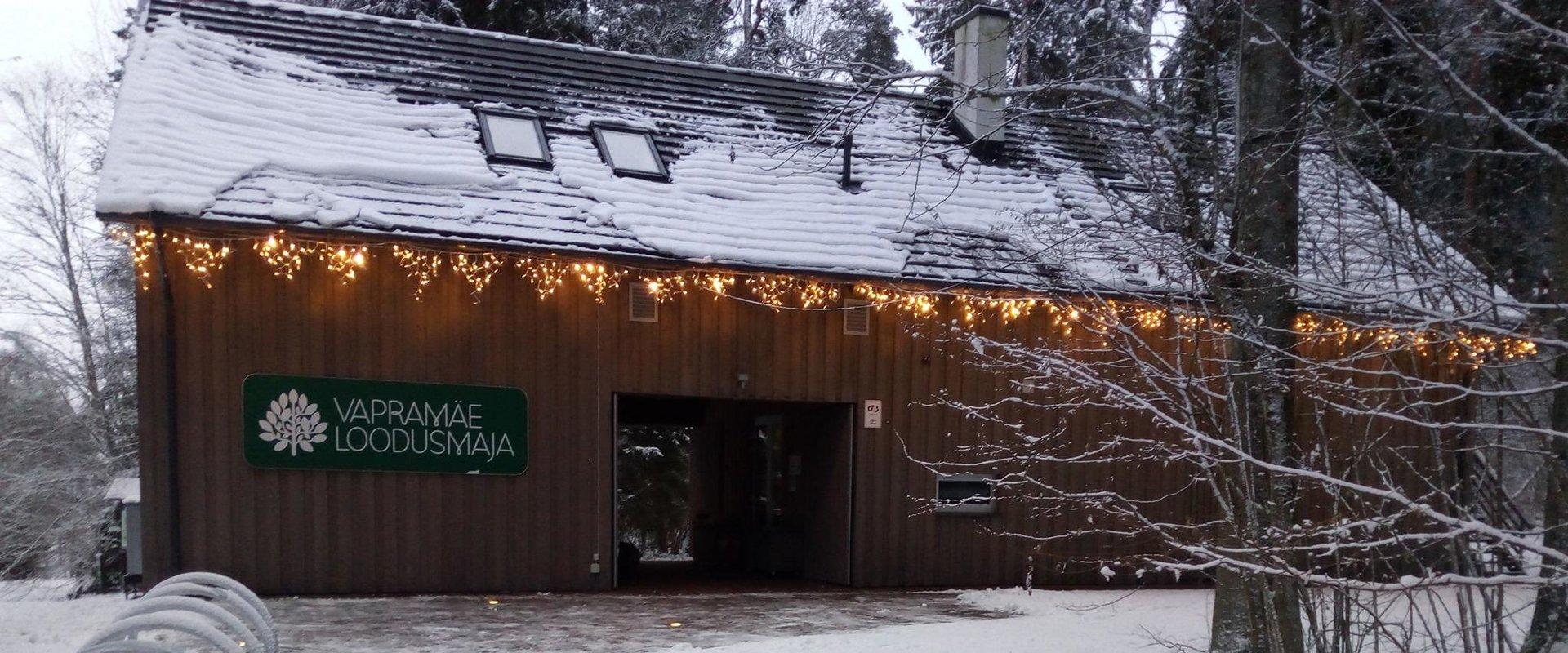
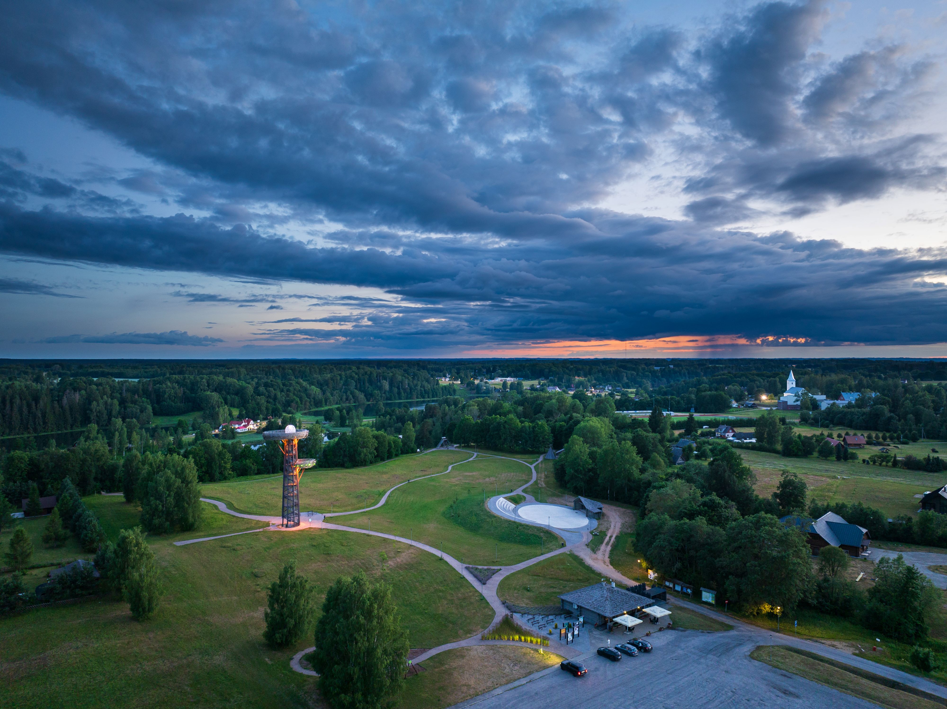
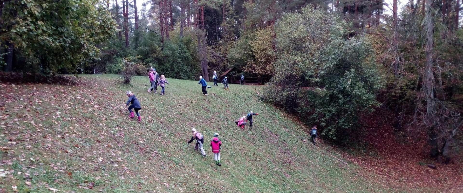
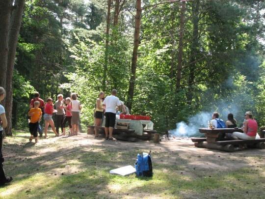
On the Vapramäe nature study trail (3.5 km), which is part of the Vapramäe–Vellavere–Vitipalu network, you can enjoy the eskers, read legends about Kalev’s Son, and explore Põlismänd pine, the King’s linden, Kerikmägi citadel, and much more.The nature study trail, marked with white-red-white, starts at the Vapramäe stop. There is also a picnic area with a campfire site on the hiking trail by the Elva River. You can go even further from the Vapramäe Nature House and visit the Tartu Observatory. It is easy to get there, because the domes of the observatory can be seen from afar.

Open times

Throughout the Year

Around the Clock

Contact

  • +372 525 4172
  • sihtasutus@vvvs.ee

Links

www.visitestonia.com

See more

  • Hiking Trails

Taevaskoja–Otteni–Taevaskoja hiking trail

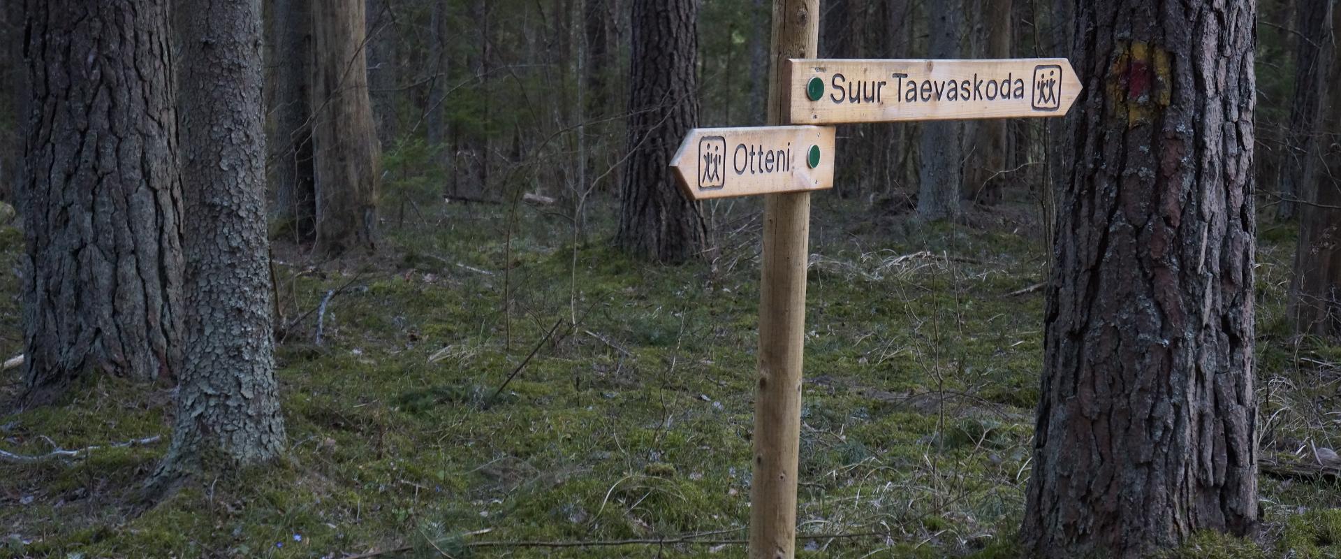
The hiking trail, which starts from Suur Taevaskoda, runs on the high banks of the Ahja River and on the tracks of the menu film The Last Relic. Suur Taevaskoda, the partially preserved Otten or Valgesoo watermill complex, the two-vaulted Otten mill bridge, and the miniature canyon, which became famous thanks to the film The Last Relic, picturesque views of the Ahja River, and a pit of a forest brothers' bunker can be seen on the hiking trail. The trail is marked with green colour on the trees and signs and there are several information boards on the trail. It is possible to camp and make a campfire at the Otten campfire site. When coming by car, the hike starts from Saesaare car park and therefore, the trail is about 2 km longer.

  • Hiking Trails

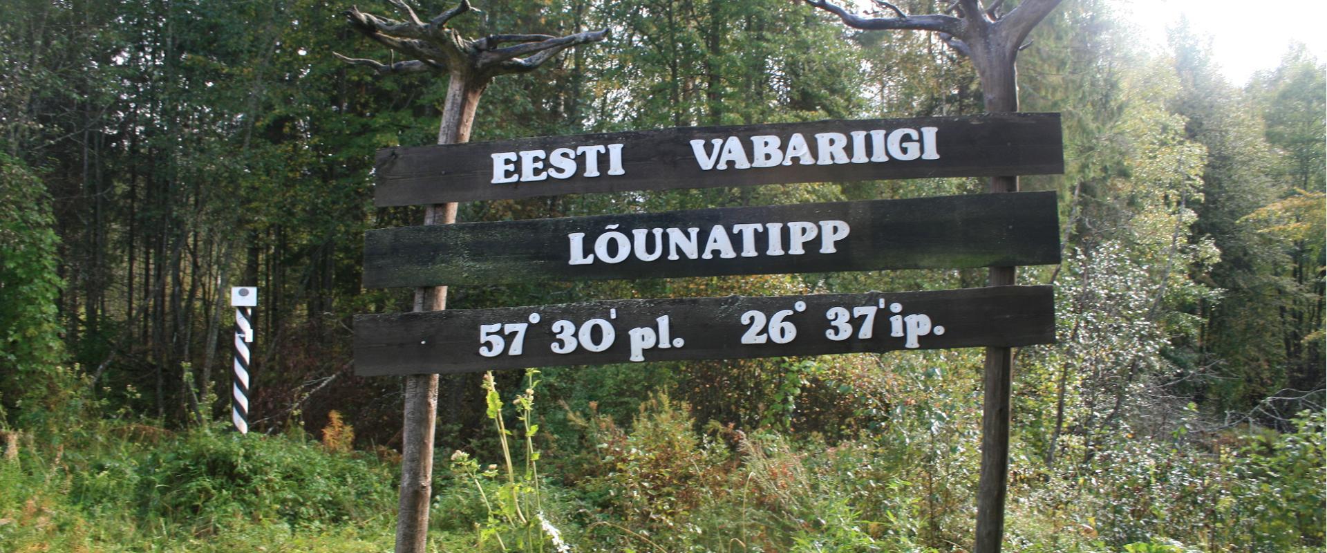
A nature study trail in the southernmost point of Estonia

Drive along the Võru-Valga highway from Saru to Kuutsi-Tiitsa-Karisöödi-Ura-Naha (about 14 km). The trail is about 4.8 km long and it takes a couple of hours to walk it through. The trail starts under the oak-tree with a perimeter of about 4 metres in Naha farm and runs very close to the state border, so make sure you take your ID with you. Interesting to know: you cannot put your foot down on the southernmost point, as the geographically correct southernmost point of Estonia is situated about 5 steps away from the marked spot, just in the middle of the Peetri River.

  • Hiking Trails

Hiking trail in the Rõuge Primeval Valley

The Rõuge Primeval Valley hiking trail is as straight as a line, 10 km long, it begins at Hinni Canyon or in the Ööbikuoru Centre parking lot. Beginning at the Ööbikuorg start point, the trail runs along the shores of seven lakes towards Hinni Canyon and offers hikers an opportunity to observe the workings of the area's water rams, see the deepest Estonian lake – Rõuge Suurjärv and visit Rõuge Park.Further on, on the shores of Lakes Ratasjärve, Tõugjärve and Kahrila, hikers can see the local forest communities, rest in meadows or enjoy the village landscape and proceed along the short path towards Hinni Canyon.

  • Camping sites
  • Hiking Trails
  • Beaches

Lake Pühajärv hiking trail

The hiking trail that encircles Lake Pühajärv starts near the centre of Otepää Nature Park. The 14 km trail takes you on a voyage of discovery around one of the most unique and beautiful lakes in Estonia. Covering the whole track takes from 3–6 hours. There are rest areas and barbecue sites along the way. Part of the track (approximately 2.2 km) runs along the Pühajärve–Kääriku exercise track by the Otepää–Kääriku highway. You can cover the track by foot or bike. Cyclists must bear in mind that there are parts of the track on which you will have to push your bike instead of riding it. The Angunina, Kiigemäe and Koolirand campfire sites are located on the trail. There, you can make a fire and camp.

  • Hiking Trails

Taevaskoda Hiking Trail

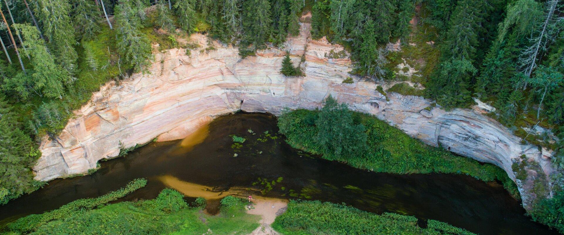
Come walk with your family on the Taevaskoda hiking trail, located in the Ahja River Valley Landscape Reserve. The trail starts from the Taevaskodade parking lot and runs circularly along both banks of Ahja River, where the outcrops of Väike and Suur Taevaskoja, caves formed by springs, and picturesque views catch your eye.At the beginning of the hiking trail, there is an information board with a map of the recreational area and the trail. On the trail, signs in Estonian, English, and Russian will help you find the way. Visitors with a wheelchair or a stroller can travel along the alternative trail to Suur Taevaskoda, length 3 km. Good to know: you can see kingfishers flying around while walking in Taevaskoda.

  • Hiking Trails
  • Birdwatching

Tamme Outcrop hiking track

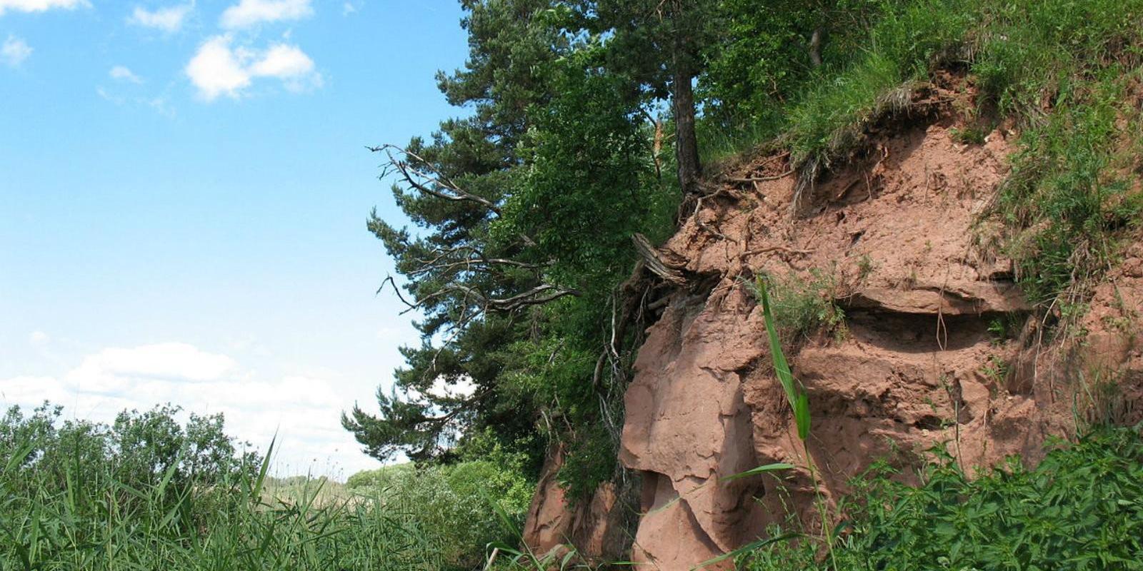
Tamme Outcrop hiking track is located on the eastern shore of Lake Võrtsjärv between the villages of Tamme and Neemisküla in Elva municipality. The area is rich in Devon sandstone outcrops from the Aruküla layer. Tamme Outcrop, which is located on the track, is an area where placoderms have been found and where valuable paleontological material has been collected since the second half of the 19th century.Ten information boards have been set up along the hiking track, which is almost 2 km long. They provide interesting information about the local natural environment. If you walk 1 km north on the track, you can turn back and hike back along a field or on a forest trail on the outcrop.

  • Hiking Trails

Taagepera hiking trail

The total length of Taagepera hiking trail is 5.4 km. The trail begins and ends at the Taagepera campfire site and partly runs along the shores of the Õhne River. The trail can also be completed in smaller circles – 1.6 km and 4.0 km long. There are wooden signposts and information boards at the hiking trail, capfire site is suitable also for camping.The main sights of the hiking trail include the Taagepera Castle with the Castle Park, Taagepera Church and the Cemetery, the graveyard of barons, the Musukivi rock, the sacrificial stone, the underground cemetery, and the Õhne River.A truly inspiring hike full of history, architecture, and ancient nature!

  • Hiking Trails
  • Parks
  • Beaches

Lake Pühajärv

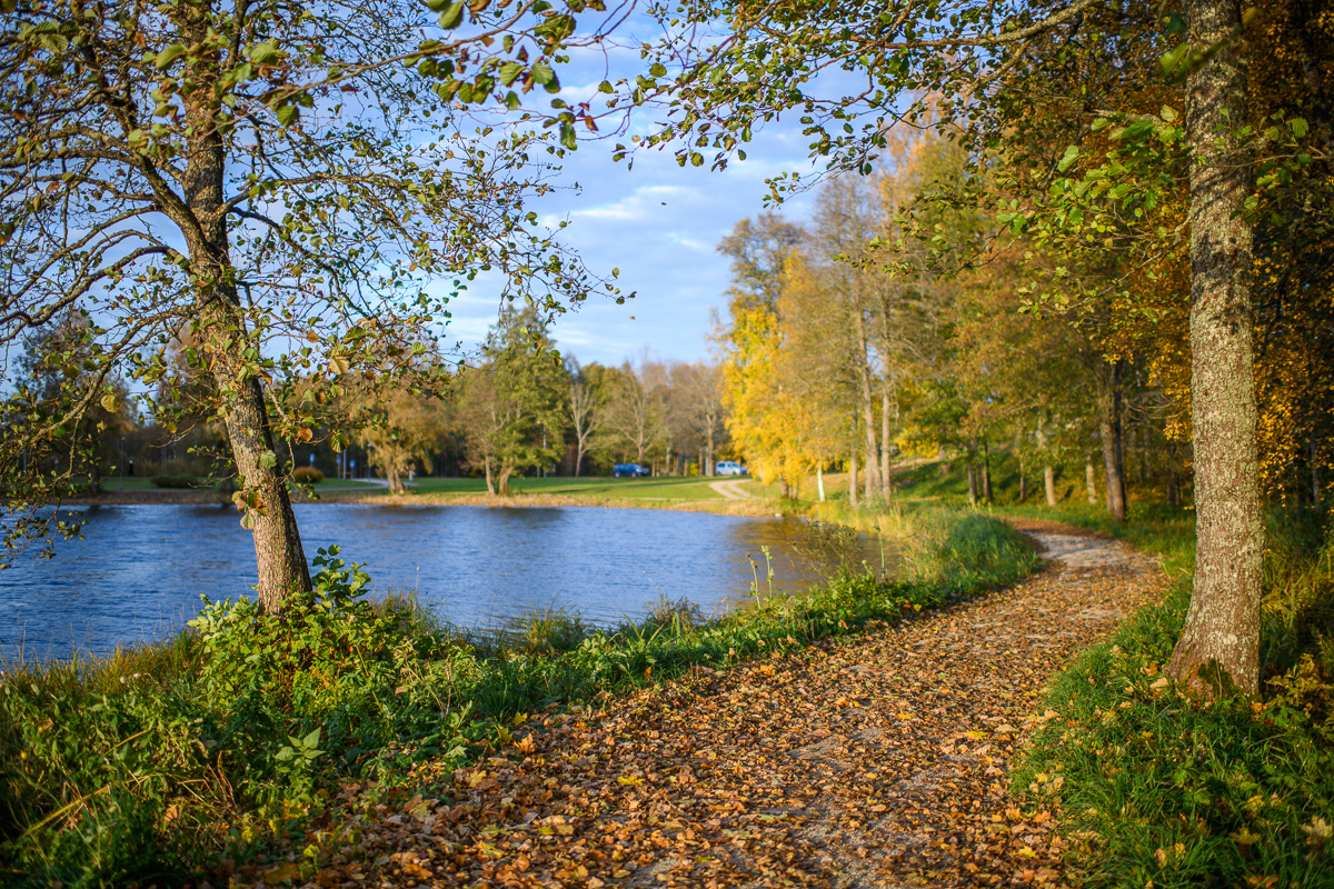
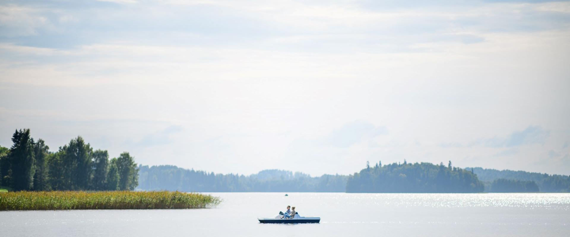
Pühajärv, with its picturesque winding shoreline and four islands, is the largest lake in Otepää Nature Park. At the northern tip of Pühajärv, there is a beach area with a beach house, ball courts, a children's playground, recreation areas, a café, and a boat harbor. At the southern tip is the Kooliranna recreation area, and from there begins the Väike Emajõgi, which meanders through Valgamaa. Pühajärve Park is the starting point for the Murrumetsa hiking trail, and around the lake runs the 12 km long Pühajärve hiking trail, which passes by the lake's most famous spring, the Armuallikas. In winter, when weather conditions are suitable, an ice trail is created on the lake for hiking, and a winter swimming area is open at Pühajärve Beach.Pühajärv has provided plenty of inspiration for writers and artists. For example, Fridebert Tuglas and Eino Leino have vacationed here. Information about Konrad Mägi's Pühajärv paintings can be found on an info board by the lakeshore near the GMP Pühajärve restaurant. In 1991, the Dalai Lama, Tenzin Gyatso, visited Otepää and blessed the lake, an event commemorated by a wooden sculpture on the shore of Pühajärve Park.
  • Collaboration
  • News
  • Contacts
  • Privacy Policy
Join our mailing list!

"*" indicates required fields

This field is for validation purposes and should be left unchanged.
I authorise marketing

South Estonia Tourism Cluster

info@visitsouthestonia.com