• Explore
    • Nature
    • Culture
    • Food
    • Family
    • Activity
    • Blog
    Smoke sauna
    Weather and seasons
  • Plan
    • Accommodation
    • How to get here
    • Weather and seasons
    • Sustainability
    • Tourist info
    Discover South Estonia’s Most Beautiful Manors and Castles
    Top 20 Sights in South Estonia
  • For professionals
    • For professionals
    • Collaboration
    • News
    • Projects
    • Training
    • Repository
    • Community (opens in new tab)
    • Contacts
ENG
  • EnglishENG
  • EestiEST
  • LatviešuLAT
  • РусскийRUS
  • SuomiFIN
ENG
  • EnglishENG
  • EestiEST
  • LatviešuLAT
  • РусскийRUS
  • SuomiFIN
Popular searches:
Show all
  • Nature and Activities
  • Nature
  • Hiking Trails

Taevaskoda Hiking Trail

Saesaare parkla, Põlva vald, Põlva maakond, 63229

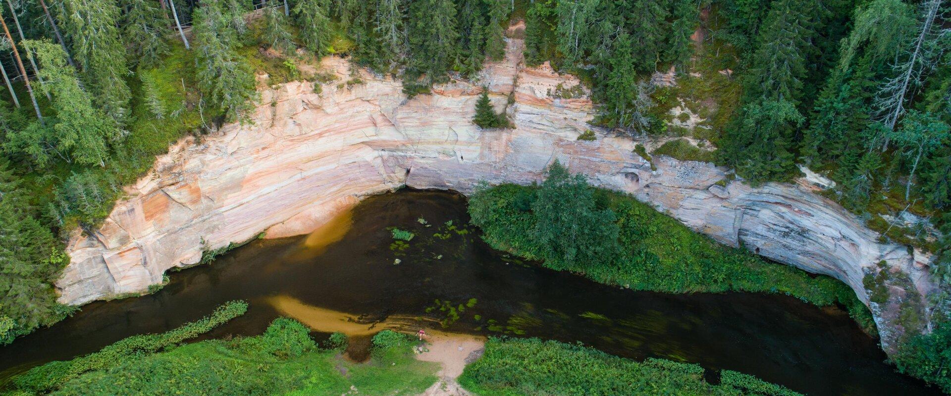
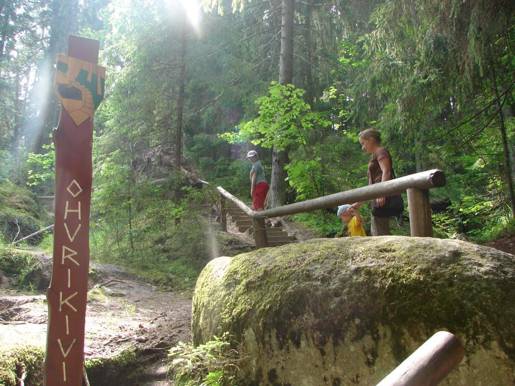
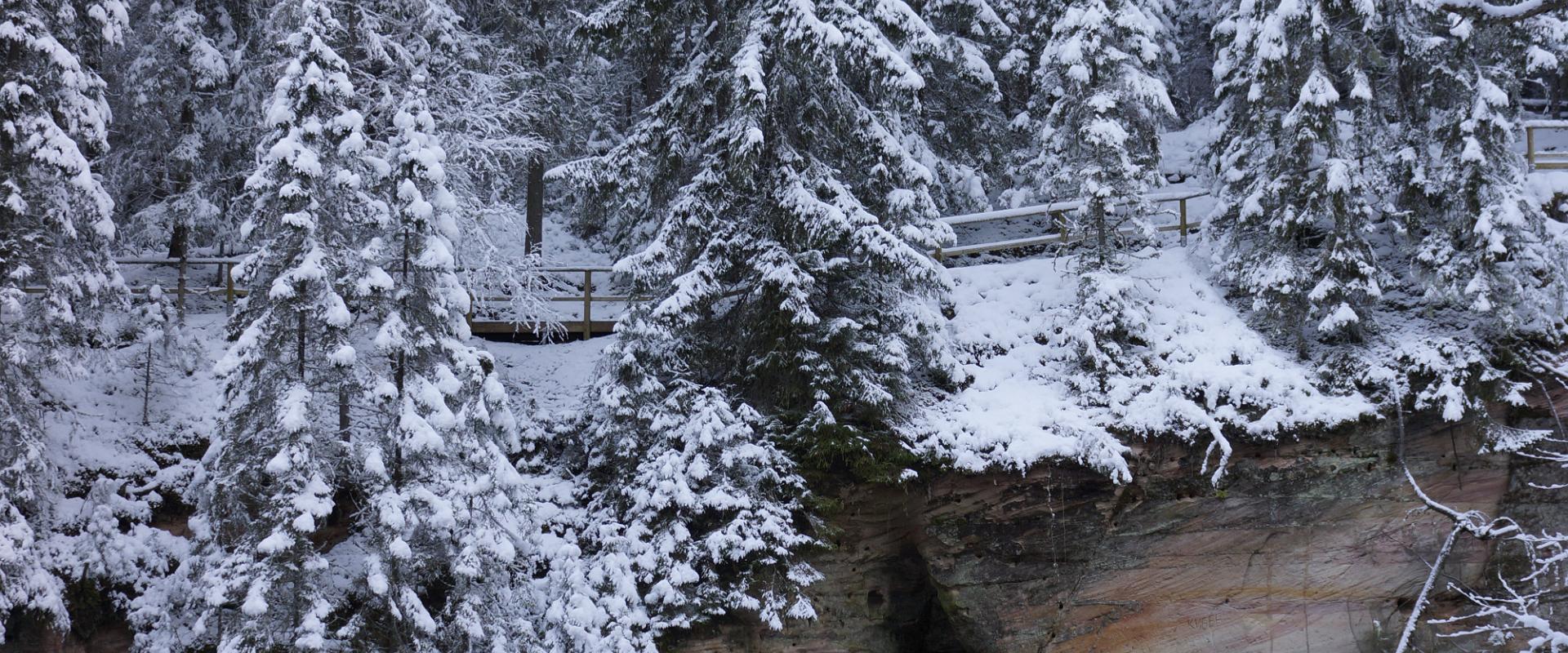
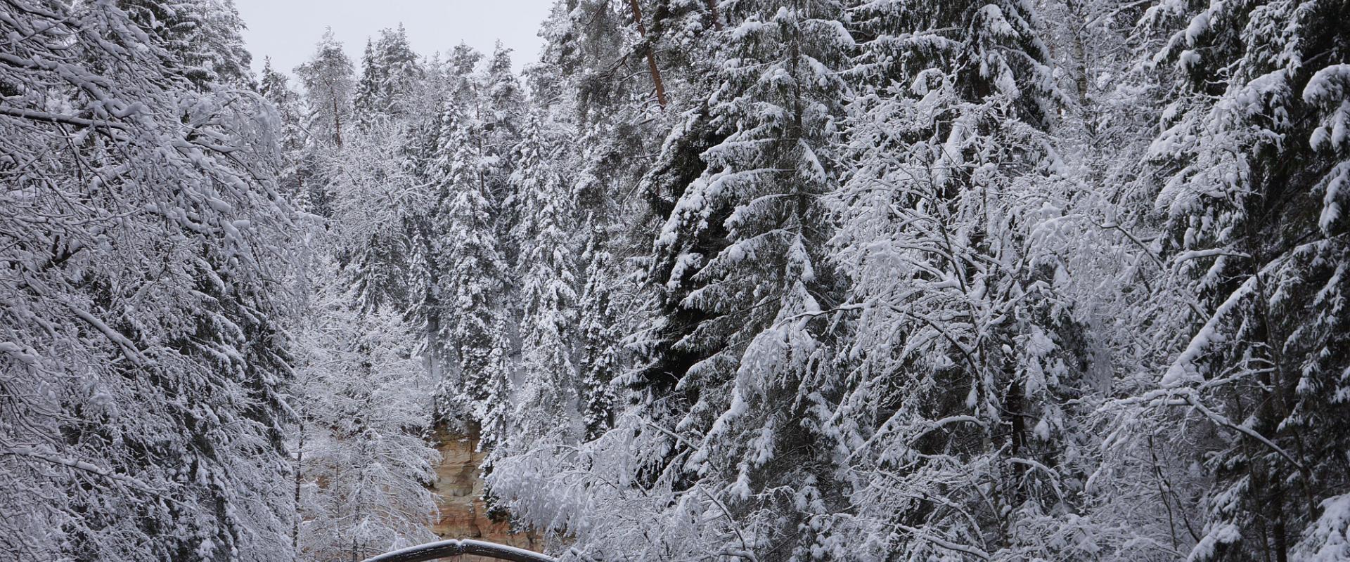
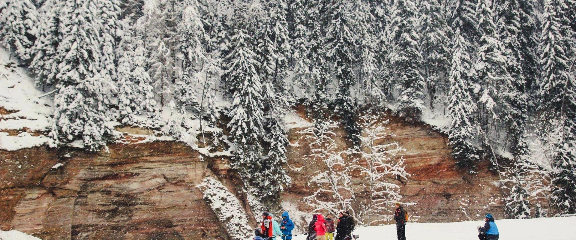
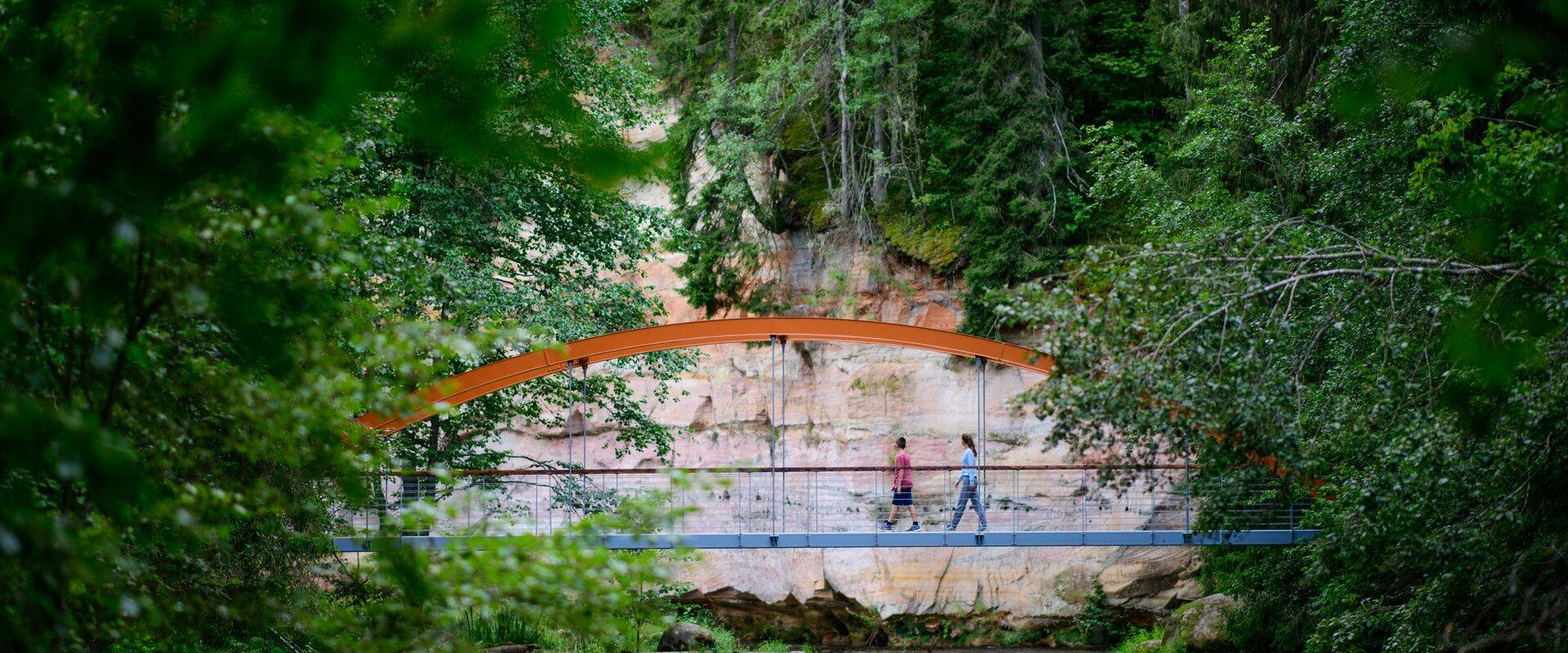
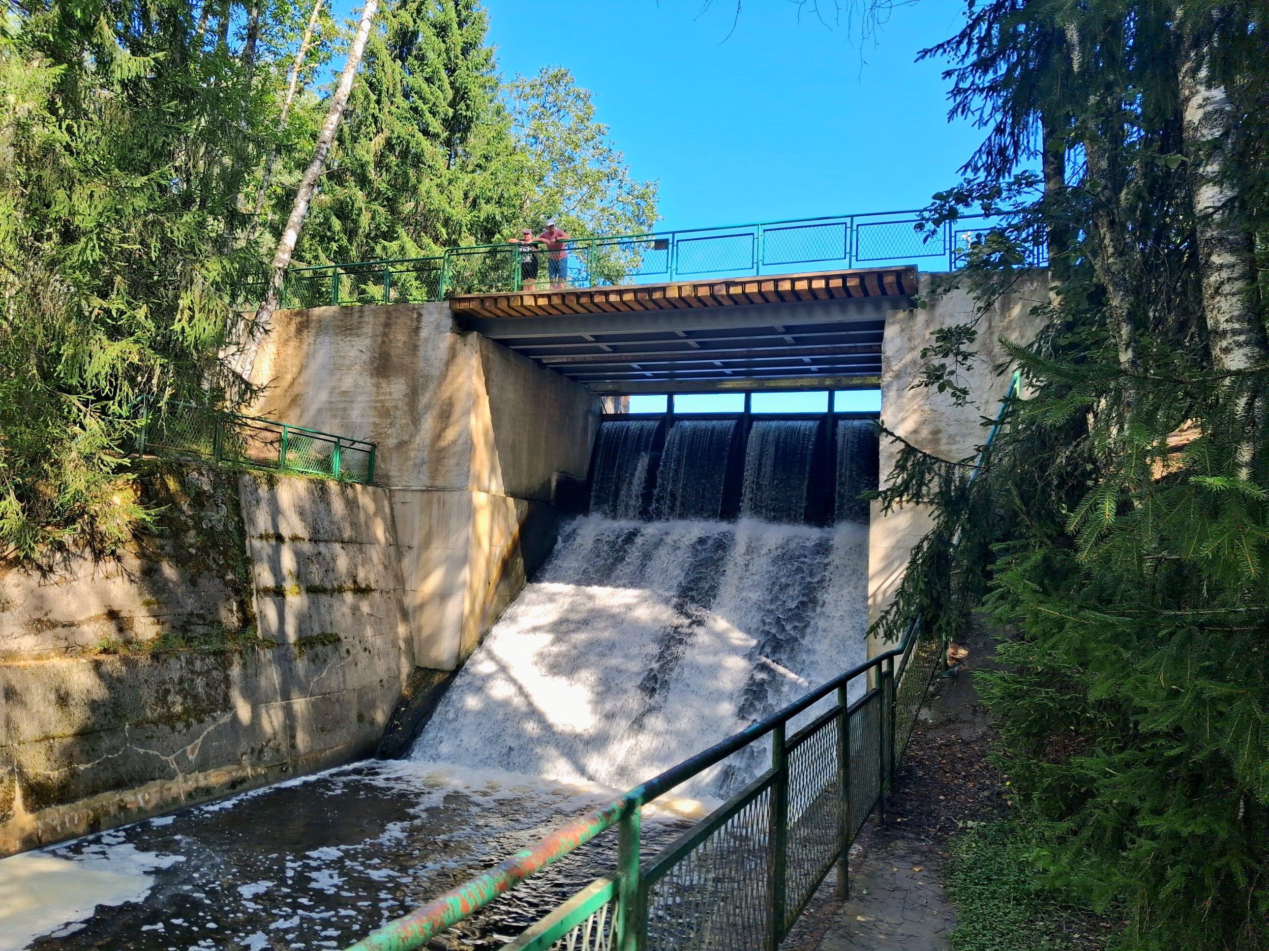
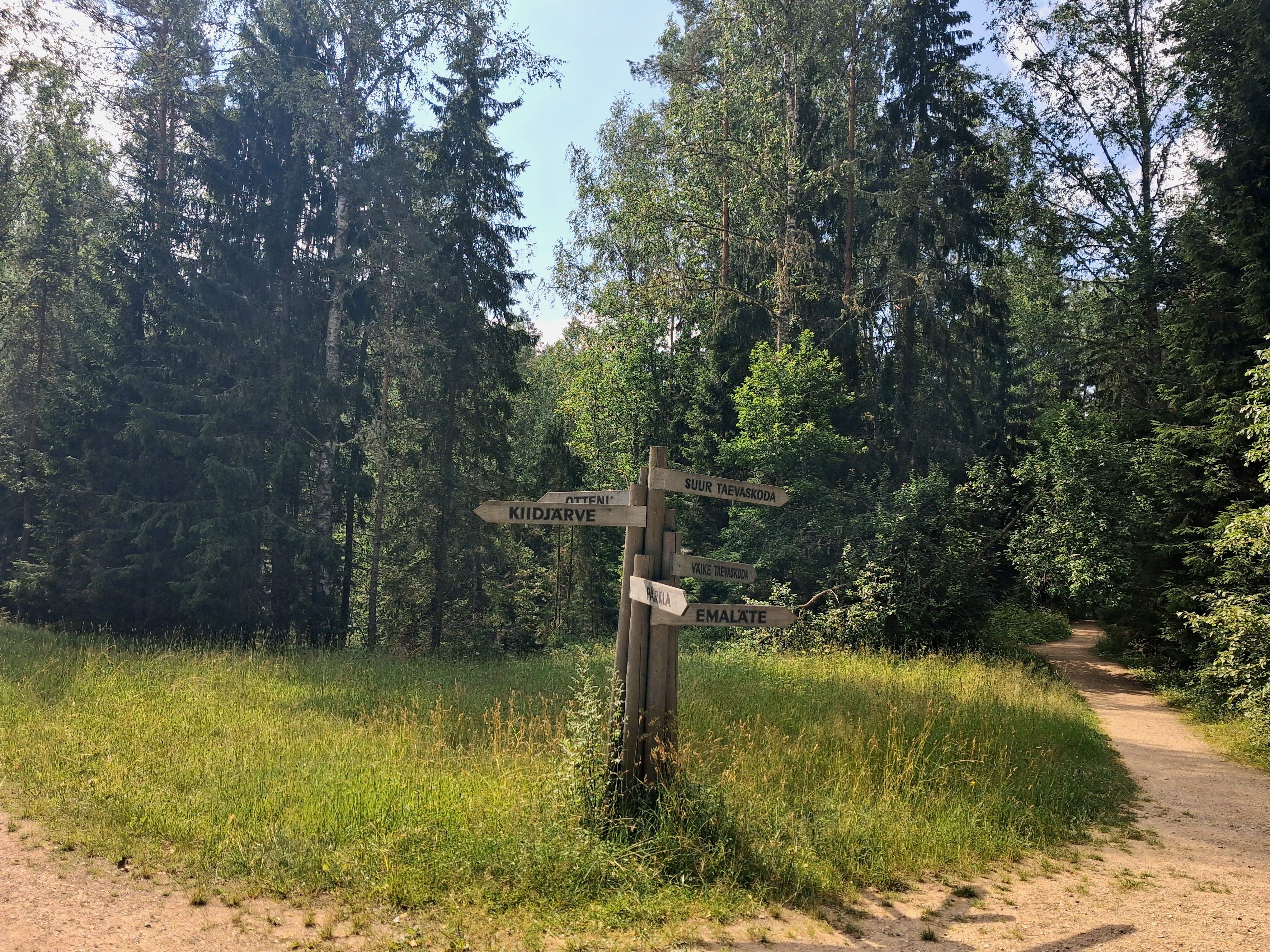
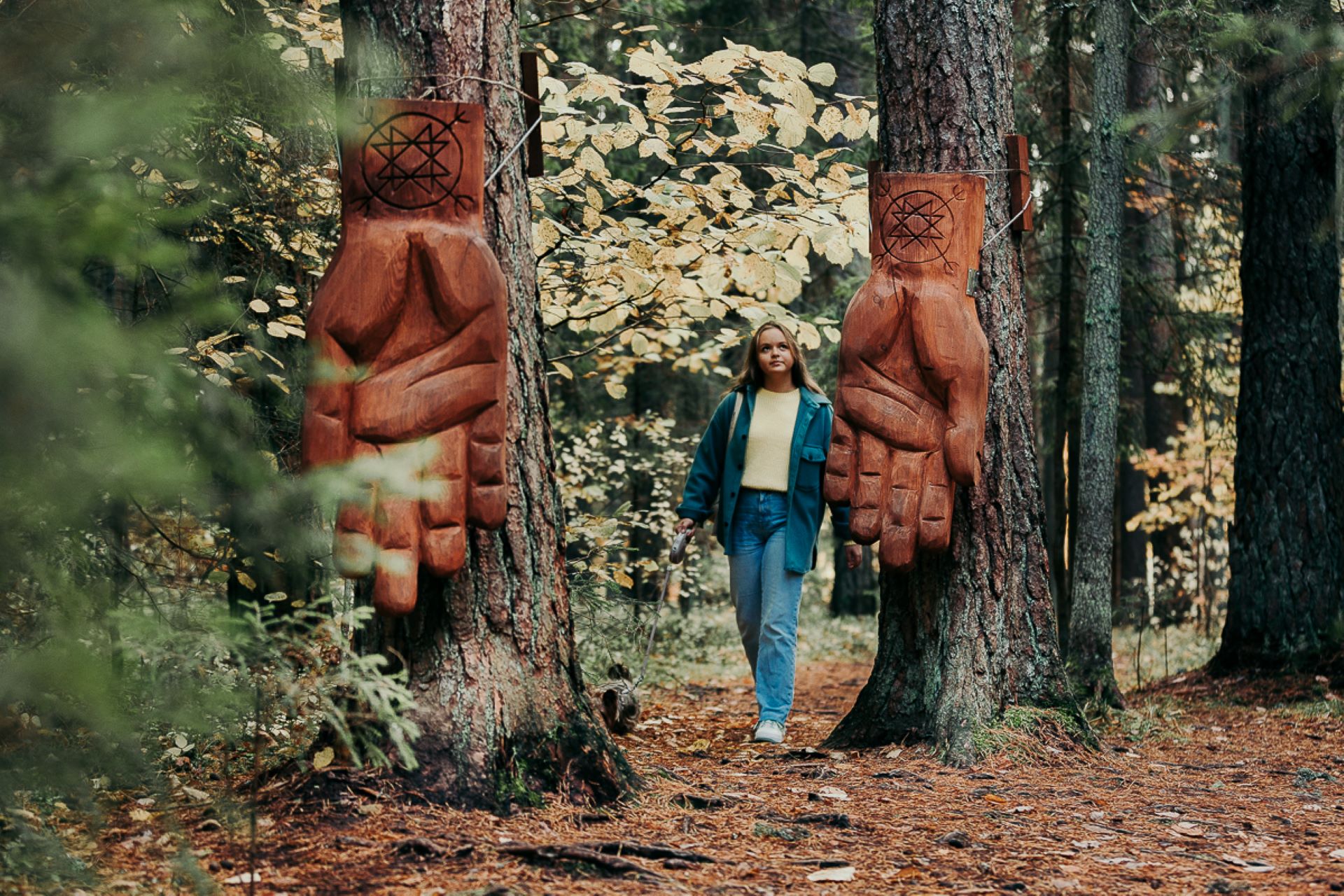
Come walk with your family on the Taevaskoda hiking trail, located in the Ahja River Valley Landscape Reserve. The trail starts from the Taevaskodade parking lot and runs circularly along both banks of Ahja River, where the outcrops of Väike and Suur Taevaskoja, caves formed by springs, and picturesque views catch your eye.At the beginning of the hiking trail, there is an information board with a map of the recreational area and the trail. On the trail, signs in Estonian, English, and Russian will help you find the way. Visitors with a wheelchair or a stroller can travel along the alternative trail to Suur Taevaskoda, length 3 km.
Good to know: you can see kingfishers flying around while walking in Taevaskoda.
Amenities

  • Information boards

Open times

Throughout the Year

Around the Clock

Contact

  • +372 676 7122
  • info.kiidjarve@rmk.ee

Links

rmk.ee

See more

  • Camping sites
  • Lookout towers
  • Hiking Trails

Hiking trails of the Paganamaa Landscape Reserve

there are three different hiking trails with a length of 3.8 km, 4.3 km and 4.7 km in the Paganamaa , just off the Latvian border in plus, there's a gazebo in . All trails begin at the Paganamaa bonfire site, where a beautiful view of Paganamaa nature can be enjoyed from the tower. on the trails, you'll see a mixed forest with a primeval forest appearance and an old Kazik, with Kikkajärv and greater Mudajärv on the road. at the beginning of the hiking trails, there's also a resting place, which is a good place for bonfire making, camping, camping.

  • Camping sites
  • Hiking Trails
  • Beaches

Lake Pühajärv hiking trail

The hiking trail that encircles Lake Pühajärv starts near the centre of Otepää Nature Park. The 14 km trail takes you on a voyage of discovery around one of the most unique and beautiful lakes in Estonia. Covering the whole track takes from 3–6 hours. There are rest areas and barbecue sites along the way. Part of the track (approximately 2.2 km) runs along the Pühajärve–Kääriku exercise track by the Otepää–Kääriku highway. You can cover the track by foot or bike. Cyclists must bear in mind that there are parts of the track on which you will have to push your bike instead of riding it. The Angunina, Kiigemäe and Koolirand campfire sites are located on the trail. There, you can make a fire and camp.

  • Hiking Trails

Kütioru hiking trail

The hiking trail starts from the parking area near the Kütiorg Holiday Centre. The trail is diverse, with fairly steep and challenging terrain, so it's recommended to allow four to five hours to complete it. Along the trail, hikers get the best view of Estonia’s largest and most powerful ancient valley – Kütiorg – and can explore old mill sites and other cultural heritage landmarks. In the forested slopes of Kütiorg, there are spruce stands over a hundred years old, as well as exceptionally thick and tall aspen trees. Near the starting point of the trail, there is a campfire site equipped with a grill grate. Good to know: Part of the trail passes through private property, where dogs may roam freely.

  • Hiking Trails
  • Birdwatching

Tamme Outcrop hiking track

Tamme Outcrop hiking track is located on the eastern shore of Lake Võrtsjärv between the villages of Tamme and Neemisküla in Elva municipality. The area is rich in Devon sandstone outcrops from the Aruküla layer. Tamme Outcrop, which is located on the track, is an area where placoderms have been found and where valuable paleontological material has been collected since the second half of the 19th century.Ten information boards have been set up along the hiking track, which is almost 2 km long. They provide interesting information about the local natural environment. If you walk 1 km north on the track, you can turn back and hike back along a field or on a forest trail on the outcrop.

  • Hiking Trails

Õrsava Lake Hiking Trail

The Õrsava Lake Hiking Trail winds around the lake of the same name. The 5 km trail starts officially at the Värska school stadium, but you can start at any point. The lakeside footpath is made more exciting by several bridges. On the shore of Õrsava village there is a campfire site and an RMK bonfire site, as well as a swimming area.In addition to scenic views of nature and pine forests, the hiking trail offers some history: it's partly on the road of the former Estonian Defense Forces Training Center, the so-called , and although the camp was largely dismantled in World War II, some soldiers' barracks and other buildings have been preserved.

  • Hiking Trails

Tõrvandu forest study trail

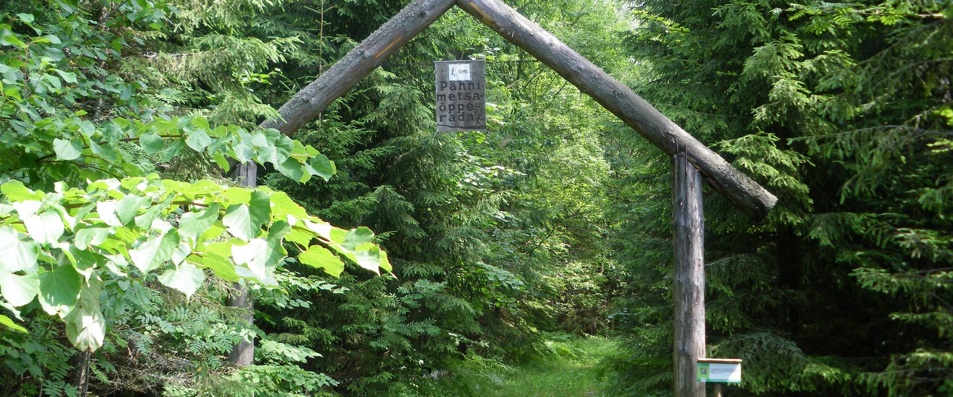
The 3 km Tõrvandu forest study trail starts at a crossroads about 400 metres from Pähni Nature Centre. This marked and explained hiking trail is meant for everyone interested in the forest. There are campfire grounds, camping area and shelters on the trail. The 25 observation points of the trail are also permeable by car.

  • Hiking Trails
  • Birdwatching

Large and Small Taevaskoda sandstone outcrops

The two Taevaskoda outcrops on the banks of the ancient valley of the Ahja River are one of the most frequently visited sites in southern Estonia. The sandstone outcrops and the ancient river form the most beautiful part of the Ahja River Landscape Reserve. Legends speak of caves, secret passageways and of demons and a mermaid with a golden comb. A walk from the Saesaare dam to the Small Taevaskoda outcrop, the Emaläte spring, the Neitsikoobas cave and the Large Taevaskoda outcrop, which rises 22.5 metres above the river, is worth undertaking in every season. The beautiful and exciting natural setting attracts hikers – it is a place that every Estonian visits at least once in their life!

  • Camping sites
  • Hiking Trails

Lake Kavadi hiking trail

The 2.2 km hiking trail in Kavadi runs along the banks of Lake Kavadi. The hiking trail begins and ends in New-Salus Park, which has a resting place, campfires with barbecue grilles and a campsite. The trail with the direction of travel winds both along the shore lane and under the forest. Lake Kavadi is considered the most articulated shore-lined lake in Estonia. The surface area of the lake is 27.4 ha. The current size and look have been acquired by the lake some 140 years ago when Baron C. FR. von Maydell, who bought the New-Salus mansion, swelled up three small swamp lakes.

  • Collaboration
  • News
  • Contacts
  • Privacy Policy
Join our mailing list!

"*" indicates required fields

This field is for validation purposes and should be left unchanged.
I authorise marketing

South Estonia Tourism Cluster

info@visitsouthestonia.com