• Explore
    • Nature
    • Culture
    • Food
    • Family
    • Activity
    • Blog
    Smoke sauna
    Weather and seasons
  • Plan
    • Accommodation
    • How to get here
    • Weather and seasons
    • Sustainability
    • Tourist info
    Discover South Estonia’s Most Beautiful Manors and Castles
    Top 20 Sights in South Estonia
  • For professionals
    • For professionals
    • Collaboration
    • News
    • Projects
    • Training
    • Repository
    • Community (opens in new tab)
    • Contacts
ENG
  • EnglishENG
  • EestiEST
  • LatviešuLAT
  • РусскийRUS
  • SuomiFIN
ENG
  • EnglishENG
  • EestiEST
  • LatviešuLAT
  • РусскийRUS
  • SuomiFIN
Popular searches:
Show all
  • Nature and Activities
  • Nature
  • Hiking Trails

Emajõe river shore path

Tartu linn, Tartu maakond, 50603

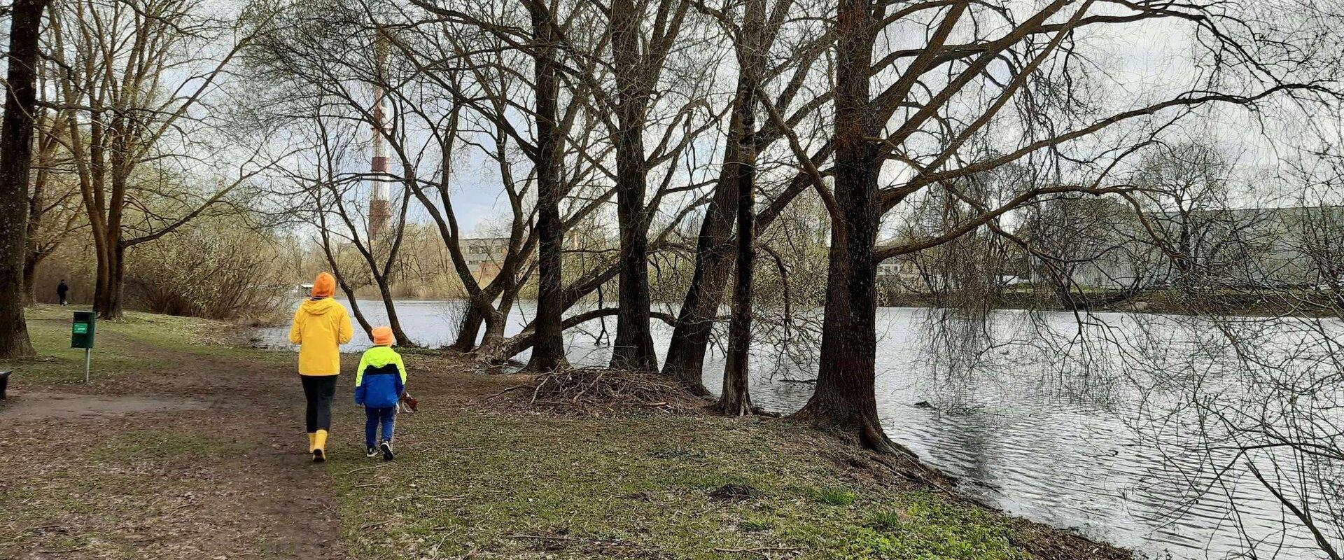
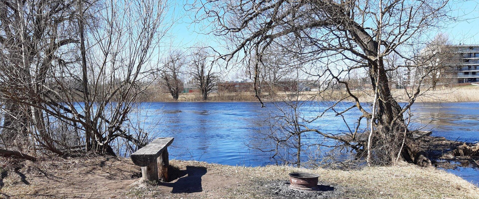
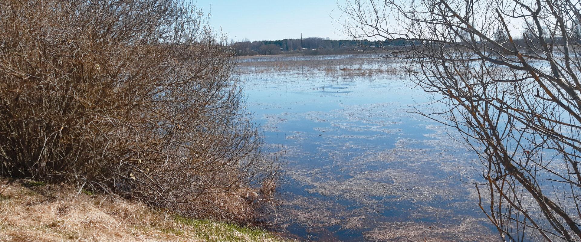
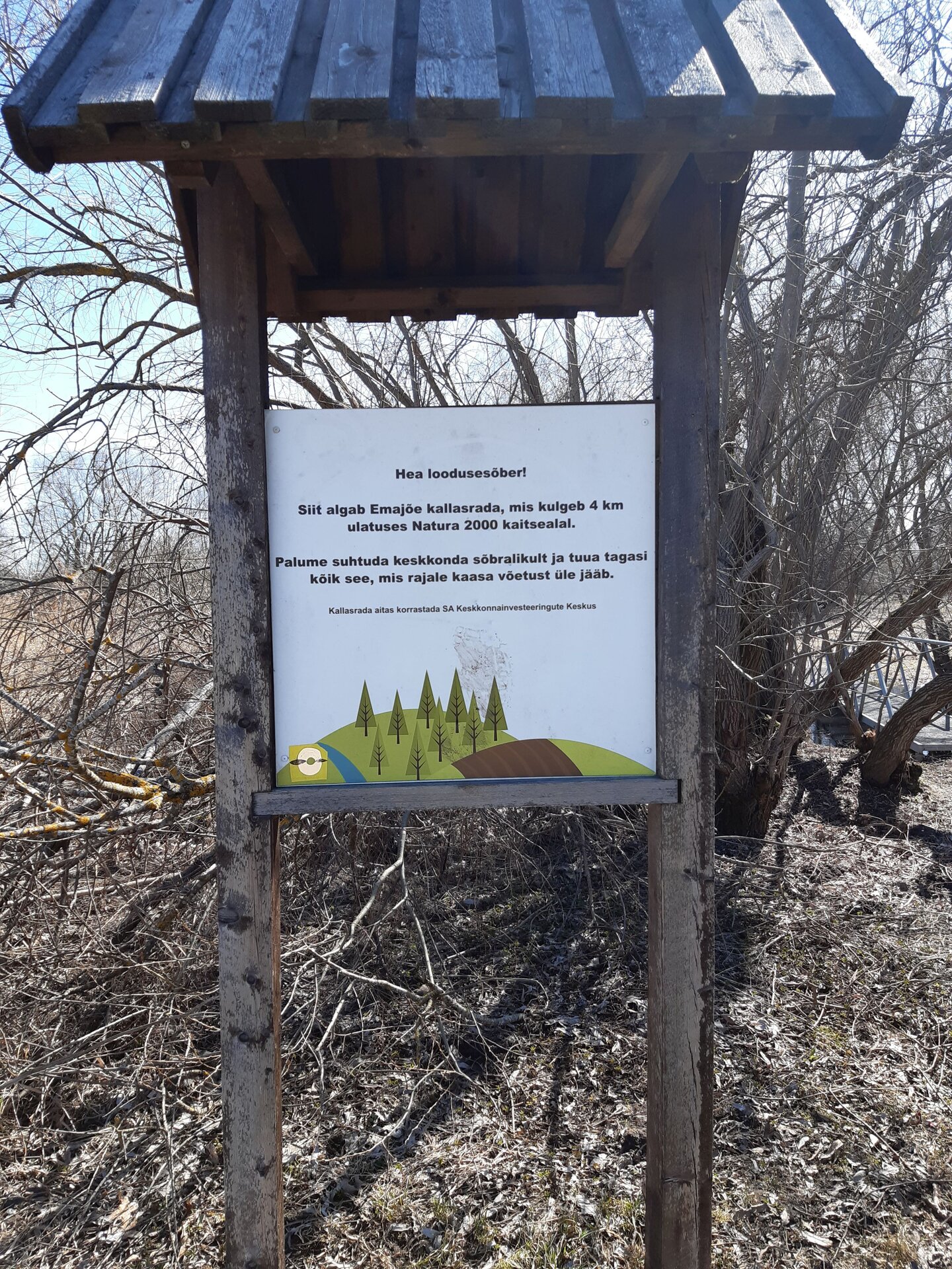
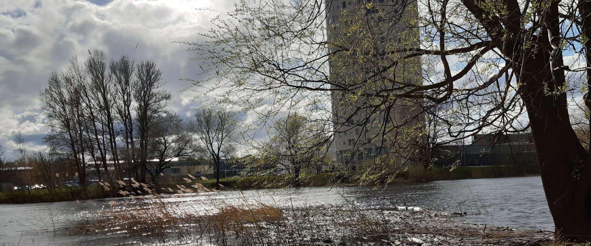
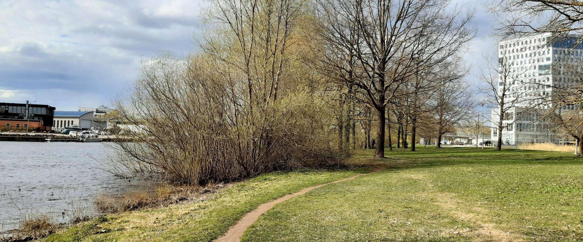
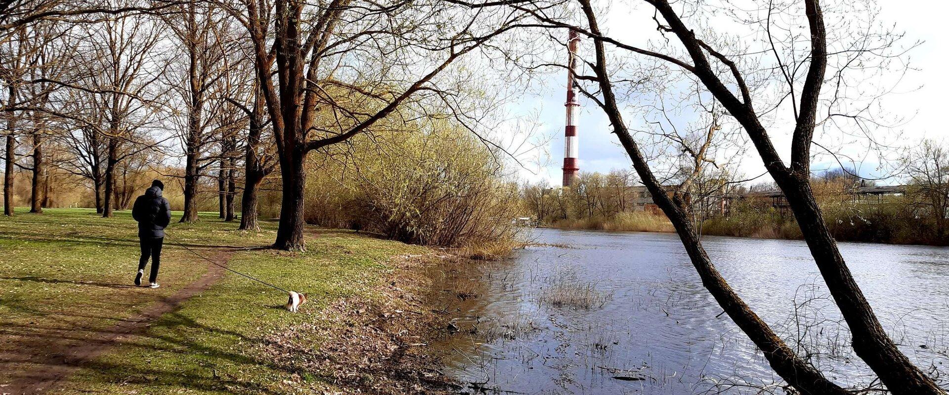
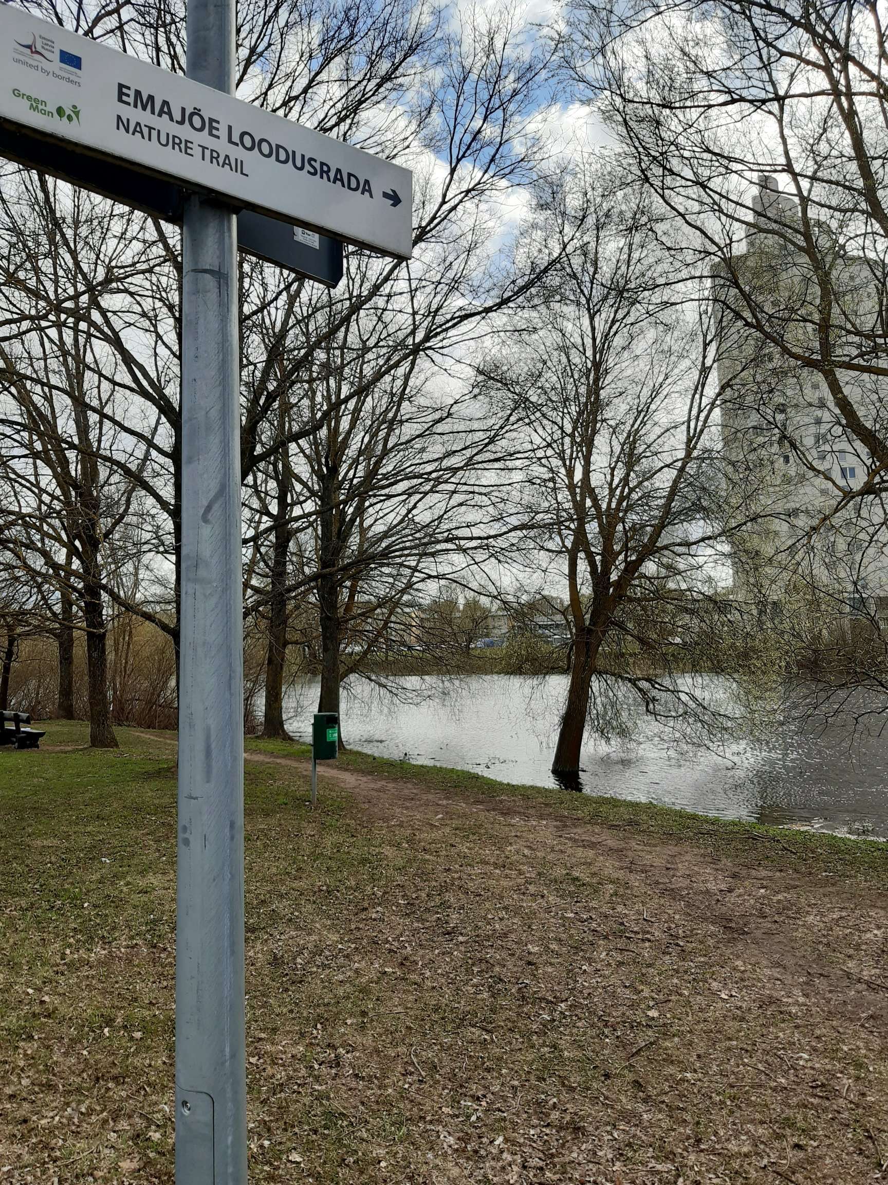
The 4-km Emajõe river shore path starts from the Turu bridge between River Emajõgi and Anne channel, and it runs on the Natura 2000 protection area and offers spacious views of the Anne channel, River Emajõgi, ship and boat traffic, and Karlova harbour.The hiking trail features information boards, riverside picnic areas, and several bridges, you can also meet hobby fishermen there. During spring, the path may be flooded and provides an opportunity to enjoy the views of the flooded meadow. When the trail ends, you can walk the same way back. Another option is to turn left to the gravel road, which leads to the Ihaste cycling and walking road.
Amenities

  • Information boards
  • Paid parking

Open times

Throughout the Year

Around the Clock

Links

See more

  • Hiking Trails

Helme caves

Located in the manor park of the same name, the Helme caves, are an unrivalled sight in Estonia. Situated to the north of castle ruins, the caves have a white Burtniek layer of sandstone walls standing 3 m high. Unfortunately for cave lovers though, some of the better known caves have already collapsed. Once comprised of seven interlinked chambers, the biggest of which was known as the Church of Moses. Peppered with springs, the caves have a long history; and over the years they have been dug out and used as shelters when needed. Did you know...?: In ancient times the Helme caves were also known locally as the gateway to Hell.Kivialune (under the rocks) was a shelter for Old Estonians during the wars.

  • Hiking Trails

Mustjärve hiking trail

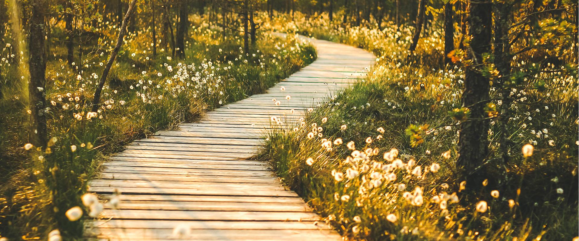
A beautiful bog lake hides in the shade of a pine forest in the northern part of the Lulli bog next to Lake Võrtsjärv. The natural lake is large (23 ha) and very shallow (there is only a metre of water here).The hiking trail starts at the information stand in the car park. Further on, the boardwalk leads directly to the water, which offers scenic views of the lake and the surrounding bog landscape. The short hiking trail (2.3 km) runs around the lake. It is impossible to get lost here, because the trail is circular and everyone finally gets back to the starting point.In the second half of the summer, cloudberries, blueberries, cranberries, and mushrooms can be picked from the surroundings.

  • Hiking Trails

Apteekrimäe forest trail

Apteekrimäe forest track starts and ends by Otepää Sports Hall on Mäe Street. The 4 km track runs through the forest to Nüpli Sports Track and then back to the Apteekri forest, where it meets the forest path between Lake Marguse and Otepää Garden Town before returning to its starting point after crossing the Sulaoja bridge. The track can be used all year round.

  • Lookout towers
  • Hiking Trails

Kekkonen hiking track

The Kekkonen hiking track can be used all year round – in summer for hiking, jogging and cycling and in winter for skiing. The track was named after former Finnish president Urho Kaleva Kekkonen, who visited Kääriku. The 15 km track starts from Kääriku stadium and passes through several spots of natural beauty, including Harimägi Hill – one of the highest points in the Otepää Highlands (211.3 m above sea level). Its viewing tower, which stands 26 metres high, is right next to the hiking track. Those with more energy can follow the additional 5 km loop on Harimägi Hill.

  • Hiking Trails

Taevaskoja–Otteni–Taevaskoja hiking trail

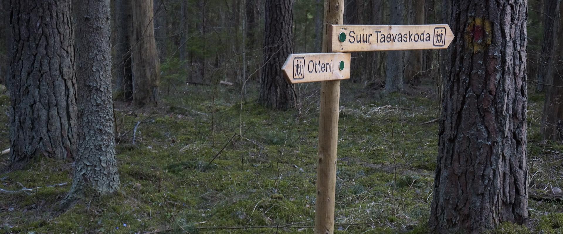
The hiking trail, which starts from Suur Taevaskoda, runs on the high banks of the Ahja River and on the tracks of the menu film The Last Relic. Suur Taevaskoda, the partially preserved Otten or Valgesoo watermill complex, the two-vaulted Otten mill bridge, and the miniature canyon, which became famous thanks to the film The Last Relic, picturesque views of the Ahja River, and a pit of a forest brothers' bunker can be seen on the hiking trail. The trail is marked with green colour on the trees and signs and there are several information boards on the trail. It is possible to camp and make a campfire at the Otten campfire site. When coming by car, the hike starts from Saesaare car park and therefore, the trail is about 2 km longer.

  • Beaches
  • Camping sites
  • Hiking Trails

Lake Pühajärv hiking trail

The hiking trail that encircles Lake Pühajärv starts near the centre of Otepää Nature Park. The 14 km trail takes you on a voyage of discovery around one of the most unique and beautiful lakes in Estonia. Covering the whole track takes from 3–6 hours. There are rest areas and barbecue sites along the way. Part of the track (approximately 2.2 km) runs along the Pühajärve–Kääriku exercise track by the Otepää–Kääriku highway. You can cover the track by foot or bike. Cyclists must bear in mind that there are parts of the track on which you will have to push your bike instead of riding it. The Angunina, Kiigemäe and Koolirand campfire sites are located on the trail. There, you can make a fire and camp.

  • Hiking Trails

Rebäse landscape trail

The 7-kilometre-long Rebäse landscape trail is located in the Karula National Park. The trail runs through old farm landscapes, passing the oldest farmstead in the area and the Linnamägi hill with traces of settlement from the Early Iron Age. Hikers can climb up the local "Mount Ararat", see Lake Raudjärv with its ice-cold water, and admire one of the largest gullies of Karula upland.You may need sturdy boots to pass the trail because in rainy weather the trail might be muddy and the boardwalk slippery. The trail also passes pastures, so you might encounter curious but generally friendly cows. Be careful around farm fences, they may be electric!

  • Hiking Trails
  • Guided tours

Kiidjärve Visitor Centre

Kiidjärve Nature Centre is located in Kiidjärve-Kooraste recreation area on the banks of the picturesque Ahja River in Kiidjärve village. It seeks to guide visitors, young and old alike, to the beautiful scenery of the area so that the forest and nature itself will reveal their secrets to a keen observer. The nature centre has information materials and information about Kiidjärve-Kooraste, other RMK recreation areas, and other various attractions. In the immediate vicinity are famous celestial Taevaskoda sandstone outcrops, Kiidjärve Formica kingdom, and the picturesque Valgesoo bog.

  • Collaboration
  • News
  • Contacts
  • Privacy Policy
Join our mailing list!

"*" indicates required fields

This field is for validation purposes and should be left unchanged.
I authorise marketing

South Estonia Tourism Cluster

info@visitsouthestonia.com