• Открой
    • Еда
    • Природа
    • Культура
    • Семья
    • Спорт
    • Сообщество
    • Блог
    У Вас появились свободные выходные, чтобы провести с детьми? Здесь собраны лучшие места в Южной Эстонии для семейного отдыха
  • Планируй
    • Размещение
    • Информация
    • Varamu
    Sustainability
RUS
  • РусскийRUS
  • EestiEST
  • EnglishENG
  • LatviešuLAT
  • SuomiFIN
RUS
  • РусскийRUS
  • EestiEST
  • EnglishENG
  • LatviešuLAT
  • SuomiFIN
Populaarsed otsingud:
Näita kõiki tulemusi
  • Nature and Activities
  • Nature
  • Hiking Trails

Emajõe river shore path

Tartu linn, Tartu maakond, 50603

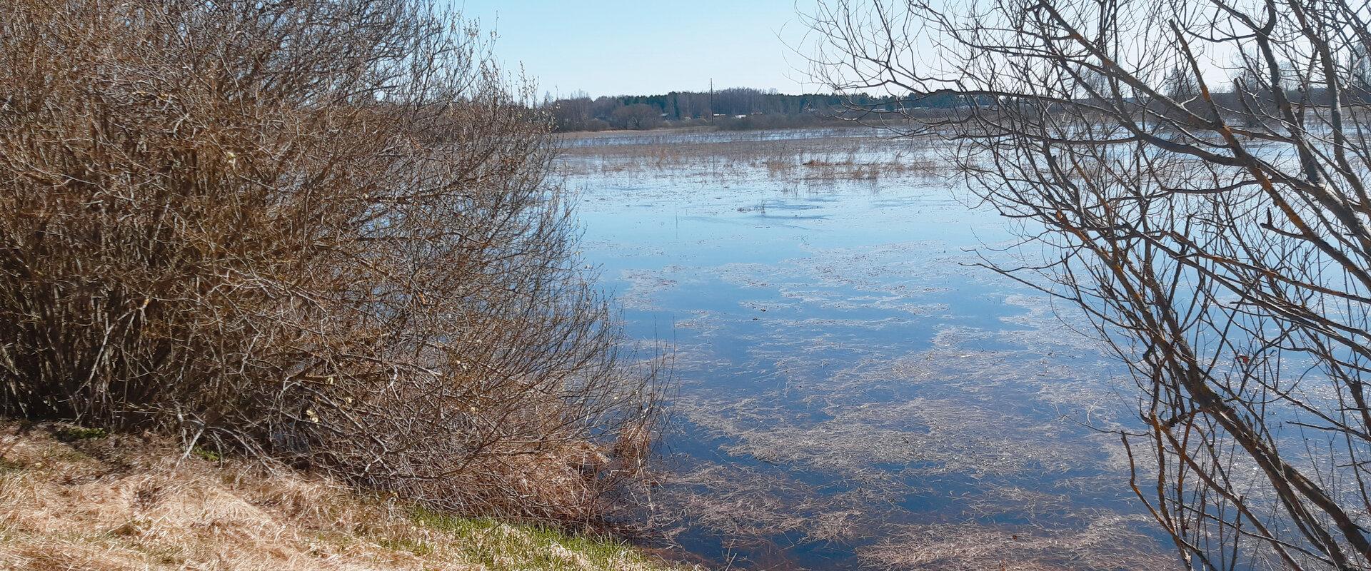
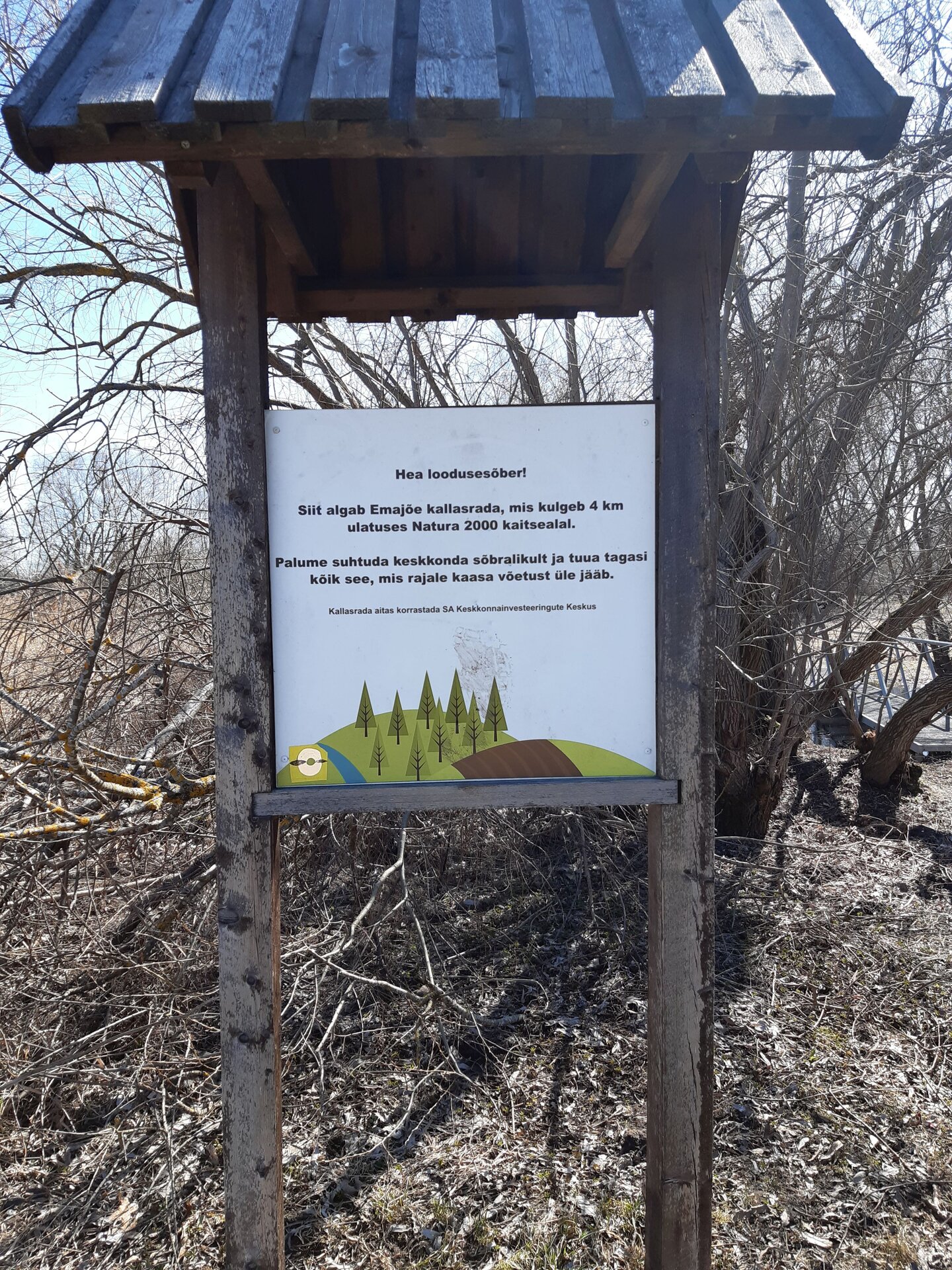
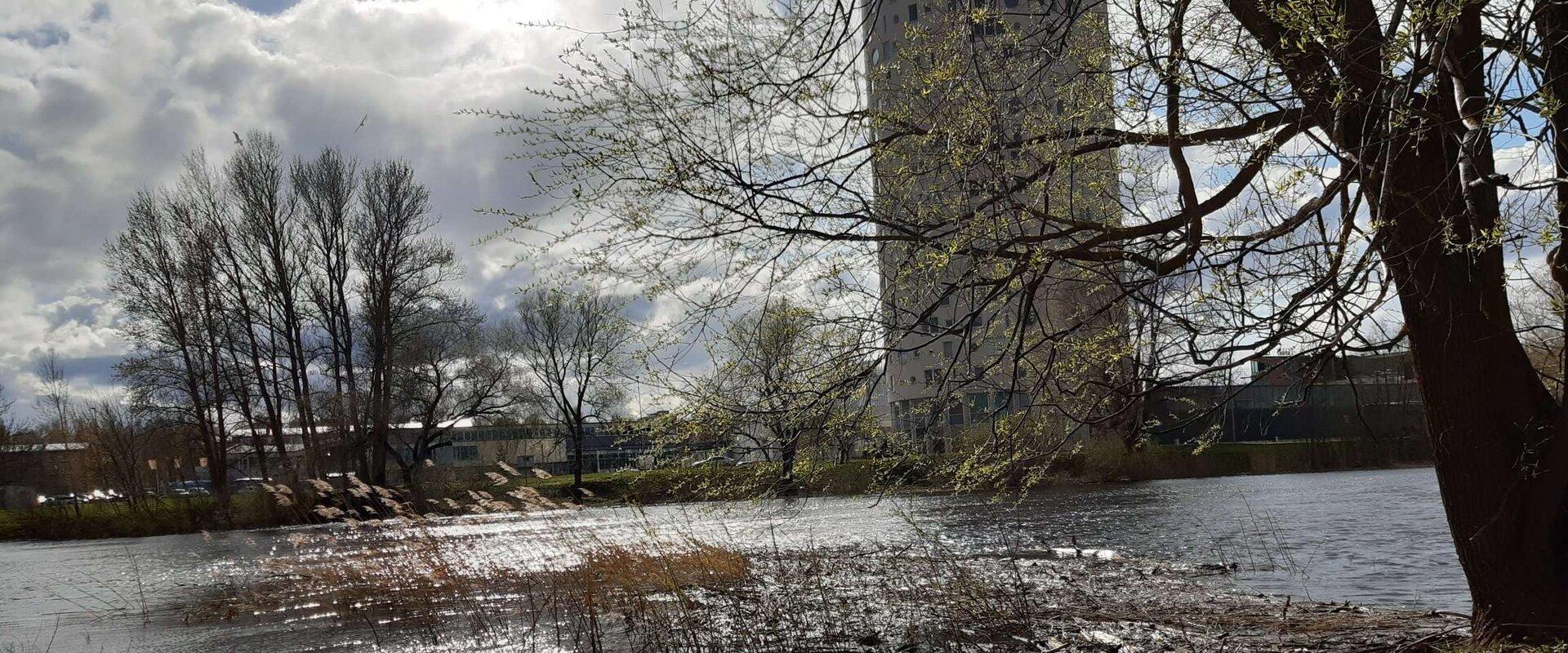
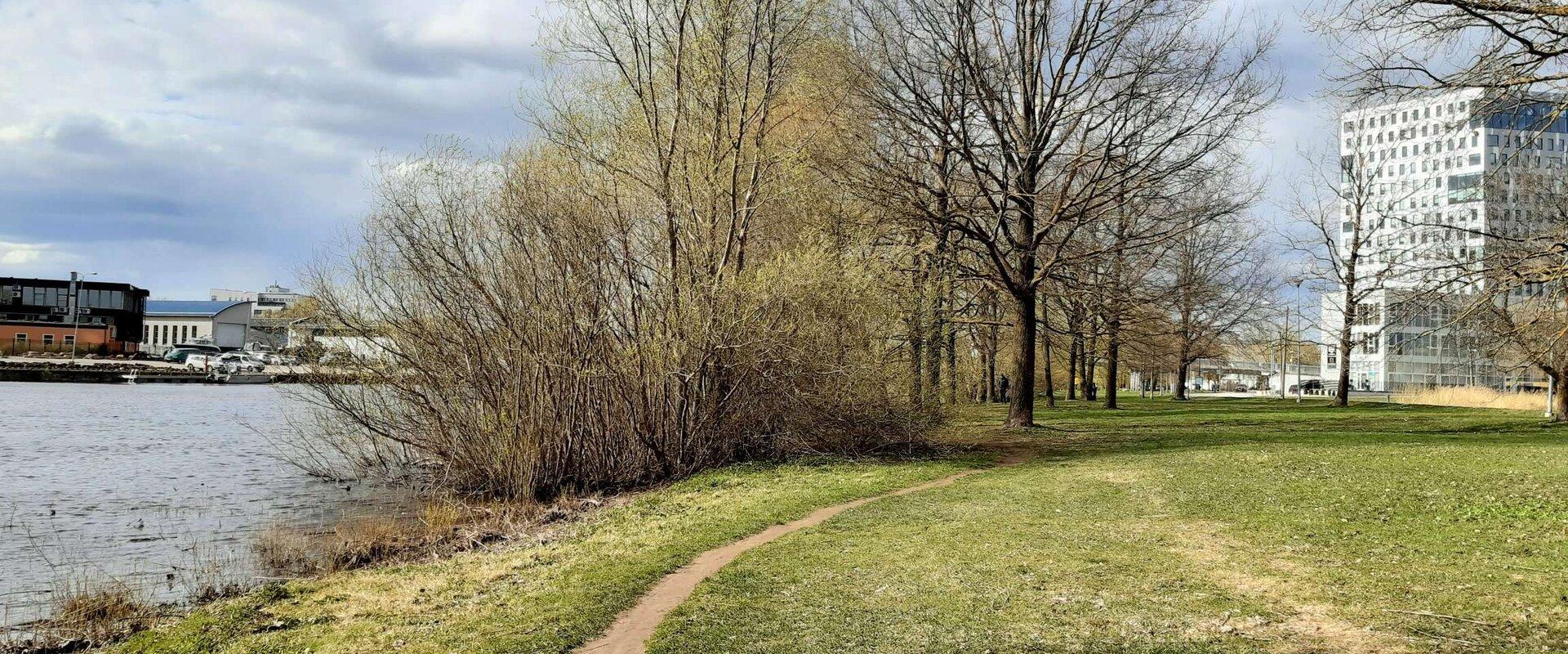
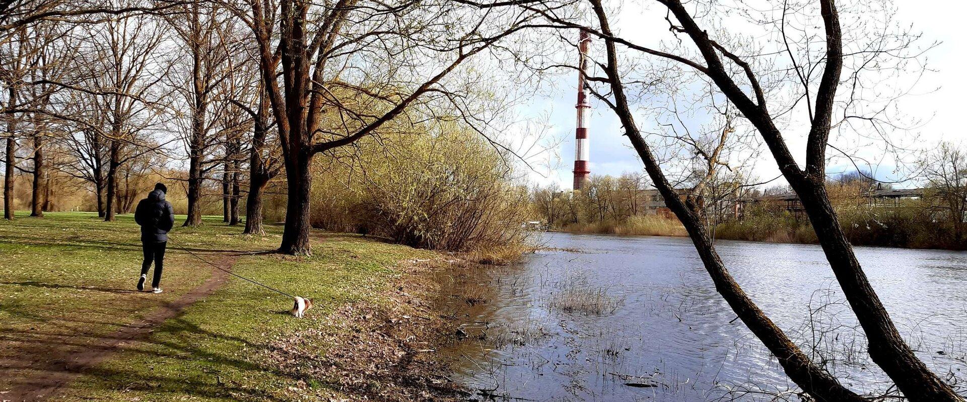
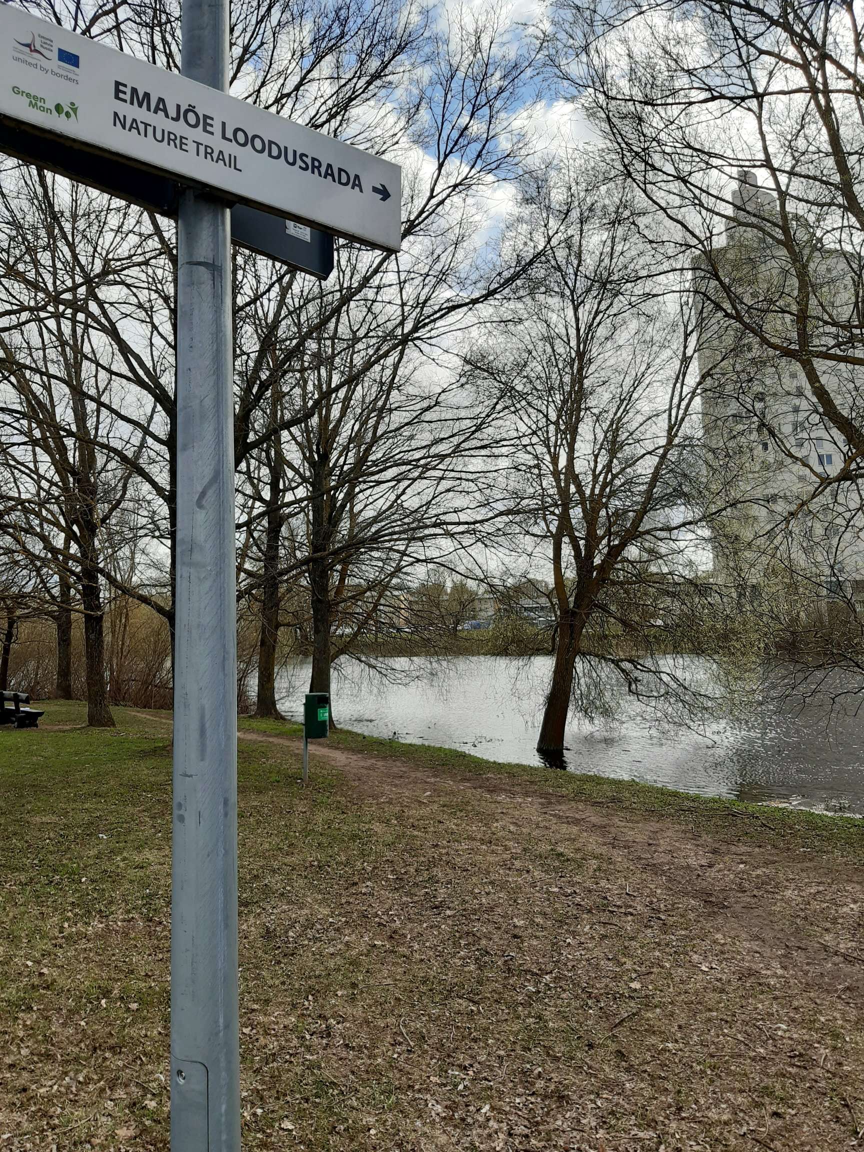
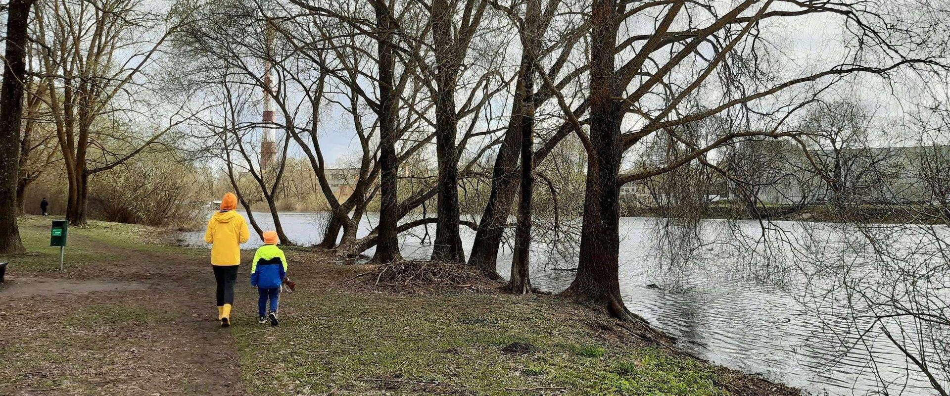
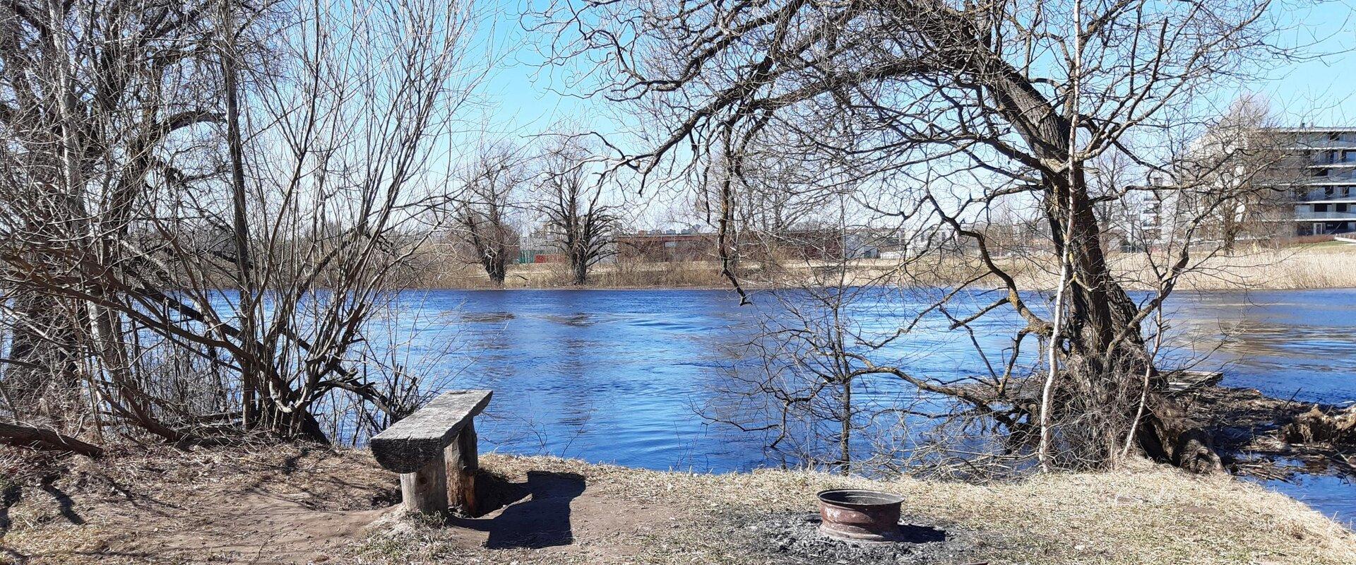
The 4-km Emajõe river shore path starts from the Turu bridge between River Emajõgi and Anne channel, and it runs on the Natura 2000 protection area and offers spacious views of the Anne channel, River Emajõgi, ship and boat traffic, and Karlova harbour.The hiking trail features information boards, riverside picnic areas, and several bridges, you can also meet hobby fishermen there. During spring, the path may be flooded and provides an opportunity to enjoy the views of the flooded meadow. When the trail ends, you can walk the same way back. Another option is to turn left to the gravel road, which leads to the Ihaste cycling and walking road.

Mugavused

  • Information boards
  • Paid parking

Часы работы

Круглый год

Ööpäevaringselt

Ссылки

Подробнее

  • Hiking Trails
  • Beaches

Lake Vaikne

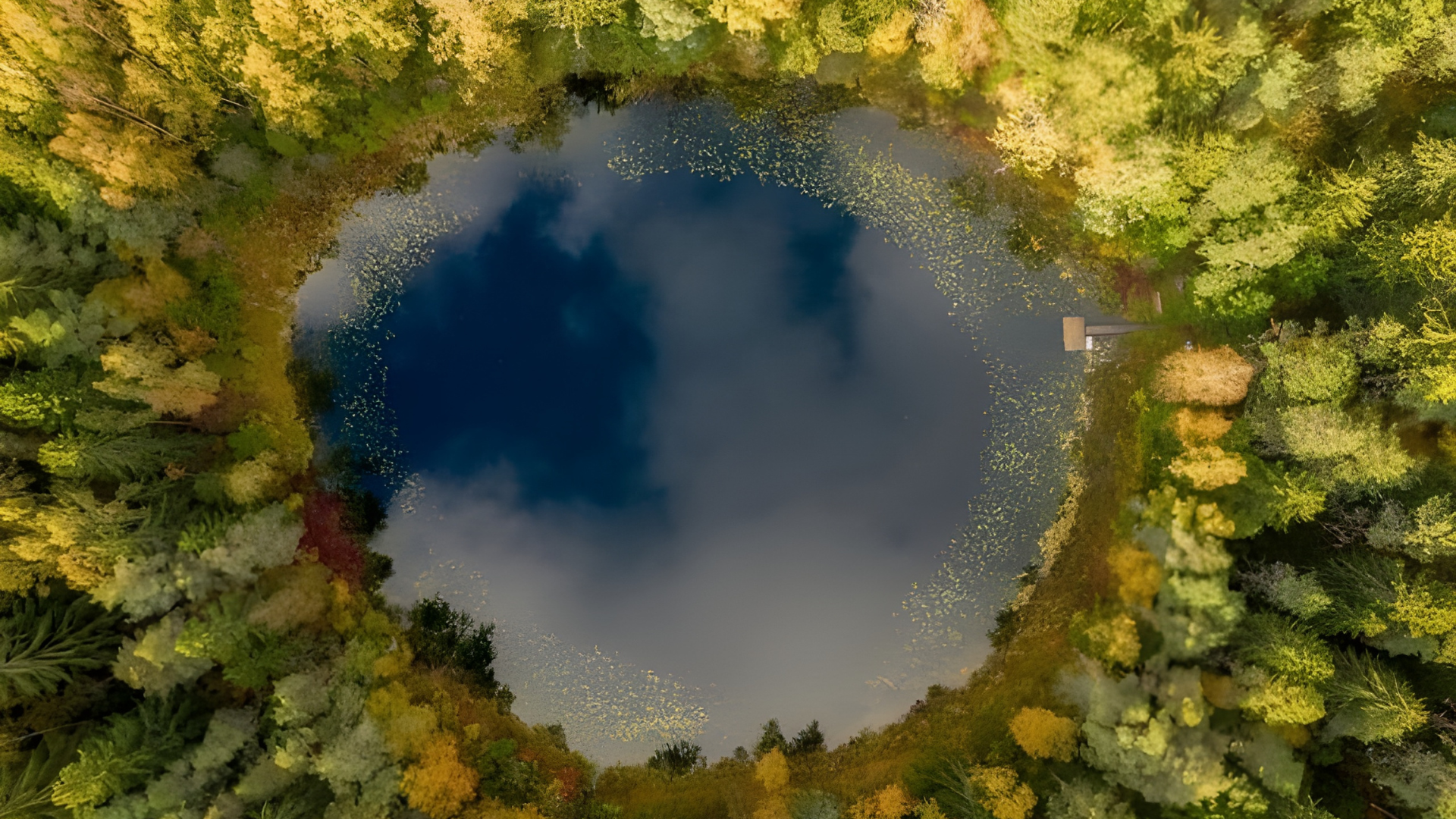
Between the forests of Elva is a mysterious body of water – Lake Vaikne. The beautiful forest lake is a sight in itself and enchants visitors with its charming nature and silence at any time of the year. The lake has also won the attention of the poet J. Kärner, who at one time often came here to gather inspiration.The place is suitable for a responsible holidaymaker who prefers less populated places and wants to have a breath-taking experience. The lake is suitable for swimming – the water is clean and very warm.Use the wooden bridge to dive into the lake!Swimming is at your own risk!The area is illustrated by the wooden sculptures of the Nature Energy Trail.

  • Lookout towers
  • Hiking Trails

Kekkonen hiking track

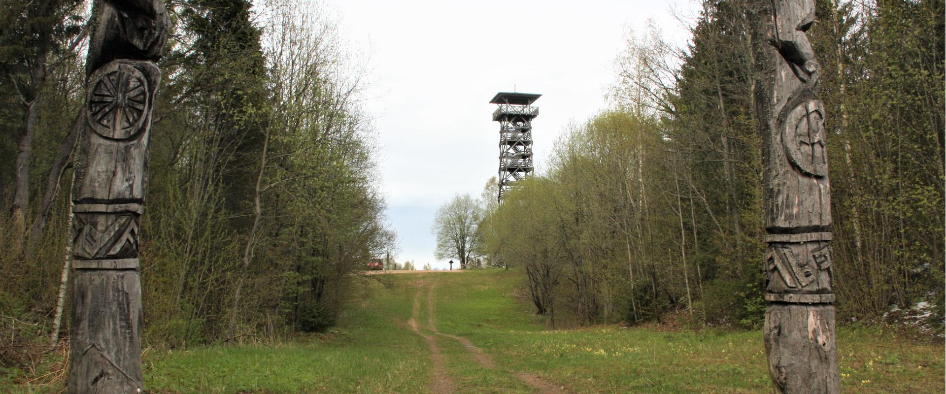
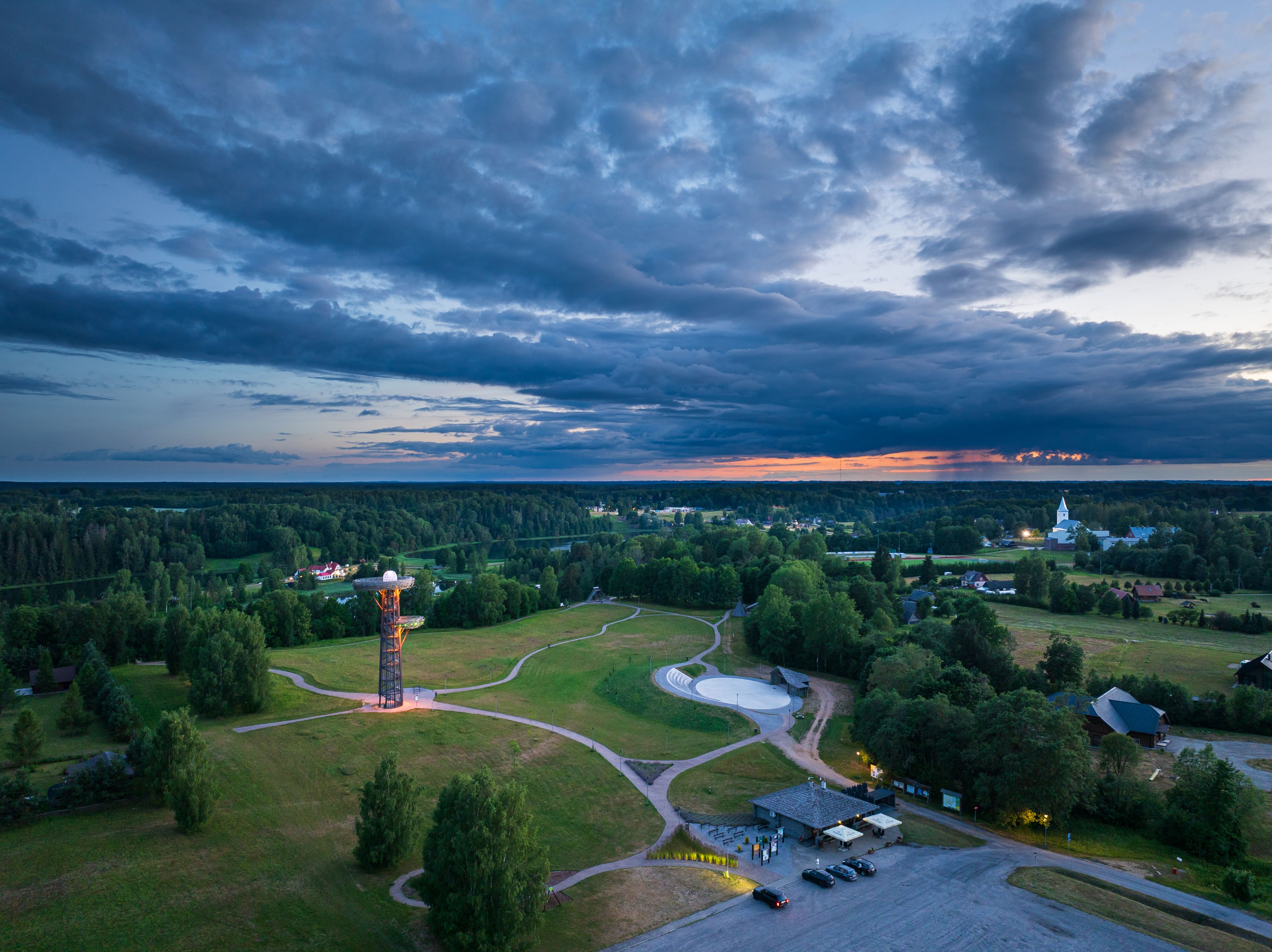
The Kekkonen hiking track can be used all year round – in summer for hiking, jogging and cycling and in winter for skiing. The track was named after former Finnish president Urho Kaleva Kekkonen, who visited Kääriku. The 15 km track starts from Kääriku stadium and passes through several spots of natural beauty, including Harimägi Hill – one of the highest points in the Otepää Highlands (211.3 m above sea level). Its viewing tower, which stands 26 metres high, is right next to the hiking track. Those with more energy can follow the additional 5 km loop on Harimägi Hill.

  • Family friendly
  • Lookout towers
  • Hiking Trails

Ööbikuorg valley and Rõuge lakes

The Rõuge primeval valley, which is 10km long and 52m deep, contains seven lakes: Kahrila Lake, Tõugjärv, Ratasjärv, Kaussjärv, Rõuge Suurjärv, Liinjärv, and Valgjärv. The lakes are connected by the Rõuge or Ajo River, which starts from the Tindi valley. The side valleys of the Rõuge primeval valley are Tindi, Külm, Mõhk, Ööbikuorg, Tinopeetri, Hinni, Sikasoo, and Järveotsa valleys. The most famous of these is Ööbikuorg, which borders the ancient hillfort from the north. In spring, during the blossoming of bird cherry trees, the valley resonates with the song of nightingales – hence the name of the valley. Several hiking trails run through Rõuge, including the popular Ööbikuorg hiking trail, which takes visitors through the primeval valley, past lakes and springs. The trail is suitable for families with children and is partially accessible by bicycle. In summer, you can swim and paddle in the lakes, while in winter, the same trails are enjoyed by skiers and sledders. In the Rõuge settlement, there is also Estonia's deepest lake – Rõuge Suurjärv (38m) – and the largest Nature Clock in Estonia, whose hands mark the passage of time in nature's rhythm.Good to know: At the edge of Ööbikuorg, there is a visitor center and the Pesapuu observation tower, which offers a view of the entire valley.
  • Hiking Trails

Wood Ants’ Trail of Kiidjärve

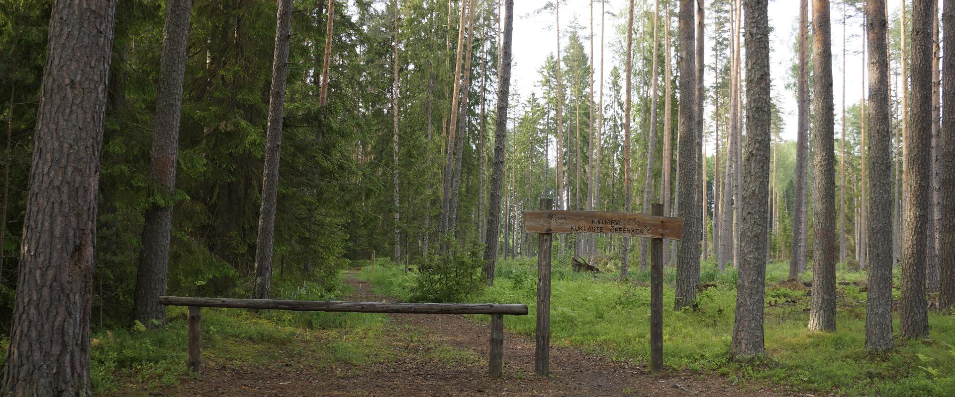
Among the approximately 1 km study trail introducing the life of wood ants, the hiker can feel like a giant in the minuscule world of ants. In an area of 20 hectares there are 200 ant hills, the biggest of which is 1.7 m high; you can also admire the record-high spruce (42 m). The trail has signs, information boards, and bridges crossing ant highways.The trail is for walking only. While hiking on the trail near ant hills, use only the bridges installed there. The Laari forest study trail starts on the other side of the railway.The civilisation of ants offers an experience for both children and adults.

  • Hiking Trails

Selli-Sillaotsa study trail

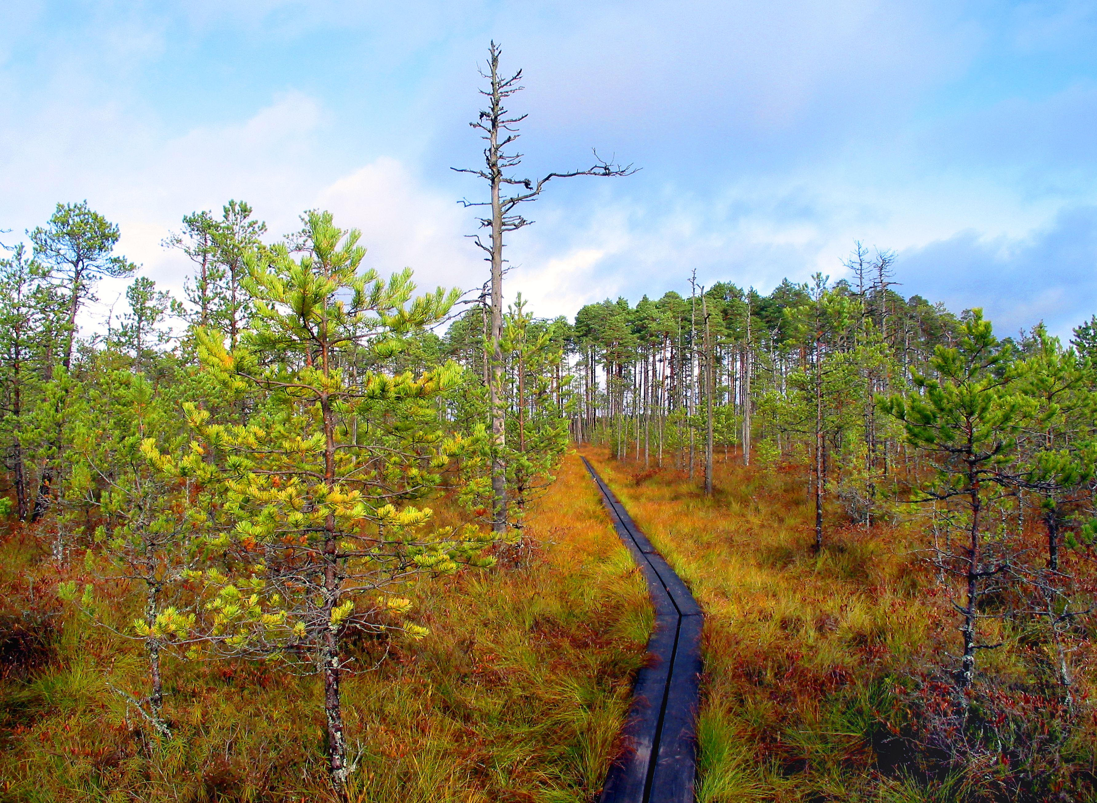
If you want a break from the hustle and bustle of the city, head to the beautiful, untouched nature of the Selli-Sillaotsa educational trail. Trail is located in the Alam-Pedja nature reserve, 30 minutes by car from Tartu. The well-marked trail, winding over a bog, through the forest, and on a gravel road, with plenty of information boards, is flat and easy to navigate. From the 12 m high Suuretüki observation tower built of massive logs, you can enjoy beautiful views of the bog in any season! If you find yourself on the trail at the right time of year, you can treat yourself to edible berries, such as blueberries, blackberries, and cranberries.

  • Hiking Trails

Taagepera hiking trail

The total length of Taagepera hiking trail is 5.4 km. The trail begins and ends at the Taagepera campfire site and partly runs along the shores of the Õhne River. The trail can also be completed in smaller circles – 1.6 km and 4.0 km long. There are wooden signposts and information boards at the hiking trail, capfire site is suitable also for camping.The main sights of the hiking trail include the Taagepera Castle with the Castle Park, Taagepera Church and the Cemetery, the graveyard of barons, the Musukivi rock, the sacrificial stone, the underground cemetery, and the Õhne River.A truly inspiring hike full of history, architecture, and ancient nature!

  • Hiking Trails

Apteekrimäe forest trail

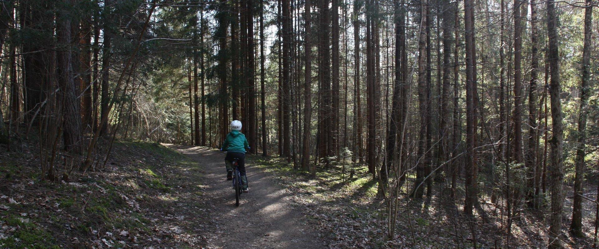
Apteekrimäe forest track starts and ends by Otepää Sports Hall on Mäe Street. The 4 km track runs through the forest to Nüpli Sports Track and then back to the Apteekri forest, where it meets the forest path between Lake Marguse and Otepää Garden Town before returning to its starting point after crossing the Sulaoja bridge. The track can be used all year round.

  • Hiking Trails

Järvselja Primeval Forest Nature Study Trail

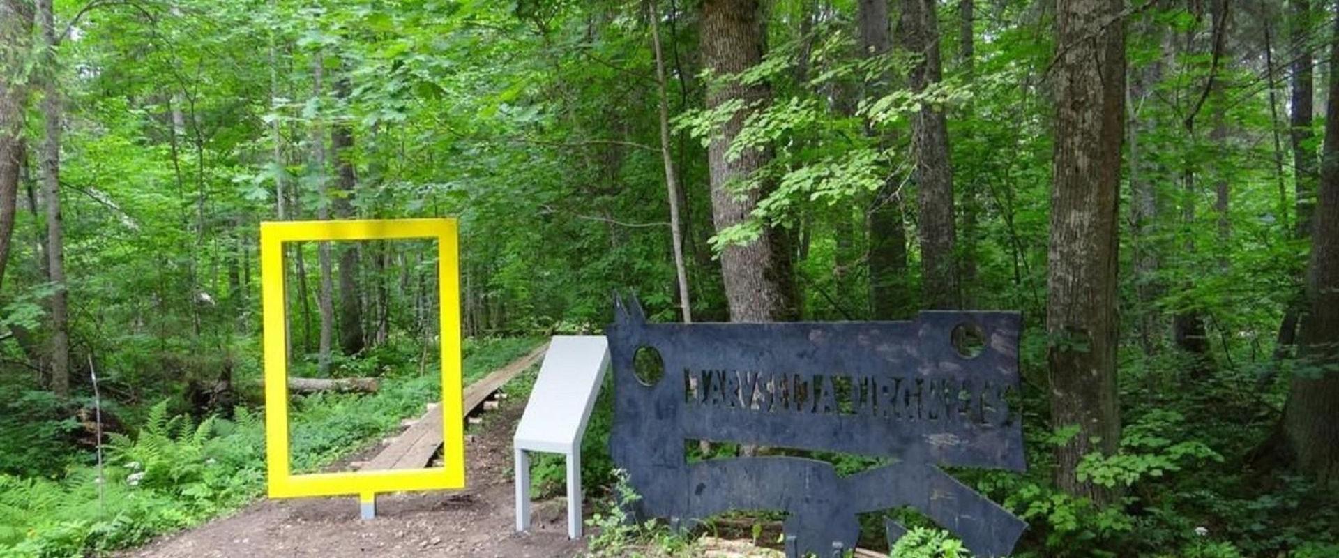
Järvselja nature study trail introduces the forest surrounding the centre of forestry and research. The trail is diverse and passes through a number of forests. Here, you will see the King’s pine (Kuningamänd), which is over 380 years old, as well as spruces that are more than 40 meters high – making them one of the highest trees in Estonia.The trail runs partly on a boardwalk and the route is 1–5 km long. A good starting point is either the Järvselja Hunting Lodge or the guest house, where there are information boards with a map of the trails.Järvselja study trail and the primeval forest represent one of the best locations to discover in Southern Estonia, marked with the yellow frame of National Geographic.

  • Privacy Policy

"*"обозначает обязательные поля

Это поле используется для проверочных целей, его следует оставить без изменений.
Я разрешаю маркетинг