• Explore
    • Nature
    • Culture
    • Food
    • Family
    • Activity
    • Blog
    Smoke sauna
    Weather and seasons
  • Plan
    • Accommodation
    • How to get here
    • Weather and seasons
    • Sustainability
    • Tourist info
    Discover South Estonia’s Most Beautiful Manors and Castles
    Top 20 Sights in South Estonia
  • For professionals
    • For professionals
    • Collaboration
    • News
    • Projects
    • Training
    • Repository
    • Community (opens in new tab)
    • Contacts
ENG
  • EnglishENG
  • EestiEST
  • LatviešuLAT
  • РусскийRUS
  • SuomiFIN
ENG
  • EnglishENG
  • EestiEST
  • LatviešuLAT
  • РусскийRUS
  • SuomiFIN
Popular searches:
Show all
  • Nature and Activities
  • Nature
  • Hiking Trails

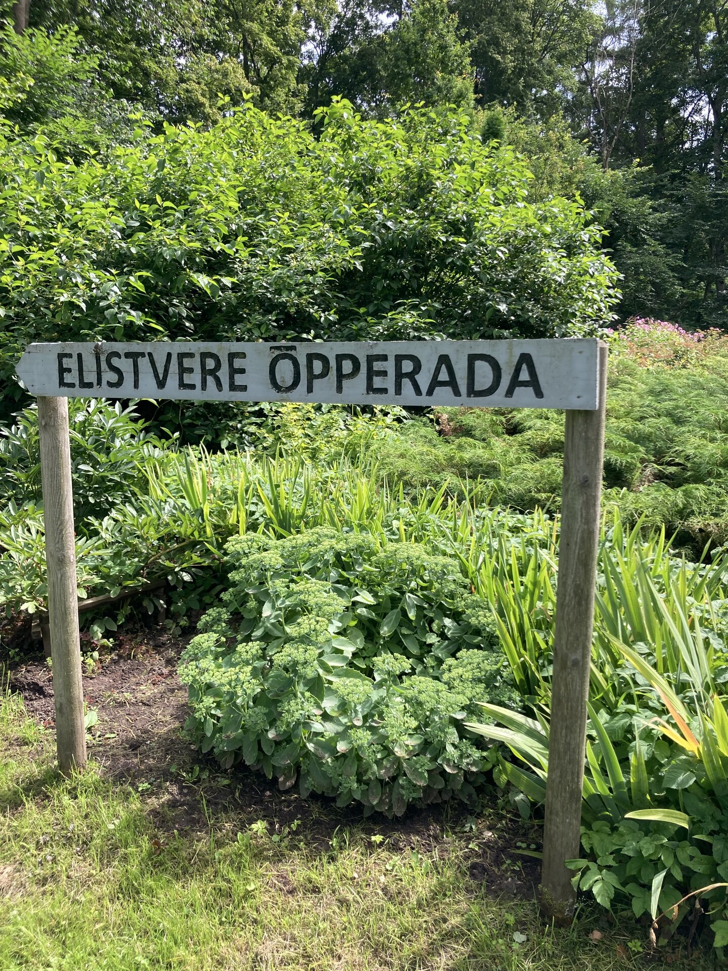
Elistvere study trail

Tartu vald, Tartu maakond, 49103

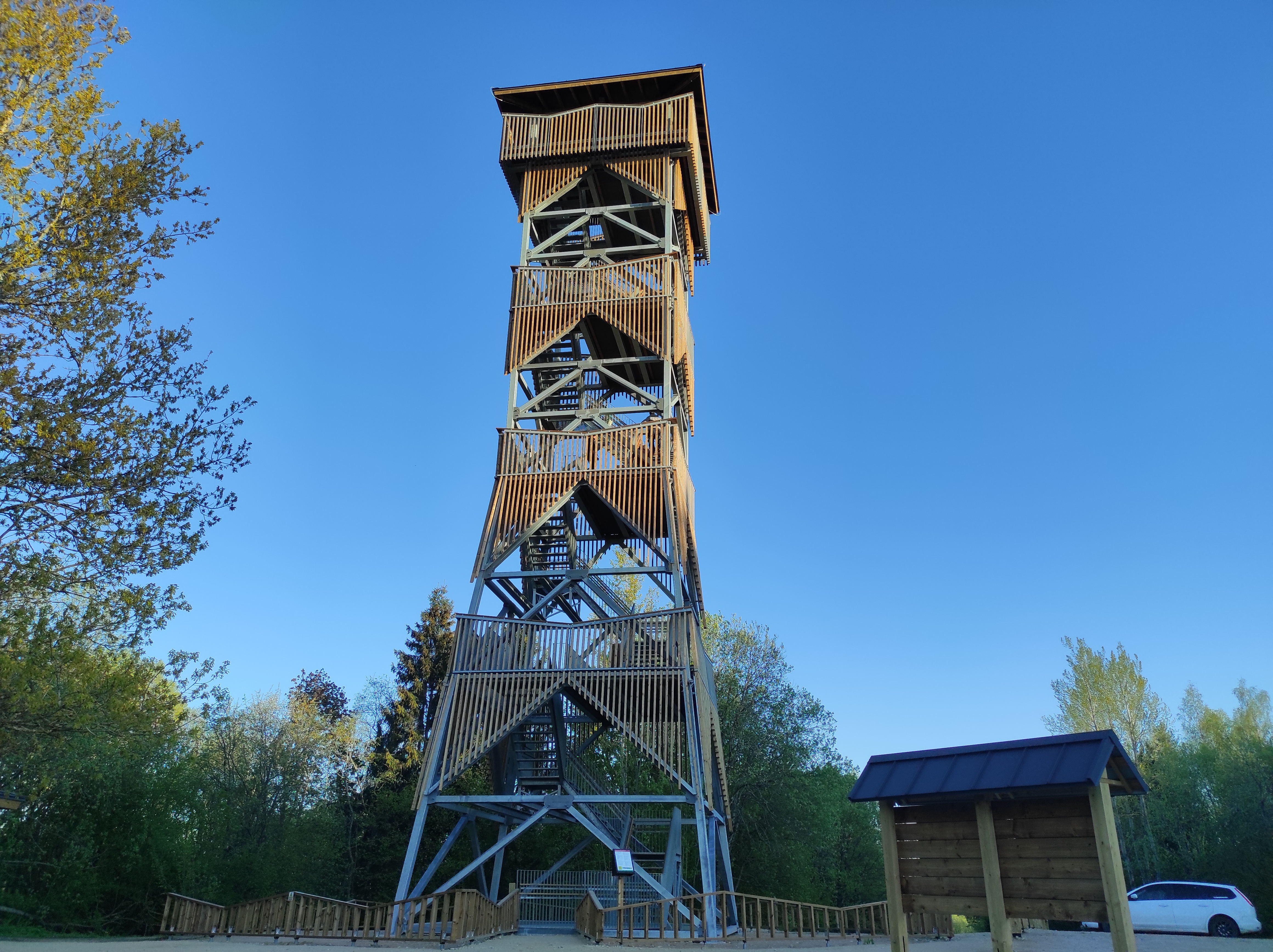
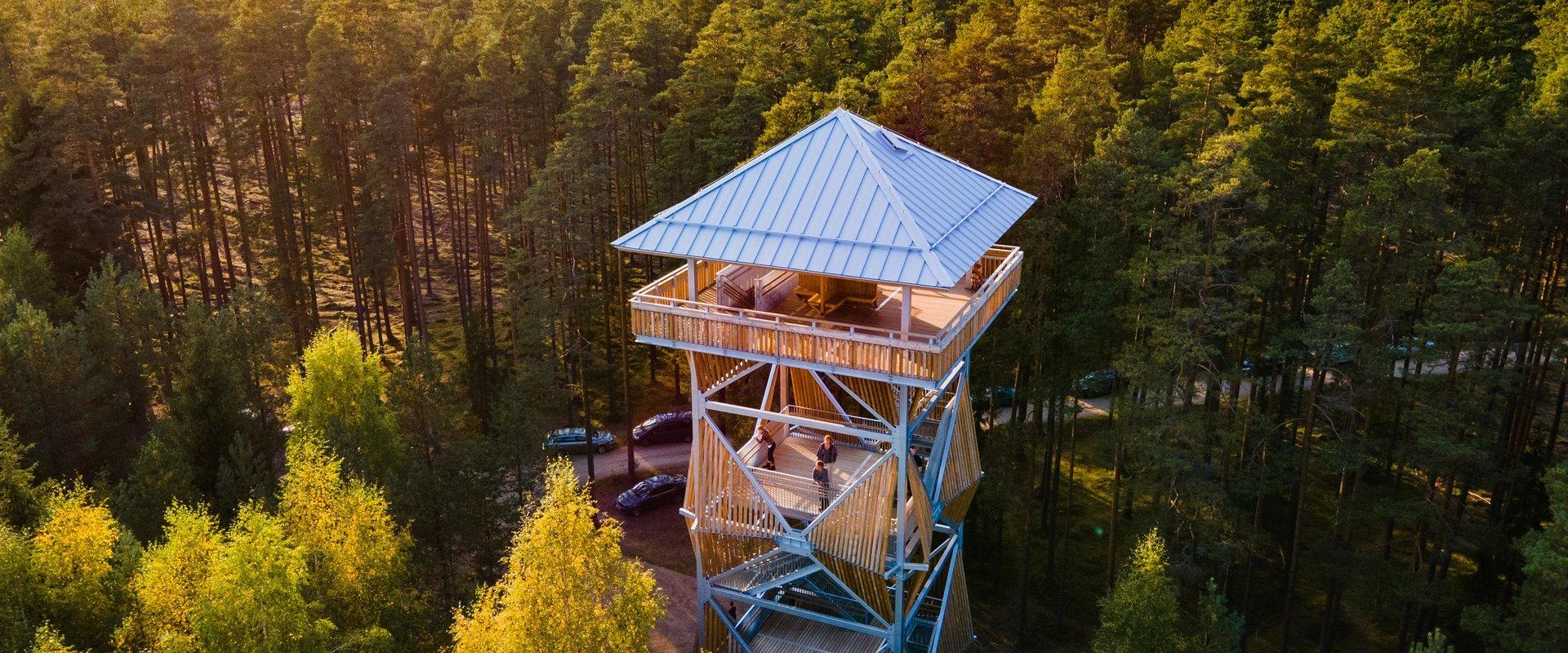
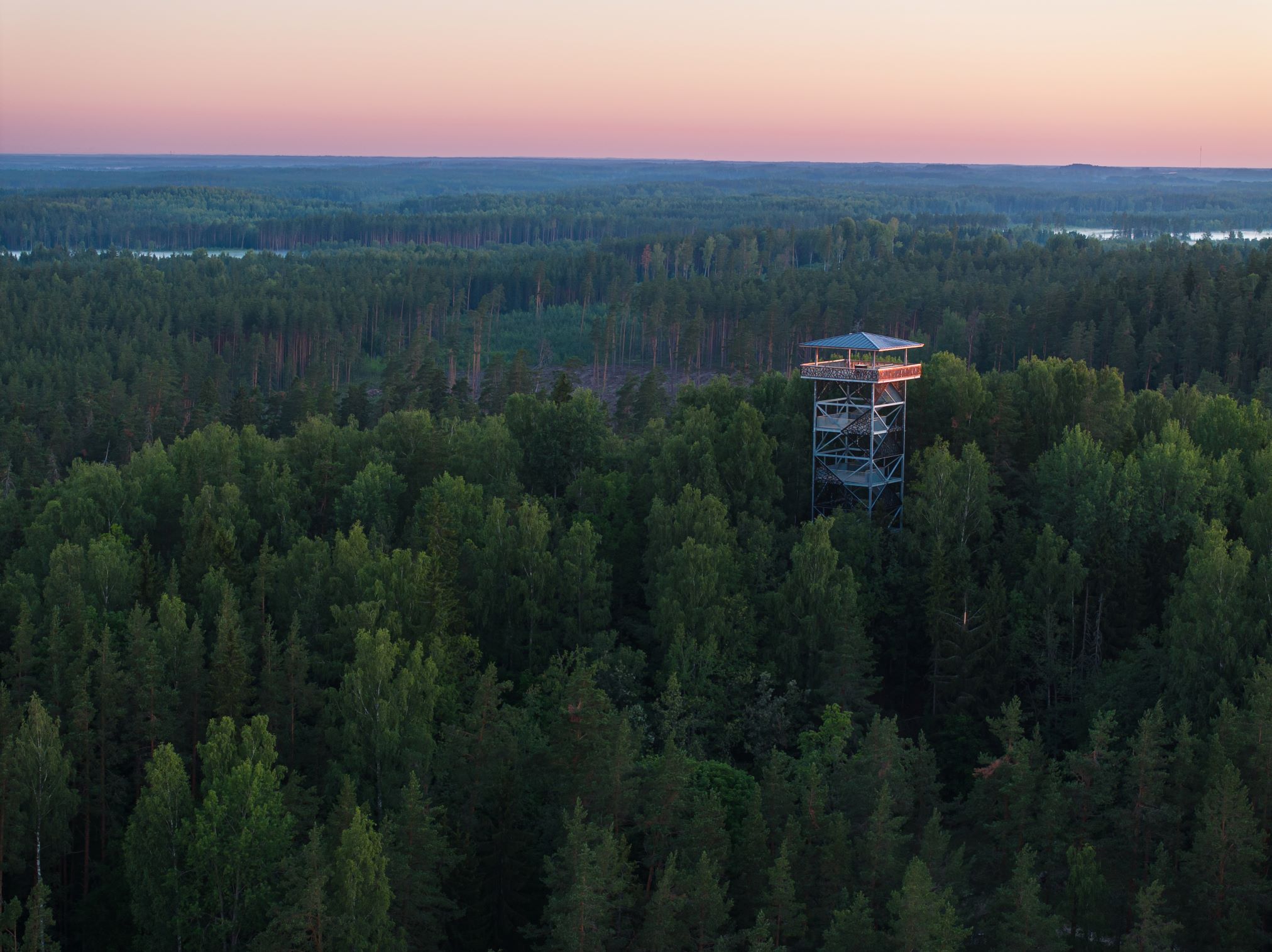
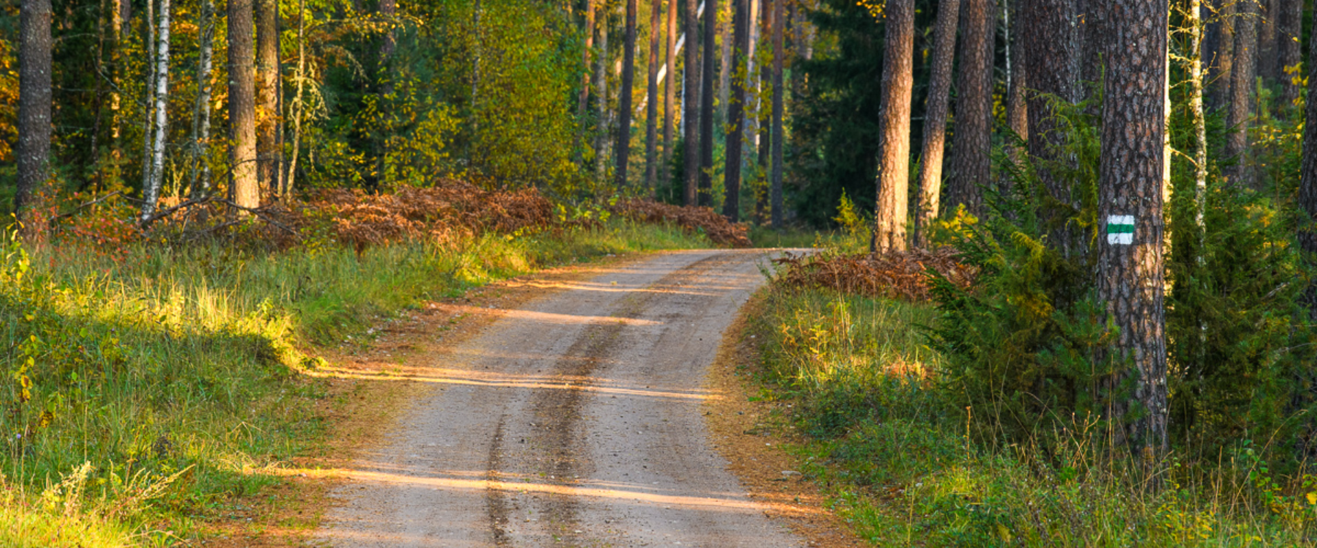
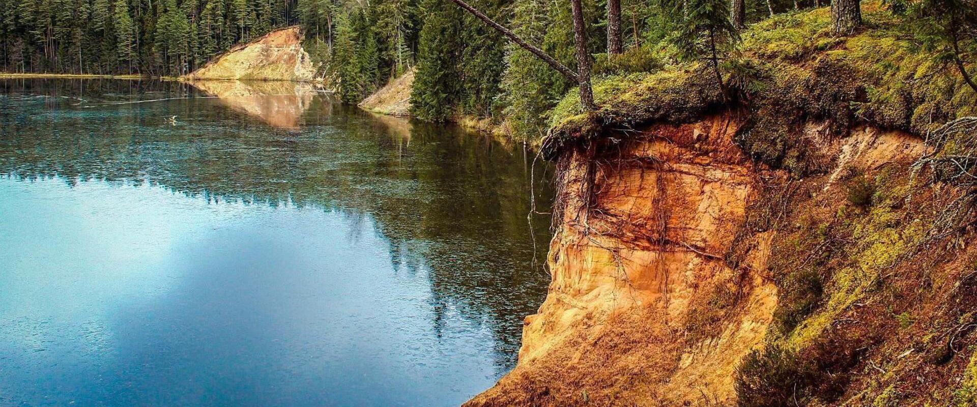
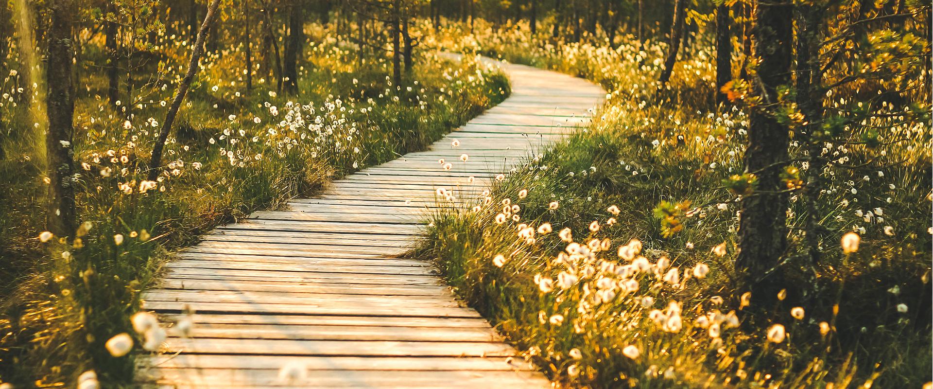
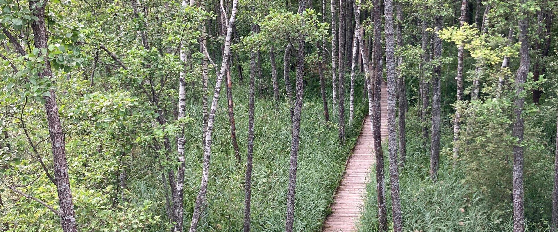
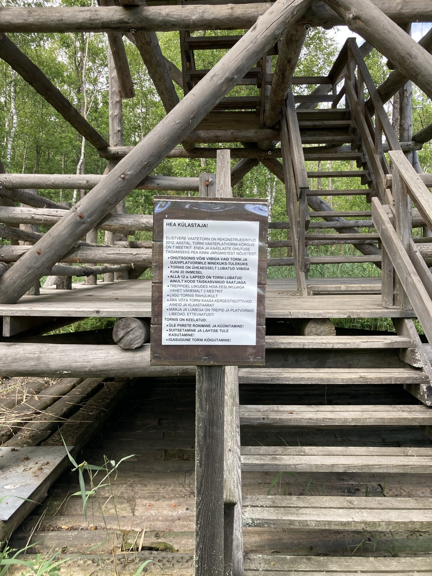
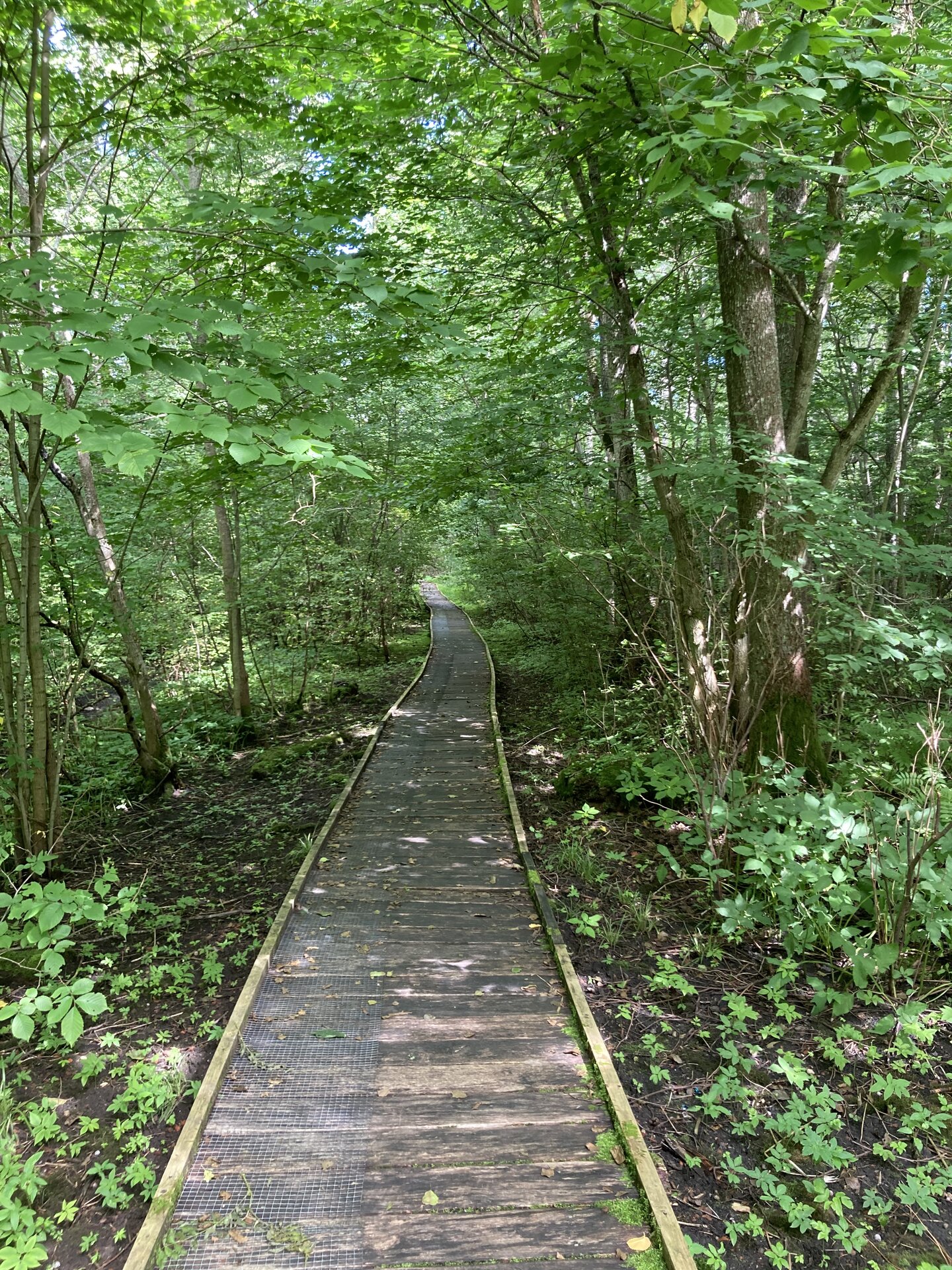
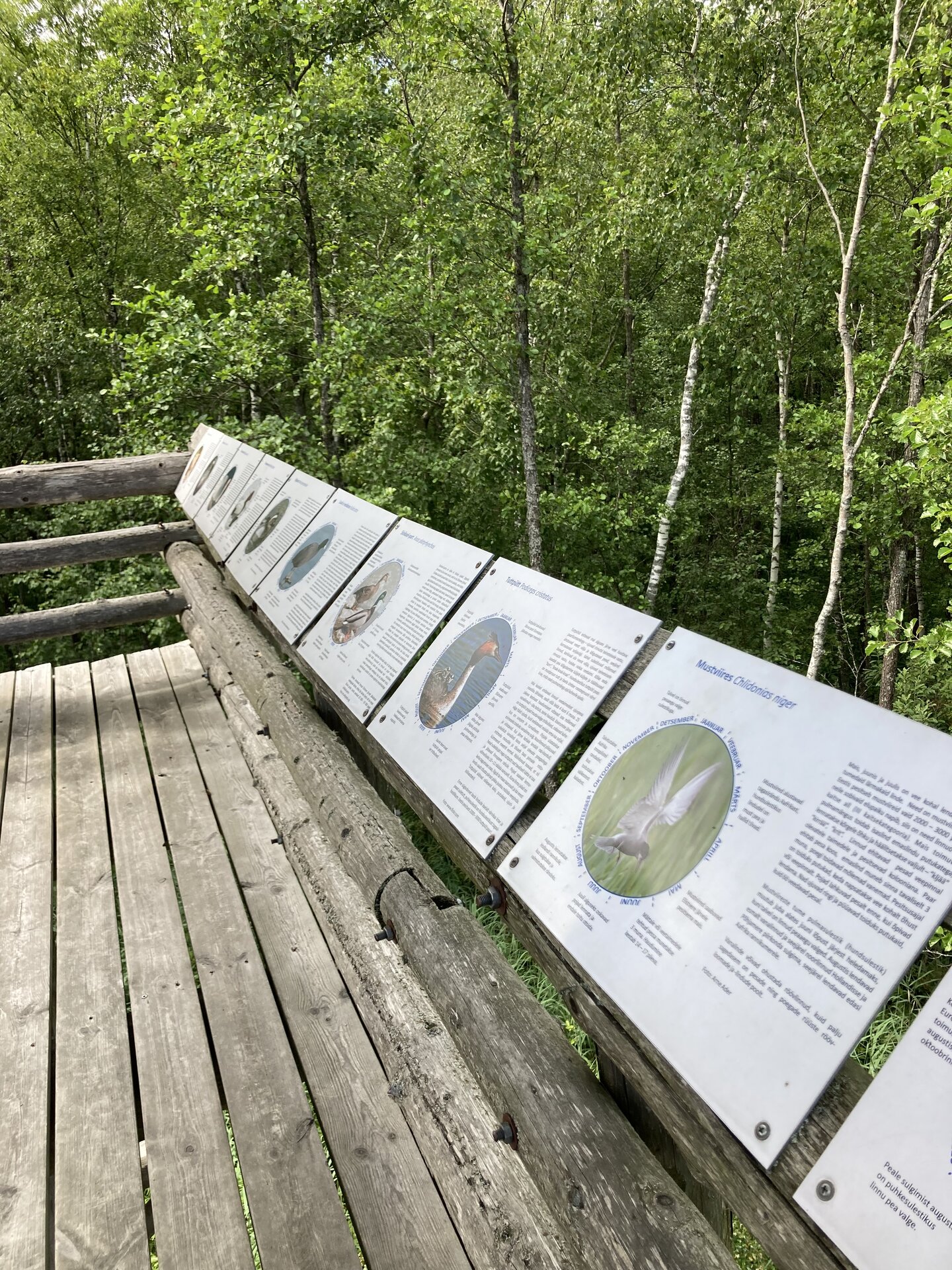
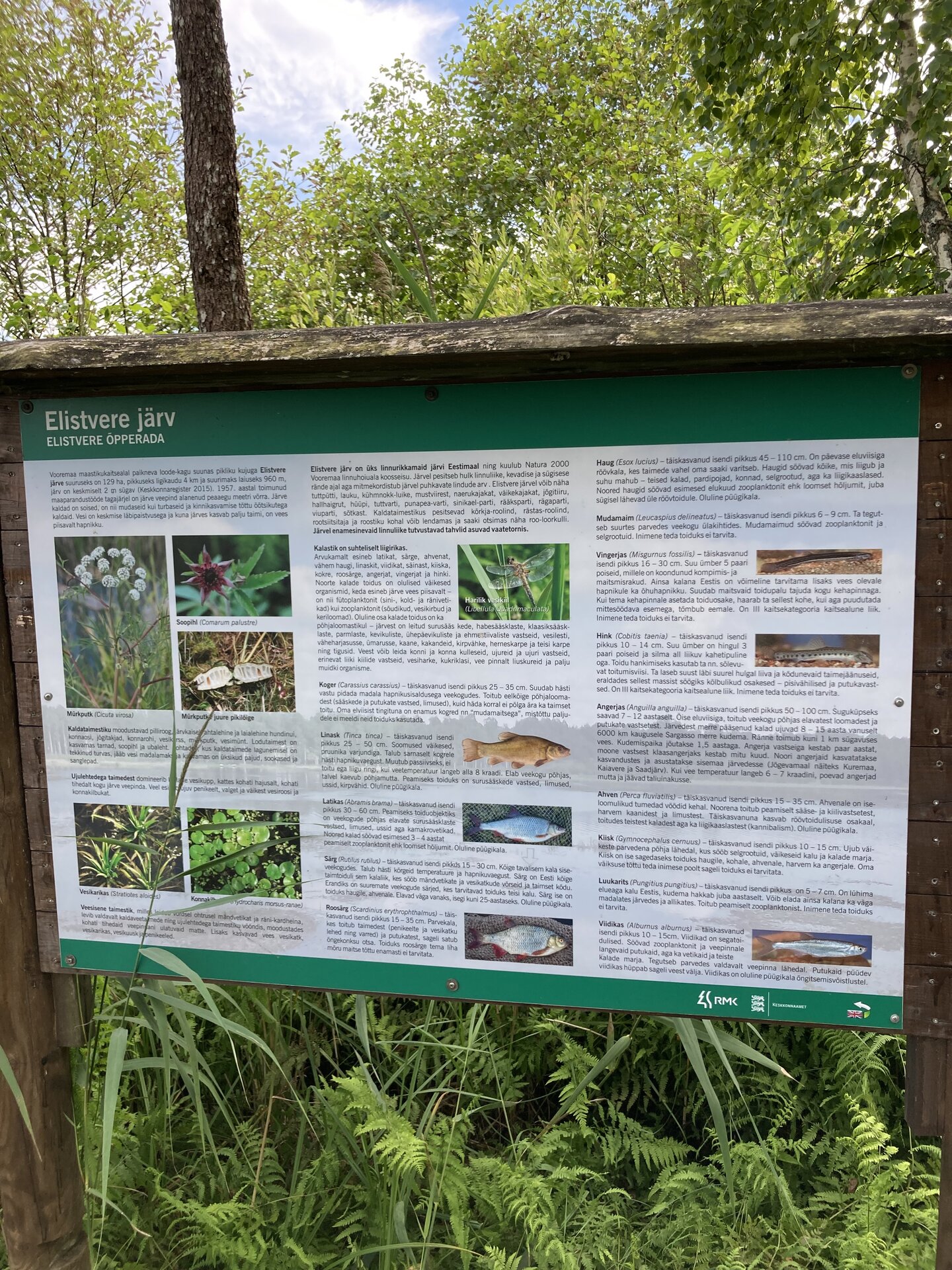
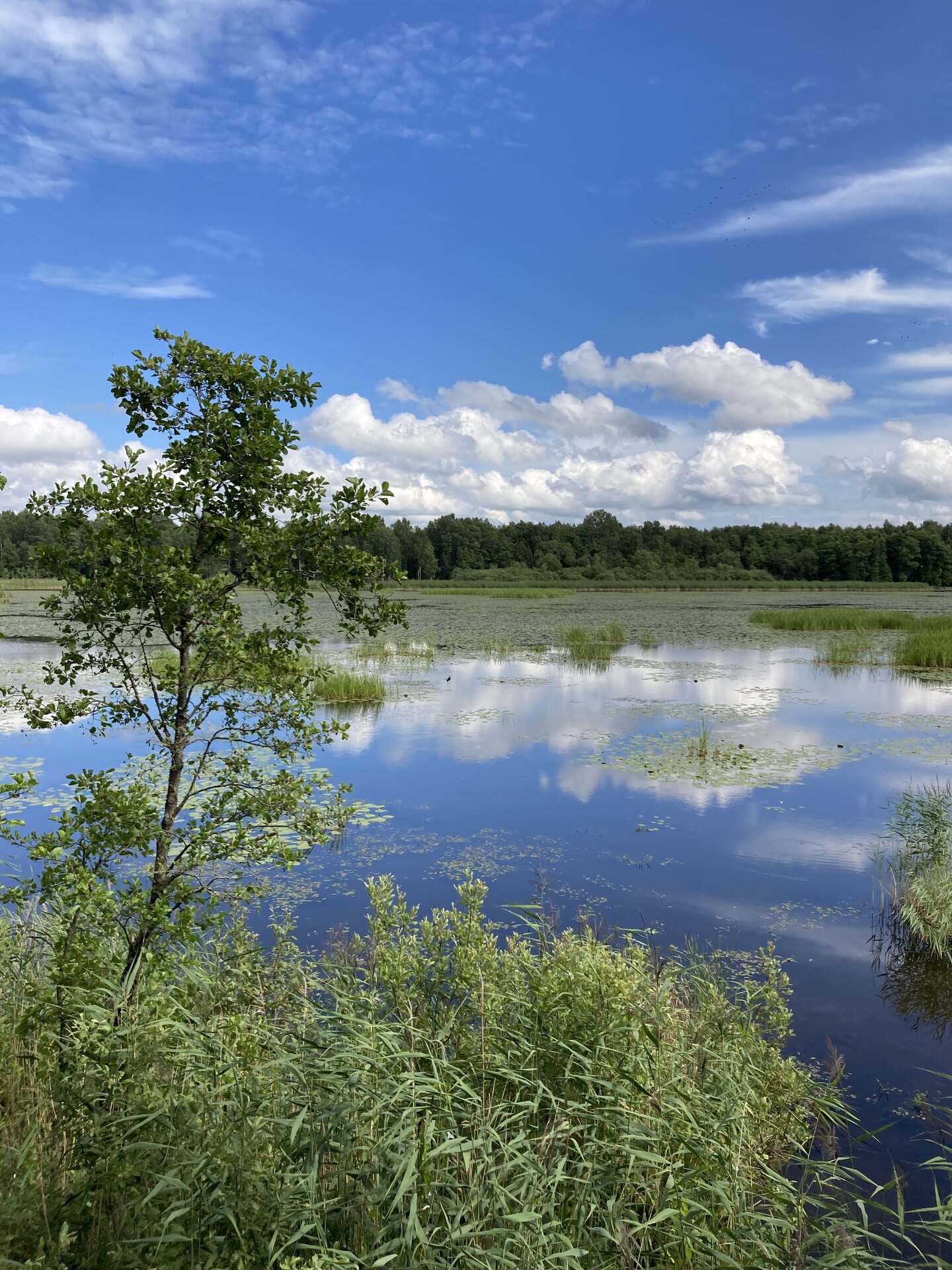
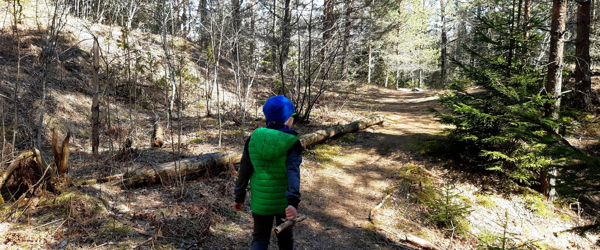
Elistvere study trail is located in Elistvere village, Tartu County. The trail is 2 km long back and forth and starts at the Elistvere Animal Park. At the end of the study trail you will find the magical Lake Elistvere with an observation tower offering a great view to the flora surrounding the lake and animals running in the bushy greenery. The information boards at the road help the visitors and there are several observation platforms. The trail can be completed in a wheelchair and with a children’s stroller as well.The study trail can be accessed only during the opening hours of the animal park. The animal park has an entrance fee.

Amenities

  • Information boards
  • WC
  • Free parking

Open times

1. veebr - 31. mai

E-P10:00 - 17:00

1. sept - 31. okt

E-P10:00 - 17:00

1. nov - 31. jaan

E-P10:00 - 15:00

1. juuni - 31. aug

E-P10:00 - 20:00

Contact

  • +372 676 7030
  • info.elistvere@rmk.ee

Links

rmk.ee

See more

  • Hiking Trails

Taagepera hiking trail

The total length of Taagepera hiking trail is 5.4 km. The trail begins and ends at the Taagepera campfire site and partly runs along the shores of the Õhne River. The trail can also be completed in smaller circles – 1.6 km and 4.0 km long. There are wooden signposts and information boards at the hiking trail, capfire site is suitable also for camping.The main sights of the hiking trail include the Taagepera Castle with the Castle Park, Taagepera Church and the Cemetery, the graveyard of barons, the Musukivi rock, the sacrificial stone, the underground cemetery, and the Õhne River.A truly inspiring hike full of history, architecture, and ancient nature!

  • Camping sites
  • Hiking Trails
  • Beaches

Palumägede hiking trail and campfire site

The Palumägede hiking trail is situated near Lake Pangodi, within the picturesque Pangodi Landscape Reserve, and is an ideal destination for nature lovers seeking an active holiday experience. The hiking trail offers diverse landscapes with pleasantly alternating ups and downs, adding a little excitement to the hike. The starting point of the hiking trail is conveniently located at the second parking lot of Palumägede, where you will also find an information board that gives a good overview of the surrounding nature. Clear signposts and benches along the trail make the walk particularly comfortable. The Palumägede campfire site offers a space for grilling, swimming, and camping.

  • Lookout towers
  • Hiking Trails

Harimägi and Harimäe Observation Tower

Harimägi is one of the largest mesas in the Otepää Uplands (211 m above sea level). It is worth coming to Harimäe whenever you are near Otepää. The Harimäe Observation Tower is located 3 km from Kääriku in the direction of Sangaste. The height of the tower is 28 m, and the highest viewing platform is 24 m high. The tower offers views of the Otepää mountains and across the Väike Emajõgi valley to the Karula upland. Camping is also allowed at the tower. Good to know: Harimägi is also called 'Leenard and Leonhard's hill.' From 1816 to 1819, geodetic surveys were carried out here by the internationally recognised astronomer and surveyor Friedrich Georg Wilhelm Struwe (1793–1864).

  • Lookout towers
  • Hiking Trails
  • Birdwatching

Valgesoo watchtower

The Valgesoo watchtower is located in the Valgesoo bog, which represents one of the 21 places worth discovering in South Estonia and is recommended for all nature enthusiasts.With its eye-catching design, the watchtower overlooks the Valgesoo bog, the pristine-looking primeval forest, and the Baron's pine forest (Parunimännik) and the study trail that runs through it. The 29.7 m high metal watchtower has three intermediate platforms, the last of which is 23.8 m high, with a wind screen and seat benches in the centre. The State Forest Management Centre's campfire site and camping area for up to five tents are nearby.

  • Camping sites
  • Lookout towers
  • Hiking Trails

Tellingumäe observation tower and recreational area

Tellingumäe's 25-meter-high observation tower offers a beautiful view of the winding Mustjõgi gorges and the hilly landscape typical of South Estonia. Latvia can be seen in the distance, as nearby the Mustjõe River joins the Koiva (Gauja) River on the Estonian-Latvian border. Tellingumäe observation tower is a great place to observe nature and birds. Several rare bird species can be found here. The tower has an RMK campfire site and marked cycling and hiking trails of different lengths, like the Estonian-Latvian joint cultural heritage trail and the Koiva Cycling Trail.

  • Lookout towers
  • Hiking Trails

Estonian-Latvian joint cultural heritage trail

An exciting hiking trail runs along the banks of the Koiva River, which borders Estonia and Latvia. You can discover points important to both countries' cultural heritage along the trail! The trail is 22 kilometers long, so there and back comes to 44 kilometers. The trail introduces old Estonians' way of life and offers the opportunity to get acquainted with historical heritage in the middle of nature. The trail includes, for example, Taheva Manor, a windmill, the ruins of a hay barn, and ancient trees. There are several campfire sites and camping sites. The trail is signposted and equipped with information boards in Estonian, Latvian, and English, and it can also be completed by bike.

  • Hiking Trails

RMK Kiidjärve–Taevaskoja–Kiidjärve hiking trail

The hiking trail starting from Kiidjärve Visitor Centre runs along the banks of the picturesque Ahja River, where you can easily see different sandstone banks (Sõnajalamägi, Palanumägi, Oosemägi, Laaritsamägi, Mõsumägi, etc.). The trail runs along one shore to the Saesaare dam, over the bridge, and back along the other shore. The trail passes through Sõnajala campfire site, where you can pitch a tent. The trail also passes through the Roiupalu study trail campfire site.A map of the hiking trail can be obtained from the RMK Kiidjärve Visitor Centre.At times, the hiking trail runs along high shorelines and there are steep ascents. Please be careful!

  • Lookout towers
  • Hiking Trails

Valgesoo study trail

The study trail is well-suited for getting acquainted with the development and vegetation of bogs and for observing pine cultures. A 1.8 km long circular study trail revolves around the Valgesoo bog. On the she study trail you can explore the bog vegetation, old pine plantation ("Baron's pine forest"), and a forest edge rich of Scottish wood ants. The whole trail is accessible by a wheelchair or stroller. To facilitate movement on the track, there is a track map and colour markings on the trees. There is an observation tower and a campfire site at the start of the study trail.Valgesoo bog is one of the 21 places worth discovering in Southern Estonia, which is suggested to be visited for those who are interested in nature.

  • Collaboration
  • News
  • Contacts
  • Privacy Policy
Join our mailing list!

"*" indicates required fields

This field is for validation purposes and should be left unchanged.
I authorise marketing

South Estonia Tourism Cluster

info@visitsouthestonia.com