• Explore
    • Nature
    • Culture
    • Food
    • Family
    • Activity
    • Blog
    Smoke sauna
    Weather and seasons
  • Plan
    • Accommodation
    • How to get here
    • Weather and seasons
    • Sustainability
    • Tourist info
    Discover South Estonia’s Most Beautiful Manors and Castles
    Top 20 Sights in South Estonia
  • For professionals
    • For professionals
    • Collaboration
    • News
    • Projects
    • Training
    • Repository
    • Community (opens in new tab)
    • Contacts
ENG
  • EnglishENG
  • EestiEST
  • LatviešuLAT
  • РусскийRUS
  • SuomiFIN
ENG
  • EnglishENG
  • EestiEST
  • LatviešuLAT
  • РусскийRUS
  • SuomiFIN
Popular searches:
Show all
  • Nature and Activities
  • Nature
  • Hiking Trails

Selli-Sillaotsa study trail

Alam-Pedja looduskaitseala 94, Tartu vald, Tartu maakond, 60605

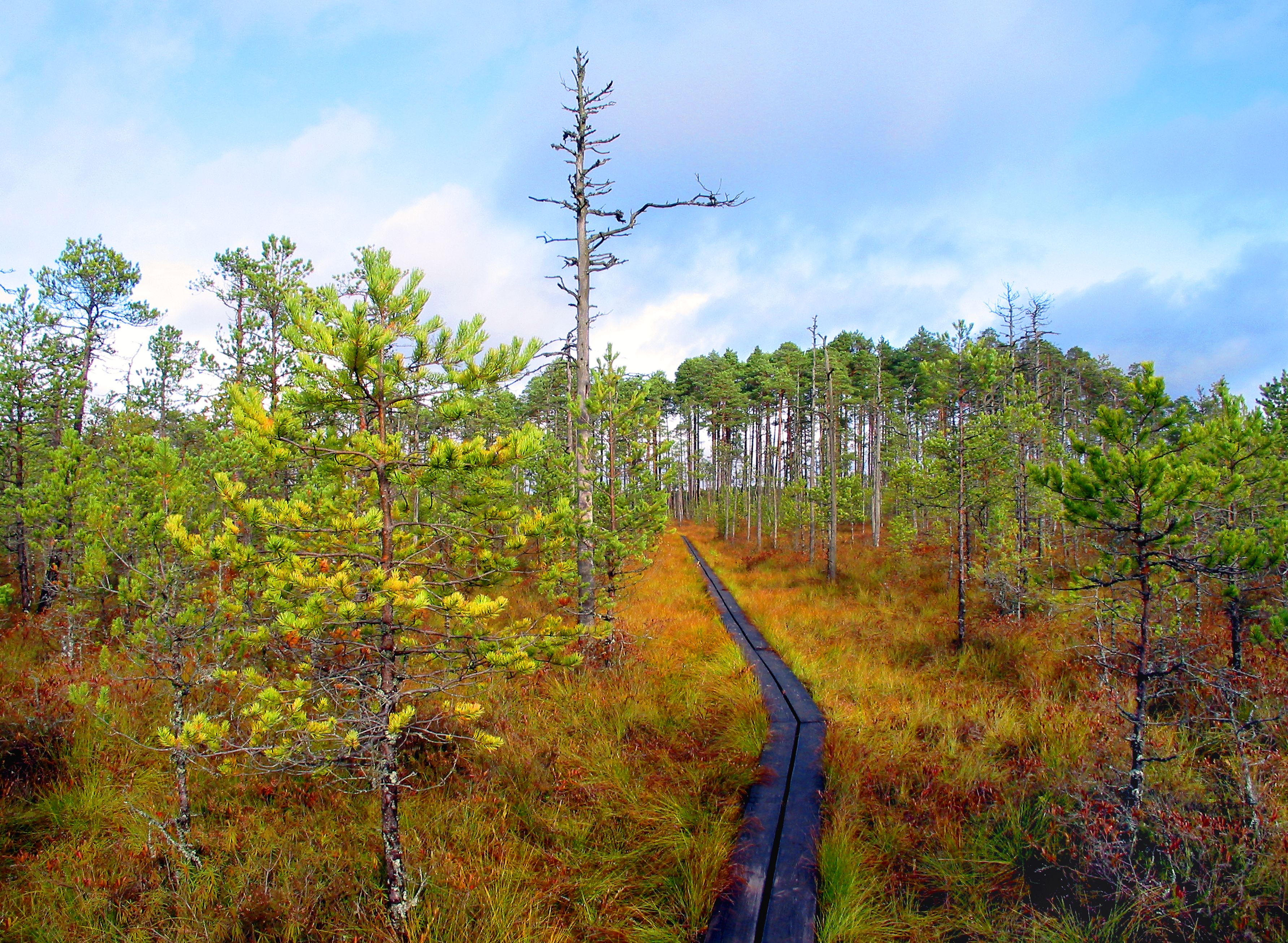
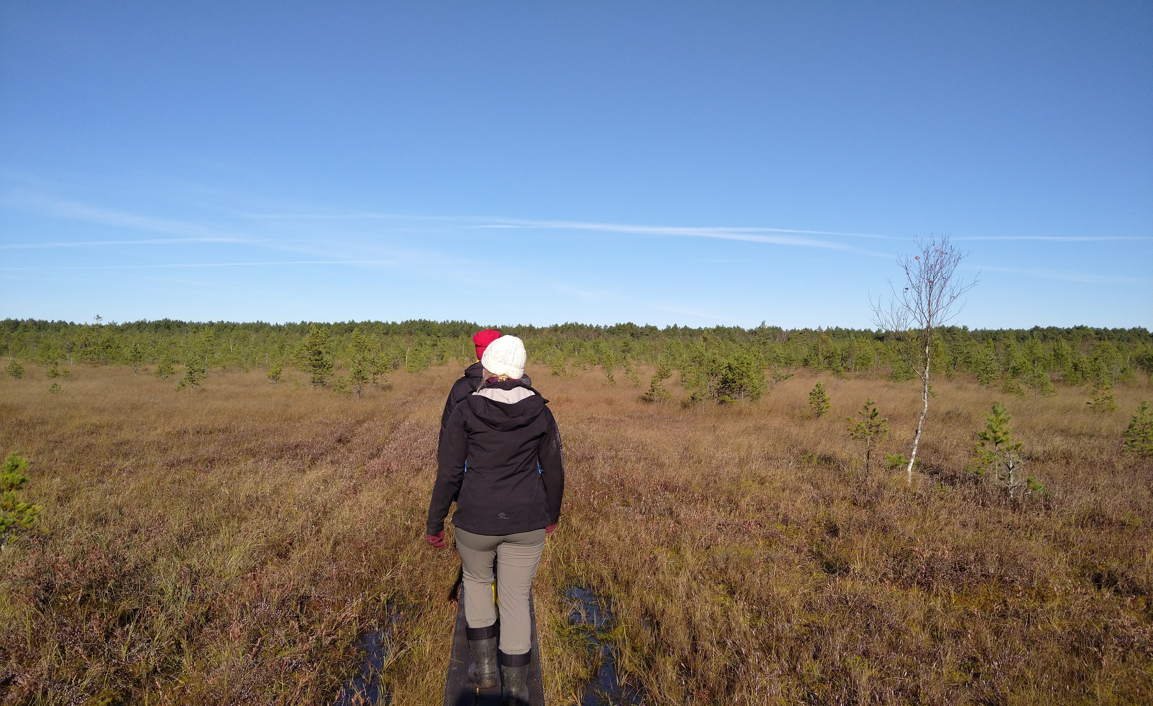
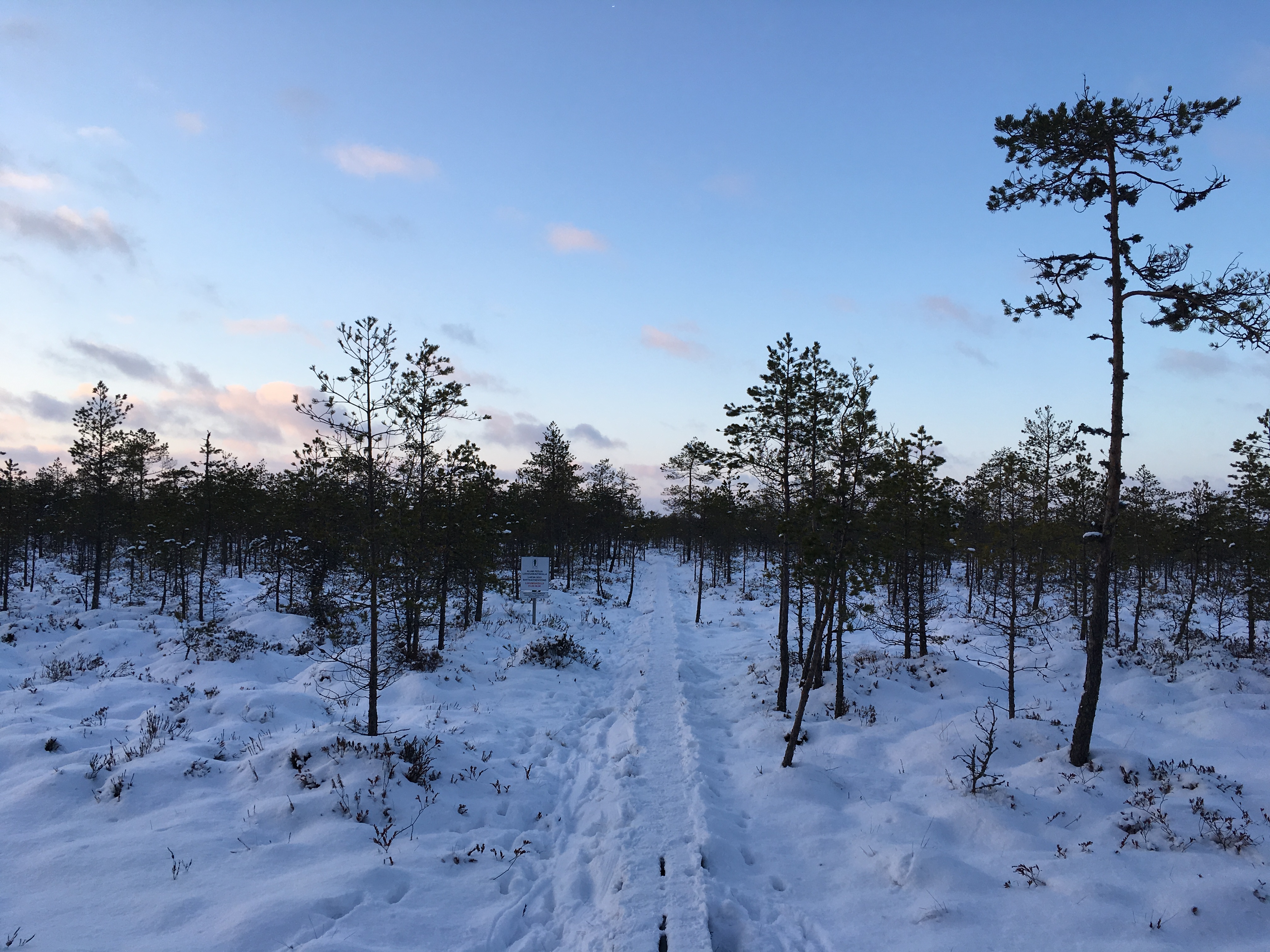
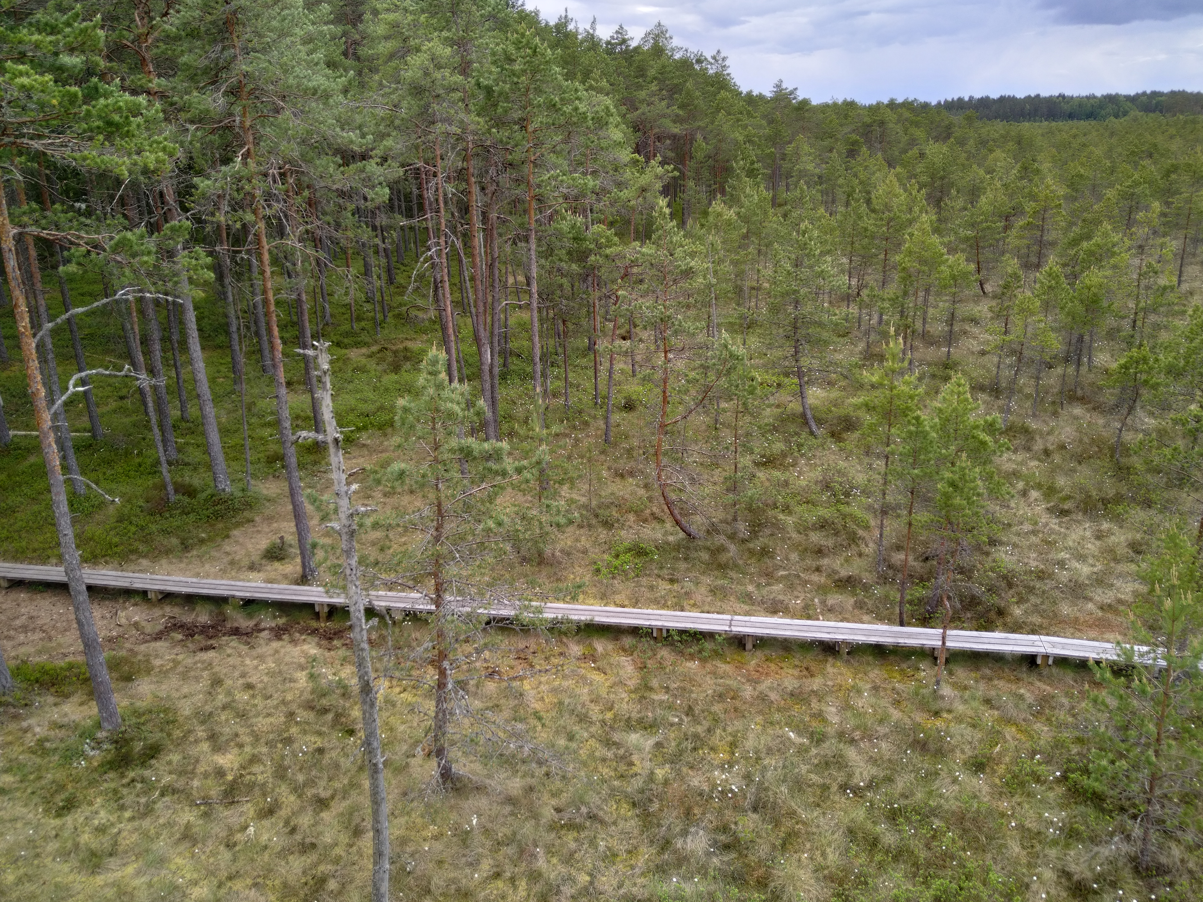
If you want a break from the hustle and bustle of the city, head to the beautiful, untouched nature of the Selli-Sillaotsa educational trail. Trail is located in the Alam-Pedja nature reserve, 30 minutes by car from Tartu.
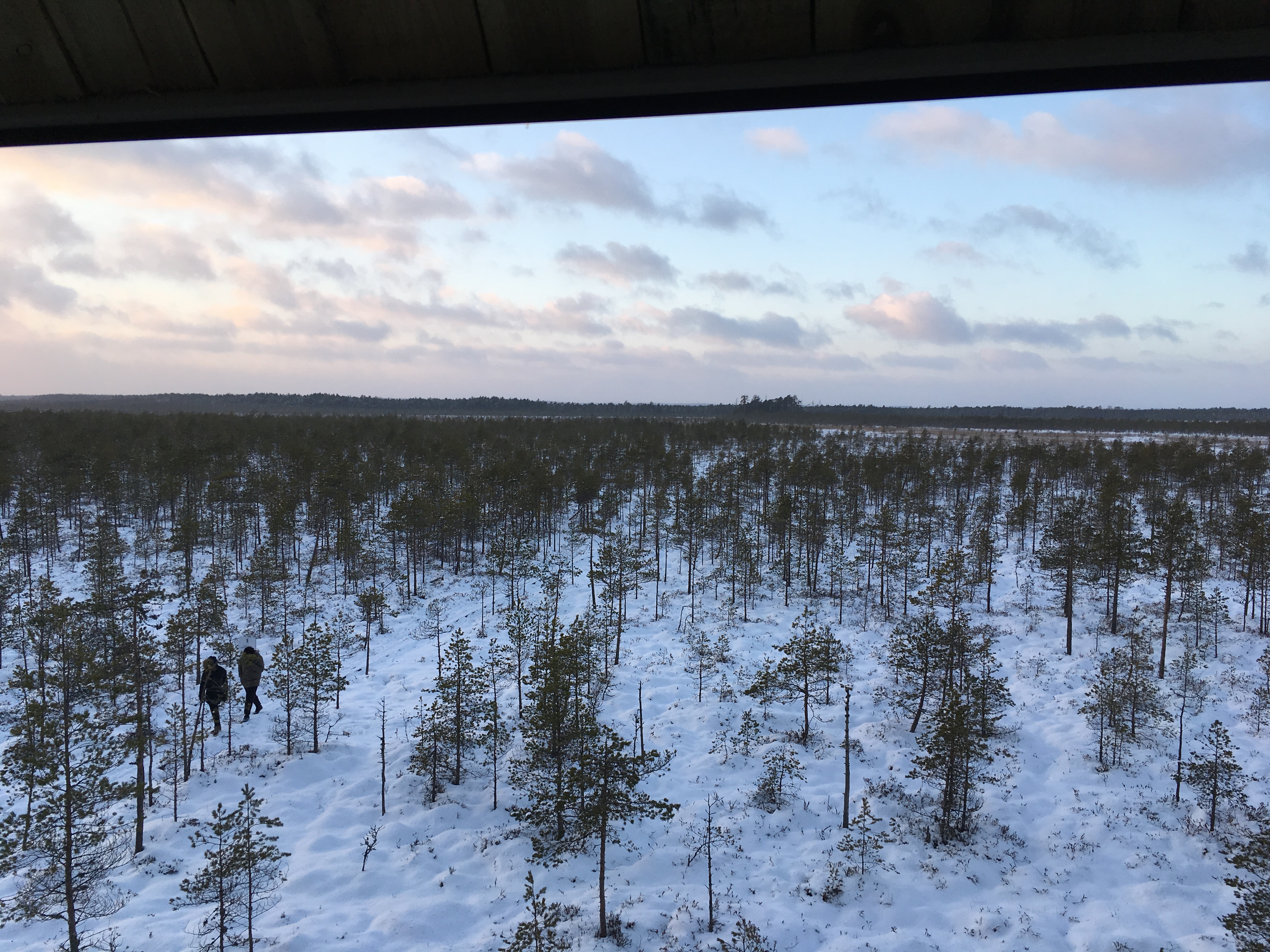
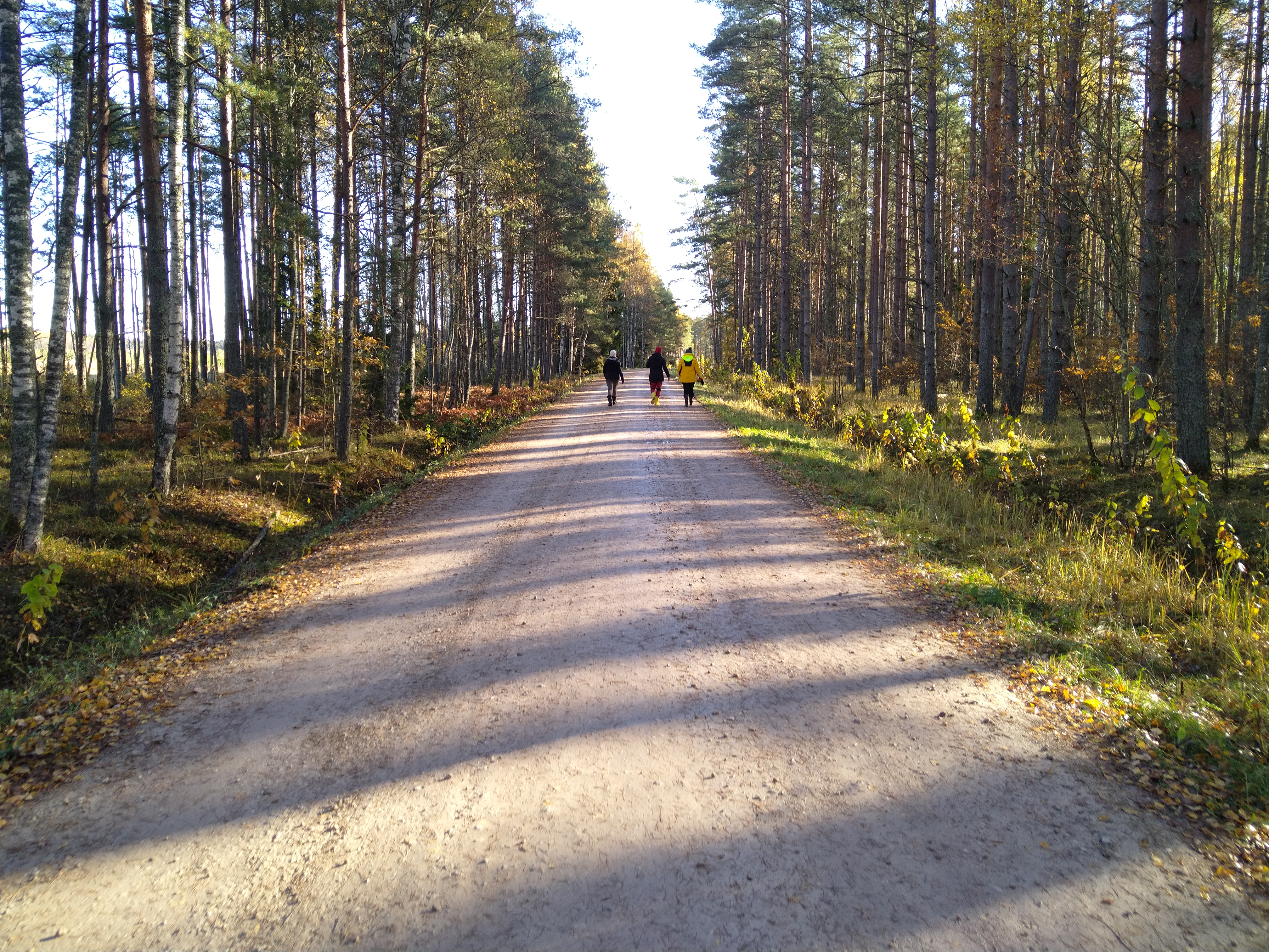
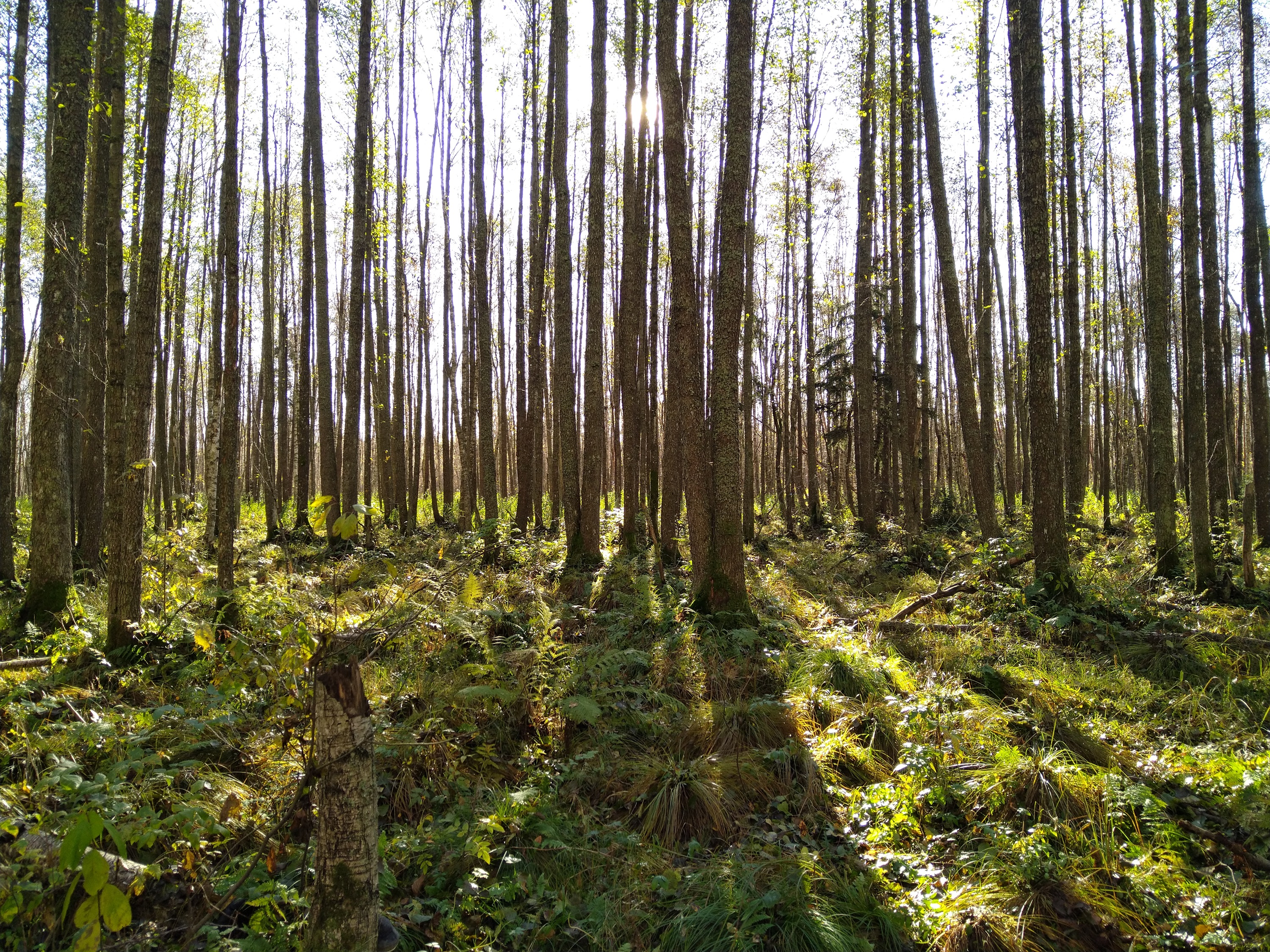
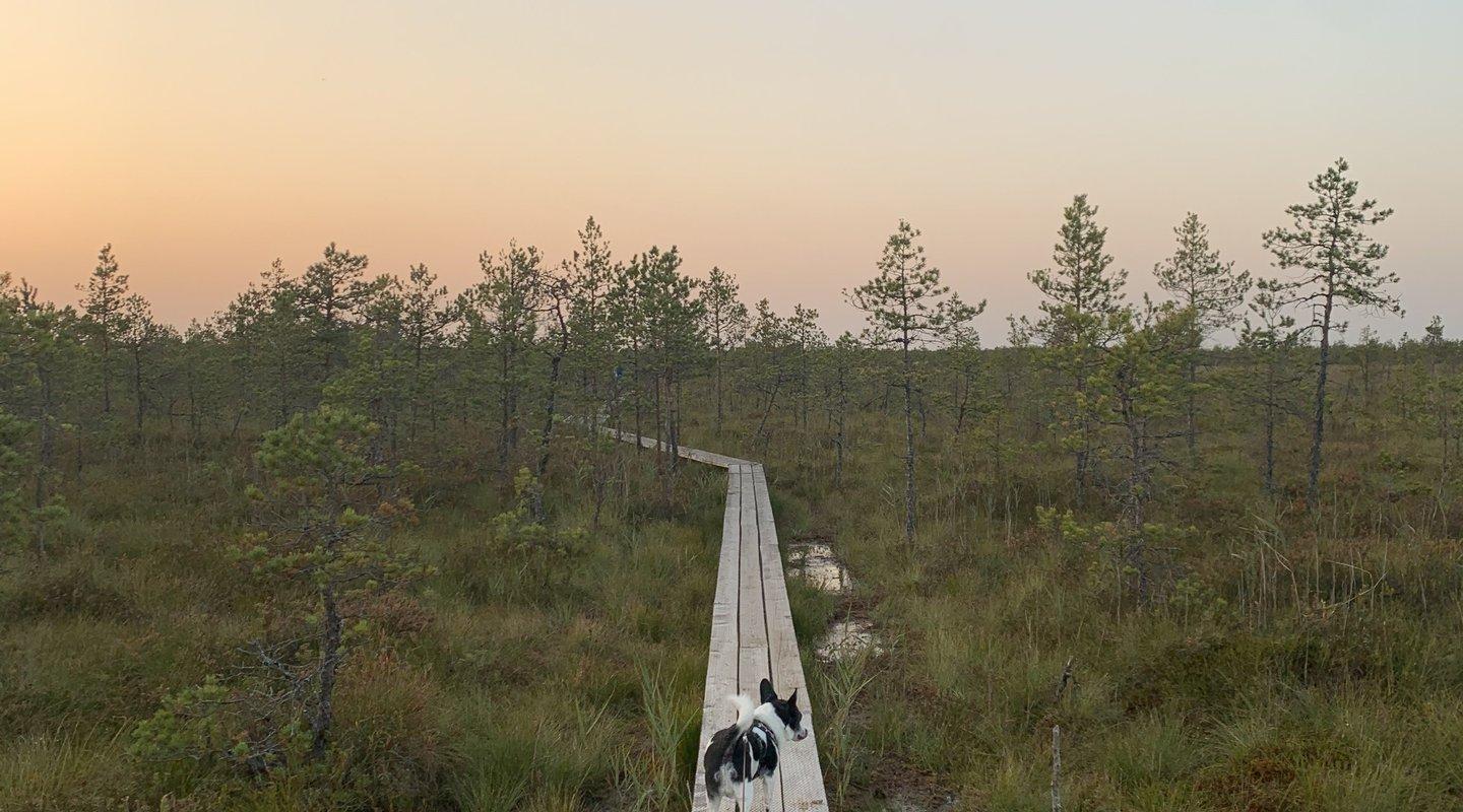
The well-marked trail, winding over a bog, through the forest, and on a gravel road, with plenty of information boards, is flat and easy to navigate. From the 12 m high Suuretüki observation tower built of massive logs, you can enjoy beautiful views of the bog in any season!
If you find yourself on the trail at the right time of year, you can treat yourself to edible berries, such as blueberries, blackberries, and cranberries.
Amenities

  • Information boards
  • Drop Toilet
  • Free parking

Open times

Throughout the Year

Around the Clock

Contact

  • +372 676 7122
  • info.kiidjarve@rmk.ee

Links

rmk.ee

See more

  • Hiking Trails
  • Birdwatching

Tamme Outcrop hiking track

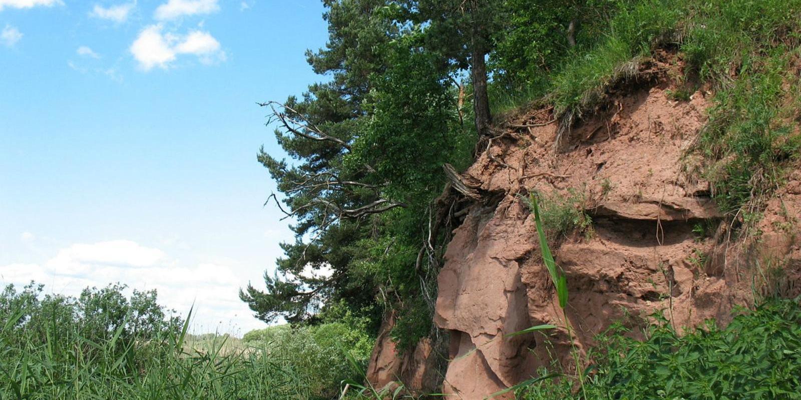
Tamme Outcrop hiking track is located on the eastern shore of Lake Võrtsjärv between the villages of Tamme and Neemisküla in Elva municipality. The area is rich in Devon sandstone outcrops from the Aruküla layer. Tamme Outcrop, which is located on the track, is an area where placoderms have been found and where valuable paleontological material has been collected since the second half of the 19th century.Ten information boards have been set up along the hiking track, which is almost 2 km long. They provide interesting information about the local natural environment. If you walk 1 km north on the track, you can turn back and hike back along a field or on a forest trail on the outcrop.

  • Hiking Trails

Murrumetsa Hiking Trail

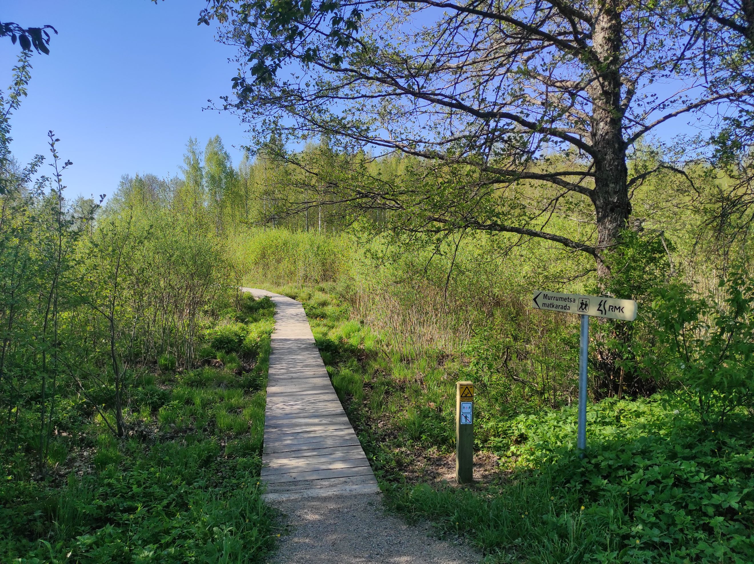
Murrumetsa Hiking Trail starts from the Pühajärve Manor Park and runs through Murrumetsa forest back to the park. It takes about 1-1.5 hours to pass the 3.5 km track. There are information boards next to the track that give information about the flora and fauna of our forests and cultivated landscapes. The track passes the ancient Pühajärv War Oak (circumference 6.98 m and height 22 m) and the commemorative stone to mark the Pühajärv War of 1841, which can be found among the oaks of Murrumets Forest. There are also rest areas and fire sites by the trail.

  • Camping sites
  • Hiking Trails

Piusa River valley hiking trail

The total length of the hiking trail in the primeval valley of the Piusa River is 15 km from the ruins of the Vastseliina Episcopal Castle to Lindora or vice versa. You can take the trail on foot, but parts of it are also passable either by bike or car. The highlights of the reserve are the tall Devonian sandstone outcrops – the tallest of them is the wall of Härma Mäemine or the Keldre Wall (total height 43 m, length 150 m). There are two camping sites – under the Make Wall on the first third of the trail and under the Härma Lower Wall towards the end of the trail.The object is not lighted, which is why we recommend to visit it during the day.

  • Hiking Trails

Pullijärve hiking trail

Located next to the community of Misso, Pullijärv is a nice place to spend some time. If you don't feel like swimming, you can hike around the lake: the 3.6-kilometer-long trail is just the right length for the whole family. The trail rises here and there too: boys used to do ski jumps from its highest point onto the lake in winter.The trail begins and ends at the RMK Pullijärv rental hut, which is located on the north shore of the lake. In spring and fall, the trail can be really wet.

  • Hiking Trails
  • Beaches

Lake Vaikne

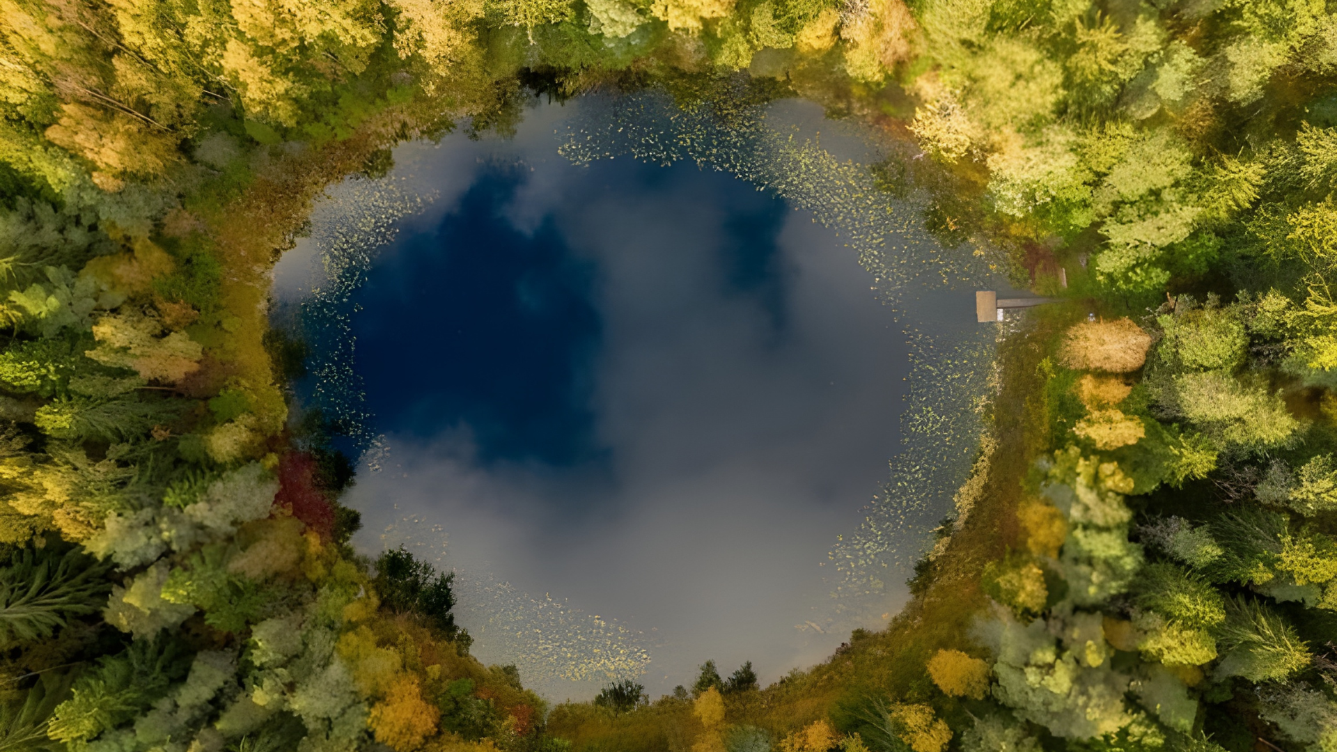
Between the forests of Elva is a mysterious body of water – Lake Vaikne. The beautiful forest lake is a sight in itself and enchants visitors with its charming nature and silence at any time of the year. The lake has also won the attention of the poet J. Kärner, who at one time often came here to gather inspiration.The place is suitable for a responsible holidaymaker who prefers less populated places and wants to have a breath-taking experience. The lake is suitable for swimming – the water is clean and very warm.Use the wooden bridge to dive into the lake!Swimming is at your own risk!The area is illustrated by the wooden sculptures of the Nature Energy Trail.

  • Lookout towers
  • Hiking Trails

Väike Munamägi Hill

Climbing to the top of Munamägi Hill is worth the effort – the view covers more than 50 km. The absolute height of Väike or Otepää Munamägi Hill is 207.5 m (relative height exceeds 80 m). There is a spring on the north-eastern slope of Väike Munamägi (in the direction of Otepää) that has been considered the start of the Väike Emajõgi River for a long time. The boulder on the edge of the first plain is the biggest in the area – 250,000 kg. Take a look at the aerial panorama (picture by Joel Tammet).

  • Hiking Trails

Saare Lake study trail

The 3.5 km trail introduces different forest communities. It can be accessed from the parking lot at the beginning of the trail or the Sihi and Papi campfire sites. The trail runs along boardwalks and paths of varied landscape. It also passes the burial ground of the Manteuffel family and a complex monitoring station. You can camp and make a fire under a cover at the Sihi and Papi campfire sites. The trail is suitable for visitors of all ages, as it is interesting and educational.

  • Hiking Trails

Laari Forestry Study Trail

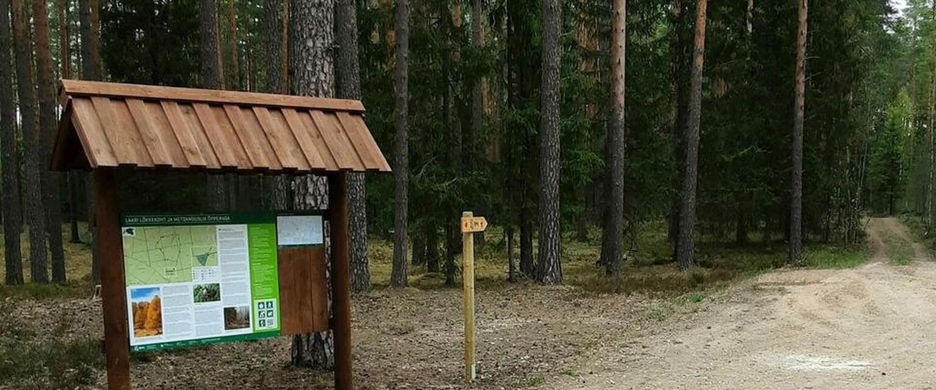
The 3-km-long circular forestry study trail, starting at Laari campfire site, is suitable for a peaceful walk for holidaymakers at the campfire site, nature lovers, and hikers with pets.The trail is very diverse - it runs along the paths and trails of the bright pine forest, the mysterious pine forest, and the eye-catching birch forest, over the Lambiniidu and a ditch, over which wooden bridges have been built.The trail is marked with signs and red dots on trees, the information boards on the trail introduce the surrounding nature and the different ways of forest management.

  • Collaboration
  • News
  • Contacts
  • Privacy Policy
Join our mailing list!

"*" indicates required fields

This field is for validation purposes and should be left unchanged.
I authorise marketing

South Estonia Tourism Cluster

info@visitsouthestonia.com