• Explore
    • Nature
    • Culture
    • Food
    • Family
    • Activity
    • Blog
    Smoke sauna
    Weather and seasons
  • Plan
    • Accommodation
    • How to get here
    • Weather and seasons
    • Sustainability
    • Tourist info
    Discover South Estonia’s Most Beautiful Manors and Castles
    Top 20 Sights in South Estonia
  • For professionals
    • For professionals
    • Collaboration
    • News
    • Projects
    • Training
    • Repository
    • Community (opens in new tab)
    • Contacts
ENG
  • EnglishENG
  • EestiEST
  • LatviešuLAT
  • РусскийRUS
  • SuomiFIN
ENG
  • EnglishENG
  • EestiEST
  • LatviešuLAT
  • РусскийRUS
  • SuomiFIN
Popular searches:
Show all
  • Nature and Activities
  • Nature
  • Hiking Trails

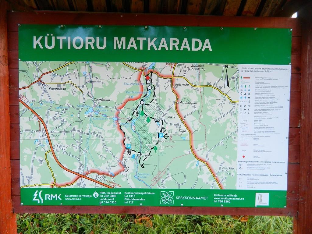
Kütioru hiking trail

Võru vald, Võru maakond, 65521

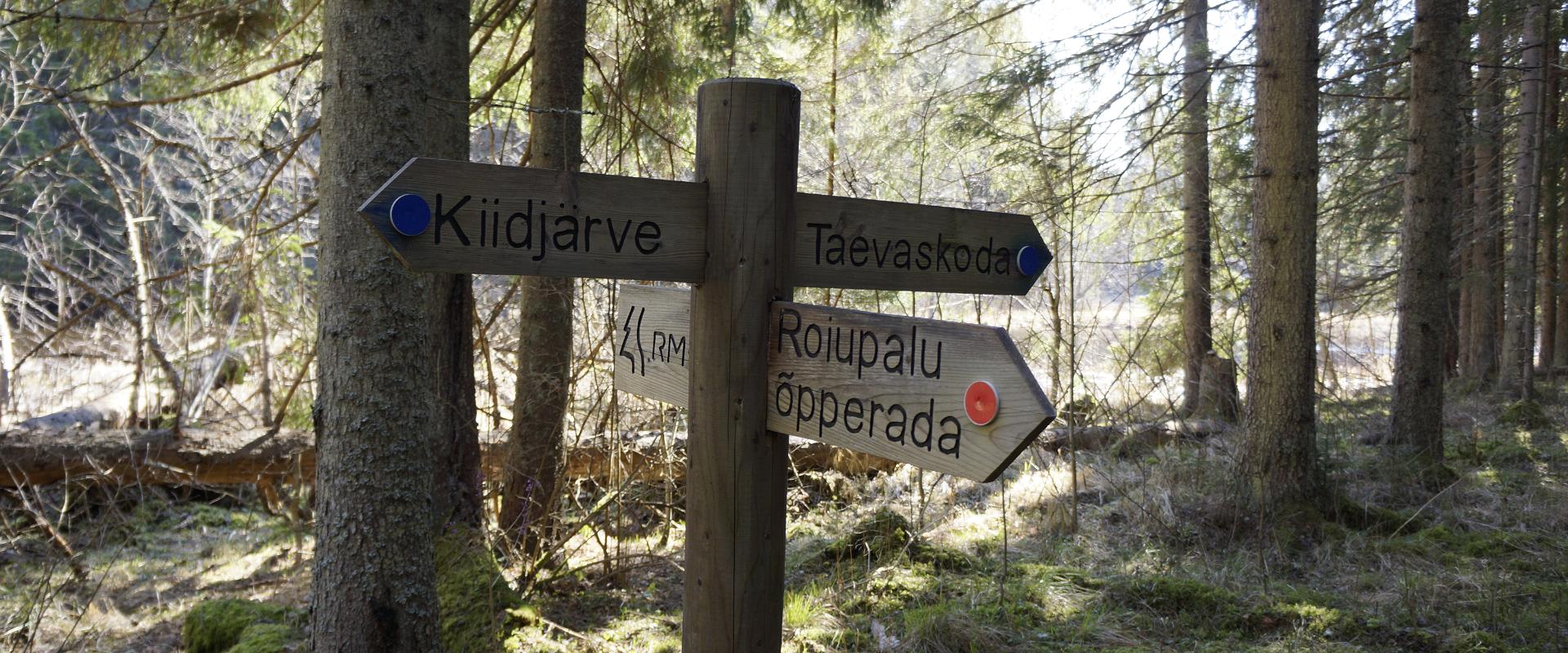
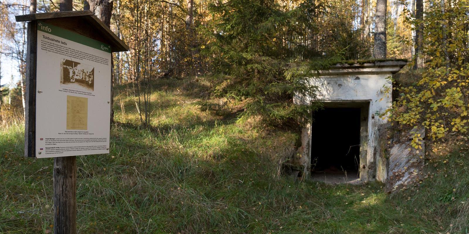
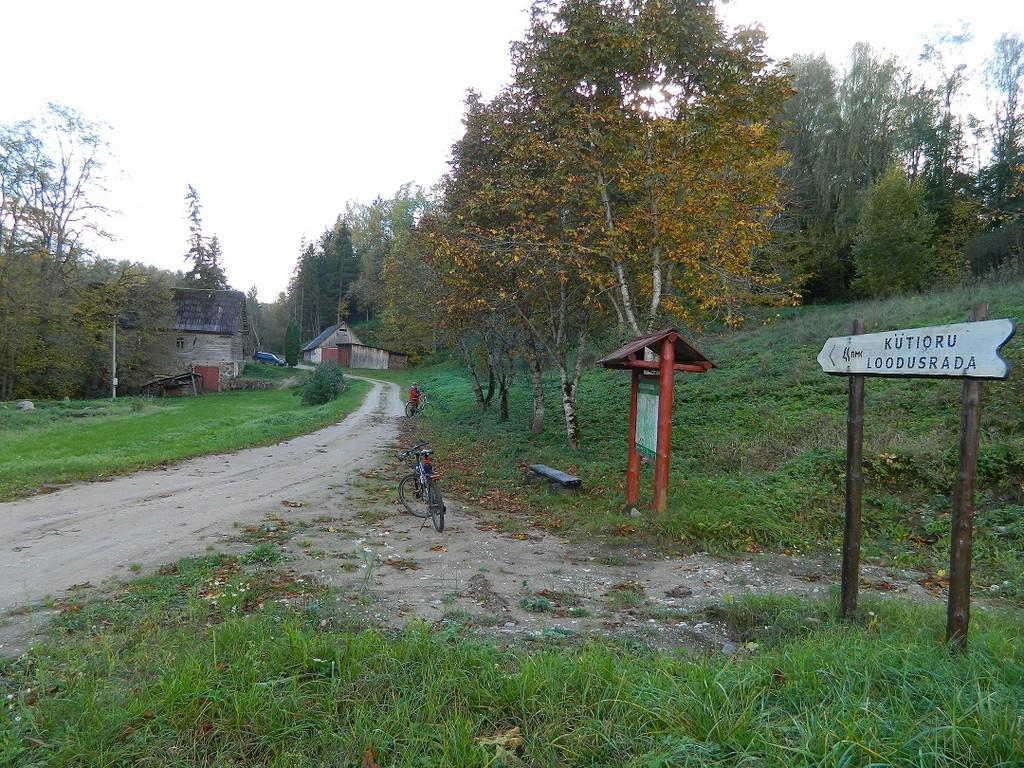
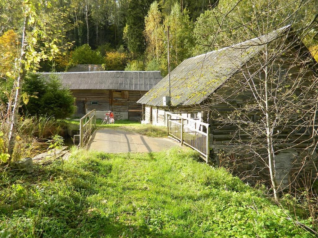
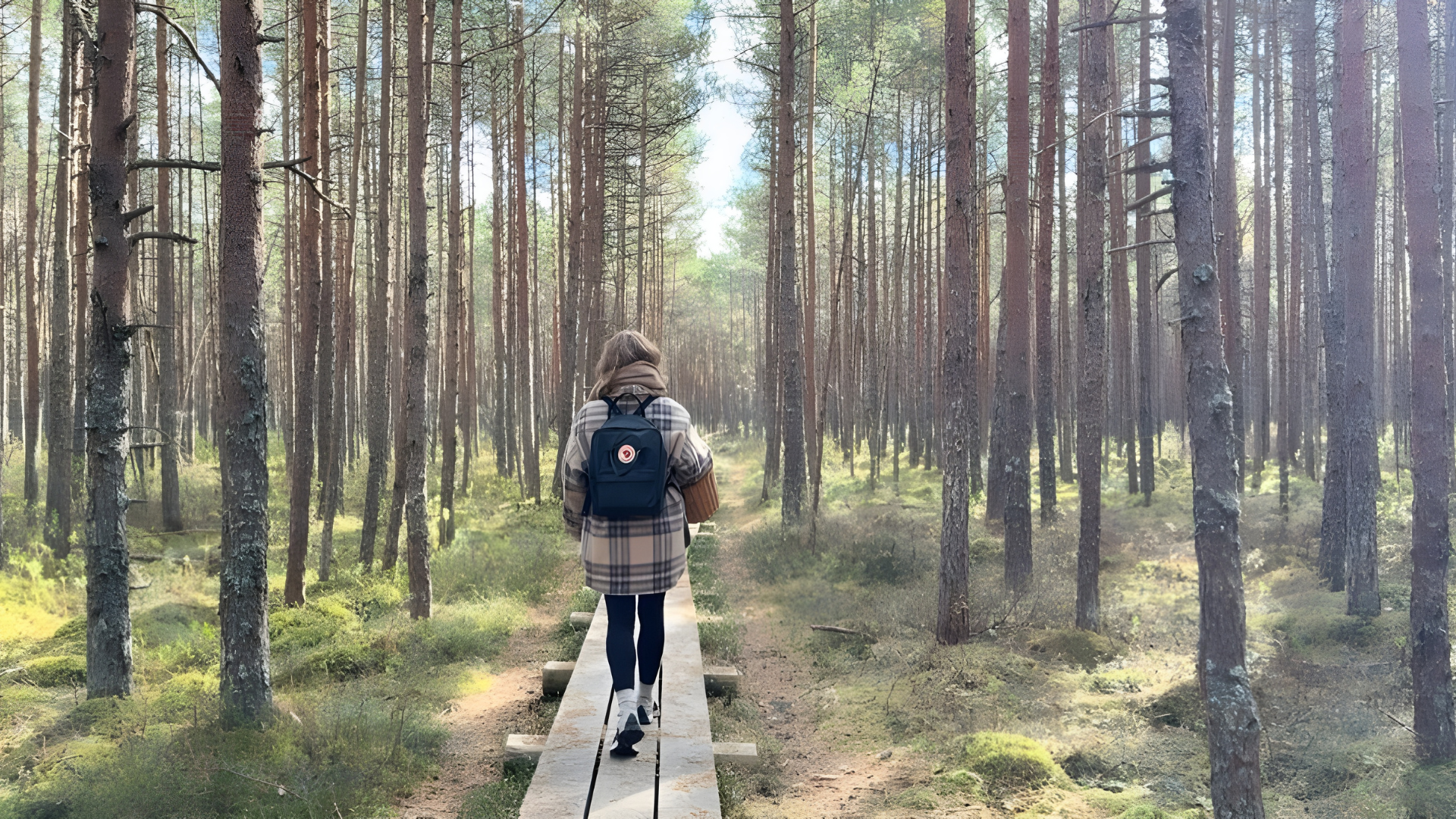
The hiking trail starts from the parking area near the Kütiorg Holiday Centre. The trail is diverse, with fairly steep and challenging terrain, so it’s recommended to allow four to five hours to complete it.
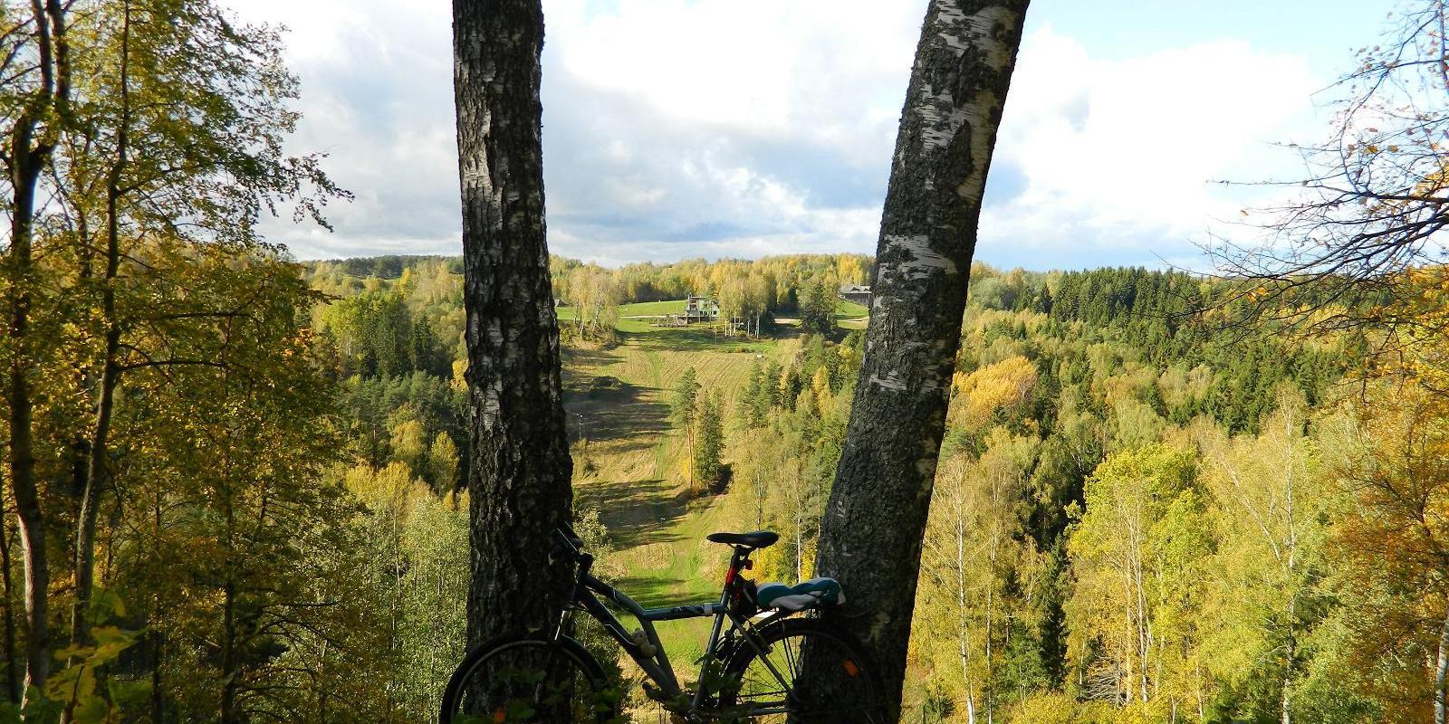
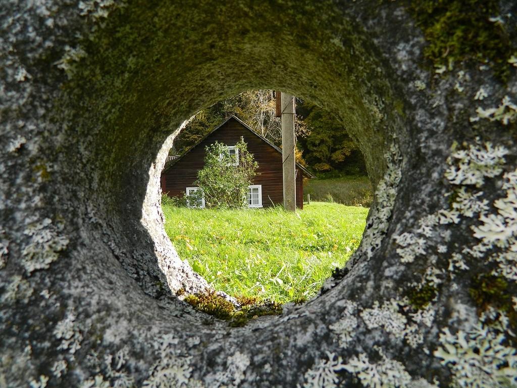
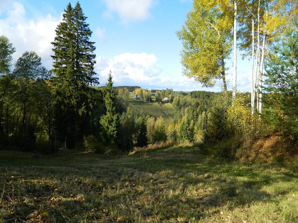
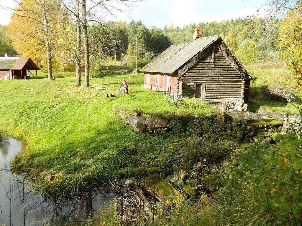
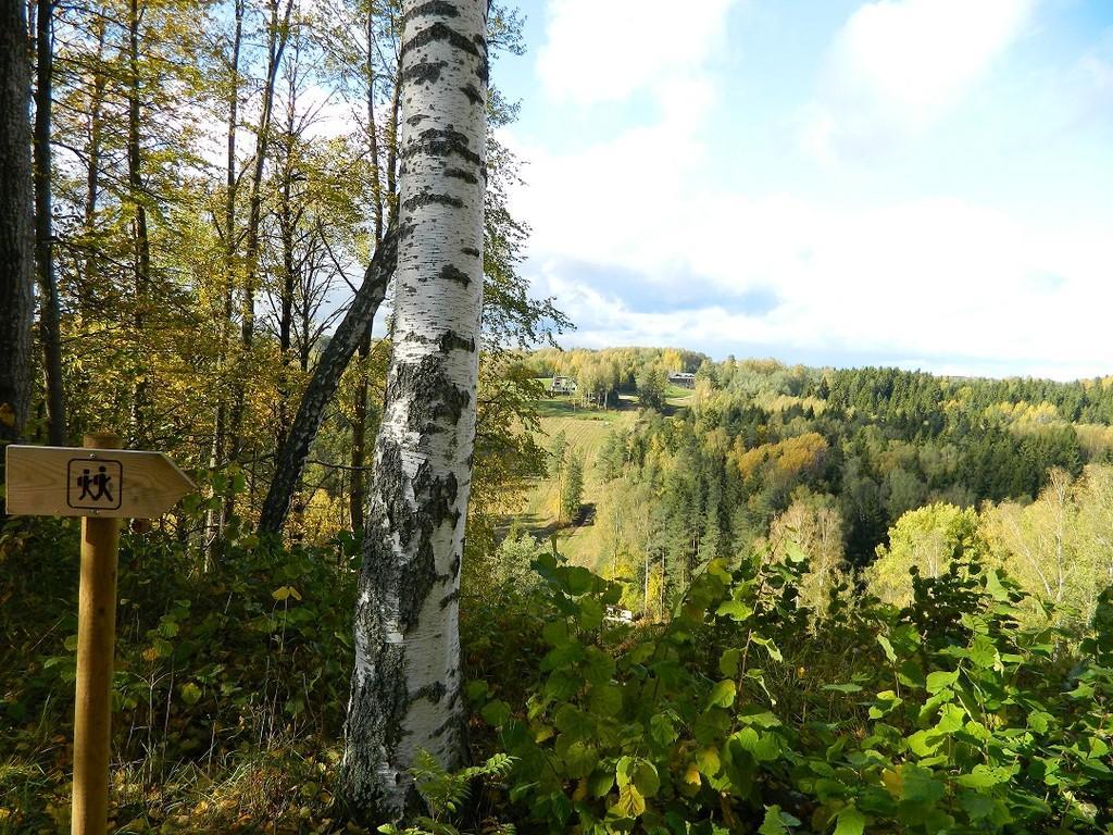
Along the trail, hikers get the best view of Estonia’s largest and most powerful ancient valley – Kütiorg – and can explore old mill sites and other cultural heritage landmarks. In the forested slopes of Kütiorg, there are spruce stands over a hundred years old, as well as exceptionally thick and tall aspen trees.
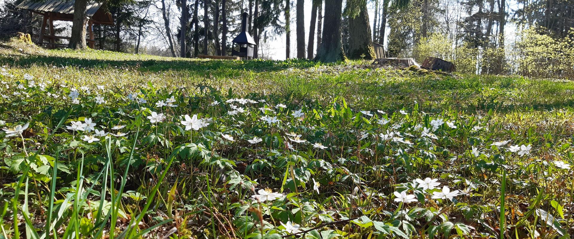
Near the starting point of the trail, there is a campfire site equipped with a grill grate.
Good to know: Part of the trail passes through private property, where dogs may roam freely.
Amenities

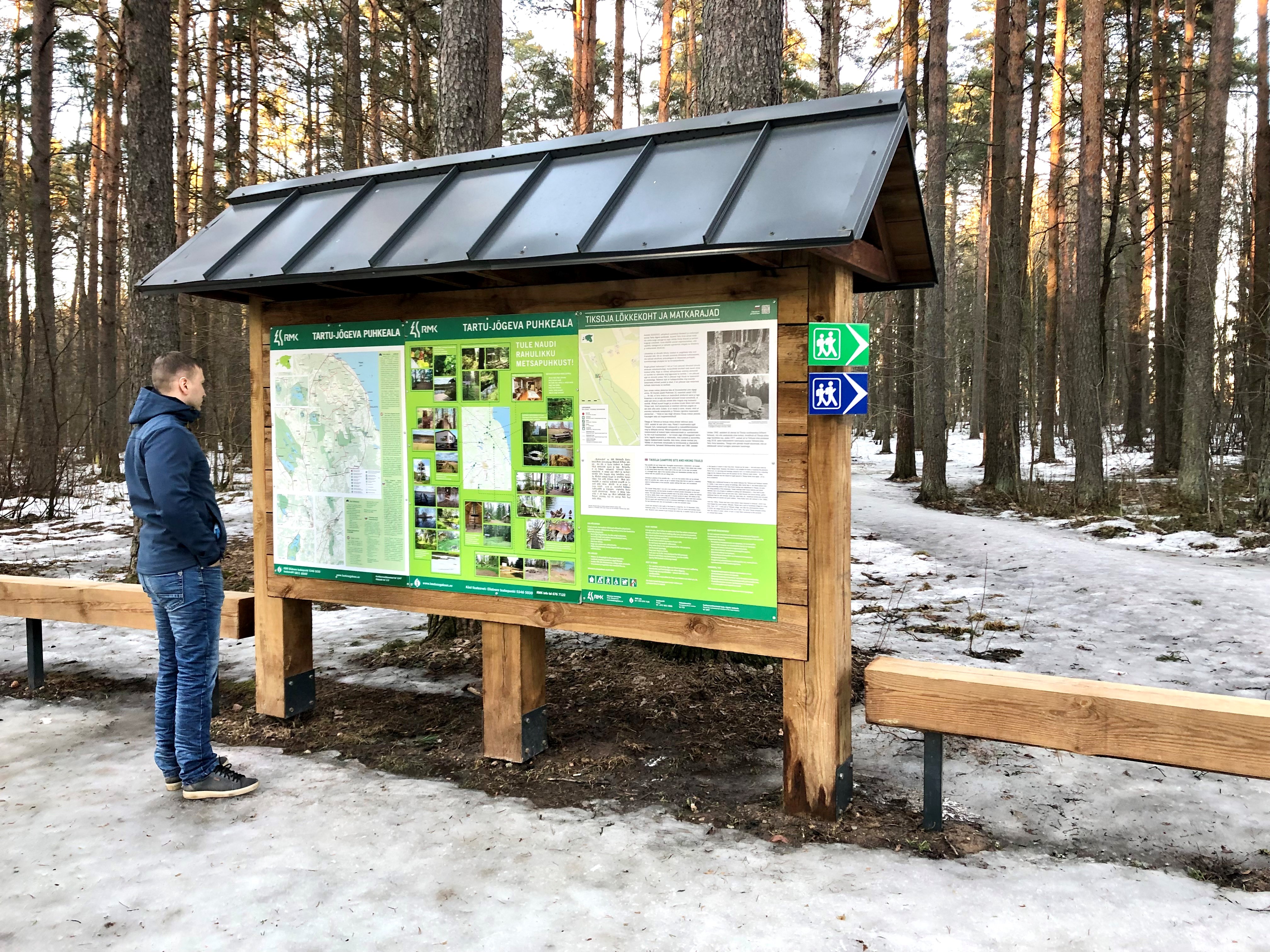
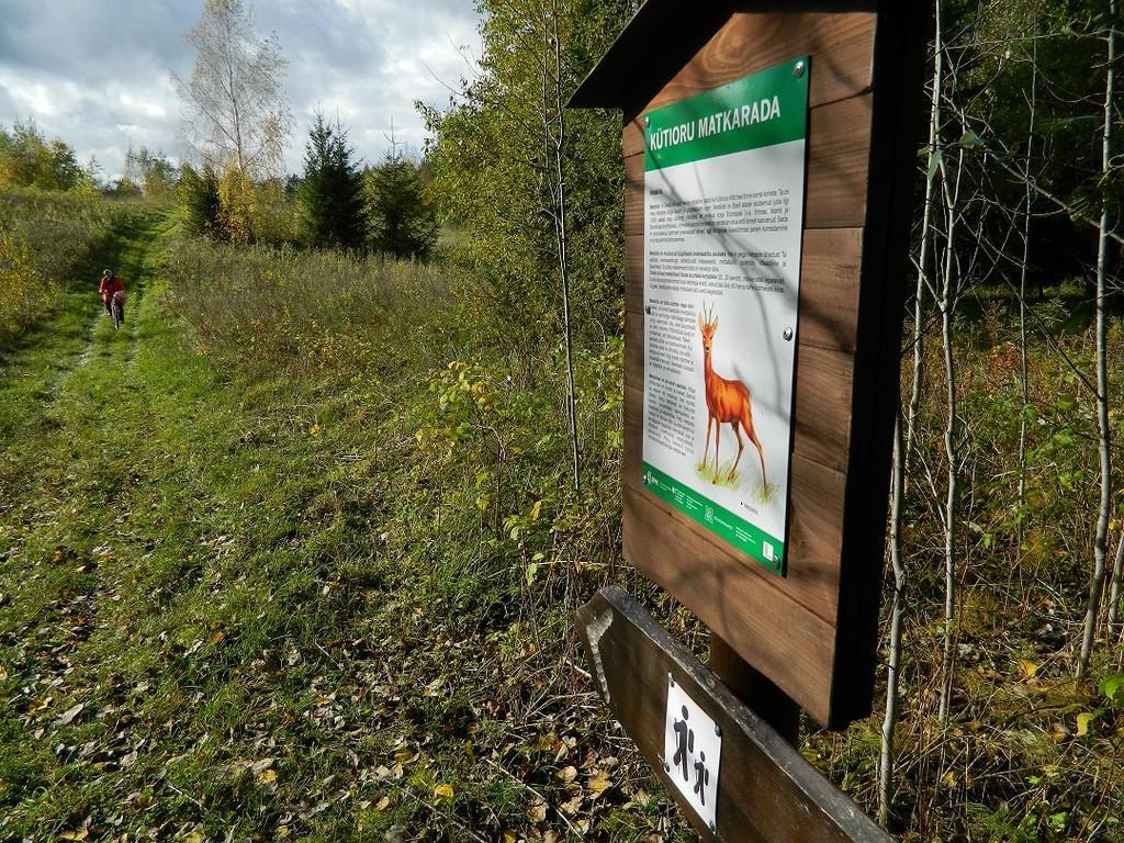
  • Information boards
  • Free parking

Open times

Throughout the Year

Around the Clock

Contact

  • +372 782 1881
  • voru@visitestonia.com

Links

loodusegakoos.ee

See more

  • Lookout towers
  • Hiking Trails

Harimägi and Harimäe Observation Tower

Harimägi is one of the largest mesas in the Otepää Uplands (211 m above sea level). It is worth coming to Harimäe whenever you are near Otepää. The Harimäe Observation Tower is located 3 km from Kääriku in the direction of Sangaste. The height of the tower is 28 m, and the highest viewing platform is 24 m high. The tower offers views of the Otepää mountains and across the Väike Emajõgi valley to the Karula upland. Camping is also allowed at the tower. Good to know: Harimägi is also called 'Leenard and Leonhard's hill.' From 1816 to 1819, geodetic surveys were carried out here by the internationally recognised astronomer and surveyor Friedrich Georg Wilhelm Struwe (1793–1864).

  • Hiking Trails

Kaljupealse campfire site

The Kaljupealse campfire site is located on the banks of the Võhandu River, in a beautiful pine forest. The riverside and high banks offer a beautiful view of the Võhandu River and sand outcrops. The campfire site has a roofed table and benches, a roofed grill, and firewood. The place is ideal for campers, fishing enthusiasts, and as a resting point for guests coming here with boats.Along the high sandy shores, through a beautiful pine forest, there is an unmarked hiking trail where you can enjoy beautiful views of nature or pick berries and mushrooms.

  • Lookout towers
  • Hiking Trails

Valgesoo study trail

The study trail is well-suited for getting acquainted with the development and vegetation of bogs and for observing pine cultures. A 1.8 km long circular study trail revolves around the Valgesoo bog. On the she study trail you can explore the bog vegetation, old pine plantation ("Baron's pine forest"), and a forest edge rich of Scottish wood ants. The whole trail is accessible by a wheelchair or stroller. To facilitate movement on the track, there is a track map and colour markings on the trees. There is an observation tower and a campfire site at the start of the study trail.Valgesoo bog is one of the 21 places worth discovering in Southern Estonia, which is suggested to be visited for those who are interested in nature.

  • Hiking Trails

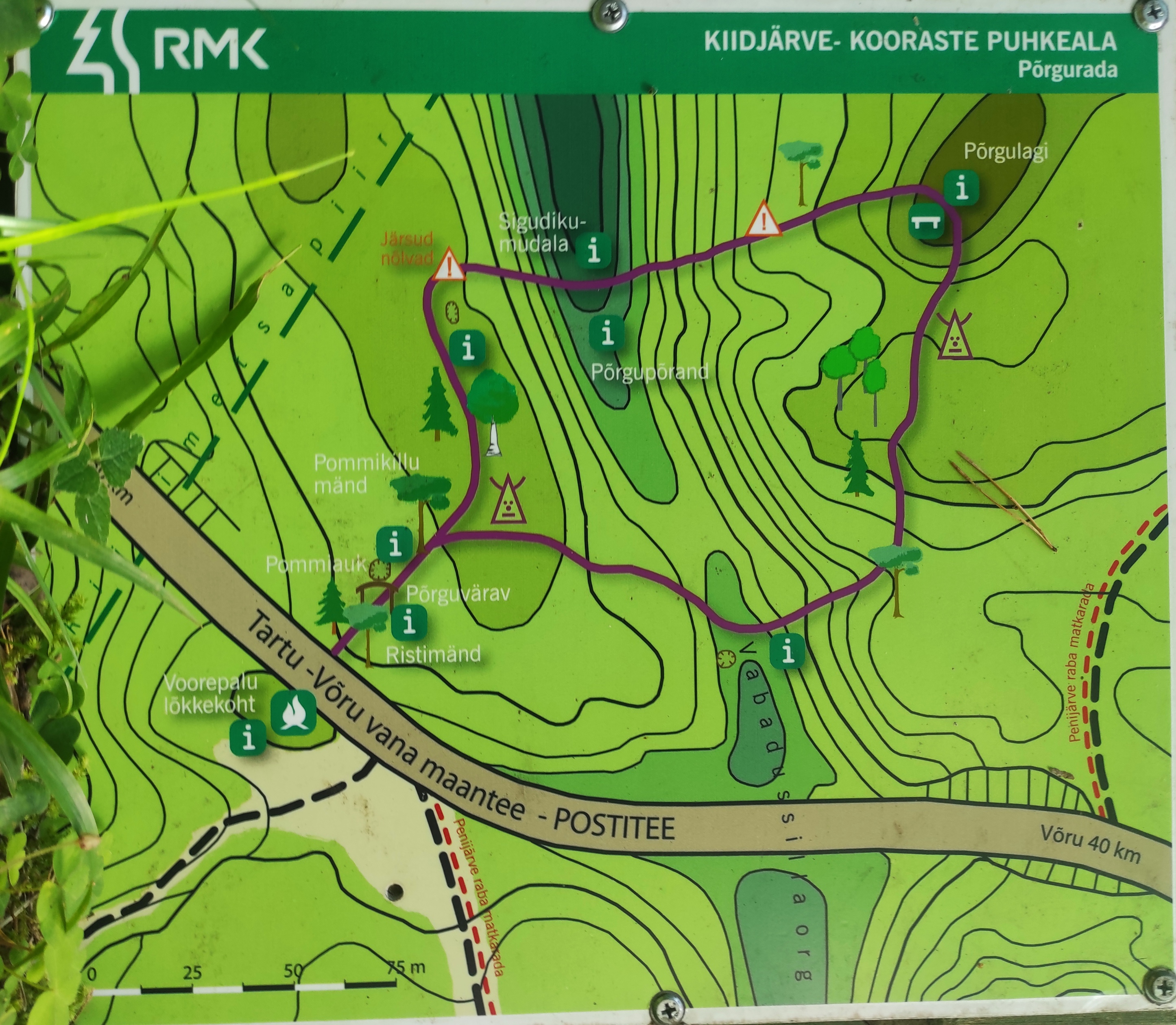
RMK Voorepalu Põrgurada trail

The hiking trail, which is suitable for a pleasant walk, starts on the other side of the road opposite the Voorepalu campfire site and runs along an extremely varied landscape with several steep ascents and descents. The trail has information boards introducing past events and folklore and the highest point of the trail has a table and benches for resting. Rope railings have been installed on the steep slopes of the trail.The historical Postal Road runs between the campfire site and the hiking trail. Ristimänd tree and many other exciting places are on the trail with a varied landscape. Two cars can park at the campfire site.

  • Camping sites
  • Hiking Trails

Piusa River valley hiking trail

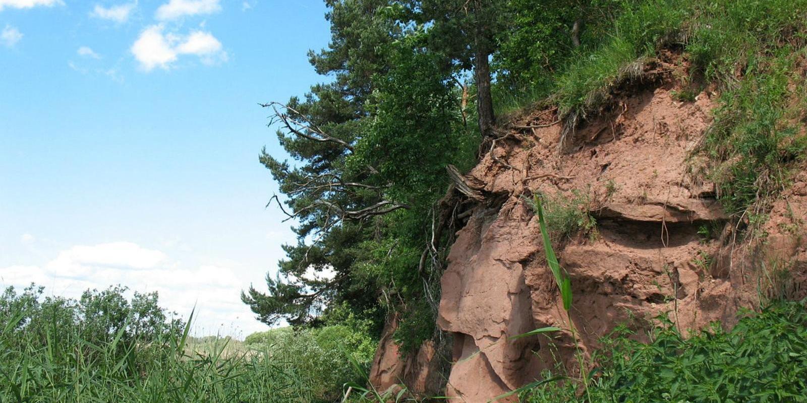
The total length of the hiking trail in the primeval valley of the Piusa River is 15 km from the ruins of the Vastseliina Episcopal Castle to Lindora or vice versa. You can take the trail on foot, but parts of it are also passable either by bike or car. The highlights of the reserve are the tall Devonian sandstone outcrops – the tallest of them is the wall of Härma Mäemine or the Keldre Wall (total height 43 m, length 150 m). There are two camping sites – under the Make Wall on the first third of the trail and under the Härma Lower Wall towards the end of the trail.The object is not lighted, which is why we recommend to visit it during the day.

  • Hiking Trails

Alatskivi Hiking Trail

The 4.5 km long trail around Lake Lossijärv with its varied terrain and beautiful views offers visitors plenty of excitement and sights at any time of year.The trail starts at Alatskivi or by the Bed of Kalevipoeg. Alatskivi Castle and Castle Park, Hirveaed Garden, Sheep Bridge, Bed of Kalevipoeg, Lake Veskijärv, and Lake Lossijärv are all along the trail. There are two large information boards on the trail, log stairs in the Bed of Kalevipoeg, two bridges, signs, and small information boards that introduce the objects found in the protected area.

  • Hiking Trails

Õrsava Lake Hiking Trail

The Õrsava Lake Hiking Trail winds around the lake of the same name. The 5 km trail starts officially at the Värska school stadium, but you can start at any point. The lakeside footpath is made more exciting by several bridges. On the shore of Õrsava village there is a campfire site and an RMK bonfire site, as well as a swimming area.In addition to scenic views of nature and pine forests, the hiking trail offers some history: it's partly on the road of the former Estonian Defense Forces Training Center, the so-called , and although the camp was largely dismantled in World War II, some soldiers' barracks and other buildings have been preserved.

  • Hiking Trails

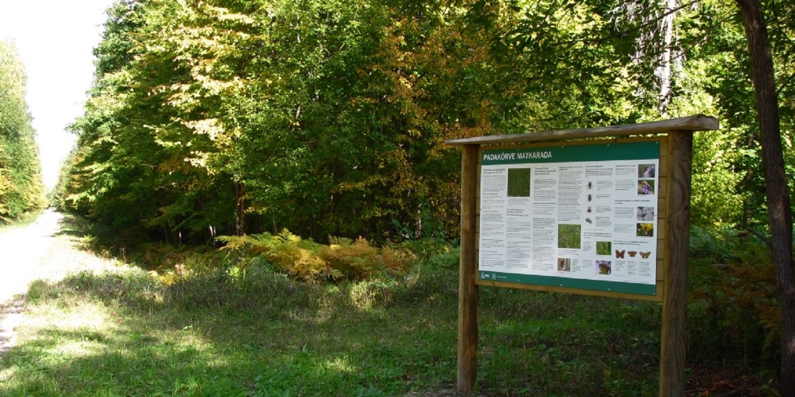
Padakõrve Hiking Trail

The hiking trail runs along a gravel road in a forest and introduces the life of ants. There are information boards next to the gravel road, as well as signposts near the ant colonies. The trail can also be explored in a vehicle. The 3.6 km trail starts at the information board at the roadside.The hiking trail is located in Padakõrve Nature Reserve. Its most important values include one of the largest populations of Scottish wood ants, diverse forest communities, and a multifaceted landscape. The purpose of the protected area is to protect the Scottish wood ants, as well as other protected species and their habitats, the forest communities, and the Kärgandi kame field.

  • Collaboration
  • News
  • Contacts
  • Privacy Policy
Join our mailing list!

"*" indicates required fields

This field is for validation purposes and should be left unchanged.
I authorise marketing

South Estonia Tourism Cluster

info@visitsouthestonia.com