• Explore
    • Nature
    • Culture
    • Food
    • Family
    • Activity
    • Blog
    Smoke sauna
    Weather and seasons
  • Plan
    • Accommodation
    • How to get here
    • Weather and seasons
    • Sustainability
    • Tourist info
    Discover South Estonia’s Most Beautiful Manors and Castles
    Top 20 Sights in South Estonia
  • For professionals
    • For professionals
    • Collaboration
    • News
    • Projects
    • Training
    • Repository
    • Community (opens in new tab)
    • Contacts
ENG
  • EnglishENG
  • EestiEST
  • LatviešuLAT
  • РусскийRUS
  • SuomiFIN
ENG
  • EnglishENG
  • EestiEST
  • LatviešuLAT
  • РусскийRUS
  • SuomiFIN
Popular searches:
Show all
  • Nature and Activities
  • Nature
  • Hiking Trails

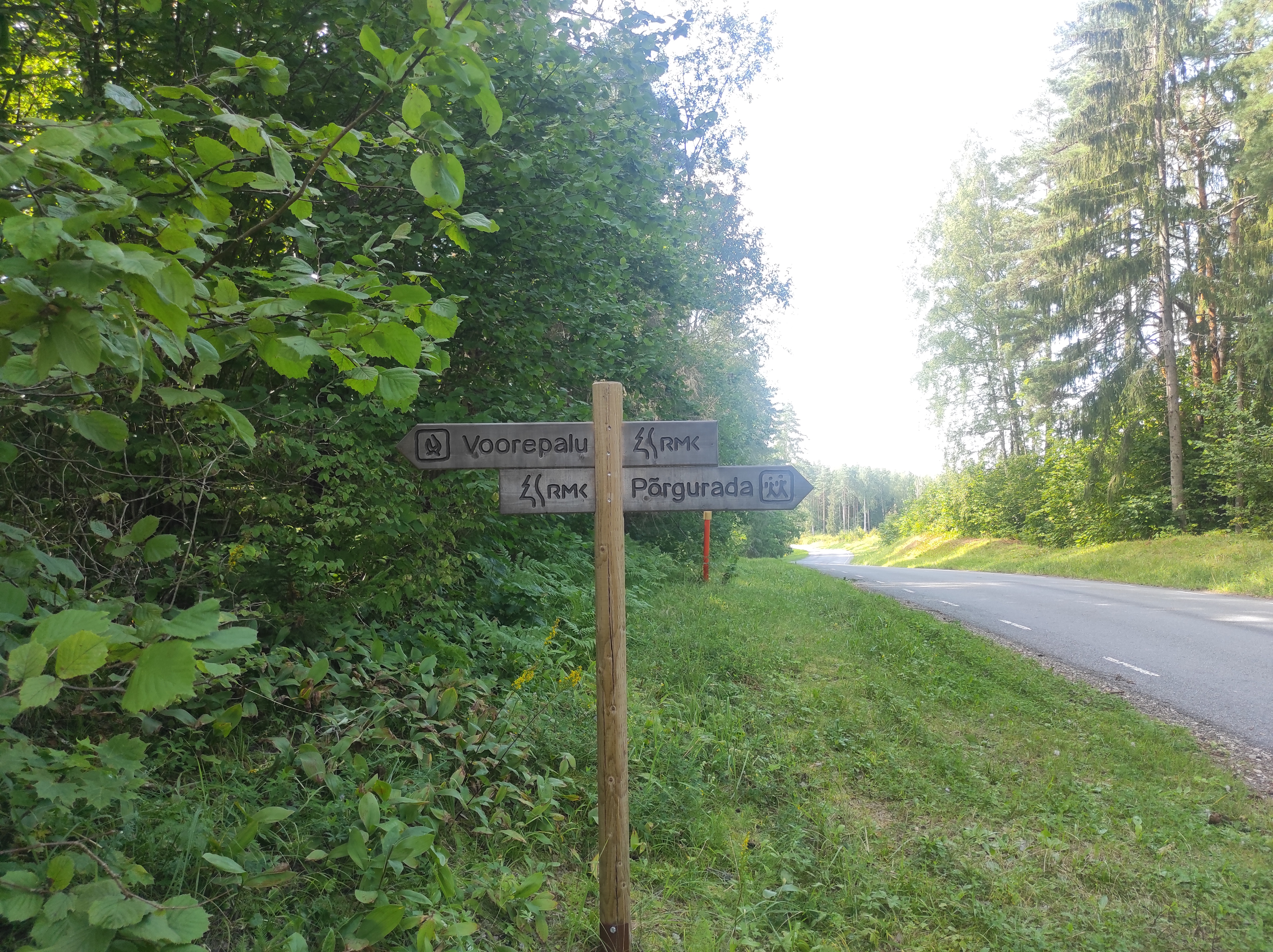
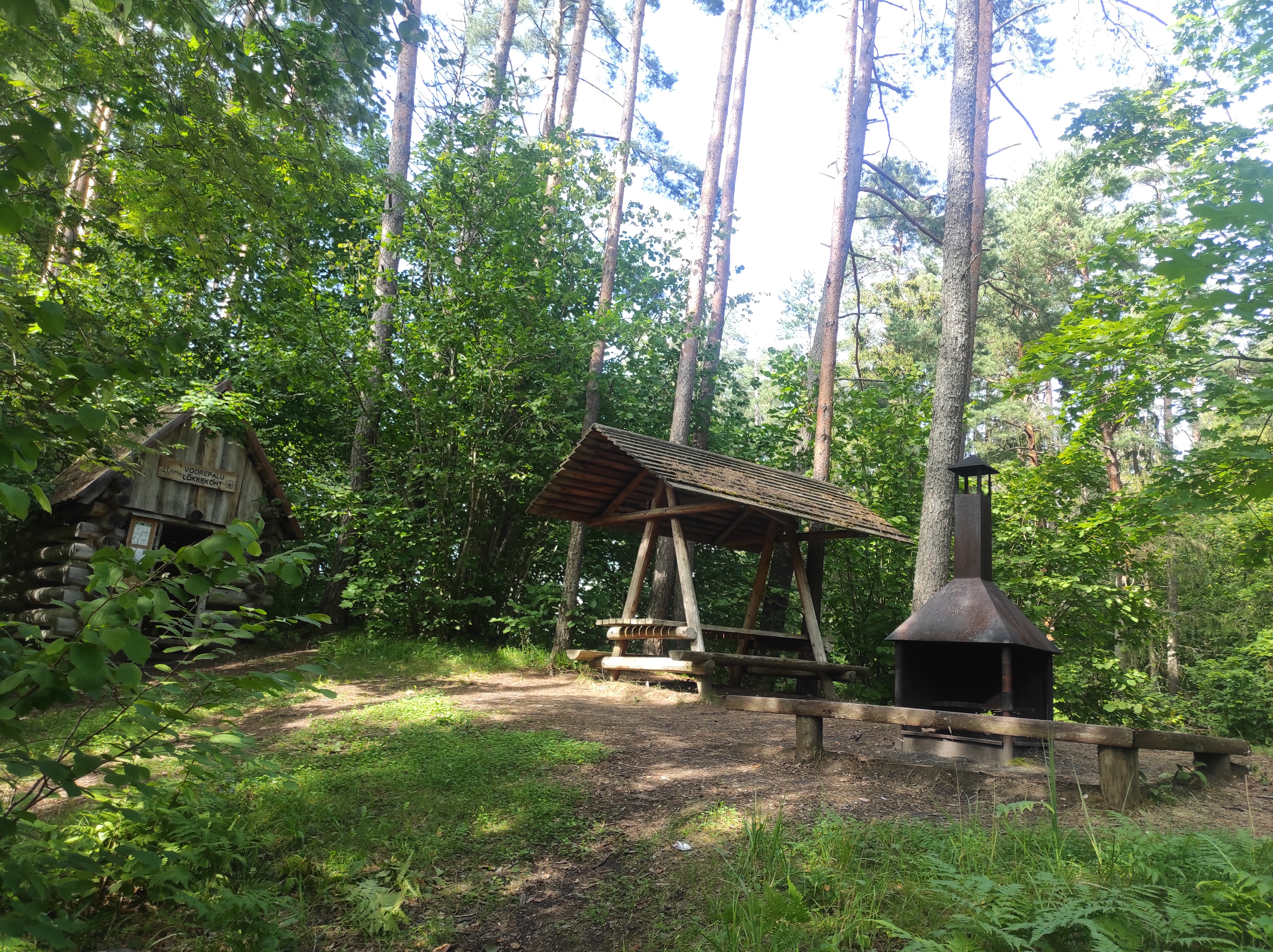
RMK Voorepalu Põrgurada trail

Kanepi vald, Põlva maakond, 63512

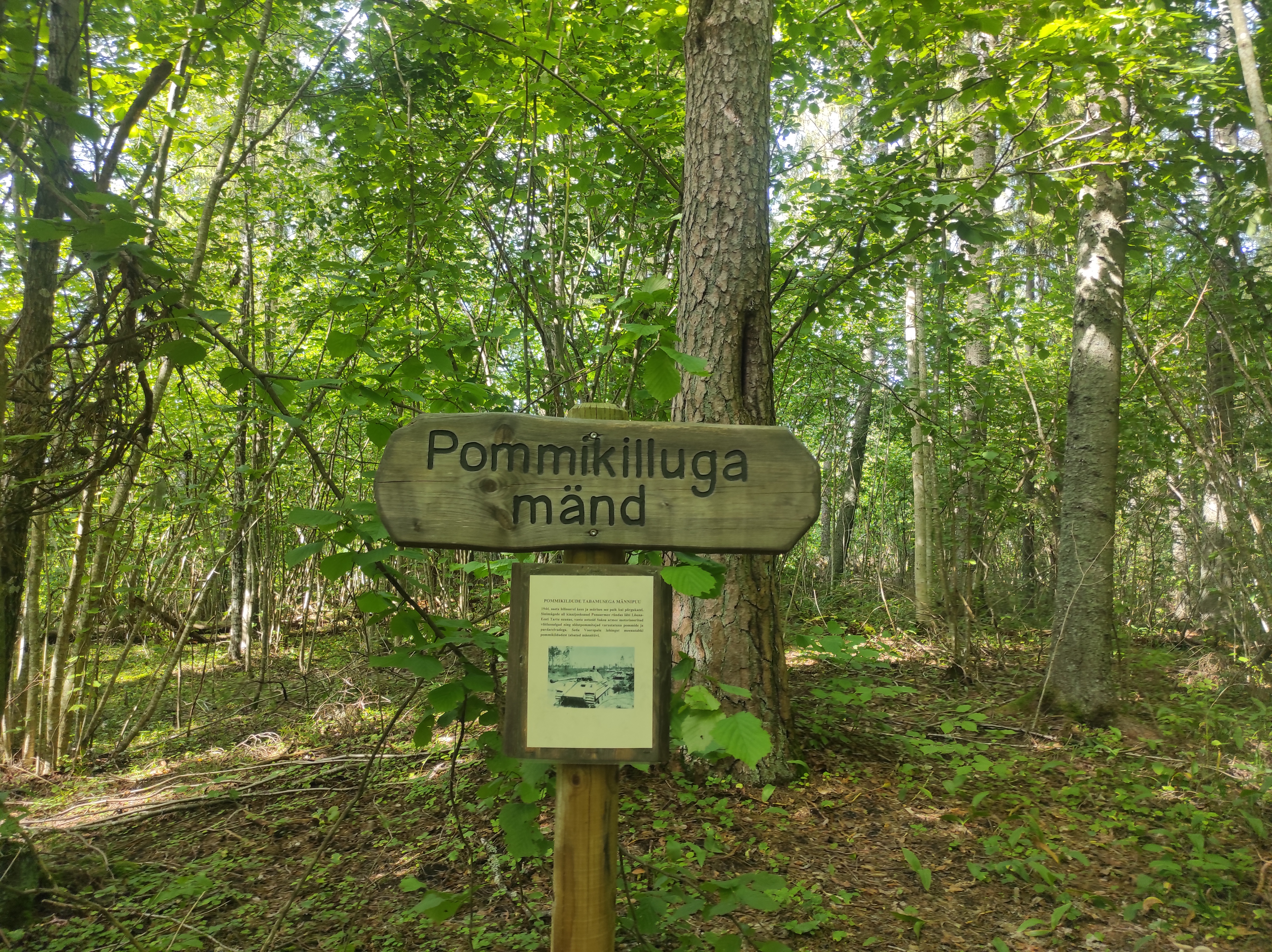
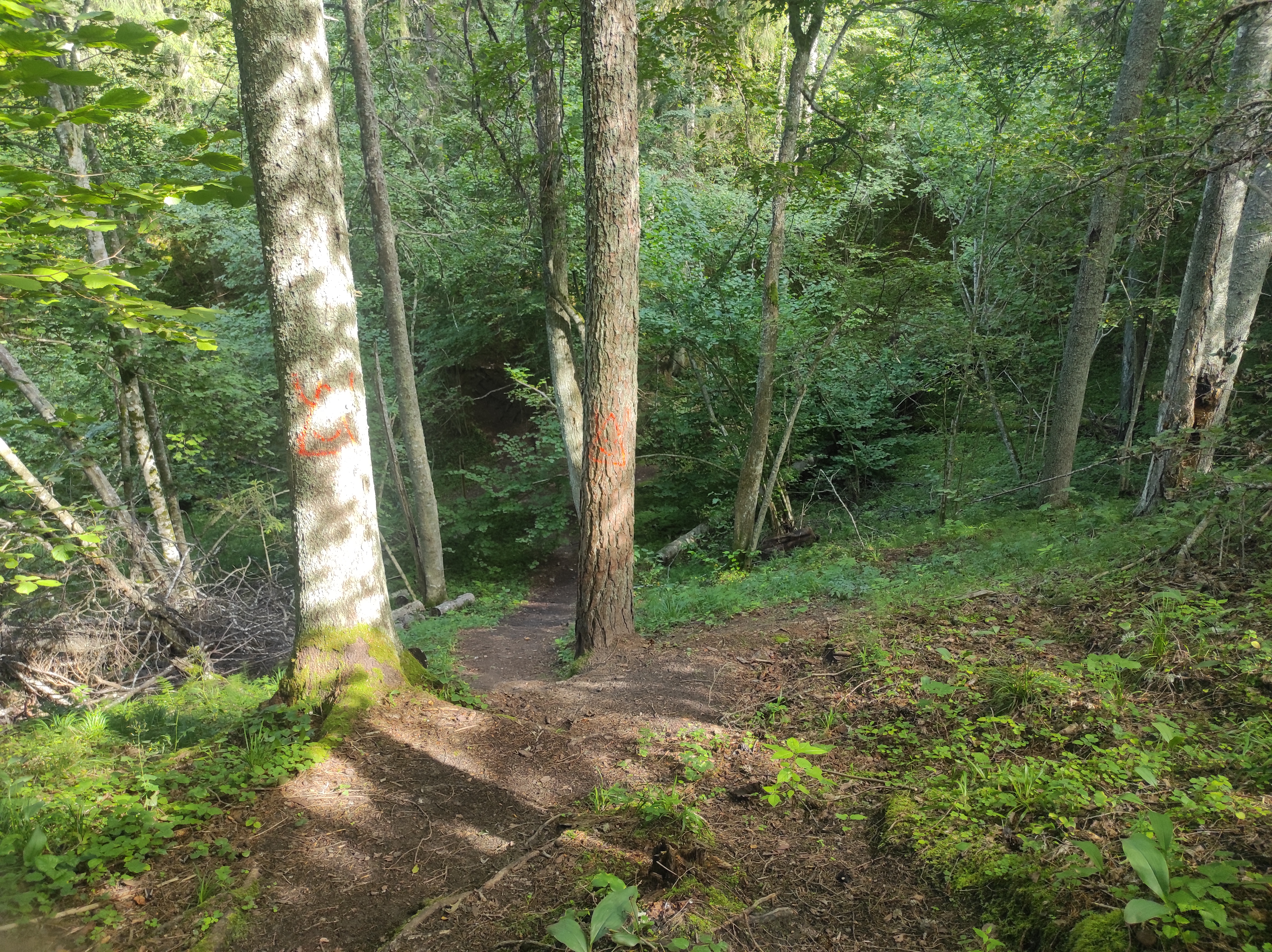
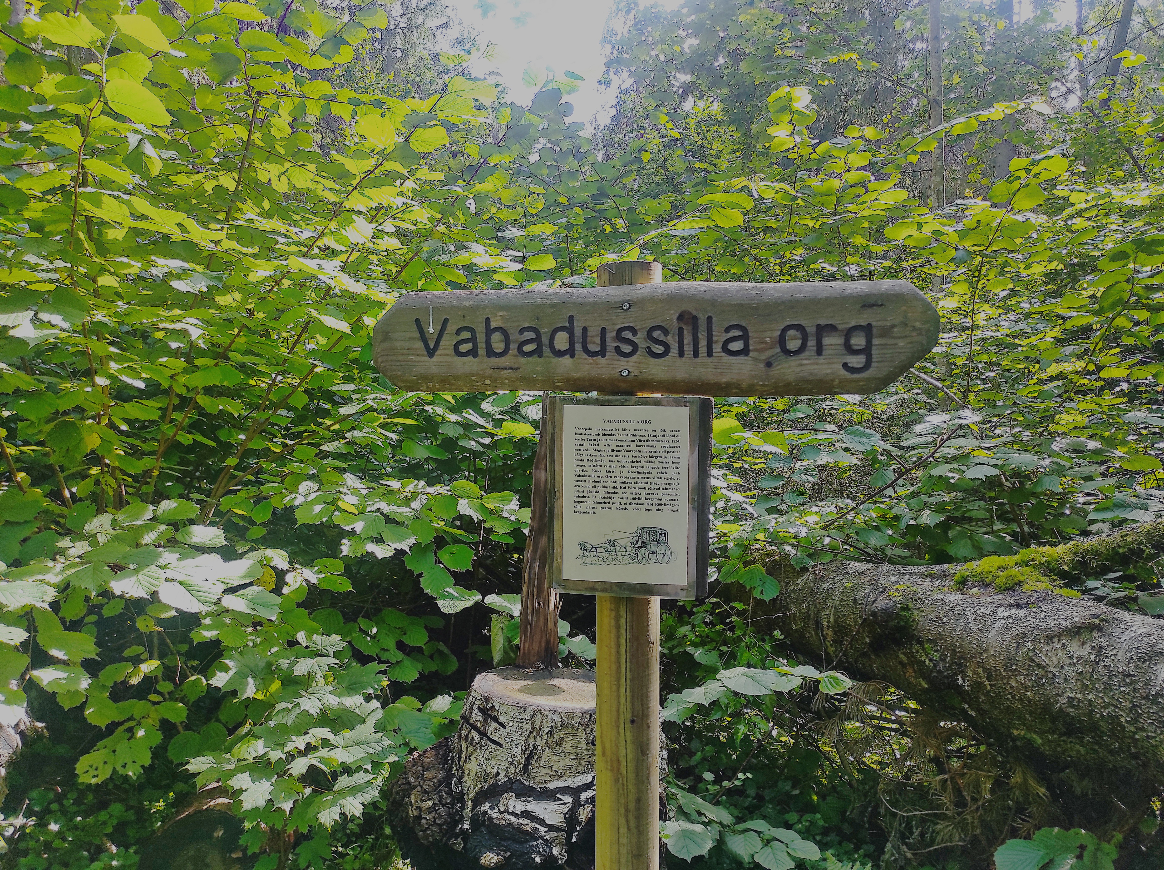
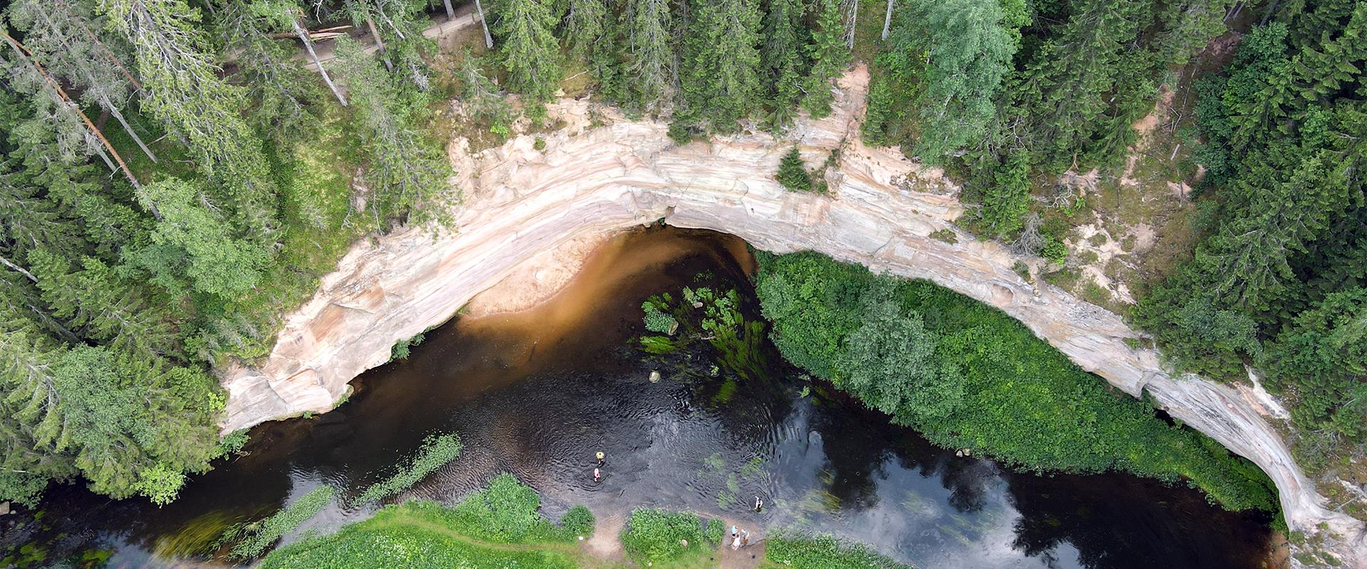
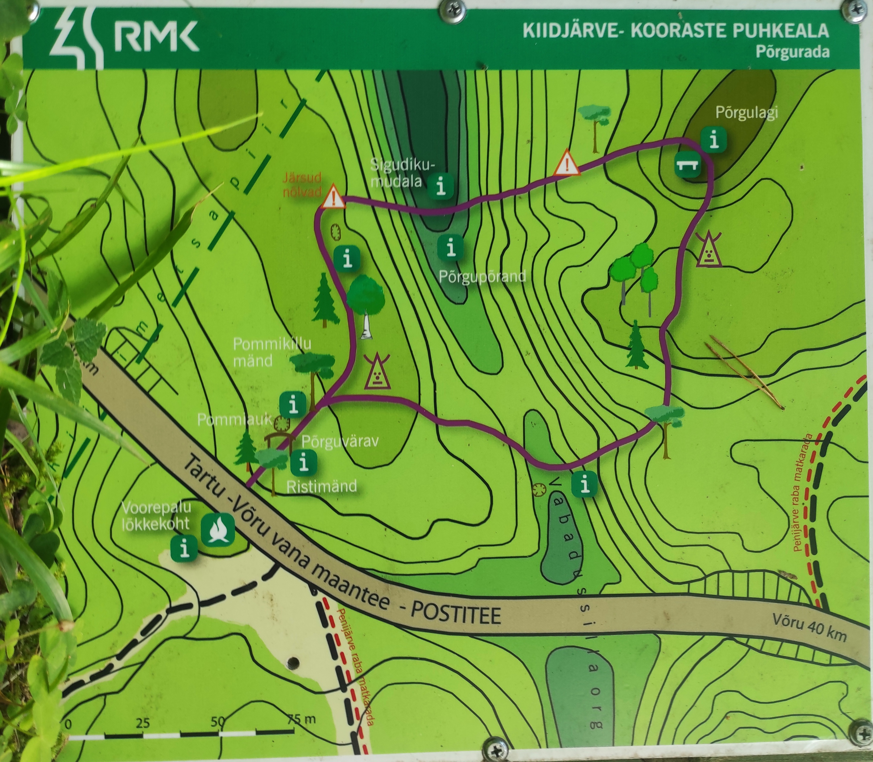
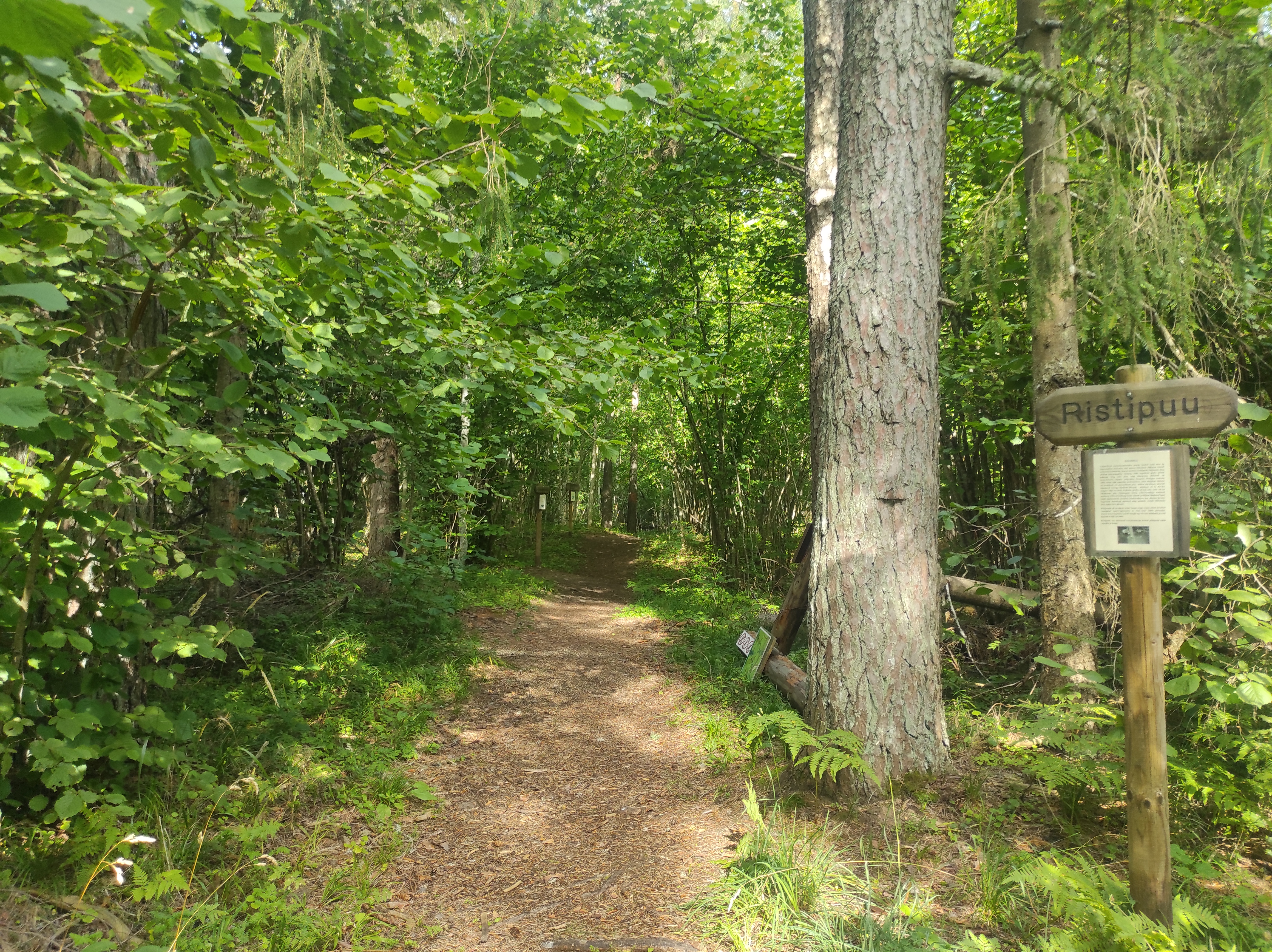
The hiking trail, which is suitable for a pleasant walk, starts on the other side of the road opposite the Voorepalu campfire site and runs along an extremely varied landscape with several steep ascents and descents. The trail has information boards introducing past events and folklore and the highest point of the trail has a table and benches for resting. Rope railings have been installed on the steep slopes of the trail.The historical Postal Road runs between the campfire site and the hiking trail. Ristimänd tree and many other exciting places are on the trail with a varied landscape. Two cars can park at the campfire site.

Amenities

  • Information boards
  • Free parking

Open times

1. apr - 31. okt

Around the Clock

Contact

  • +372 676 7122
  • info.kiidjarve@rmk.ee

Links

rmk.ee

See more

  • Camping sites
  • Lookout towers
  • Hiking Trails

Meenikunno hiking trail

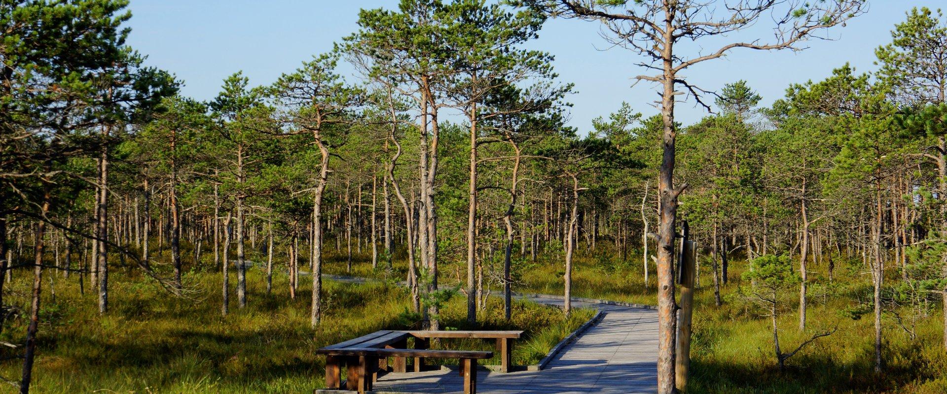
Cabins for hikers, an observation tower and a boardwalk attract many nature lovers to the Meenikunno bog. It is a beautiful recreation area. While walking down the boardwalk, you can see the most common bog plants: leather leaf, bog rosemary, crowberry, Marsh Labrador tea, and tussock cottongrass; at the edge of the bog, dwarf birches can also be found. There are also a number of different species of peat moss of various colours. The bravest hikers can try drinking bog water (it has an interesting taste!) from the overgrown ditch near the edge of the bog.Good to know: The boardwalk is pram and wheelchair accessible.

  • Camping sites
  • Hiking Trails

Soontaga hiking trail

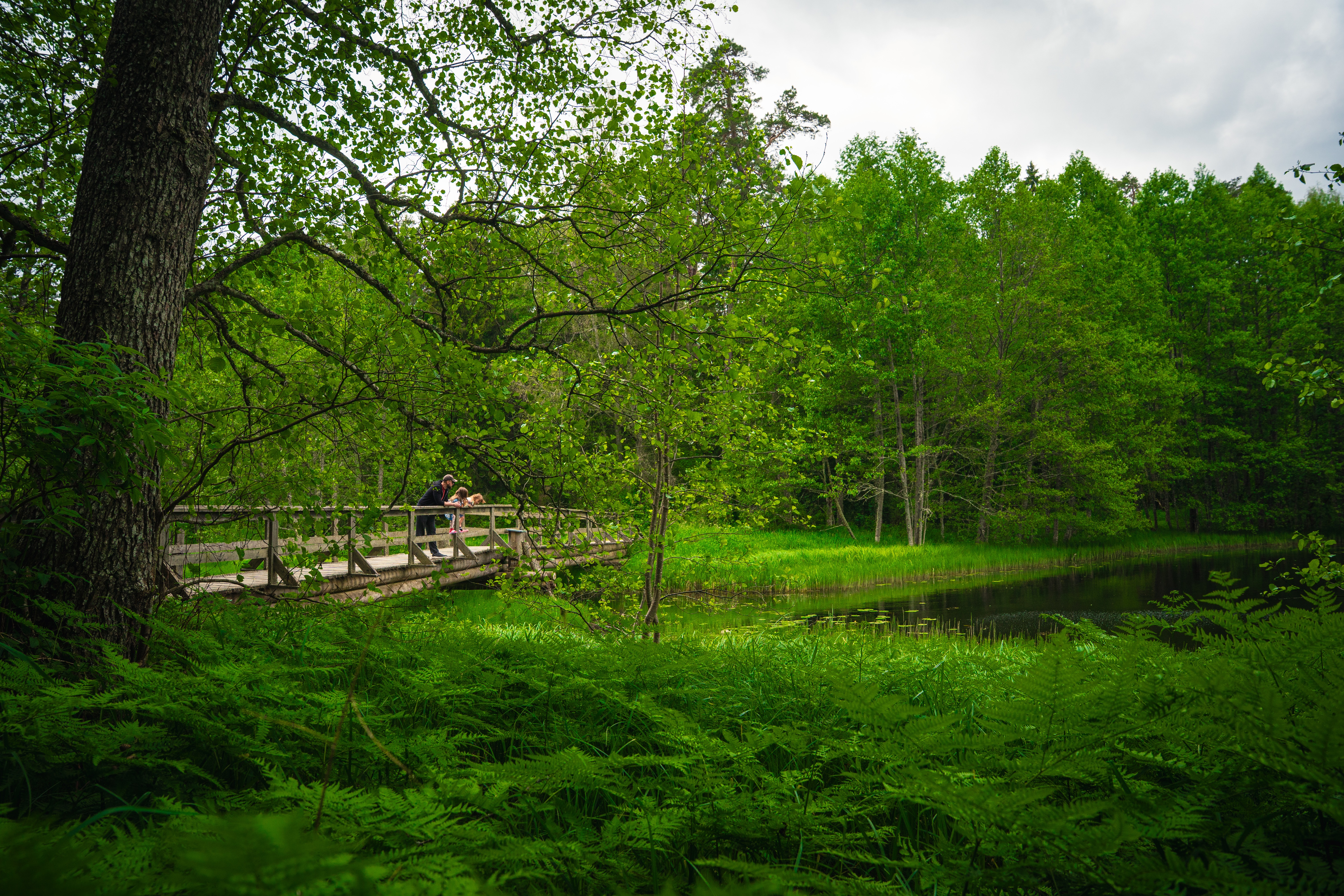
The Soontaga hiking trail is located at Kiidjärve-Kooraste recreation area. The hiking trail runs along the typical Southern Estonian mixed forests and arrives at the Väike-Emajõgi river. The hiking trail, which can be completed on foot, runs in a circle.There are several information boards at the hiking trail, which describe the nature of the area. The beautiful bodies of water at the hiking trail are equipped with bridges. In addition to the hiking trail there is the Soontaga campsite with campfire places at the recreation area.If you visit the hiking trail during the season, you might find forest berries or mushrooms on our journey.

  • Hiking Trails

Tõrvandu forest study trail

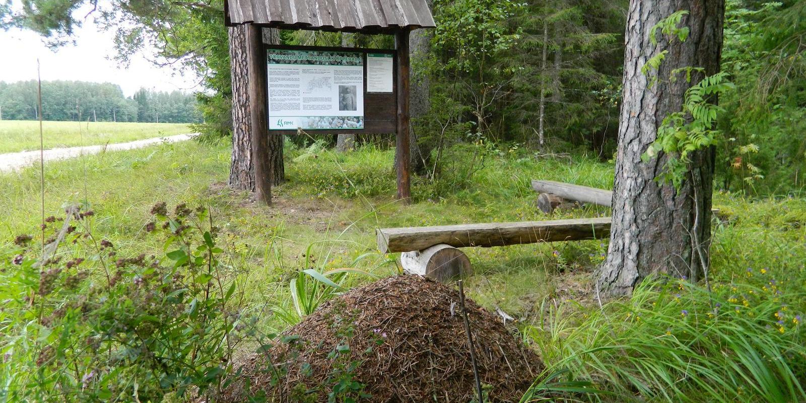
The 3 km Tõrvandu forest study trail starts at a crossroads about 400 metres from Pähni Nature Centre. This marked and explained hiking trail is meant for everyone interested in the forest. There are campfire grounds, camping area and shelters on the trail. The 25 observation points of the trail are also permeable by car.

  • Hiking Trails

Vällamäe hiking trail

Vällamäe 3,3 km long hiking trail offers a unique elevation change in Estonia. Vällamägi is Estonia's second highest hill, covered with ancient forest and steep slopes, with an elevation of 303.9 m above sea level. However, considering the 84 meters measured from the base to the peak, Vällamägi is the highest in relative height in Estonia. The slopes of the hill are very steep in places (incline of 35-40 degrees). Since 1992, Vällamäe forests have been designated as a spruce gene pool reserve. As you move along the trail, steep ascents and descents alternate, offering both a physical challenge and breathtaking views of the ancient forest shelters. The climb to the peak may momentarily make you feel like you've arrived in the mountains, not Haanja. The charm of Vällamäe lies in its primordial silence and touch of nature – you won't find crowded hiking trails here. Each season adds its own character to the trail: in spring, the air is filled with birdsong, in summer you may find berries in the forest, in autumn colorful leaves and an abundance of mushrooms delight the eyes, and in winter the slopes are covered with a dense layer of snow in silence.

  • Hiking Trails

Karula National Park and the visitor centre by the Lake Ähijärv

Karula National Park is Estonia's smallest national park, characterized by a hilly landscape rich in lakes, with 60 lakes on the highland. The national park is open to everyone: families, backpackers, and nature enthusiasts, offering various opportunities for relaxation and hiking. At the visitor center located by Lake Ähijärv, you can get information about the opportunities available in the national park, and the permanent exhibition there introduces the history, nature, folk culture of the Karula region, as well as the modern lifestyle. The heart of the national park is Lake Ähijärv, which is ideal for boating, swimming, and enjoying nature. Hiking enthusiasts are awaited by well-maintained trails that lead through forests, wooded meadows, and hilly landscapes, offering views unique to Karula. Popular destinations include the Rebäse hiking trail, Lüllemäe observation tower, and Kaika hillocks, which offer a great view of the rolling landscape. The national park has plenty of camping and bonfire sites, as well as natural swimming spots, making it suitable for both day trips and longer vacations.

  • Family friendly
  • Lookout towers
  • Hiking Trails

Ööbikuorg valley and Rõuge lakes

The Rõuge primeval valley, which is 10km long and 52m deep, contains seven lakes: Kahrila Lake, Tõugjärv, Ratasjärv, Kaussjärv, Rõuge Suurjärv, Liinjärv, and Valgjärv. The lakes are connected by the Rõuge or Ajo River, which starts from the Tindi valley. The side valleys of the Rõuge primeval valley are Tindi, Külm, Mõhk, Ööbikuorg, Tinopeetri, Hinni, Sikasoo, and Järveotsa valleys. The most famous of these is Ööbikuorg, which borders the ancient hillfort from the north. In spring, during the blossoming of bird cherry trees, the valley resonates with the song of nightingales – hence the name of the valley. Several hiking trails run through Rõuge, including the popular Ööbikuorg hiking trail, which takes visitors through the primeval valley, past lakes and springs. The trail is suitable for families with children and is partially accessible by bicycle. In summer, you can swim and paddle in the lakes, while in winter, the same trails are enjoyed by skiers and sledders. In the Rõuge settlement, there is also Estonia's deepest lake – Rõuge Suurjärv (38m) – and the largest Nature Clock in Estonia, whose hands mark the passage of time in nature's rhythm.Good to know: At the edge of Ööbikuorg, there is a visitor center and the Pesapuu observation tower, which offers a view of the entire valley.
  • Hiking Trails

Kirna hiking trail

Kirna’s 6.8 km study trail provides a good opportunity to explore the Pedja River meadows and forest. To gain a better view of the meadows and river, the Altmetsa Farm has an observation tower. A suspension bridge helps to cross the river. On the right bank of the Pedja River, you will find the magnificent oak tree Musutamm. The trails of wild boars and beavers can also be seen on the study trail.While on the trail, you might hear gunfire as the Kirna Training Centre of the Defence League is close by. The access roads to the meadows intersect the study trail in several places, please carefully follow the trail marking!

  • Hiking Trails
  • Birdwatching

Large and Small Taevaskoda sandstone outcrops

The two Taevaskoda outcrops on the banks of the ancient valley of the Ahja River are one of the most frequently visited sites in southern Estonia. The sandstone outcrops and the ancient river form the most beautiful part of the Ahja River Landscape Reserve. Legends speak of caves, secret passageways and of demons and a mermaid with a golden comb. A walk from the Saesaare dam to the Small Taevaskoda outcrop, the Emaläte spring, the Neitsikoobas cave and the Large Taevaskoda outcrop, which rises 22.5 metres above the river, is worth undertaking in every season. The beautiful and exciting natural setting attracts hikers – it is a place that every Estonian visits at least once in their life!

  • Collaboration
  • News
  • Contacts
  • Privacy Policy
Join our mailing list!

"*" indicates required fields

This field is for validation purposes and should be left unchanged.
I authorise marketing

South Estonia Tourism Cluster

info@visitsouthestonia.com