• Explore
    • Nature
    • Culture
    • Food
    • Family
    • Activity
    • Blog
    Smoke sauna
    Weather and seasons
  • Plan
    • Accommodation
    • How to get here
    • Weather and seasons
    • Sustainability
    • Tourist info
    Discover South Estonia’s Most Beautiful Manors and Castles
    Top 20 Sights in South Estonia
  • For professionals
    • For professionals
    • Collaboration
    • News
    • Projects
    • Training
    • Repository
    • Community (opens in new tab)
    • Contacts
ENG
  • EnglishENG
  • EestiEST
  • LatviešuLAT
  • РусскийRUS
  • SuomiFIN
ENG
  • EnglishENG
  • EestiEST
  • LatviešuLAT
  • РусскийRUS
  • SuomiFIN
Popular searches:
Show all
  • Nature and Activities
  • Nature
  • Hiking Trails
  • Birdwatching

Large and Small Taevaskoda sandstone outcrops

Põlva vald, Põlva maakond, 63229

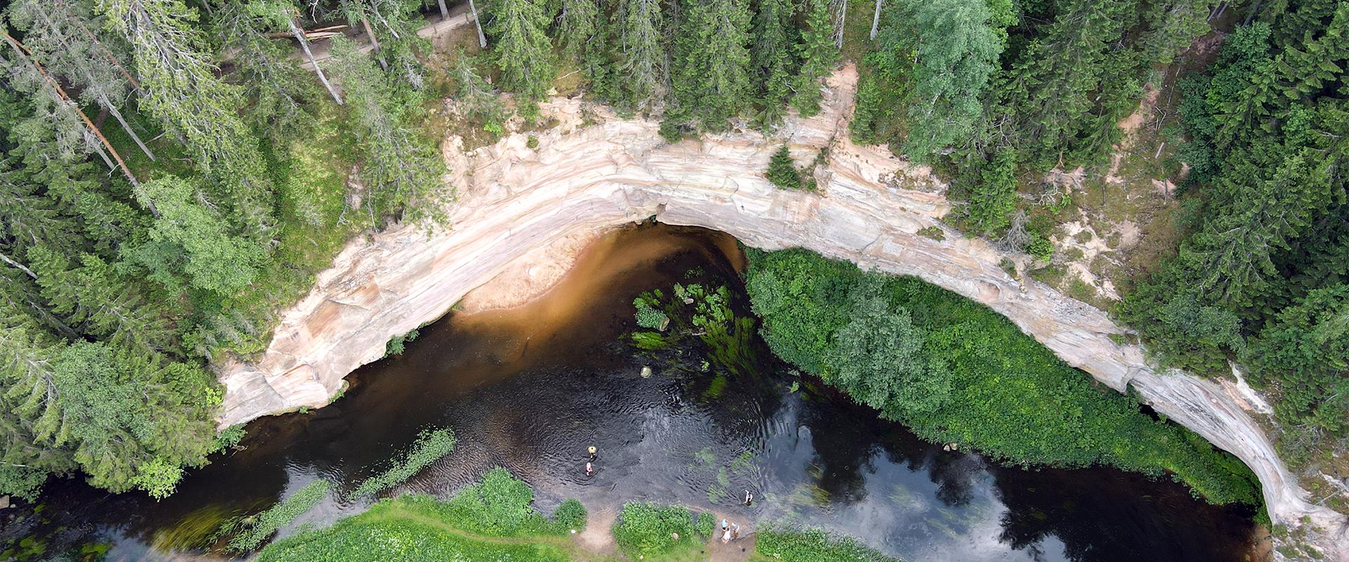
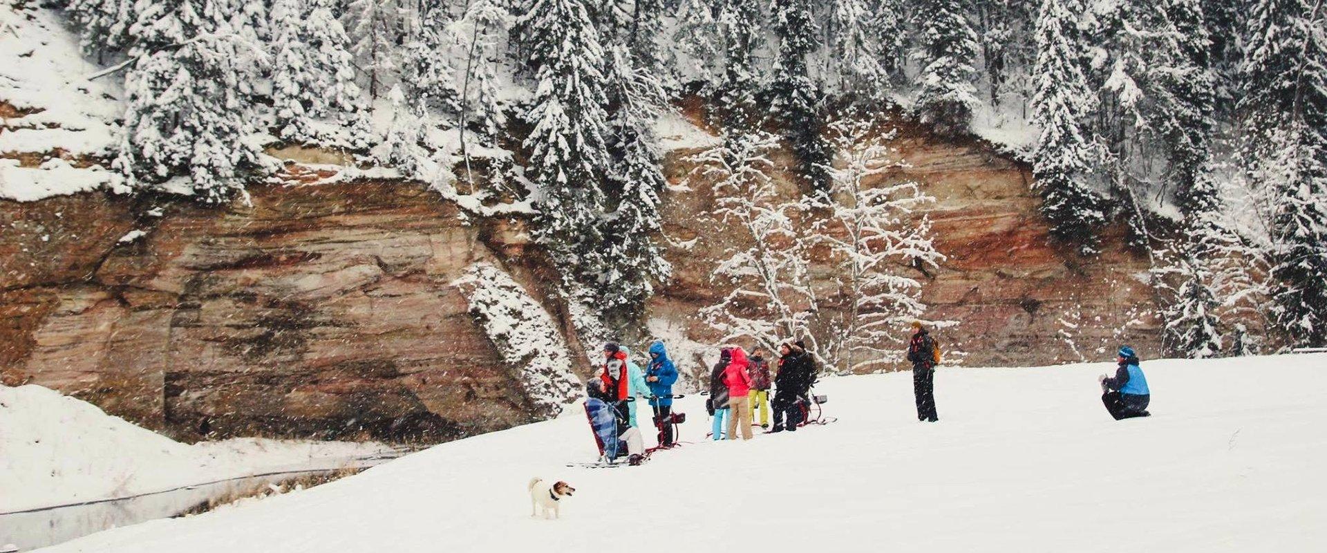
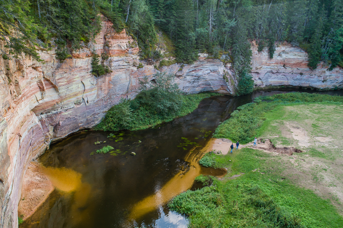
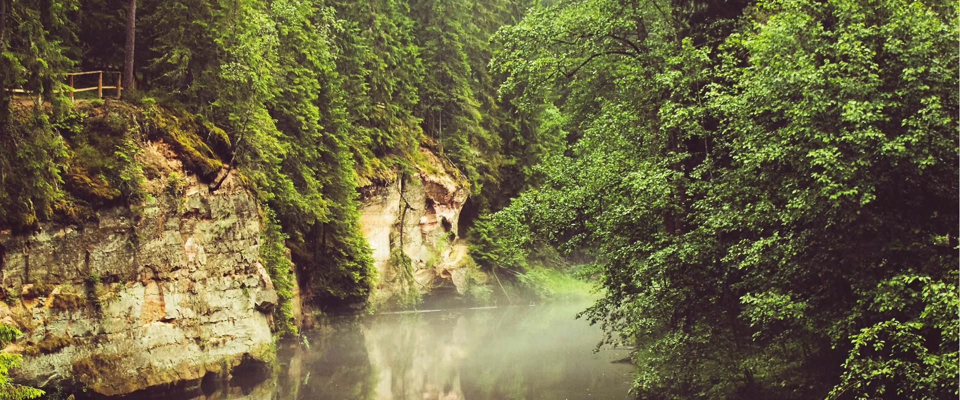
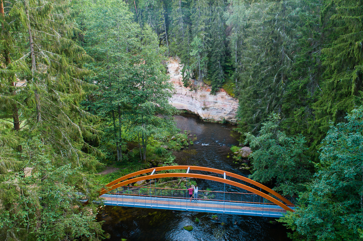
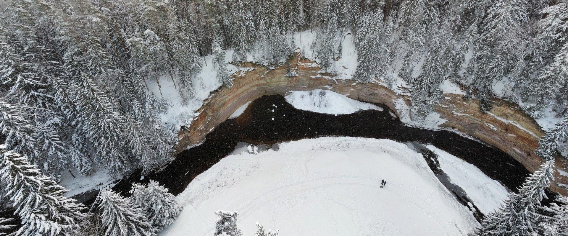
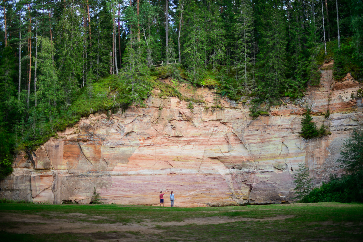
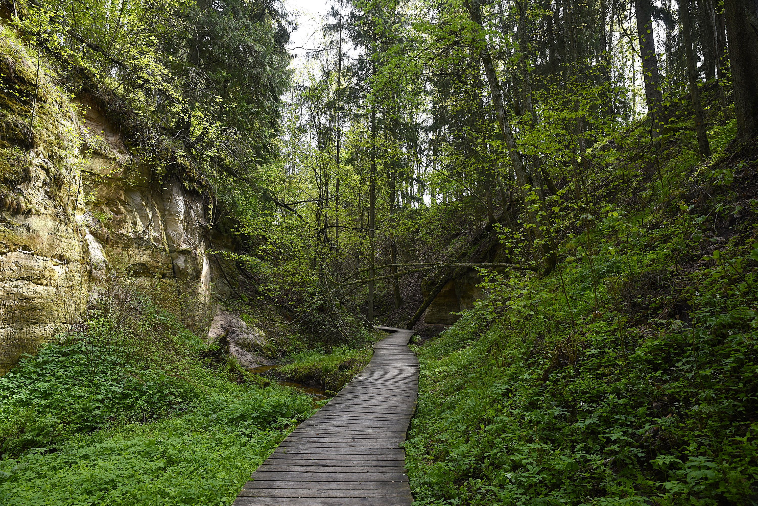
The two Taevaskoda outcrops on the banks of the ancient valley of the Ahja River are one of the most frequently visited sites in southern Estonia. The sandstone outcrops and the ancient river form the most beautiful part of the Ahja River Landscape Reserve.
Legends speak of caves, secret passageways and of demons and a mermaid with a golden comb. A walk from the Saesaare dam to the Small Taevaskoda outcrop, the Emaläte spring, the Neitsikoobas cave and the Large Taevaskoda outcrop, which rises 22.5 metres above the river, is worth undertaking in every season.
The beautiful and exciting natural setting attracts hikers – it is a place that every Estonian visits at least once in their life!
 

Amenities

  • Information boards
  • Drop Toilet
  • Free parking

Open times

1. apr - 31. okt

Around the Clock

Contact

  • +372 676 7122
  • info.kiidjarve@rmk.ee

Links

rmk.ee

See more

  • Camping sites
  • Family friendly
  • Hiking Trails

Fairy Trail

The Fairy Trail, also known as the Vitipalu Adventure Trail, offers a fairytale experience for both children and adults. The trail takes you through the mushroom and berry forests of Elva, where Witch Island awaits, featuring the lovely "Little Witch" house, cool tree sculptures, and a low-adventure trail built in the middle of the forest, perfect for children and families to have a great time in nature. The 1.4 km long trail, part of which is accessible with a stroller, intersects with the Elva River's primeval valley hiking trail and introduces the diverse landscape of Elva. The trail starts and ends at the RMK Jõeharu picnic area and camping site, where several shelters with grills and campfire sites are available.

  • Hiking Trails

The Baltic Forest Trail

The Baltic Forest Trail is a hiking trail over 2,000 km long running through the Baltic States, of which 720 km are available for hiking in Estonia. The trail is divided into 50 one-day sections, each approximately 20 km long and marked with signposts. The trail sections have different difficulty levels so everyone can choose the most suitable one for themselves! The hiking trail passes through forested areas and two national parks, Lahemaa and Alustaguse National Parks. Along the way, you can observe trees of different species and places connected to historical events or legends. The trail is well-suited for bird and animal watching. The Baltic Forest Trail is part of the international European long-distance trail E11.

  • Hiking Trails

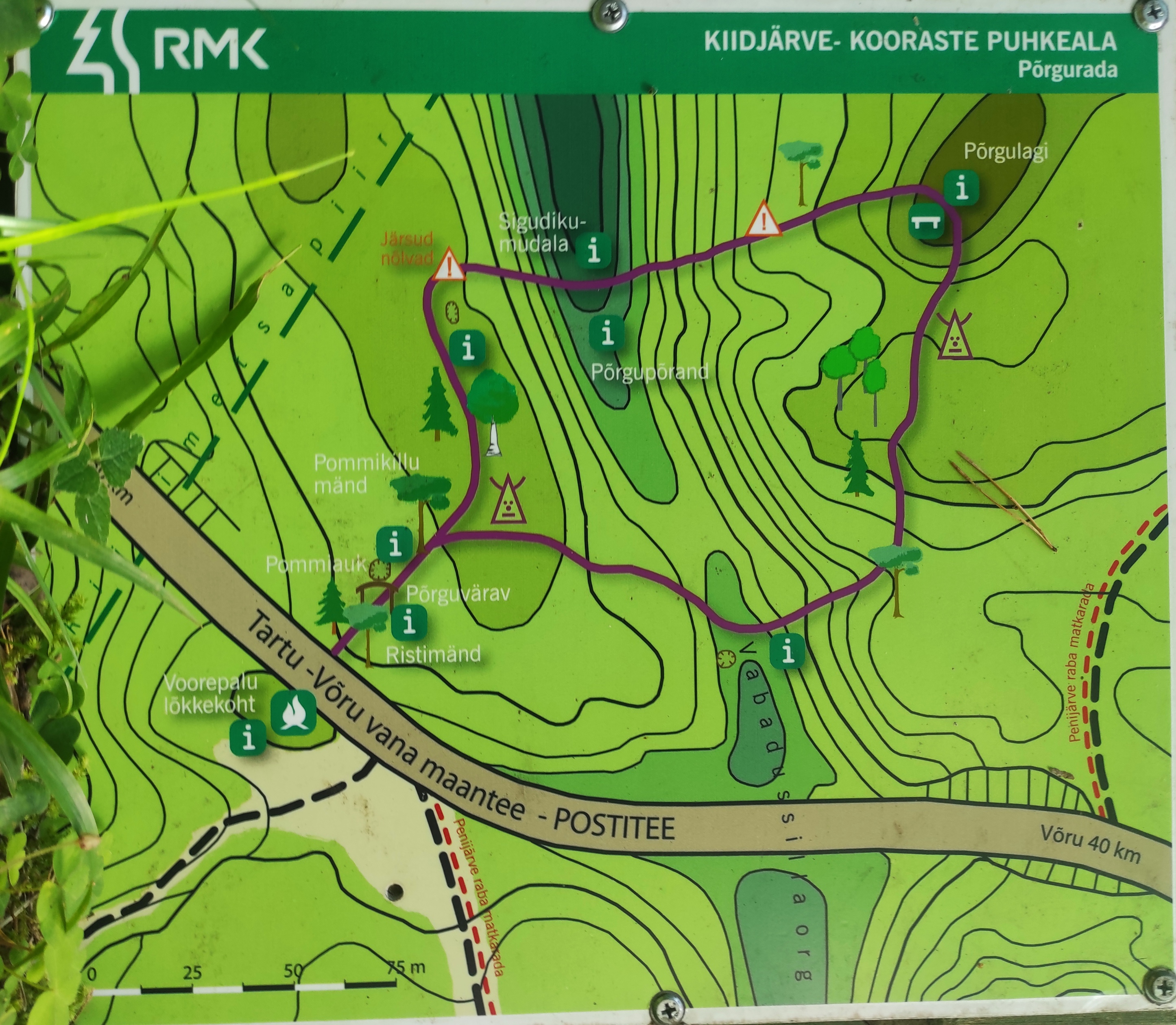
Wood Ants’ Trail of Kiidjärve

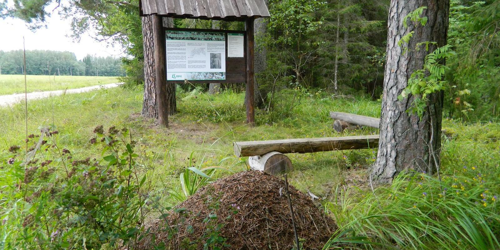
Among the approximately 1 km study trail introducing the life of wood ants, the hiker can feel like a giant in the minuscule world of ants. In an area of 20 hectares there are 200 ant hills, the biggest of which is 1.7 m high; you can also admire the record-high spruce (42 m). The trail has signs, information boards, and bridges crossing ant highways.The trail is for walking only. While hiking on the trail near ant hills, use only the bridges installed there. The Laari forest study trail starts on the other side of the railway.The civilisation of ants offers an experience for both children and adults.

  • Hiking Trails

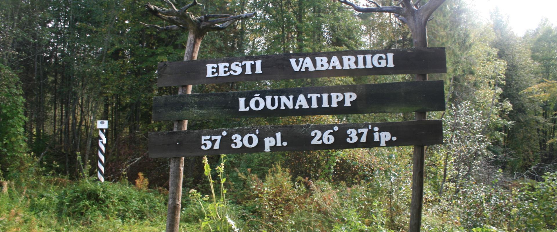
A nature study trail in the southernmost point of Estonia

Drive along the Võru-Valga highway from Saru to Kuutsi-Tiitsa-Karisöödi-Ura-Naha (about 14 km). The trail is about 4.8 km long and it takes a couple of hours to walk it through. The trail starts under the oak-tree with a perimeter of about 4 metres in Naha farm and runs very close to the state border, so make sure you take your ID with you. Interesting to know: you cannot put your foot down on the southernmost point, as the geographically correct southernmost point of Estonia is situated about 5 steps away from the marked spot, just in the middle of the Peetri River.

  • Hiking Trails

Sangaste forest park trail

The 3-kilometre-long Sangaste forest park trail is located in Kiidjärve-Kooraste Recreation Area and starts from the forest park behind the Sangaste Castle.The trail introduces the forest park, founded by Count Friedrich Magnus Berg, where nearly a few hundred different species of trees and shrubs are represented. The trail has signs, stairs, bridges, and information boards that introduce the forest park and the various species of trees. There's also a campfire site on the trail with a fire pit, benches, a toilet, and a wood shed, which can also be used as a shelter.Interesting fact: Estonia's tallest, a 42-metre-tall Douglas tree grows in the park. It's possible to visit the Sangaste Castle during opening hours.

  • Hiking Trails

Hiking trail Green Railways Valga / Valka–Ape

The Valga/Valka–Ape narrow gauge railway was opened to traffic in 1900 and the last trains ran here in 1970.Today, most of the old railway embankment is used as a hiking trail that runs through forests and fields on gravel and dirt roads.On the Valka–Žuldin and Koikküla–Hargla section, the trail is redirected to larger roads, because the former railway dam is mostly impassable there.Many old railway photographs and historical stories related to the railway have been attached to the old sleepers on the railway dam.There is a resting place in Hargla.

  • Hiking Trails

Tiksoja hiking trails and campfire sites

The Tiksoja hiking trails located near Tartu are suitable for families, amateur athletes and dog owners. The 1-2km circle-shaped trails start from the Tiksoja campfire site parking lot. The versatile trails run along forest paths. The 700-meter trail with compacted gravel cover you will be able to walk with a baby carriage or wheelchair. The 1-kilometre trail features activity areas for children and a fenceless area for dogs, the 2-kilometer trail features an outdoor gym. The trails are characterised by various bridges and crossings, a boardwalk and information boards located at interest points.You can rest at the Tiksoja campfire site with two roofed bench-tables and campfires with grilling griddles.

  • Hiking Trails

Lake Viti hiking trail and observation tower

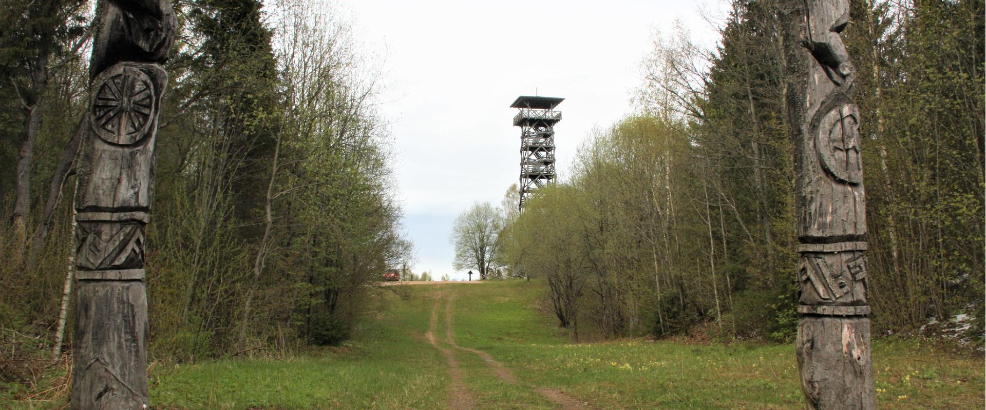
The Lake Viti hiking trail is a nature trail that passes through an exciting hilly forest landscape. The trail information boards provide information about the Vitipalu forests, the woodpeckers that inhabit them, their nesting sites, the ant kingdom, and more. The trail features a hiking hut, a campfire site, Viti Lake, a 20-meter-high wooden observation tower overlooking the surrounding greenery, and a pleasant picnic spot with shelters. The Lake Viti trail is suitable for hikers of all ages, but it is not suitable for strollers or wheelchairs. The Lake Viti hiking trail begins and ends at the trail parking lot. The trail is marked with yellow stripes.

  • Collaboration
  • News
  • Contacts
  • Privacy Policy
Join our mailing list!

"*" indicates required fields

This field is for validation purposes and should be left unchanged.
I authorise marketing

South Estonia Tourism Cluster

info@visitsouthestonia.com