• Explore
    • Nature
    • Culture
    • Food
    • Family
    • Activity
    • Blog
    Smoke sauna
    Weather and seasons
  • Plan
    • Accommodation
    • How to get here
    • Weather and seasons
    • Sustainability
    • Tourist info
    Discover South Estonia’s Most Beautiful Manors and Castles
    Top 20 Sights in South Estonia
  • For professionals
    • For professionals
    • Collaboration
    • News
    • Projects
    • Training
    • Repository
    • Community (opens in new tab)
    • Contacts
ENG
  • EnglishENG
  • EestiEST
  • LatviešuLAT
  • РусскийRUS
  • SuomiFIN
ENG
  • EnglishENG
  • EestiEST
  • LatviešuLAT
  • РусскийRUS
  • SuomiFIN
Popular searches:
Show all
  • Nature and Activities
  • Nature
  • Hiking Trails

Tõrvandu forest study trail

Rõuge vald, Võru maakond, 66116

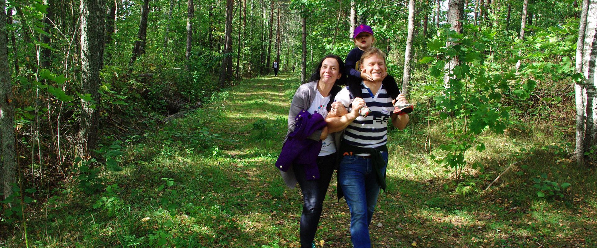
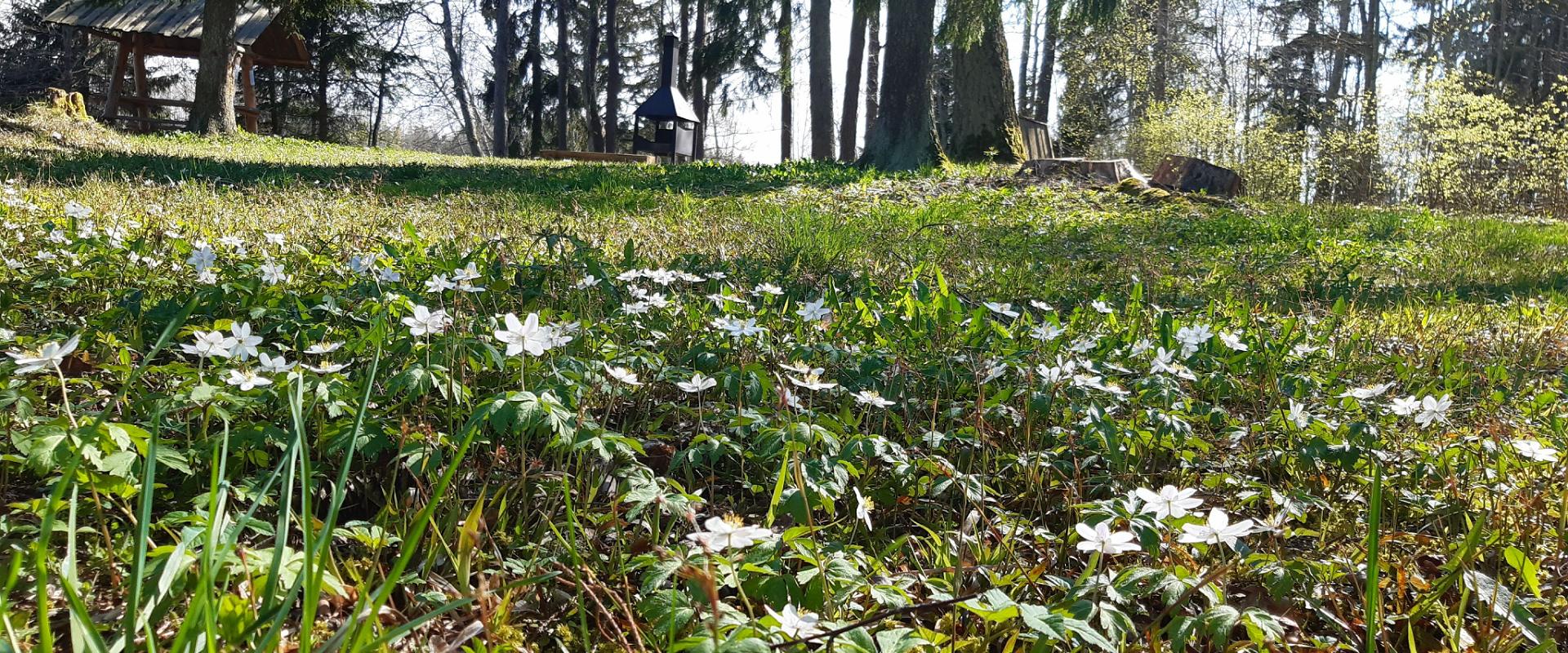
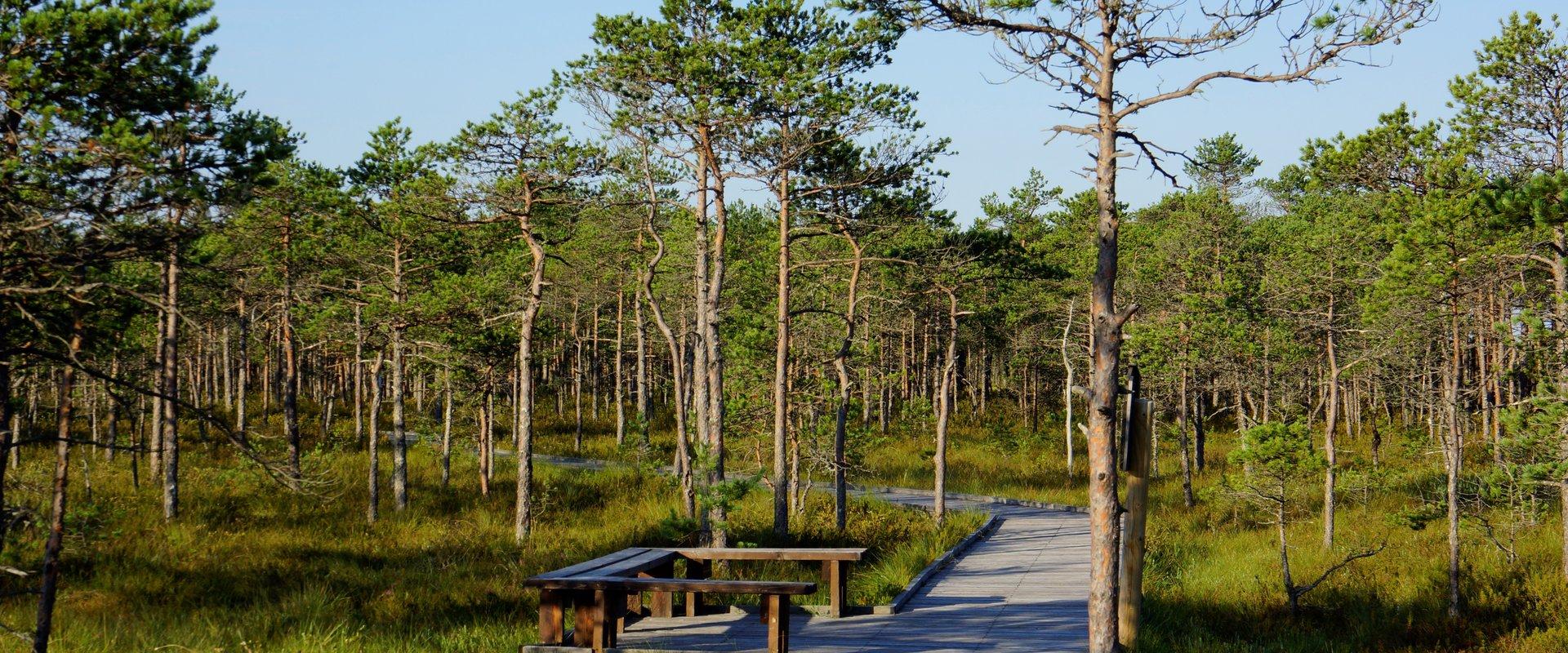
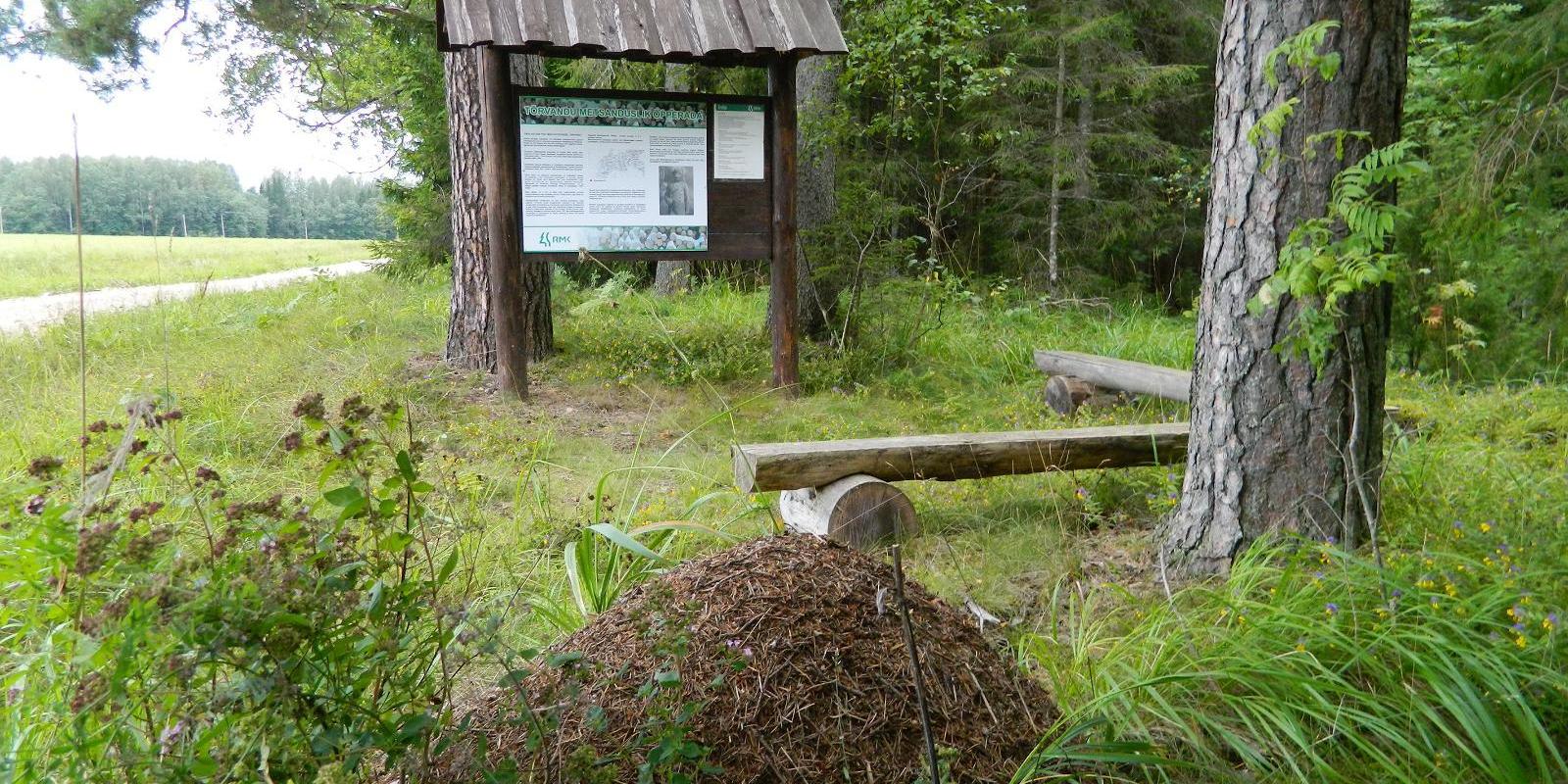
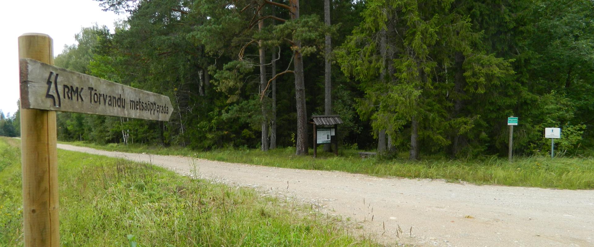
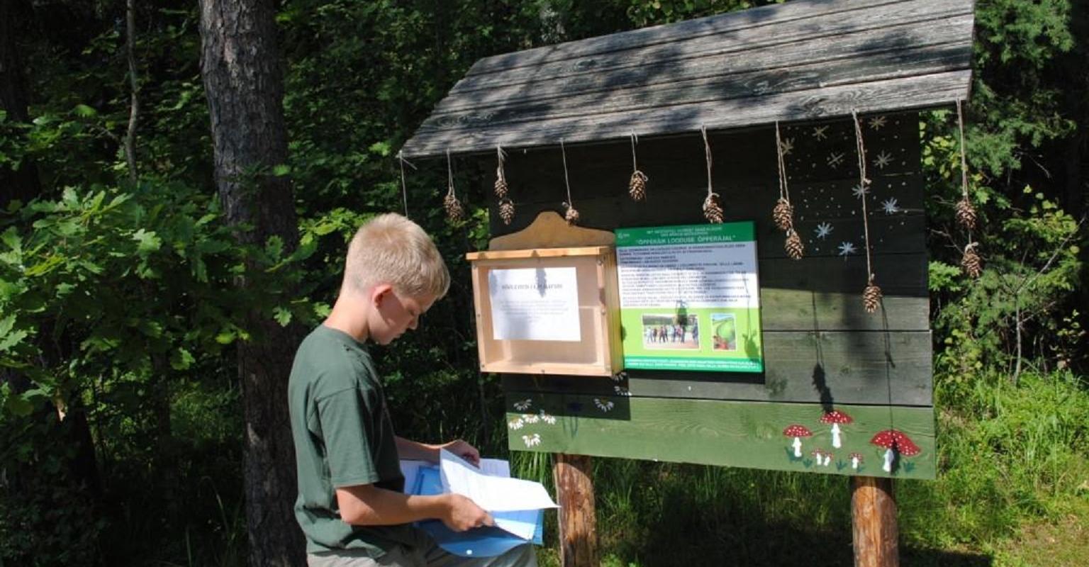
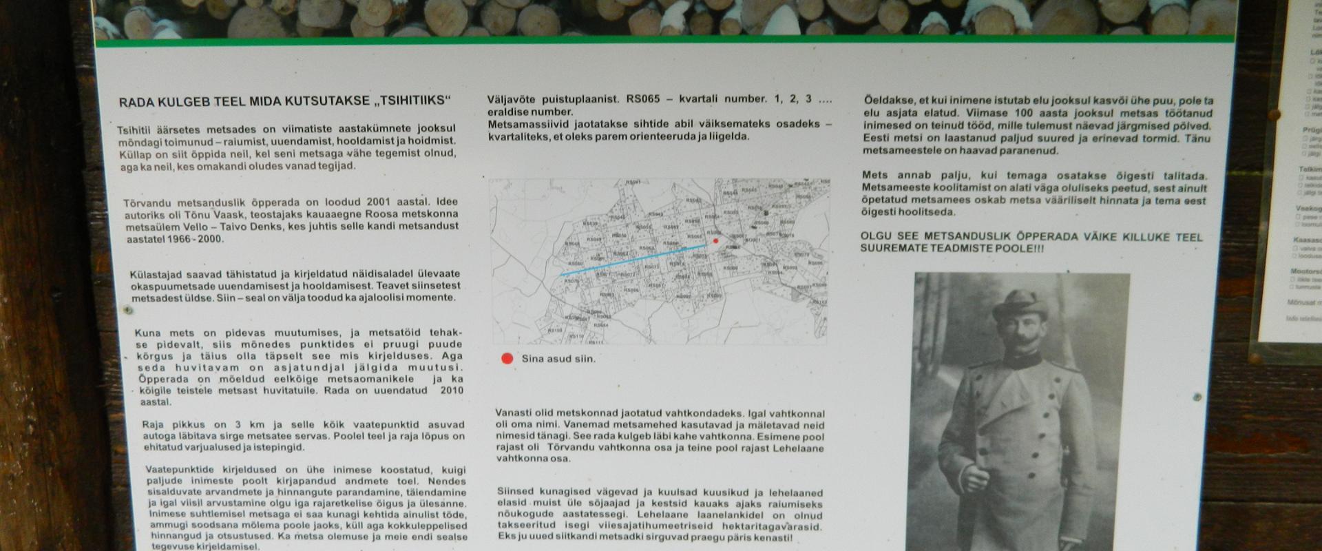
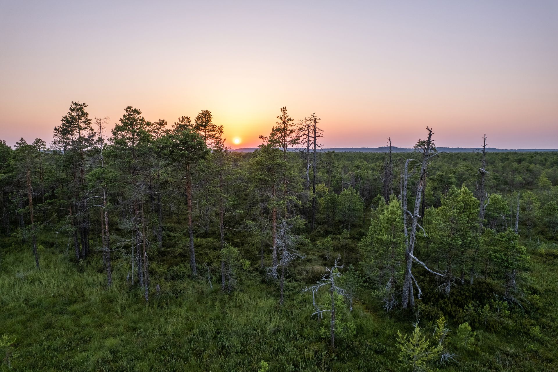
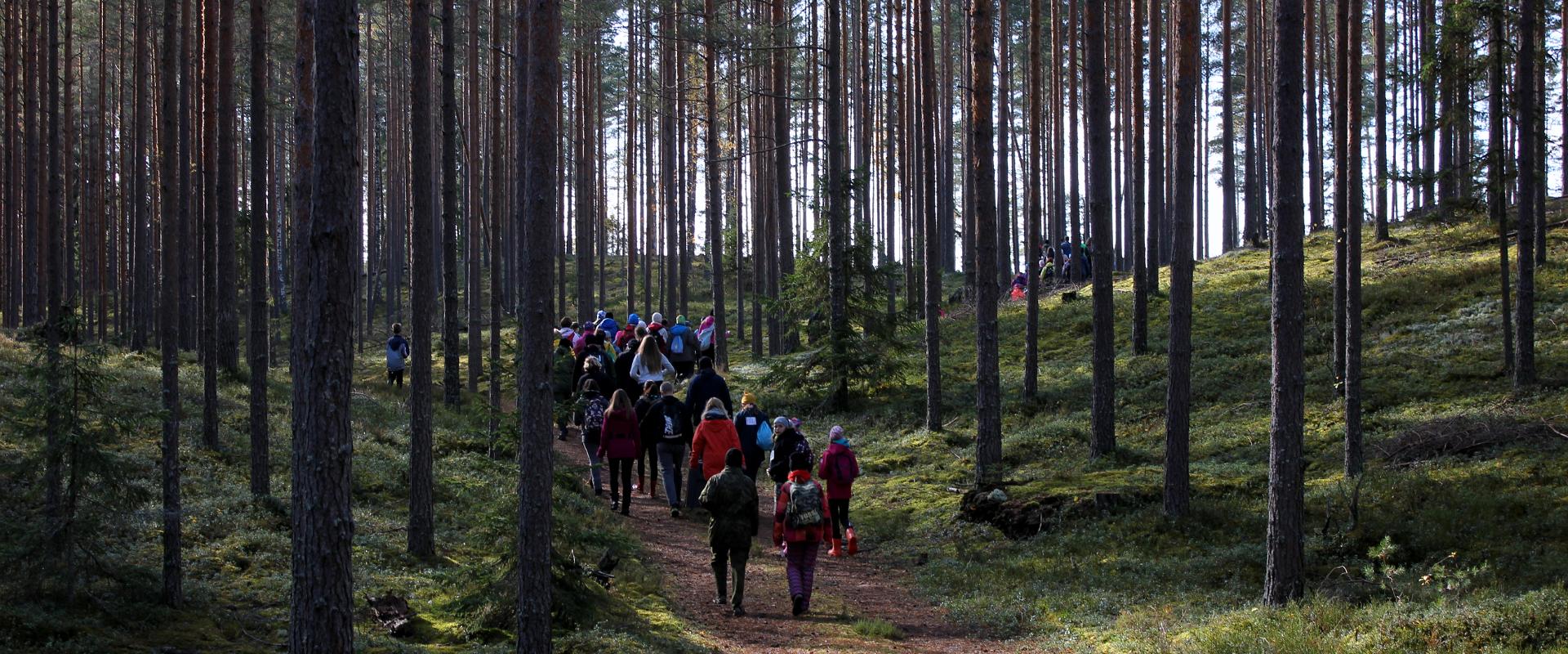
The 3 km Tõrvandu forest study trail starts at a crossroads about 400 metres from Pähni Nature Centre. This marked and explained hiking trail is meant for everyone interested in the forest. There are campfire grounds, camping area and shelters on the trail. The 25 observation points of the trail are also permeable by car.
Amenities

  • Information boards
  • Free parking

Open times

Throughout the Year

Around the Clock

Contact

  • +372 501 9564
  • info.pahni@rmk.ee

Links

loodusegakoos.ee

See more

  • Hiking Trails

RMK Voorepalu Põrgurada trail

The hiking trail, which is suitable for a pleasant walk, starts on the other side of the road opposite the Voorepalu campfire site and runs along an extremely varied landscape with several steep ascents and descents. The trail has information boards introducing past events and folklore and the highest point of the trail has a table and benches for resting. Rope railings have been installed on the steep slopes of the trail.The historical Postal Road runs between the campfire site and the hiking trail. Ristimänd tree and many other exciting places are on the trail with a varied landscape. Two cars can park at the campfire site.

  • Hiking Trails

The Baltic Forest Trail

The Baltic Forest Trail is a hiking trail over 2,000 km long running through the Baltic States, of which 720 km are available for hiking in Estonia. The trail is divided into 50 one-day sections, each approximately 20 km long and marked with signposts. The trail sections have different difficulty levels so everyone can choose the most suitable one for themselves! The hiking trail passes through forested areas and two national parks, Lahemaa and Alustaguse National Parks. Along the way, you can observe trees of different species and places connected to historical events or legends. The trail is well-suited for bird and animal watching. The Baltic Forest Trail is part of the international European long-distance trail E11.

  • Camping sites
  • Hiking Trails
  • Beaches

Pikksaare hiking trail and Pangodi campfire site

The Pikksaare hiking trail begins at the swimming and camping area by Lake Pangodi. While walking along the hiking trail, you can enjoy peace and idyllic views of the lake and the surrounding nature and make a short detour to the War of Independence Memorial. The directional signs placed along the trail will help make the hike smoother. The hiking trail passes the Pangodi campfire site, where you can take a short break, as there is a shelter, a barbecue area, a nice swimming spot, and opportunities for camping. Come and spend a nice day in nature with your family or friends!

  • Hiking Trails

Järvselja Primeval Forest Nature Study Trail

Järvselja nature study trail introduces the forest surrounding the centre of forestry and research. The trail is diverse and passes through a number of forests. Here, you will see the King’s pine (Kuningamänd), which is over 380 years old, as well as spruces that are more than 40 meters high – making them one of the highest trees in Estonia.The trail runs partly on a boardwalk and the route is 1–5 km long. A good starting point is either the Järvselja Hunting Lodge or the guest house, where there are information boards with a map of the trails.Järvselja study trail and the primeval forest represent one of the best locations to discover in Southern Estonia, marked with the yellow frame of National Geographic.

  • Hiking Trails

Elva primeval valley hiking trail and Illi camping area

The Elva primeval valley hiking trail is a 15.5 km long trail located in the Elva landscape protection area with alternating terrain for those who want to hike for several days. On the trail, you will find various forest landscapes, sandstone outcrops, wonderful forest lakes, Viti observation tower, floodplain meadows, trenches, beavers, and the kingdom of ants. There is also a Witch's House and Adventure Trail on the trail.The primeval valley trail starts and ends at the Tartu County Recreational Sports Centre. The scheme of the hiking trail with camping and campfire sites (including the Illi camping area) can be found HERE. The black or yellow numbers on the track indicate the kilometers travelled.Please respect the nature while you're here!

  • Lookout towers
  • Hiking Trails

Väike Munamägi Hill

Climbing to the top of Munamägi Hill is worth the effort – the view covers more than 50 km. The absolute height of Väike or Otepää Munamägi Hill is 207.5 m (relative height exceeds 80 m). There is a spring on the north-eastern slope of Väike Munamägi (in the direction of Otepää) that has been considered the start of the Väike Emajõgi River for a long time. The boulder on the edge of the first plain is the biggest in the area – 250,000 kg. Take a look at the aerial panorama (picture by Joel Tammet).

  • Hiking Trails
  • Guided tours

Kiidjärve Visitor Centre

Kiidjärve Nature Centre is located in Kiidjärve-Kooraste recreation area on the banks of the picturesque Ahja River in Kiidjärve village. It seeks to guide visitors, young and old alike, to the beautiful scenery of the area so that the forest and nature itself will reveal their secrets to a keen observer. The nature centre has information materials and information about Kiidjärve-Kooraste, other RMK recreation areas, and other various attractions. In the immediate vicinity are famous celestial Taevaskoda sandstone outcrops, Kiidjärve Formica kingdom, and the picturesque Valgesoo bog.

  • Hiking Trails

Võhandu Paddling Marathon

The 100-km-long downriver marathon runs on the Võhandu River in Võru and Põlva counties and is open all year round on ice-free days.The marathon starts from Võru town, on Lake Tamula and ends in Võõpsu village, Põlva County. The Võhandu River is surrounded by steep forest banks and numerous upright sandstone outcrops. There are several springs and spring caves in the rock walls and valleys. The Võhandu River provides a great rowing experience.Every year, on the third weekend of April, the world’s largest paddle marathon, the Võhandu Marathon, takes place on the Võhandu River, with 1,200 boats and more than 2,500 participants.

  • Collaboration
  • News
  • Contacts
  • Privacy Policy
Join our mailing list!

"*" indicates required fields

This field is for validation purposes and should be left unchanged.
I authorise marketing

South Estonia Tourism Cluster

info@visitsouthestonia.com