• Explore
    • Nature
    • Culture
    • Food
    • Family
    • Activity
    • Blog
    Smoke sauna
    Weather and seasons
  • Plan
    • Accommodation
    • How to get here
    • Weather and seasons
    • Sustainability
    • Tourist info
    Discover South Estonia’s Most Beautiful Manors and Castles
    Top 20 Sights in South Estonia
  • For professionals
    • For professionals
    • Collaboration
    • News
    • Projects
    • Training
    • Repository
    • Community (opens in new tab)
    • Contacts
ENG
  • EnglishENG
  • EestiEST
  • LatviešuLAT
  • РусскийRUS
  • SuomiFIN
ENG
  • EnglishENG
  • EestiEST
  • LatviešuLAT
  • РусскийRUS
  • SuomiFIN
Popular searches:
Show all
  • Nature and Activities
  • Nature
  • Hiking Trails

RMK Nohipalo study trail

Räpina vald, Põlva maakond, 64216

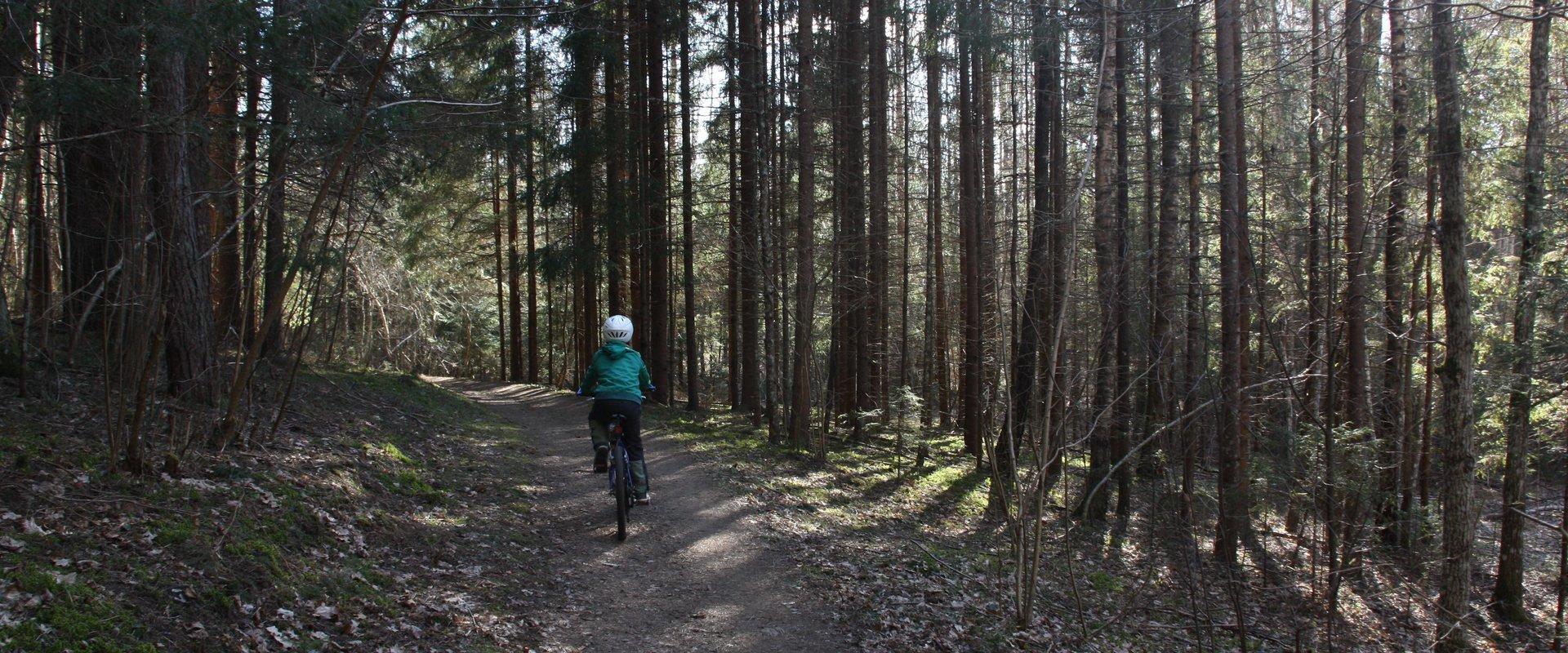
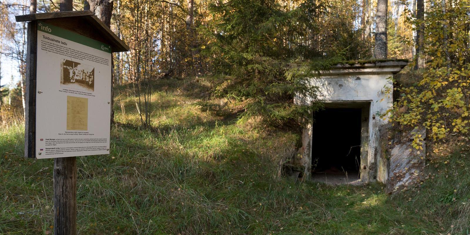
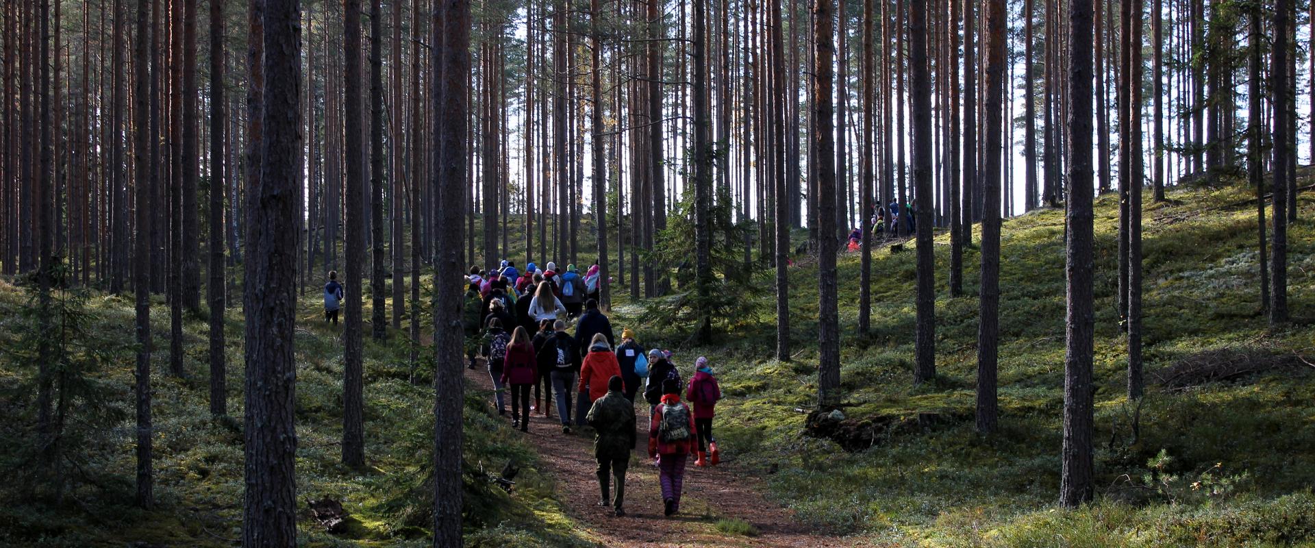
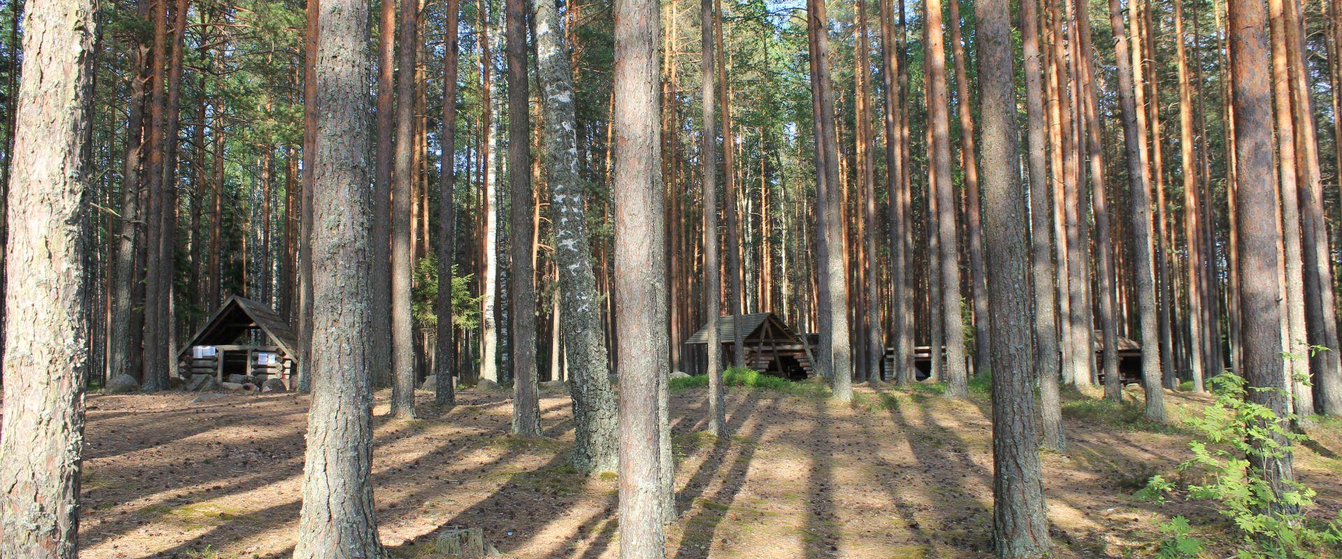
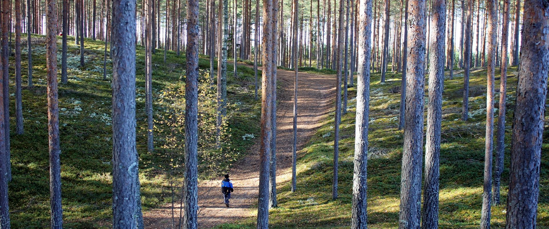
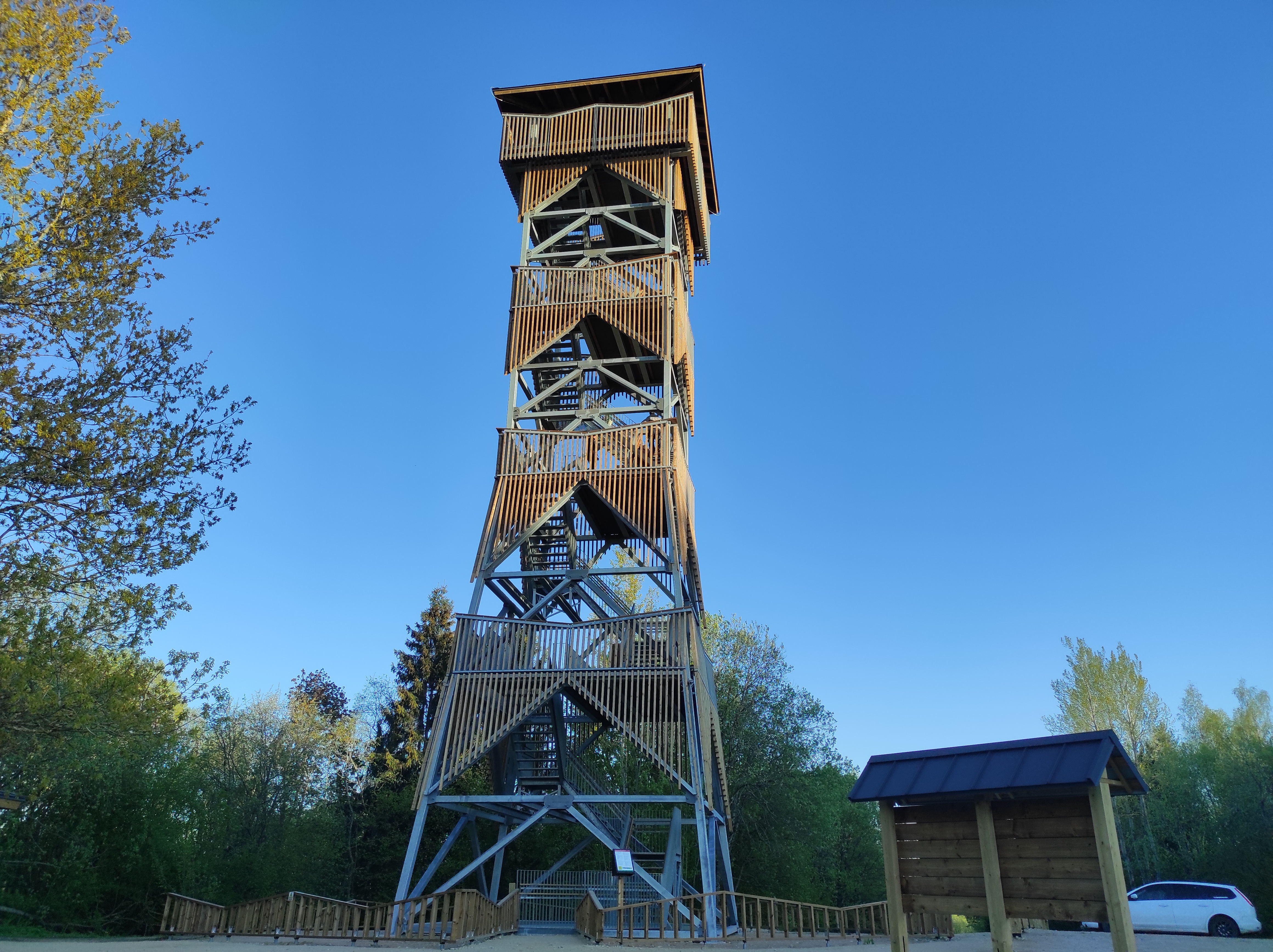
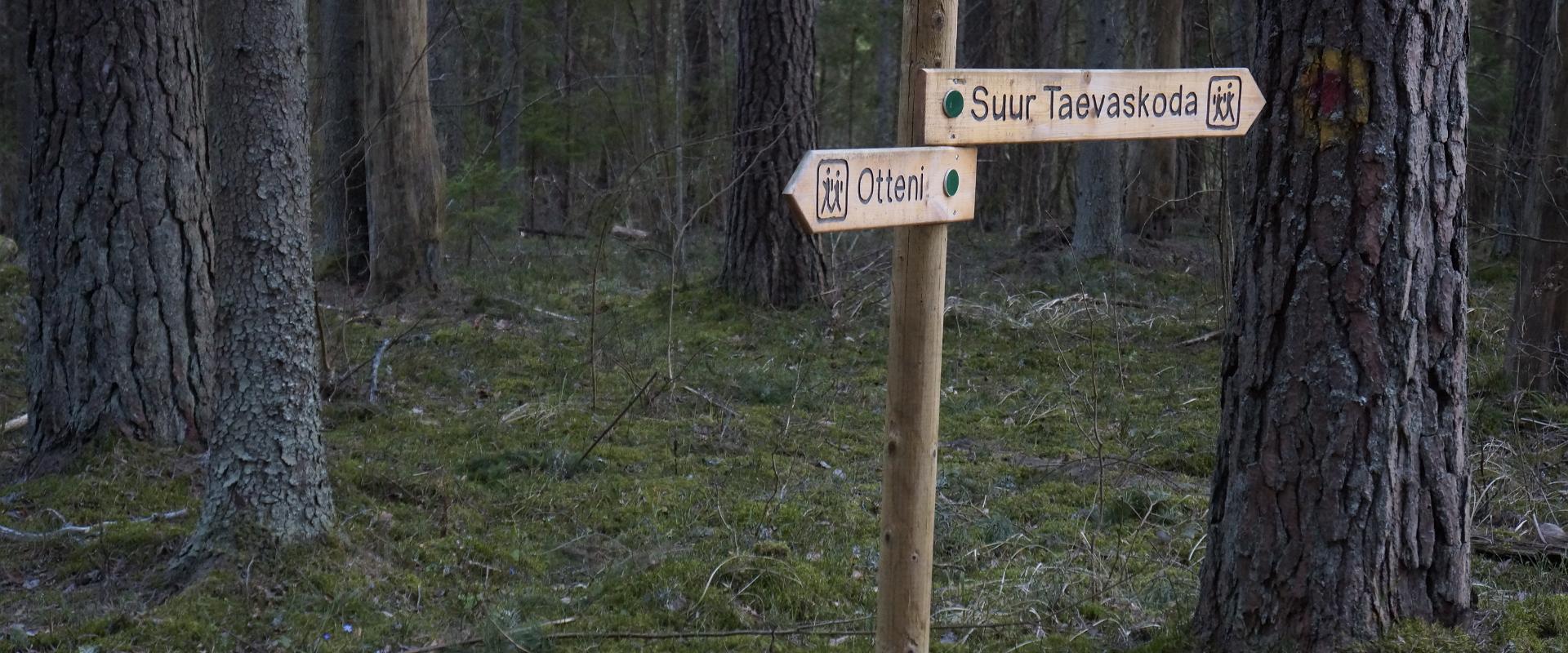
The Nohipalo study trail is an interesting and educational hiking trail. There are 16 information boards on the three-kilometre trail, which give a good overview of hunting and forestry.The diversity of the nature makes the trail exciting – boreo-nemoral forests, eskers, and heath forests, where blueberries, lingonberries, and mushrooms can be picked depending on the season.On the study trail, you can admire the magnificent badger area and explore the traces of beavers. If you are lucky, you might even see an animal there.The Nohipalo study trail starts and ends at the Ilumetsa forest house.
Amenities

  • Information boards
  • Free parking

Open times

1. jaan - 31. dets

Around the Clock

Contact

  • +372 676 7122
  • info.kiidjarve@rmk.ee

Links

rmk.ee

See more

  • Lookout towers
  • Hiking Trails

Harimägi and Harimäe Observation Tower

Harimägi is one of the largest mesas in the Otepää Uplands (211 m above sea level). It is worth coming to Harimäe whenever you are near Otepää. The Harimäe Observation Tower is located 3 km from Kääriku in the direction of Sangaste. The height of the tower is 28 m, and the highest viewing platform is 24 m high. The tower offers views of the Otepää mountains and across the Väike Emajõgi valley to the Karula upland. Camping is also allowed at the tower. Good to know: Harimägi is also called 'Leenard and Leonhard's hill.' From 1816 to 1819, geodetic surveys were carried out here by the internationally recognised astronomer and surveyor Friedrich Georg Wilhelm Struwe (1793–1864).

  • Hiking Trails

Taevaskoja–Otteni–Taevaskoja hiking trail

The hiking trail, which starts from Suur Taevaskoda, runs on the high banks of the Ahja River and on the tracks of the menu film The Last Relic. Suur Taevaskoda, the partially preserved Otten or Valgesoo watermill complex, the two-vaulted Otten mill bridge, and the miniature canyon, which became famous thanks to the film The Last Relic, picturesque views of the Ahja River, and a pit of a forest brothers' bunker can be seen on the hiking trail. The trail is marked with green colour on the trees and signs and there are several information boards on the trail. It is possible to camp and make a campfire at the Otten campfire site. When coming by car, the hike starts from Saesaare car park and therefore, the trail is about 2 km longer.

  • Hiking Trails

Apteekrimäe forest trail

Apteekrimäe forest track starts and ends by Otepää Sports Hall on Mäe Street. The 4 km track runs through the forest to Nüpli Sports Track and then back to the Apteekri forest, where it meets the forest path between Lake Marguse and Otepää Garden Town before returning to its starting point after crossing the Sulaoja bridge. The track can be used all year round.

  • Hiking Trails

Lõunalaagri hiking trail

The 2 km long hiking trail of Lõunalaager is established on the former grounds of the Estonian Defence Forces' Lõunalaager. In 1920, an impressive military complex was built here, where infantrymen practiced during the summer. Although nothing remains of the buildings, the shimmering reservoir among the trees, the old bridge, several foundation stones, and trenches speak of the realities of that time. Information boards provide additional reading about the past. It's an experience to perceive how quickly nature hides everything once made by humans. The Lõunalaager hiking trail offers a unique opportunity to combine a light nature walk with the heritage of Estonia's military history. The natural course of the trail around the reservoir and over the old bridge creates a peaceful, almost meditative atmosphere. The RMK campfire site allows for a rest break and, if necessary, camping. The trail is marked, and information boards help understand the area's significance in the history of the Estonian Defence Forces. Crossing with the shooting range cycling trail offers an additional opportunity for longer movement – thus, a more sporty day loop can be initiated from Lõunalaager.

  • Hiking Trails

Kirna hiking trail

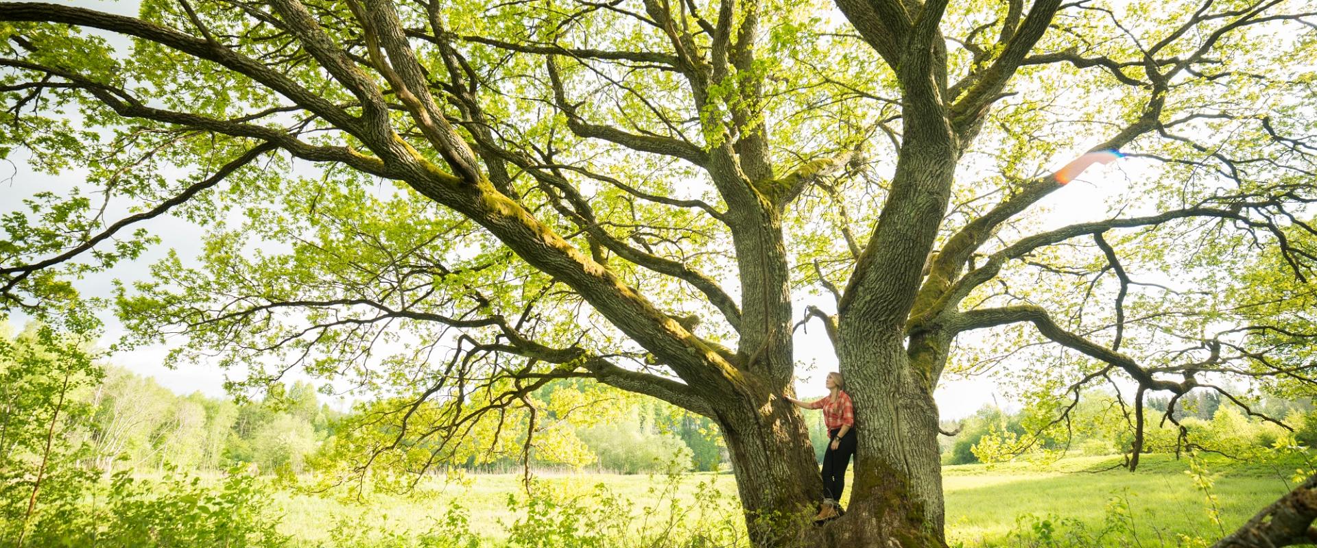
Kirna’s 6.8 km study trail provides a good opportunity to explore the Pedja River meadows and forest. To gain a better view of the meadows and river, the Altmetsa Farm has an observation tower. A suspension bridge helps to cross the river. On the right bank of the Pedja River, you will find the magnificent oak tree Musutamm. The trails of wild boars and beavers can also be seen on the study trail.While on the trail, you might hear gunfire as the Kirna Training Centre of the Defence League is close by. The access roads to the meadows intersect the study trail in several places, please carefully follow the trail marking!

  • Hiking Trails

Taagepera hiking trail

The total length of Taagepera hiking trail is 5.4 km. The trail begins and ends at the Taagepera campfire site and partly runs along the shores of the Õhne River. The trail can also be completed in smaller circles – 1.6 km and 4.0 km long. There are wooden signposts and information boards at the hiking trail, capfire site is suitable also for camping.The main sights of the hiking trail include the Taagepera Castle with the Castle Park, Taagepera Church and the Cemetery, the graveyard of barons, the Musukivi rock, the sacrificial stone, the underground cemetery, and the Õhne River.A truly inspiring hike full of history, architecture, and ancient nature!

  • Hiking Trails

Emajõe river shore path

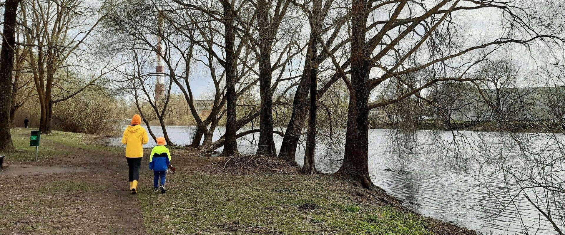
The 4-km Emajõe river shore path starts from the Turu bridge between River Emajõgi and Anne channel, and it runs on the Natura 2000 protection area and offers spacious views of the Anne channel, River Emajõgi, ship and boat traffic, and Karlova harbour.The hiking trail features information boards, riverside picnic areas, and several bridges, you can also meet hobby fishermen there. During spring, the path may be flooded and provides an opportunity to enjoy the views of the flooded meadow. When the trail ends, you can walk the same way back. Another option is to turn left to the gravel road, which leads to the Ihaste cycling and walking road.

  • Hiking Trails

Kaljupealse campfire site

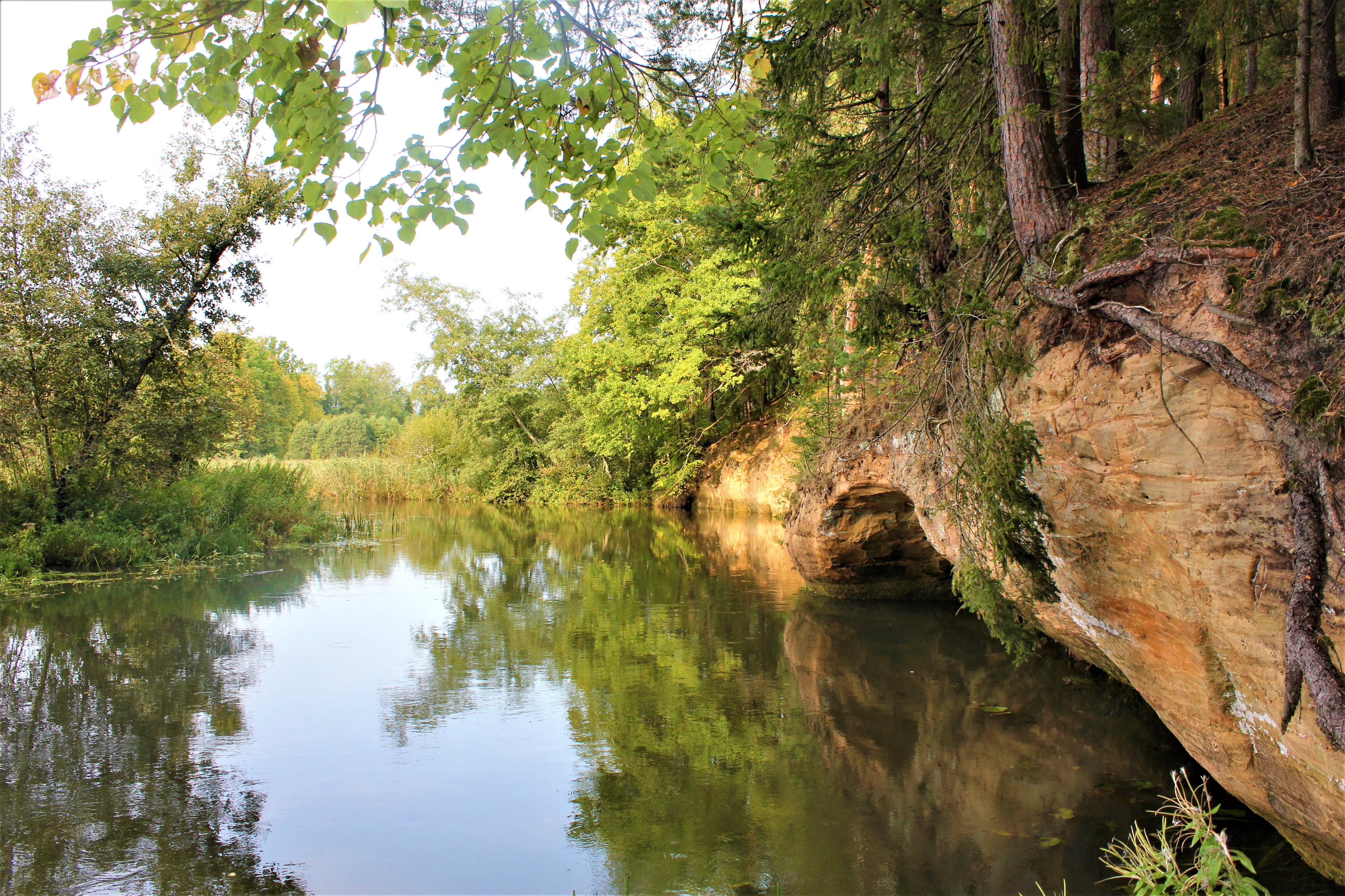
The Kaljupealse campfire site is located on the banks of the Võhandu River, in a beautiful pine forest. The riverside and high banks offer a beautiful view of the Võhandu River and sand outcrops. The campfire site has a roofed table and benches, a roofed grill, and firewood. The place is ideal for campers, fishing enthusiasts, and as a resting point for guests coming here with boats.Along the high sandy shores, through a beautiful pine forest, there is an unmarked hiking trail where you can enjoy beautiful views of nature or pick berries and mushrooms.

  • Collaboration
  • News
  • Contacts
  • Privacy Policy
Join our mailing list!

"*" indicates required fields

This field is for validation purposes and should be left unchanged.
I authorise marketing

South Estonia Tourism Cluster

info@visitsouthestonia.com