• Explore
    • Nature
    • Culture
    • Food
    • Family
    • Activity
    • Blog
    Smoke sauna
    Weather and seasons
  • Plan
    • Accommodation
    • How to get here
    • Weather and seasons
    • Sustainability
    • Tourist info
    Discover South Estonia’s Most Beautiful Manors and Castles
    Top 20 Sights in South Estonia
  • For professionals
    • For professionals
    • Collaboration
    • News
    • Projects
    • Training
    • Repository
    • Community (opens in new tab)
    • Contacts
ENG
  • EnglishENG
  • EestiEST
  • LatviešuLAT
  • РусскийRUS
  • SuomiFIN
ENG
  • EnglishENG
  • EestiEST
  • LatviešuLAT
  • РусскийRUS
  • SuomiFIN
Popular searches:
Show all
  • Nature and Activities
  • Nature
  • Hiking Trails

Hinni canyon

Rõuge vald, Võru maakond, 66712

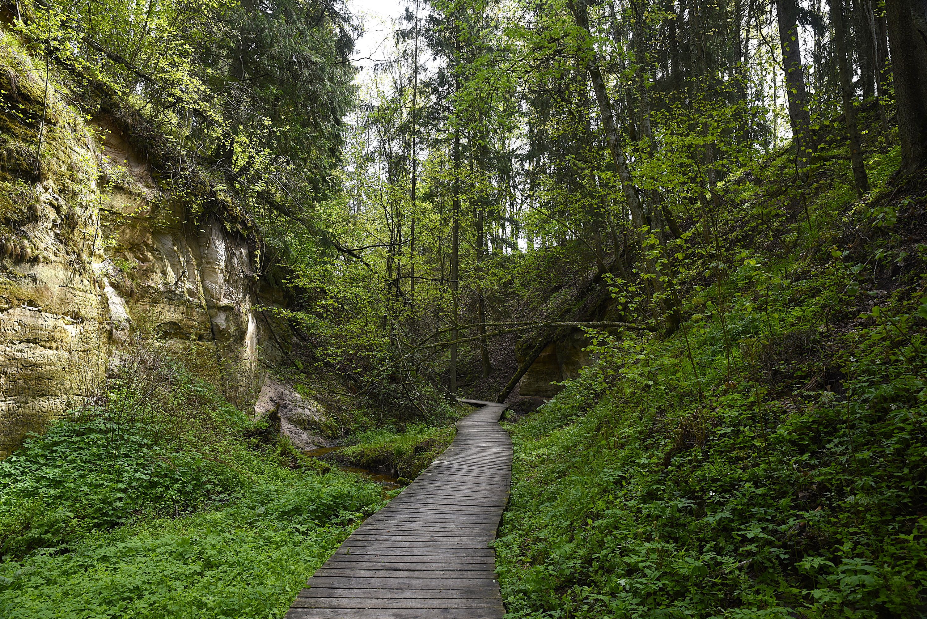
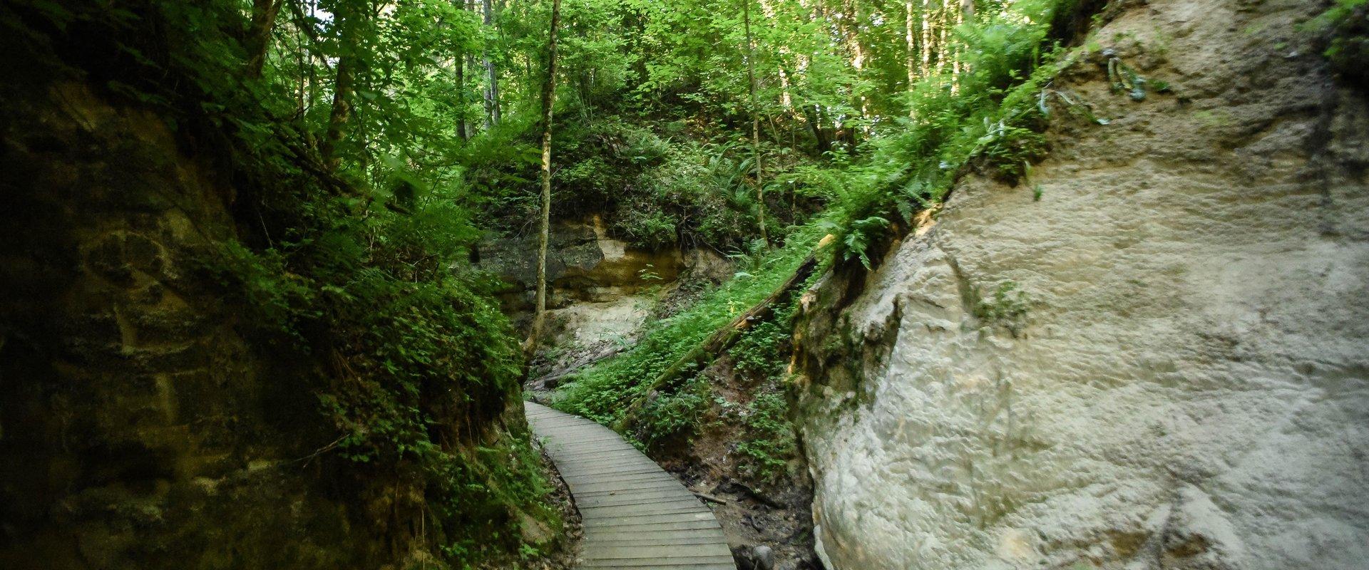
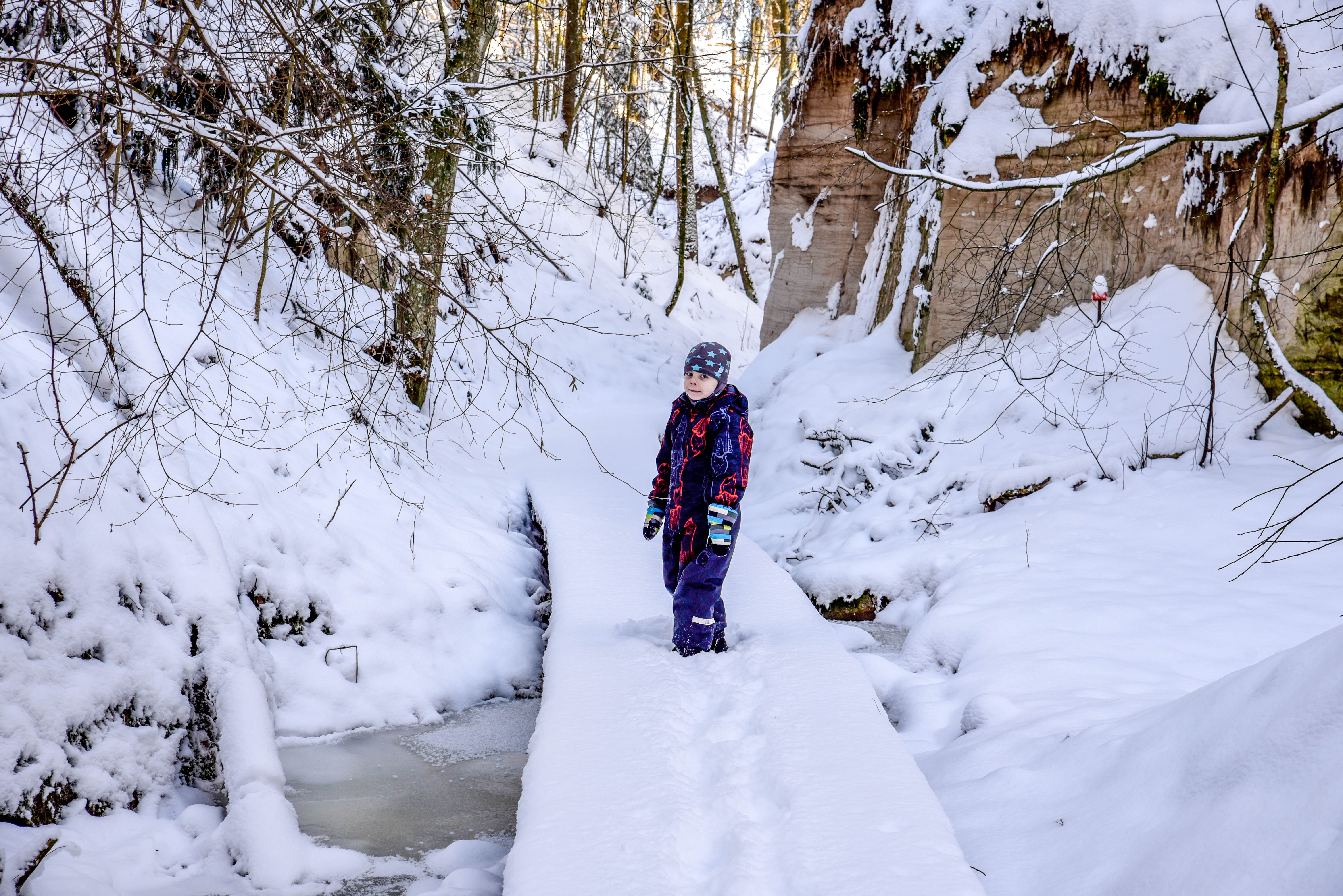
Hinni Canyon is located in the special protection zone of Haanja Nature Park and is a unique canyon valley in all of Estonia.
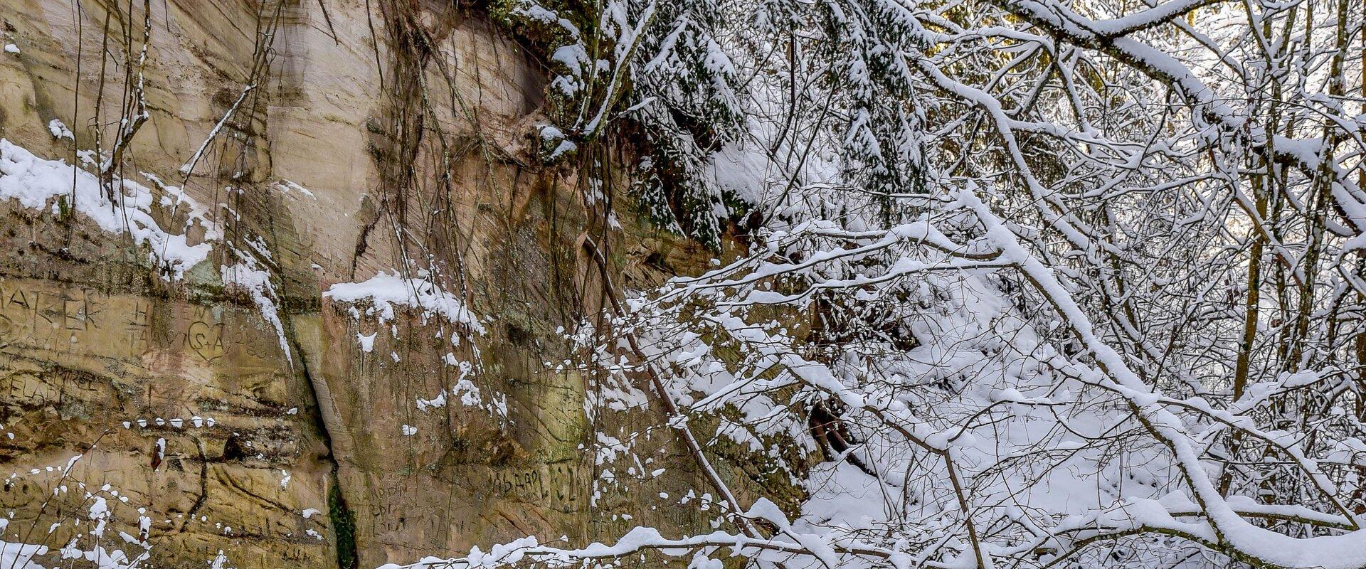
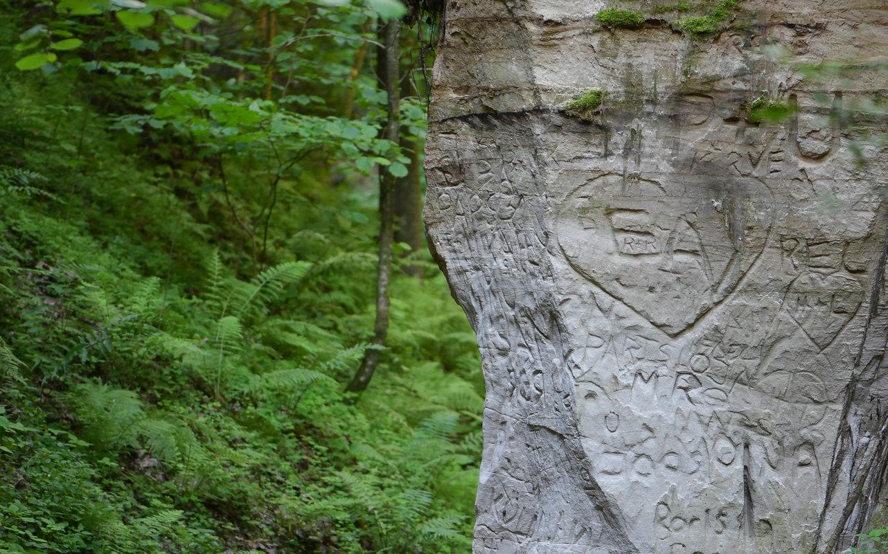
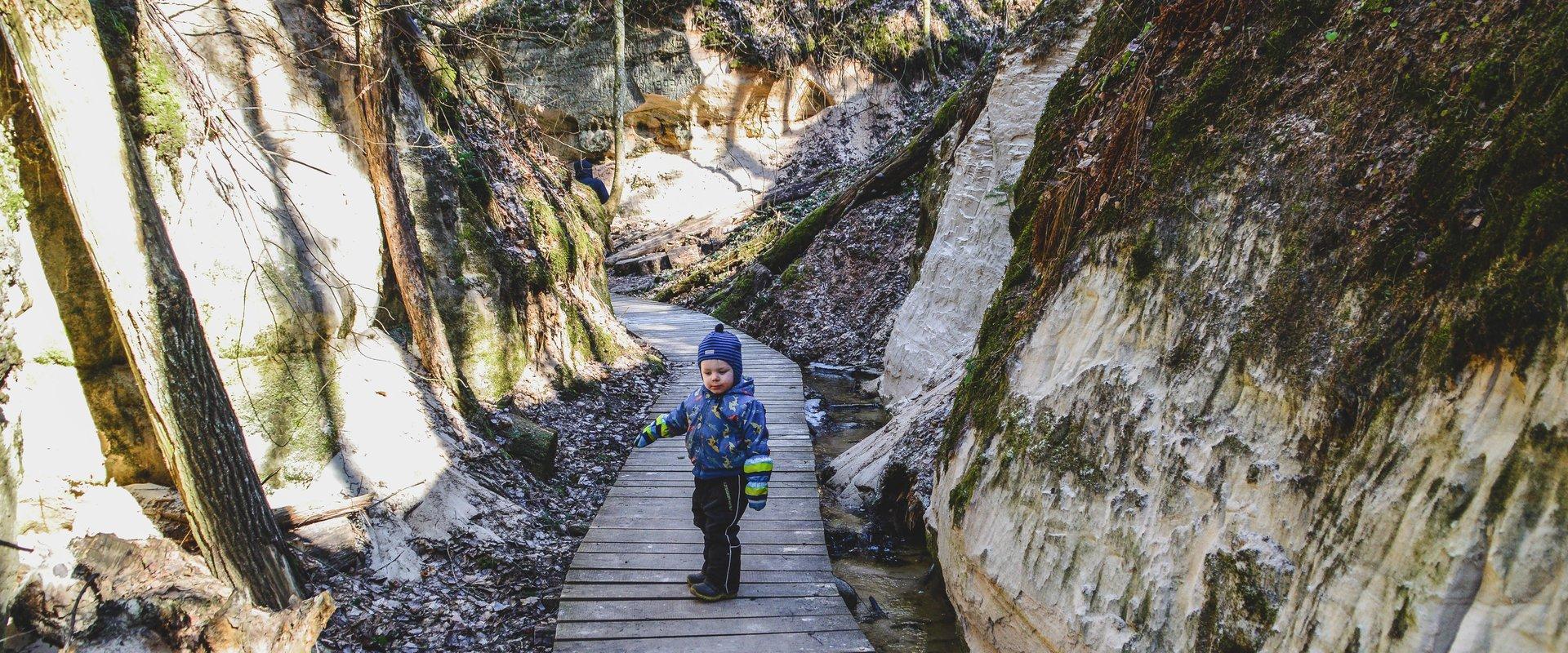
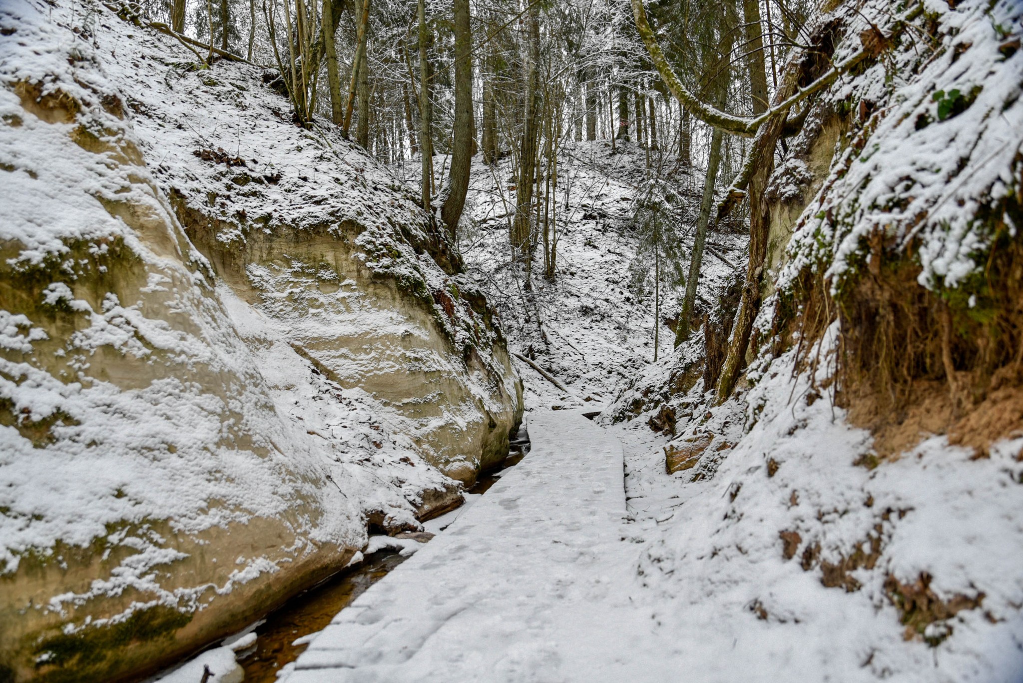
Hinni Canyon has cut into Devonian era sandstone. It is a 15-20 m deep and 300 m long ravine with steep slopes, at the bottom of which flows the fast-flowing Enni stream.
When visiting Hinni Canyon, it is worth considering that here you can experience the true power of nature: the sandstone cuts through the landscape, deep in a transverse direction, the slopes rise around – this is a rare and visually impactful place in Estonia. The trail at the bottom of the valley runs alongside the stream. Enni stream flows quickly and adds the sound of water and fresh air to the adventure. Moreover, in the outcrops, you can notice indentations, smaller caves, and more secluded inner cuts, creating a mystical feeling. From a nature conservation standpoint, it is important that this place is located in the special protection zone.Good to know: there is no additional lighting at the site, so it is best visited during the day. Since Hinni Canyon is partially located on private land, walking with dogs is not allowed!
Amenities

  • Information boards
  • Drop Toilet
  • Free parking

Open times

Throughout the Year

Around the Clock

Links

loodusegakoos.ee

See more

  • Hiking Trails

RMK Kiidjärve–Taevaskoja–Kiidjärve hiking trail

The hiking trail starting from Kiidjärve Visitor Centre runs along the banks of the picturesque Ahja River, where you can easily see different sandstone banks (Sõnajalamägi, Palanumägi, Oosemägi, Laaritsamägi, Mõsumägi, etc.). The trail runs along one shore to the Saesaare dam, over the bridge, and back along the other shore. The trail passes through Sõnajala campfire site, where you can pitch a tent. The trail also passes through the Roiupalu study trail campfire site.A map of the hiking trail can be obtained from the RMK Kiidjärve Visitor Centre.At times, the hiking trail runs along high shorelines and there are steep ascents. Please be careful!

  • Hiking Trails

Wood Ants’ Trail of Kiidjärve

Among the approximately 1 km study trail introducing the life of wood ants, the hiker can feel like a giant in the minuscule world of ants. In an area of 20 hectares there are 200 ant hills, the biggest of which is 1.7 m high; you can also admire the record-high spruce (42 m). The trail has signs, information boards, and bridges crossing ant highways.The trail is for walking only. While hiking on the trail near ant hills, use only the bridges installed there. The Laari forest study trail starts on the other side of the railway.The civilisation of ants offers an experience for both children and adults.

  • Hiking Trails

Vapramäe nature study and hiking trail

On the Vapramäe nature study trail (3.5 km), which is part of the Vapramäe–Vellavere–Vitipalu network, you can enjoy the eskers, read legends about Kalev's Son, and explore Põlismänd pine, the King's linden, Kerikmägi citadel, and much more.The nature study trail, marked with white-red-white, starts at the Vapramäe stop. There is also a picnic area with a campfire site on the hiking trail by the Elva River. You can go even further from the Vapramäe Nature House and visit the Tartu Observatory. It is easy to get there, because the domes of the observatory can be seen from afar.

  • Hiking Trails

Lake Verijärv nature studies trail

Lake Verijärv nature studies trail is around 1 km long and has 9 information boards showcasing plants, trees, bushes, birds and animals. The trail runs through the Lake Verijärv ancient valley and wood. There are signs along the trail as well as three barbecue areas with benches.There are various legends about Lake Verijärv. It is said that the lake got its name centuries ago when slaves were punished in the old cellar that stood on the shore and their blood turned the water red. Another legend speaks of the nasty lord of Kasaritsa Manor, who was drowned by his coachman with his carriage and horses while driving home one night.

  • Family friendly
  • Lookout towers
  • Hiking Trails

Ööbikuorg valley and Rõuge lakes

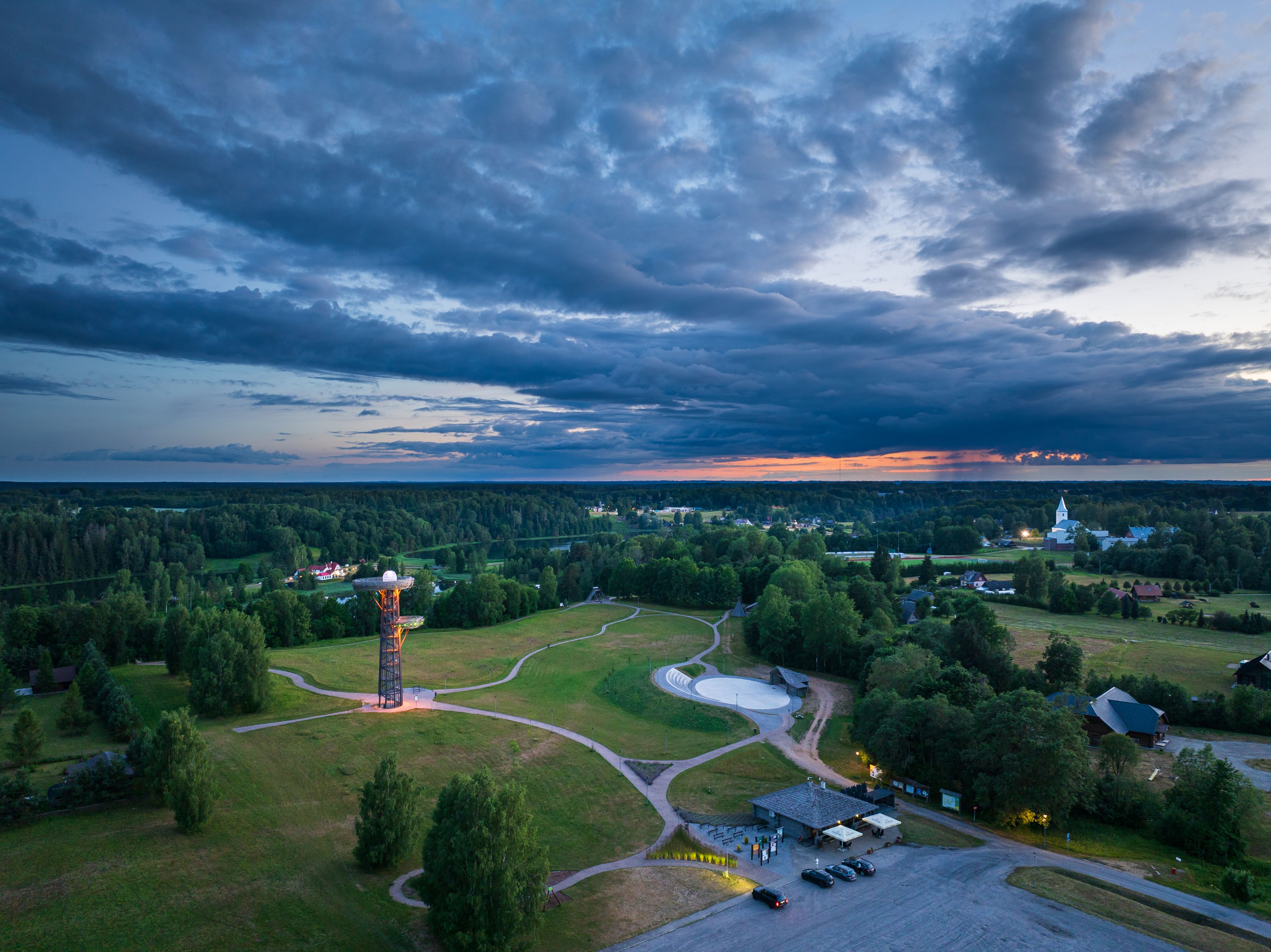
The Rõuge primeval valley, which is 10km long and 52m deep, contains seven lakes: Kahrila Lake, Tõugjärv, Ratasjärv, Kaussjärv, Rõuge Suurjärv, Liinjärv, and Valgjärv. The lakes are connected by the Rõuge or Ajo River, which starts from the Tindi valley. The side valleys of the Rõuge primeval valley are Tindi, Külm, Mõhk, Ööbikuorg, Tinopeetri, Hinni, Sikasoo, and Järveotsa valleys. The most famous of these is Ööbikuorg, which borders the ancient hillfort from the north. In spring, during the blossoming of bird cherry trees, the valley resonates with the song of nightingales – hence the name of the valley. Several hiking trails run through Rõuge, including the popular Ööbikuorg hiking trail, which takes visitors through the primeval valley, past lakes and springs. The trail is suitable for families with children and is partially accessible by bicycle. In summer, you can swim and paddle in the lakes, while in winter, the same trails are enjoyed by skiers and sledders. In the Rõuge settlement, there is also Estonia's deepest lake – Rõuge Suurjärv (38m) – and the largest Nature Clock in Estonia, whose hands mark the passage of time in nature's rhythm.Good to know: At the edge of Ööbikuorg, there is a visitor center and the Pesapuu observation tower, which offers a view of the entire valley.

  • Hiking Trails

Järvselja Primeval Forest Nature Study Trail

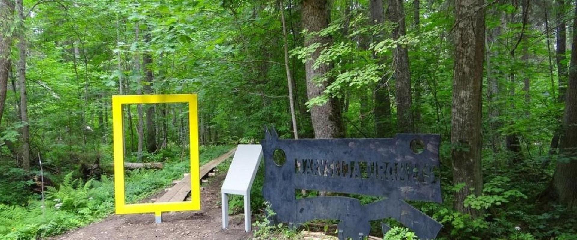
Järvselja nature study trail introduces the forest surrounding the centre of forestry and research. The trail is diverse and passes through a number of forests. Here, you will see the King’s pine (Kuningamänd), which is over 380 years old, as well as spruces that are more than 40 meters high – making them one of the highest trees in Estonia.The trail runs partly on a boardwalk and the route is 1–5 km long. A good starting point is either the Järvselja Hunting Lodge or the guest house, where there are information boards with a map of the trails.Järvselja study trail and the primeval forest represent one of the best locations to discover in Southern Estonia, marked with the yellow frame of National Geographic.

  • Hiking Trails

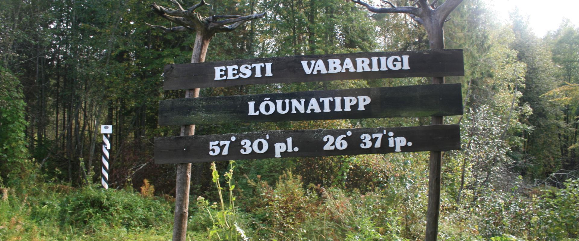
A nature study trail in the southernmost point of Estonia

Drive along the Võru-Valga highway from Saru to Kuutsi-Tiitsa-Karisöödi-Ura-Naha (about 14 km). The trail is about 4.8 km long and it takes a couple of hours to walk it through. The trail starts under the oak-tree with a perimeter of about 4 metres in Naha farm and runs very close to the state border, so make sure you take your ID with you. Interesting to know: you cannot put your foot down on the southernmost point, as the geographically correct southernmost point of Estonia is situated about 5 steps away from the marked spot, just in the middle of the Peetri River.

  • Lookout towers
  • Hiking Trails

Estonian-Latvian joint cultural heritage trail

An exciting hiking trail runs along the banks of the Koiva River, which borders Estonia and Latvia. You can discover points important to both countries' cultural heritage along the trail! The trail is 22 kilometers long, so there and back comes to 44 kilometers. The trail introduces old Estonians' way of life and offers the opportunity to get acquainted with historical heritage in the middle of nature. The trail includes, for example, Taheva Manor, a windmill, the ruins of a hay barn, and ancient trees. There are several campfire sites and camping sites. The trail is signposted and equipped with information boards in Estonian, Latvian, and English, and it can also be completed by bike.

  • Collaboration
  • News
  • Contacts
  • Privacy Policy
Join our mailing list!

"*" indicates required fields

This field is for validation purposes and should be left unchanged.
I authorise marketing

South Estonia Tourism Cluster

info@visitsouthestonia.com