• Avasta
    • Еда
    • Природа
    • Культура
    • Семья
    • Спорт
    • Сообщество
    • Блог
  • Planeeri
    • Размещение
    • Информация
    • Varamu
RUS
  • РусскийRUS
  • EestiEST
  • EnglishENG
  • LatviešuLAT
  • SuomiFIN
RUS
  • РусскийRUS
  • EestiEST
  • EnglishENG
  • LatviešuLAT
  • SuomiFIN
Populaarsed otsingud:
Näita kõiki tulemusi
  • Nature and Activities
  • Nature
  • Hiking Trails

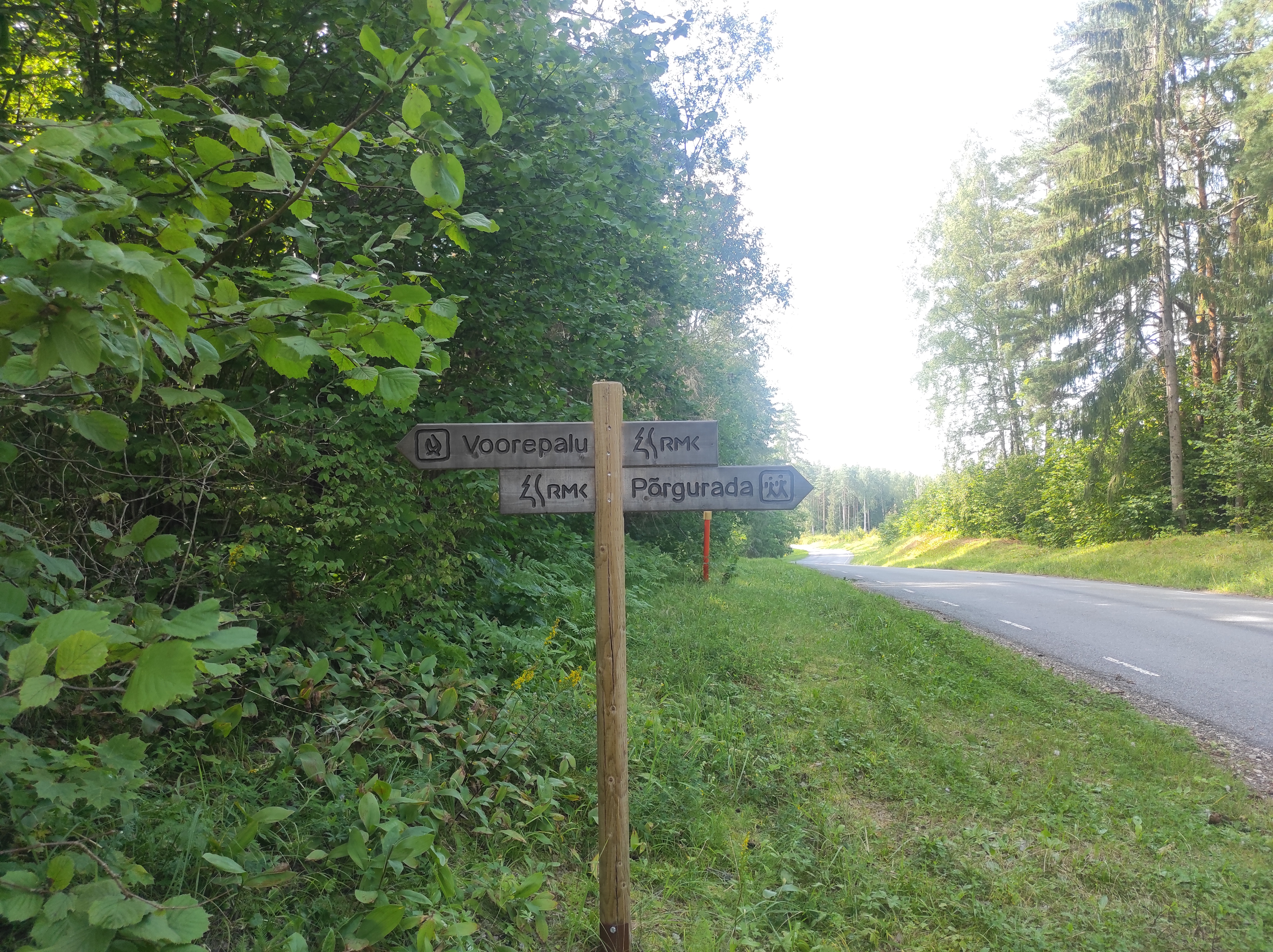
RMK Voorepalu Põrgurada trail

Kanepi vald, Põlva maakond, 63512

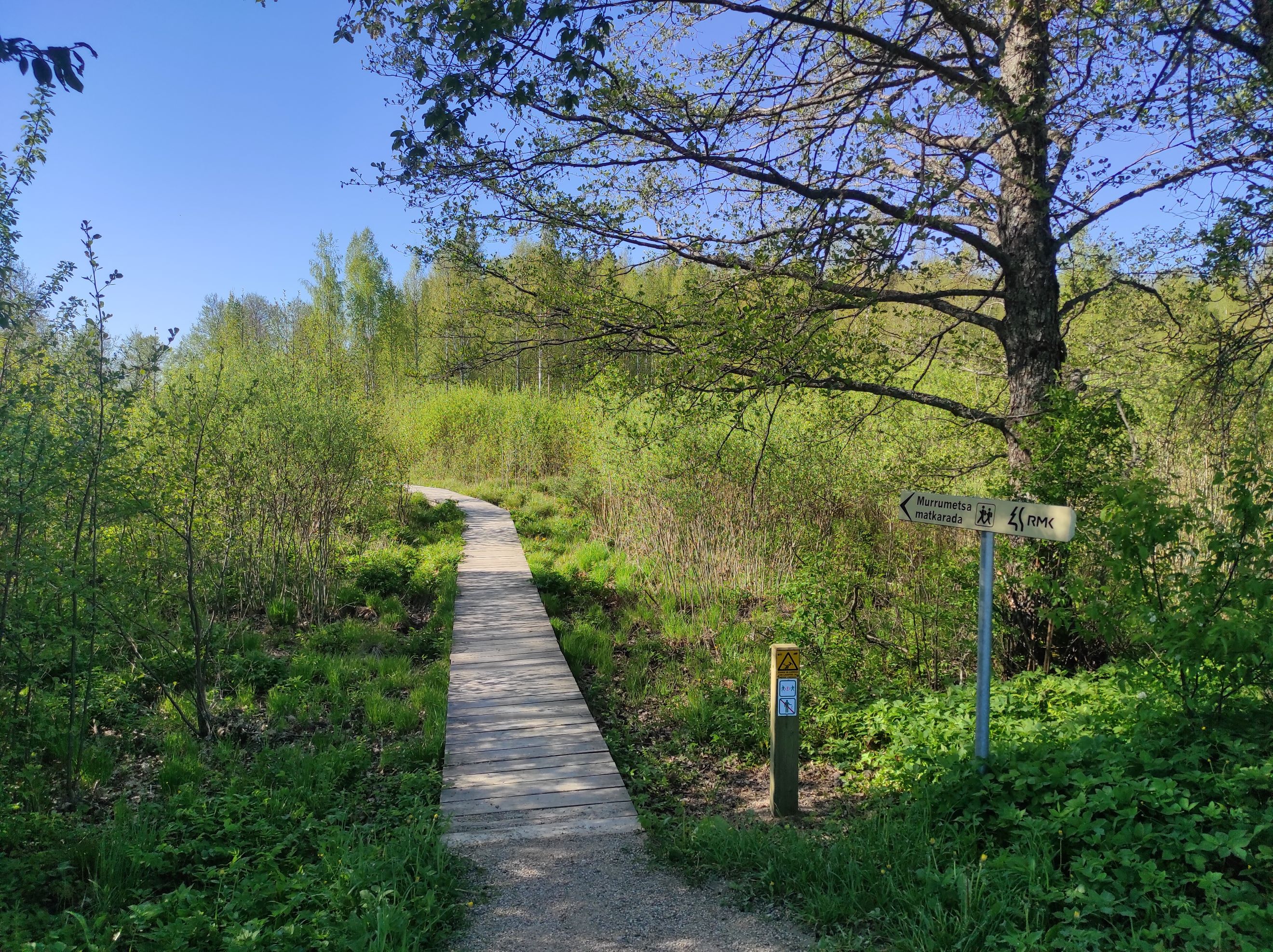
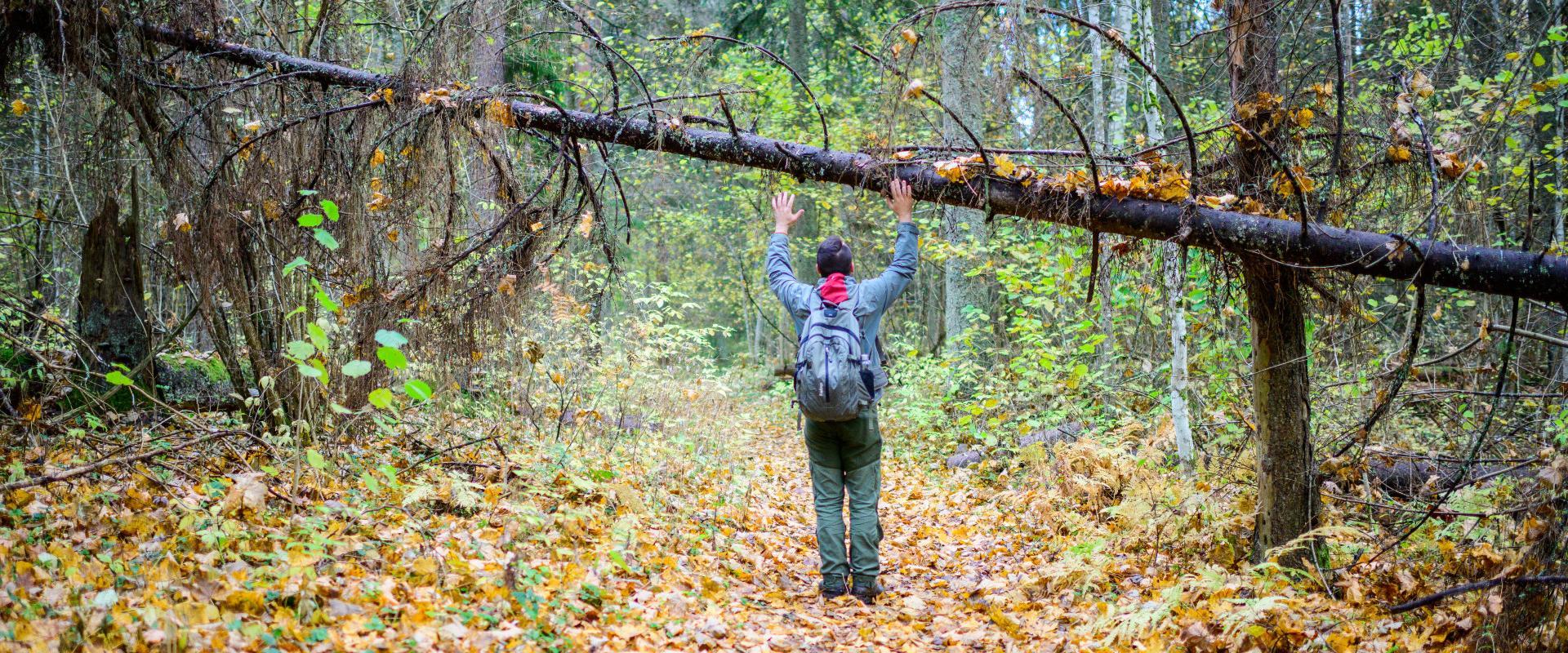
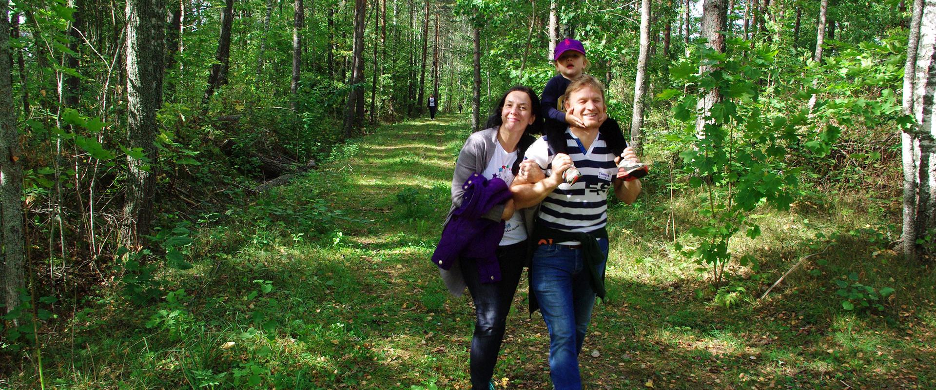
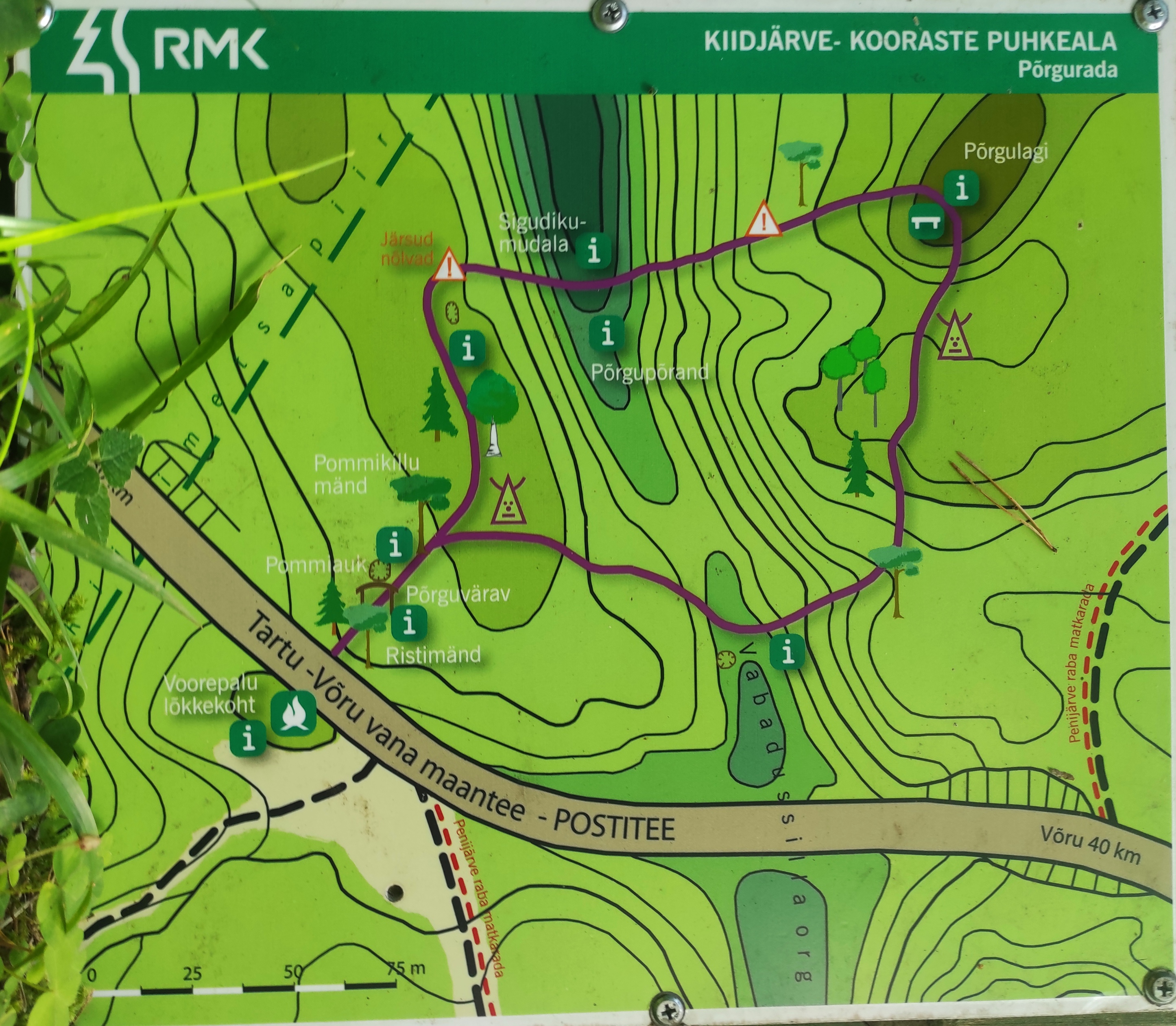
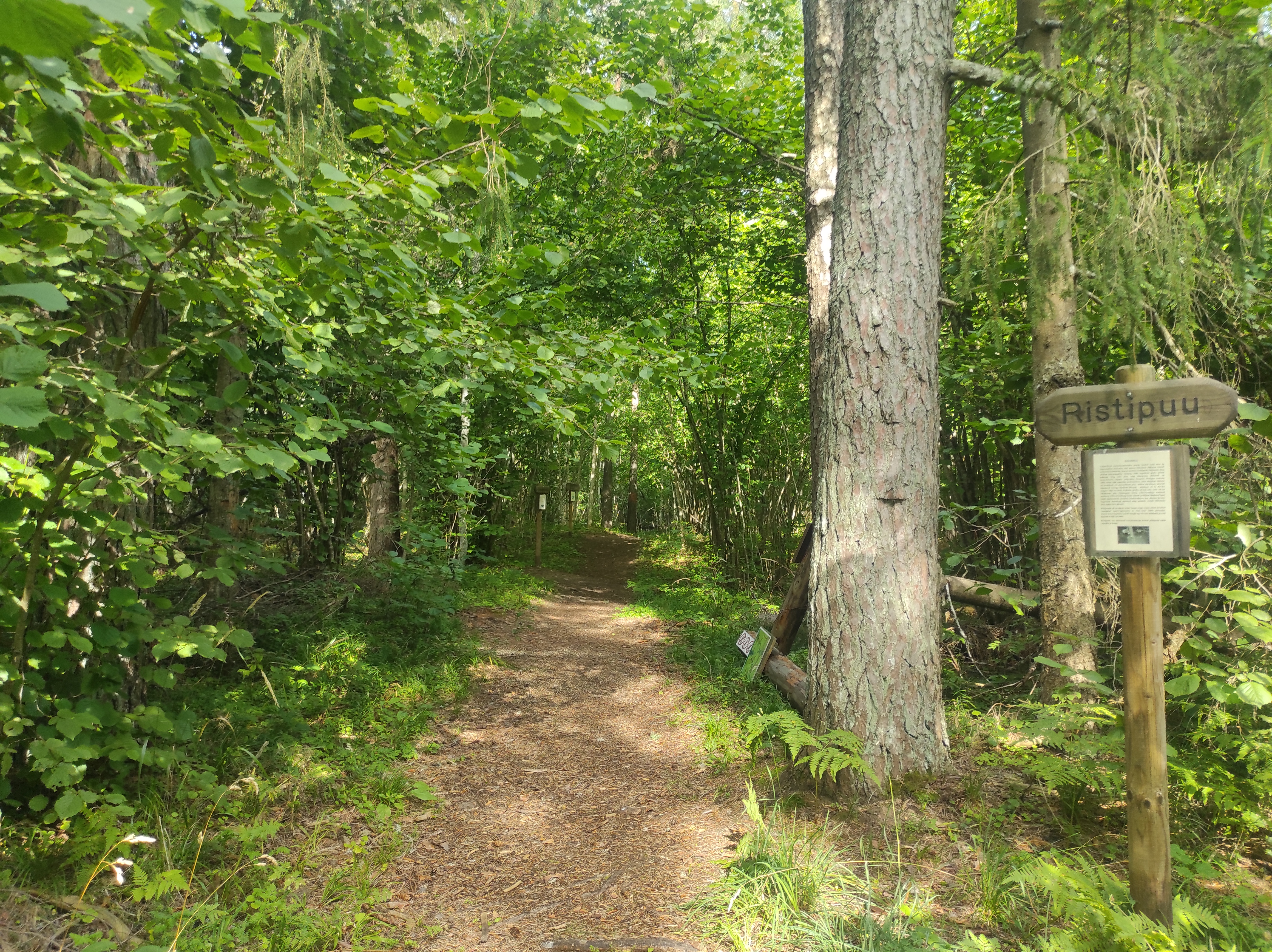
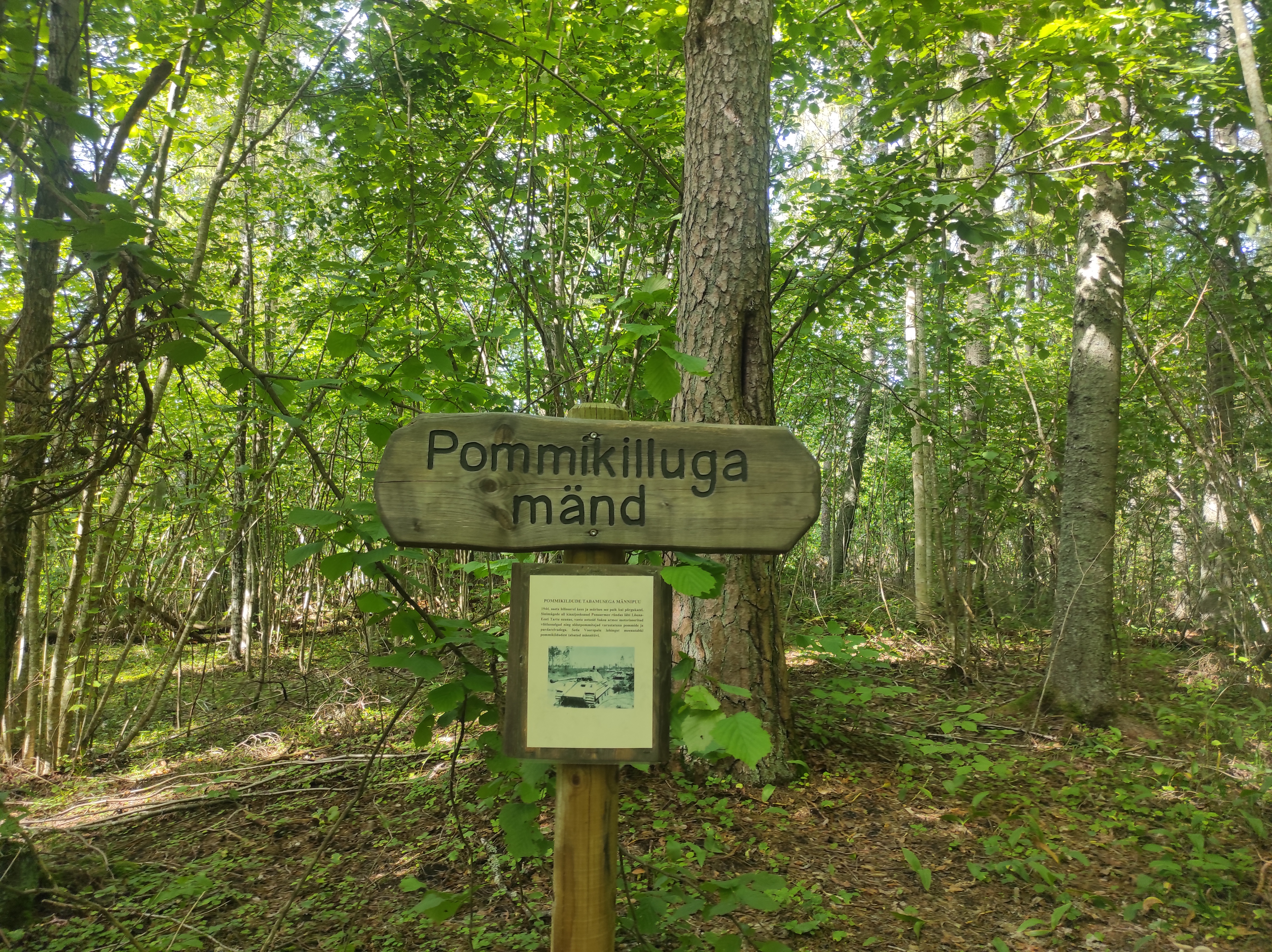
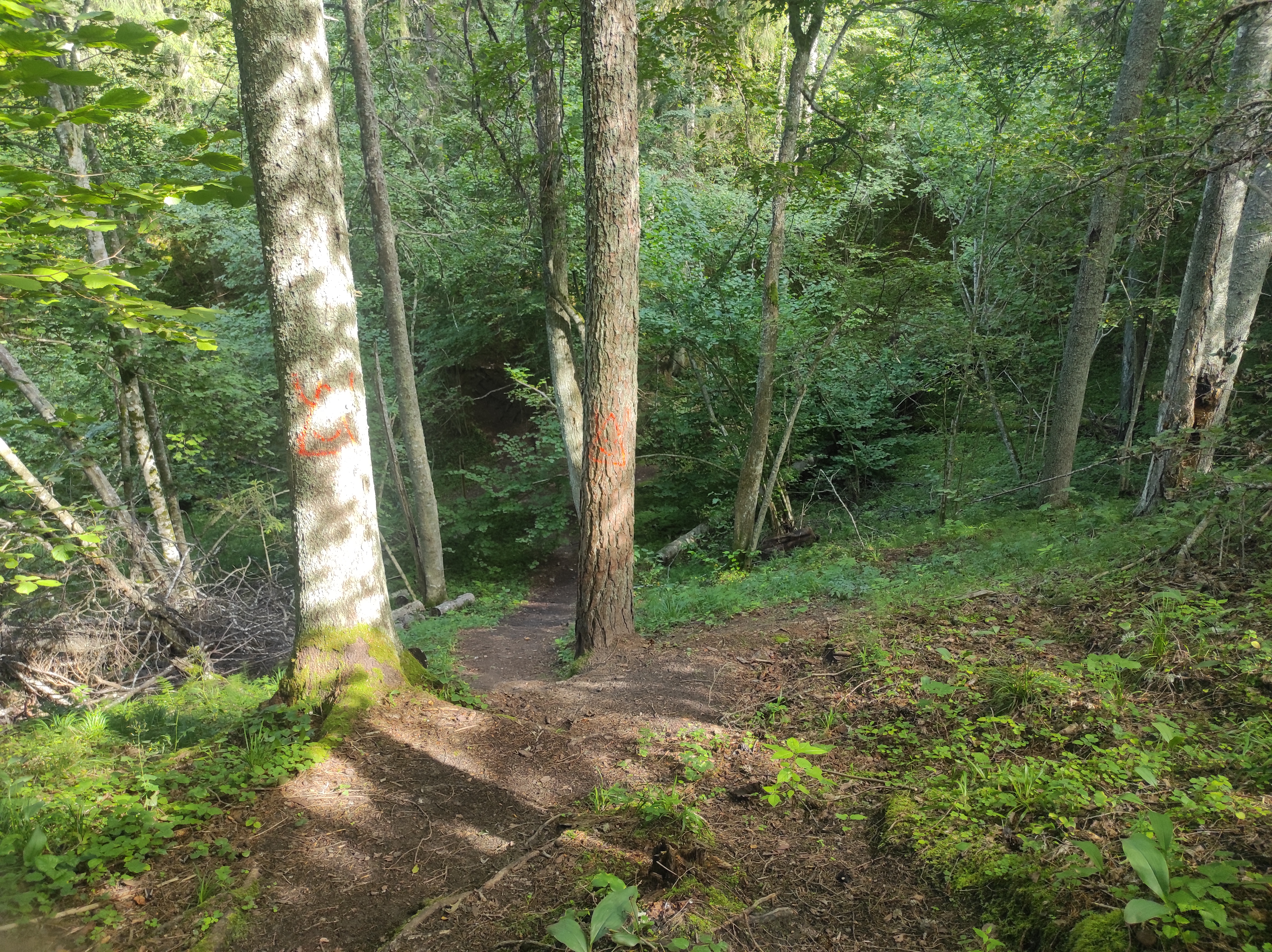
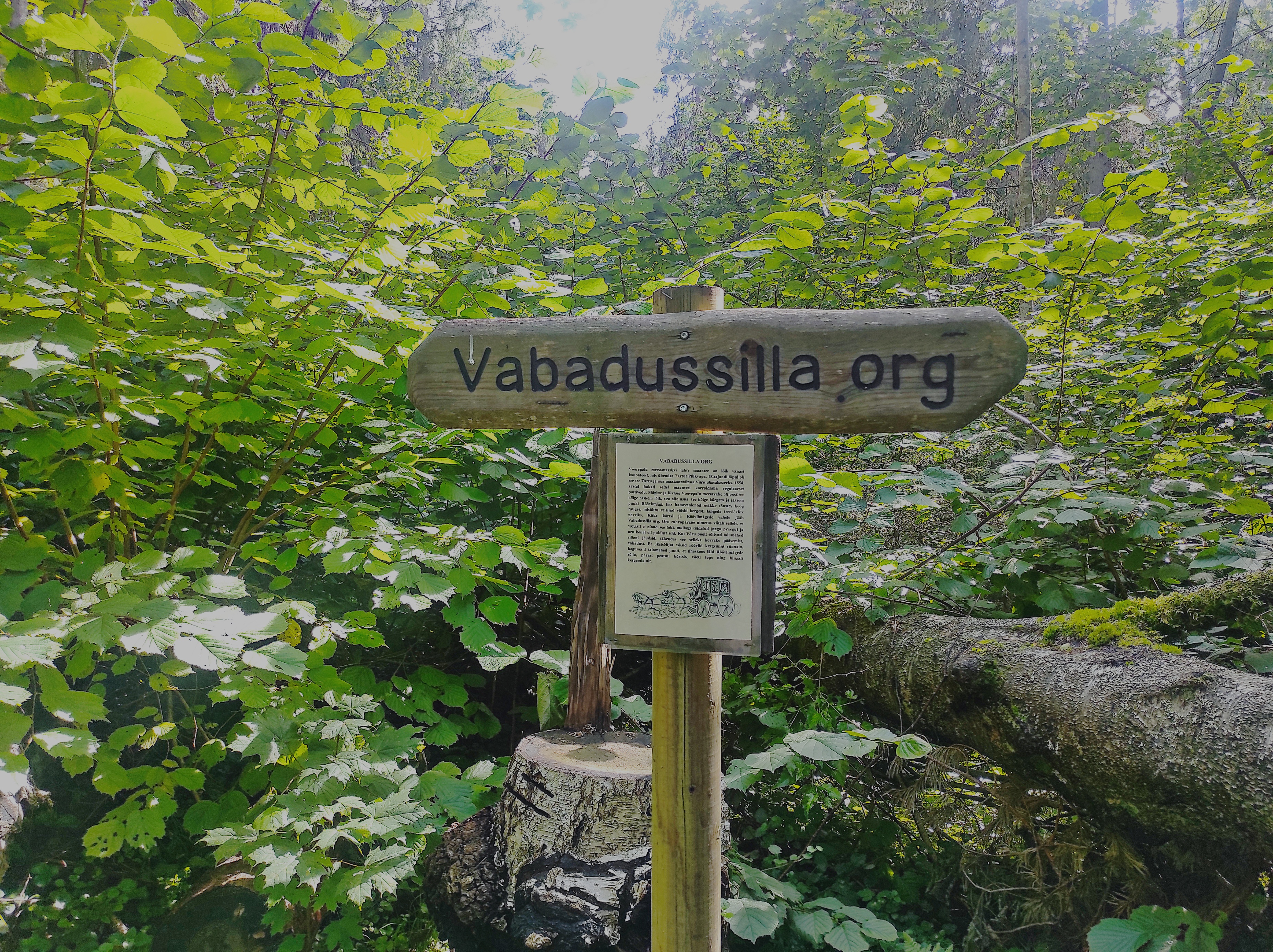
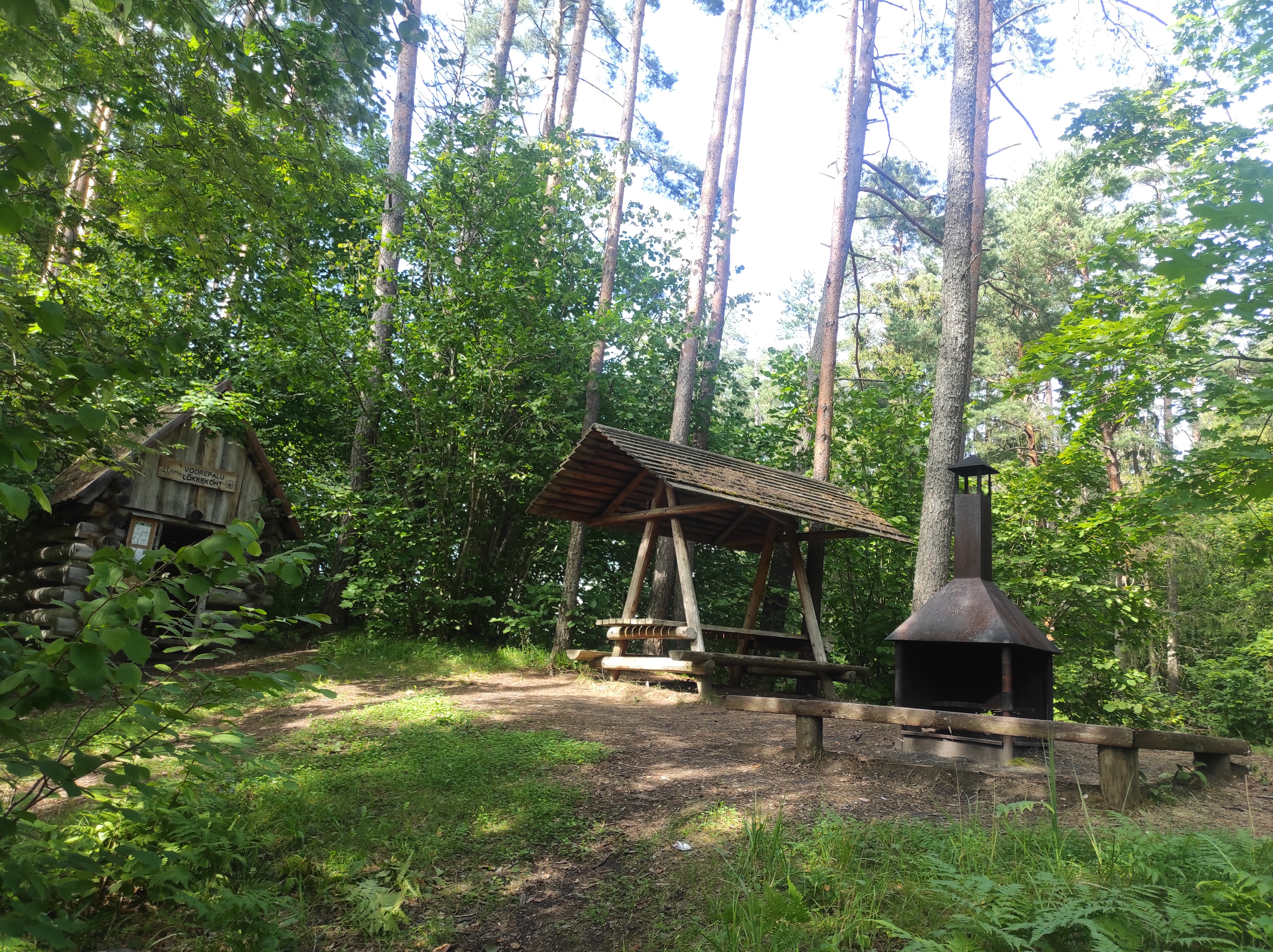
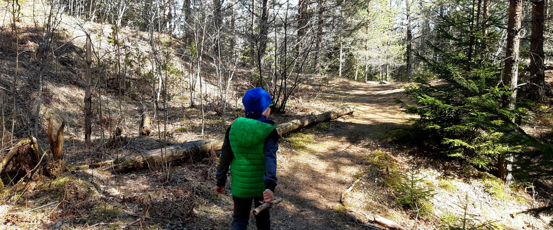
The hiking trail, which is suitable for a pleasant walk, starts on the other side of the road opposite the Voorepalu campfire site and runs along an extremely varied landscape with several steep ascents and descents. The trail has information boards introducing past events and folklore and the highest point of the trail has a table and benches for resting. Rope railings have been installed on the steep slopes of the trail.The historical Postal Road runs between the campfire site and the hiking trail. Ristimänd tree and many other exciting places are on the trail with a varied landscape. Two cars can park at the campfire site.
Mugavused

  • Information boards
  • Free parking

Lahtiolekuajad

1. apr - 31. okt

Ööpäevaringselt

Kontakt

  • +372 676 7122
  • info.kiidjarve@rmk.ee

Lingid

rmk.ee

Vaata lisaks

  • Hiking Trails
  • Birdwatching

Tamme Outcrop hiking track

Tamme Outcrop hiking track is located on the eastern shore of Lake Võrtsjärv between the villages of Tamme and Neemisküla in Elva municipality. The area is rich in Devon sandstone outcrops from the Aruküla layer. Tamme Outcrop, which is located on the track, is an area where placoderms have been found and where valuable paleontological material has been collected since the second half of the 19th century.Ten information boards have been set up along the hiking track, which is almost 2 km long. They provide interesting information about the local natural environment. If you walk 1 km north on the track, you can turn back and hike back along a field or on a forest trail on the outcrop.

  • Hiking Trails
  • Guided tours

Kiidjärve Visitor Centre

Kiidjärve Nature Centre is located in Kiidjärve-Kooraste recreation area on the banks of the picturesque Ahja River in Kiidjärve village. It seeks to guide visitors, young and old alike, to the beautiful scenery of the area so that the forest and nature itself will reveal their secrets to a keen observer. The nature centre has information materials and information about Kiidjärve-Kooraste, other RMK recreation areas, and other various attractions. In the immediate vicinity are famous celestial Taevaskoda sandstone outcrops, Kiidjärve Formica kingdom, and the picturesque Valgesoo bog.

  • Hiking Trails

Väike Väerada hiking trail

In Tartu County, near the Elva railway station, the Väike Väerada trail is one of the area's most popular hiking paths. It is special because of the wooden sculptures inspired by Estonian fairy tales and created by local artists. Small but mighty, Väerada has a healing effect on both the mind and body. The nature trail offers experiences for hikers of all ages and is suitable for exploration year-round. The attractive sculptures not only adorn the trail but also guide the correct path. The forest trail includes several resting spots and exciting attractions for children, making the journey even more enjoyable. The hiking trail ends at the Tartumaa Health Sports Center, where you can continue adventuring on other forest trails, play disc golf, or enjoy playground fun with children under the beautiful pines. Come take a walk in nature, discover fairy-tale sculptures, and let Elva Väerada offer you peace and experience in every season.

  • Hiking Trails
  • Parks

Pühajärve War Oak

You'll need several people to measure the circumference of the ancient, nearly 400-year-old oak tree towering nearby Lake Pühajärv in Otepää! The trunk of this ancient tree has a circumference of 6.6 meters. It is called the War Oak because it has witnessed many historical events. Apparently, peasants of the Pühajärv Manor refused to work for the manor in autumn 1841 and the rebels were punished near the oak. The Pühajärve War was one of the first peasant uprisings against the landlords in Estonia, and in memory of it, an oak tree was planted nearby, where a memorial stone was erected on the 130th anniversary of the uprising. A beautiful park with walking tracks surrounds the tree today, and although the ancient tree is no longer in its full glory, it stands here to its full dignity, recalling times gone by.

  • Hiking Trails

Õrsava Lake Hiking Trail

The Õrsava Lake Hiking Trail winds around the lake of the same name. The 5 km trail starts officially at the Värska school stadium, but you can start at any point. The lakeside footpath is made more exciting by several bridges. On the shore of Õrsava village there is a campfire site and an RMK bonfire site, as well as a swimming area.In addition to scenic views of nature and pine forests, the hiking trail offers some history: it's partly on the road of the former Estonian Defense Forces Training Center, the so-called , and although the camp was largely dismantled in World War II, some soldiers' barracks and other buildings have been preserved.

  • Camping sites
  • Hiking Trails

Lake Kavadi hiking trail

The 2.2 km hiking trail in Kavadi runs along the banks of Lake Kavadi. The hiking trail begins and ends in New-Salus Park, which has a resting place, campfires with barbecue grilles and a campsite. The trail with the direction of travel winds both along the shore lane and under the forest. Lake Kavadi is considered the most articulated shore-lined lake in Estonia. The surface area of the lake is 27.4 ha. The current size and look have been acquired by the lake some 140 years ago when Baron C. FR. von Maydell, who bought the New-Salus mansion, swelled up three small swamp lakes.

  • Beaches
  • Camping sites
  • Hiking Trails

Lake Pühajärv hiking trail

The hiking trail that encircles Lake Pühajärv starts near the centre of Otepää Nature Park. The 14 km trail takes you on a voyage of discovery around one of the most unique and beautiful lakes in Estonia. Covering the whole track takes from 3–6 hours. There are rest areas and barbecue sites along the way. Part of the track (approximately 2.2 km) runs along the Pühajärve–Kääriku exercise track by the Otepää–Kääriku highway. You can cover the track by foot or bike. Cyclists must bear in mind that there are parts of the track on which you will have to push your bike instead of riding it. The Angunina, Kiigemäe and Koolirand campfire sites are located on the trail. There, you can make a fire and camp.

  • Hiking Trails

Järvselja Primeval Forest Nature Study Trail

Järvselja nature study trail introduces the forest surrounding the centre of forestry and research. The trail is diverse and passes through a number of forests. Here, you will see the King’s pine (Kuningamänd), which is over 380 years old, as well as spruces that are more than 40 meters high – making them one of the highest trees in Estonia.The trail runs partly on a boardwalk and the route is 1–5 km long. A good starting point is either the Järvselja Hunting Lodge or the guest house, where there are information boards with a map of the trails.Järvselja study trail and the primeval forest represent one of the best locations to discover in Southern Estonia, marked with the yellow frame of National Geographic.

  • Privacy Policy

"*"обозначает обязательные поля

Это поле используется для проверочных целей, его следует оставить без изменений.
Я разрешаю маркетинг