• Открой
    • Еда
    • Природа
    • Культура
    • Семья
    • Спорт
    • Сообщество
    • Блог
    У Вас появились свободные выходные, чтобы провести с детьми? Здесь собраны лучшие места в Южной Эстонии для семейного отдыха
  • Планируй
    • Размещение
    • Информация
    • Varamu
    Sustainability
RUS
  • РусскийRUS
  • EestiEST
  • EnglishENG
  • LatviešuLAT
  • SuomiFIN
RUS
  • РусскийRUS
  • EestiEST
  • EnglishENG
  • LatviešuLAT
  • SuomiFIN
Populaarsed otsingud:
Näita kõiki tulemusi
  • Nature and Activities
  • Nature
  • Hiking Trails

Murrumetsa Hiking Trail

Sõjatamme, Otepää vald, Valga maakond, 67414

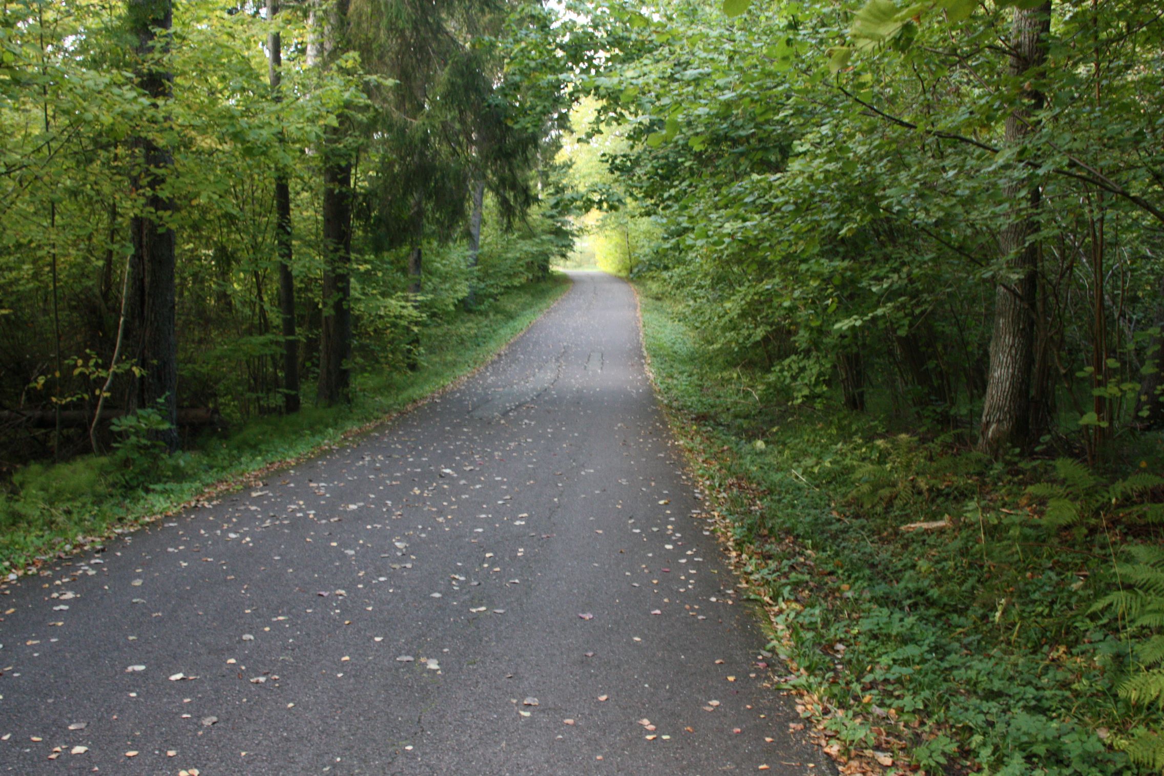
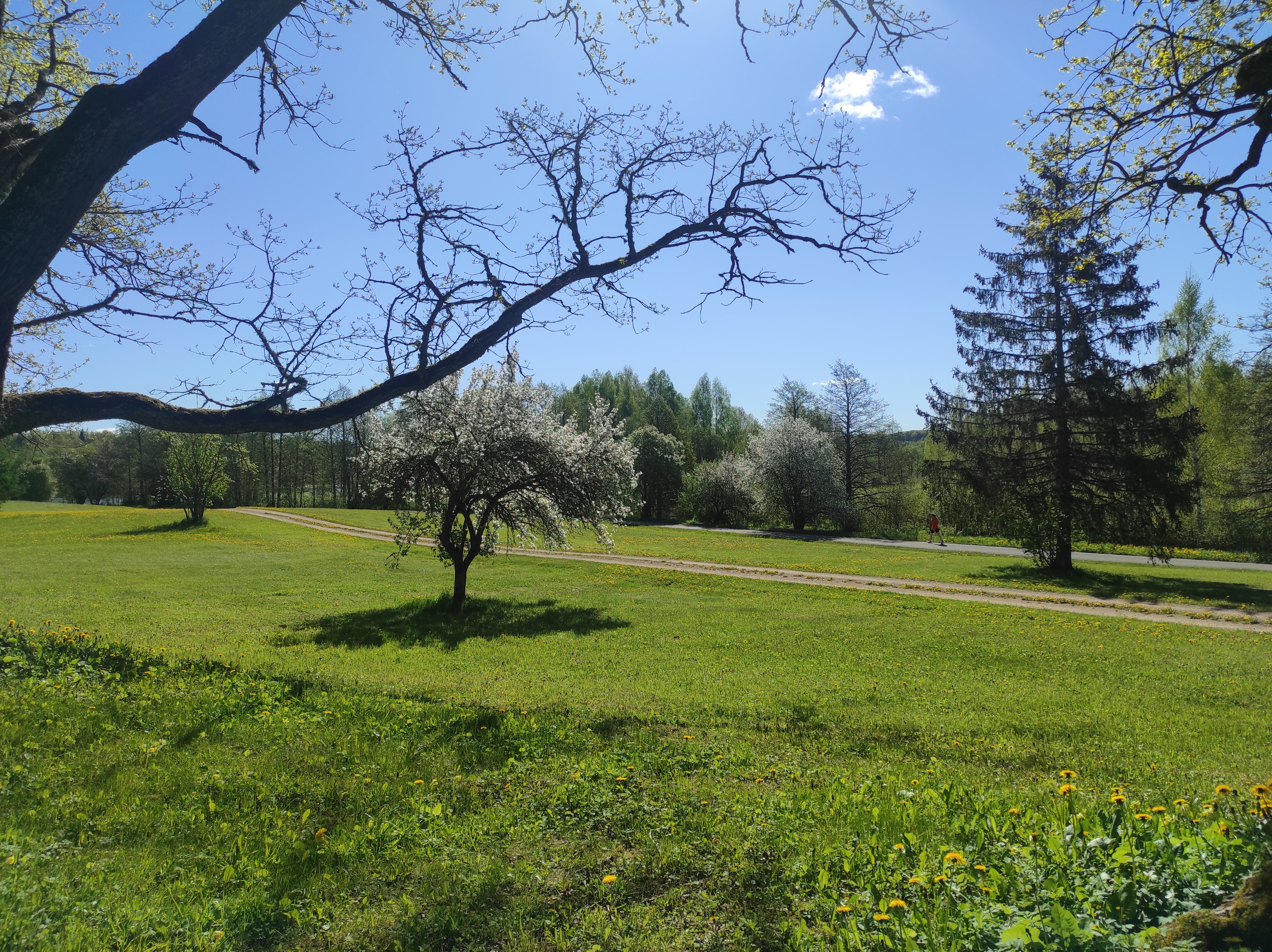
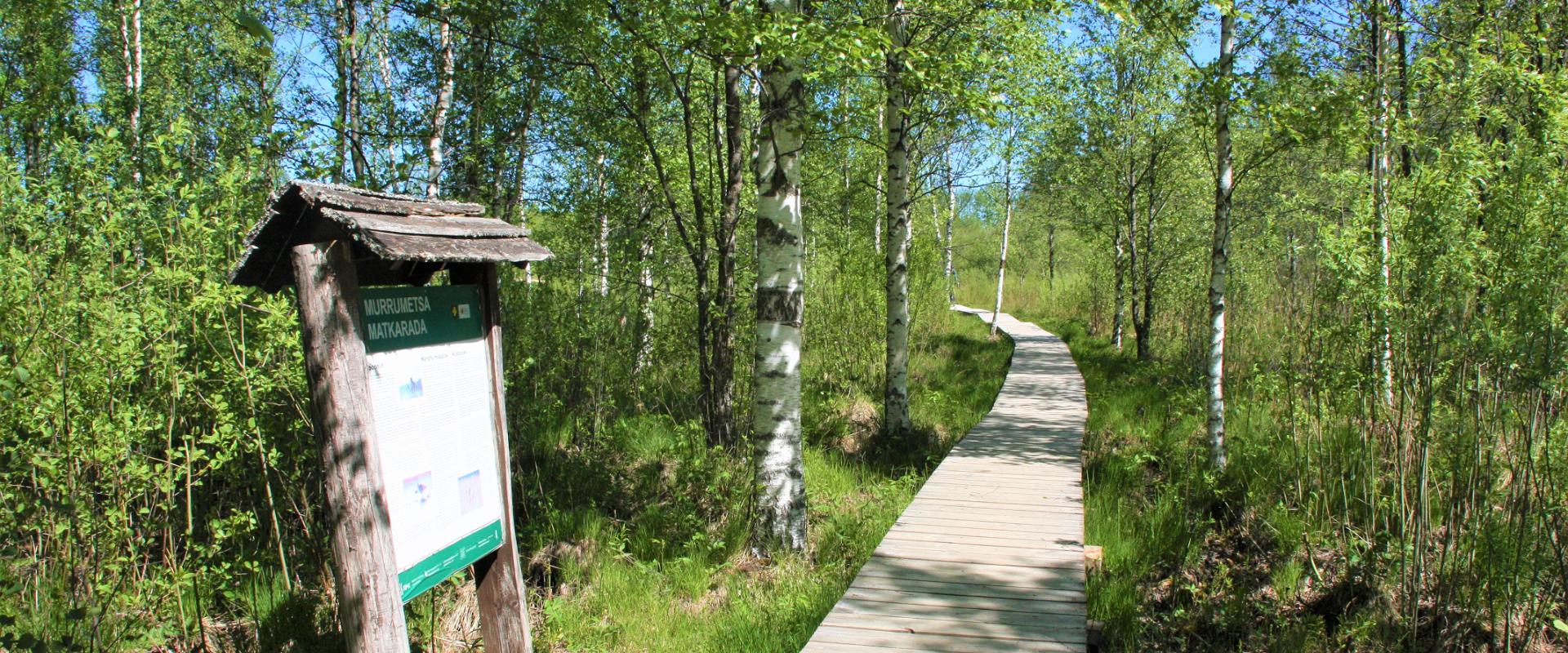
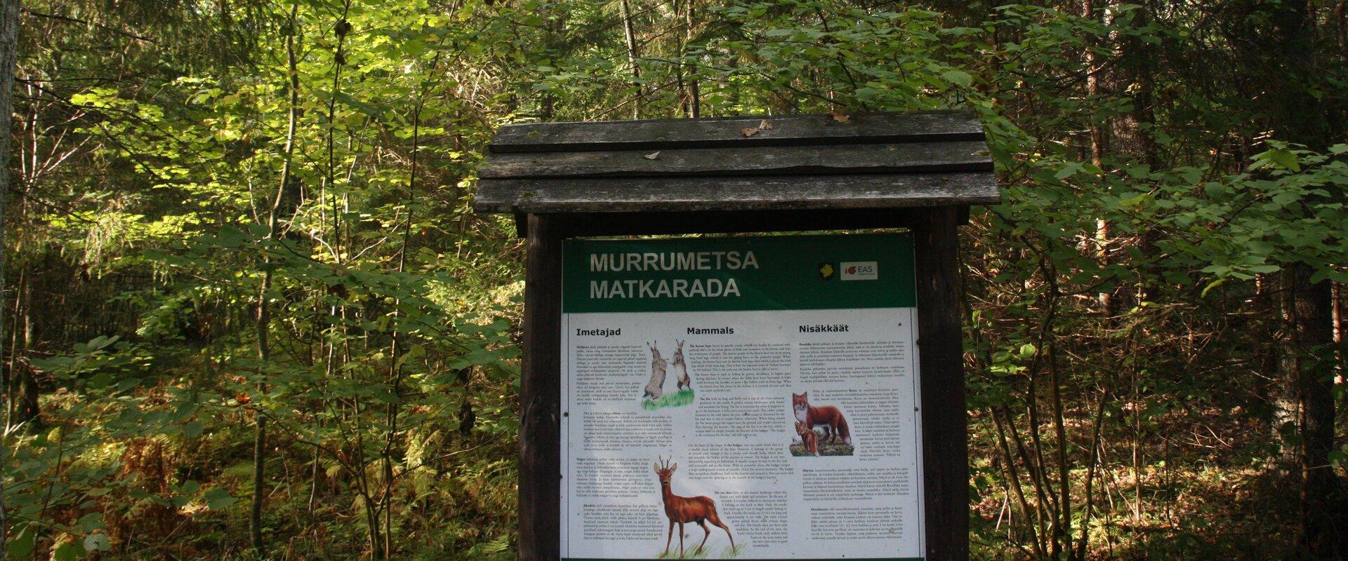
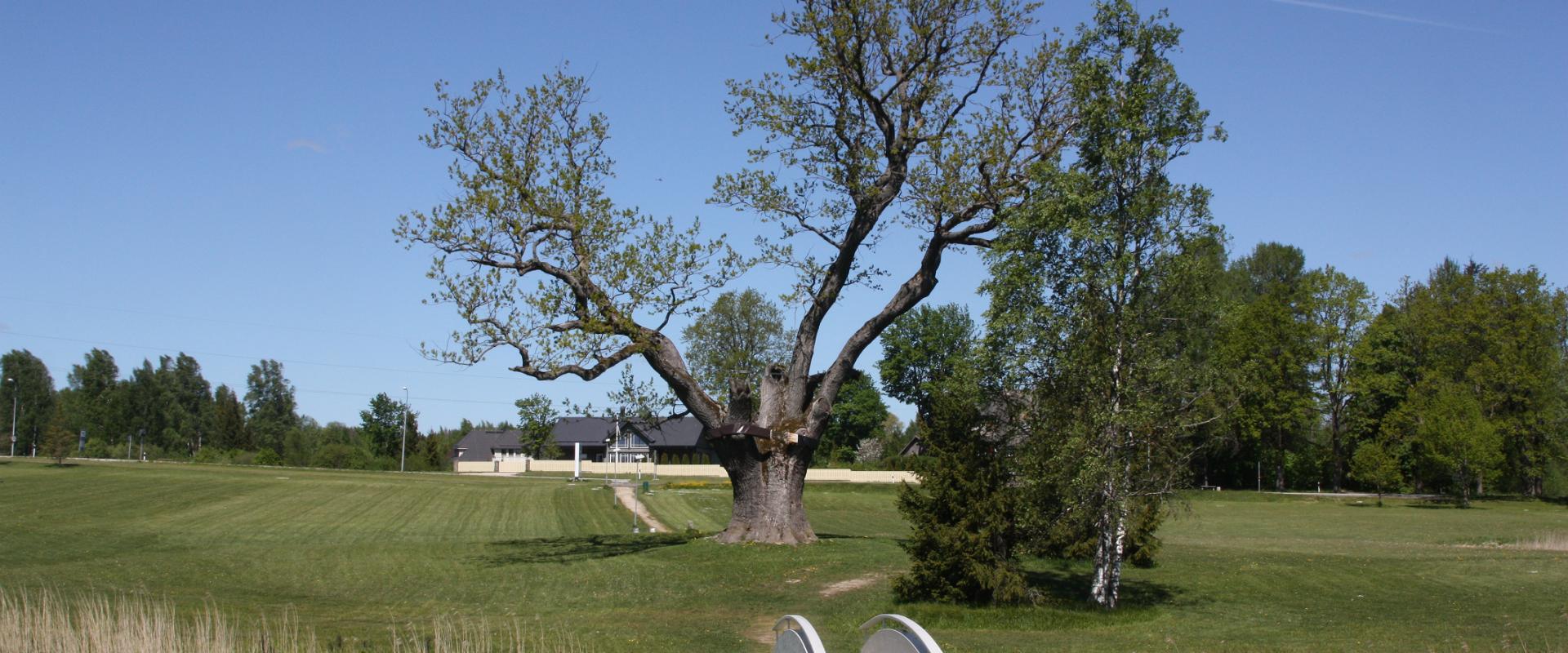
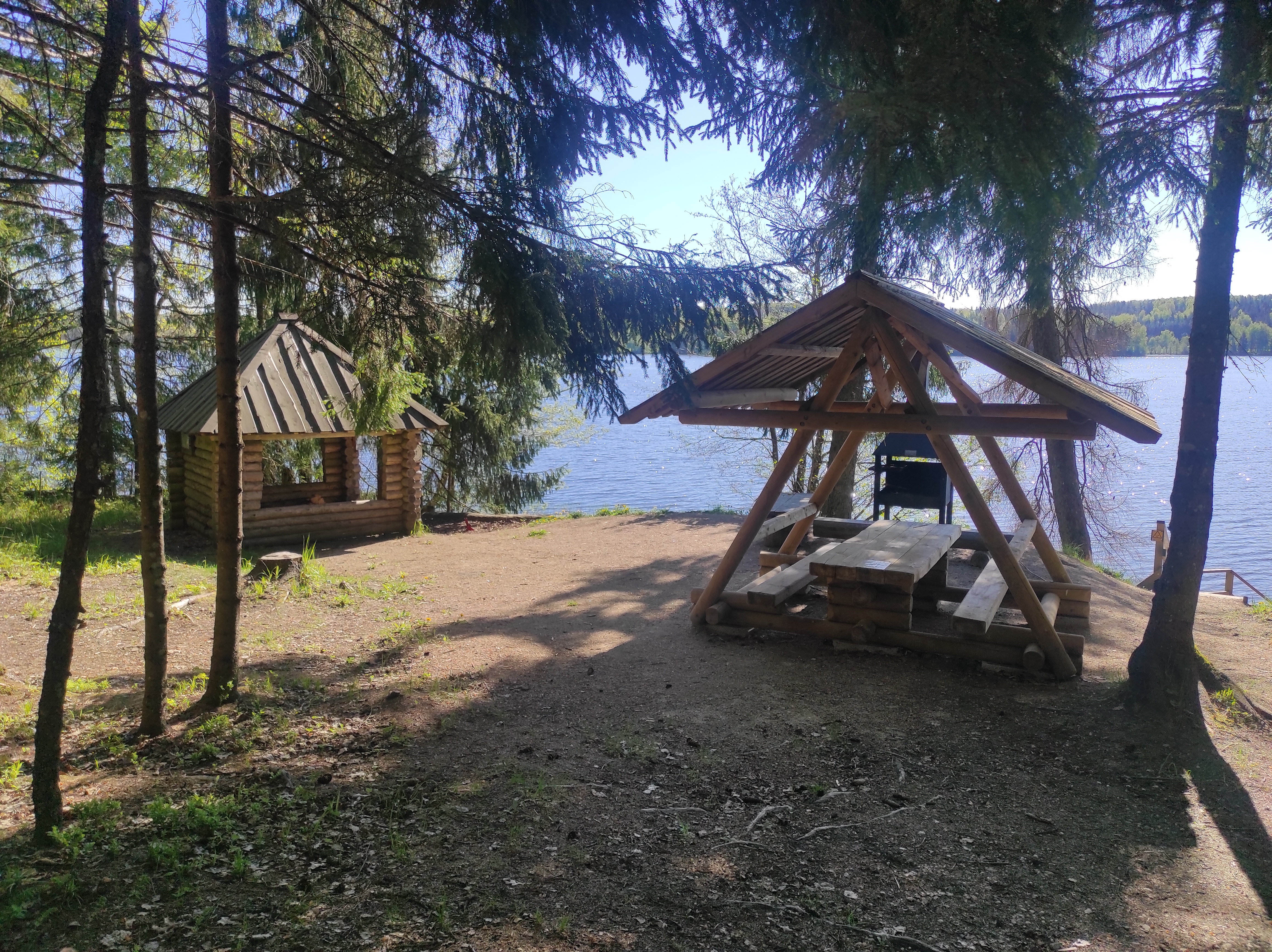
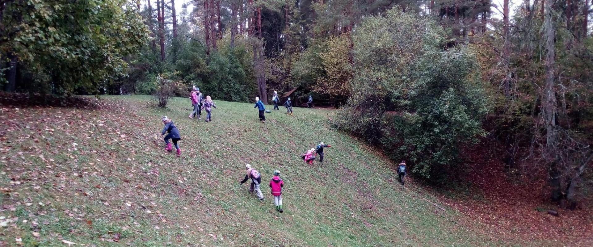
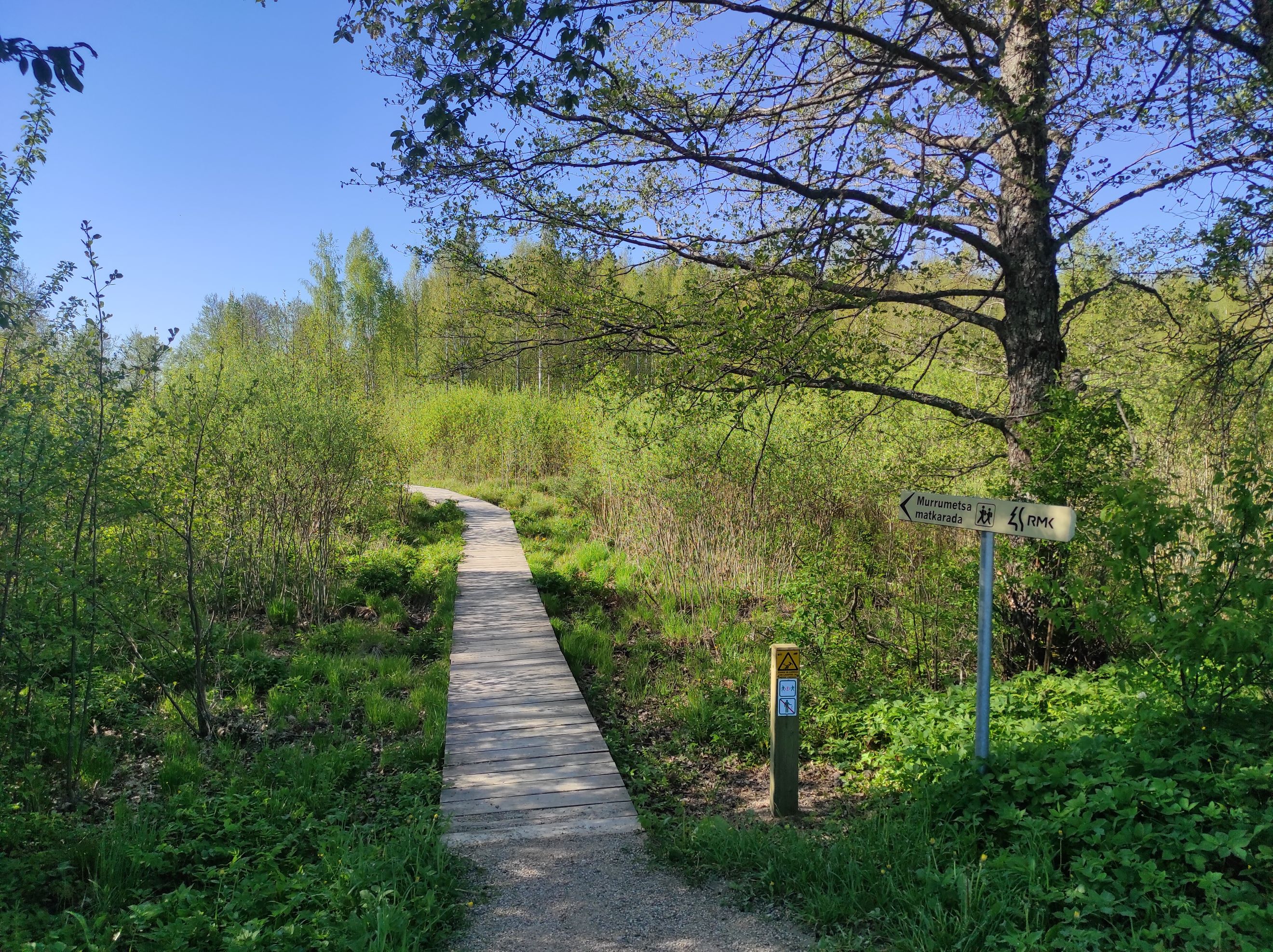
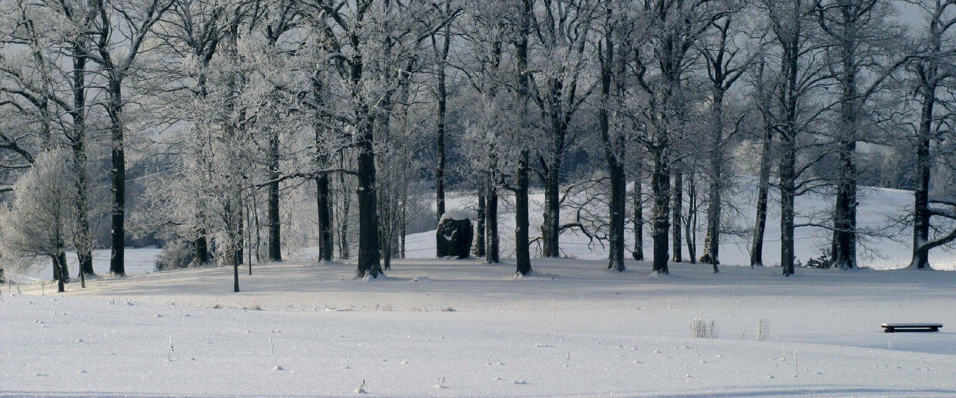
Murrumetsa Hiking Trail starts from the Pühajärve Manor Park and runs through Murrumetsa forest back to the park. It takes about 1-1.5 hours to pass the 3.5 km track. There are information boards next to the track that give information about the flora and fauna of our forests and cultivated landscapes. The track passes the ancient Pühajärv War Oak (circumference 6.98 m and height 22 m) and the commemorative stone to mark the Pühajärv War of 1841, which can be found among the oaks of Murrumets Forest. There are also rest areas and fire sites by the trail.

Mugavused

  • Information boards

Часы работы

Круглый год

Ööpäevaringselt

Контакты

  • +372 676 7122
  • info.kiidjarve@rmk.ee

Ссылки

rmk.ee

Подробнее

  • Hiking Trails

Vapramäe nature study and hiking trail

On the Vapramäe nature study trail (3.5 km), which is part of the Vapramäe–Vellavere–Vitipalu network, you can enjoy the eskers, read legends about Kalev's Son, and explore Põlismänd pine, the King's linden, Kerikmägi citadel, and much more.The nature study trail, marked with white-red-white, starts at the Vapramäe stop. There is also a picnic area with a campfire site on the hiking trail by the Elva River. You can go even further from the Vapramäe Nature House and visit the Tartu Observatory. It is easy to get there, because the domes of the observatory can be seen from afar.

  • Hiking Trails

Lõunalaagri hiking trail

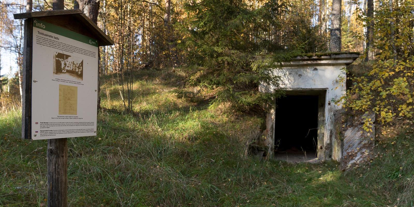
The 2 km long hiking trail of Lõunalaager is established on the former grounds of the Estonian Defence Forces' Lõunalaager. In 1920, an impressive military complex was built here, where infantrymen practiced during the summer. Although nothing remains of the buildings, the shimmering reservoir among the trees, the old bridge, several foundation stones, and trenches speak of the realities of that time. Information boards provide additional reading about the past. It's an experience to perceive how quickly nature hides everything once made by humans. The Lõunalaager hiking trail offers a unique opportunity to combine a light nature walk with the heritage of Estonia's military history. The natural course of the trail around the reservoir and over the old bridge creates a peaceful, almost meditative atmosphere. The RMK campfire site allows for a rest break and, if necessary, camping. The trail is marked, and information boards help understand the area's significance in the history of the Estonian Defence Forces. Crossing with the shooting range cycling trail offers an additional opportunity for longer movement – thus, a more sporty day loop can be initiated from Lõunalaager.

  • Lookout towers
  • Hiking Trails

Kekkonen hiking track

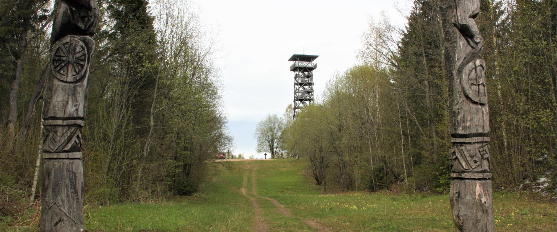
The Kekkonen hiking track can be used all year round – in summer for hiking, jogging and cycling and in winter for skiing. The track was named after former Finnish president Urho Kaleva Kekkonen, who visited Kääriku. The 15 km track starts from Kääriku stadium and passes through several spots of natural beauty, including Harimägi Hill – one of the highest points in the Otepää Highlands (211.3 m above sea level). Its viewing tower, which stands 26 metres high, is right next to the hiking track. Those with more energy can follow the additional 5 km loop on Harimägi Hill.

  • Hiking Trails

Hiking trails at Lake Kirikumäe

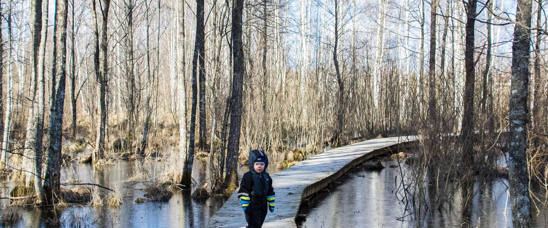
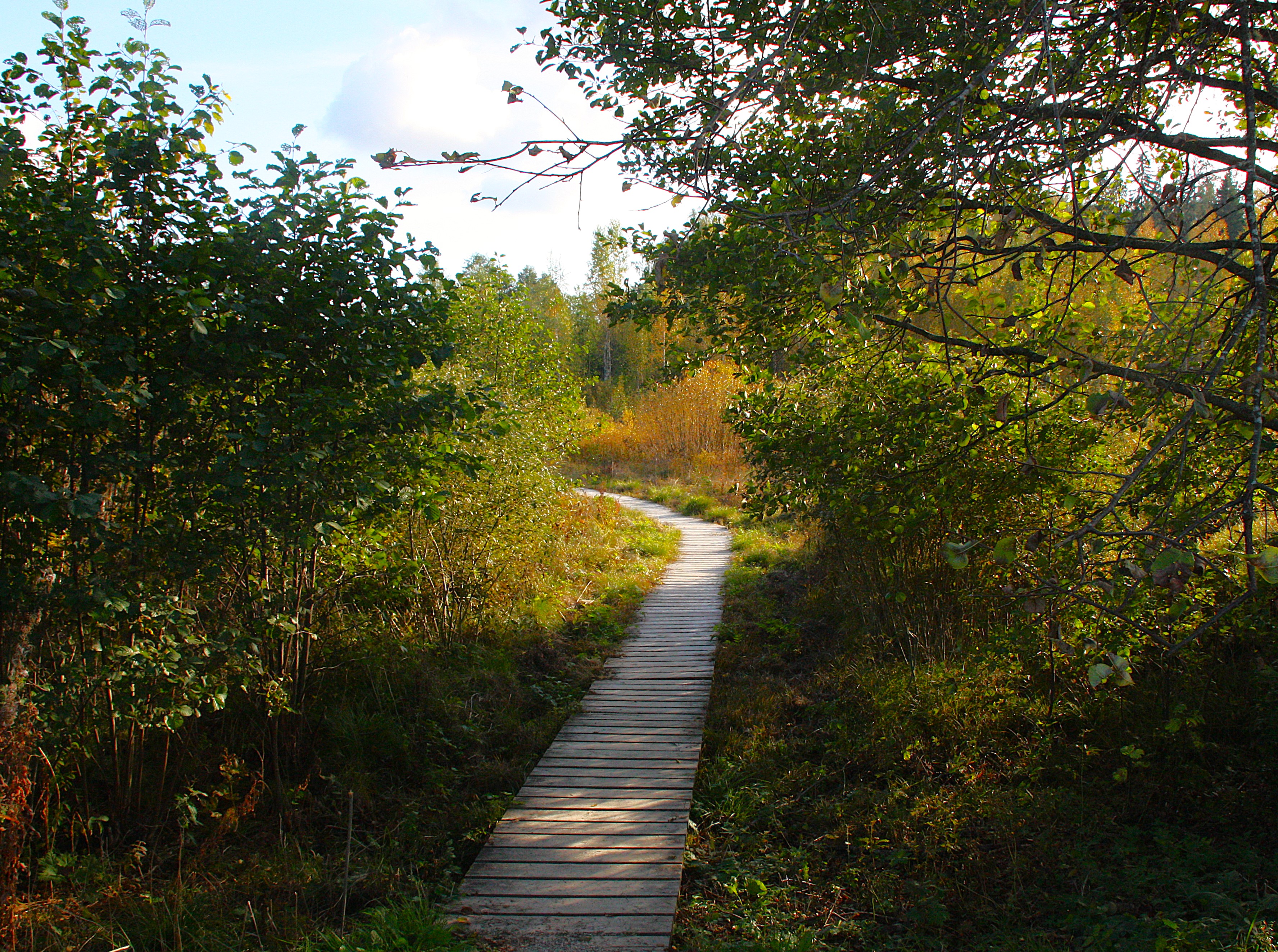
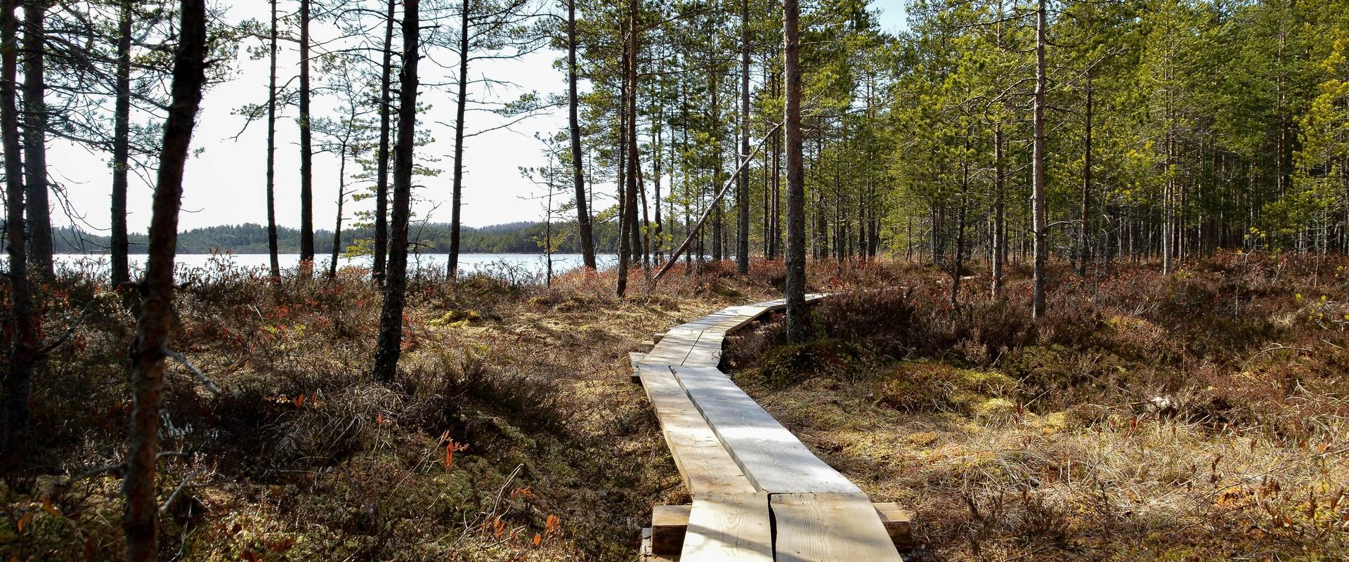
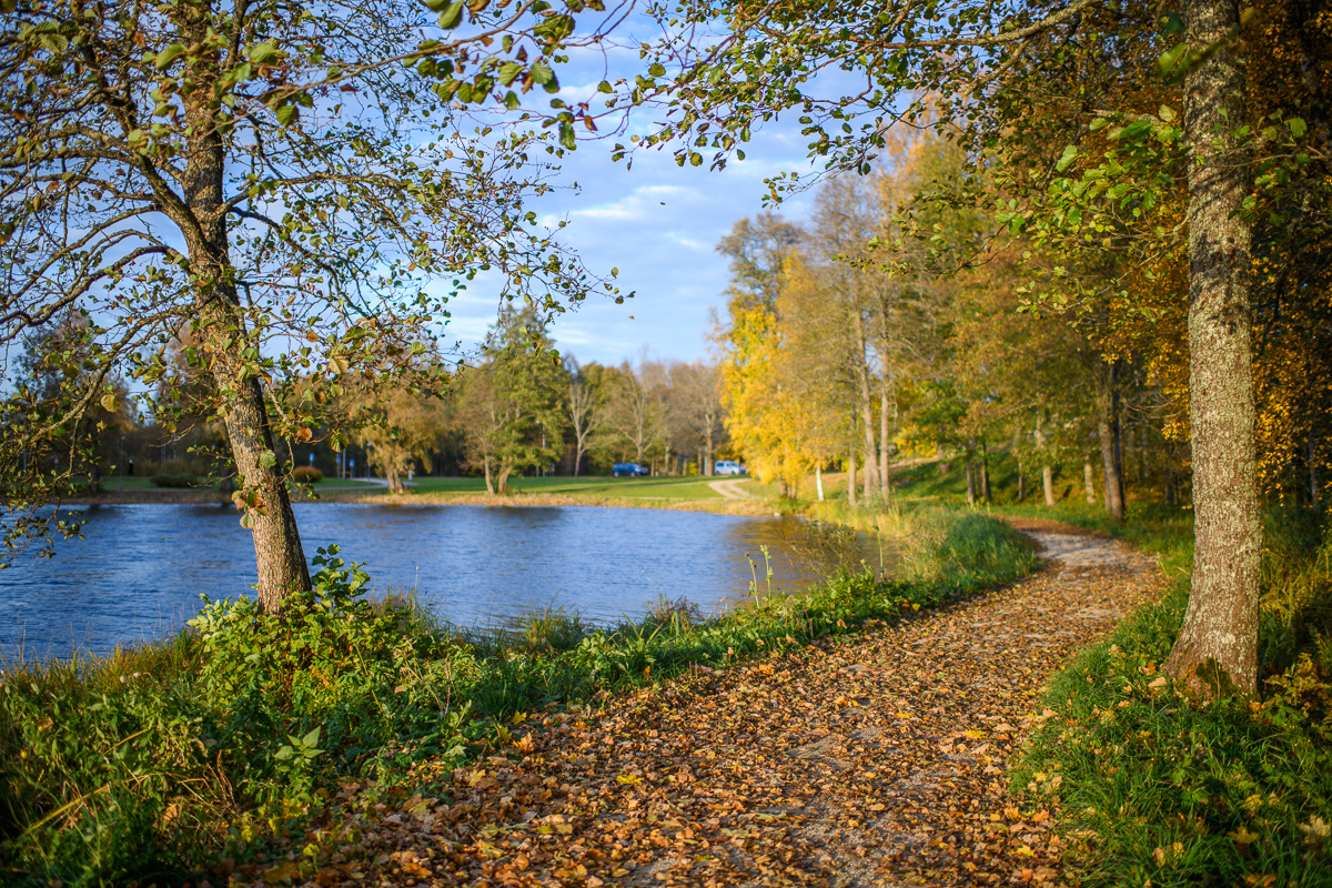
Kirikumäe's 3.2-km-long hiking trail winds around the lake of the same name, which is known as the best swimming area in the region. There is a bog on the southern shore of the lake and the hiking trail also runs across the bog. For this purpose, a boardwalk has been built there. In any case, however, you must be prepared to get your feet wet here and there. There are information boards, campfires, and forest trails on the track.

  • Lookout towers
  • Hiking Trails

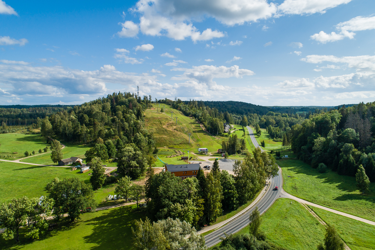
Väike Munamägi Hill

Climbing to the top of Munamägi Hill is worth the effort – the view covers more than 50 km. The absolute height of Väike or Otepää Munamägi Hill is 207.5 m (relative height exceeds 80 m). There is a spring on the north-eastern slope of Väike Munamägi (in the direction of Otepää) that has been considered the start of the Väike Emajõgi River for a long time. The boulder on the edge of the first plain is the biggest in the area – 250,000 kg. Take a look at the aerial panorama (picture by Joel Tammet).

  • Hiking Trails
  • Parks
  • Beaches

Lake Pühajärv

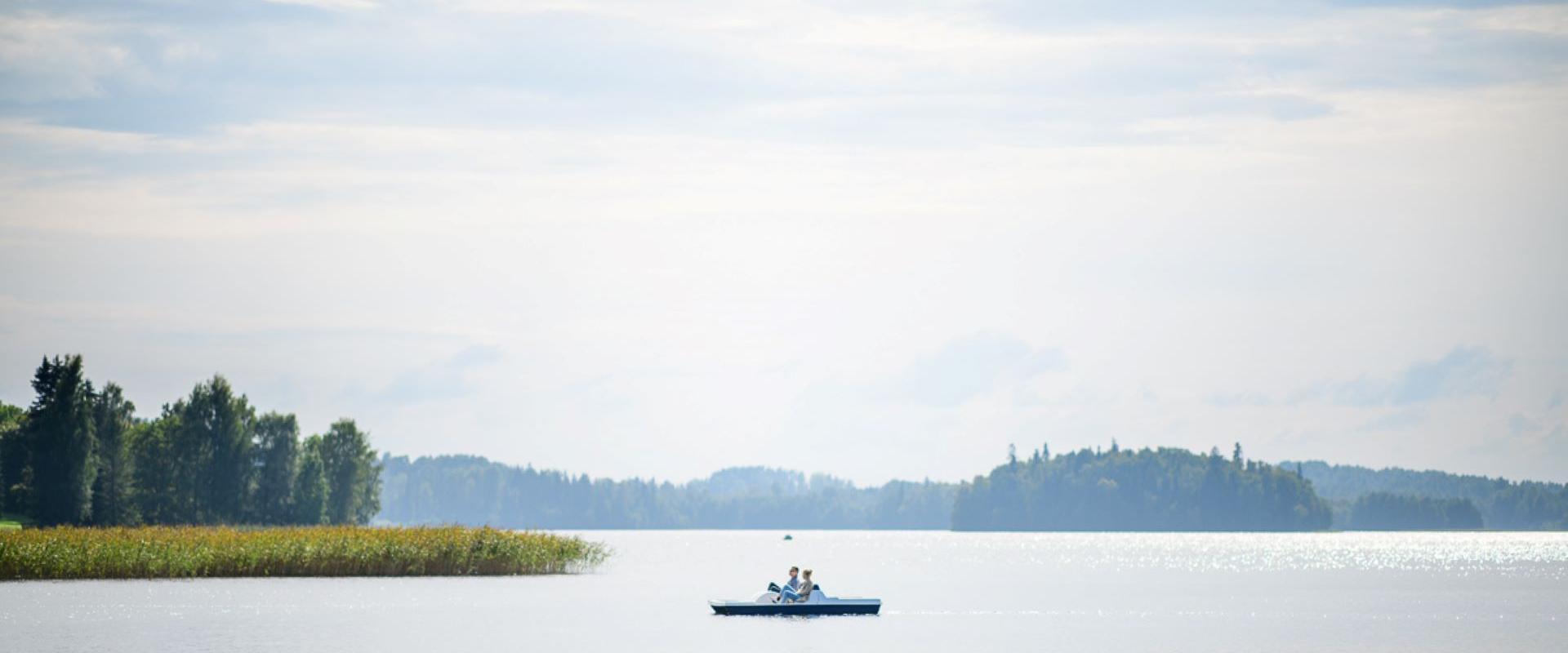
Pühajärv, with its picturesque winding shoreline and four islands, is the largest lake in Otepää Nature Park. At the northern tip of Pühajärv, there is a beach area with a beach house, ball courts, a children's playground, recreation areas, a café, and a boat harbor. At the southern tip is the Kooliranna recreation area, and from there begins the Väike Emajõgi, which meanders through Valgamaa. Pühajärve Park is the starting point for the Murrumetsa hiking trail, and around the lake runs the 12 km long Pühajärve hiking trail, which passes by the lake's most famous spring, the Armuallikas. In winter, when weather conditions are suitable, an ice trail is created on the lake for hiking, and a winter swimming area is open at Pühajärve Beach.Pühajärv has provided plenty of inspiration for writers and artists. For example, Fridebert Tuglas and Eino Leino have vacationed here. Information about Konrad Mägi's Pühajärv paintings can be found on an info board by the lakeshore near the GMP Pühajärve restaurant. In 1991, the Dalai Lama, Tenzin Gyatso, visited Otepää and blessed the lake, an event commemorated by a wooden sculpture on the shore of Pühajärve Park.
  • Hiking Trails

Emajõe river shore path

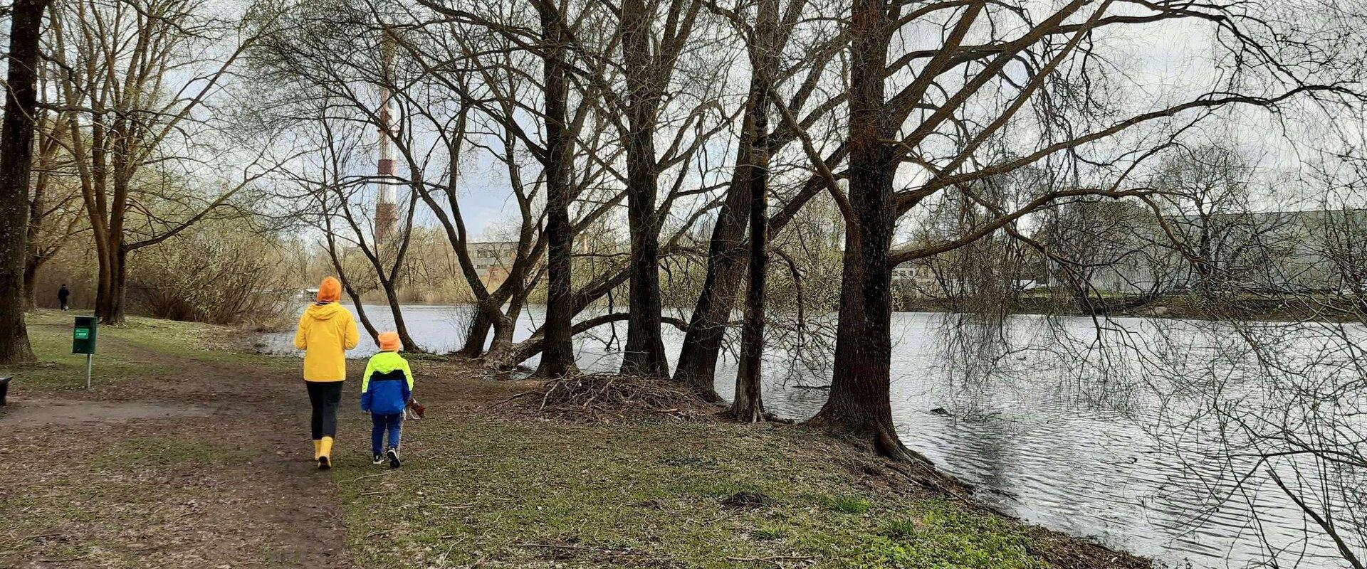
The 4-km Emajõe river shore path starts from the Turu bridge between River Emajõgi and Anne channel, and it runs on the Natura 2000 protection area and offers spacious views of the Anne channel, River Emajõgi, ship and boat traffic, and Karlova harbour.The hiking trail features information boards, riverside picnic areas, and several bridges, you can also meet hobby fishermen there. During spring, the path may be flooded and provides an opportunity to enjoy the views of the flooded meadow. When the trail ends, you can walk the same way back. Another option is to turn left to the gravel road, which leads to the Ihaste cycling and walking road.

  • Camping sites
  • Hiking Trails
  • Beaches

Lake Pühajärv hiking trail

The hiking trail that encircles Lake Pühajärv starts near the centre of Otepää Nature Park. The 14 km trail takes you on a voyage of discovery around one of the most unique and beautiful lakes in Estonia. Covering the whole track takes from 3–6 hours. There are rest areas and barbecue sites along the way. Part of the track (approximately 2.2 km) runs along the Pühajärve–Kääriku exercise track by the Otepää–Kääriku highway. You can cover the track by foot or bike. Cyclists must bear in mind that there are parts of the track on which you will have to push your bike instead of riding it. The Angunina, Kiigemäe and Koolirand campfire sites are located on the trail. There, you can make a fire and camp.

  • Privacy Policy

"*"обозначает обязательные поля

Это поле используется для проверочных целей, его следует оставить без изменений.
Я разрешаю маркетинг