• Avasta
    • Еда
    • Природа
    • Культура
    • Семья
    • Спорт
    • Сообщество
    • Блог
  • Planeeri
    • Размещение
    • Информация
    • Varamu
RUS
  • РусскийRUS
  • EestiEST
  • EnglishENG
  • LatviešuLAT
  • SuomiFIN
RUS
  • РусскийRUS
  • EestiEST
  • EnglishENG
  • LatviešuLAT
  • SuomiFIN
Populaarsed otsingud:
Näita kõiki tulemusi
  • Nature and Activities
  • Nature
  • Camping sites
  • Hiking Trails

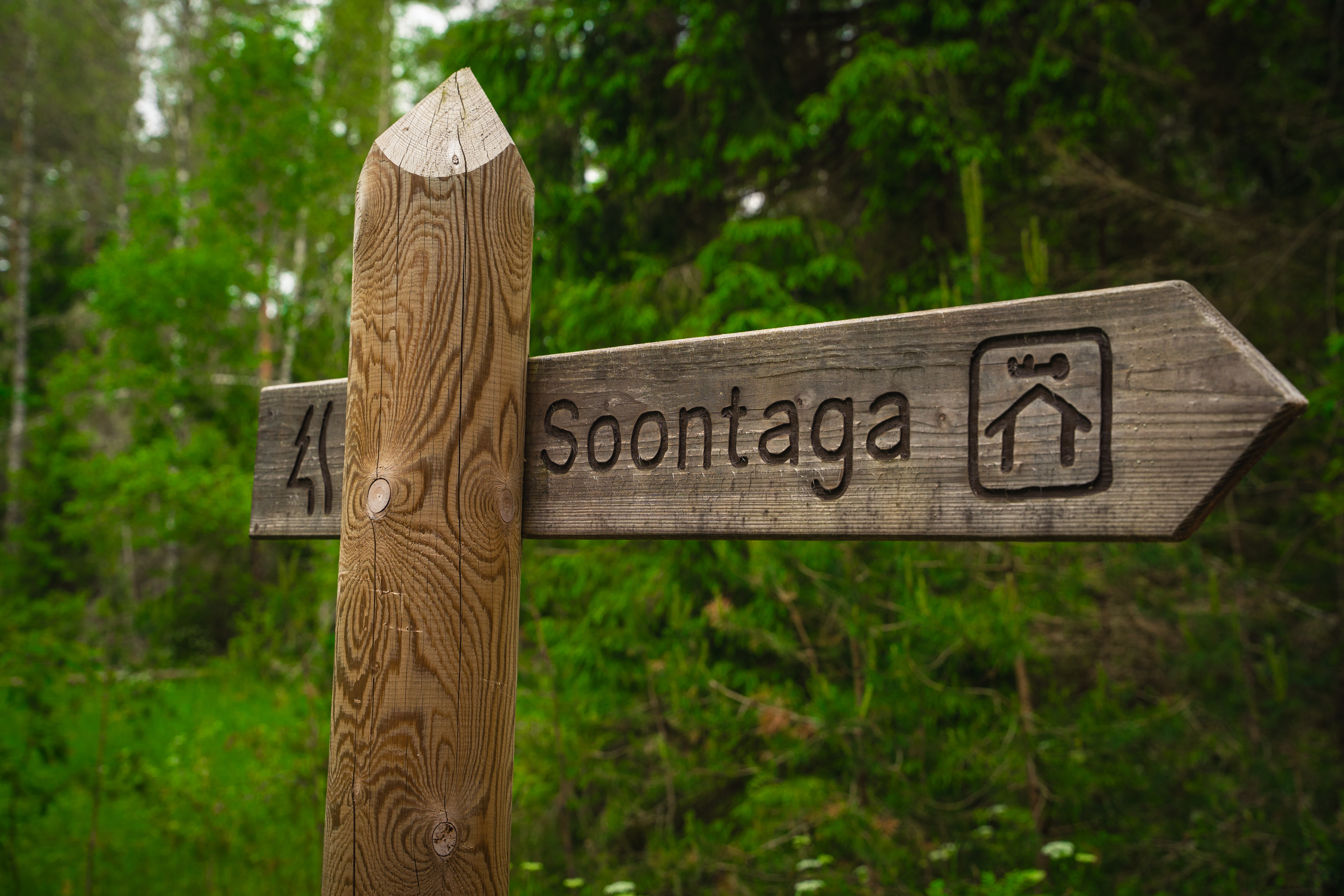
Soontaga hiking trail

Tõrva vald, Valga maakond, 68617

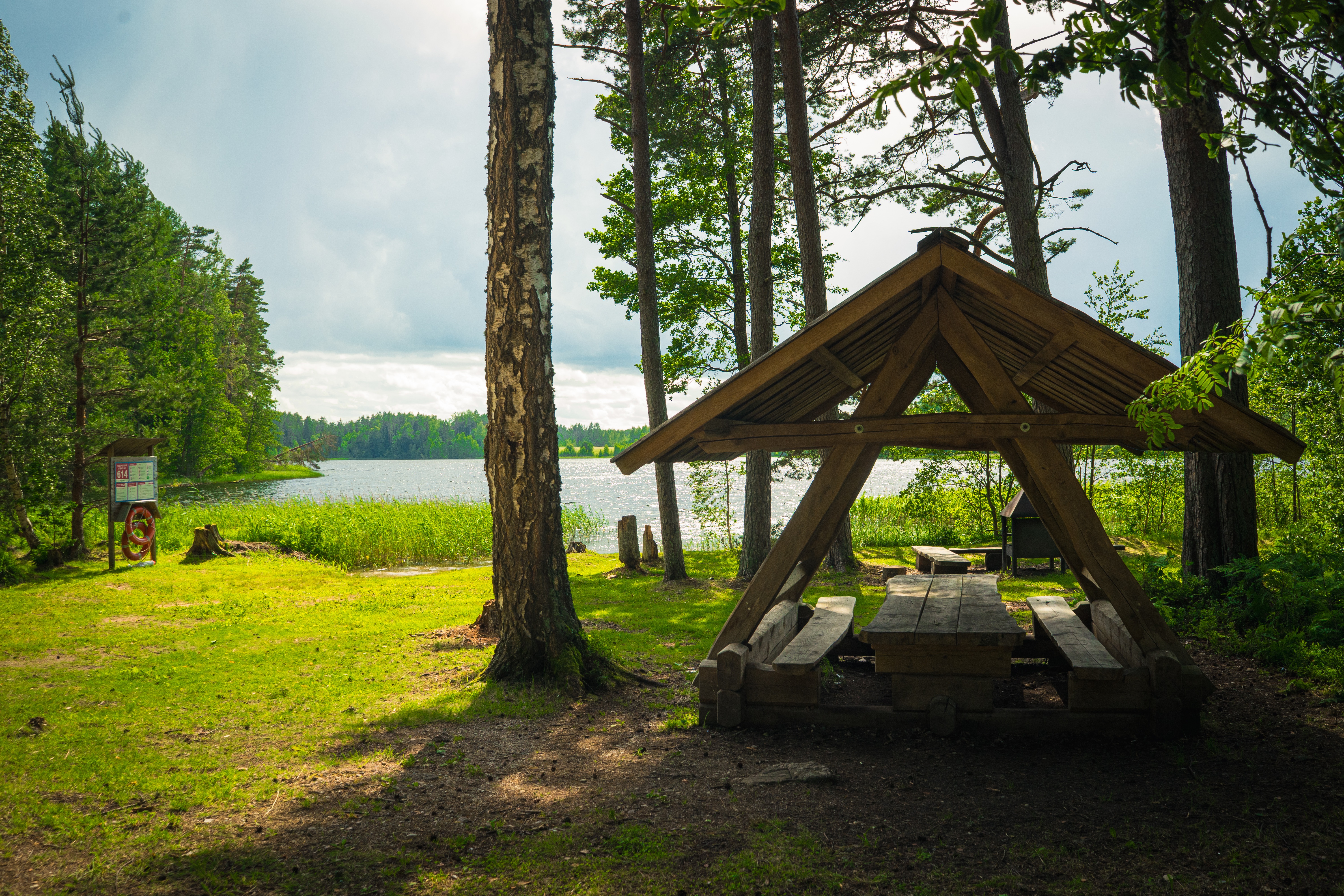
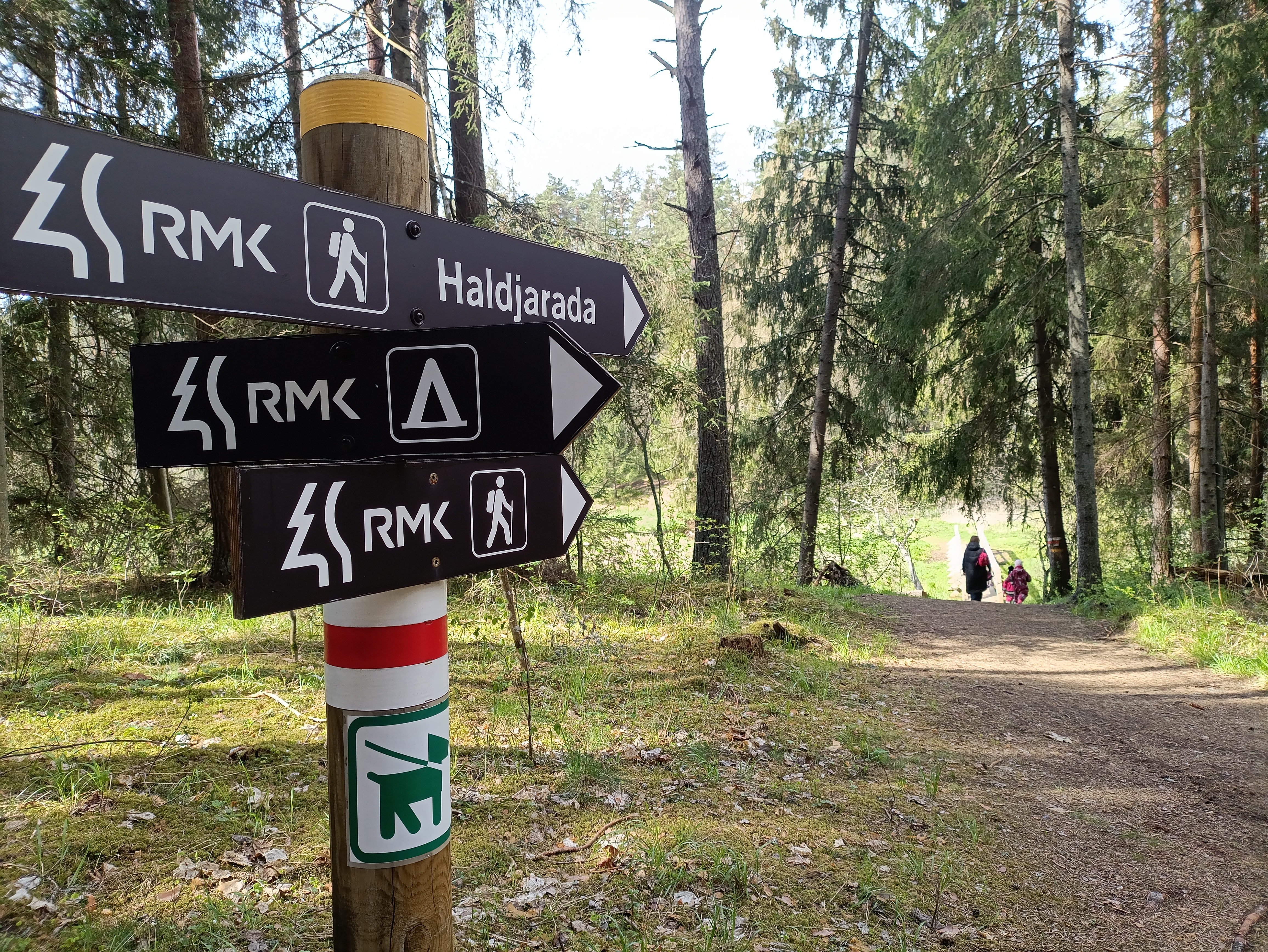
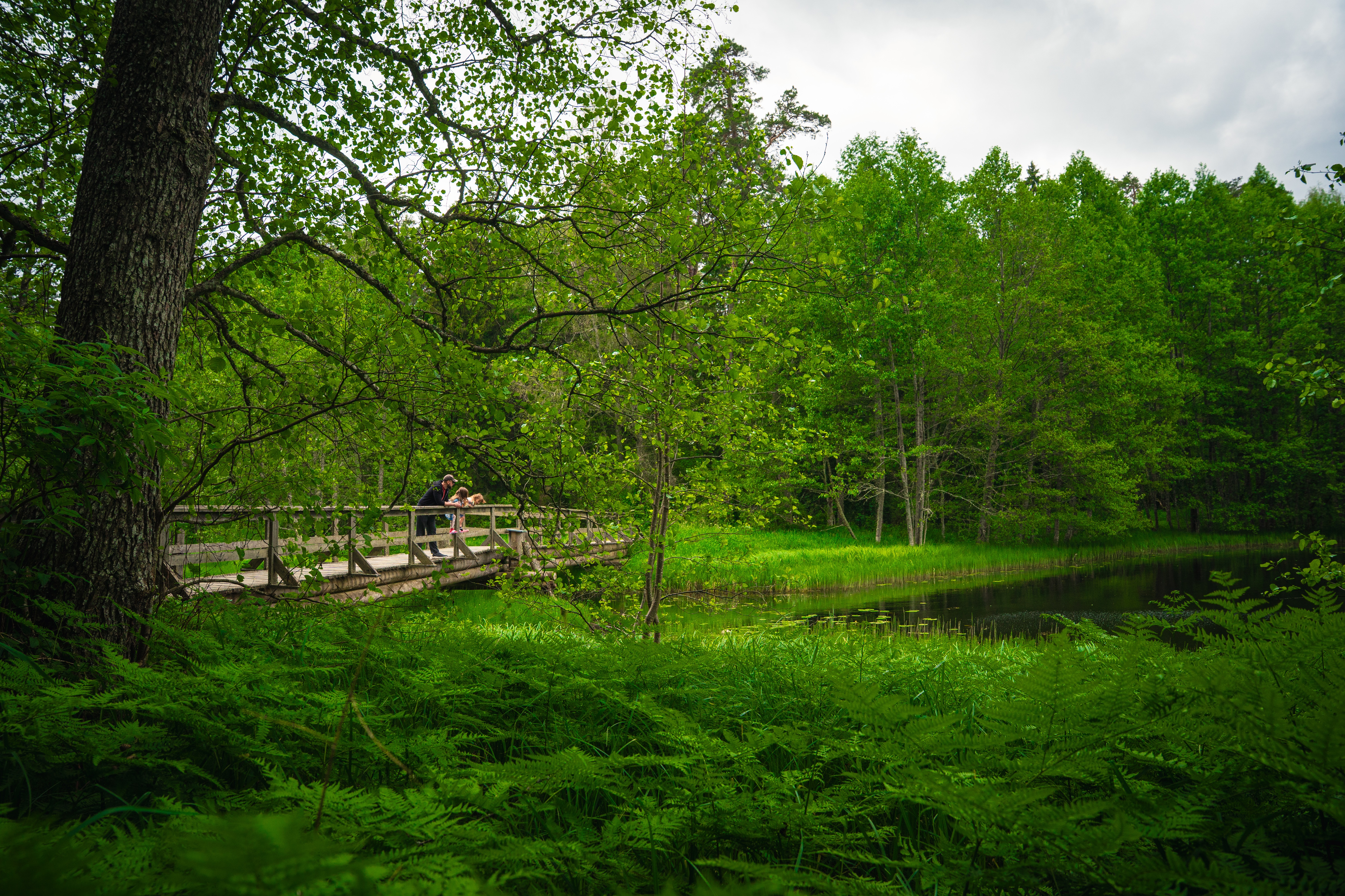
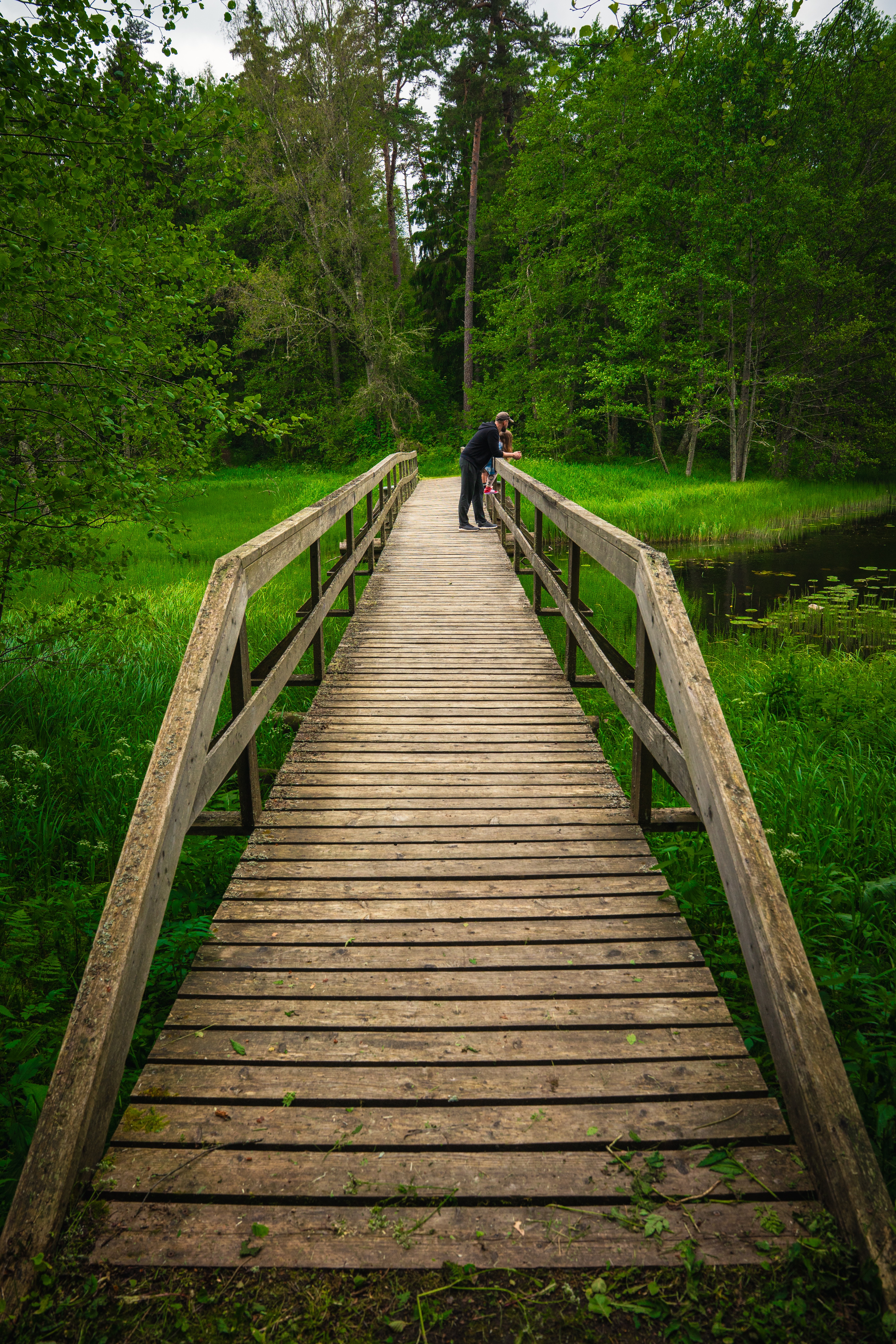
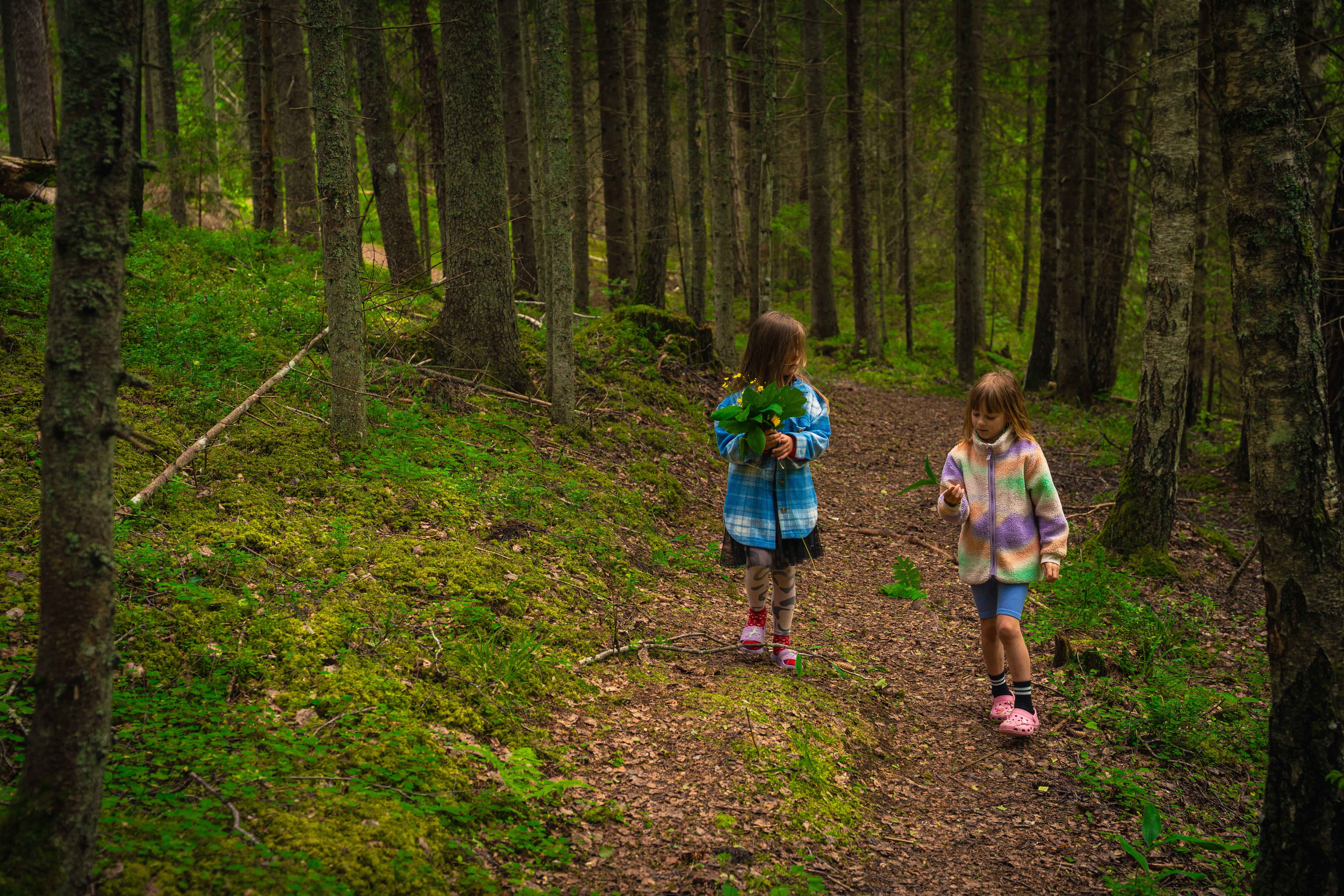
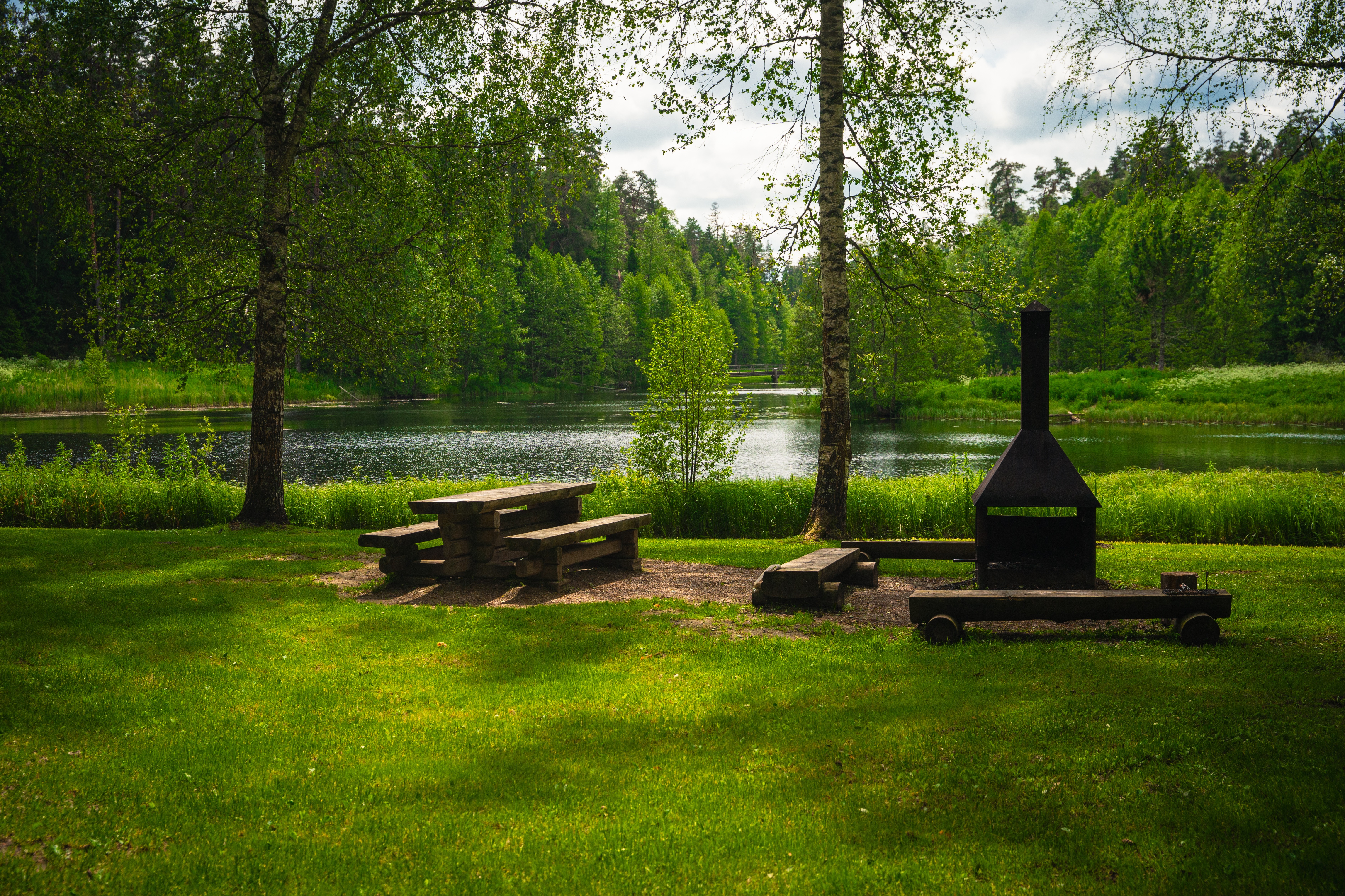
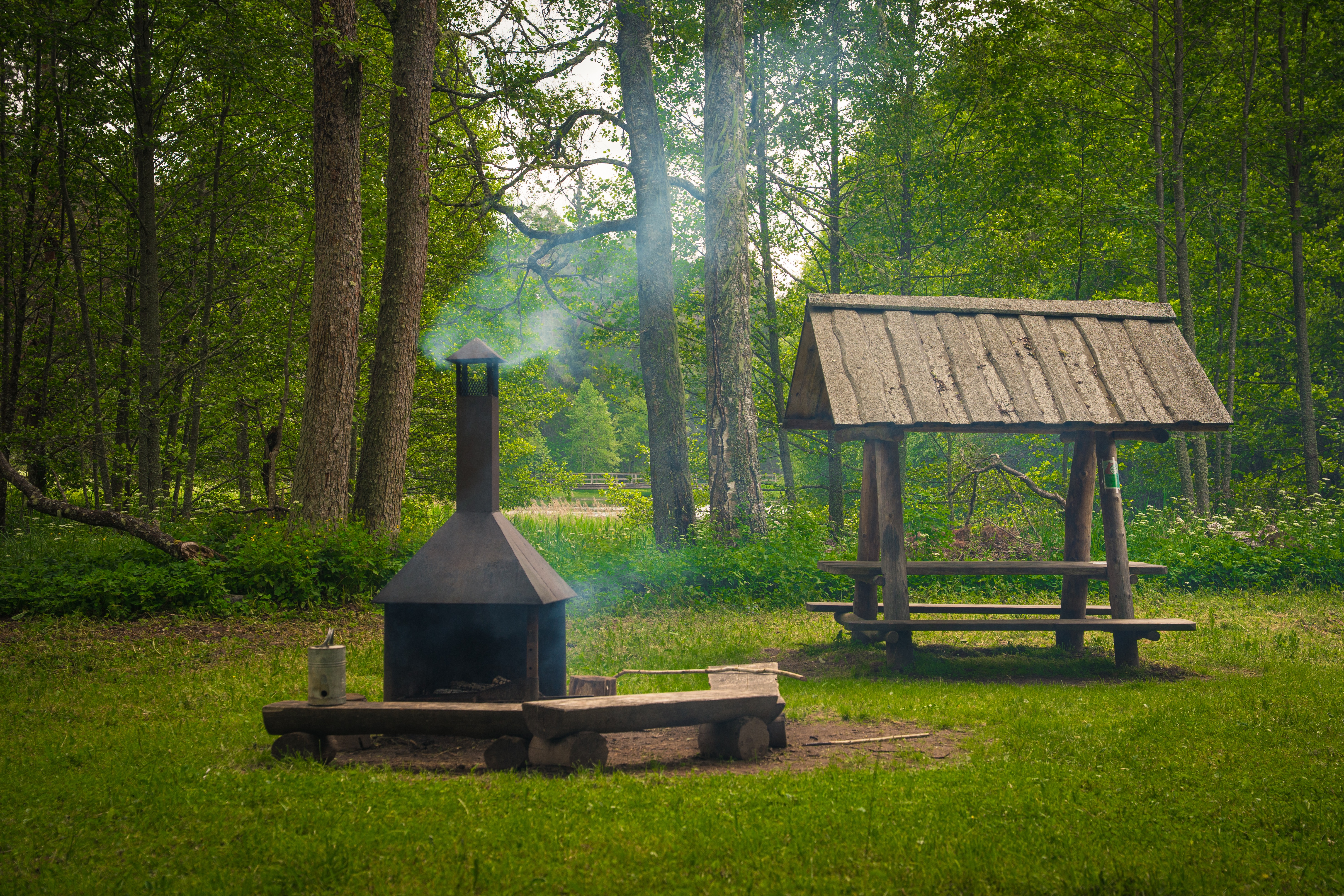
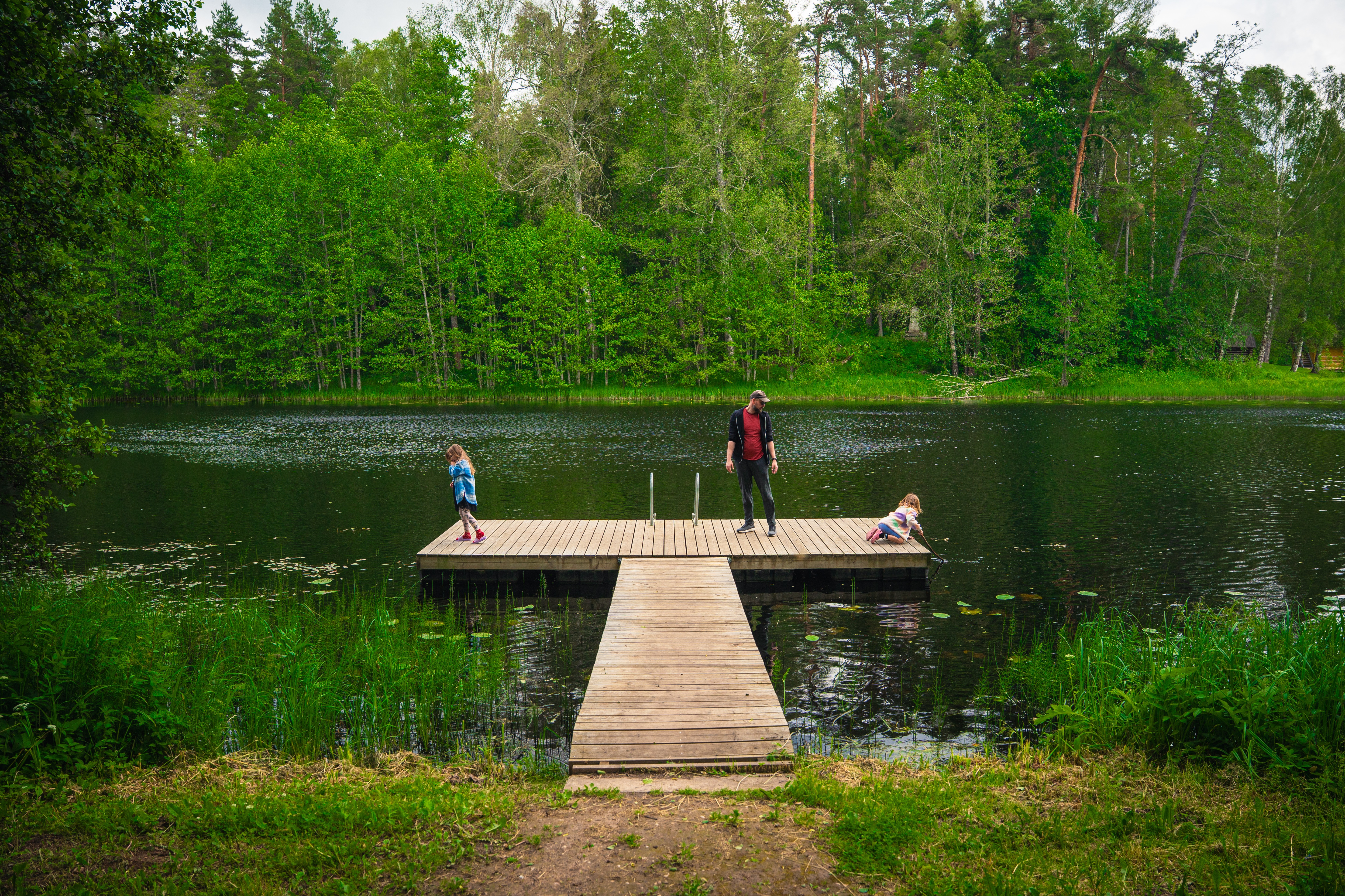
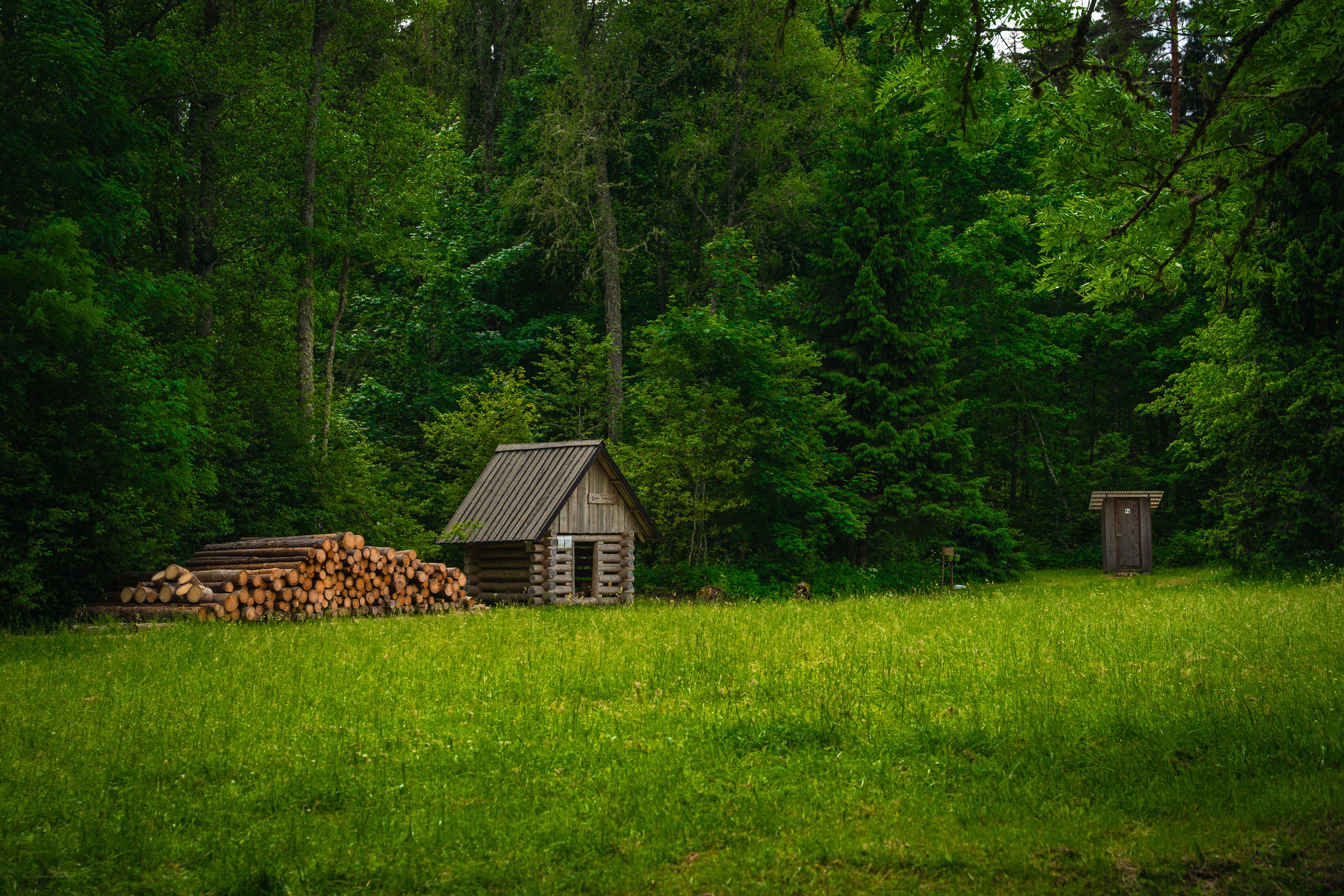
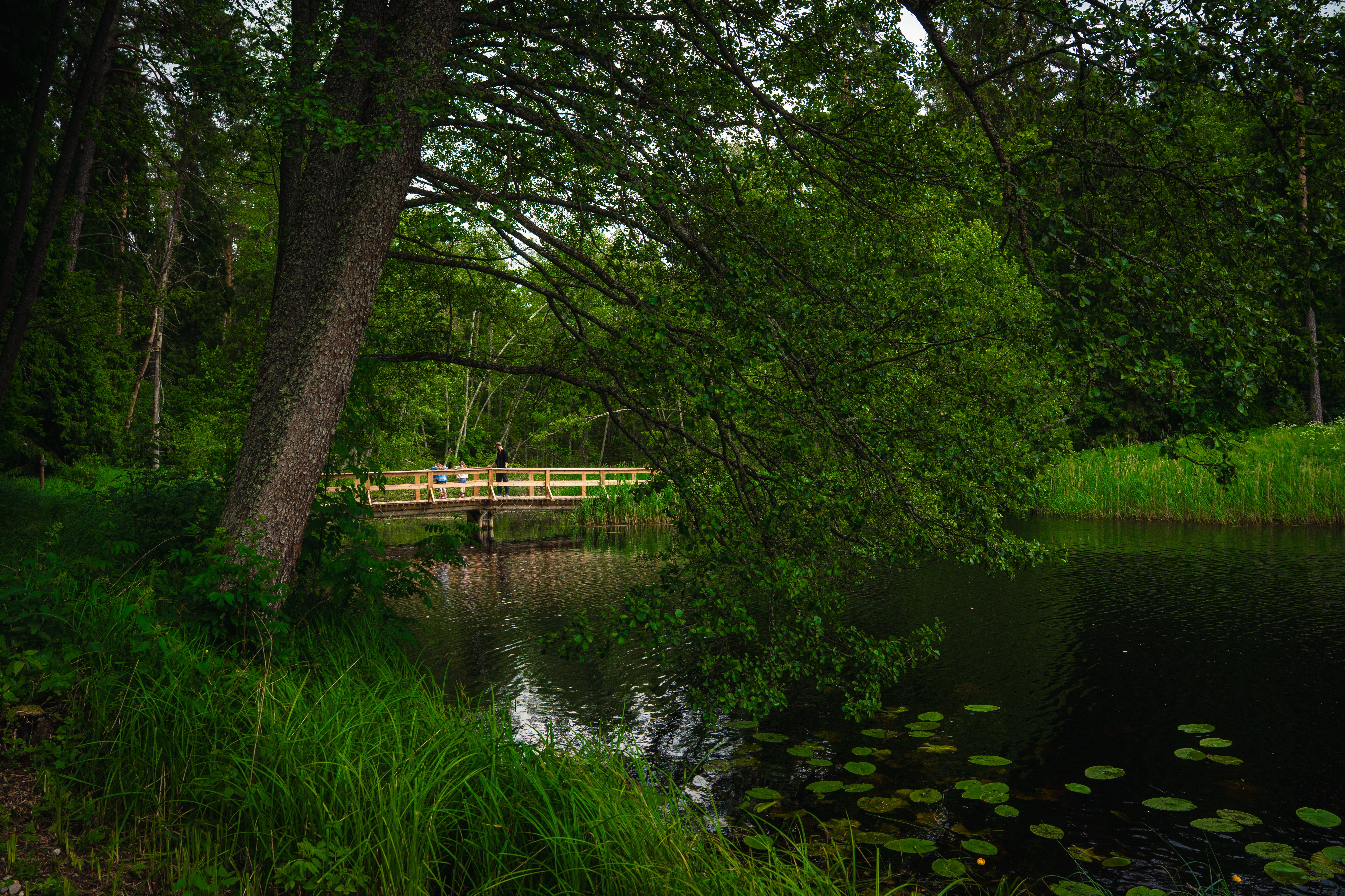
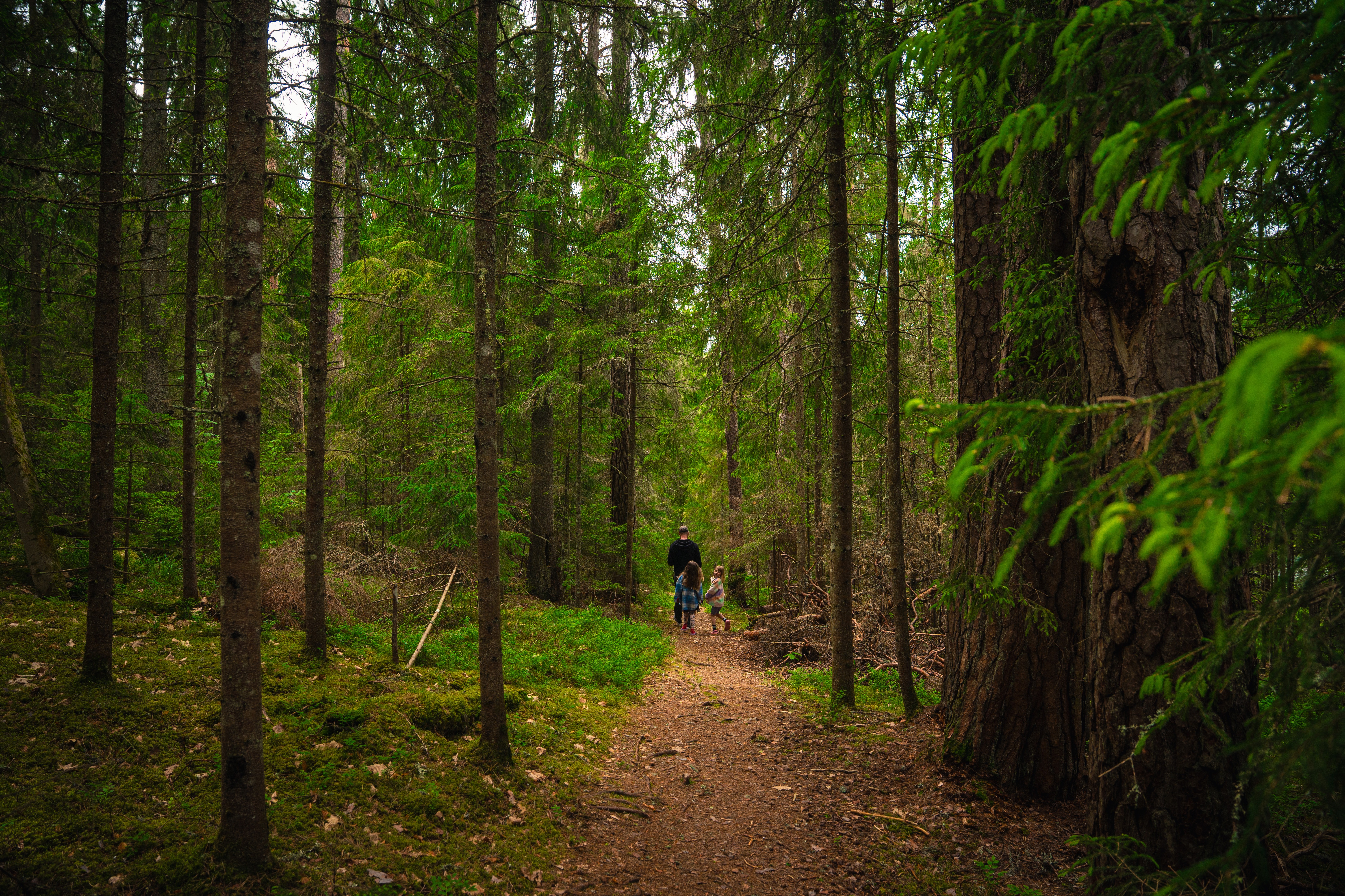
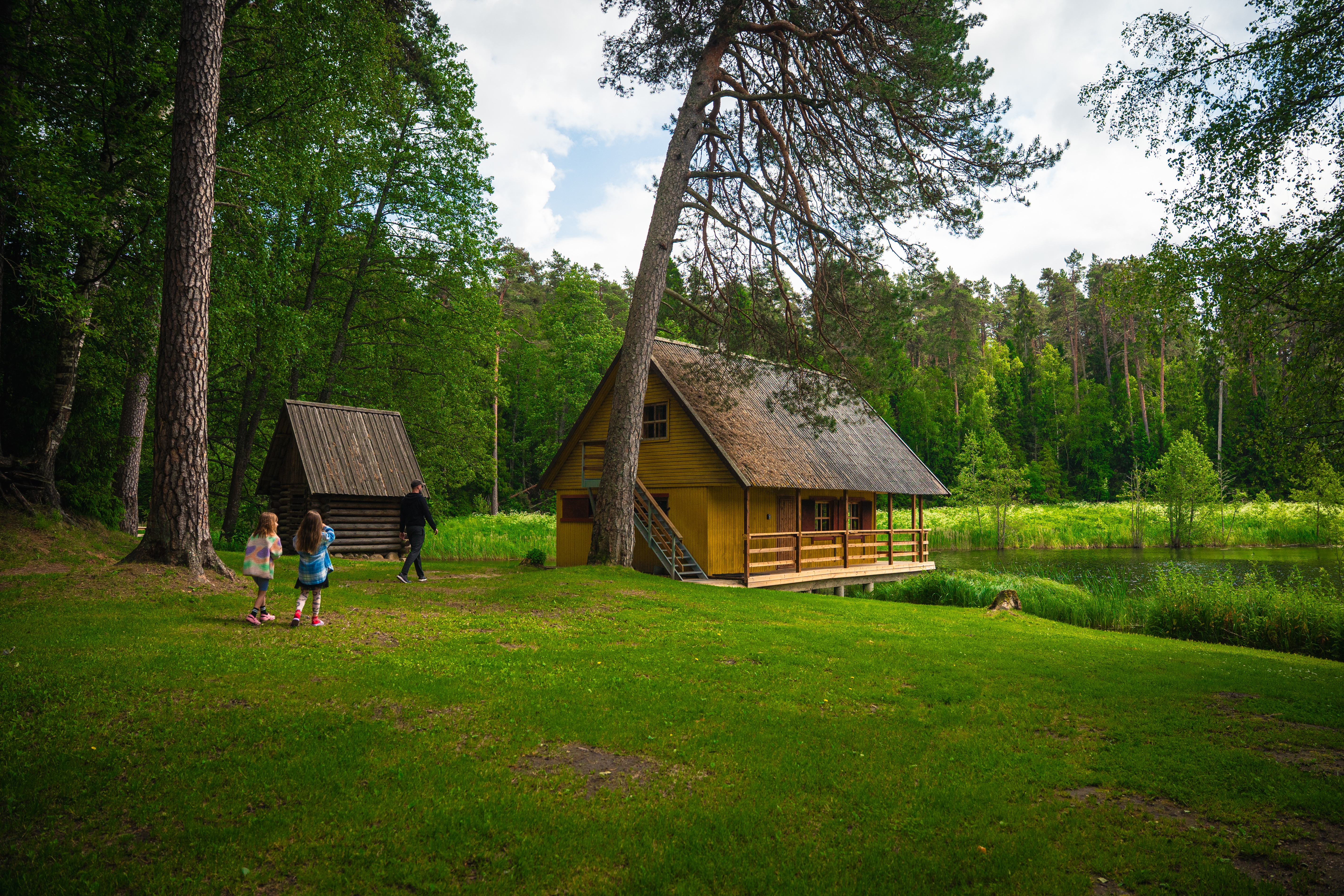
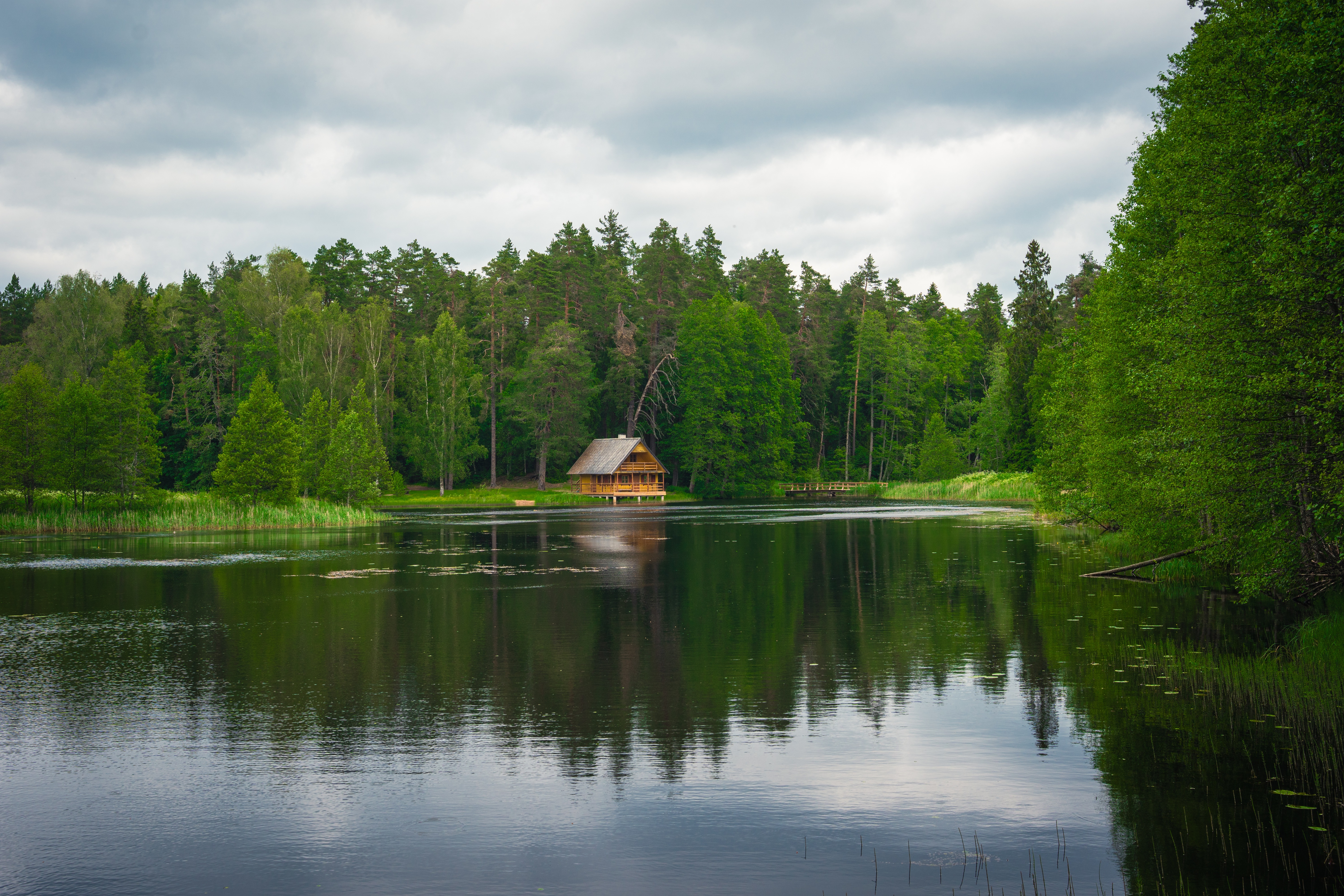
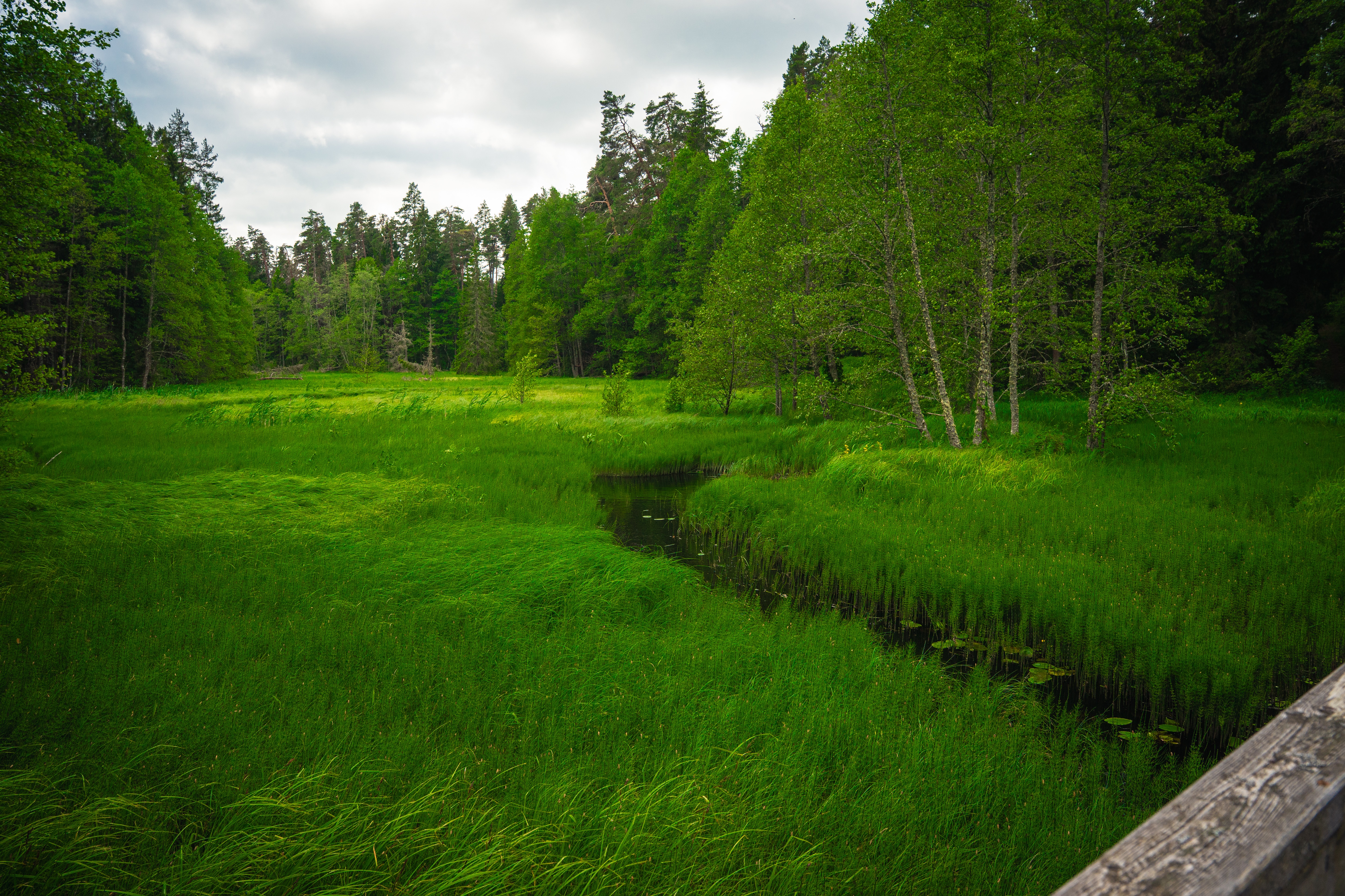
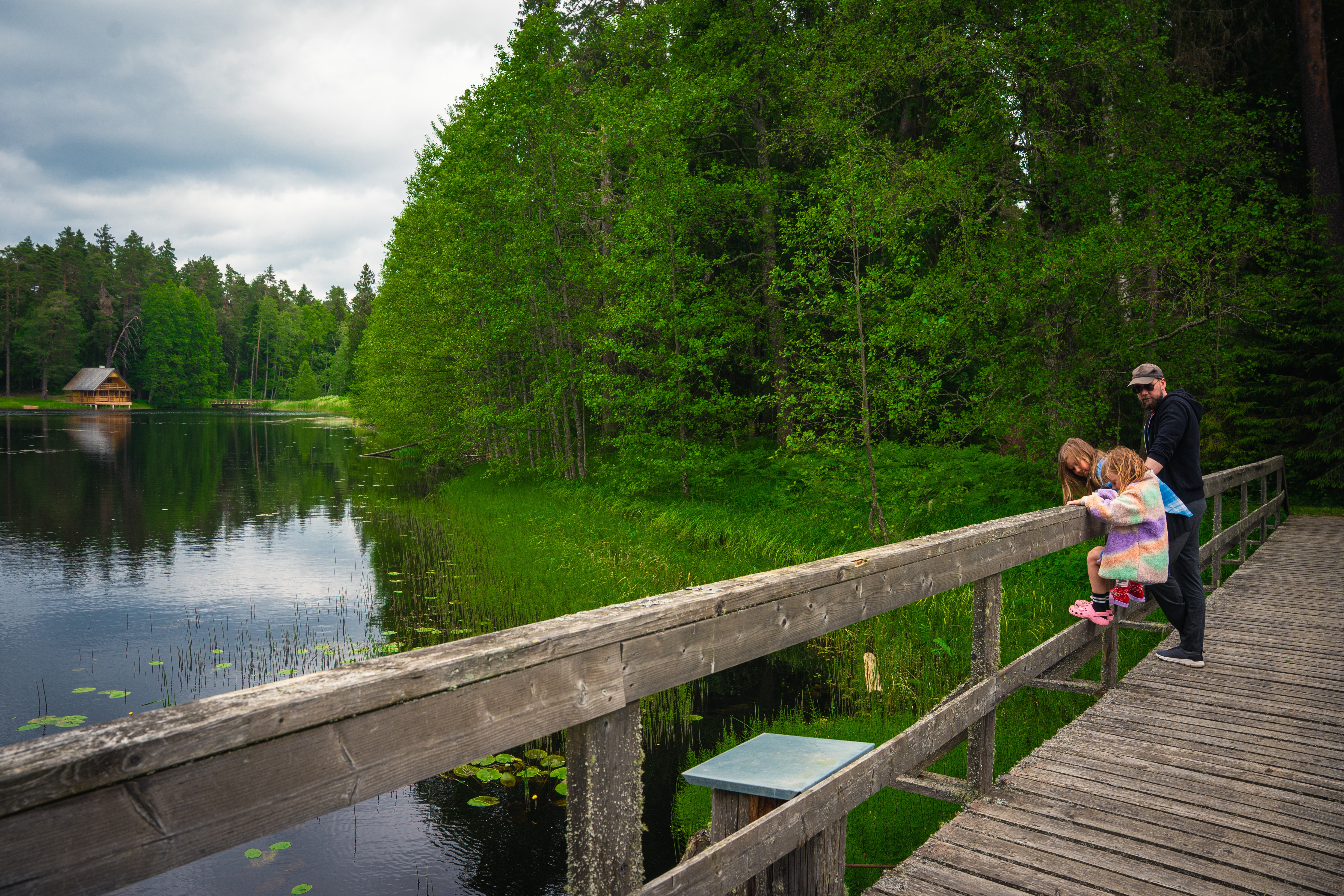
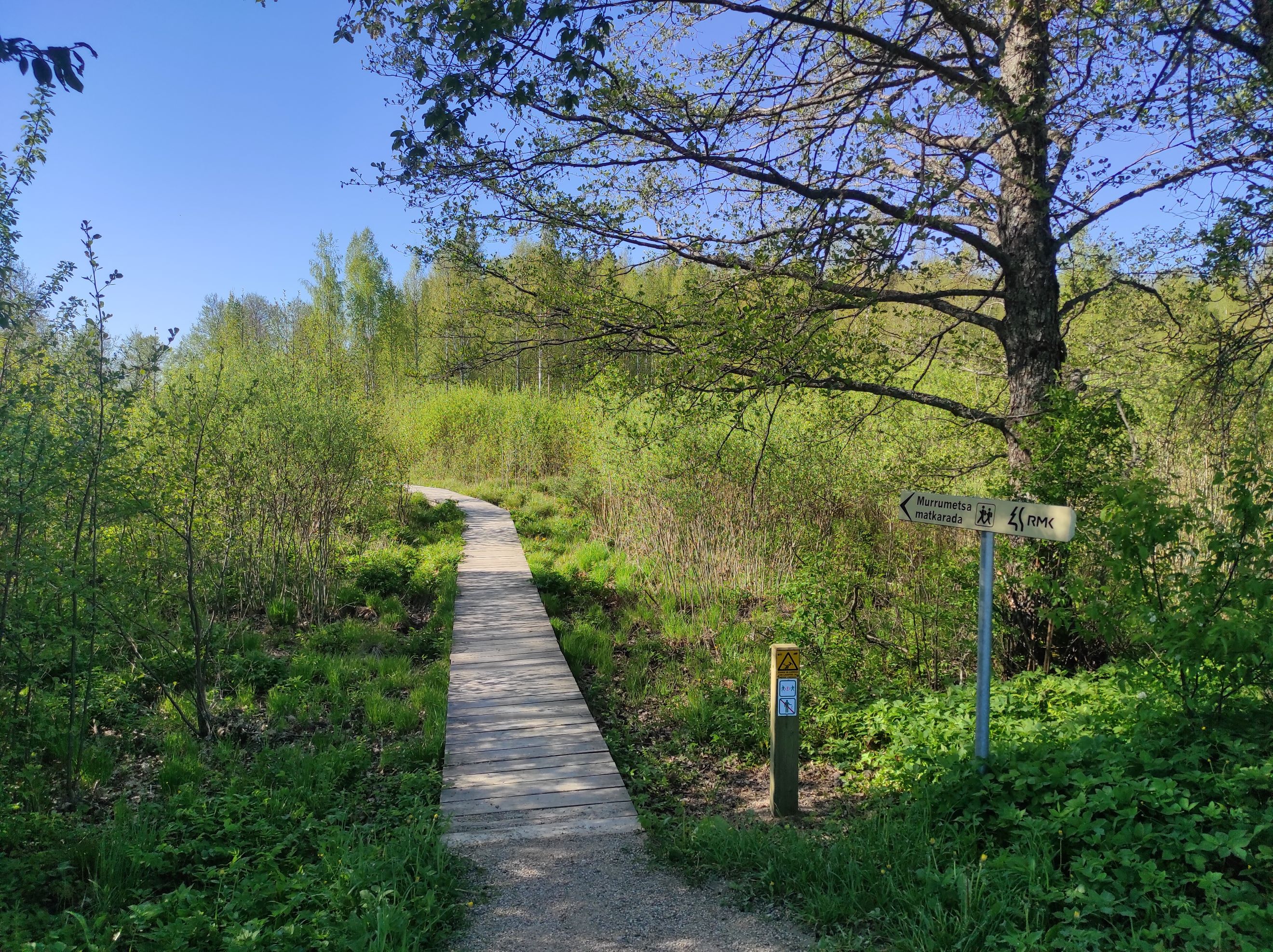
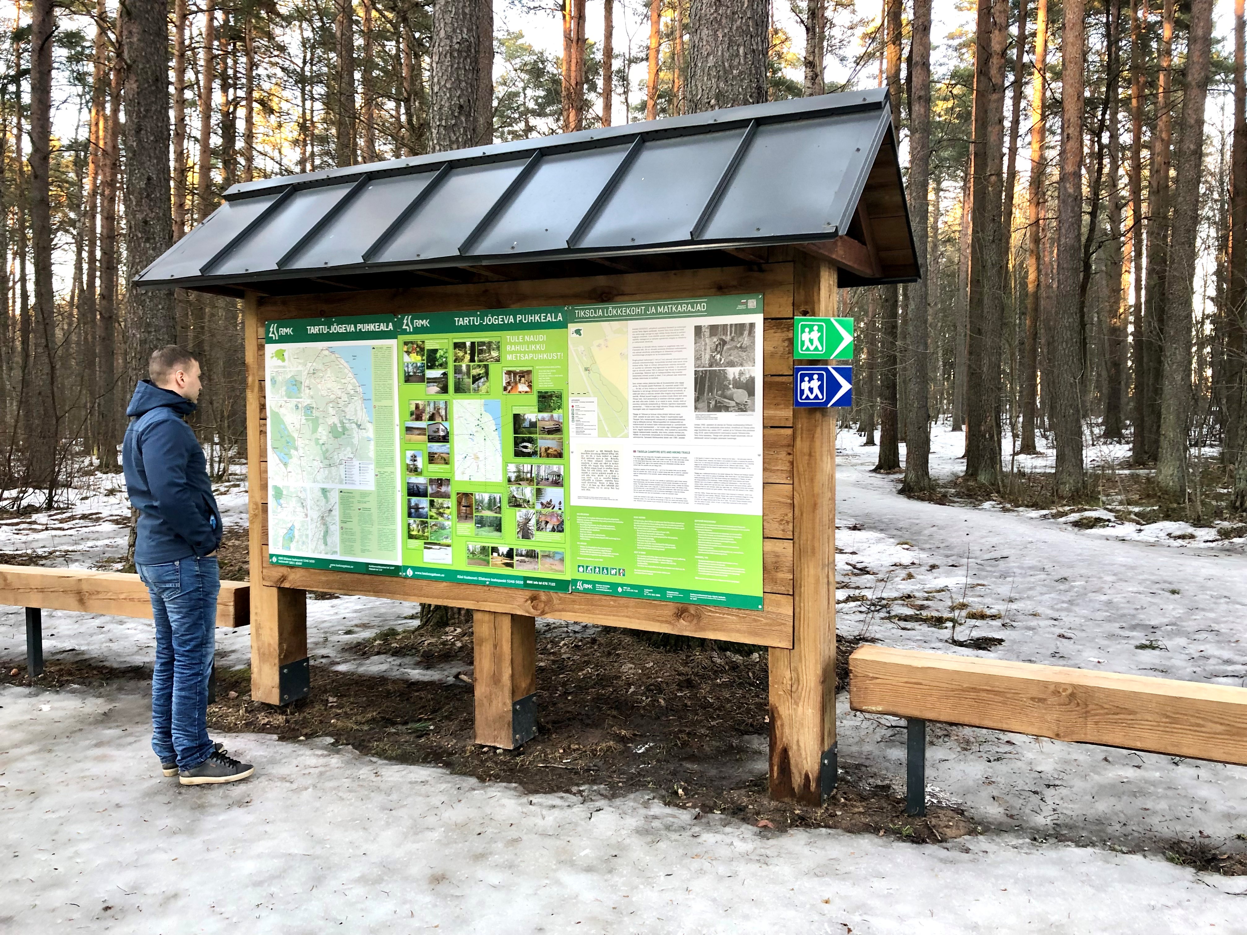
The Soontaga hiking trail is located at Kiidjärve-Kooraste recreation area. The hiking trail runs along the typical Southern Estonian mixed forests and arrives at the Väike-Emajõgi river. The hiking trail, which can be completed on foot, runs in a circle.There are several information boards at the hiking trail, which describe the nature of the area. The beautiful bodies of water at the hiking trail are equipped with bridges. In addition to the hiking trail there is the Soontaga campsite with campfire places at the recreation area.If you visit the hiking trail during the season, you might find forest berries or mushrooms on our journey.
Mugavused

  • Information boards
  • WC
  • Drop Toilet
  • Free parking

Lahtiolekuajad

Aastaringselt

Ööpäevaringselt

Kontakt

  • +372 6767122
  • info.kiidjarve@rmk.ee

Lingid

Vaata lisaks

  • Hiking Trails

Padakõrve Hiking Trail

The hiking trail runs along a gravel road in a forest and introduces the life of ants. There are information boards next to the gravel road, as well as signposts near the ant colonies. The trail can also be explored in a vehicle. The 3.6 km trail starts at the information board at the roadside.The hiking trail is located in Padakõrve Nature Reserve. Its most important values include one of the largest populations of Scottish wood ants, diverse forest communities, and a multifaceted landscape. The purpose of the protected area is to protect the Scottish wood ants, as well as other protected species and their habitats, the forest communities, and the Kärgandi kame field.

  • Camping sites

Pähni Guesthouse

We are located in the middle of Võrumaa's forests in the Haanja-Karula recreation area at the intersection of RMK hiking trails. We welcome all nature lovers and families with children.Here, you can find forest bandstands, the legendary Paganamaa, and several sights of South Estonia: Suur Munamägi Hill, Karula National Park, the southern tip of Estonia, Rõuge Ööbikuorg Valley, Koiva-Mustjõe pines, and Luhasoo landscape protection area. Several RMK hiking trails pass through Pähni.You can also camp, go to the sauna, and make a campfire on the premises of Pähni guesthouse. You can order a guided tour from us (including in the Võru language). Interesting activities are offered by the nearby RMK Pähni Visitor Centre.

  • Hiking Trails

Karula National Park and the visitor centre by the Lake Ähijärv

Karula National Park is Estonia's smallest national park, characterized by a hilly landscape rich in lakes, with 60 lakes on the highland. The national park is open to everyone: families, backpackers, and nature enthusiasts, offering various opportunities for relaxation and hiking. At the visitor center located by Lake Ähijärv, you can get information about the opportunities available in the national park, and the permanent exhibition there introduces the history, nature, folk culture of the Karula region, as well as the modern lifestyle. The heart of the national park is Lake Ähijärv, which is ideal for boating, swimming, and enjoying nature. Hiking enthusiasts are awaited by well-maintained trails that lead through forests, wooded meadows, and hilly landscapes, offering views unique to Karula. Popular destinations include the Rebäse hiking trail, Lüllemäe observation tower, and Kaika hillocks, which offer a great view of the rolling landscape. The national park has plenty of camping and bonfire sites, as well as natural swimming spots, making it suitable for both day trips and longer vacations.

  • Hiking Trails

Hiking trails at Lake Kirikumäe

Kirikumäe's 3.2-km-long hiking trail winds around the lake of the same name, which is known as the best swimming area in the region. There is a bog on the southern shore of the lake and the hiking trail also runs across the bog. For this purpose, a boardwalk has been built there. In any case, however, you must be prepared to get your feet wet here and there. There are information boards, campfires, and forest trails on the track.

  • Camping sites
  • Hiking Trails

Lake Kavadi hiking trail

The 2.2 km hiking trail in Kavadi runs along the banks of Lake Kavadi. The hiking trail begins and ends in New-Salus Park, which has a resting place, campfires with barbecue grilles and a campsite. The trail with the direction of travel winds both along the shore lane and under the forest. Lake Kavadi is considered the most articulated shore-lined lake in Estonia. The surface area of the lake is 27.4 ha. The current size and look have been acquired by the lake some 140 years ago when Baron C. FR. von Maydell, who bought the New-Salus mansion, swelled up three small swamp lakes.

  • Hiking Trails

Vällamäe hiking trail

Vällamäe 3,3 km long hiking trail offers a unique elevation change in Estonia. Vällamägi is Estonia's second highest hill, covered with ancient forest and steep slopes, with an elevation of 303.9 m above sea level. However, considering the 84 meters measured from the base to the peak, Vällamägi is the highest in relative height in Estonia. The slopes of the hill are very steep in places (incline of 35-40 degrees). Since 1992, Vällamäe forests have been designated as a spruce gene pool reserve. As you move along the trail, steep ascents and descents alternate, offering both a physical challenge and breathtaking views of the ancient forest shelters. The climb to the peak may momentarily make you feel like you've arrived in the mountains, not Haanja. The charm of Vällamäe lies in its primordial silence and touch of nature – you won't find crowded hiking trails here. Each season adds its own character to the trail: in spring, the air is filled with birdsong, in summer you may find berries in the forest, in autumn colorful leaves and an abundance of mushrooms delight the eyes, and in winter the slopes are covered with a dense layer of snow in silence.

  • Hiking Trails

Murrumetsa Hiking Trail

Murrumetsa Hiking Trail starts from the Pühajärve Manor Park and runs through Murrumetsa forest back to the park. It takes about 1-1.5 hours to pass the 3.5 km track. There are information boards next to the track that give information about the flora and fauna of our forests and cultivated landscapes. The track passes the ancient Pühajärv War Oak (circumference 6.98 m and height 22 m) and the commemorative stone to mark the Pühajärv War of 1841, which can be found among the oaks of Murrumets Forest. There are also rest areas and fire sites by the trail.

  • Lookout towers
  • Hiking Trails
  • Birdwatching

Valgesoo watchtower

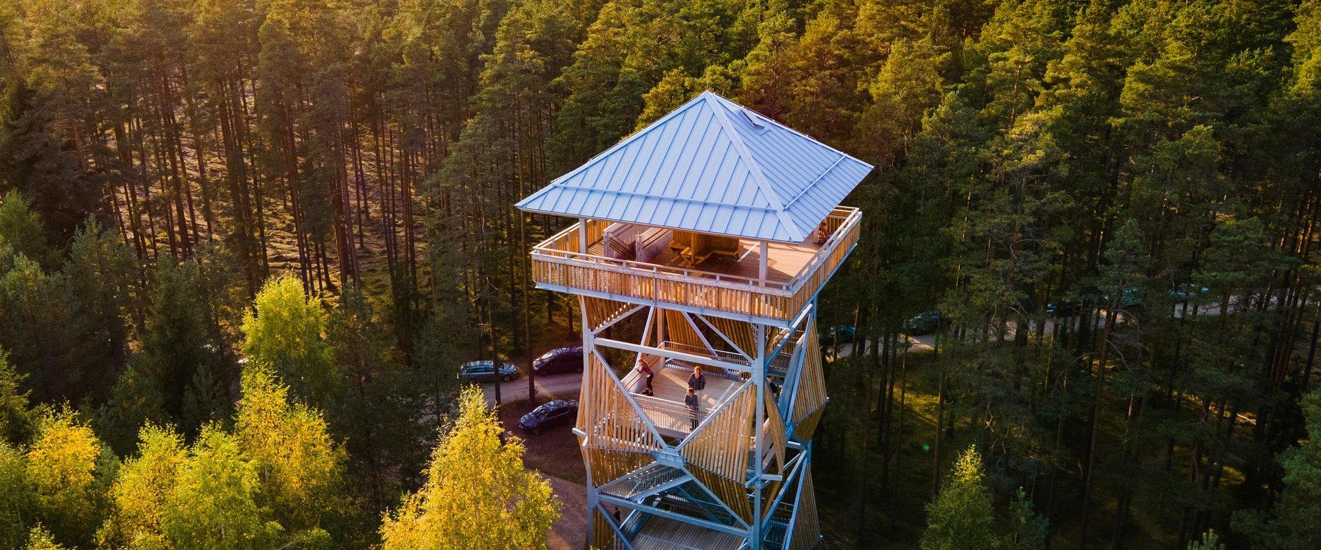
The Valgesoo watchtower is located in the Valgesoo bog, which represents one of the 21 places worth discovering in South Estonia and is recommended for all nature enthusiasts.With its eye-catching design, the watchtower overlooks the Valgesoo bog, the pristine-looking primeval forest, and the Baron's pine forest (Parunimännik) and the study trail that runs through it. The 29.7 m high metal watchtower has three intermediate platforms, the last of which is 23.8 m high, with a wind screen and seat benches in the centre. The State Forest Management Centre's campfire site and camping area for up to five tents are nearby.

  • Privacy Policy

"*"обозначает обязательные поля

Это поле используется для проверочных целей, его следует оставить без изменений.
Я разрешаю маркетинг