• Открой
    • Еда
    • Природа
    • Культура
    • Семья
    • Спорт
    • Сообщество
    • Блог
    У Вас появились свободные выходные, чтобы провести с детьми? Здесь собраны лучшие места в Южной Эстонии для семейного отдыха
  • Планируй
    • Размещение
    • Информация
    Устойчивый туризм
RUS
  • РусскийRUS
  • EestiEST
  • EnglishENG
  • LatviešuLAT
  • SuomiFIN
RUS
  • РусскийRUS
  • EestiEST
  • EnglishENG
  • LatviešuLAT
  • SuomiFIN
Популярные запросы:
Показать все результаты
  • Nature and Activities
  • Nature
  • Hiking Trails

Tiksoja hiking trails and campfire sites

Tartu linn, Tartu maakond, 61410

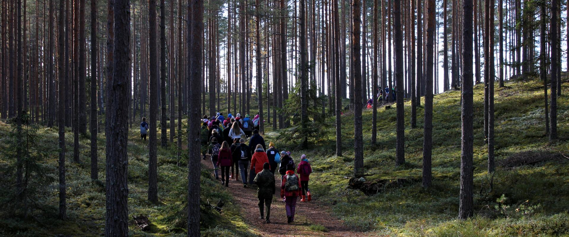
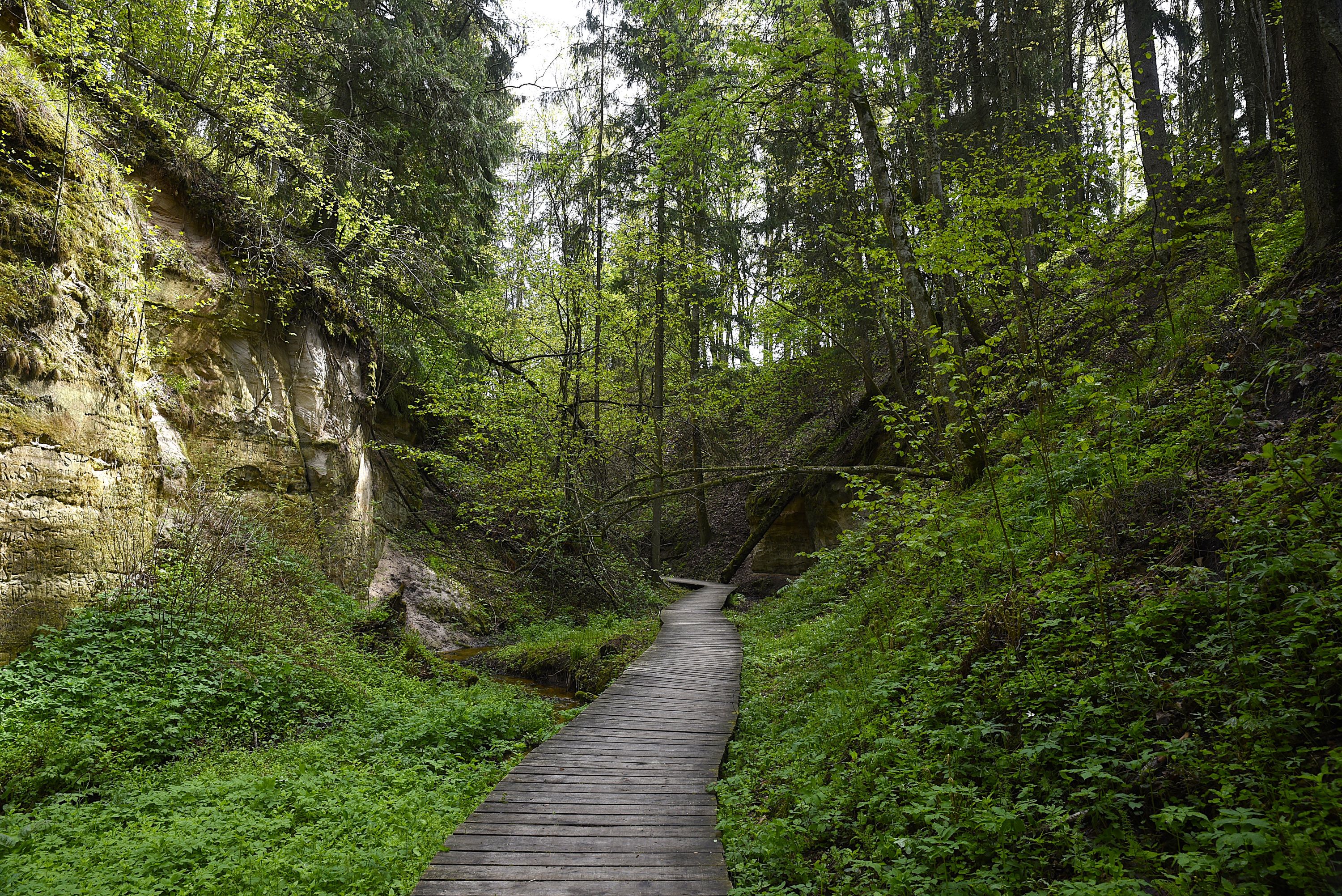
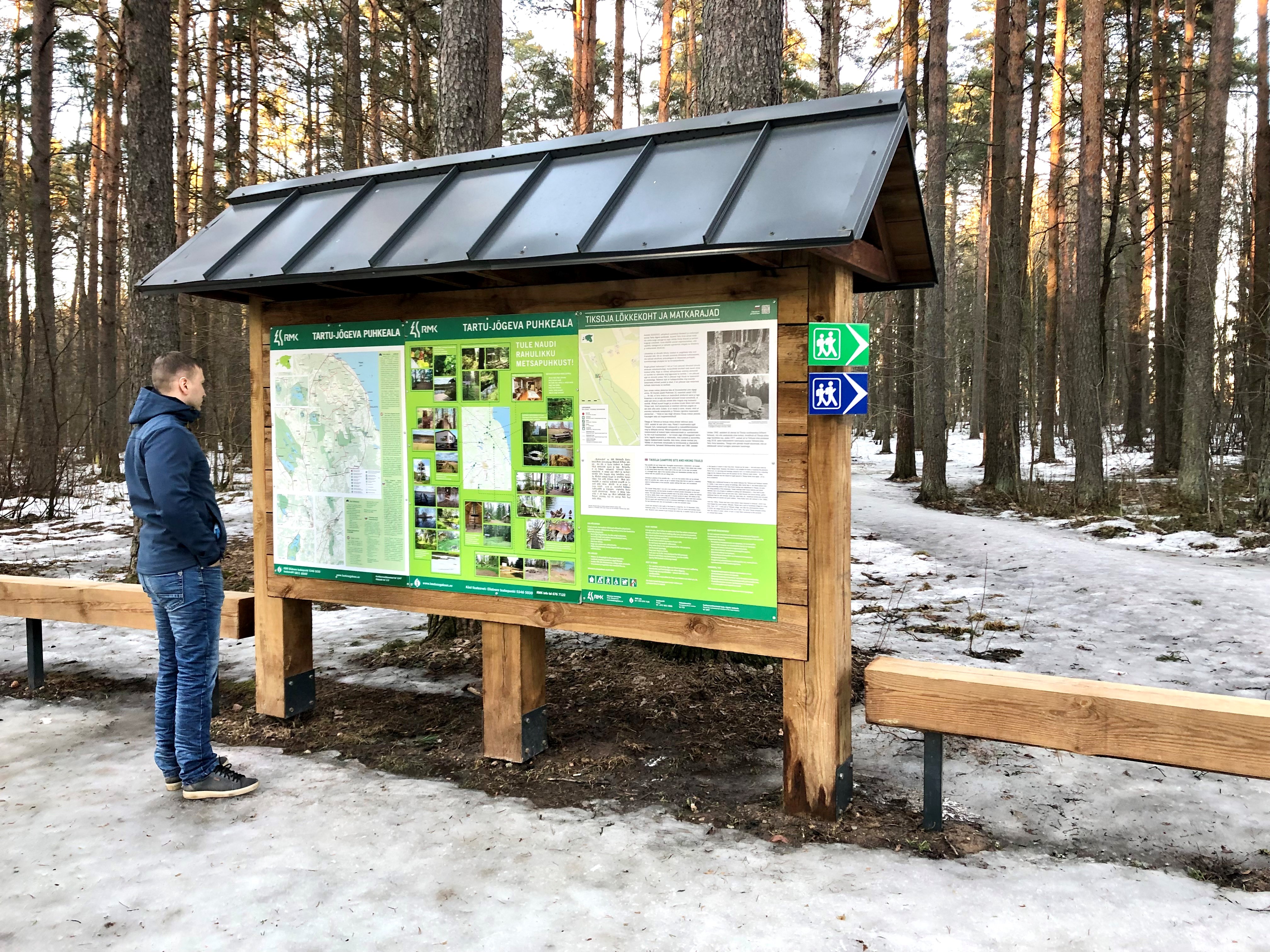
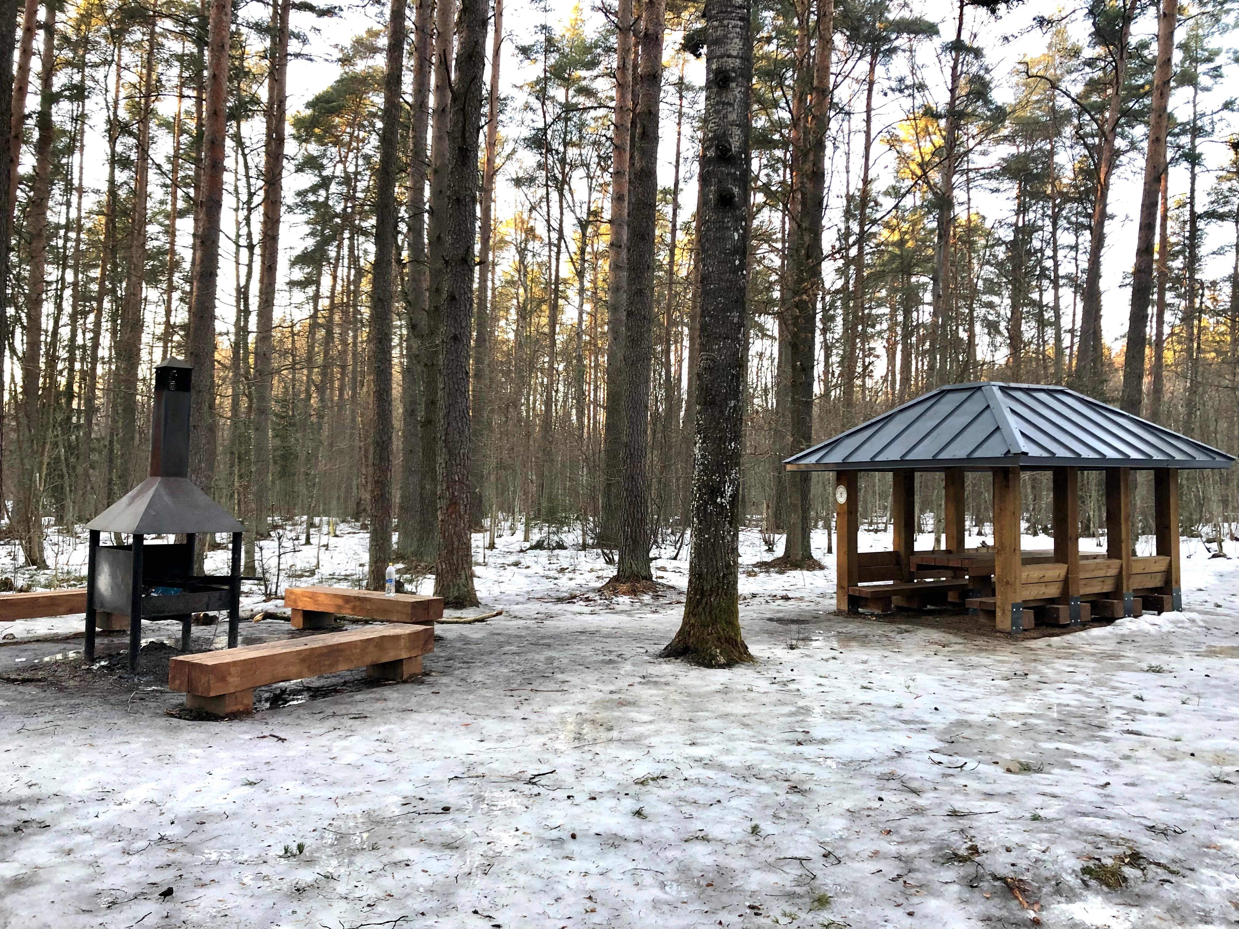
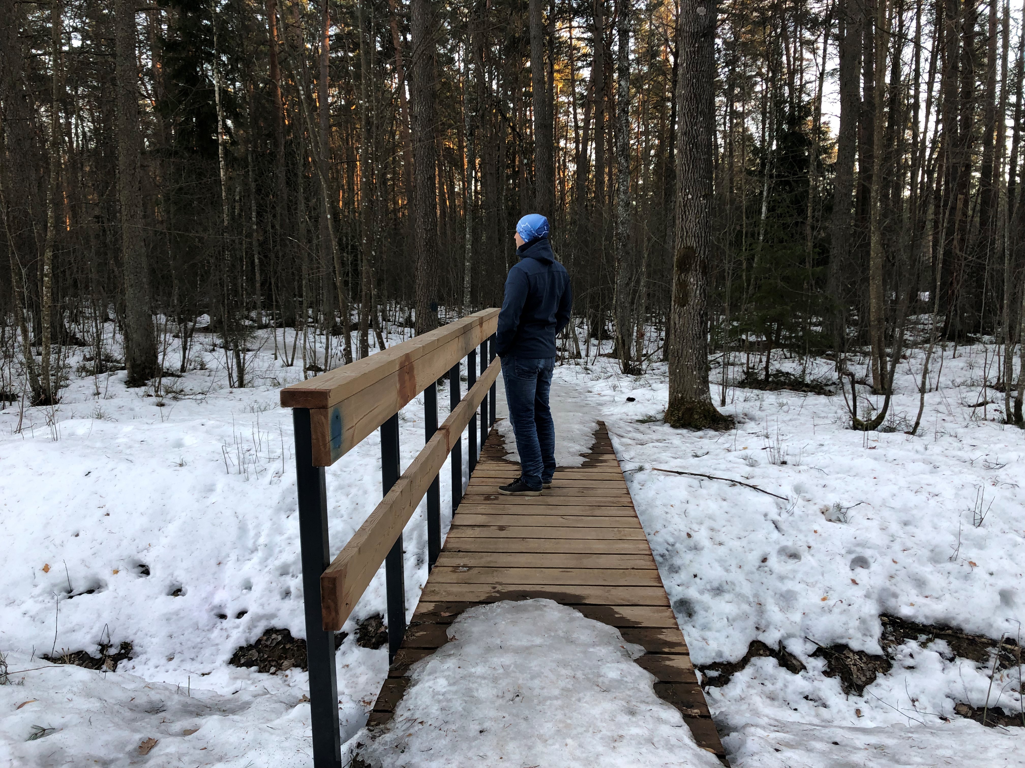
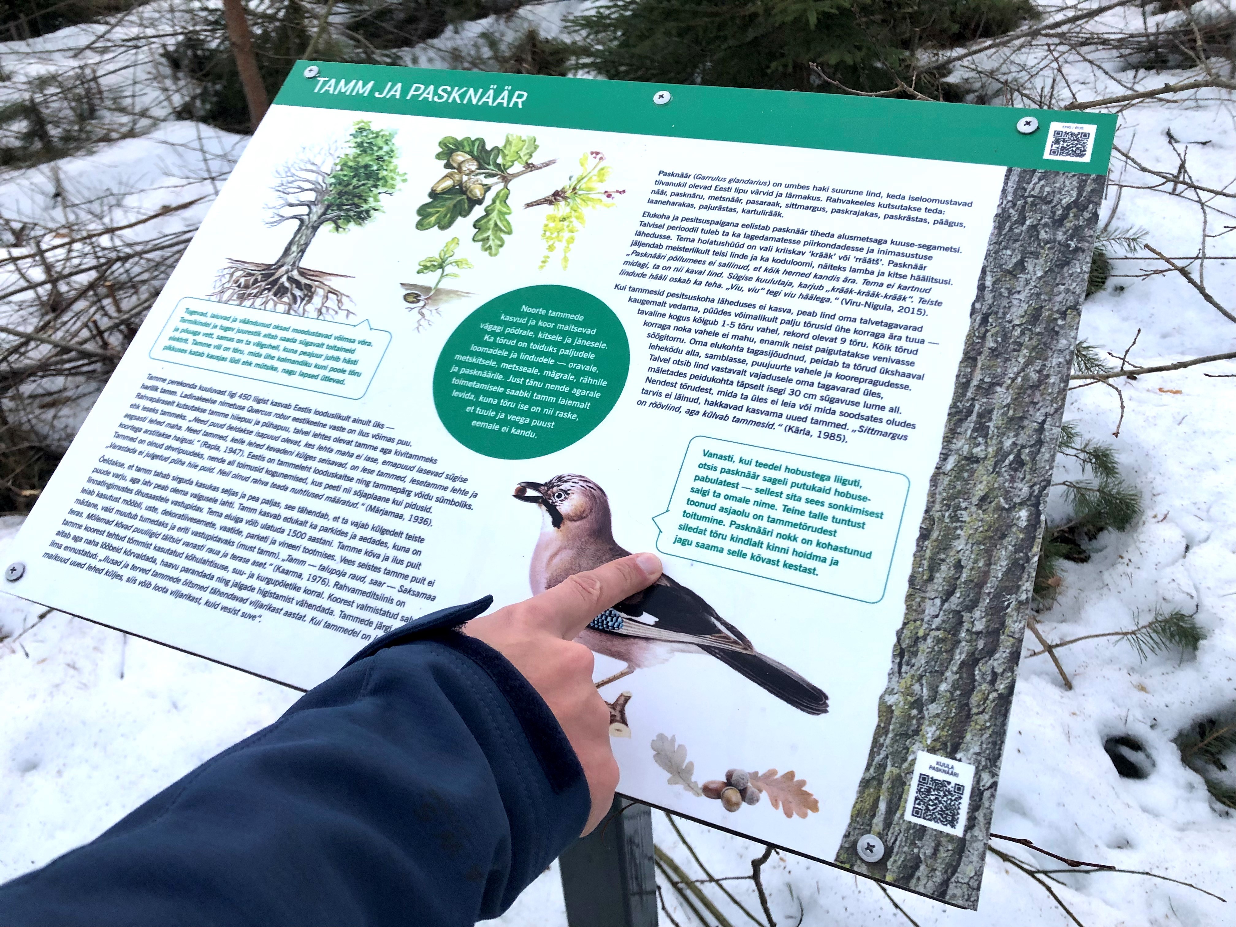
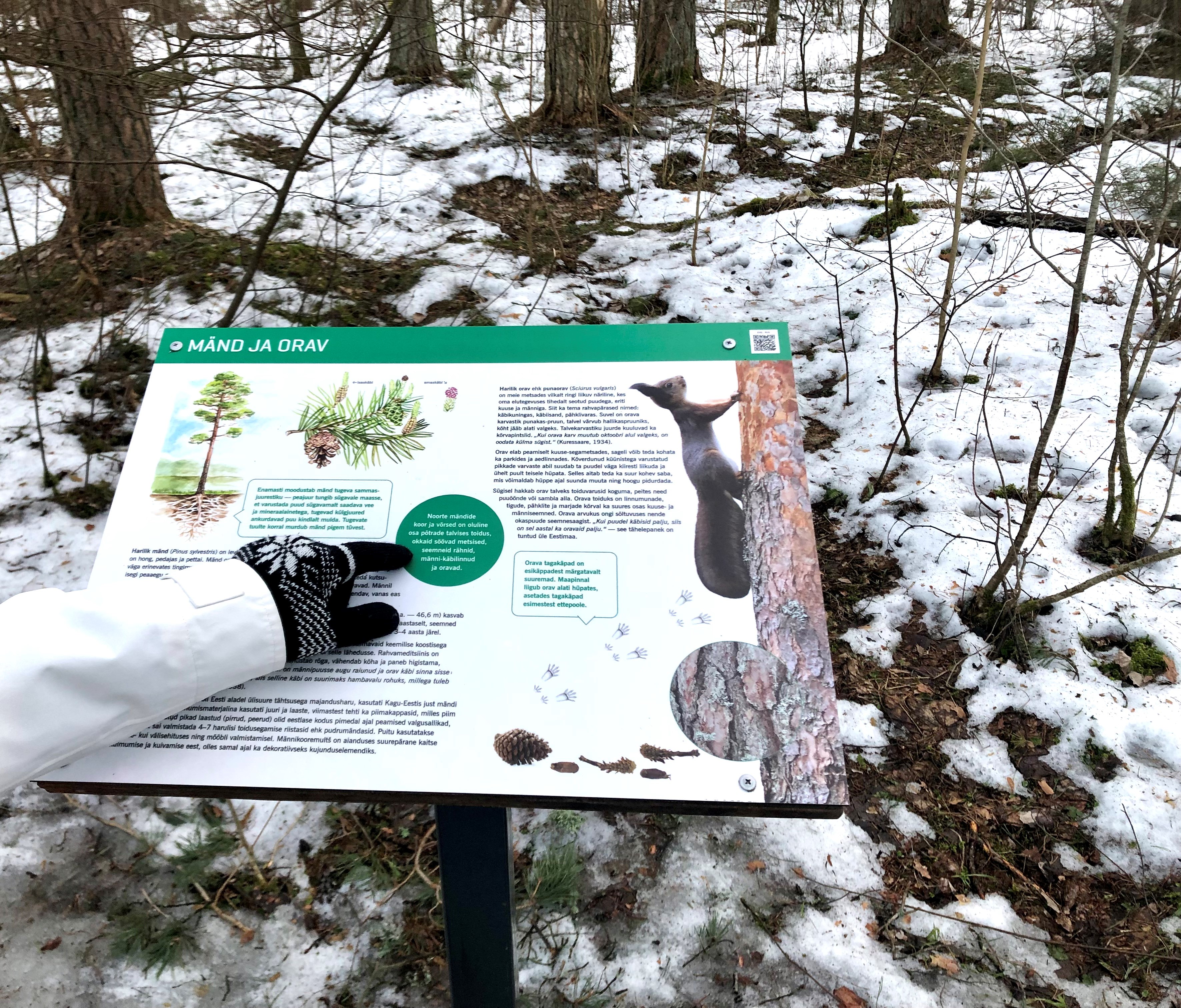
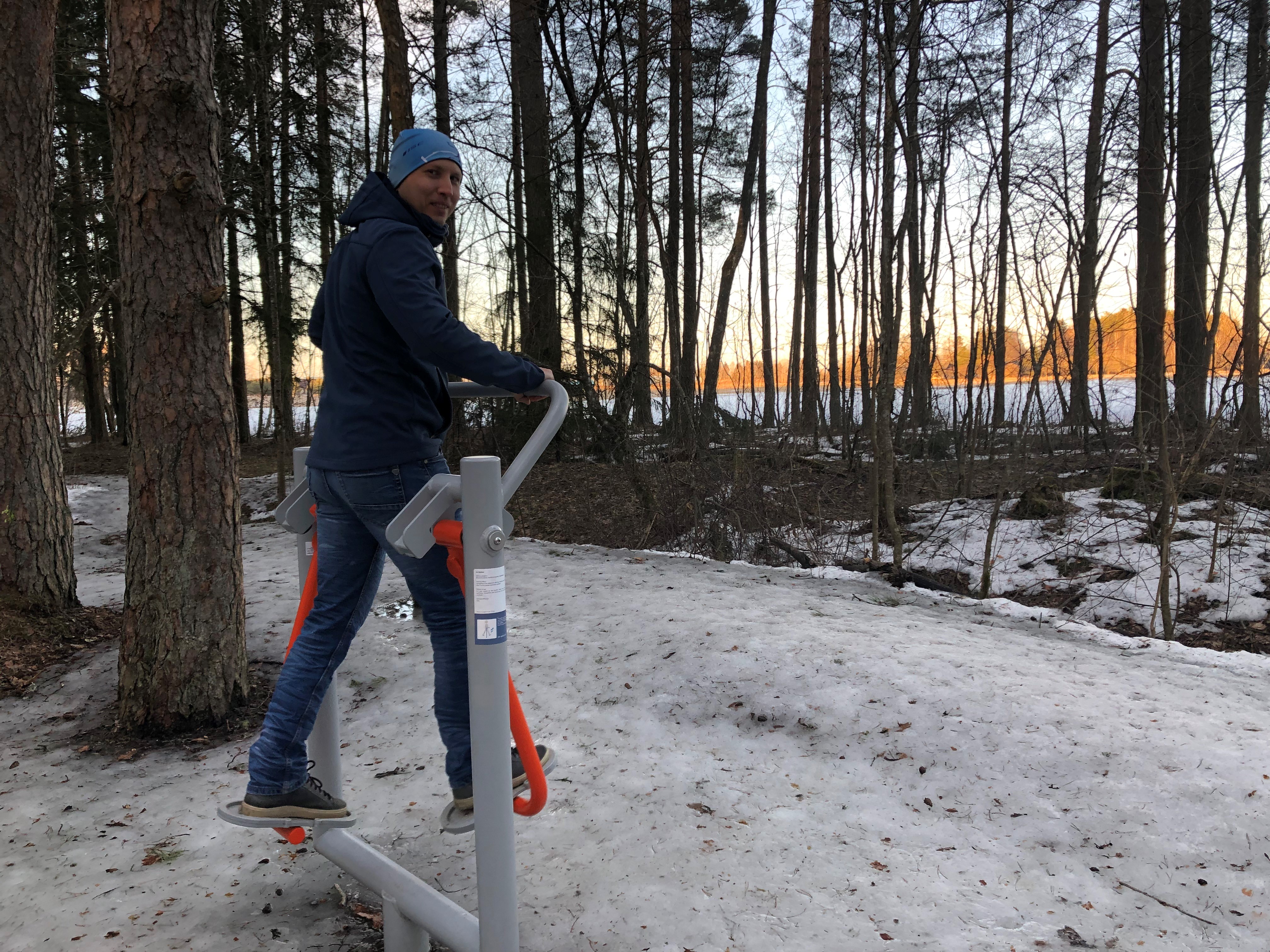
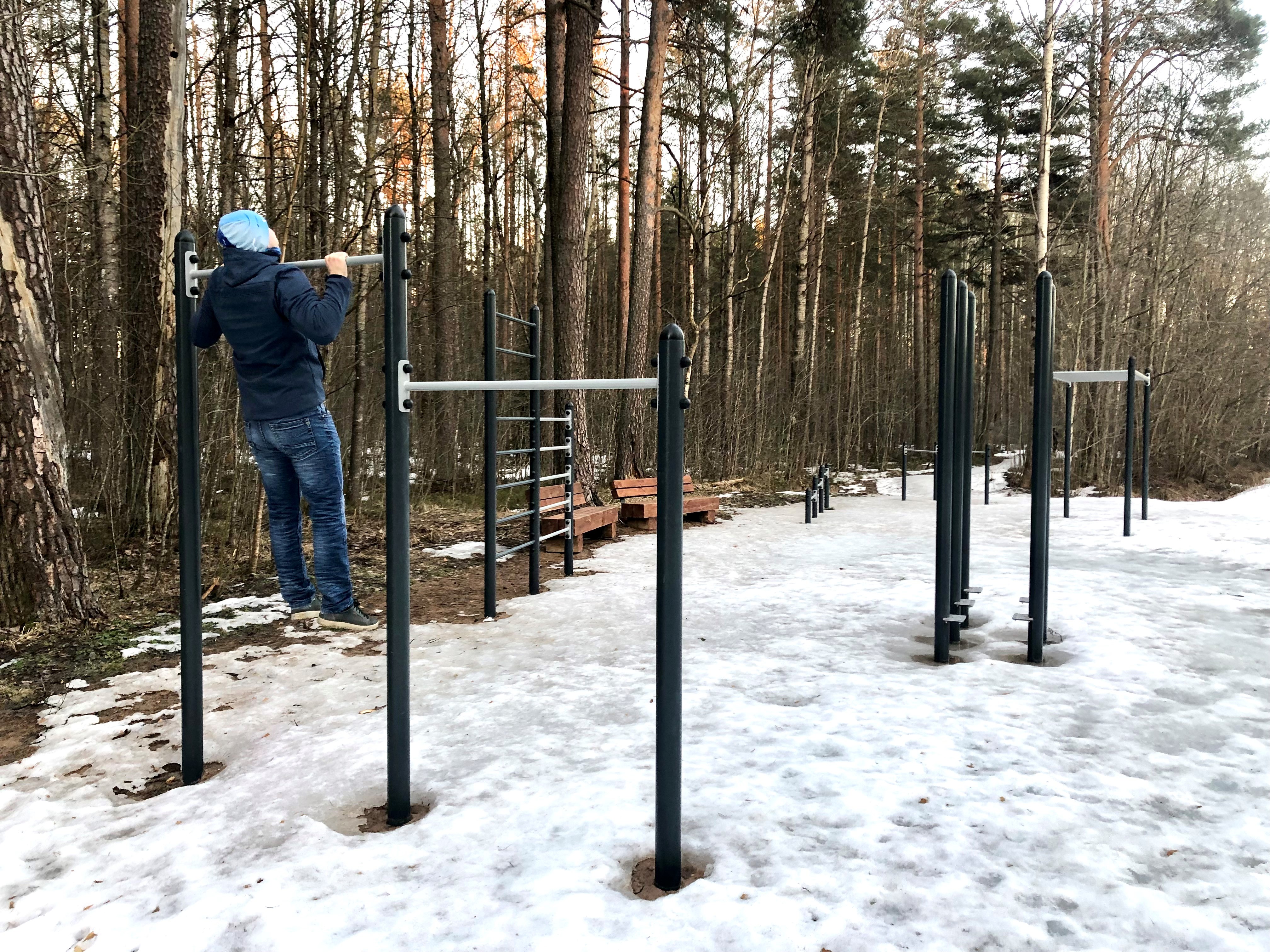
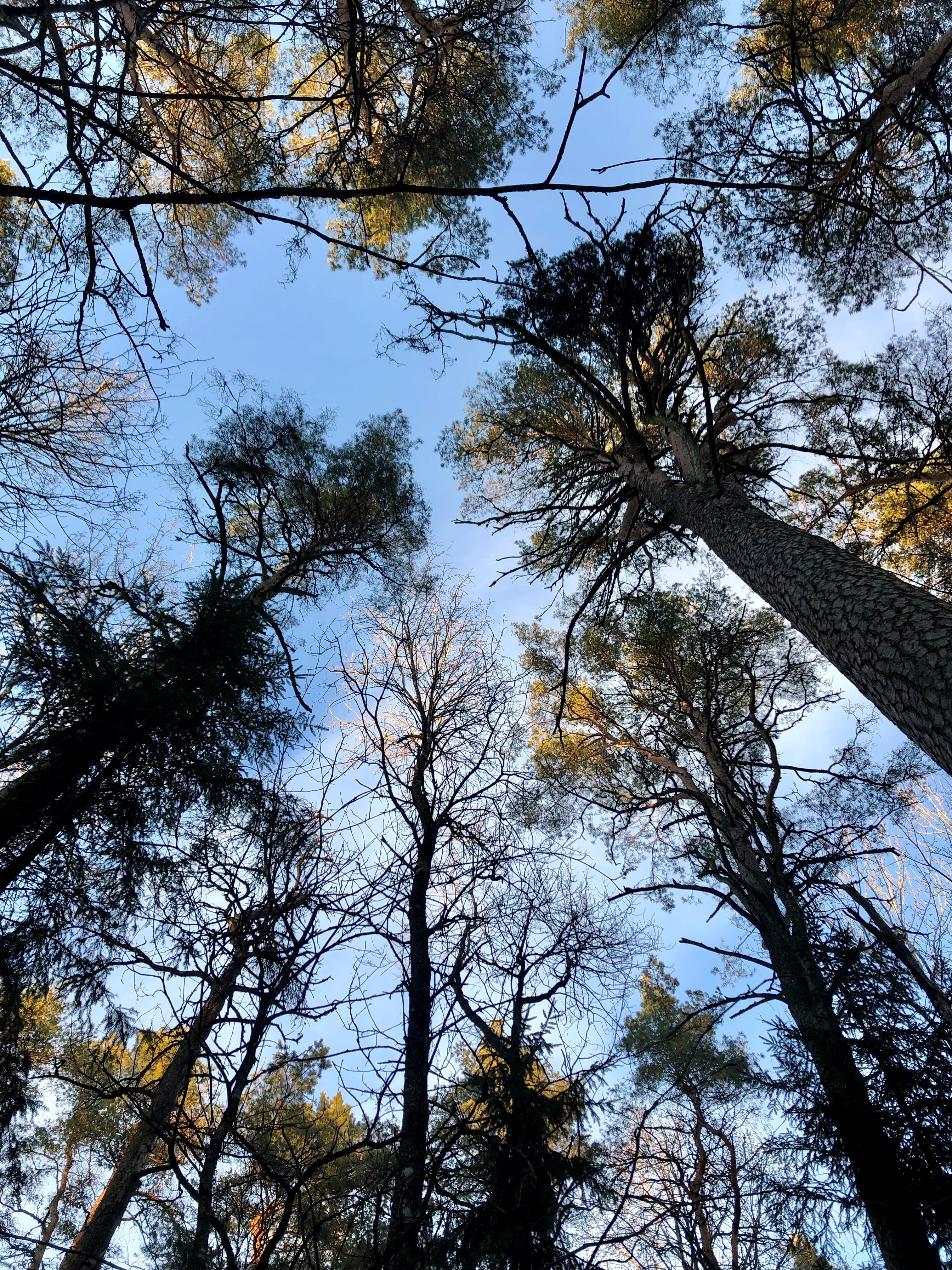
The Tiksoja hiking trails located near Tartu are suitable for families, amateur athletes and dog owners. The 1-2km circle-shaped trails start from the Tiksoja campfire site parking lot. The versatile trails run along forest paths. The 700-meter trail with compacted gravel cover you will be able to walk with a baby carriage or wheelchair. The 1-kilometre trail features activity areas for children and a fenceless area for dogs, the 2-kilometer trail features an outdoor gym. The trails are characterised by various bridges and crossings, a boardwalk and information boards located at interest points.You can rest at the Tiksoja campfire site with two roofed bench-tables and campfires with grilling griddles.
Удобства

  • Information boards
  • Free parking

Часы работы

Круглый год

Ööpäevaringselt

Контакты

  • +372 676 7122
  • info.kiidjarve@rmk.ee

Ссылки

rmk.ee

Подробнее

  • Camping sites
  • Hiking Trails

Kisejärve hiking trail

Kisejärve hiking trail is 6 km long and runs along former horse roads and swamp borders (rubber boots are recommended). The hiking trails takes you past several lakes, valuable nature and bog communities and you can also see the results of the activities of beavers.

  • Camping sites
  • Family friendly
  • Hiking Trails
  • Beaches

Lake Pangodi and lakeside camping area

The recreation area by Lake Pangodi is a popular holiday destination, offering a variety of opportunities to enjoy nature. In the holiday complex, you can swim, camp, and make a campfire. The large lawn by the sandy beach has a children's playground with active holiday elements and a volleyball court. At the beginning of the recreation area, there is a parking lot that can accommodate up to 30 cars. The Pangodi camping area is by the lake, where you can find three campfire sites with canopies and benches. Along the Pikksaare hiking trail (1 km) starting from the car park, you will reach the Pangodi campfire site, which is about 500 m from the crowded camping area in the Pangodi park forest. Be respectful to nature!

  • Family friendly
  • Hiking Trails
  • Parks
  • Beaches

Lake Pühajärv Park

Families with children are particularly welcome in the Lake Pühajärv Park as there are many opportunities to feed ducks and other birds when walking on the lakeshore. There is an exercise track by the northern part of the park. This is also the place where you will find the beach with a beach house, cafés, arbours and boat hire.The park used to be a part of the Pühajärv Manor Park and it was designed as a walking forest with paths already in the 19th century. The park is mainly a naturally grown forest.

  • Hiking Trails

Rebäse landscape trail

The 7-kilometre-long Rebäse landscape trail is located in the Karula National Park. The trail runs through old farm landscapes, passing the oldest farmstead in the area and the Linnamägi hill with traces of settlement from the Early Iron Age. Hikers can climb up the local "Mount Ararat", see Lake Raudjärv with its ice-cold water, and admire one of the largest gullies of Karula upland.You may need sturdy boots to pass the trail because in rainy weather the trail might be muddy and the boardwalk slippery. The trail also passes pastures, so you might encounter curious but generally friendly cows. Be careful around farm fences, they may be electric!

  • Hiking Trails

RMK Kiidjärve–Taevaskoja–Kiidjärve hiking trail

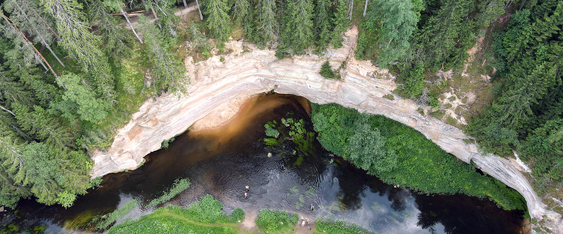
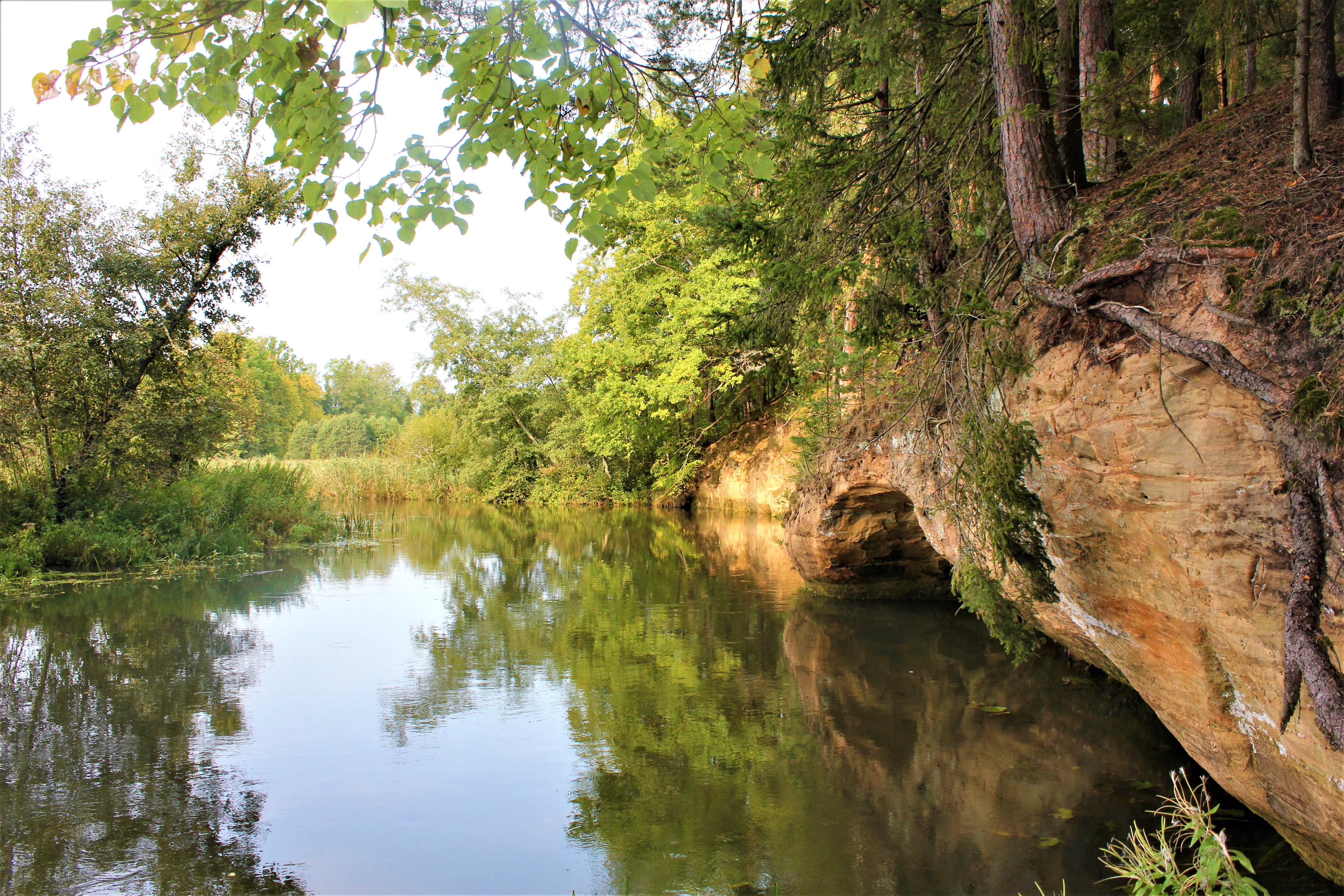
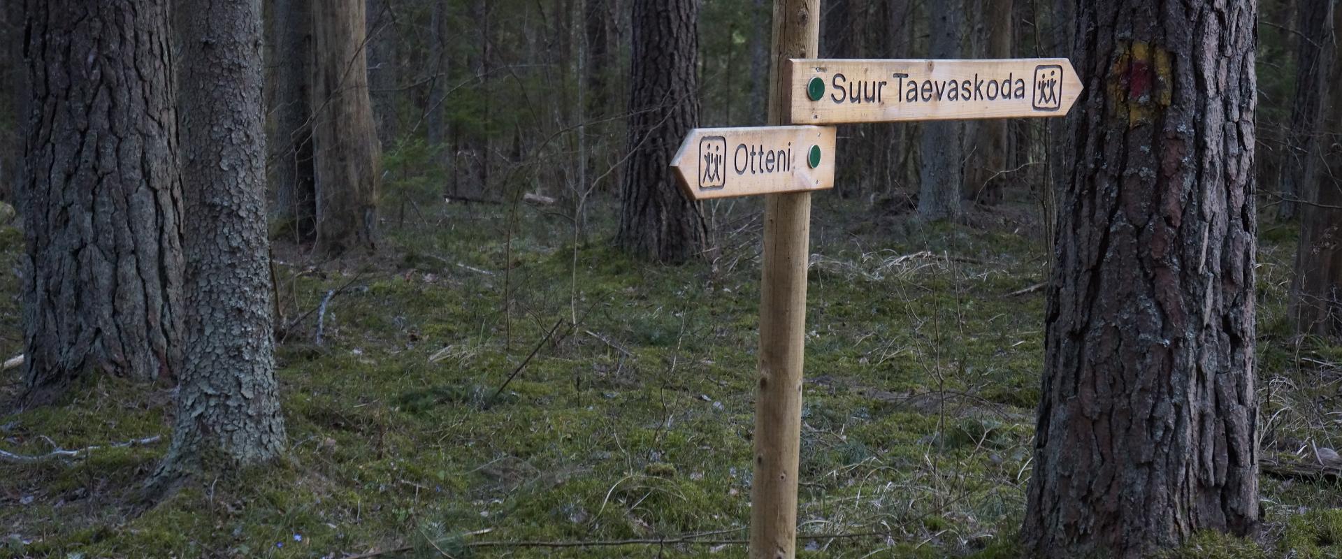
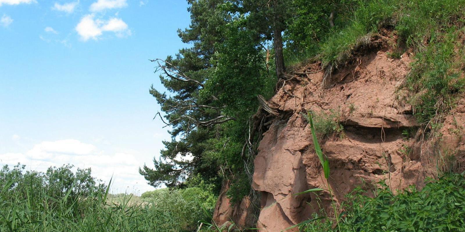
The hiking trail starting from Kiidjärve Visitor Centre runs along the banks of the picturesque Ahja River, where you can easily see different sandstone banks (Sõnajalamägi, Palanumägi, Oosemägi, Laaritsamägi, Mõsumägi, etc.). The trail runs along one shore to the Saesaare dam, over the bridge, and back along the other shore. The trail passes through Sõnajala campfire site, where you can pitch a tent. The trail also passes through the Roiupalu study trail campfire site.A map of the hiking trail can be obtained from the RMK Kiidjärve Visitor Centre.At times, the hiking trail runs along high shorelines and there are steep ascents. Please be careful!

  • Hiking Trails

Lake Viti hiking trail and observation tower

The Lake Viti hiking trail is a nature trail that passes through an exciting hilly forest landscape. The trail information boards provide information about the Vitipalu forests, the woodpeckers that inhabit them, their nesting sites, the ant kingdom, and more. The trail features a hiking hut, a campfire site, Viti Lake, a 20-meter-high wooden observation tower overlooking the surrounding greenery, and a pleasant picnic spot with shelters. The Lake Viti trail is suitable for hikers of all ages, but it is not suitable for strollers or wheelchairs. The Lake Viti hiking trail begins and ends at the trail parking lot. The trail is marked with yellow stripes.

  • Hiking Trails

Elva primeval valley hiking trail and Illi camping area

The Elva primeval valley hiking trail is a 15.5 km long trail located in the Elva landscape protection area with alternating terrain for those who want to hike for several days. On the trail, you will find various forest landscapes, sandstone outcrops, wonderful forest lakes, Viti observation tower, floodplain meadows, trenches, beavers, and the kingdom of ants. There is also a Witch's House and Adventure Trail on the trail.The primeval valley trail starts and ends at the Tartu County Recreational Sports Centre. The scheme of the hiking trail with camping and campfire sites (including the Illi camping area) can be found HERE. The black or yellow numbers on the track indicate the kilometers travelled.Please respect the nature while you're here!

  • Family friendly
  • Lookout towers
  • Hiking Trails

Ööbikuorg valley and Rõuge lakes

The Rõuge primeval valley, which is 10km long and 52m deep, contains seven lakes: Kahrila Lake, Tõugjärv, Ratasjärv, Kaussjärv, Rõuge Suurjärv, Liinjärv, and Valgjärv. The lakes are connected by the Rõuge or Ajo River, which starts from the Tindi valley. The side valleys of the Rõuge primeval valley are Tindi, Külm, Mõhk, Ööbikuorg, Tinopeetri, Hinni, Sikasoo, and Järveotsa valleys. The most famous of these is Ööbikuorg, which borders the ancient hillfort from the north. In spring, during the blossoming of bird cherry trees, the valley resonates with the song of nightingales – hence the name of the valley. Several hiking trails run through Rõuge, including the popular Ööbikuorg hiking trail, which takes visitors through the primeval valley, past lakes and springs. The trail is suitable for families with children and is partially accessible by bicycle. In summer, you can swim and paddle in the lakes, while in winter, the same trails are enjoyed by skiers and sledders. In the Rõuge settlement, there is also Estonia's deepest lake – Rõuge Suurjärv (38m) – and the largest Nature Clock in Estonia, whose hands mark the passage of time in nature's rhythm.Good to know: At the edge of Ööbikuorg, there is a visitor center and the Pesapuu observation tower, which offers a view of the entire valley.

  • Privacy Policy

"*"обозначает обязательные поля

Это поле используется для проверочных целей, его следует оставить без изменений.
Я разрешаю маркетинг