• Avasta
    • Еда
    • Природа
    • Культура
    • Семья
    • Спорт
    • Сообщество
    • Блог
  • Planeeri
    • Размещение
    • Информация
    • Varamu
RUS
  • РусскийRUS
  • EestiEST
  • EnglishENG
  • LatviešuLAT
  • SuomiFIN
RUS
  • РусскийRUS
  • EestiEST
  • EnglishENG
  • LatviešuLAT
  • SuomiFIN
Populaarsed otsingud:
Näita kõiki tulemusi
  • Nature and Activities
  • Nature
  • Hiking Trails

Elva primeval valley hiking trail and Illi camping area

Elva vald, Tartu maakond, 61016

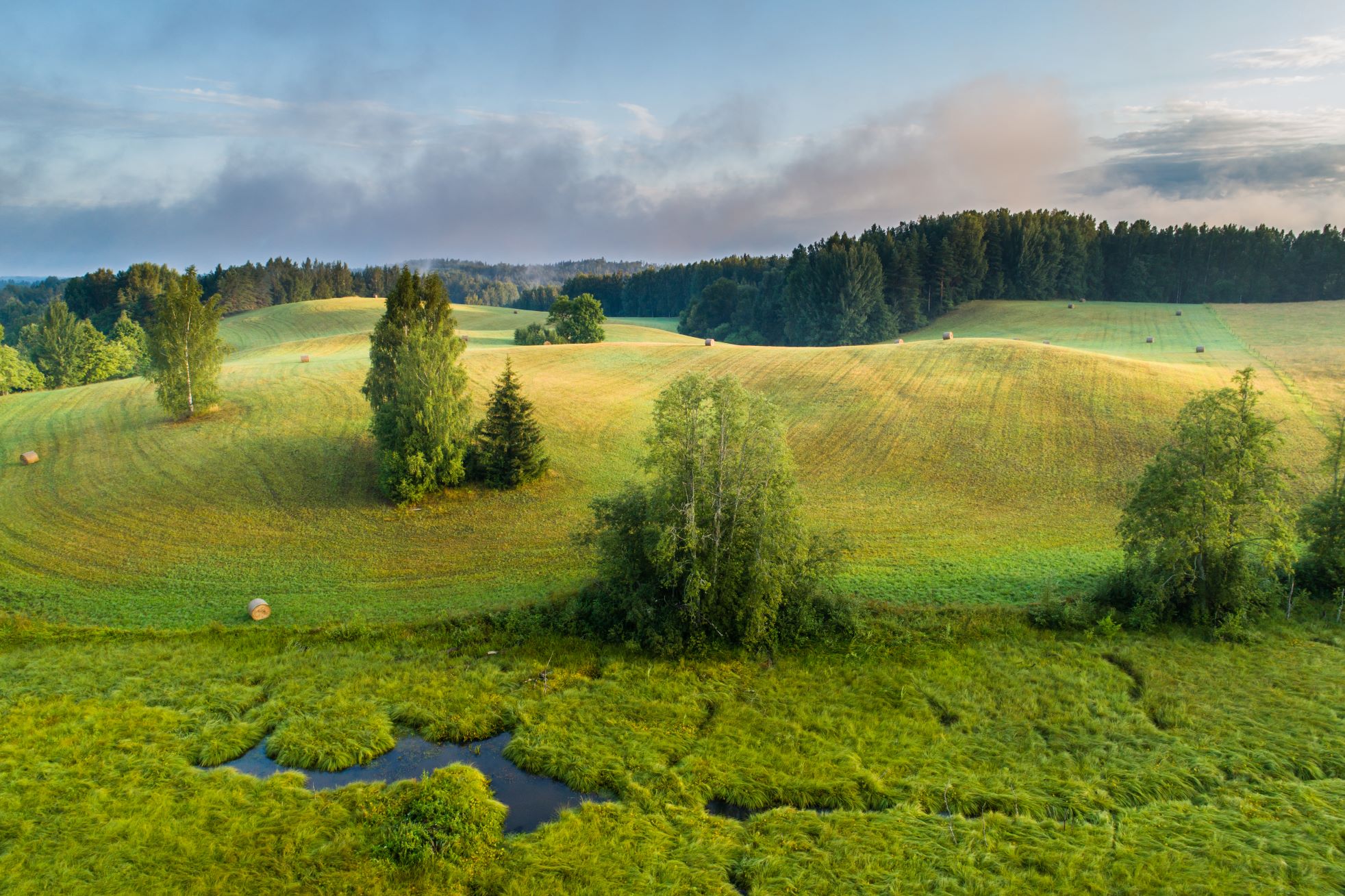
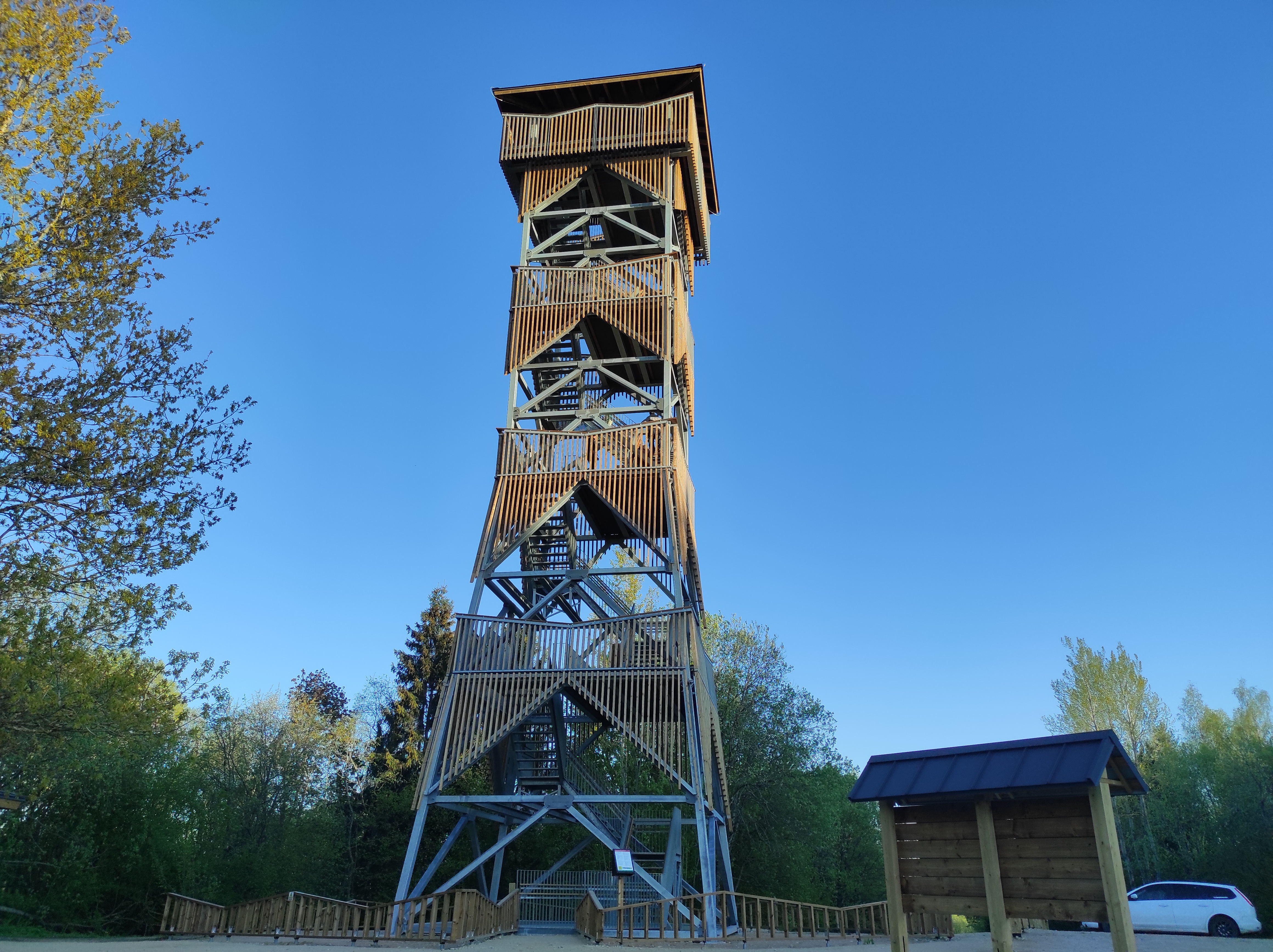
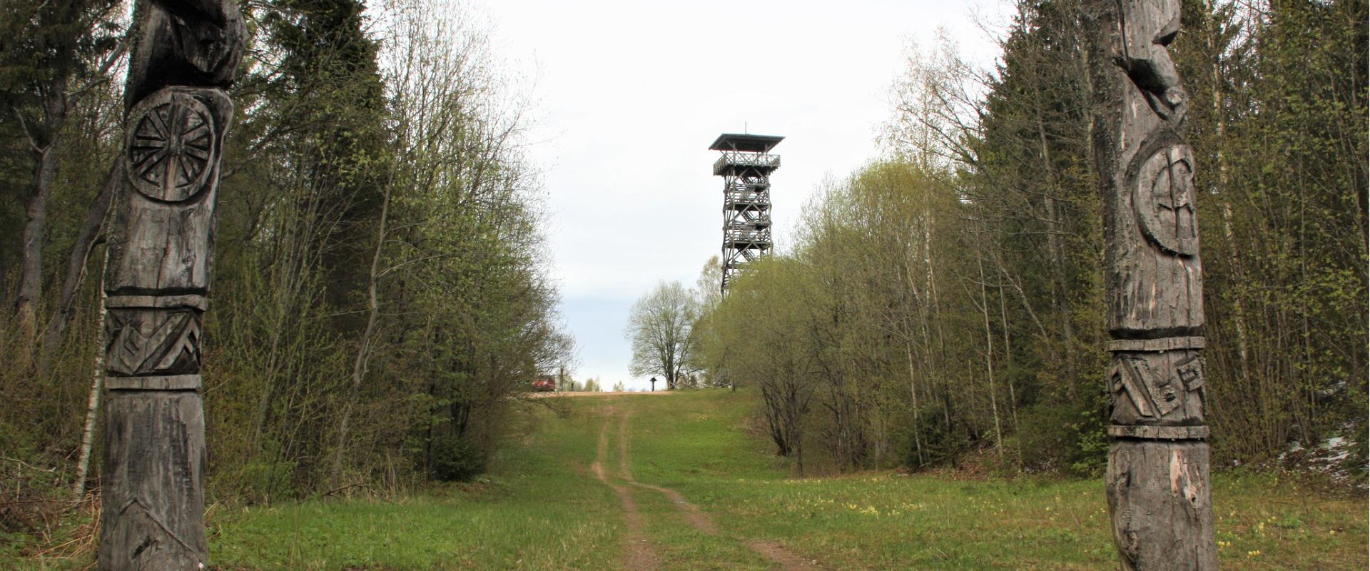
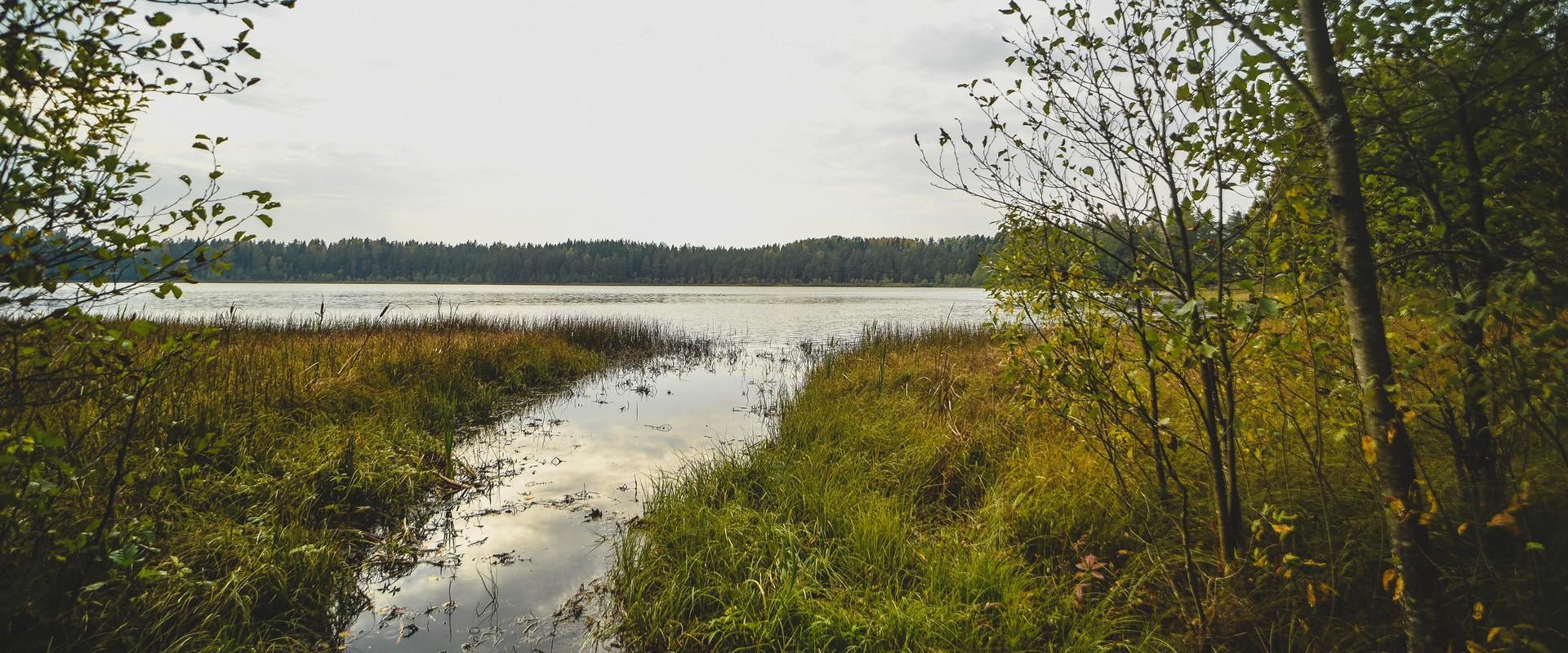
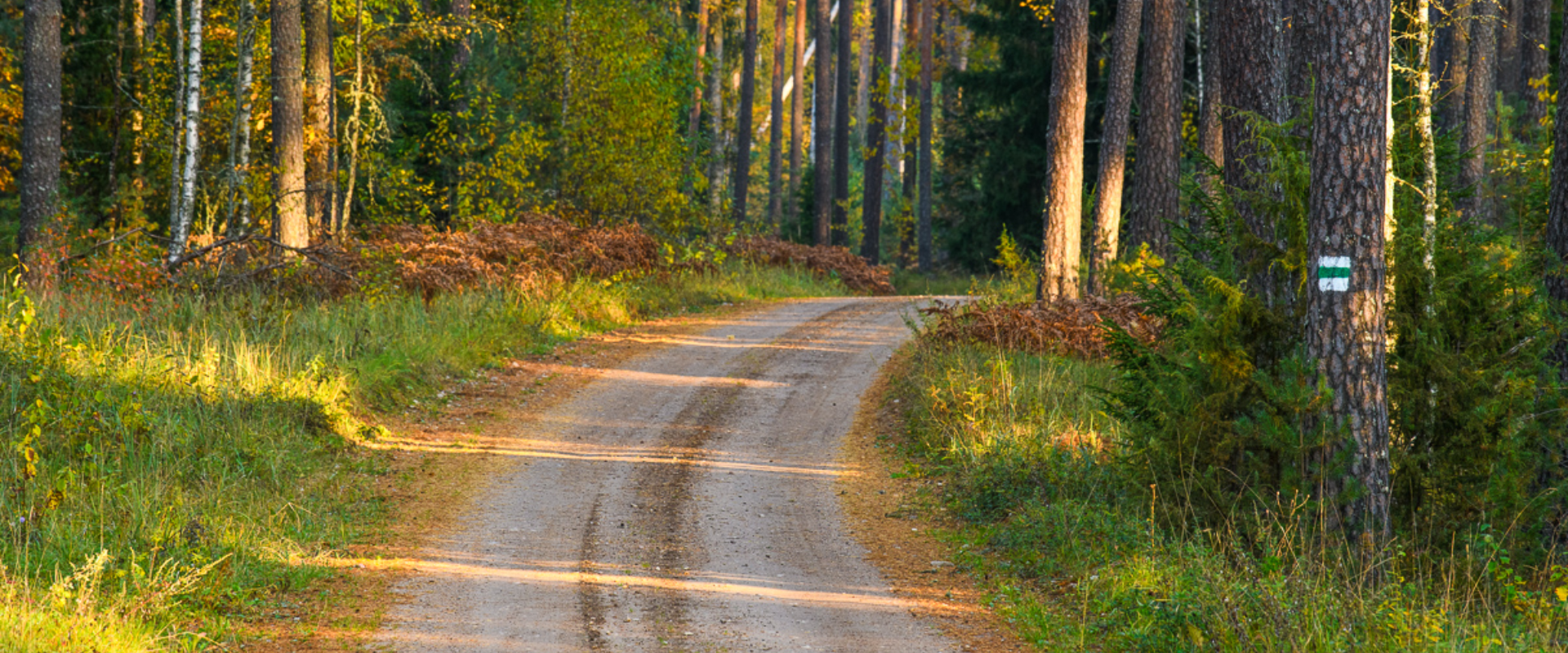
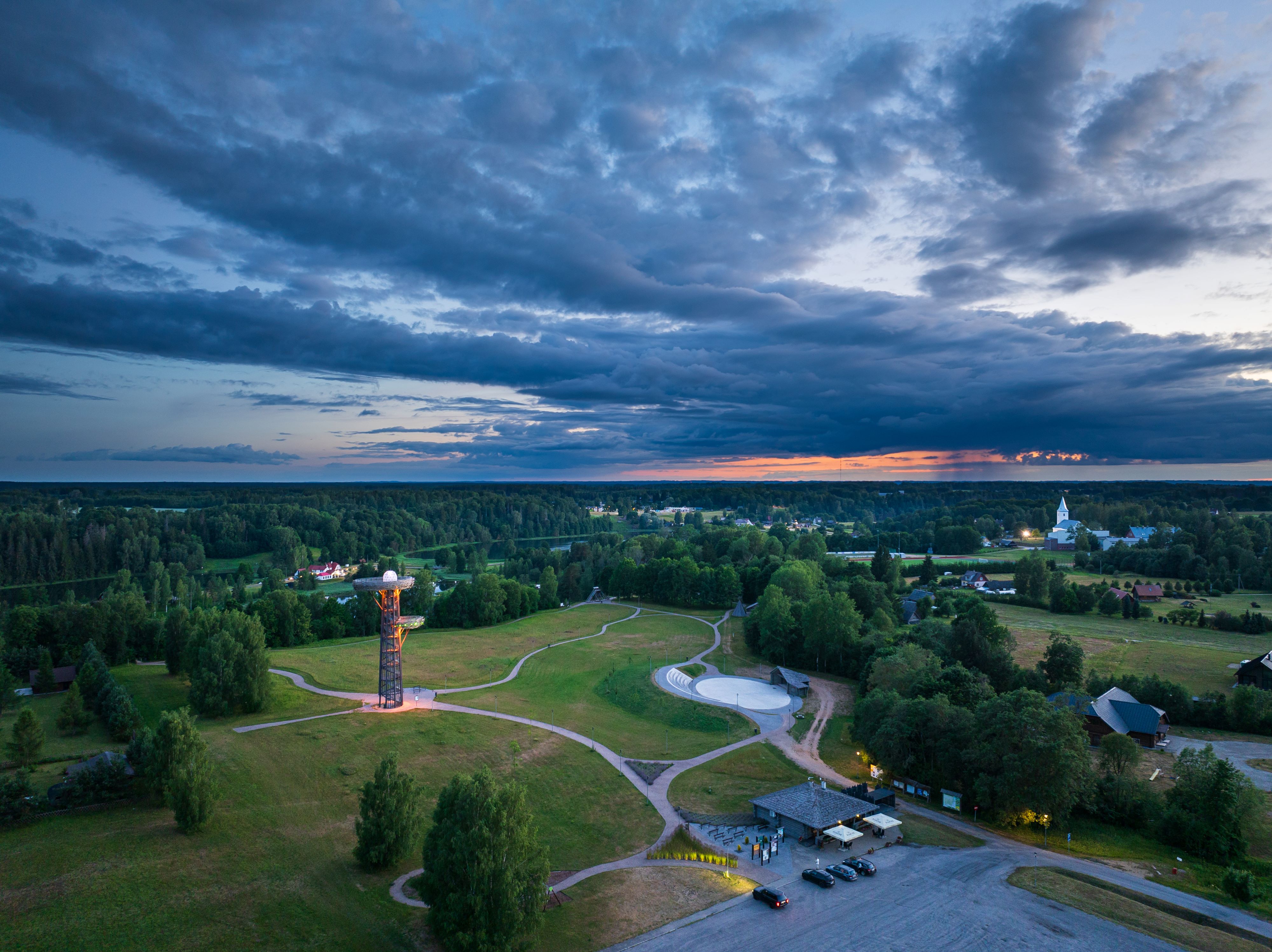
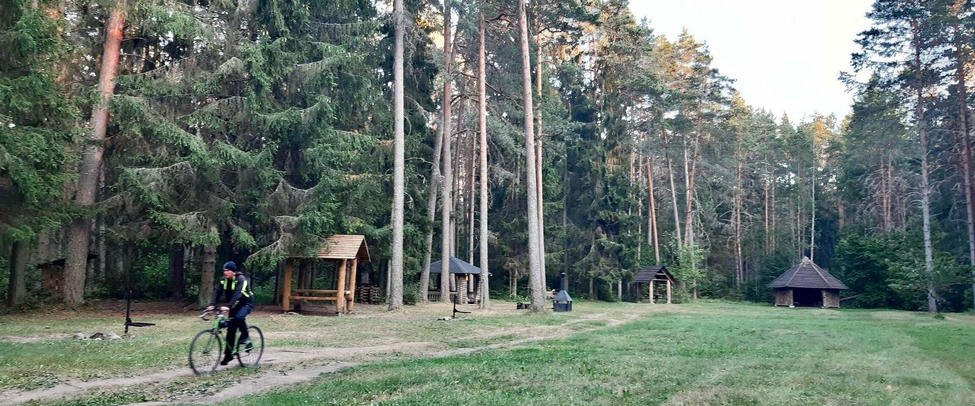
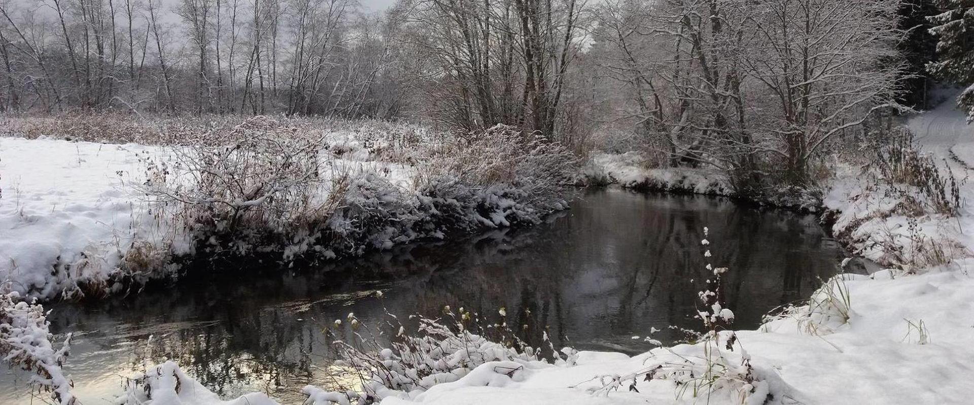
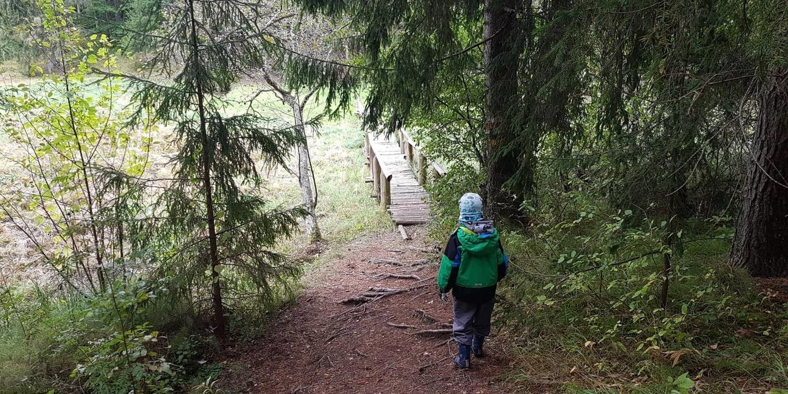
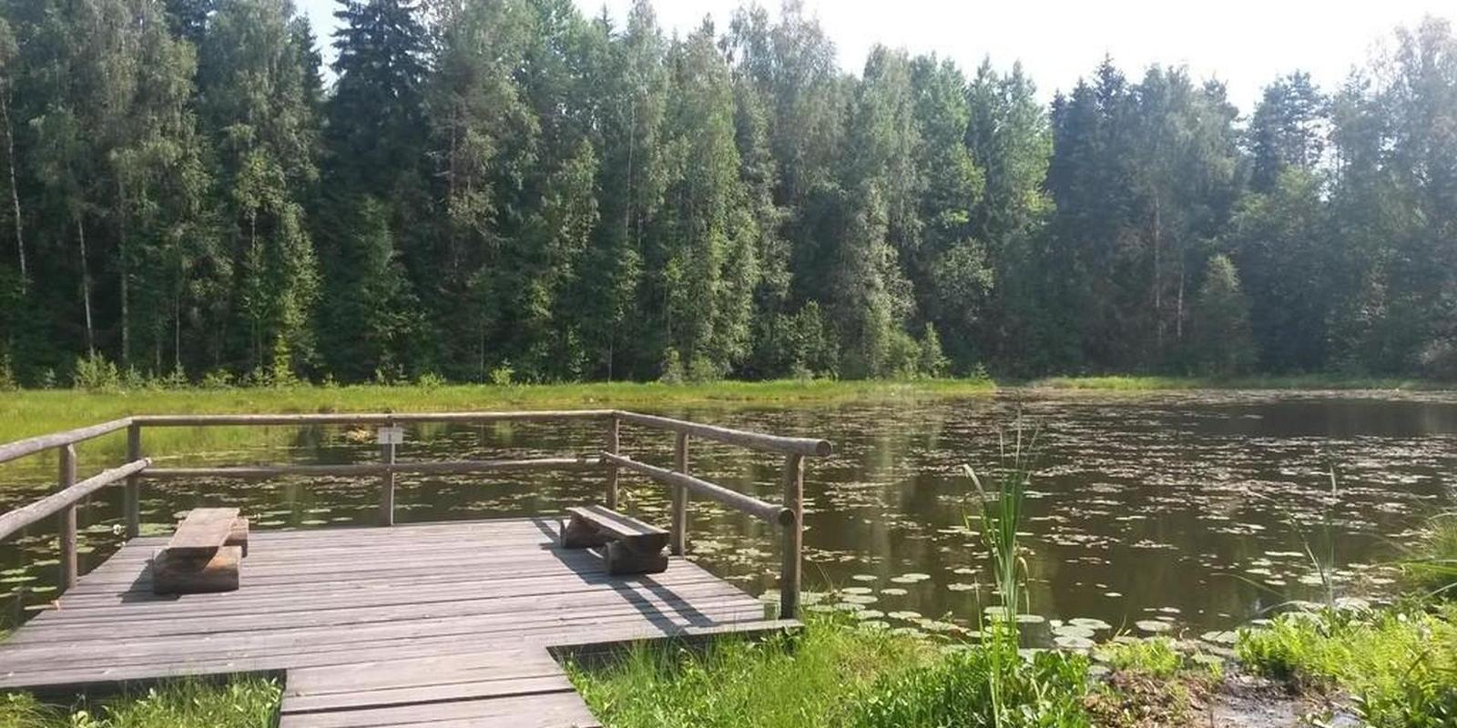
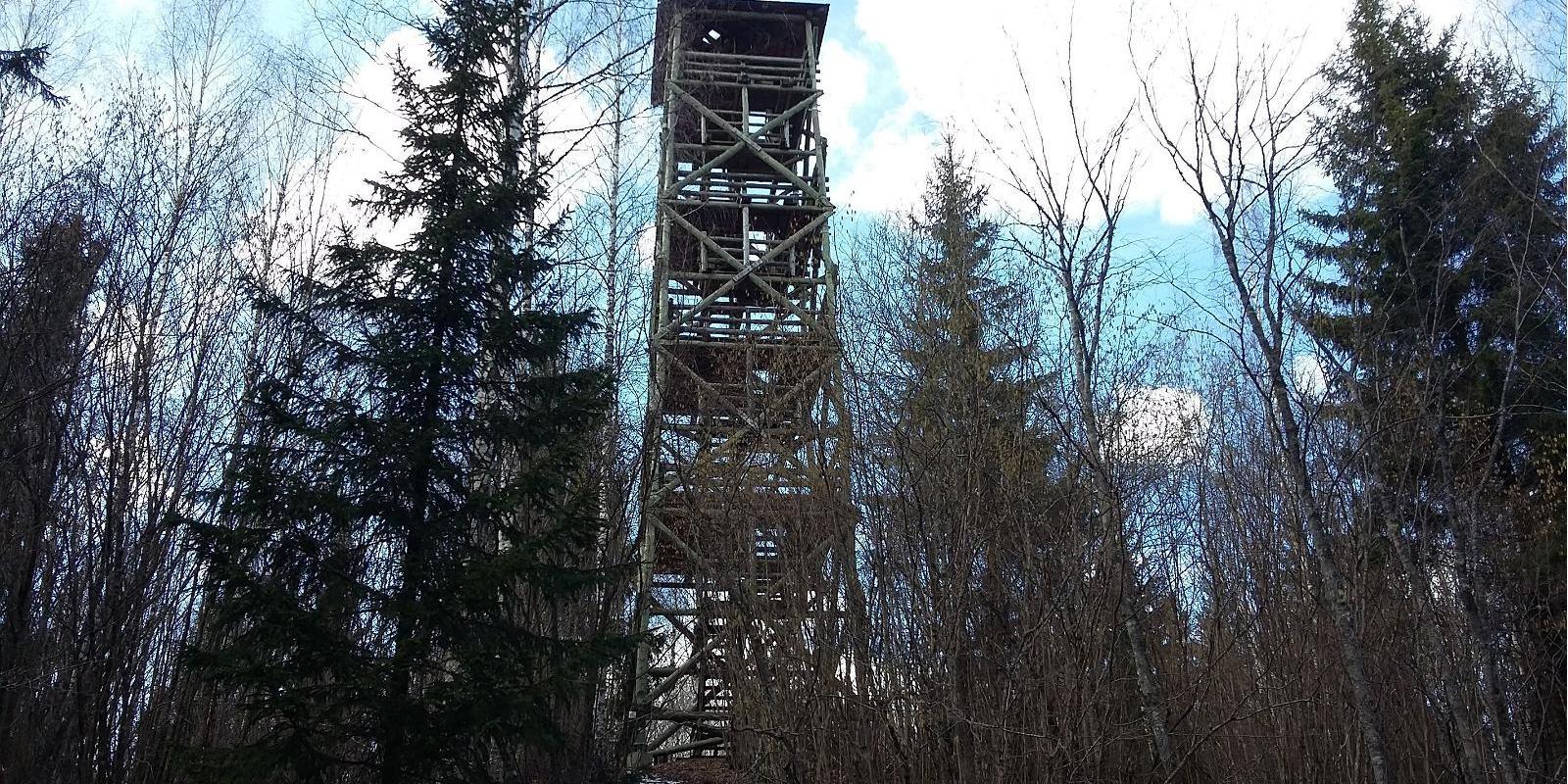
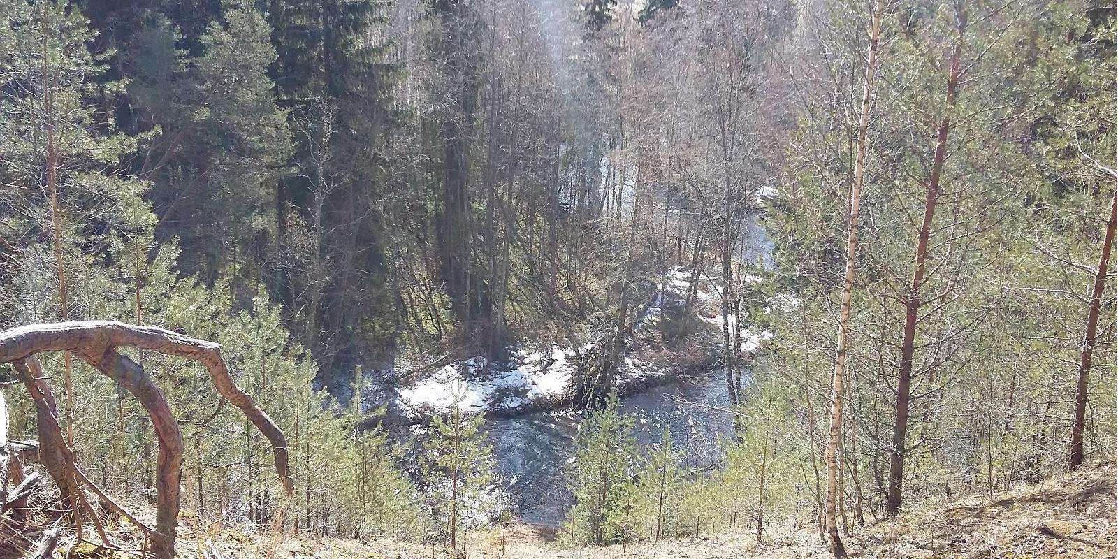
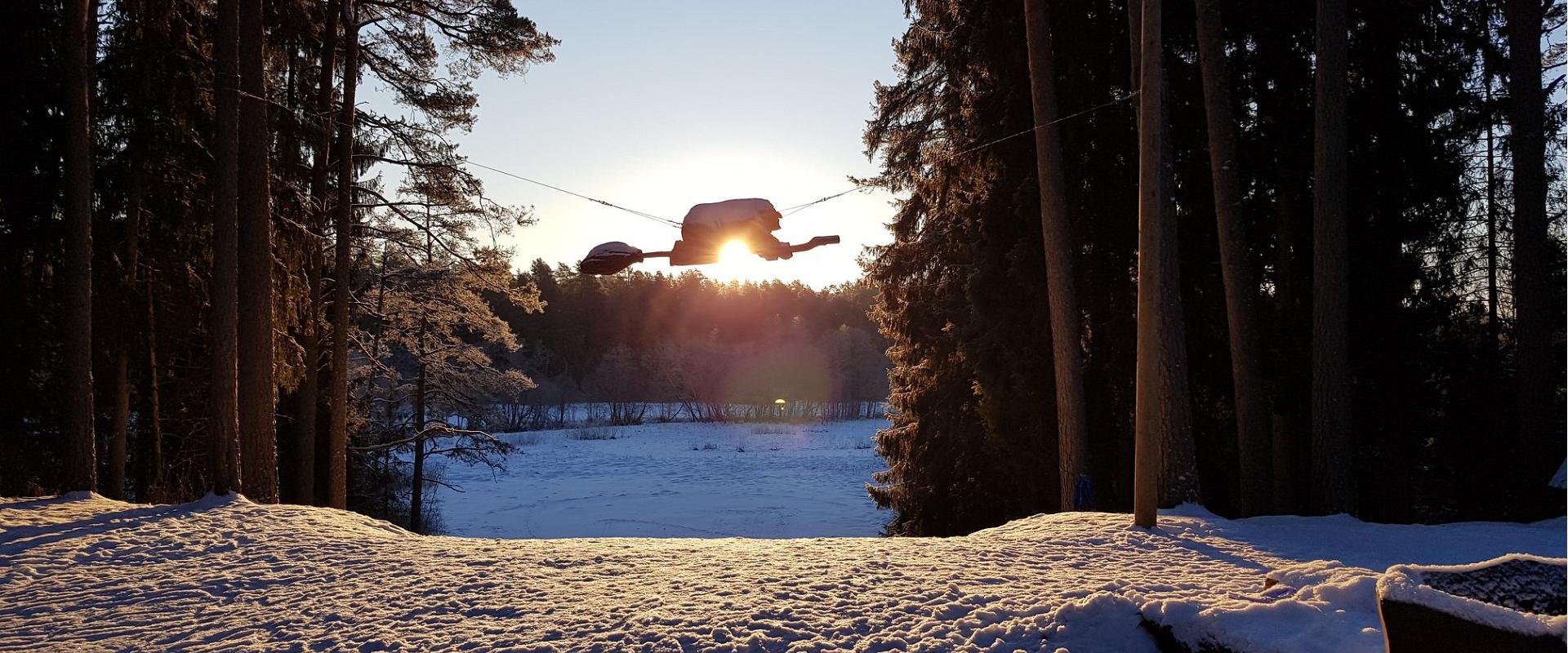
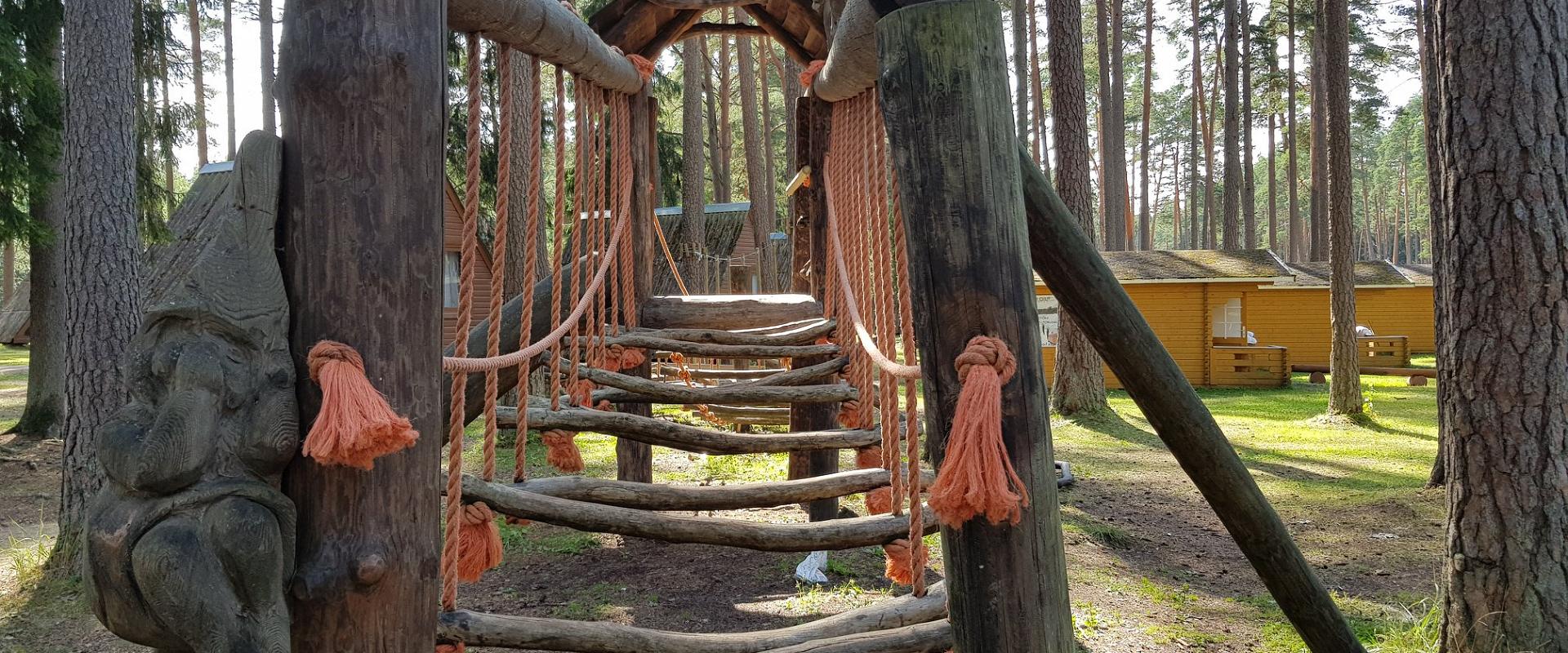
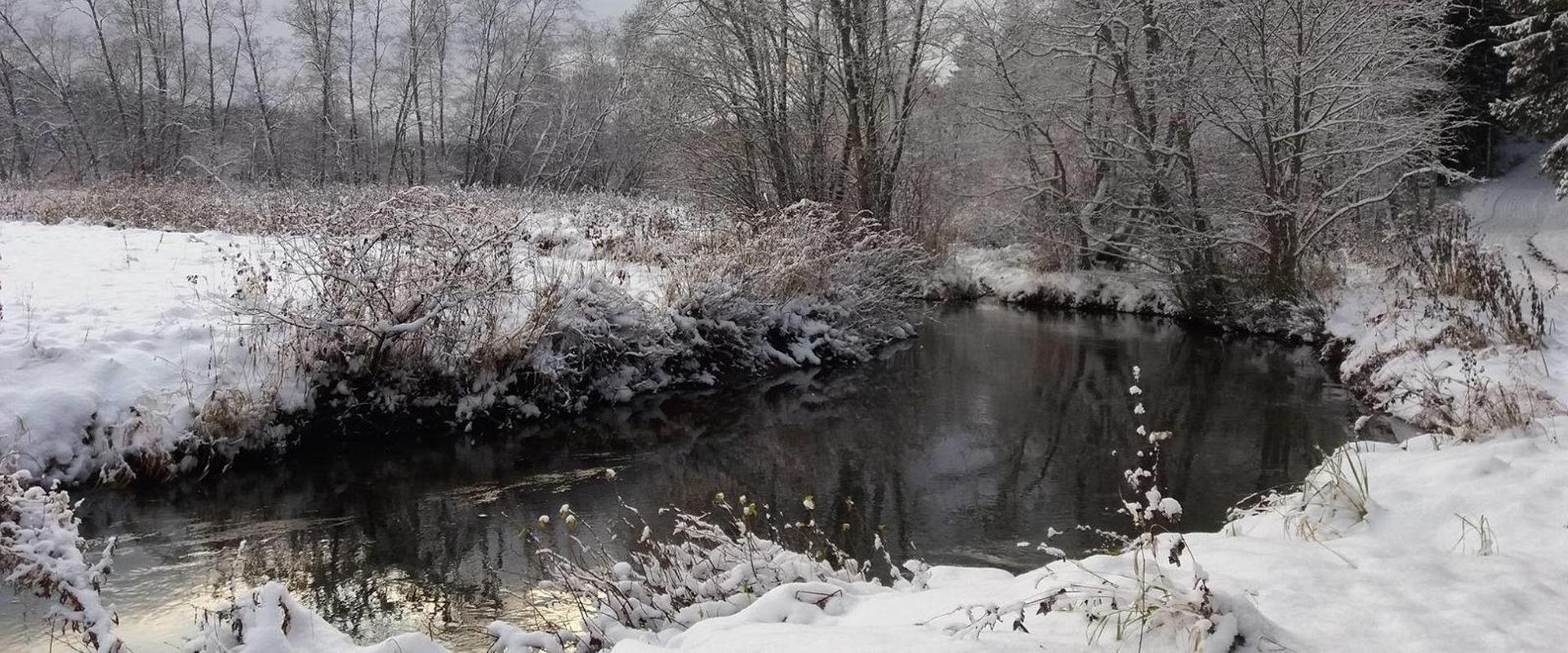
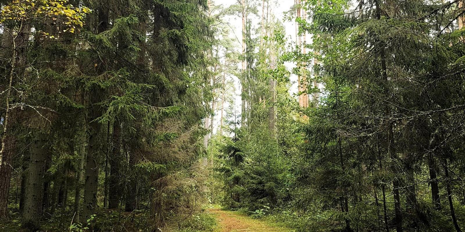
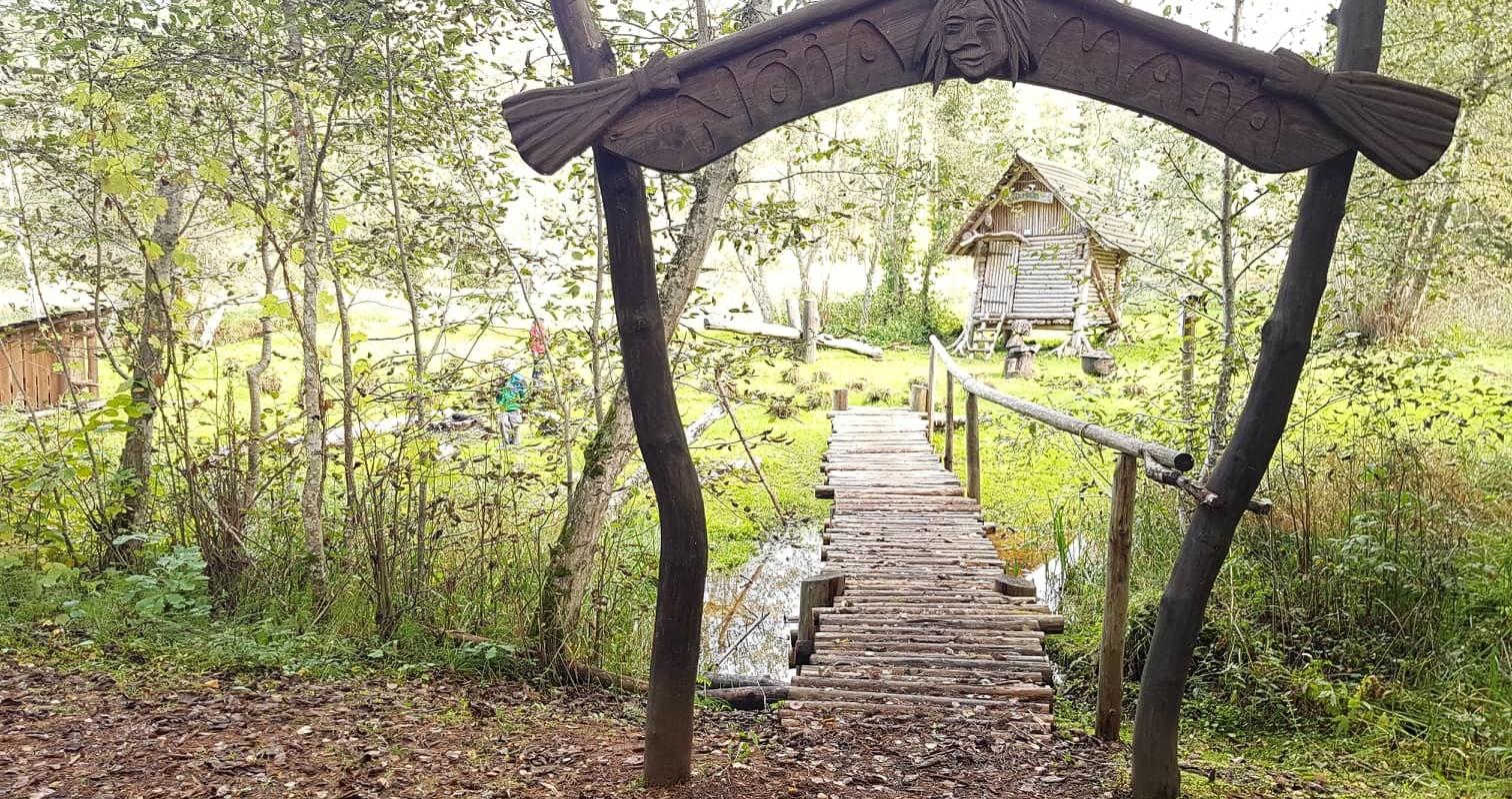
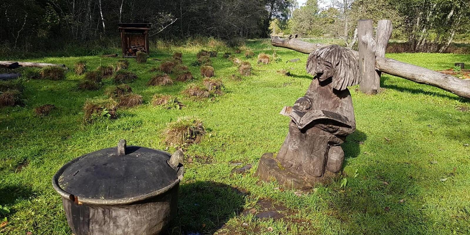
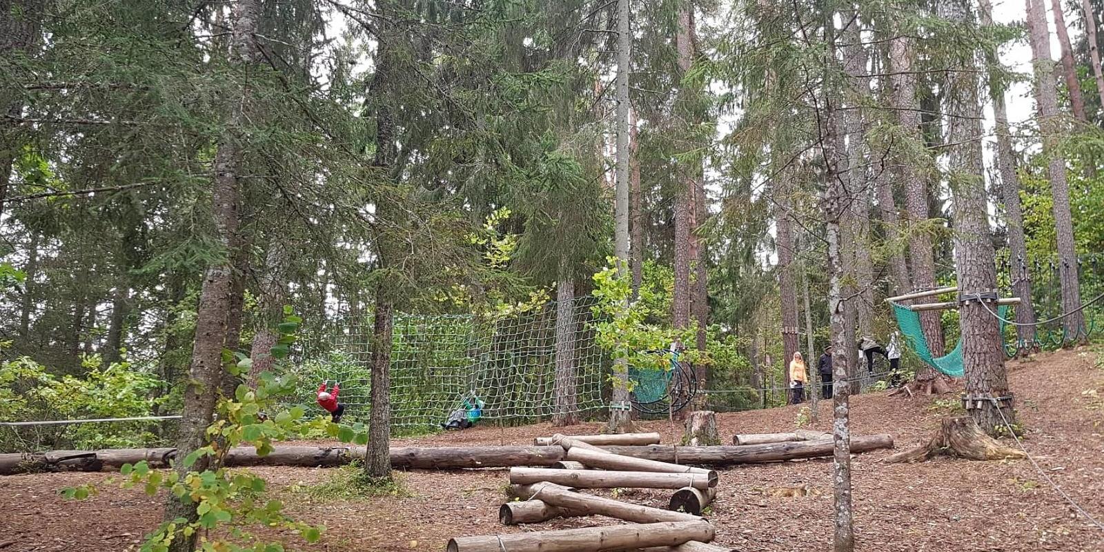
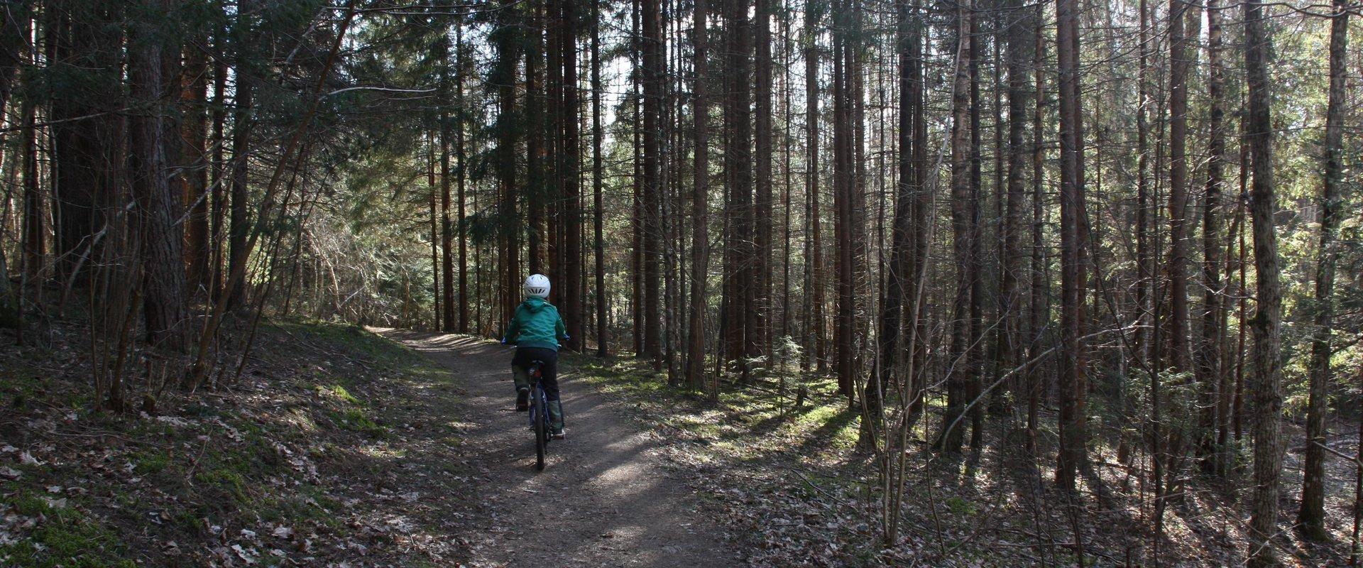
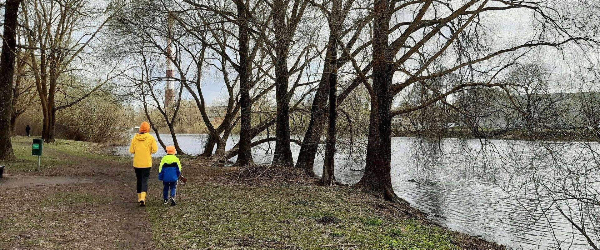
The Elva primeval valley hiking trail is a 15.5 km long trail located in the Elva landscape protection area with alternating terrain for those who want to hike for several days. On the trail, you will find various forest landscapes, sandstone outcrops, wonderful forest lakes, Viti observation tower, floodplain meadows, trenches, beavers, and the kingdom of ants. There is also a Witch’s House and Adventure Trail on the trail.The primeval valley trail starts and ends at the Tartu County Recreational Sports Centre. The scheme of the hiking trail with camping and campfire sites (including the Illi camping area) can be found HERE. The black or yellow numbers on the track indicate the kilometers travelled.Please respect the nature while you’re here!
Mugavused

  • Information boards
  • Drop Toilet
  • Free parking

Lahtiolekuajad

Aastaringselt

Ööpäevaringselt

Kontakt

  • +372 676 7122
  • info.kiidjarve@rmk.ee

Lingid

rmk.ee

Vaata lisaks

  • Lookout towers
  • Hiking Trails

Väike Munamägi Hill

Climbing to the top of Munamägi Hill is worth the effort – the view covers more than 50 km. The absolute height of Väike or Otepää Munamägi Hill is 207.5 m (relative height exceeds 80 m). There is a spring on the north-eastern slope of Väike Munamägi (in the direction of Otepää) that has been considered the start of the Väike Emajõgi River for a long time. The boulder on the edge of the first plain is the biggest in the area – 250,000 kg. Take a look at the aerial panorama (picture by Joel Tammet).

  • Hiking Trails

Hiking trails at Lake Kirikumäe

Kirikumäe's 3.2-km-long hiking trail winds around the lake of the same name, which is known as the best swimming area in the region. There is a bog on the southern shore of the lake and the hiking trail also runs across the bog. For this purpose, a boardwalk has been built there. In any case, however, you must be prepared to get your feet wet here and there. There are information boards, campfires, and forest trails on the track.

  • Camping sites
  • Lookout towers
  • Hiking Trails

Meenikunno hiking trail

Cabins for hikers, an observation tower and a boardwalk attract many nature lovers to the Meenikunno bog. It is a beautiful recreation area. While walking down the boardwalk, you can see the most common bog plants: leather leaf, bog rosemary, crowberry, Marsh Labrador tea, and tussock cottongrass; at the edge of the bog, dwarf birches can also be found. There are also a number of different species of peat moss of various colours. The bravest hikers can try drinking bog water (it has an interesting taste!) from the overgrown ditch near the edge of the bog.Good to know: The boardwalk is pram and wheelchair accessible.

  • Hiking Trails

Rebäse landscape trail

The 7-kilometre-long Rebäse landscape trail is located in the Karula National Park. The trail runs through old farm landscapes, passing the oldest farmstead in the area and the Linnamägi hill with traces of settlement from the Early Iron Age. Hikers can climb up the local "Mount Ararat", see Lake Raudjärv with its ice-cold water, and admire one of the largest gullies of Karula upland.You may need sturdy boots to pass the trail because in rainy weather the trail might be muddy and the boardwalk slippery. The trail also passes pastures, so you might encounter curious but generally friendly cows. Be careful around farm fences, they may be electric!

  • Hiking Trails

Alatskivi Hiking Trail

The 4.5 km long trail around Lake Lossijärv with its varied terrain and beautiful views offers visitors plenty of excitement and sights at any time of year.The trail starts at Alatskivi or by the Bed of Kalevipoeg. Alatskivi Castle and Castle Park, Hirveaed Garden, Sheep Bridge, Bed of Kalevipoeg, Lake Veskijärv, and Lake Lossijärv are all along the trail. There are two large information boards on the trail, log stairs in the Bed of Kalevipoeg, two bridges, signs, and small information boards that introduce the objects found in the protected area.

  • Hiking Trails

Kirna hiking trail

Kirna’s 6.8 km study trail provides a good opportunity to explore the Pedja River meadows and forest. To gain a better view of the meadows and river, the Altmetsa Farm has an observation tower. A suspension bridge helps to cross the river. On the right bank of the Pedja River, you will find the magnificent oak tree Musutamm. The trails of wild boars and beavers can also be seen on the study trail.While on the trail, you might hear gunfire as the Kirna Training Centre of the Defence League is close by. The access roads to the meadows intersect the study trail in several places, please carefully follow the trail marking!

  • Lookout towers
  • Hiking Trails

Valgesoo study trail

The study trail is well-suited for getting acquainted with the development and vegetation of bogs and for observing pine cultures. A 1.8 km long circular study trail revolves around the Valgesoo bog. On the she study trail you can explore the bog vegetation, old pine plantation ("Baron's pine forest"), and a forest edge rich of Scottish wood ants. The whole trail is accessible by a wheelchair or stroller. To facilitate movement on the track, there is a track map and colour markings on the trees. There is an observation tower and a campfire site at the start of the study trail.Valgesoo bog is one of the 21 places worth discovering in Southern Estonia, which is suggested to be visited for those who are interested in nature.

  • Hiking Trails

Lake Viti hiking trail and observation tower

The Lake Viti hiking trail is a nature trail that passes through an exciting hilly forest landscape. The trail information boards provide information about the Vitipalu forests, the woodpeckers that inhabit them, their nesting sites, the ant kingdom, and more. The trail features a hiking hut, a campfire site, Viti Lake, a 20-meter-high wooden observation tower overlooking the surrounding greenery, and a pleasant picnic spot with shelters. The Lake Viti trail is suitable for hikers of all ages, but it is not suitable for strollers or wheelchairs. The Lake Viti hiking trail begins and ends at the trail parking lot. The trail is marked with yellow stripes.

  • Privacy Policy

"*"обозначает обязательные поля

Это поле используется для проверочных целей, его следует оставить без изменений.
Я разрешаю маркетинг