• Avasta
    • Еда
    • Природа
    • Культура
    • Семья
    • Спорт
    • Сообщество
    • Блог
  • Planeeri
    • Размещение
    • Информация
    • Varamu
RUS
  • РусскийRUS
  • EestiEST
  • EnglishENG
  • LatviešuLAT
  • SuomiFIN
RUS
  • РусскийRUS
  • EestiEST
  • EnglishENG
  • LatviešuLAT
  • SuomiFIN
Populaarsed otsingud:
Näita kõiki tulemusi
  • Nature and Activities
  • Nature
  • Lookout towers
  • Hiking Trails

Harimägi and Harimäe Observation Tower

Aakre metskond 69, Otepää vald, Valga maakond, 67003

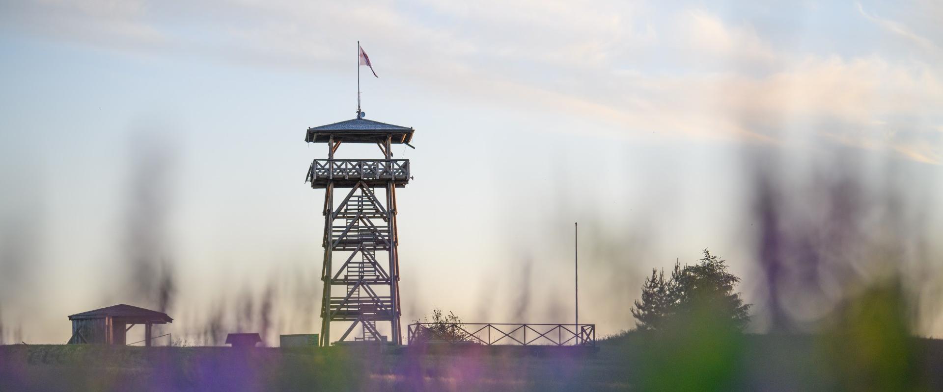
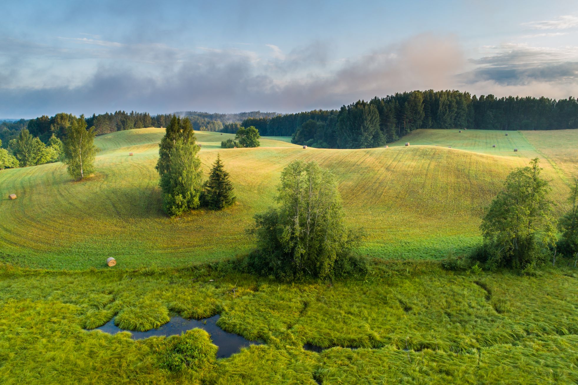
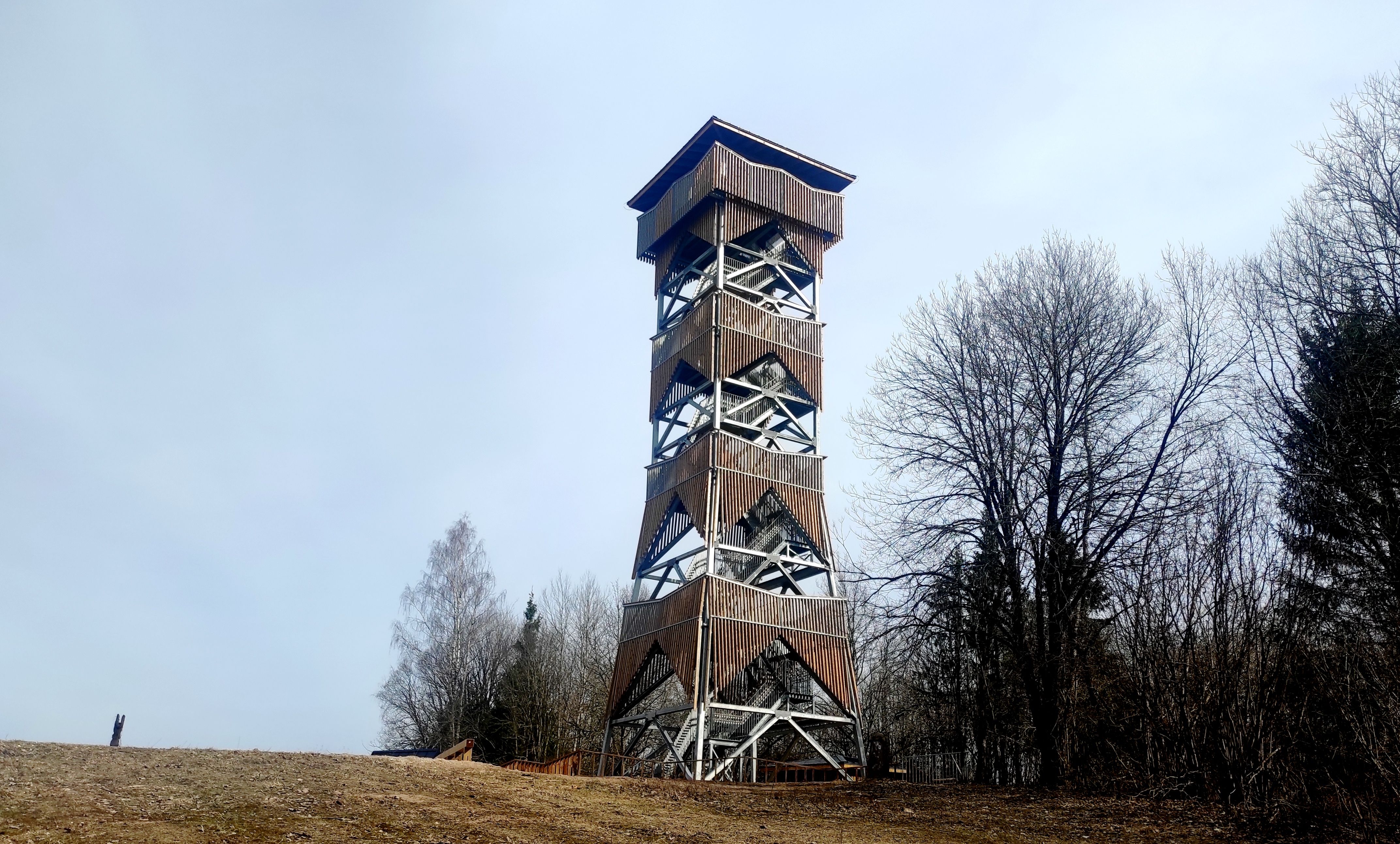
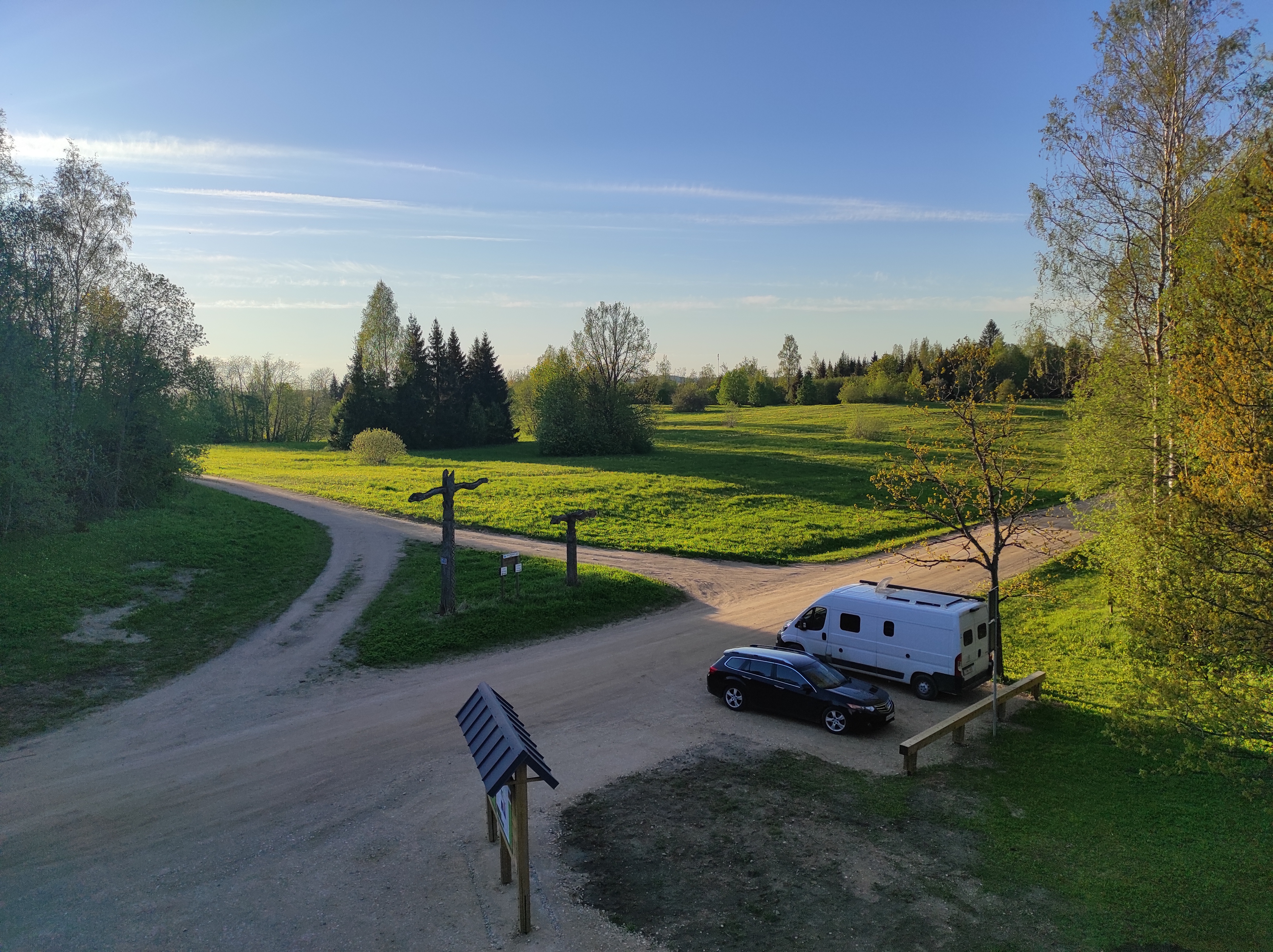
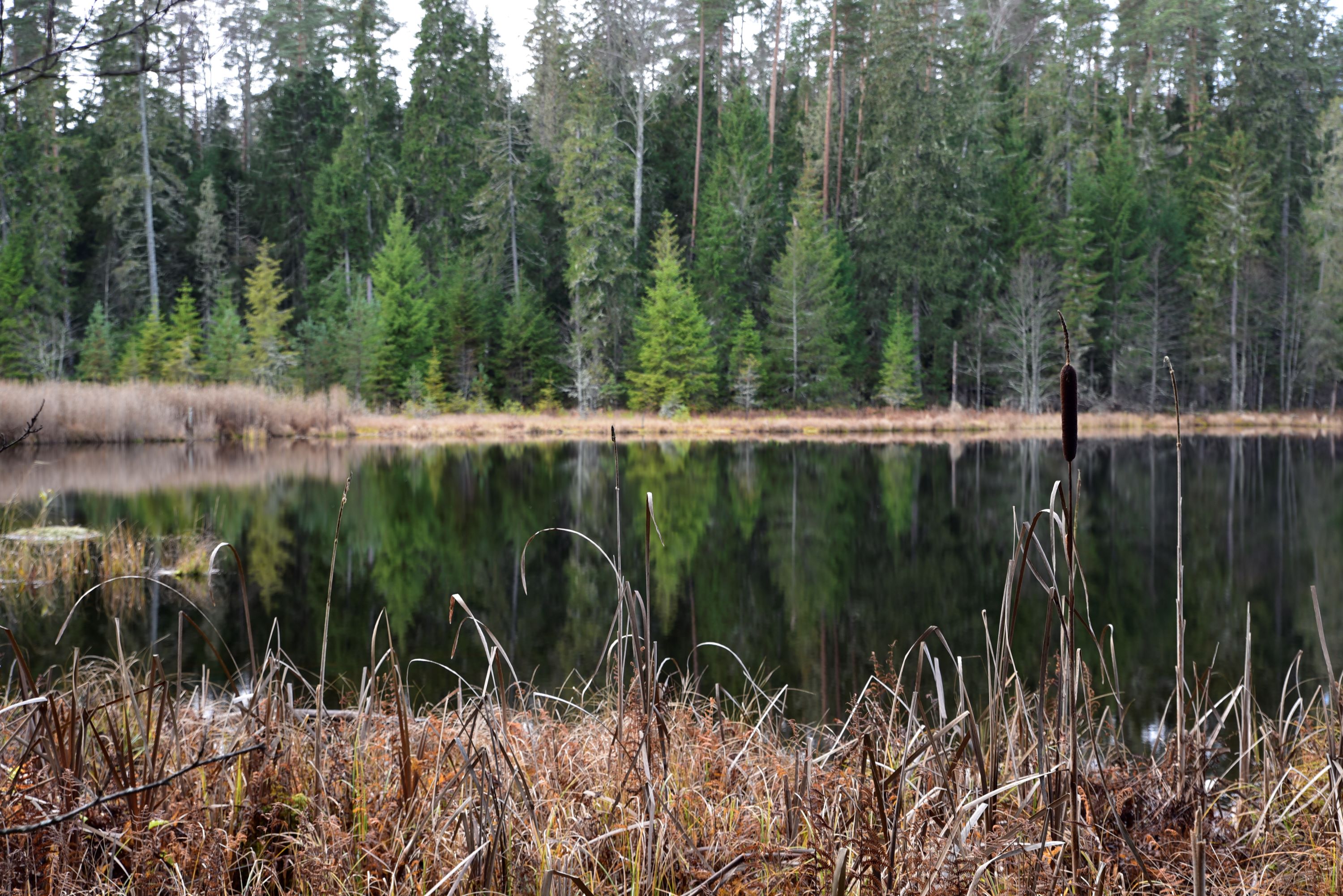
Harimägi is one of the largest mesas in the Otepää Uplands (211 m above sea level). It is worth coming to Harimäe whenever you are near Otepää.
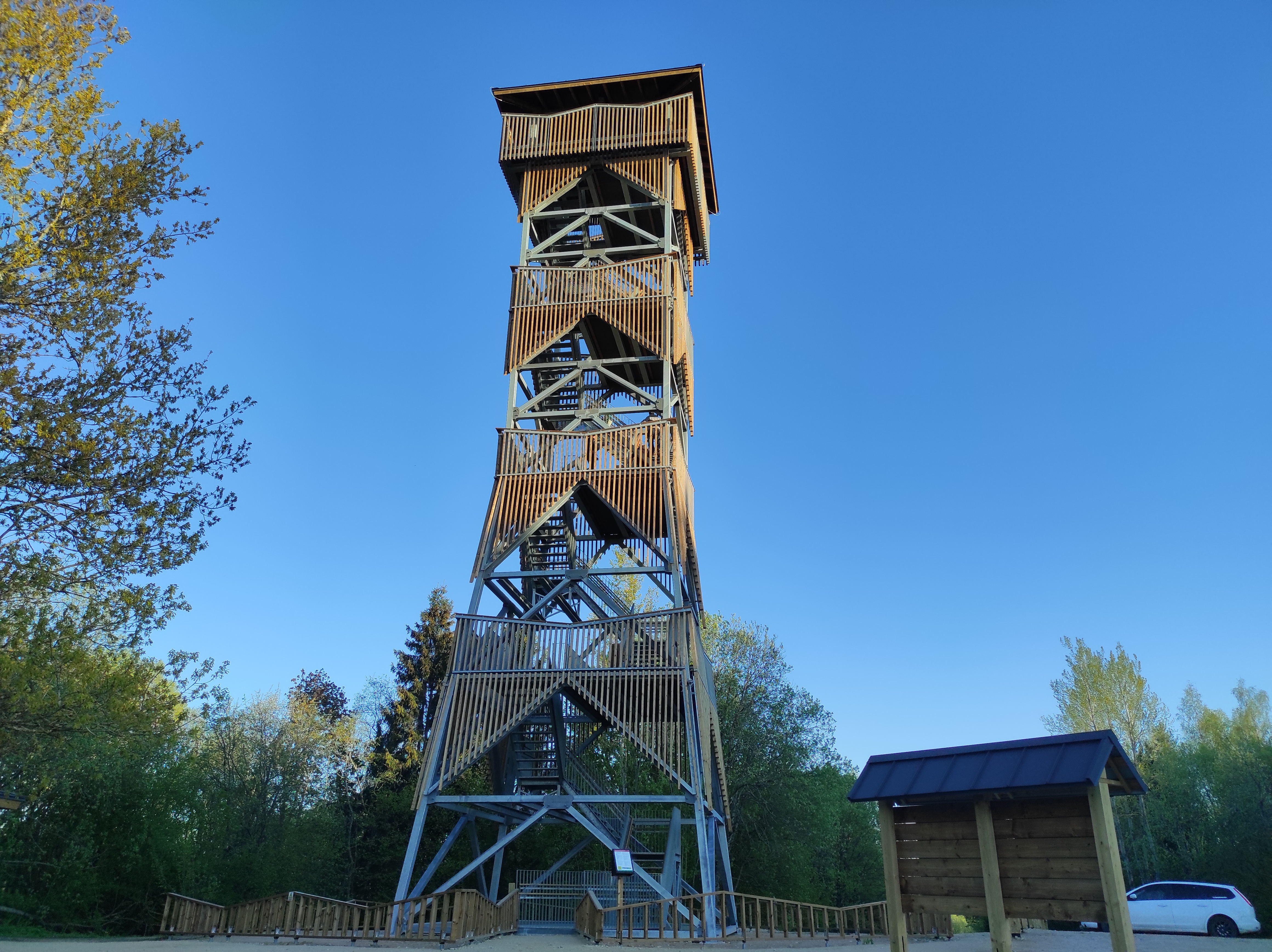
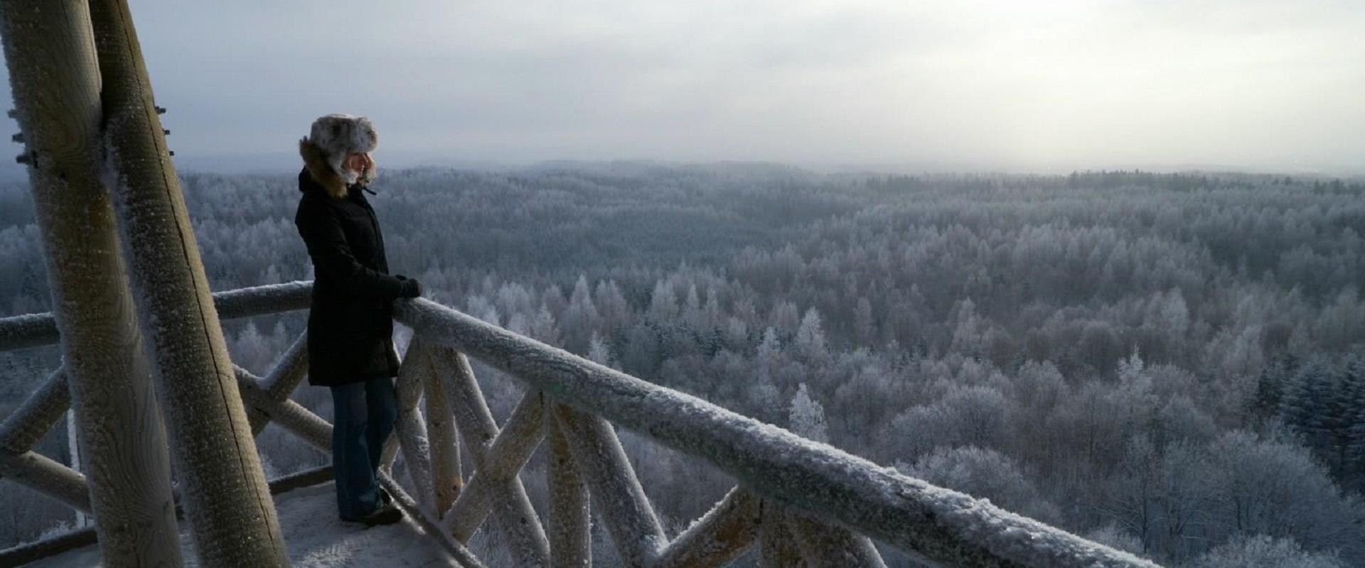
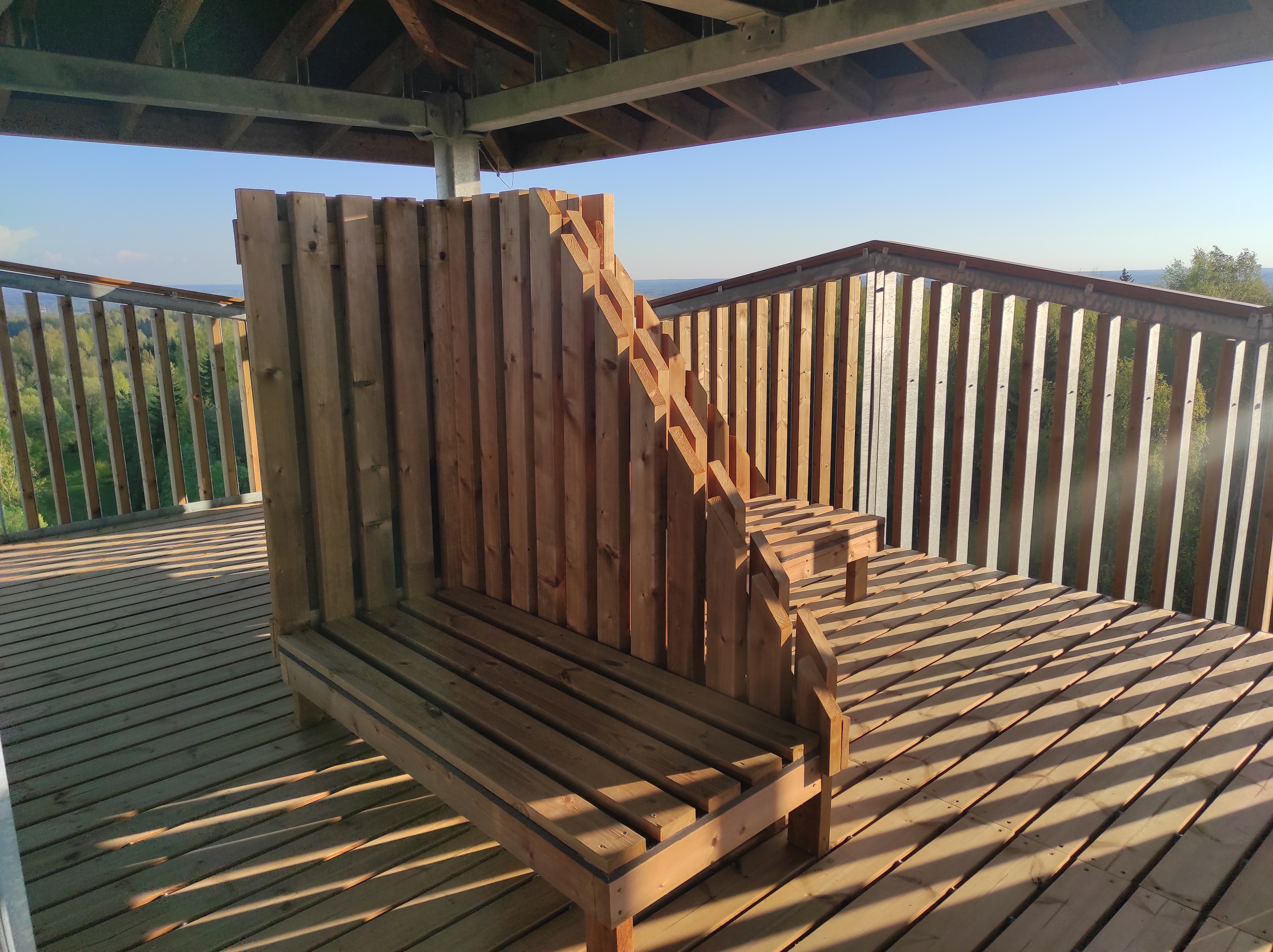
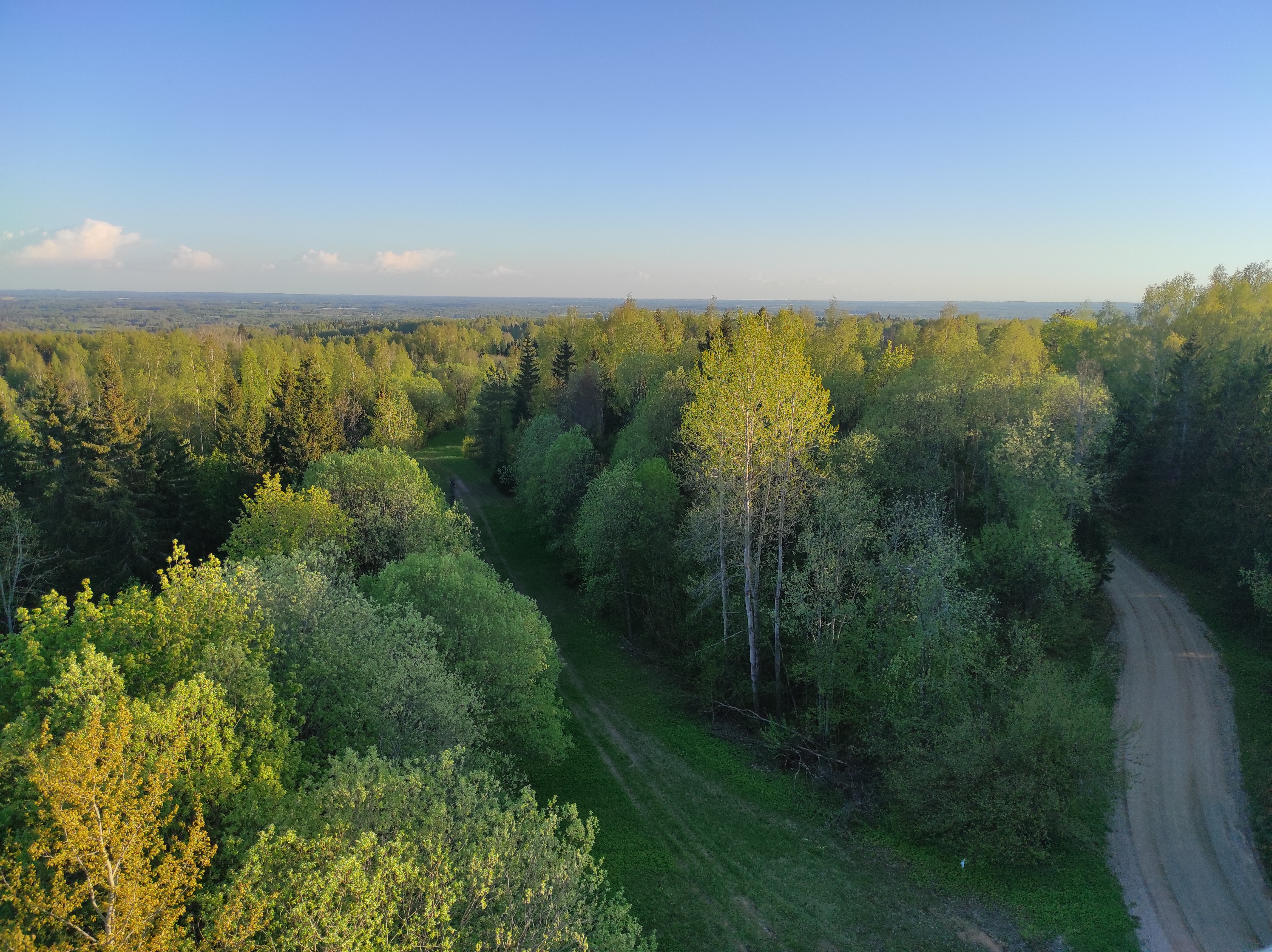
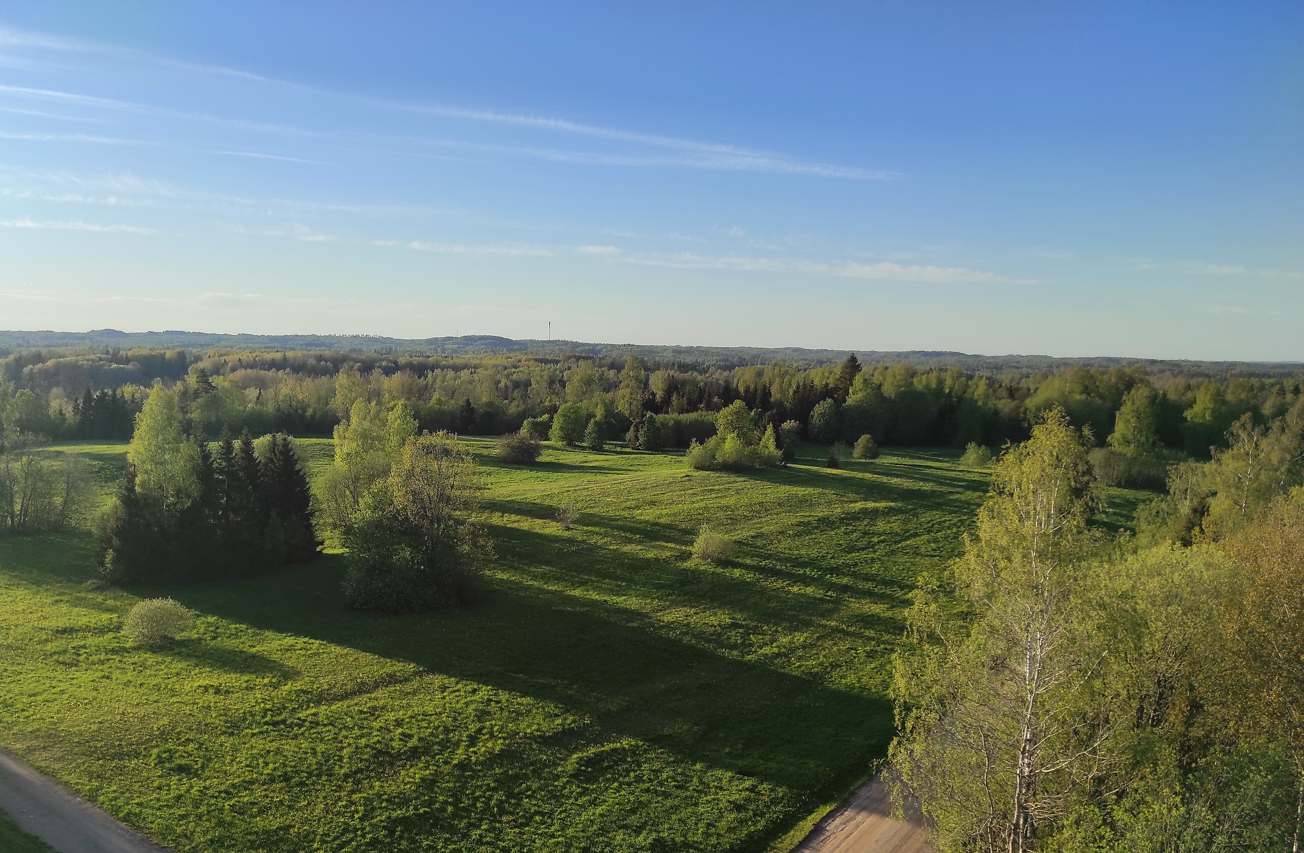
The Harimäe Observation Tower is located 3 km from Kääriku in the direction of Sangaste. The height of the tower is 28 m, and the highest viewing platform is 24 m high. The tower offers views of the Otepää mountains and across the Väike Emajõgi valley to the Karula upland.
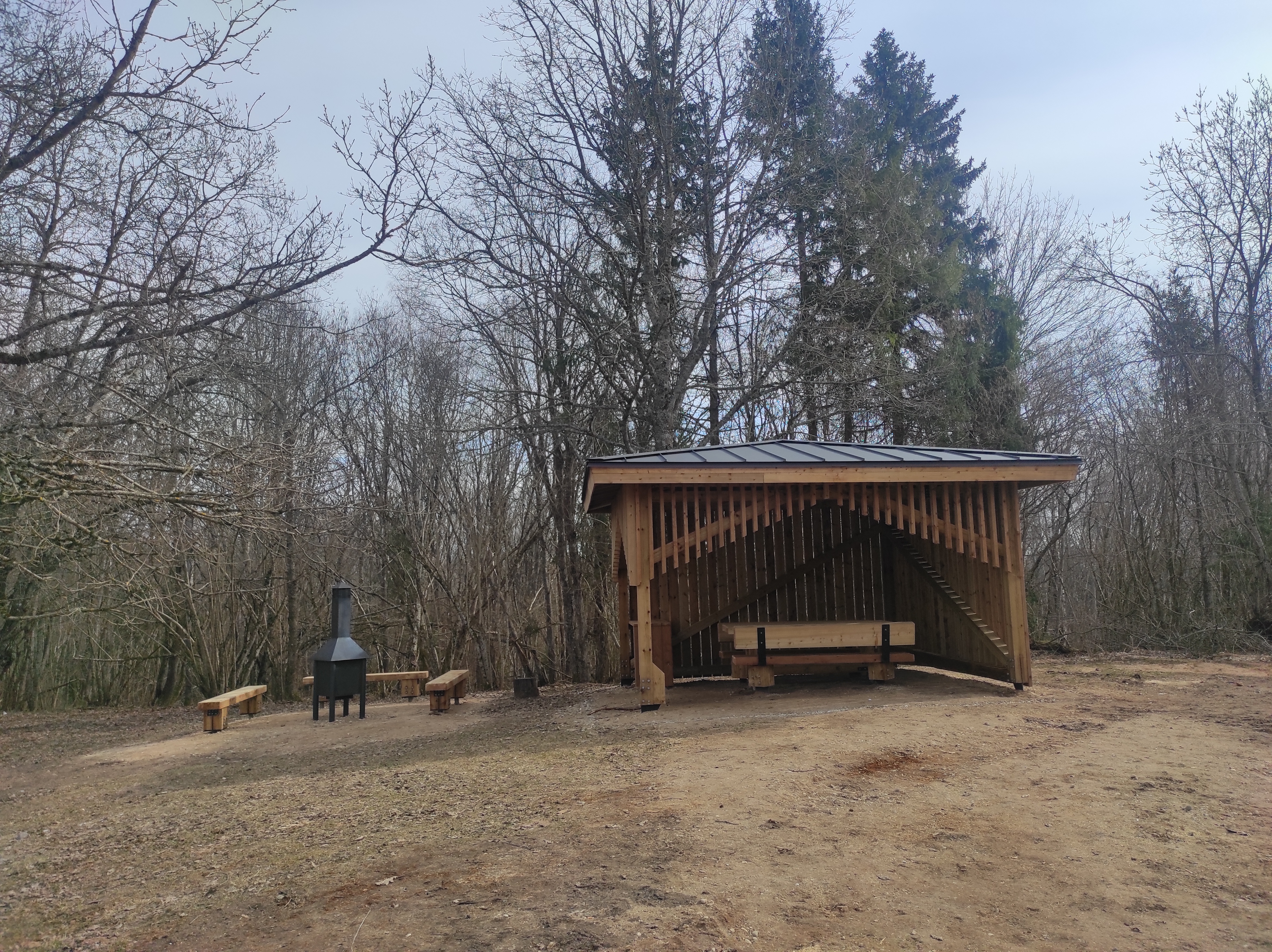
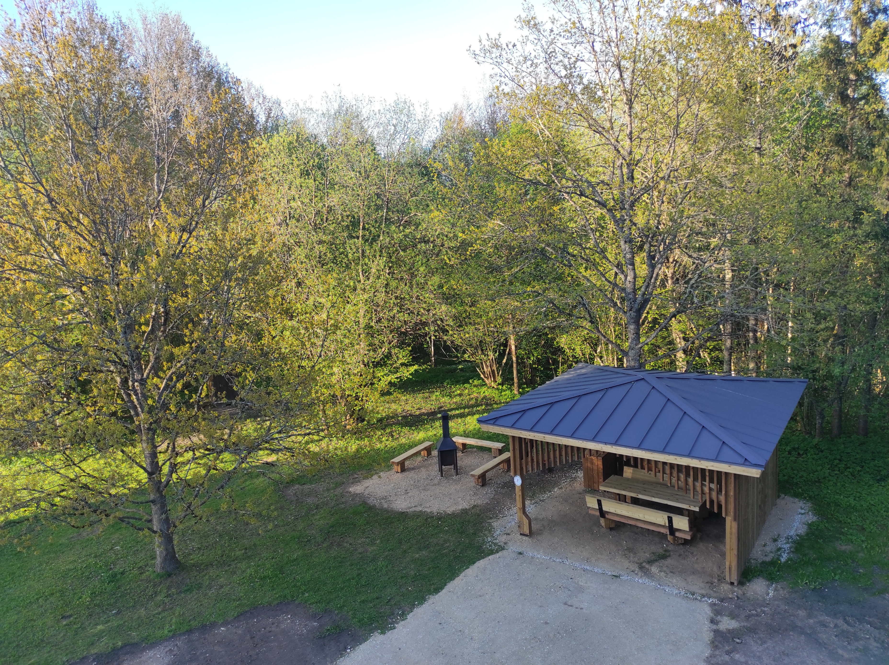
Camping is also allowed at the tower.
Good to know: Harimägi is also called ‘Leenard and Leonhard’s hill.’ From 1816 to 1819, geodetic surveys were carried out here by the internationally recognised astronomer and surveyor Friedrich Georg Wilhelm Struwe (1793–1864).
Mugavused

  • Information boards
  • Drop Toilet
  • Free parking

Lahtiolekuajad

Aastaringselt

Ööpäevaringselt

Kontakt

  • +372 766 1200
  • turism@otepaa.ee

Lingid

rmk.ee

Vaata lisaks

  • Lookout towers

Tõrva Lion Tower

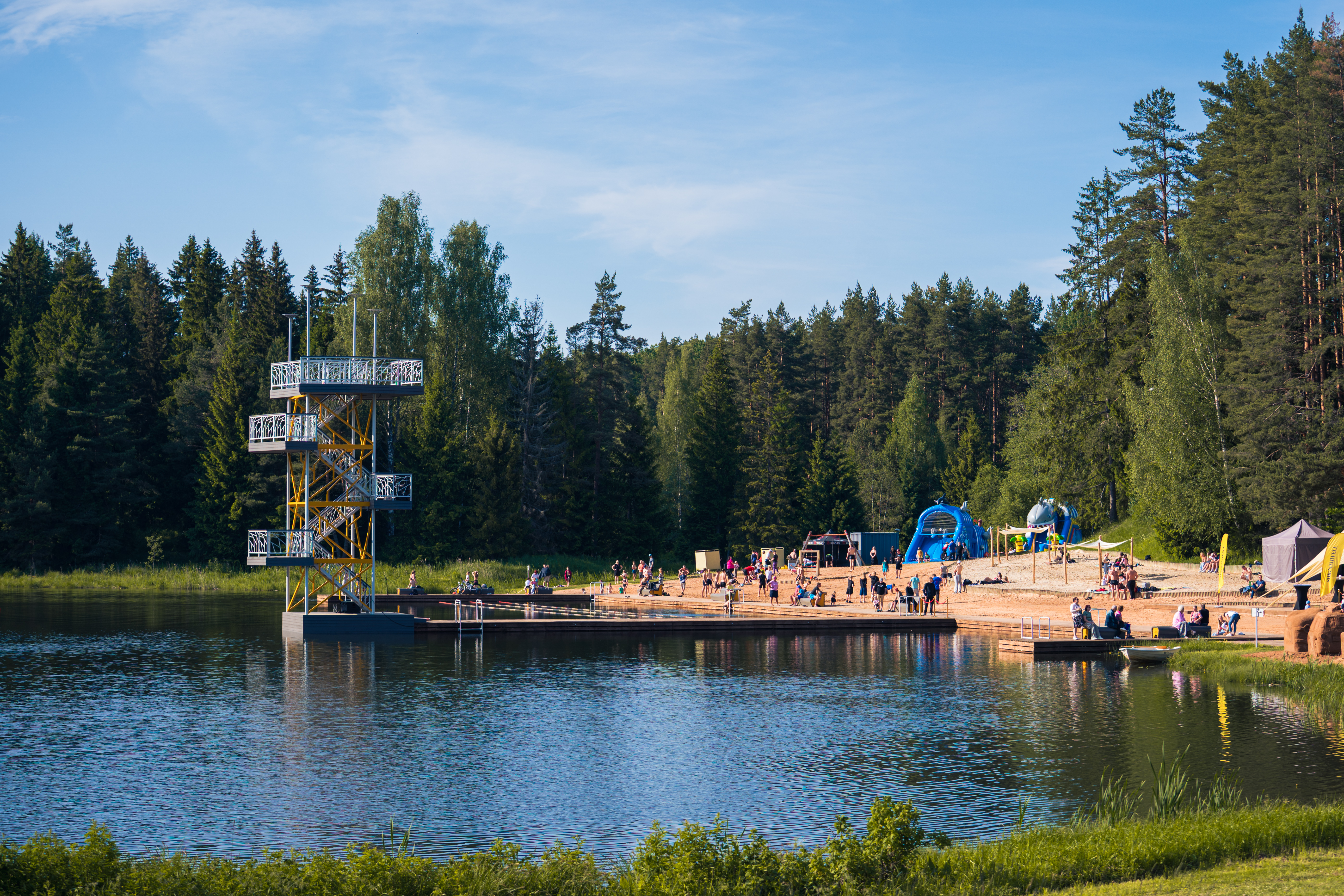
Tõrva Lion Tower in Lake Vanamõisa in Southern Estonia is the highest diving tower in the Baltic States. It was built to replace the legendary Tõrva Vanamõisa diving tower, offering visitors a safe and exciting opportunity for summer water fun. The tower has four floors, each with a diving platform from which you can dive into the lake. The height of the last platform from the water surface is 11 meters, and the total height of the tower with light masts reaches 14 meters. The name is inspired by Shroomwell's lion's mane soft drink, Focus State. Lake Vanamõisa is a popular summer destination for both locals and visitors from afar. The lake is located on the edge of the town of Tõrva. In addition to the diving tower, the beach has a boardwalk and athletic courts. During the summer season, the beach is supervised by lifeguards from 11 AM to 7 PM. Lifeguards offer volleyball, badminton, and spikeball rentals. There are changing cabins and toilets available. The tower also serves as a viewing platform for the lake and its beautiful surroundings.

  • Hiking Trails

Taevaskoda Hiking Trail

Come walk with your family on the Taevaskoda hiking trail, located in the Ahja River Valley Landscape Reserve. The trail starts from the Taevaskodade parking lot and runs circularly along both banks of Ahja River, where the outcrops of Väike and Suur Taevaskoja, caves formed by springs, and picturesque views catch your eye.At the beginning of the hiking trail, there is an information board with a map of the recreational area and the trail. On the trail, signs in Estonian, English, and Russian will help you find the way. Visitors with a wheelchair or a stroller can travel along the alternative trail to Suur Taevaskoda, length 3 km. Good to know: you can see kingfishers flying around while walking in Taevaskoda.

  • Hiking Trails
  • Parks

Pühajärve War Oak

You'll need several people to measure the circumference of the ancient, nearly 400-year-old oak tree towering nearby Lake Pühajärv in Otepää! The trunk of this ancient tree has a circumference of 6.6 meters. It is called the War Oak because it has witnessed many historical events. Apparently, peasants of the Pühajärv Manor refused to work for the manor in autumn 1841 and the rebels were punished near the oak. The Pühajärve War was one of the first peasant uprisings against the landlords in Estonia, and in memory of it, an oak tree was planted nearby, where a memorial stone was erected on the 130th anniversary of the uprising. A beautiful park with walking tracks surrounds the tree today, and although the ancient tree is no longer in its full glory, it stands here to its full dignity, recalling times gone by.

  • Hiking Trails

Laari Forestry Study Trail

The 3-km-long circular forestry study trail, starting at Laari campfire site, is suitable for a peaceful walk for holidaymakers at the campfire site, nature lovers, and hikers with pets.The trail is very diverse - it runs along the paths and trails of the bright pine forest, the mysterious pine forest, and the eye-catching birch forest, over the Lambiniidu and a ditch, over which wooden bridges have been built.The trail is marked with signs and red dots on trees, the information boards on the trail introduce the surrounding nature and the different ways of forest management.

  • Hiking Trails

Mustjärve hiking trail

A beautiful bog lake hides in the shade of a pine forest in the northern part of the Lulli bog next to Lake Võrtsjärv. The natural lake is large (23 ha) and very shallow (there is only a metre of water here).The hiking trail starts at the information stand in the car park. Further on, the boardwalk leads directly to the water, which offers scenic views of the lake and the surrounding bog landscape. The short hiking trail (2.3 km) runs around the lake. It is impossible to get lost here, because the trail is circular and everyone finally gets back to the starting point.In the second half of the summer, cloudberries, blueberries, cranberries, and mushrooms can be picked from the surroundings.

  • Hiking Trails

RMK Nohipalo study trail

The Nohipalo study trail is an interesting and educational hiking trail. There are 16 information boards on the three-kilometre trail, which give a good overview of hunting and forestry.The diversity of the nature makes the trail exciting – boreo-nemoral forests, eskers, and heath forests, where blueberries, lingonberries, and mushrooms can be picked depending on the season.On the study trail, you can admire the magnificent badger area and explore the traces of beavers. If you are lucky, you might even see an animal there.The Nohipalo study trail starts and ends at the Ilumetsa forest house.

  • Hiking Trails

RMK Voorepalu Põrgurada trail

The hiking trail, which is suitable for a pleasant walk, starts on the other side of the road opposite the Voorepalu campfire site and runs along an extremely varied landscape with several steep ascents and descents. The trail has information boards introducing past events and folklore and the highest point of the trail has a table and benches for resting. Rope railings have been installed on the steep slopes of the trail.The historical Postal Road runs between the campfire site and the hiking trail. Ristimänd tree and many other exciting places are on the trail with a varied landscape. Two cars can park at the campfire site.

  • Lookout towers
  • Hiking Trails

Kekkonen hiking track

The Kekkonen hiking track can be used all year round – in summer for hiking, jogging and cycling and in winter for skiing. The track was named after former Finnish president Urho Kaleva Kekkonen, who visited Kääriku. The 15 km track starts from Kääriku stadium and passes through several spots of natural beauty, including Harimägi Hill – one of the highest points in the Otepää Highlands (211.3 m above sea level). Its viewing tower, which stands 26 metres high, is right next to the hiking track. Those with more energy can follow the additional 5 km loop on Harimägi Hill.

  • Privacy Policy

"*"обозначает обязательные поля

Это поле используется для проверочных целей, его следует оставить без изменений.
Я разрешаю маркетинг