• Explore
    • Nature
    • Culture
    • Food
    • Family
    • Activity
    • Blog
    Smoke sauna
    Weather and seasons
  • Plan
    • Accommodation
    • How to get here
    • Weather and seasons
    • Sustainability
    • Tourist info
    Discover South Estonia’s Most Beautiful Manors and Castles
    Top 20 Sights in South Estonia
  • For professionals
    • For professionals
    • Collaboration
    • News
    • Projects
    • Training
    • Repository
    • Community (opens in new tab)
    • Contacts
ENG
  • EnglishENG
  • EestiEST
  • LatviešuLAT
  • РусскийRUS
  • SuomiFIN
ENG
  • EnglishENG
  • EestiEST
  • LatviešuLAT
  • РусскийRUS
  • SuomiFIN
Popular searches:
Show all
  • Nature and Activities
  • Nature
  • Hiking Trails

Tiksoja hiking trails and campfire sites

Tartu linn, Tartu maakond, 61410

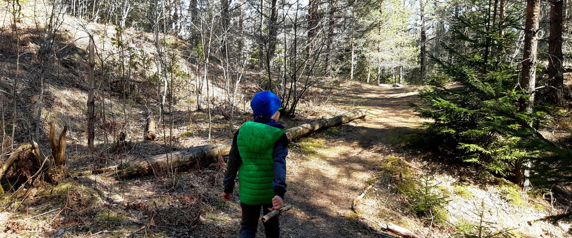
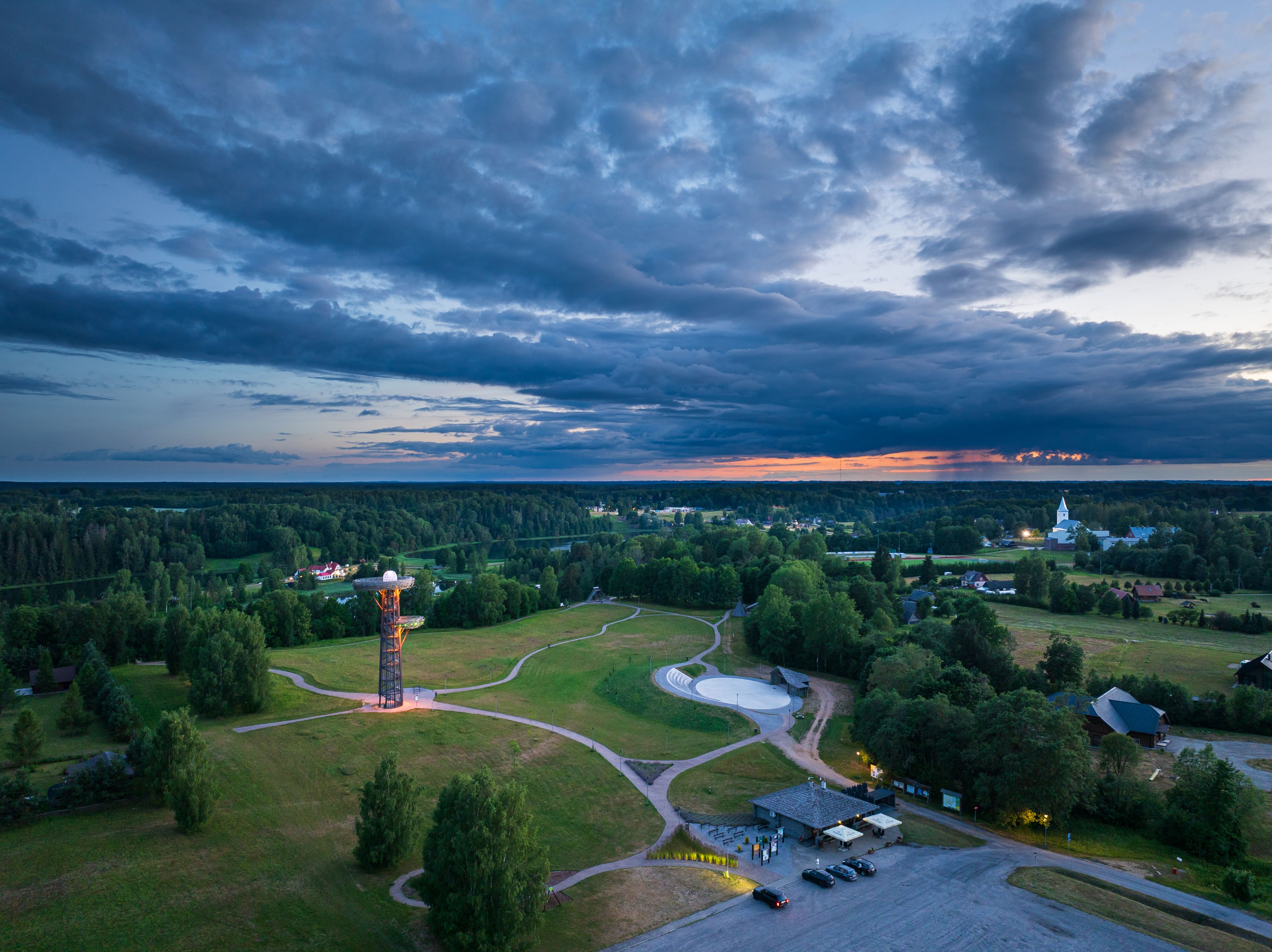
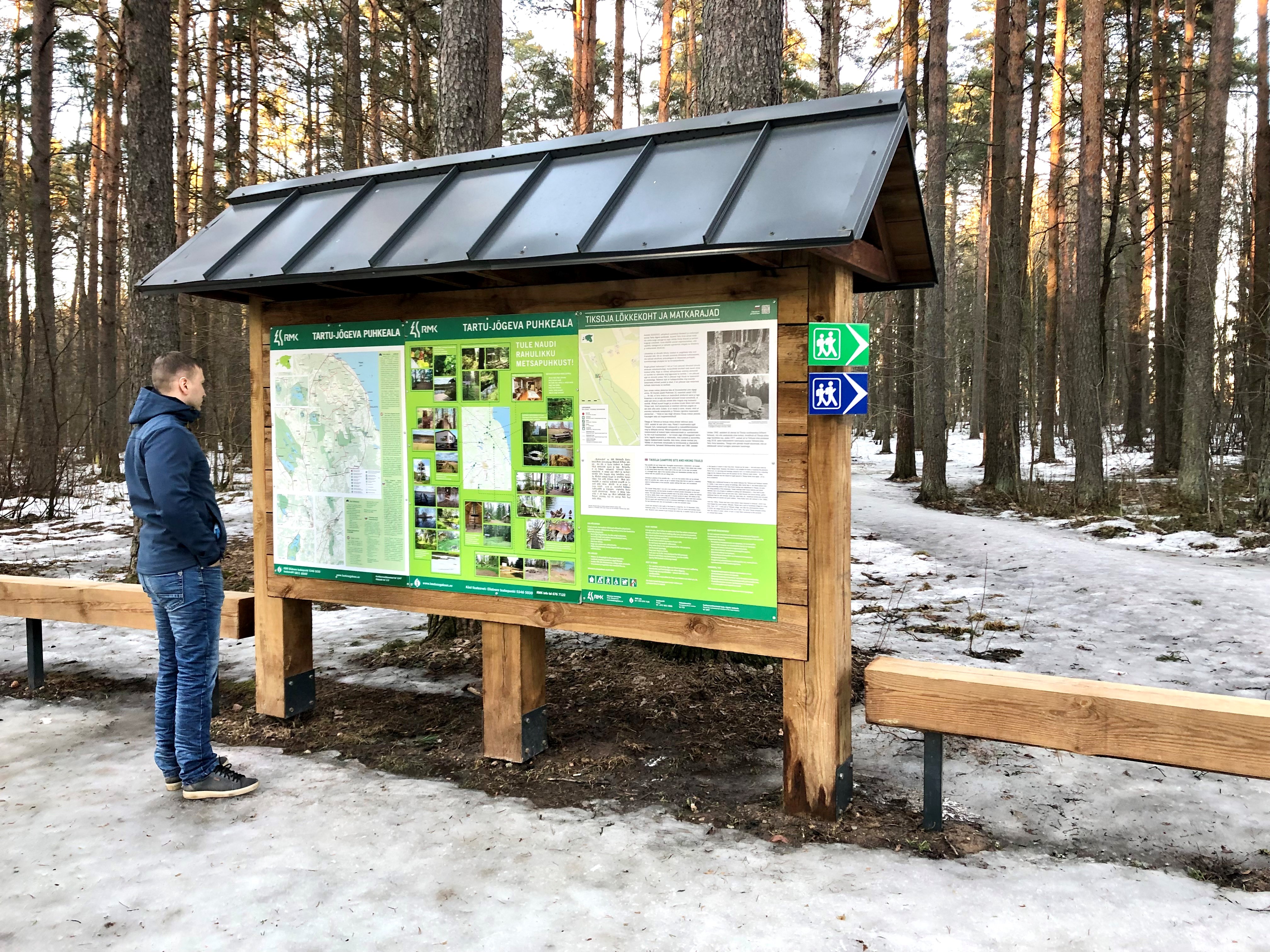
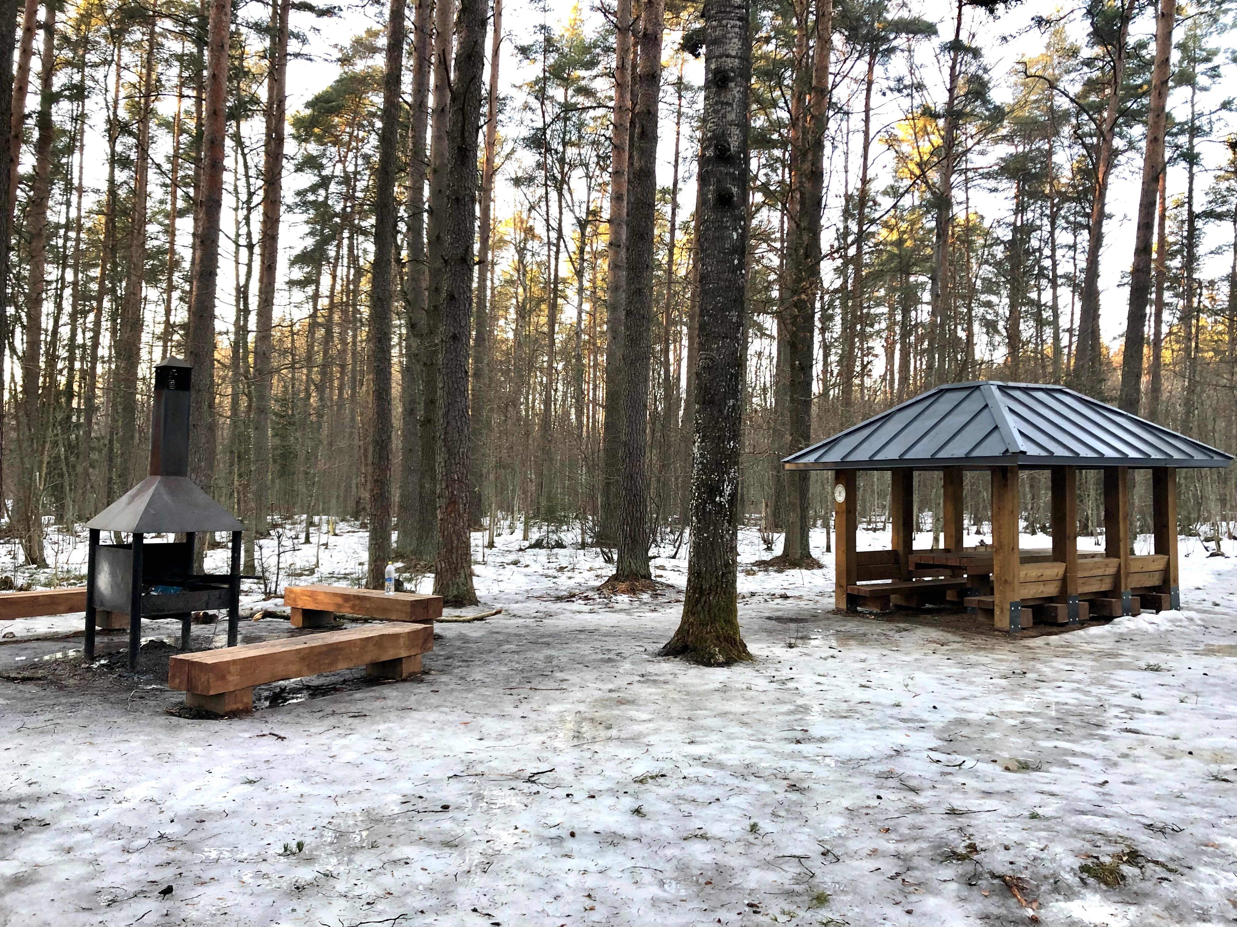
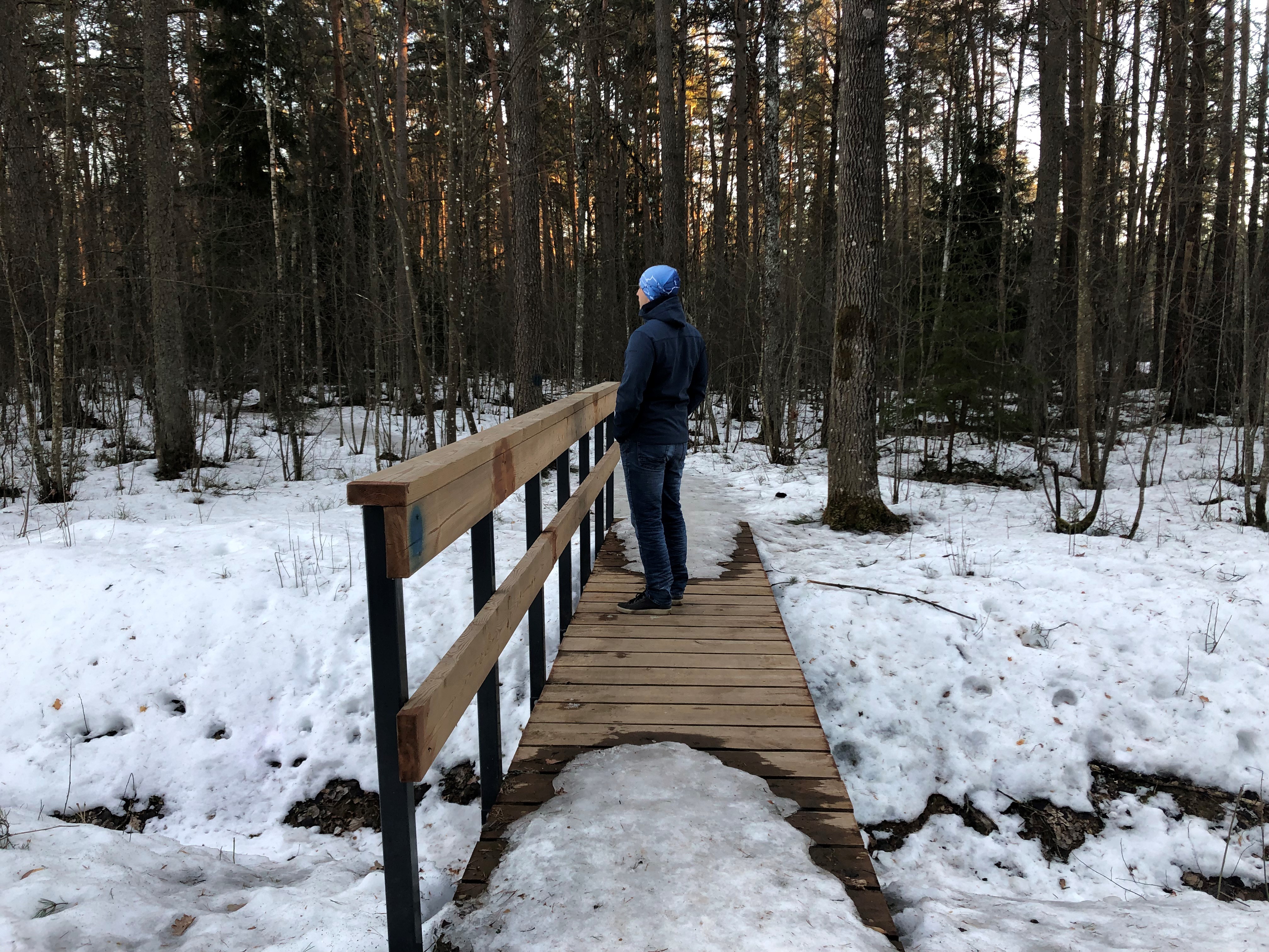
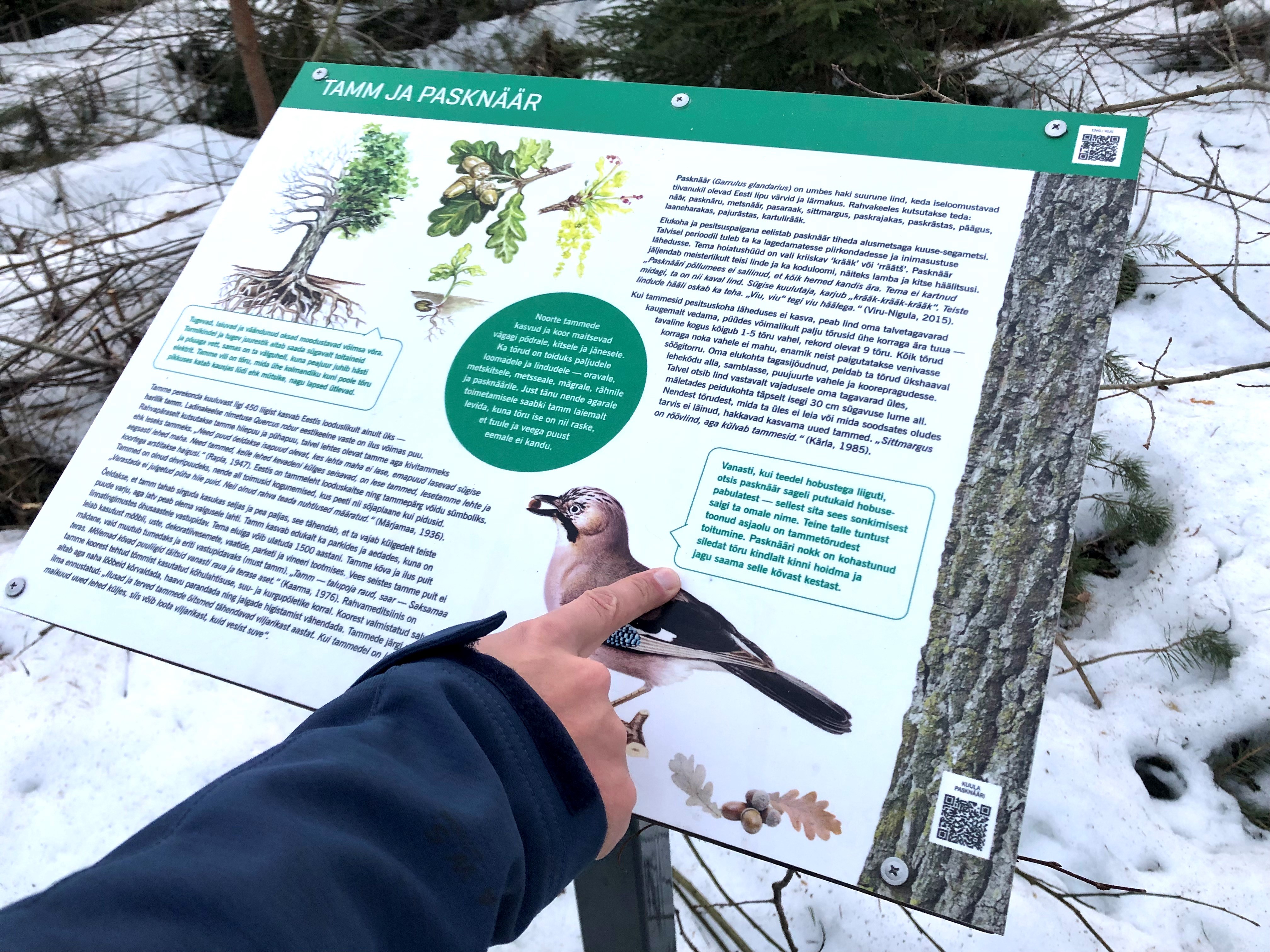
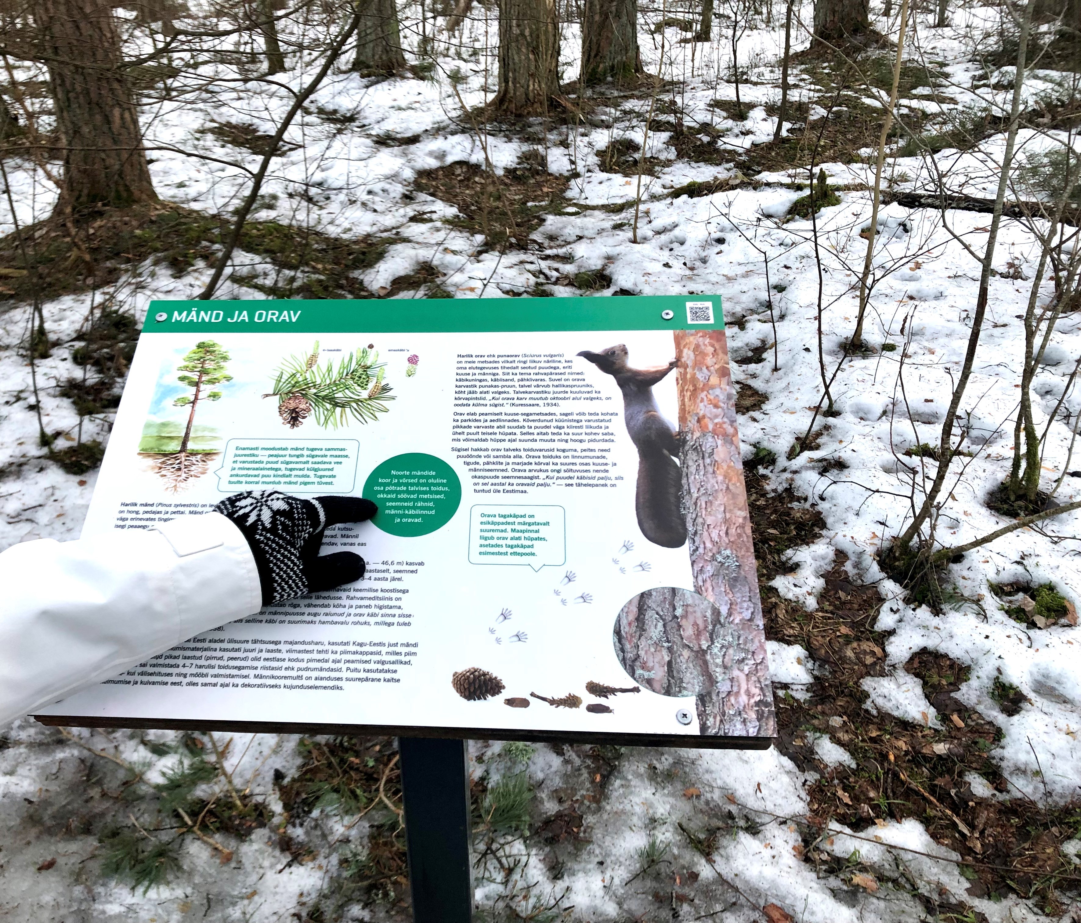
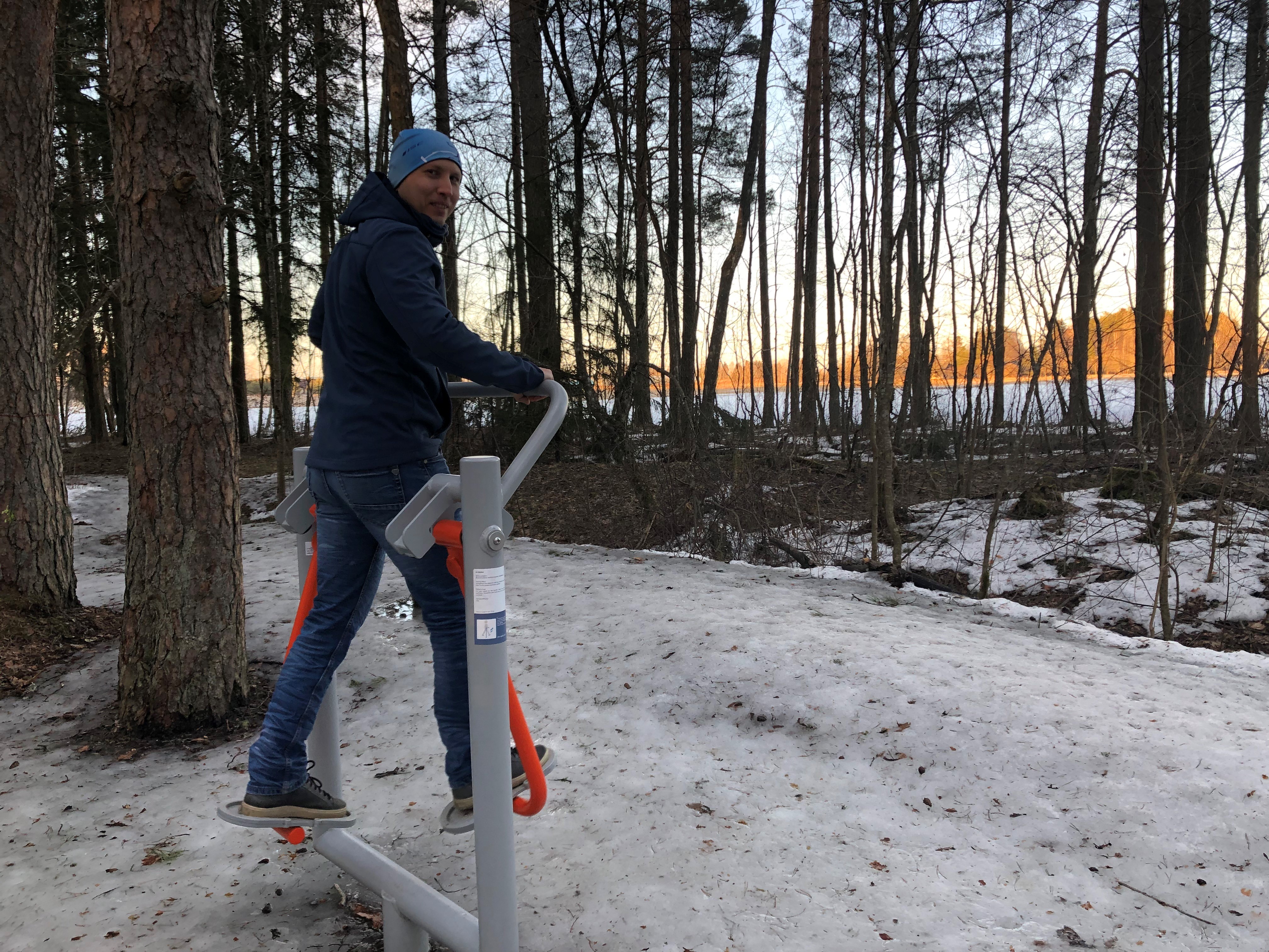
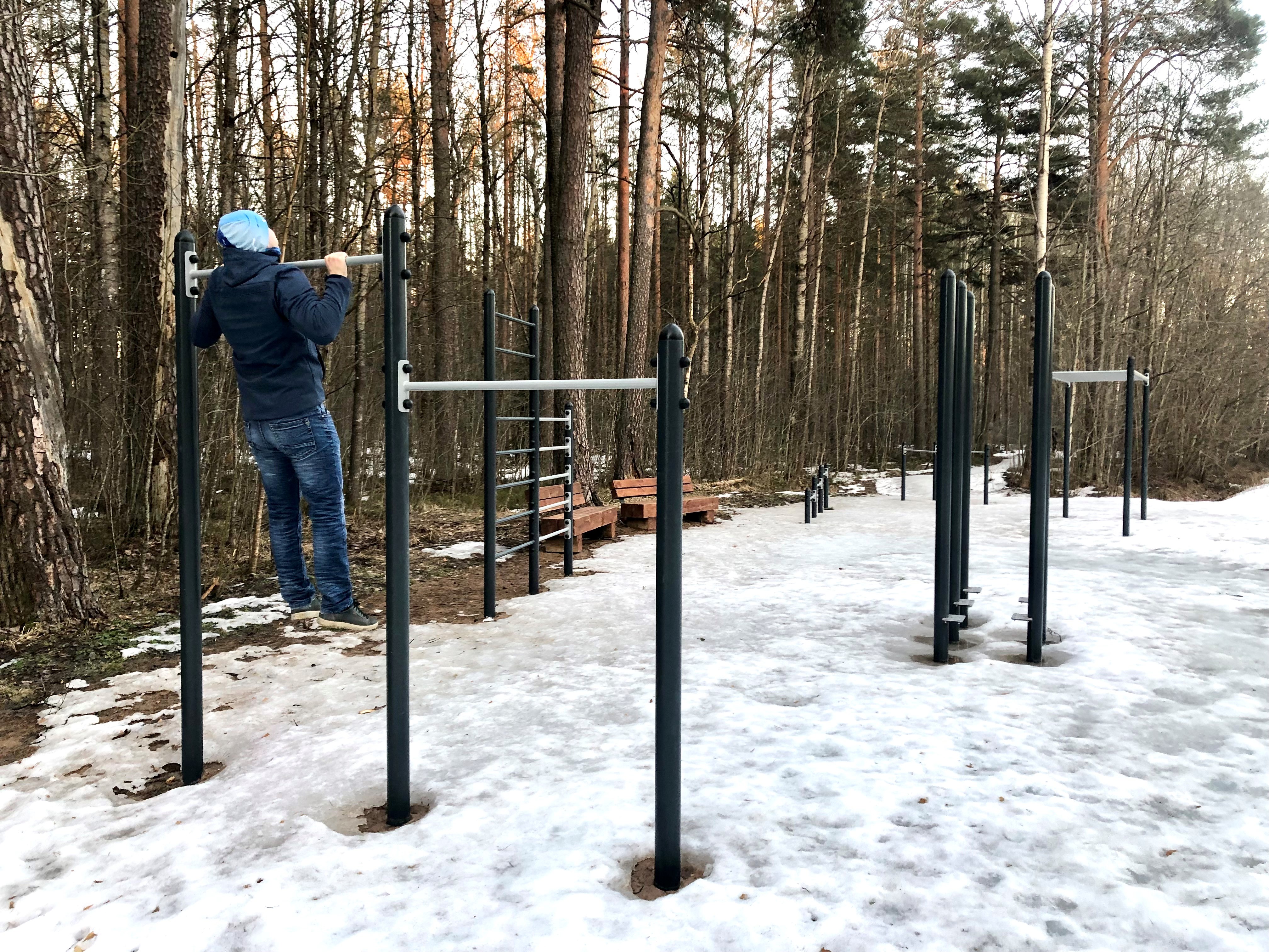
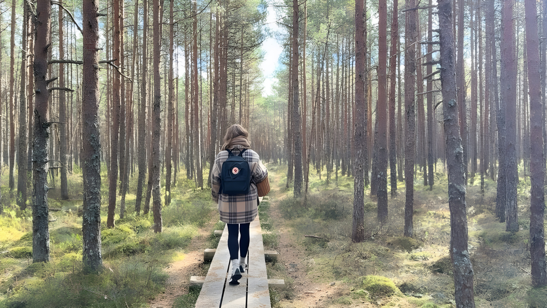
The Tiksoja hiking trails located near Tartu are suitable for families, amateur athletes and dog owners. The 1-2km circle-shaped trails start from the Tiksoja campfire site parking lot. The versatile trails run along forest paths. The 700-meter trail with compacted gravel cover you will be able to walk with a baby carriage or wheelchair. The 1-kilometre trail features activity areas for children and a fenceless area for dogs, the 2-kilometer trail features an outdoor gym. The trails are characterised by various bridges and crossings, a boardwalk and information boards located at interest points.You can rest at the Tiksoja campfire site with two roofed bench-tables and campfires with grilling griddles.
Amenities

  • Information boards
  • Free parking

Open times

Throughout the Year

Around the Clock

Contact

  • +372 676 7122
  • info.kiidjarve@rmk.ee

Links

rmk.ee

See more

  • Hiking Trails

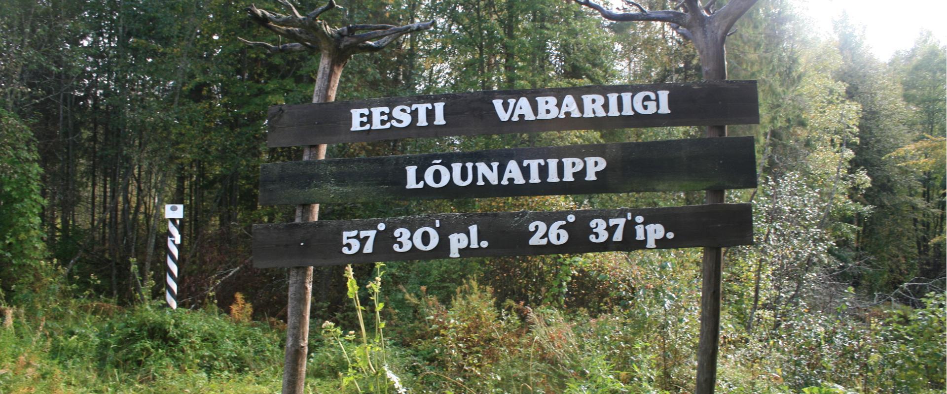
A nature study trail in the southernmost point of Estonia

Drive along the Võru-Valga highway from Saru to Kuutsi-Tiitsa-Karisöödi-Ura-Naha (about 14 km). The trail is about 4.8 km long and it takes a couple of hours to walk it through. The trail starts under the oak-tree with a perimeter of about 4 metres in Naha farm and runs very close to the state border, so make sure you take your ID with you. Interesting to know: you cannot put your foot down on the southernmost point, as the geographically correct southernmost point of Estonia is situated about 5 steps away from the marked spot, just in the middle of the Peetri River.

  • Hiking Trails

Mustjärve hiking trail

A beautiful bog lake hides in the shade of a pine forest in the northern part of the Lulli bog next to Lake Võrtsjärv. The natural lake is large (23 ha) and very shallow (there is only a metre of water here).The hiking trail starts at the information stand in the car park. Further on, the boardwalk leads directly to the water, which offers scenic views of the lake and the surrounding bog landscape. The short hiking trail (2.3 km) runs around the lake. It is impossible to get lost here, because the trail is circular and everyone finally gets back to the starting point.In the second half of the summer, cloudberries, blueberries, cranberries, and mushrooms can be picked from the surroundings.

  • Lookout towers
  • Hiking Trails

Harimägi and Harimäe Observation Tower

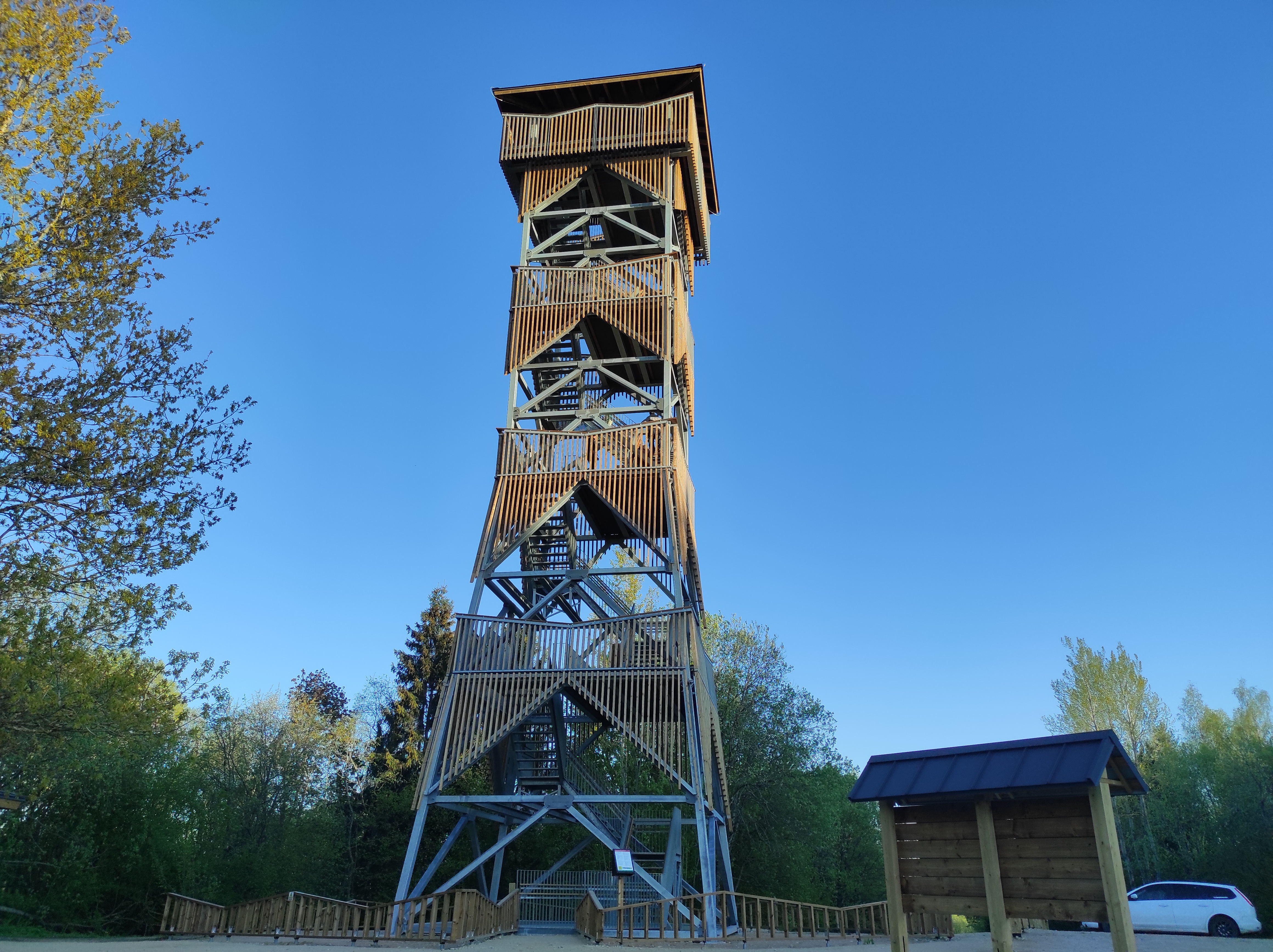
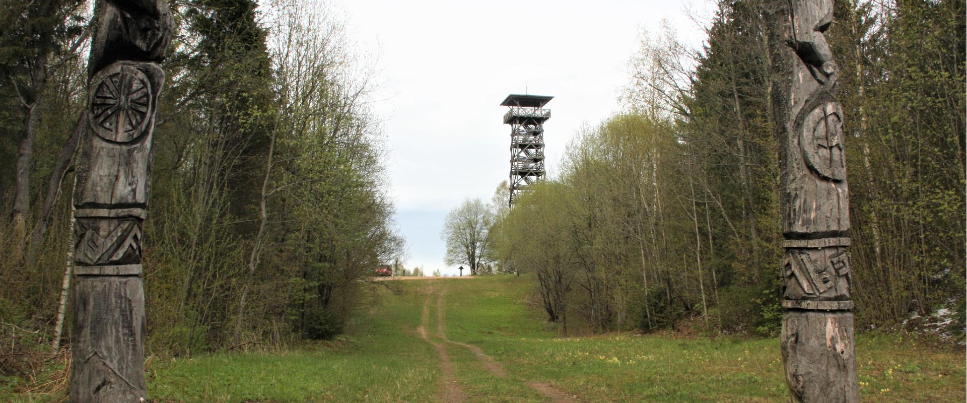
Harimägi is one of the largest mesas in the Otepää Uplands (211 m above sea level). It is worth coming to Harimäe whenever you are near Otepää. The Harimäe Observation Tower is located 3 km from Kääriku in the direction of Sangaste. The height of the tower is 28 m, and the highest viewing platform is 24 m high. The tower offers views of the Otepää mountains and across the Väike Emajõgi valley to the Karula upland. Camping is also allowed at the tower. Good to know: Harimägi is also called 'Leenard and Leonhard's hill.' From 1816 to 1819, geodetic surveys were carried out here by the internationally recognised astronomer and surveyor Friedrich Georg Wilhelm Struwe (1793–1864).

  • Lookout towers
  • Hiking Trails

Kekkonen hiking track

The Kekkonen hiking track can be used all year round – in summer for hiking, jogging and cycling and in winter for skiing. The track was named after former Finnish president Urho Kaleva Kekkonen, who visited Kääriku. The 15 km track starts from Kääriku stadium and passes through several spots of natural beauty, including Harimägi Hill – one of the highest points in the Otepää Highlands (211.3 m above sea level). Its viewing tower, which stands 26 metres high, is right next to the hiking track. Those with more energy can follow the additional 5 km loop on Harimägi Hill.

  • Camping sites
  • Hiking Trails
  • Beaches

Palumägede hiking trail and campfire site

The Palumägede hiking trail is situated near Lake Pangodi, within the picturesque Pangodi Landscape Reserve, and is an ideal destination for nature lovers seeking an active holiday experience. The hiking trail offers diverse landscapes with pleasantly alternating ups and downs, adding a little excitement to the hike. The starting point of the hiking trail is conveniently located at the second parking lot of Palumägede, where you will also find an information board that gives a good overview of the surrounding nature. Clear signposts and benches along the trail make the walk particularly comfortable. The Palumägede campfire site offers a space for grilling, swimming, and camping.

  • Hiking Trails
  • Parks

Pühajärve War Oak

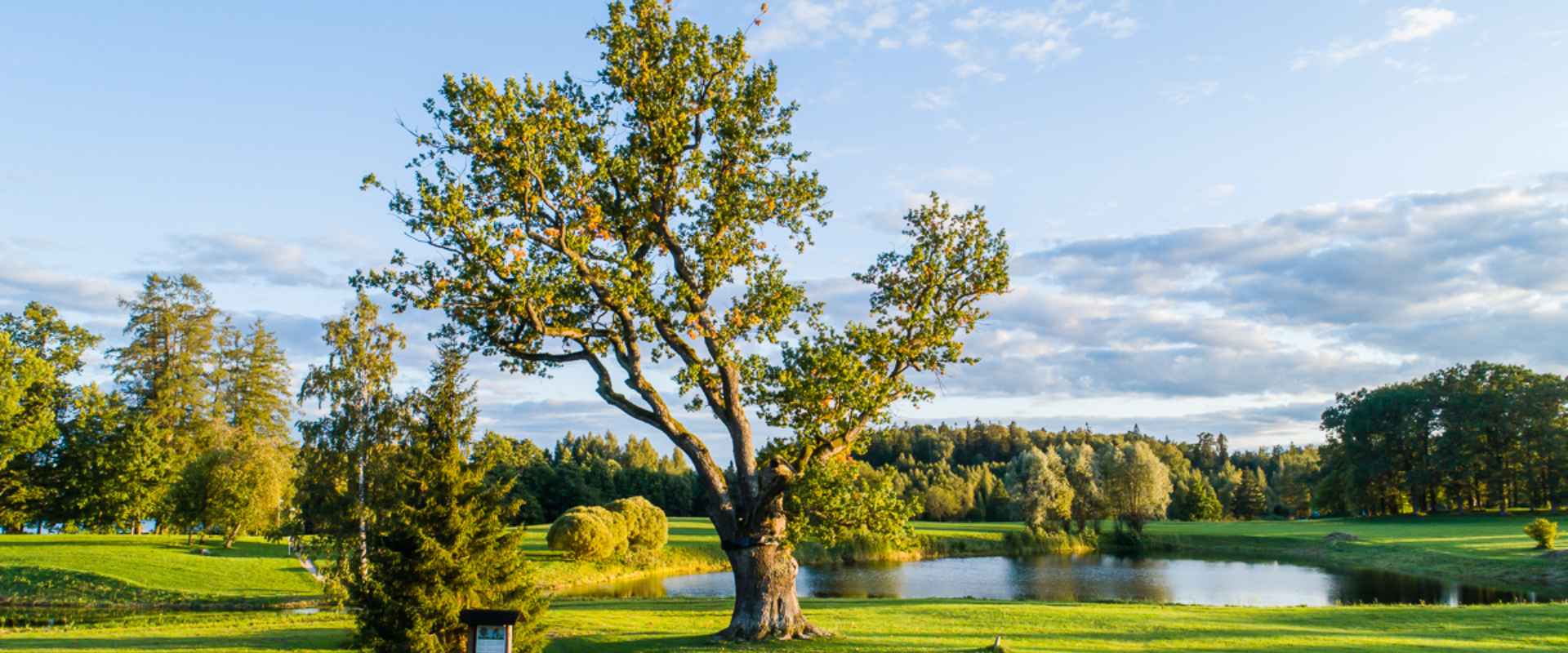
You'll need several people to measure the circumference of the ancient, nearly 400-year-old oak tree towering nearby Lake Pühajärv in Otepää! The trunk of this ancient tree has a circumference of 6.6 meters. It is called the War Oak because it has witnessed many historical events. Apparently, peasants of the Pühajärv Manor refused to work for the manor in autumn 1841 and the rebels were punished near the oak. The Pühajärve War was one of the first peasant uprisings against the landlords in Estonia, and in memory of it, an oak tree was planted nearby, where a memorial stone was erected on the 130th anniversary of the uprising. A beautiful park with walking tracks surrounds the tree today, and although the ancient tree is no longer in its full glory, it stands here to its full dignity, recalling times gone by.

  • Family friendly
  • Lookout towers
  • Hiking Trails

Ööbikuorg valley and Rõuge lakes

The Rõuge primeval valley, which is 10km long and 52m deep, contains seven lakes: Kahrila Lake, Tõugjärv, Ratasjärv, Kaussjärv, Rõuge Suurjärv, Liinjärv, and Valgjärv. The lakes are connected by the Rõuge or Ajo River, which starts from the Tindi valley. The side valleys of the Rõuge primeval valley are Tindi, Külm, Mõhk, Ööbikuorg, Tinopeetri, Hinni, Sikasoo, and Järveotsa valleys. The most famous of these is Ööbikuorg, which borders the ancient hillfort from the north. In spring, during the blossoming of bird cherry trees, the valley resonates with the song of nightingales – hence the name of the valley. Several hiking trails run through Rõuge, including the popular Ööbikuorg hiking trail, which takes visitors through the primeval valley, past lakes and springs. The trail is suitable for families with children and is partially accessible by bicycle. In summer, you can swim and paddle in the lakes, while in winter, the same trails are enjoyed by skiers and sledders. In the Rõuge settlement, there is also Estonia's deepest lake – Rõuge Suurjärv (38m) – and the largest Nature Clock in Estonia, whose hands mark the passage of time in nature's rhythm.Good to know: At the edge of Ööbikuorg, there is a visitor center and the Pesapuu observation tower, which offers a view of the entire valley.

  • Hiking Trails

Lake Verijärv nature studies trail

Lake Verijärv nature studies trail is around 1 km long and has 9 information boards showcasing plants, trees, bushes, birds and animals. The trail runs through the Lake Verijärv ancient valley and wood. There are signs along the trail as well as three barbecue areas with benches.There are various legends about Lake Verijärv. It is said that the lake got its name centuries ago when slaves were punished in the old cellar that stood on the shore and their blood turned the water red. Another legend speaks of the nasty lord of Kasaritsa Manor, who was drowned by his coachman with his carriage and horses while driving home one night.

  • Collaboration
  • News
  • Contacts
  • Privacy Policy
Join our mailing list!

"*" indicates required fields

This field is for validation purposes and should be left unchanged.
I authorise marketing

South Estonia Tourism Cluster

info@visitsouthestonia.com