• Explore
    • Nature
    • Culture
    • Food
    • Family
    • Activity
    • Blog
    Smoke sauna
    Weather and seasons
  • Plan
    • Accommodation
    • How to get here
    • Weather and seasons
    • Sustainability
    • Tourist info
    Discover South Estonia’s Most Beautiful Manors and Castles
    Top 20 Sights in South Estonia
  • For professionals
    • For professionals
    • Collaboration
    • News
    • Projects
    • Training
    • Repository
    • Community (opens in new tab)
    • Contacts
ENG
  • EnglishENG
  • EestiEST
  • LatviešuLAT
  • РусскийRUS
  • SuomiFIN
ENG
  • EnglishENG
  • EestiEST
  • LatviešuLAT
  • РусскийRUS
  • SuomiFIN
Popular searches:
Show all
  • Nature and Activities
  • Nature
  • Hiking Trails

Lake Verijärv nature studies trail

Võru vald, Võru maakond, 65541

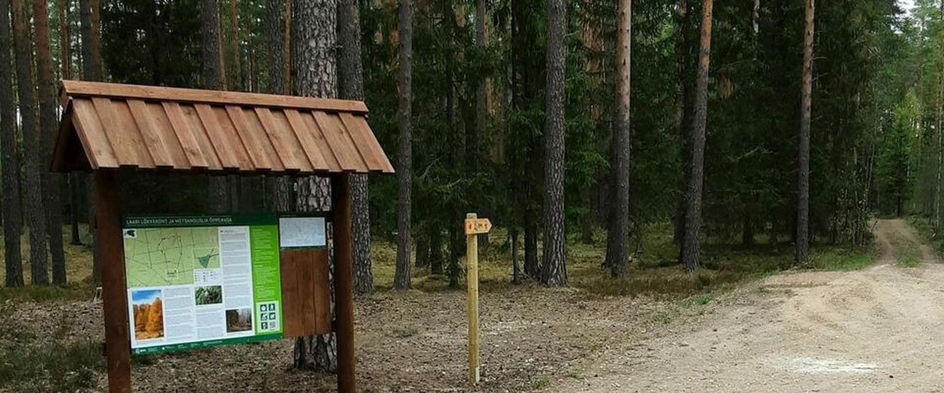
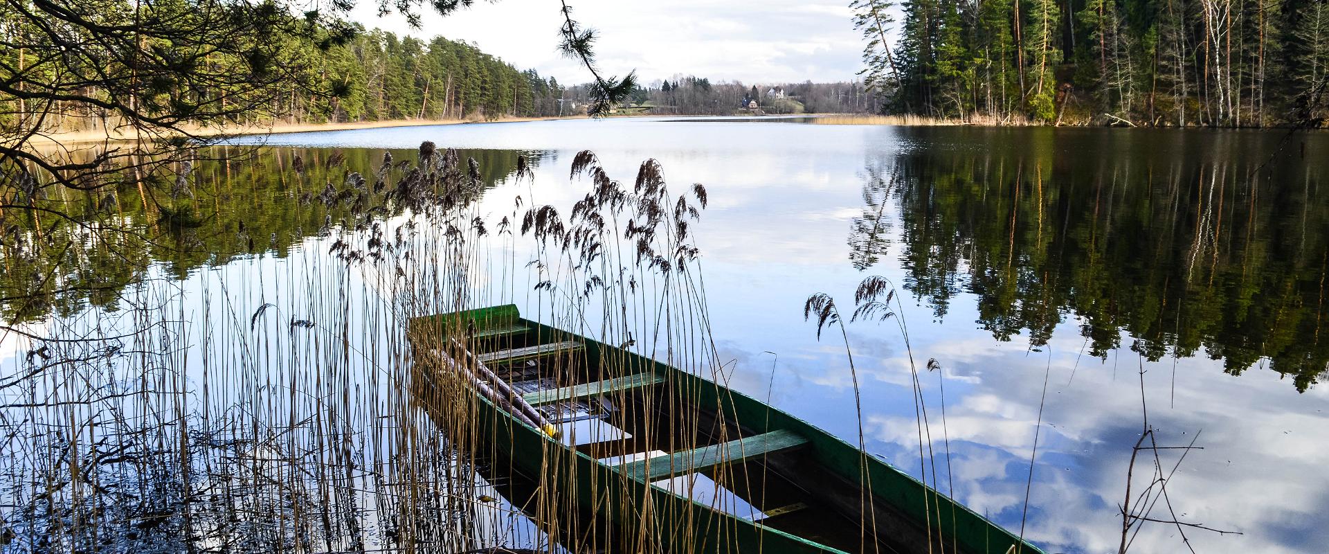
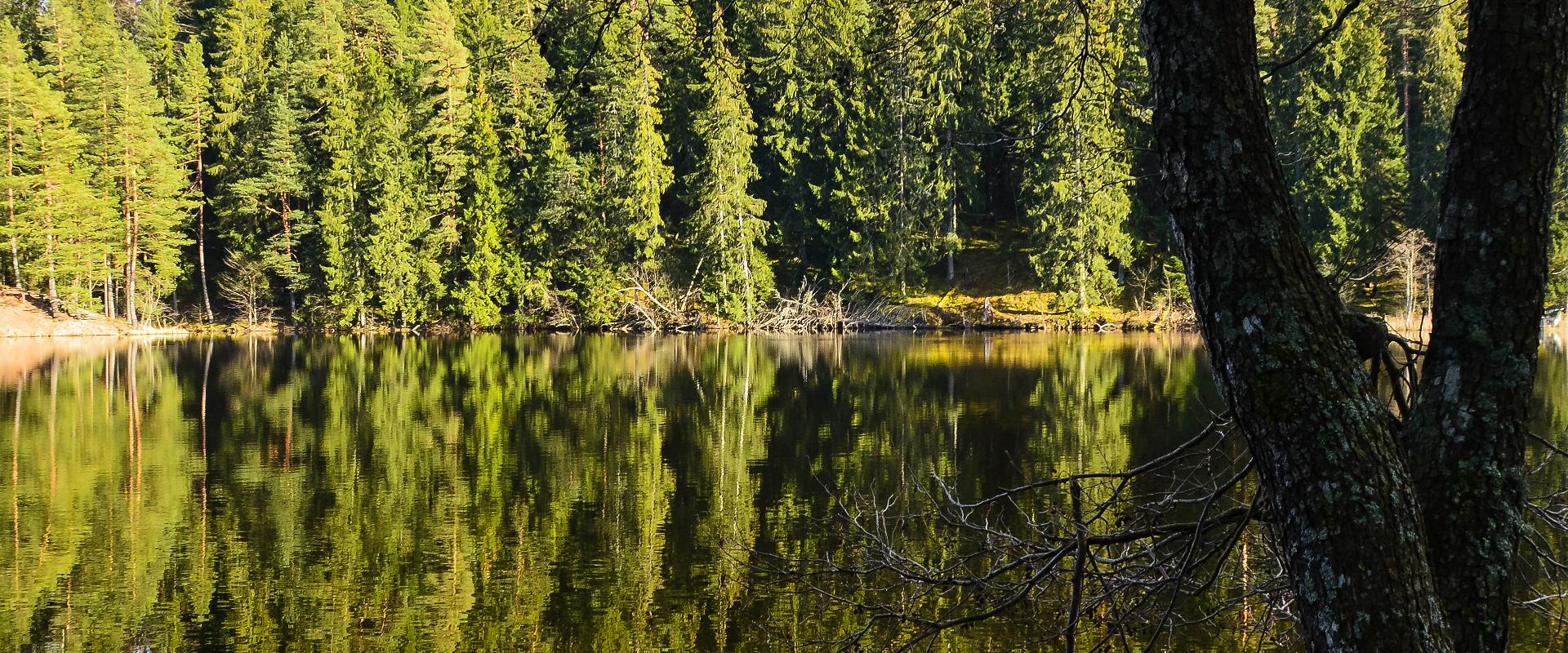
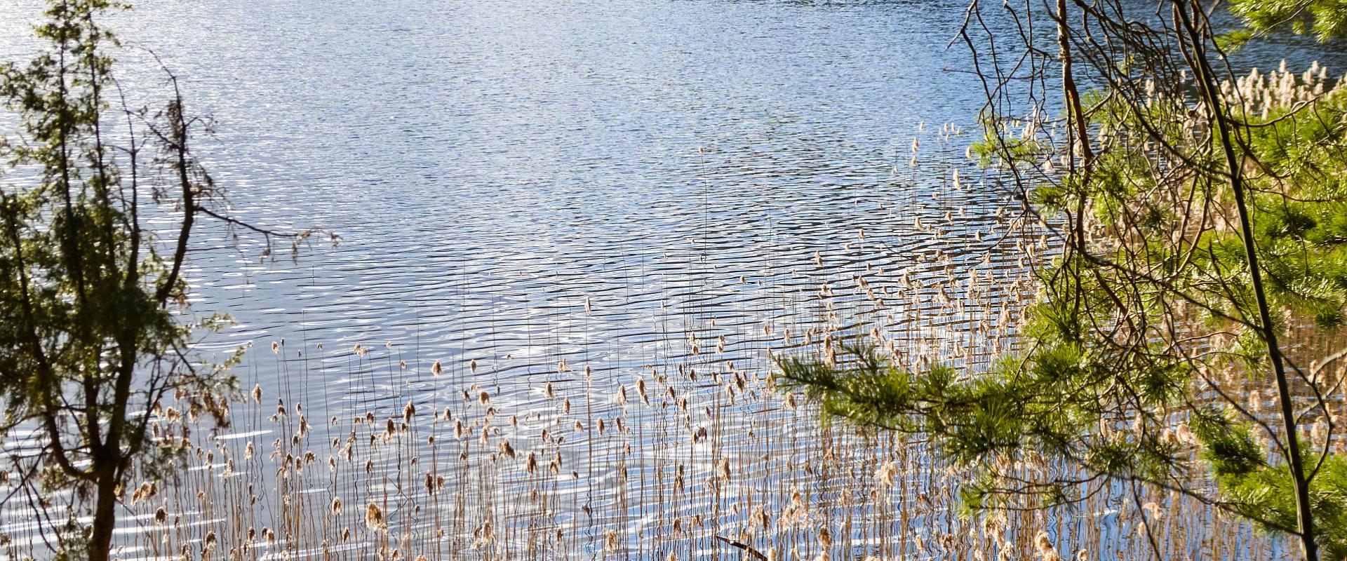
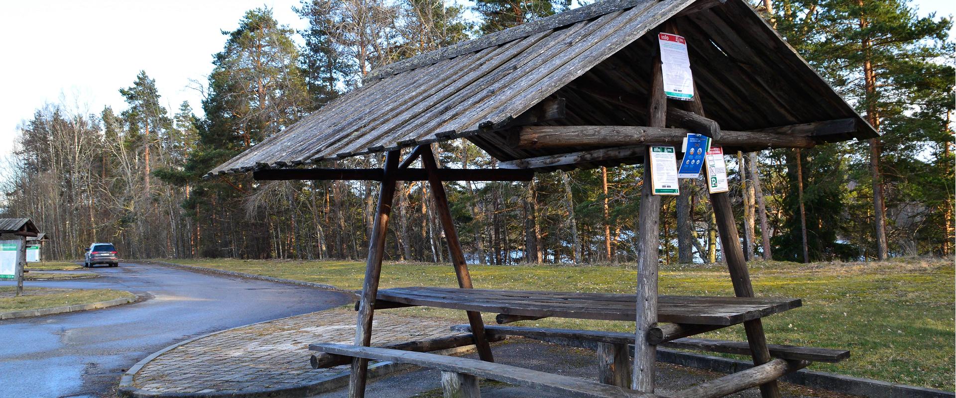
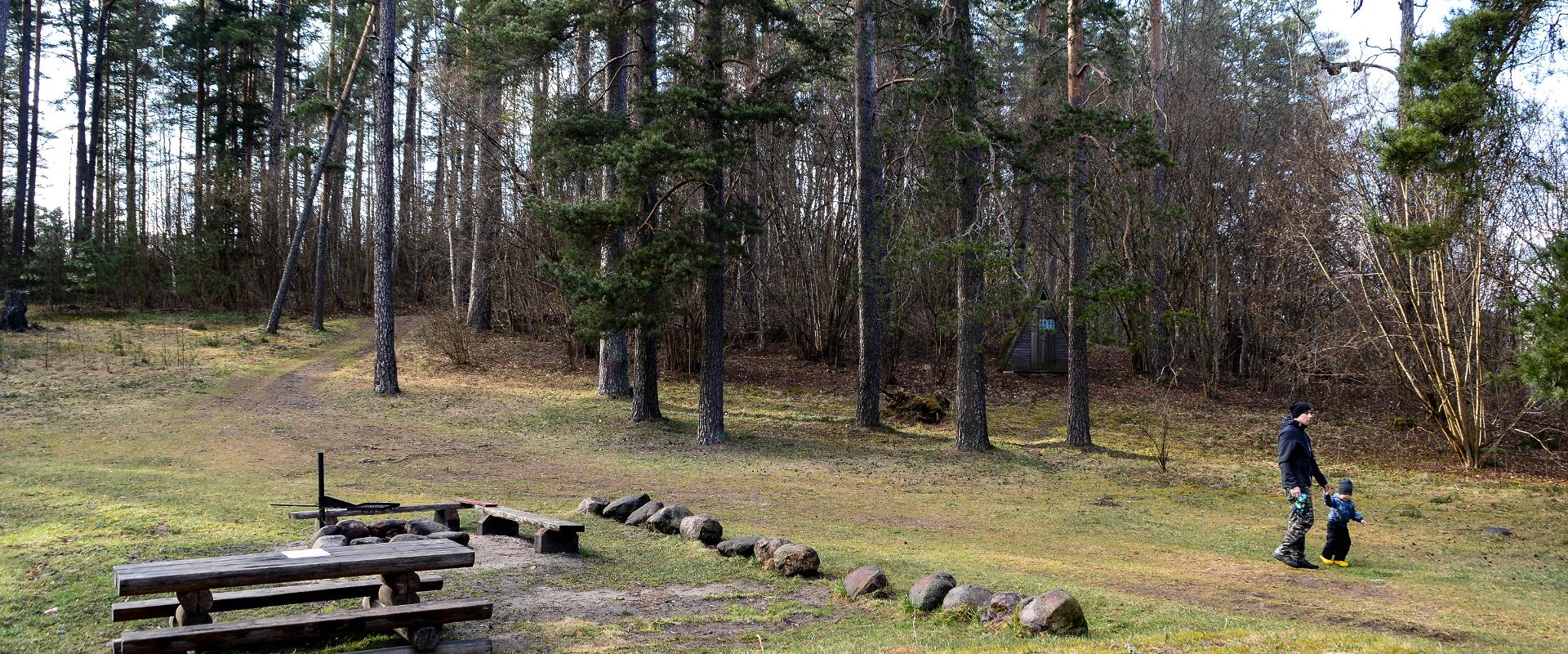
 Lake Verijärv nature studies trail is around 1 km long and has 9 information boards showcasing plants, trees, bushes, birds and animals. The trail runs through the Lake Verijärv ancient valley and wood. There are signs along the trail as well as three barbecue areas with benches.There are various legends about Lake Verijärv. It is said that the lake got its name centuries ago when slaves were punished in the old cellar that stood on the shore and their blood turned the water red. Another legend speaks of the nasty lord of Kasaritsa Manor, who was drowned by his coachman with his carriage and horses while driving home one night.
Amenities

  • Information boards
  • Drop Toilet
  • Free parking

Open times

Throughout the Year

Around the Clock

Contact

  • +372 501 9564
  • info.pahni@rmk.ee

Links

loodusegakoos.ee

See more

  • Hiking Trails

Alatskivi Hiking Trail

The 4.5 km long trail around Lake Lossijärv with its varied terrain and beautiful views offers visitors plenty of excitement and sights at any time of year.The trail starts at Alatskivi or by the Bed of Kalevipoeg. Alatskivi Castle and Castle Park, Hirveaed Garden, Sheep Bridge, Bed of Kalevipoeg, Lake Veskijärv, and Lake Lossijärv are all along the trail. There are two large information boards on the trail, log stairs in the Bed of Kalevipoeg, two bridges, signs, and small information boards that introduce the objects found in the protected area.

  • Hiking Trails

Väike Väerada hiking trail

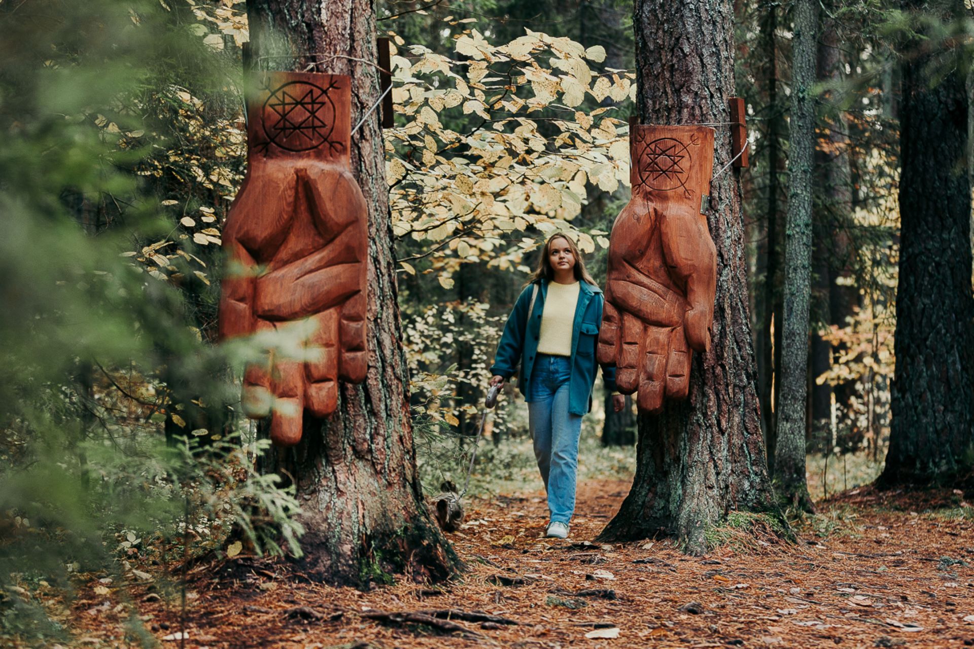
In Tartu County, near the Elva railway station, the Väike Väerada trail is one of the area's most popular hiking paths. It is special because of the wooden sculptures inspired by Estonian fairy tales and created by local artists. Small but mighty, Väerada has a healing effect on both the mind and body. The nature trail offers experiences for hikers of all ages and is suitable for exploration year-round. The attractive sculptures not only adorn the trail but also guide the correct path. The forest trail includes several resting spots and exciting attractions for children, making the journey even more enjoyable. The hiking trail ends at the Tartumaa Health Sports Center, where you can continue adventuring on other forest trails, play disc golf, or enjoy playground fun with children under the beautiful pines. Come take a walk in nature, discover fairy-tale sculptures, and let Elva Väerada offer you peace and experience in every season.

  • Parks
  • Beaches
  • Family friendly
  • Hiking Trails

Lake Pühajärv Park

Families with children are particularly welcome in the Lake Pühajärv Park as there are many opportunities to feed ducks and other birds when walking on the lakeshore. There is an exercise track by the northern part of the park. This is also the place where you will find the beach with a beach house, cafés, arbours and boat hire.The park used to be a part of the Pühajärv Manor Park and it was designed as a walking forest with paths already in the 19th century. The park is mainly a naturally grown forest.

  • Hiking Trails

Sangaste forest park trail

The 3-kilometre-long Sangaste forest park trail is located in Kiidjärve-Kooraste Recreation Area and starts from the forest park behind the Sangaste Castle.The trail introduces the forest park, founded by Count Friedrich Magnus Berg, where nearly a few hundred different species of trees and shrubs are represented. The trail has signs, stairs, bridges, and information boards that introduce the forest park and the various species of trees. There's also a campfire site on the trail with a fire pit, benches, a toilet, and a wood shed, which can also be used as a shelter.Interesting fact: Estonia's tallest, a 42-metre-tall Douglas tree grows in the park. It's possible to visit the Sangaste Castle during opening hours.

  • Hiking Trails

RMK Voorepalu Põrgurada trail

The hiking trail, which is suitable for a pleasant walk, starts on the other side of the road opposite the Voorepalu campfire site and runs along an extremely varied landscape with several steep ascents and descents. The trail has information boards introducing past events and folklore and the highest point of the trail has a table and benches for resting. Rope railings have been installed on the steep slopes of the trail.The historical Postal Road runs between the campfire site and the hiking trail. Ristimänd tree and many other exciting places are on the trail with a varied landscape. Two cars can park at the campfire site.

  • Hiking Trails

Hiking trail Green Railways Valga / Valka–Ape

The Valga/Valka–Ape narrow gauge railway was opened to traffic in 1900 and the last trains ran here in 1970.Today, most of the old railway embankment is used as a hiking trail that runs through forests and fields on gravel and dirt roads.On the Valka–Žuldin and Koikküla–Hargla section, the trail is redirected to larger roads, because the former railway dam is mostly impassable there.Many old railway photographs and historical stories related to the railway have been attached to the old sleepers on the railway dam.There is a resting place in Hargla.

  • Hiking Trails

Padakõrve Hiking Trail

The hiking trail runs along a gravel road in a forest and introduces the life of ants. There are information boards next to the gravel road, as well as signposts near the ant colonies. The trail can also be explored in a vehicle. The 3.6 km trail starts at the information board at the roadside.The hiking trail is located in Padakõrve Nature Reserve. Its most important values include one of the largest populations of Scottish wood ants, diverse forest communities, and a multifaceted landscape. The purpose of the protected area is to protect the Scottish wood ants, as well as other protected species and their habitats, the forest communities, and the Kärgandi kame field.

  • Hiking Trails

Pullijärve hiking trail

Located next to the community of Misso, Pullijärv is a nice place to spend some time. If you don't feel like swimming, you can hike around the lake: the 3.6-kilometer-long trail is just the right length for the whole family. The trail rises here and there too: boys used to do ski jumps from its highest point onto the lake in winter.The trail begins and ends at the RMK Pullijärv rental hut, which is located on the north shore of the lake. In spring and fall, the trail can be really wet.

  • Collaboration
  • News
  • Contacts
  • Privacy Policy
Join our mailing list!

"*" indicates required fields

This field is for validation purposes and should be left unchanged.
I authorise marketing

South Estonia Tourism Cluster

info@visitsouthestonia.com