• Explore
    • Nature
    • Culture
    • Food
    • Family
    • Activity
    • Blog
    Smoke sauna
    Weather and seasons
  • Plan
    • Accommodation
    • How to get here
    • Weather and seasons
    • Sustainability
    • Tourist info
    Discover South Estonia’s Most Beautiful Manors and Castles
    Top 20 Sights in South Estonia
  • For professionals
    • For professionals
    • Collaboration
    • News
    • Projects
    • Training
    • Repository
    • Community (opens in new tab)
    • Contacts
ENG
  • EnglishENG
  • EestiEST
  • LatviešuLAT
  • РусскийRUS
  • SuomiFIN
ENG
  • EnglishENG
  • EestiEST
  • LatviešuLAT
  • РусскийRUS
  • SuomiFIN
Popular searches:
Show all
  • Nature and Activities
  • Nature
  • Hiking Trails

Laari Forestry Study Trail

Kiidjärve metskond 39, Põlva vald, Põlva maakond, 63604

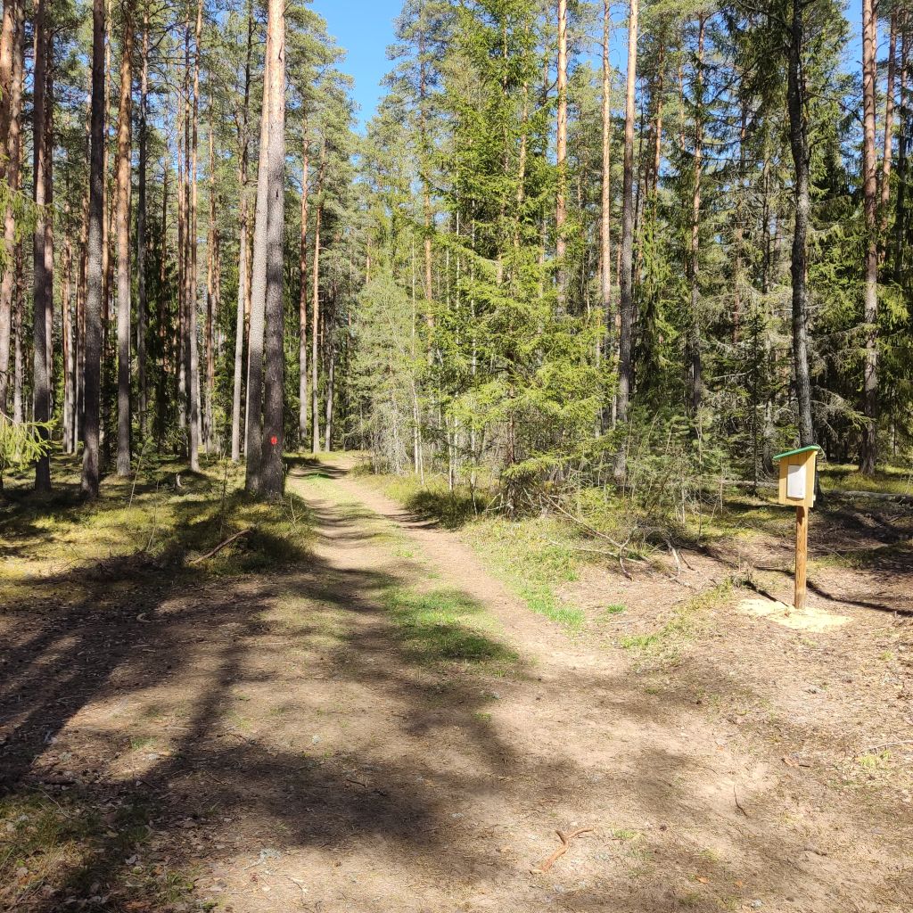
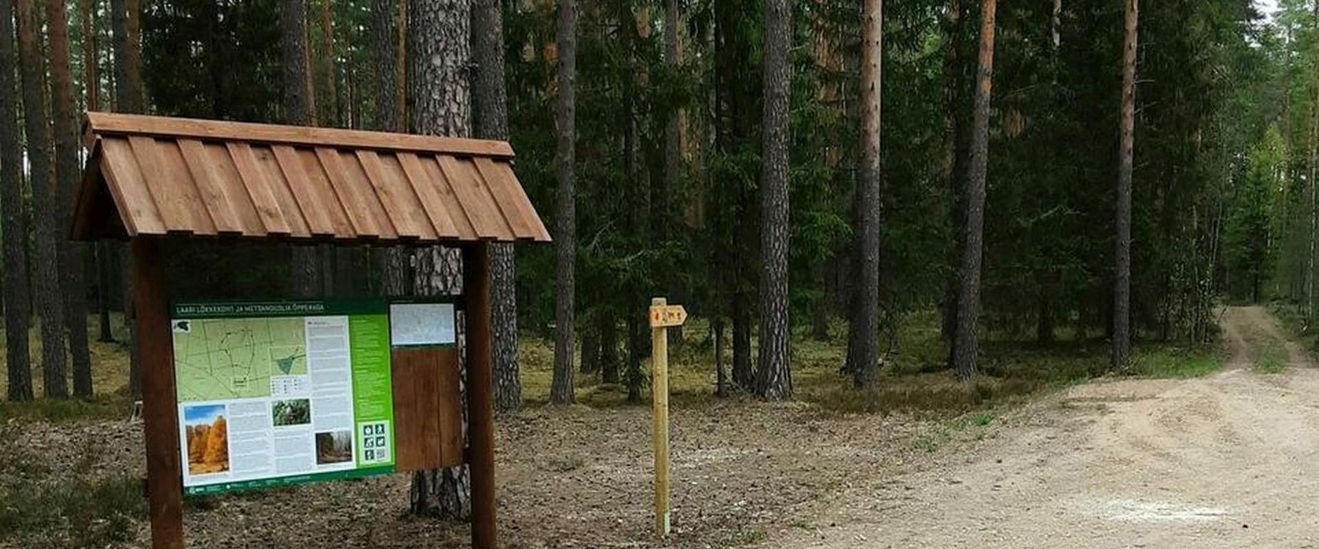
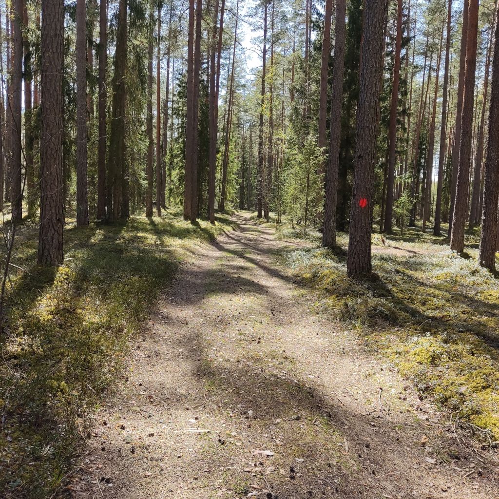
The 3-km-long circular forestry study trail, starting at Laari campfire site, is suitable for a peaceful walk for holidaymakers at the campfire site, nature lovers, and hikers with pets.The trail is very diverse – it runs along the paths and trails of the bright pine forest, the mysterious pine forest, and the eye-catching birch forest, over the Lambiniidu and a ditch, over which wooden bridges have been built.The trail is marked with signs and red dots on trees, the information boards on the trail introduce the surrounding nature and the different ways of forest management.

Amenities

  • Information boards
  • Free parking

Open times

1. jaan - 31. dets

Around the Clock

Contact

  • +372 676 7122
  • info.kiidjarve@rmk.ee

Links

See more

  • Hiking Trails

Pikalombi nature trails

The trails have two possible starting points: in the parking lot of the Värska Sanatoorium or in the point on the side of Värska Sanatoorium across Värska Bay. The Pikalombi nature trails are 3.8 and 9.1 km long. The nature trails can be passed in autumn, spring and winter and on foot as well as by bicycle. On the boarded trail through the Velna bog the bicycle shall be pushed by hand. Good to know: There are 11 trail points along the trail. Point no. 6 lies by beautiful Lake Saarepää, offering an opportunity to make a fire and to have a longer break.

  • Hiking Trails

Elistvere study trail

Elistvere study trail is located in Elistvere village, Tartu County. The trail is 2 km long back and forth and starts at the Elistvere Animal Park. At the end of the study trail you will find the magical Lake Elistvere with an observation tower offering a great view to the flora surrounding the lake and animals running in the bushy greenery. The information boards at the road help the visitors and there are several observation platforms. The trail can be completed in a wheelchair and with a children's stroller as well.The study trail can be accessed only during the opening hours of the animal park. The animal park has an entrance fee.

  • Family friendly
  • Lookout towers
  • Hiking Trails

Ööbikuorg valley and Rõuge lakes

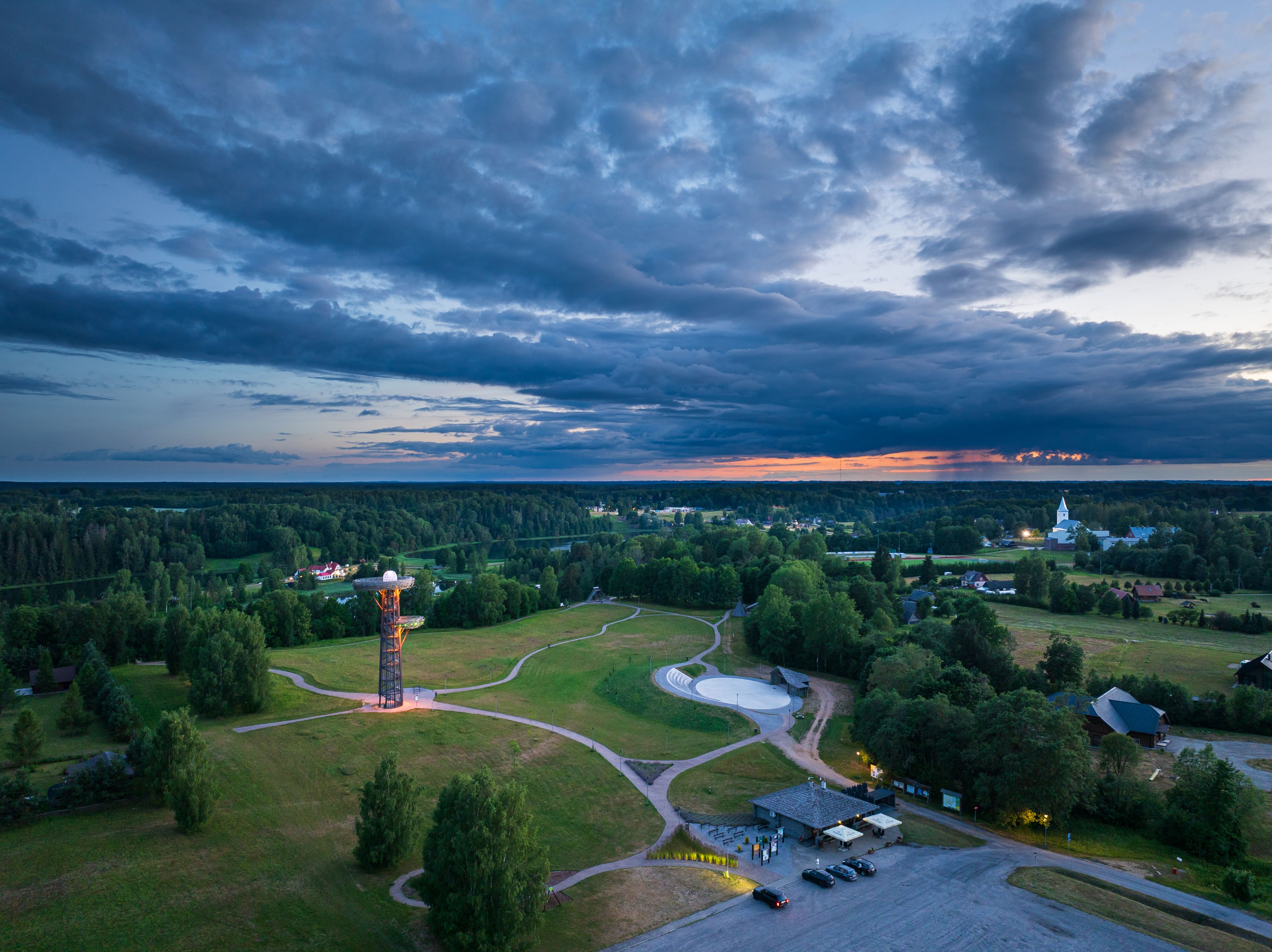
The Rõuge primeval valley, which is 10km long and 52m deep, contains seven lakes: Kahrila Lake, Tõugjärv, Ratasjärv, Kaussjärv, Rõuge Suurjärv, Liinjärv, and Valgjärv. The lakes are connected by the Rõuge or Ajo River, which starts from the Tindi valley. The side valleys of the Rõuge primeval valley are Tindi, Külm, Mõhk, Ööbikuorg, Tinopeetri, Hinni, Sikasoo, and Järveotsa valleys. The most famous of these is Ööbikuorg, which borders the ancient hillfort from the north. In spring, during the blossoming of bird cherry trees, the valley resonates with the song of nightingales – hence the name of the valley. Several hiking trails run through Rõuge, including the popular Ööbikuorg hiking trail, which takes visitors through the primeval valley, past lakes and springs. The trail is suitable for families with children and is partially accessible by bicycle. In summer, you can swim and paddle in the lakes, while in winter, the same trails are enjoyed by skiers and sledders. In the Rõuge settlement, there is also Estonia's deepest lake – Rõuge Suurjärv (38m) – and the largest Nature Clock in Estonia, whose hands mark the passage of time in nature's rhythm.Good to know: At the edge of Ööbikuorg, there is a visitor center and the Pesapuu observation tower, which offers a view of the entire valley.
  • Hiking Trails

Selli-Sillaotsa study trail

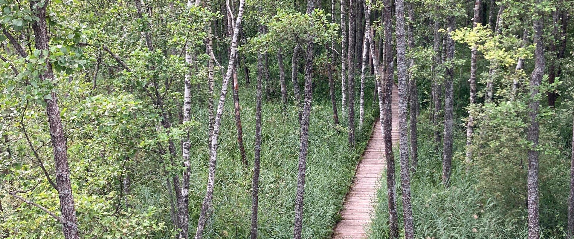
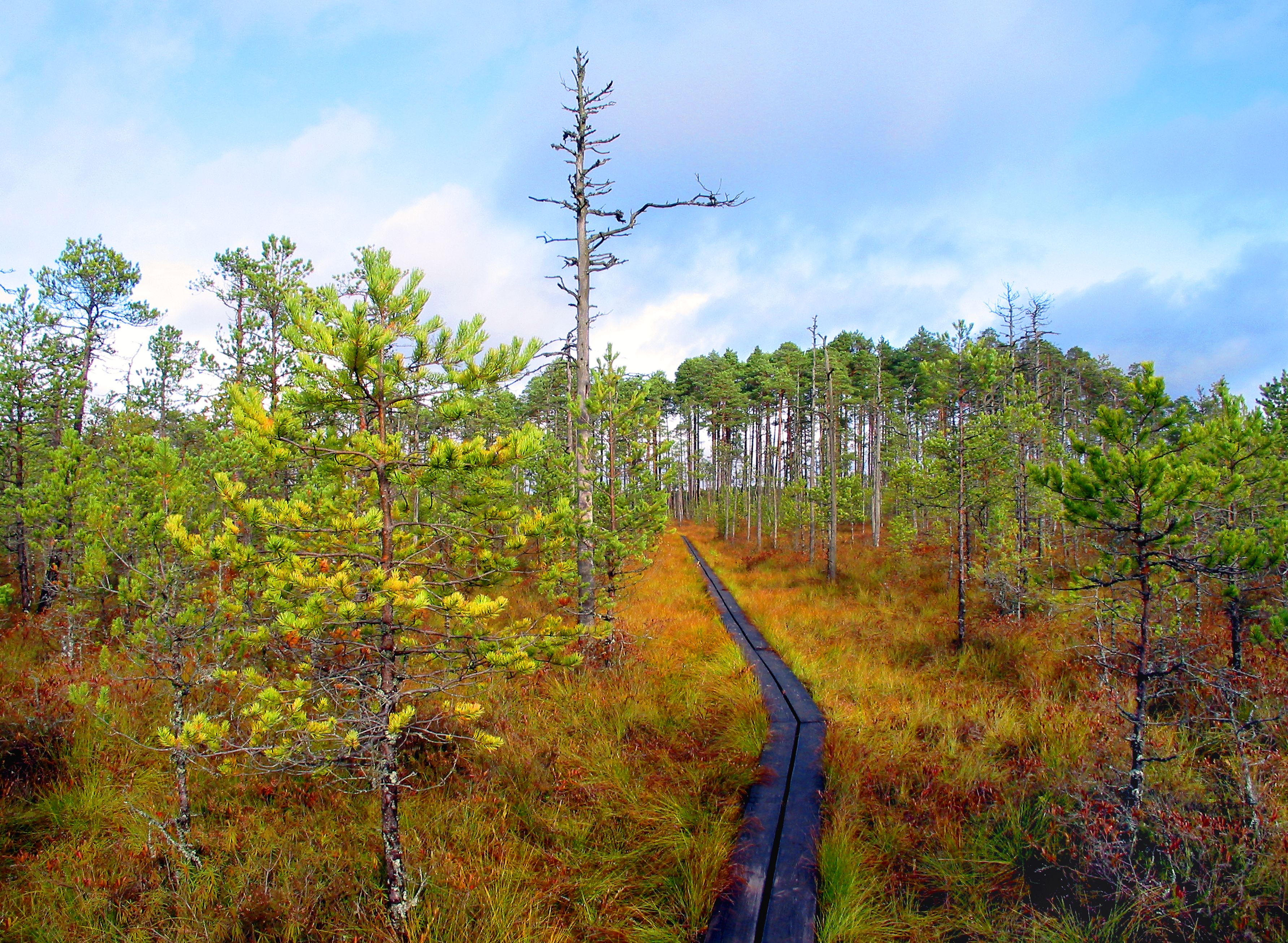
If you want a break from the hustle and bustle of the city, head to the beautiful, untouched nature of the Selli-Sillaotsa educational trail. Trail is located in the Alam-Pedja nature reserve, 30 minutes by car from Tartu. The well-marked trail, winding over a bog, through the forest, and on a gravel road, with plenty of information boards, is flat and easy to navigate. From the 12 m high Suuretüki observation tower built of massive logs, you can enjoy beautiful views of the bog in any season! If you find yourself on the trail at the right time of year, you can treat yourself to edible berries, such as blueberries, blackberries, and cranberries.

  • Hiking Trails
  • Parks
  • Beaches

Lake Pühajärv

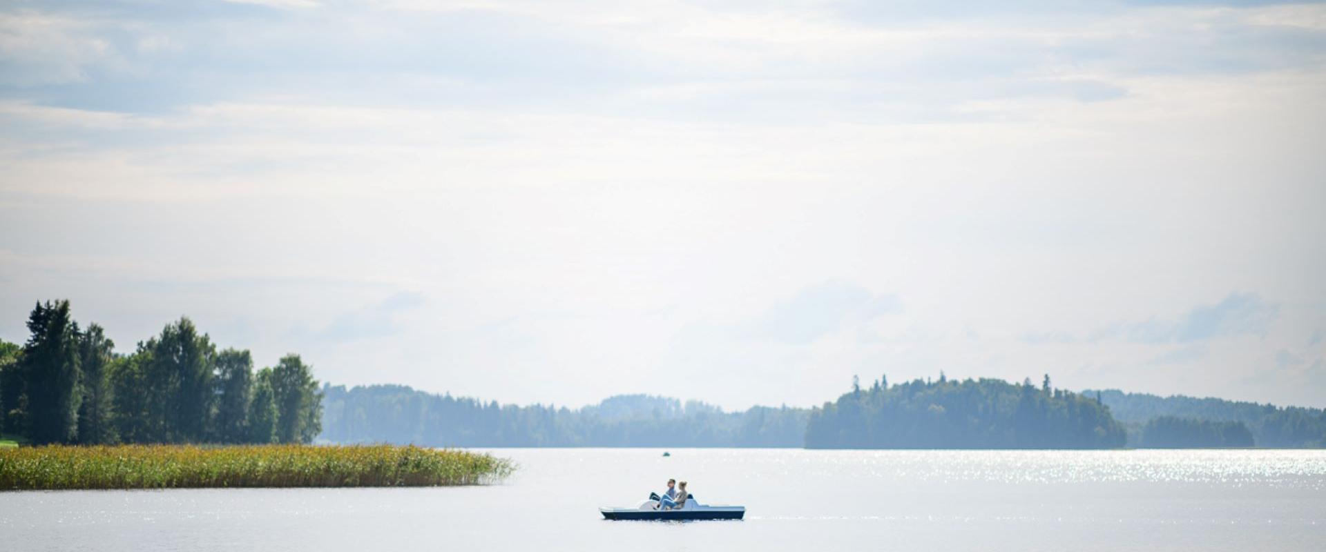
Pühajärv, with its picturesque winding shoreline and four islands, is the largest lake in Otepää Nature Park. At the northern tip of Pühajärv, there is a beach area with a beach house, ball courts, a children's playground, recreation areas, a café, and a boat harbor. At the southern tip is the Kooliranna recreation area, and from there begins the Väike Emajõgi, which meanders through Valgamaa. Pühajärve Park is the starting point for the Murrumetsa hiking trail, and around the lake runs the 12 km long Pühajärve hiking trail, which passes by the lake's most famous spring, the Armuallikas. In winter, when weather conditions are suitable, an ice trail is created on the lake for hiking, and a winter swimming area is open at Pühajärve Beach.Pühajärv has provided plenty of inspiration for writers and artists. For example, Fridebert Tuglas and Eino Leino have vacationed here. Information about Konrad Mägi's Pühajärv paintings can be found on an info board by the lakeshore near the GMP Pühajärve restaurant. In 1991, the Dalai Lama, Tenzin Gyatso, visited Otepää and blessed the lake, an event commemorated by a wooden sculpture on the shore of Pühajärve Park.

  • Camping sites
  • Hiking Trails

Soontaga hiking trail

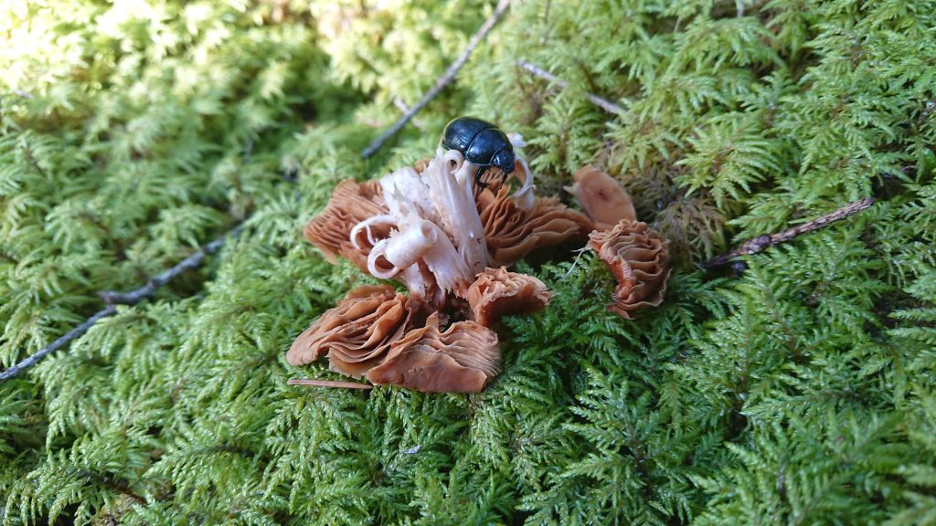
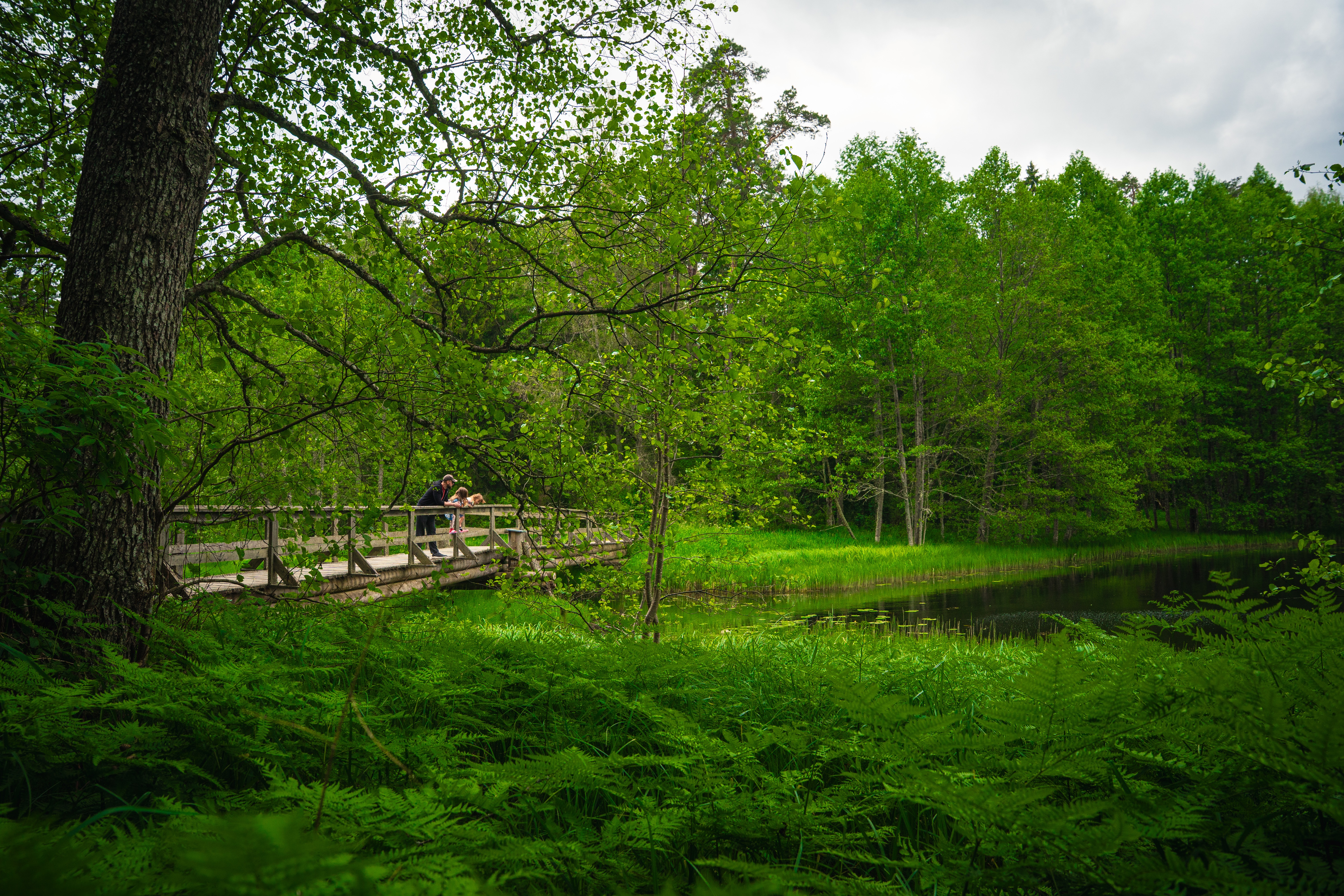
The Soontaga hiking trail is located at Kiidjärve-Kooraste recreation area. The hiking trail runs along the typical Southern Estonian mixed forests and arrives at the Väike-Emajõgi river. The hiking trail, which can be completed on foot, runs in a circle.There are several information boards at the hiking trail, which describe the nature of the area. The beautiful bodies of water at the hiking trail are equipped with bridges. In addition to the hiking trail there is the Soontaga campsite with campfire places at the recreation area.If you visit the hiking trail during the season, you might find forest berries or mushrooms on our journey.

  • Camping sites
  • Family friendly
  • Hiking Trails
  • Beaches

Lake Pangodi and lakeside camping area

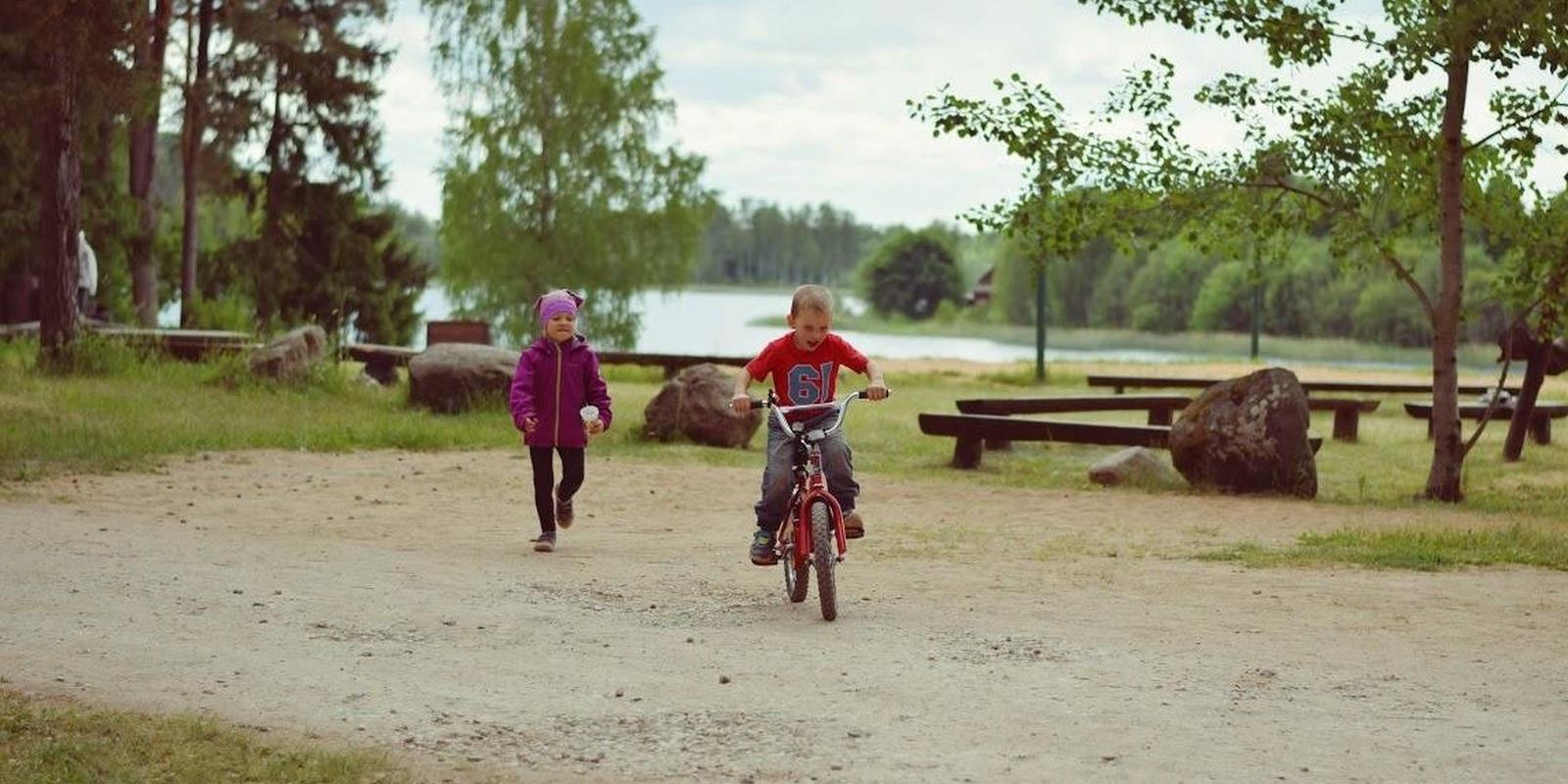
The recreation area by Lake Pangodi is a popular holiday destination, offering a variety of opportunities to enjoy nature. In the holiday complex, you can swim, camp, and make a campfire. The large lawn by the sandy beach has a children's playground with active holiday elements and a volleyball court. At the beginning of the recreation area, there is a parking lot that can accommodate up to 30 cars. The Pangodi camping area is by the lake, where you can find three campfire sites with canopies and benches. Along the Pikksaare hiking trail (1 km) starting from the car park, you will reach the Pangodi campfire site, which is about 500 m from the crowded camping area in the Pangodi park forest. Be respectful to nature!

  • Hiking Trails

A nature study trail in the southernmost point of Estonia

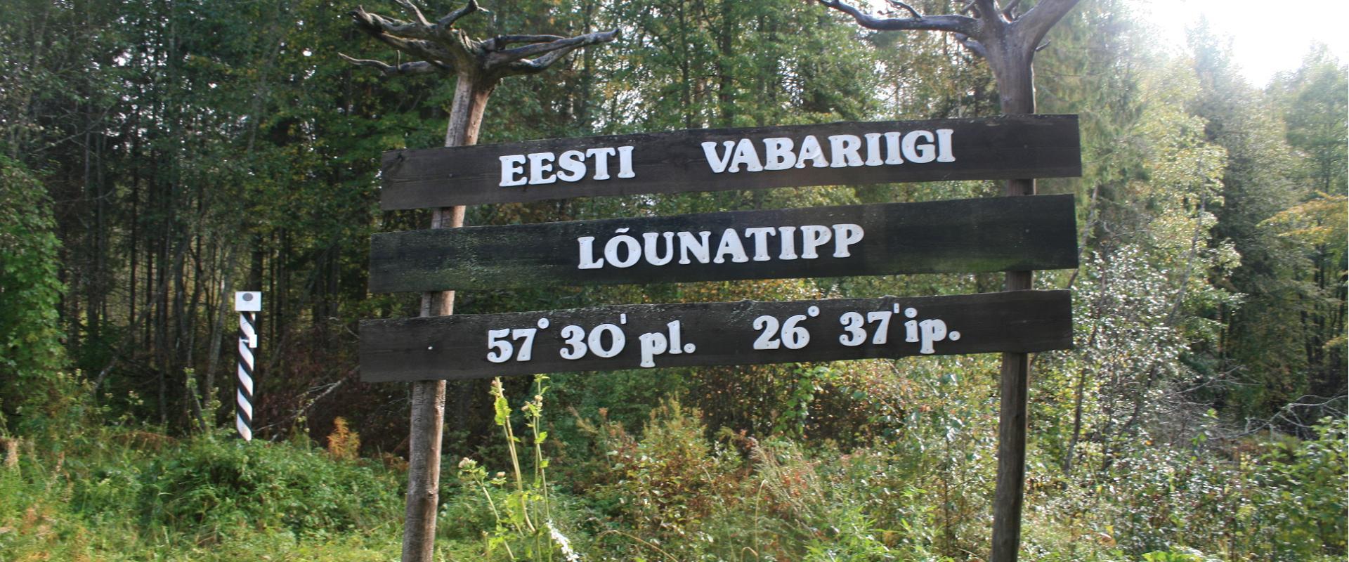
Drive along the Võru-Valga highway from Saru to Kuutsi-Tiitsa-Karisöödi-Ura-Naha (about 14 km). The trail is about 4.8 km long and it takes a couple of hours to walk it through. The trail starts under the oak-tree with a perimeter of about 4 metres in Naha farm and runs very close to the state border, so make sure you take your ID with you. Interesting to know: you cannot put your foot down on the southernmost point, as the geographically correct southernmost point of Estonia is situated about 5 steps away from the marked spot, just in the middle of the Peetri River.

  • Collaboration
  • News
  • Contacts
  • Privacy Policy
Join our mailing list!

"*" indicates required fields

This field is for validation purposes and should be left unchanged.
I authorise marketing

South Estonia Tourism Cluster

info@visitsouthestonia.com