• Открой
    • Еда
    • Природа
    • Культура
    • Семья
    • Спорт
    • Сообщество
    • Блог
    У Вас появились свободные выходные, чтобы провести с детьми? Здесь собраны лучшие места в Южной Эстонии для семейного отдыха
  • Планируй
    • Размещение
    • Информация
    • Varamu
    Sustainability
RUS
  • РусскийRUS
  • EestiEST
  • EnglishENG
  • LatviešuLAT
  • SuomiFIN
RUS
  • РусскийRUS
  • EestiEST
  • EnglishENG
  • LatviešuLAT
  • SuomiFIN
Populaarsed otsingud:
Näita kõiki tulemusi
  • Nature
  • Nature and Activities
  • Hiking Trails

Laari Forestry Study Trail

Kiidjärve metskond 39, Põlva vald, Põlva maakond, 63604

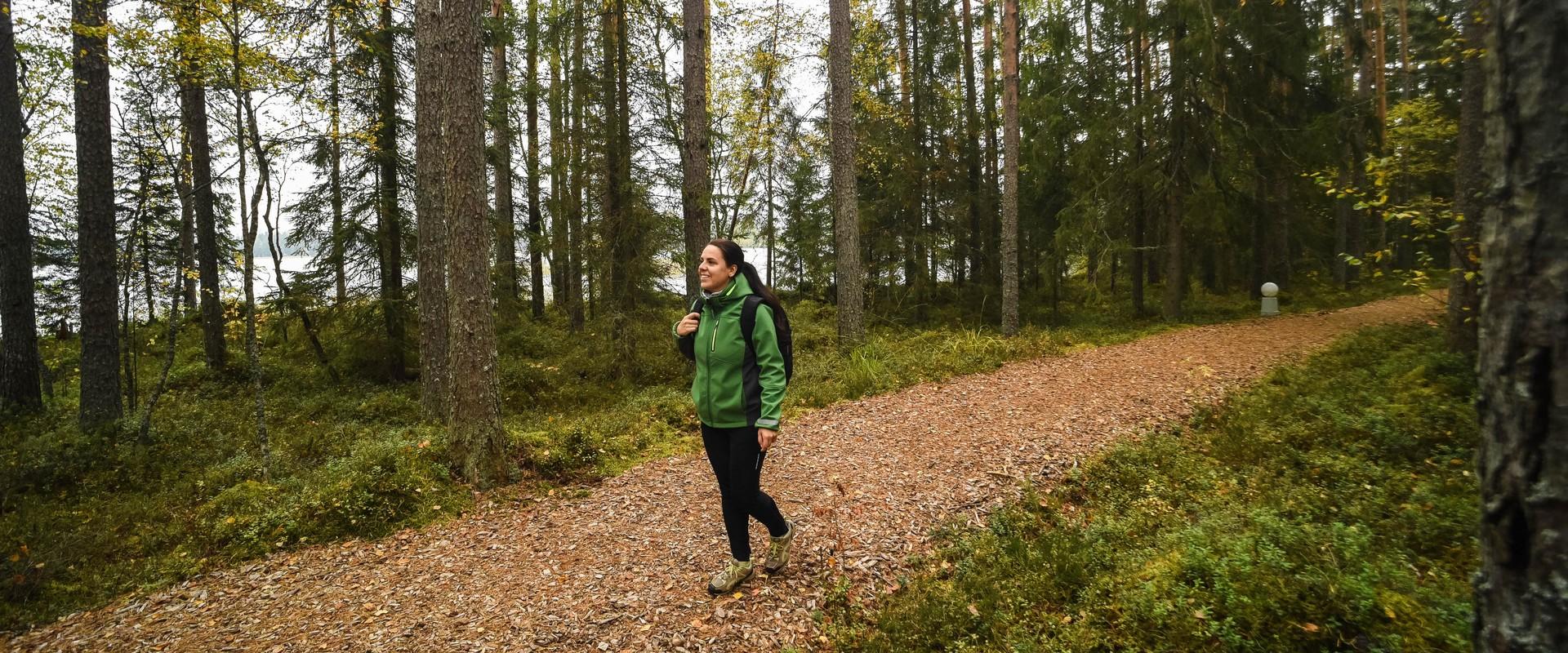
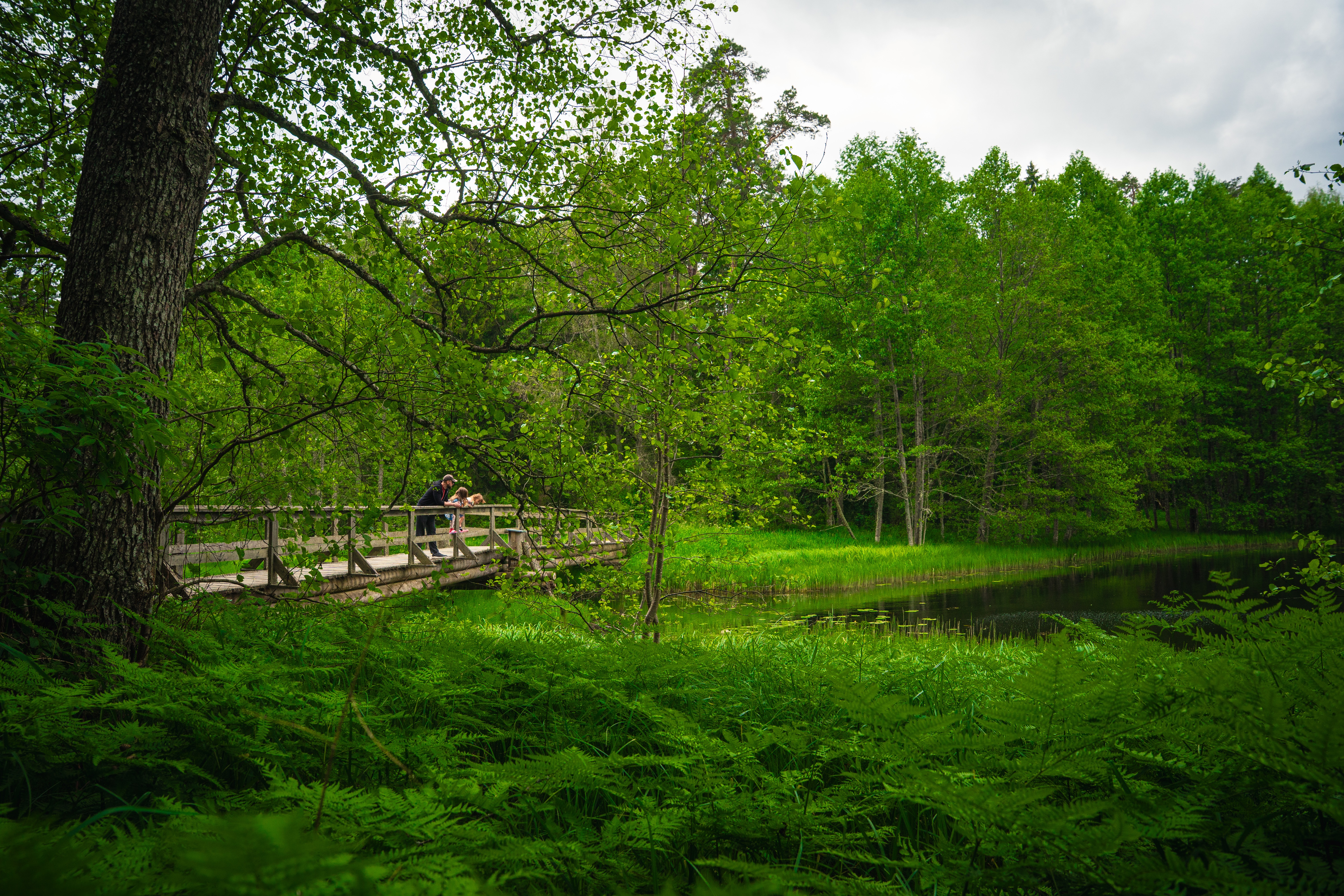
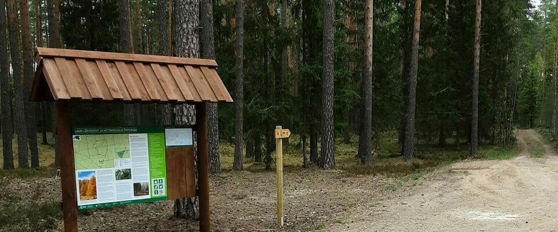
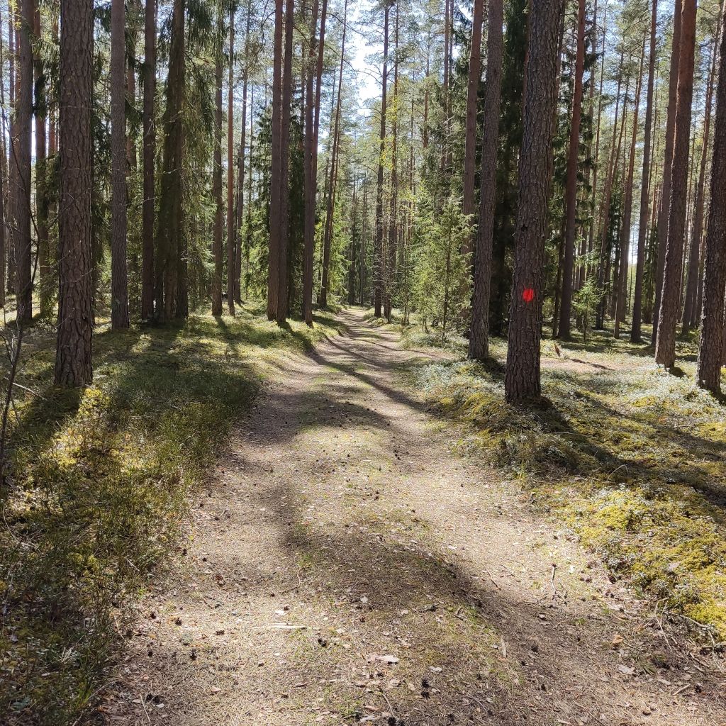
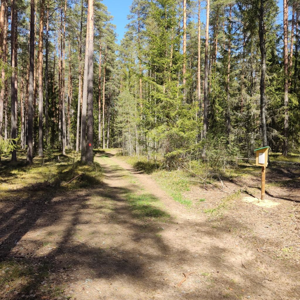
The 3-km-long circular forestry study trail, starting at Laari campfire site, is suitable for a peaceful walk for holidaymakers at the campfire site, nature lovers, and hikers with pets.The trail is very diverse — it runs along the paths and trails of the bright pine forest, the mysterious pine forest, and the eye-catching birch forest, over the Lambiniidu and a ditch, over which wooden bridges have been built.The trail is marked with signs and red dots on trees, the information boards on the trail introduce the surrounding nature and the different ways of forest management.
Mugavused

  • Information boards
  • Free parking

Часы работы

1. jaan - 31. dets

Ööpäevaringselt

Контакты

  • +372 676 7122
  • info.kiidjarve@rmk.ee

Ссылки

Подробнее

  • Birdwatching
  • Hiking Trails

Tamme Outcrop hiking track

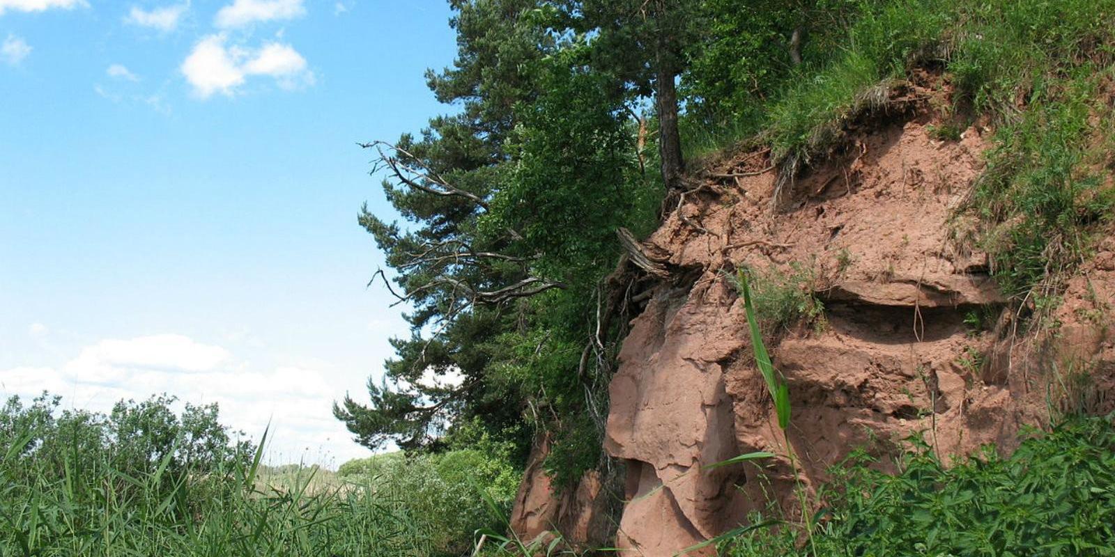
Tamme Outcrop hiking track is located on the eastern shore of Lake Võrtsjärv between the villages of Tamme and Neemisküla in Elva municipality. The area is rich in Devon sandstone outcrops from the Aruküla layer. Tamme Outcrop, which is located on the track, is an area where placoderms have been found and where valuable paleontological material has been collected since the second half of the 19th century.Ten information boards have been set up along the hiking track, which is almost 2 km long. They provide interesting information about the local natural environment. If you walk 1 km north on the track, you can turn back and hike back along a field or on a forest trail on the outcrop.

  • Hiking Trails

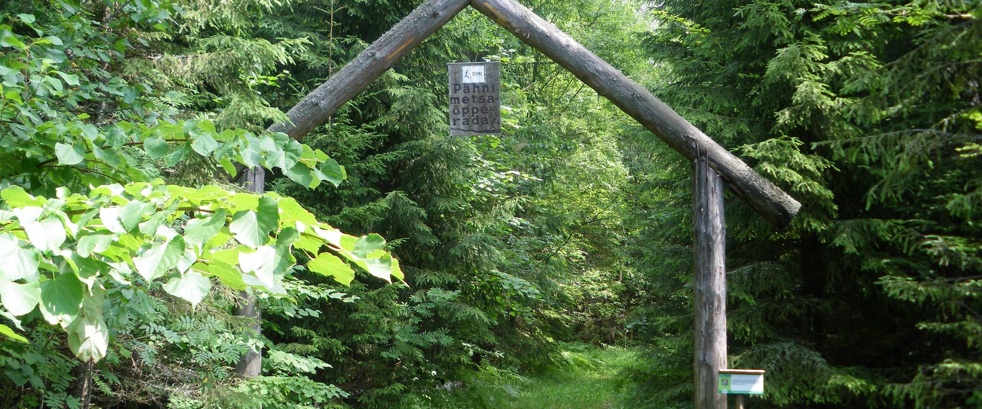
RMK forest study trail at Pähni Nature Centre

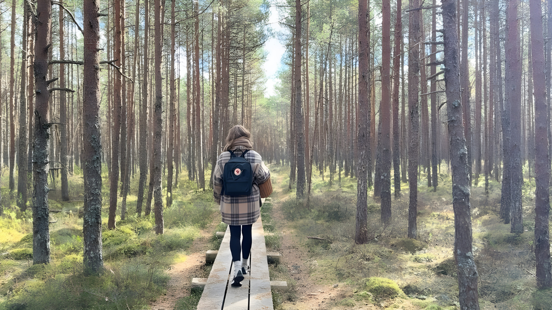
The 2.8 km Pähni forest trail starts and ends at the Pähni Nature Centre.The trail starts with an information board with introductory text, later on you have to follow the signs.There are 15 points of interest on the trail with information on different types of forests, species of trees and evidence of cultural heritage and animal activity. There is also a fire pit and shelters (4) where you can relax and take a break. The trail is partially covered with a wooden boardwalk (200 m).

  • Hiking Trails
  • Camping sites

Piusa River valley hiking trail

The total length of the hiking trail in the primeval valley of the Piusa River is 15 km from the ruins of the Vastseliina Episcopal Castle to Lindora or vice versa. You can take the trail on foot, but parts of it are also passable either by bike or car. The highlights of the reserve are the tall Devonian sandstone outcrops – the tallest of them is the wall of Härma Mäemine or the Keldre Wall (total height 43 m, length 150 m). There are two camping sites – under the Make Wall on the first third of the trail and under the Härma Lower Wall towards the end of the trail.The object is not lighted, which is why we recommend to visit it during the day.

  • Hiking Trails

Pullijärve hiking trail

Located next to the community of Misso, Pullijärv is a nice place to spend some time. If you don't feel like swimming, you can hike around the lake: the 3.6-kilometer-long trail is just the right length for the whole family. The trail rises here and there too: boys used to do ski jumps from its highest point onto the lake in winter.The trail begins and ends at the RMK Pullijärv rental hut, which is located on the north shore of the lake. In spring and fall, the trail can be really wet.

  • Hiking Trails

Mustjärve hiking trail

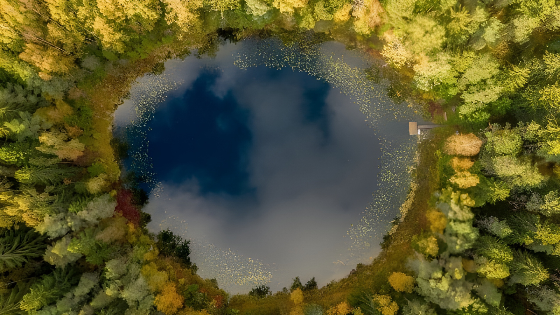
A beautiful bog lake hides in the shade of a pine forest in the northern part of the Lulli bog next to Lake Võrtsjärv. The natural lake is large (23 ha) and very shallow (there is only a metre of water here).The hiking trail starts at the information stand in the car park. Further on, the boardwalk leads directly to the water, which offers scenic views of the lake and the surrounding bog landscape. The short hiking trail (2.3 km) runs around the lake. It is impossible to get lost here, because the trail is circular and everyone finally gets back to the starting point.In the second half of the summer, cloudberries, blueberries, cranberries, and mushrooms can be picked from the surroundings.

  • Beaches
  • Hiking Trails

Lake Vaikne

Between the forests of Elva is a mysterious body of water – Lake Vaikne. The beautiful forest lake is a sight in itself and enchants visitors with its charming nature and silence at any time of the year. The lake has also won the attention of the poet J. Kärner, who at one time often came here to gather inspiration.The place is suitable for a responsible holidaymaker who prefers less populated places and wants to have a breath-taking experience. The lake is suitable for swimming – the water is clean and very warm.Use the wooden bridge to dive into the lake!Swimming is at your own risk!The area is illustrated by the wooden sculptures of the Nature Energy Trail.

  • Hiking Trails
  • Camping sites

Soontaga hiking trail

The Soontaga hiking trail is located at Kiidjärve-Kooraste recreation area. The hiking trail runs along the typical Southern Estonian mixed forests and arrives at the Väike-Emajõgi river. The hiking trail, which can be completed on foot, runs in a circle.There are several information boards at the hiking trail, which describe the nature of the area. The beautiful bodies of water at the hiking trail are equipped with bridges. In addition to the hiking trail there is the Soontaga campsite with campfire places at the recreation area.If you visit the hiking trail during the season, you might find forest berries or mushrooms on our journey.

  • Hiking Trails

The Baltic Forest Trail

The Baltic Forest Trail is a hiking trail over 2,000 km long running through the Baltic States, of which 720 km are available for hiking in Estonia. The trail is divided into 50 one-day sections, each approximately 20 km long and marked with signposts. The trail sections have different difficulty levels so everyone can choose the most suitable one for themselves! The hiking trail passes through forested areas and two national parks, Lahemaa and Alustaguse National Parks. Along the way, you can observe trees of different species and places connected to historical events or legends. The trail is well-suited for bird and animal watching. The Baltic Forest Trail is part of the international European long-distance trail E11.

  • Privacy Policy

"*"обозначает обязательные поля

Это поле используется для проверочных целей, его следует оставить без изменений.
Я разрешаю маркетинг