• Avasta
    • Еда
    • Природа
    • Культура
    • Семья
    • Спорт
    • Сообщество
    • Блог
  • Planeeri
    • Размещение
    • Информация
    • Varamu
RUS
  • РусскийRUS
  • EestiEST
  • EnglishENG
  • LatviešuLAT
  • SuomiFIN
RUS
  • РусскийRUS
  • EestiEST
  • EnglishENG
  • LatviešuLAT
  • SuomiFIN
Populaarsed otsingud:
Näita kõiki tulemusi
  • Nature and Activities
  • Nature
  • Hiking Trails

Mustjärve hiking trail

Elva vald, Tartu maakond, 61117

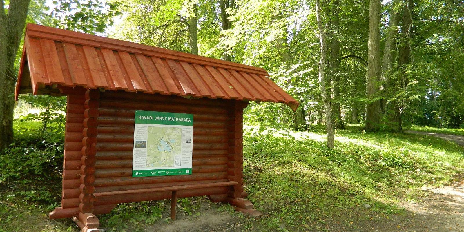
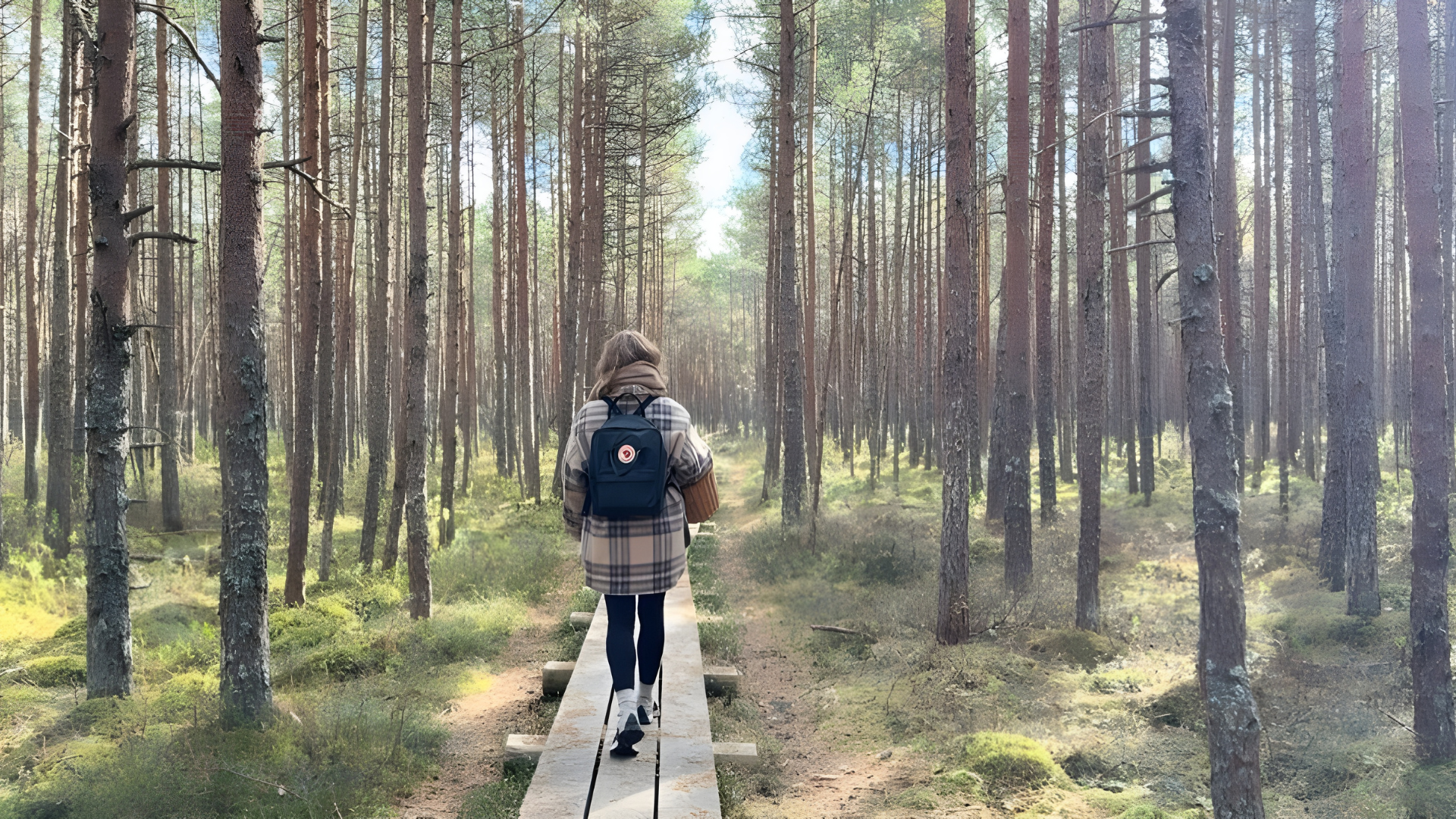
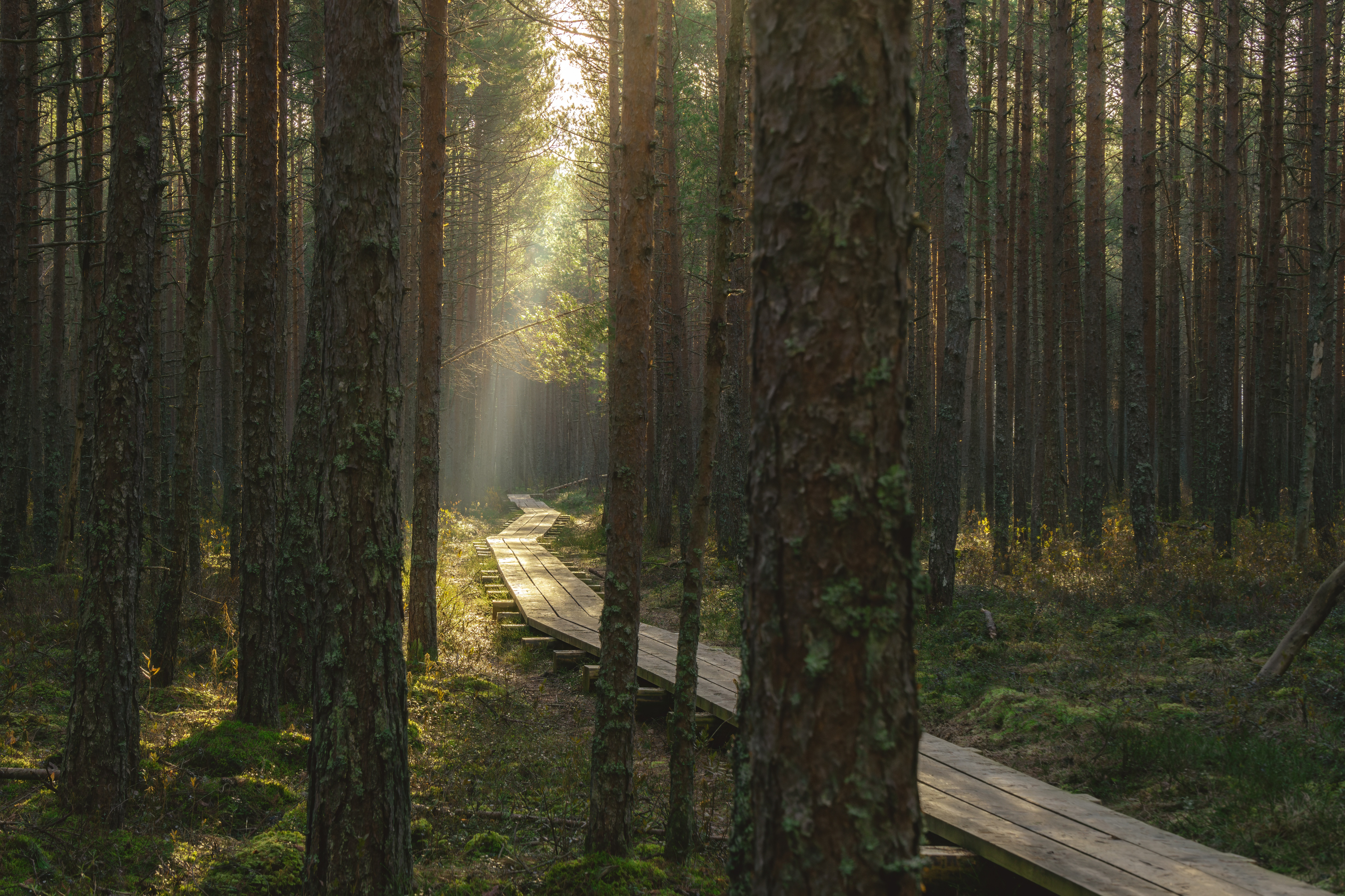
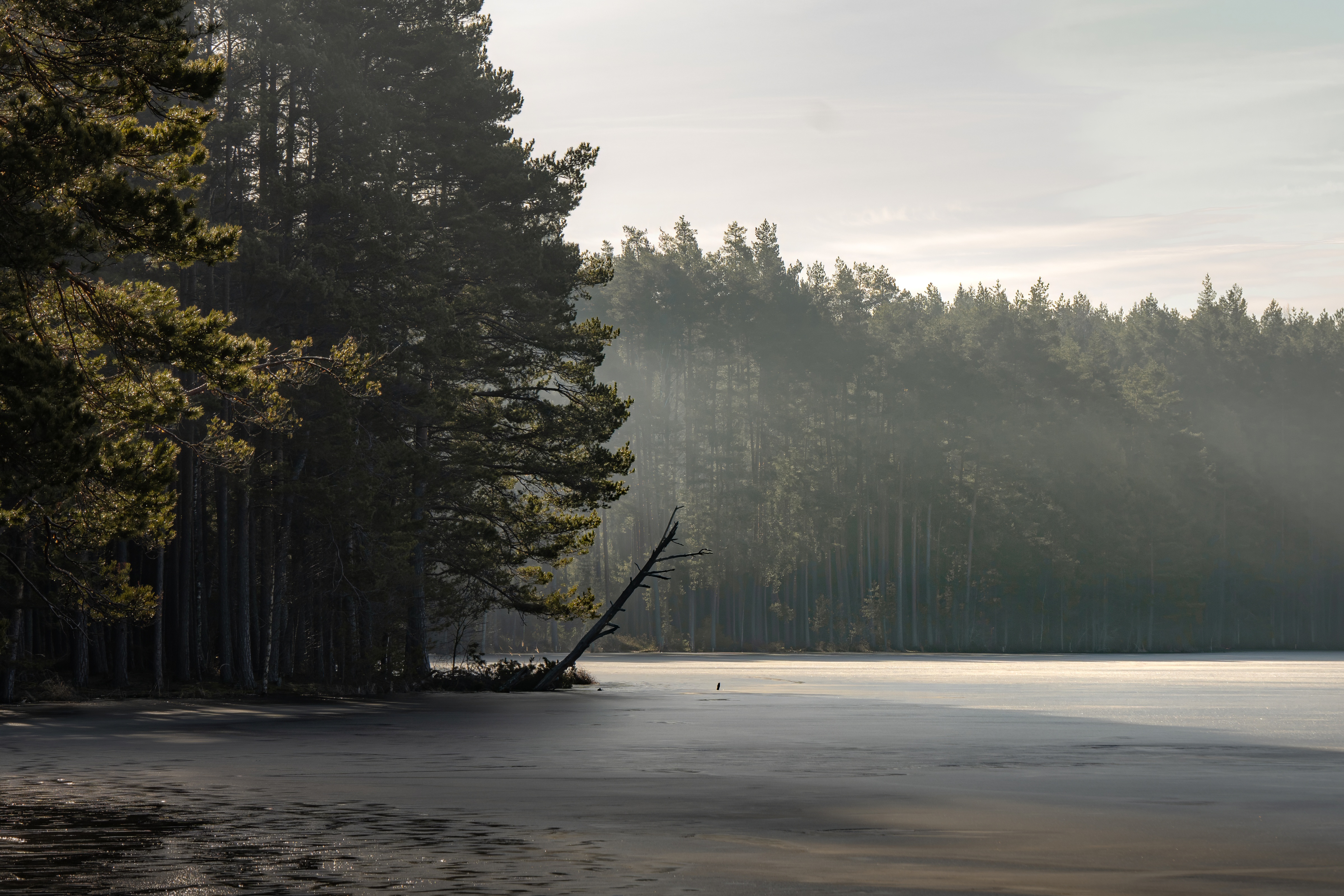
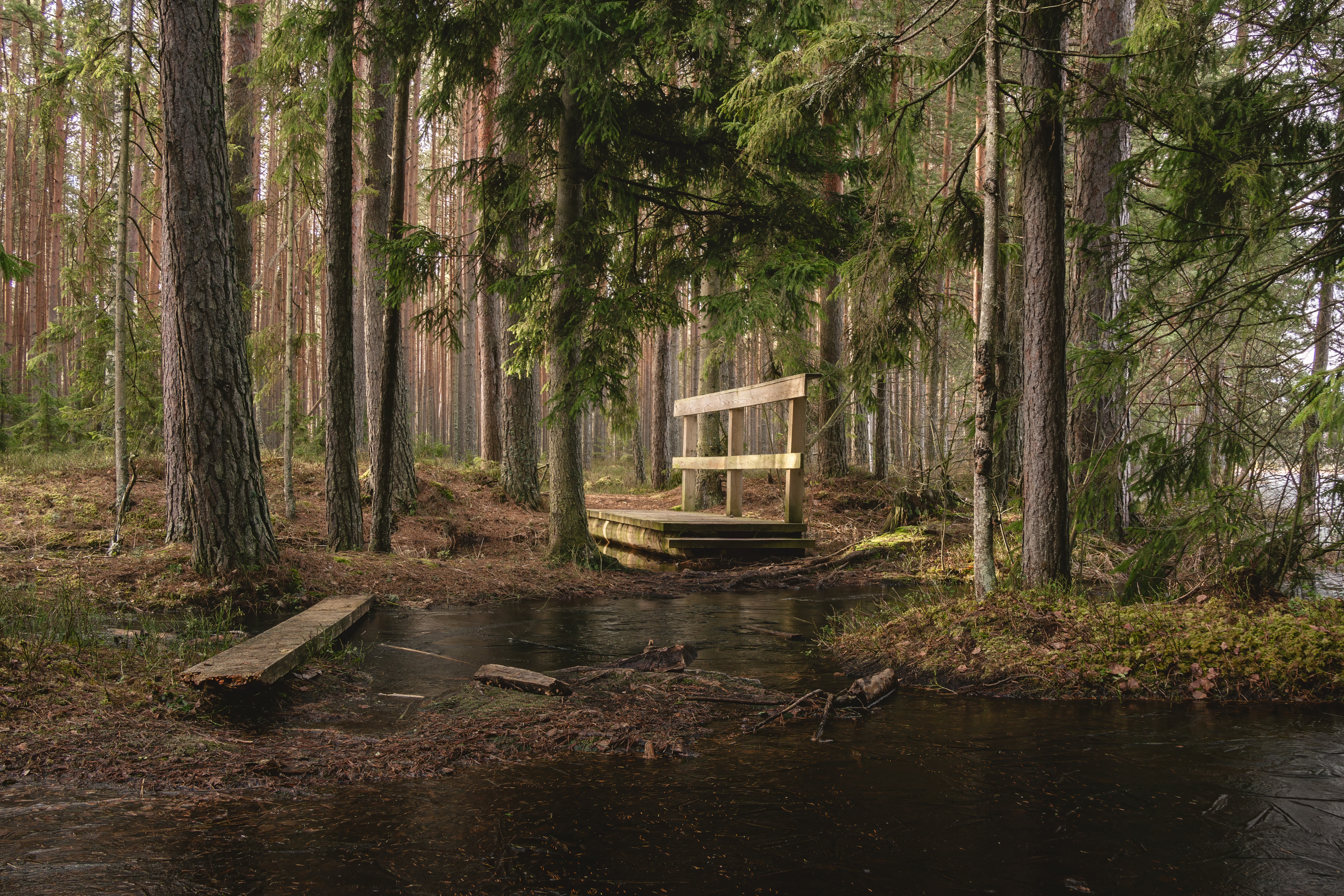
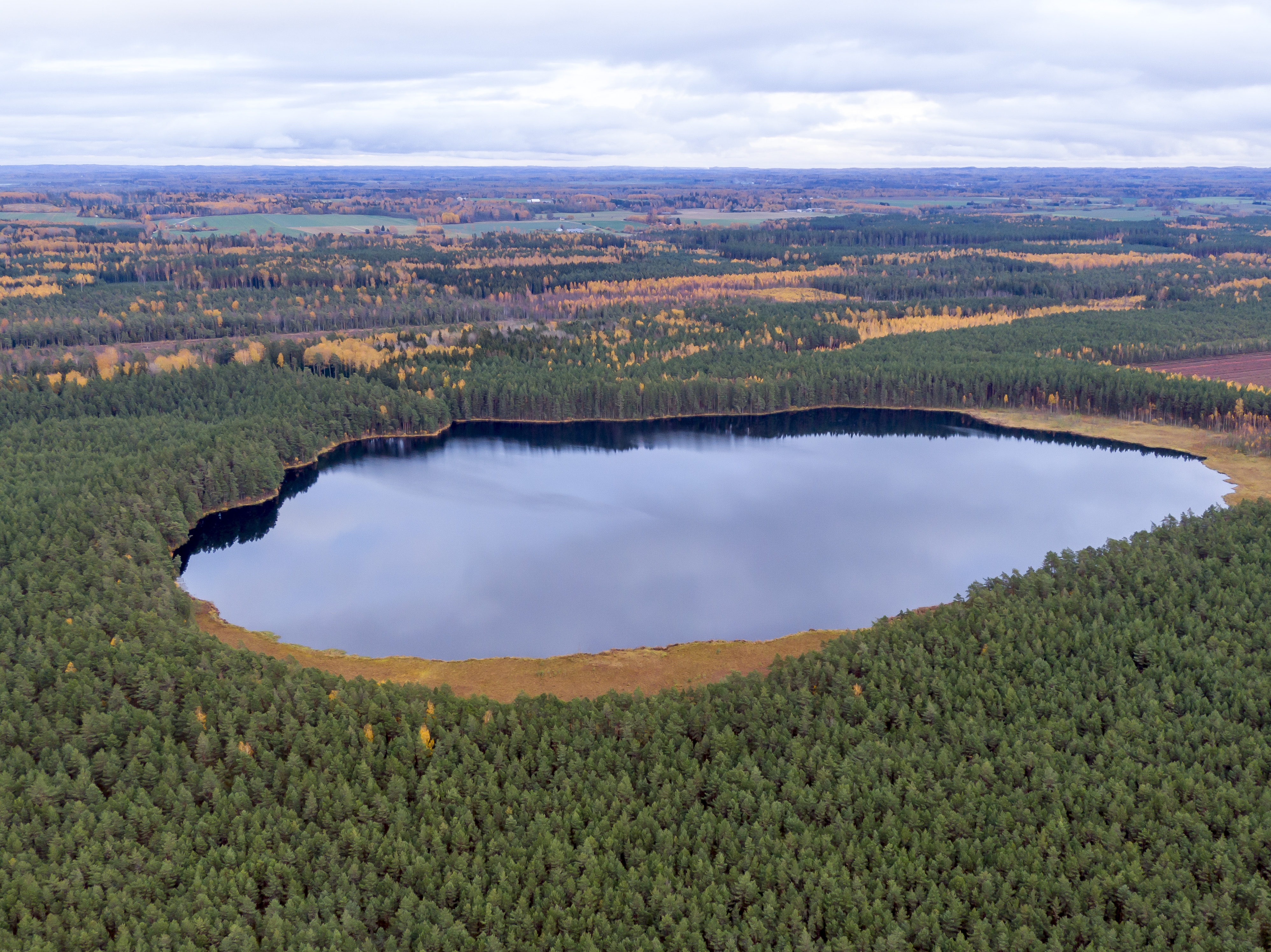
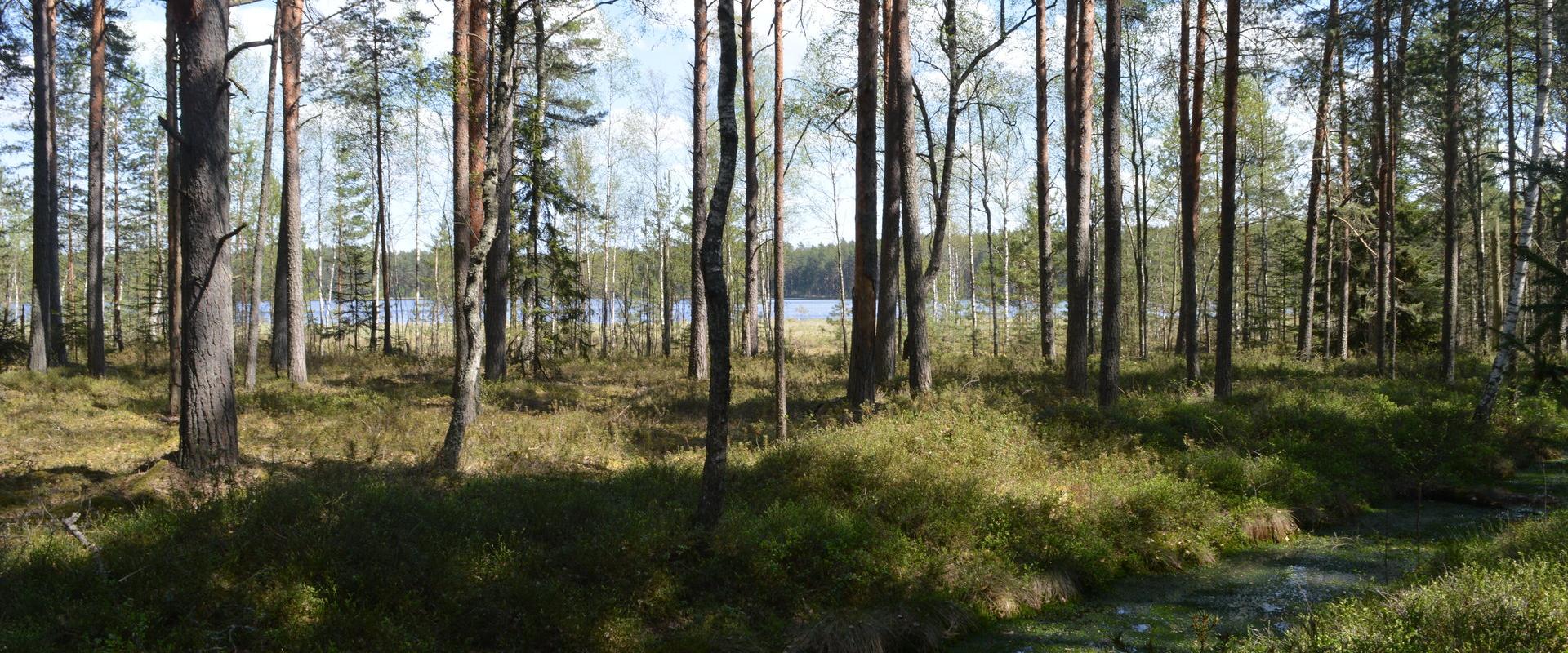
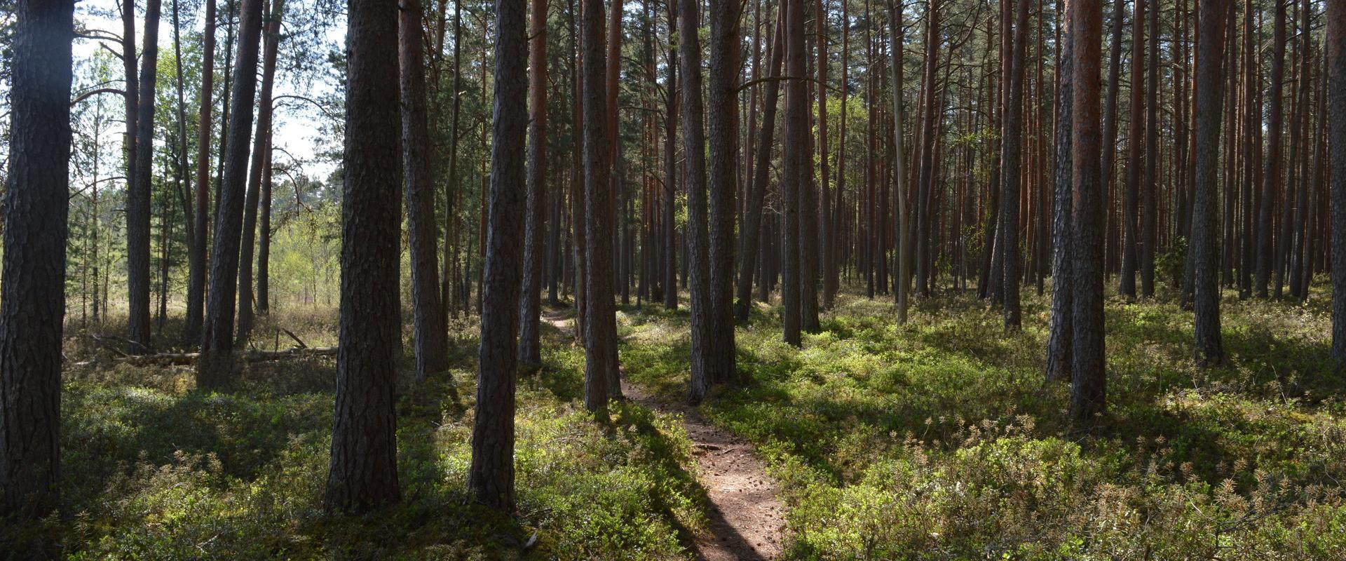
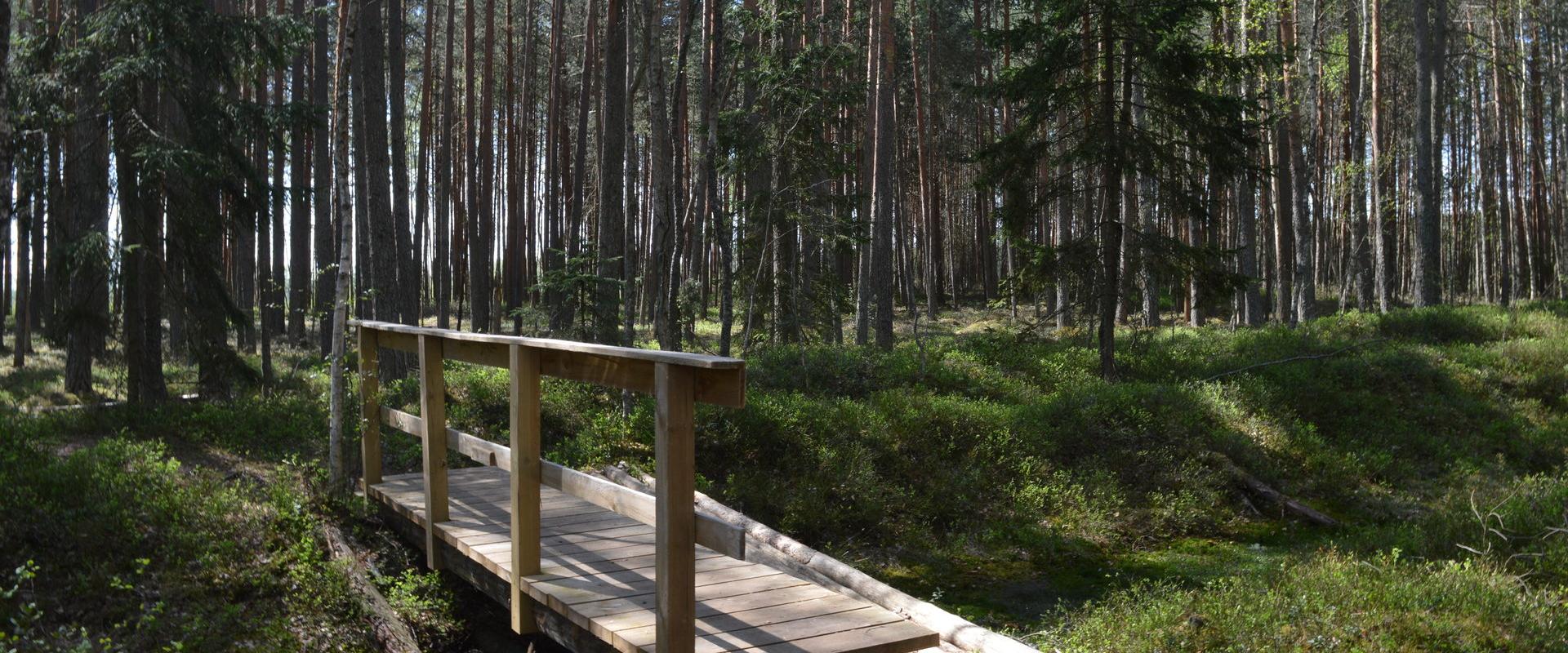
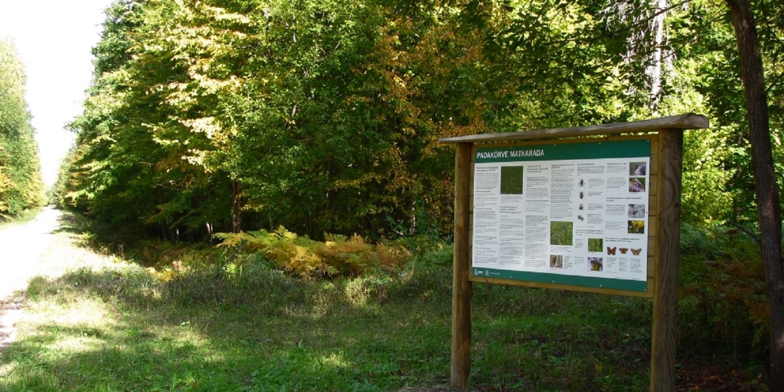
A beautiful bog lake hides in the shade of a pine forest in the northern part of the Lulli bog next to Lake Võrtsjärv. The natural lake is large (23 ha) and very shallow (there is only a metre of water here).The hiking trail starts at the information stand in the car park. Further on, the boardwalk leads directly to the water, which offers scenic views of the lake and the surrounding bog landscape. The short hiking trail (2.3 km) runs around the lake. It is impossible to get lost here, because the trail is circular and everyone finally gets back to the starting point.In the second half of the summer, cloudberries, blueberries, cranberries, and mushrooms can be picked from the surroundings.
Mugavused

  • Information boards

Lahtiolekuajad

Aastaringselt

Ööpäevaringselt

Kontakt

  • +372 524 2702
  • turism@elva.ee

Lingid

visitelva.com

Vaata lisaks

  • Hiking Trails

RMK Voorepalu Põrgurada trail

The hiking trail, which is suitable for a pleasant walk, starts on the other side of the road opposite the Voorepalu campfire site and runs along an extremely varied landscape with several steep ascents and descents. The trail has information boards introducing past events and folklore and the highest point of the trail has a table and benches for resting. Rope railings have been installed on the steep slopes of the trail.The historical Postal Road runs between the campfire site and the hiking trail. Ristimänd tree and many other exciting places are on the trail with a varied landscape. Two cars can park at the campfire site.

  • Hiking Trails

A nature study trail in the southernmost point of Estonia

Drive along the Võru-Valga highway from Saru to Kuutsi-Tiitsa-Karisöödi-Ura-Naha (about 14 km). The trail is about 4.8 km long and it takes a couple of hours to walk it through. The trail starts under the oak-tree with a perimeter of about 4 metres in Naha farm and runs very close to the state border, so make sure you take your ID with you. Interesting to know: you cannot put your foot down on the southernmost point, as the geographically correct southernmost point of Estonia is situated about 5 steps away from the marked spot, just in the middle of the Peetri River.

  • Hiking Trails
  • Birdwatching

Large and Small Taevaskoda sandstone outcrops

The two Taevaskoda outcrops on the banks of the ancient valley of the Ahja River are one of the most frequently visited sites in southern Estonia. The sandstone outcrops and the ancient river form the most beautiful part of the Ahja River Landscape Reserve. Legends speak of caves, secret passageways and of demons and a mermaid with a golden comb. A walk from the Saesaare dam to the Small Taevaskoda outcrop, the Emaläte spring, the Neitsikoobas cave and the Large Taevaskoda outcrop, which rises 22.5 metres above the river, is worth undertaking in every season. The beautiful and exciting natural setting attracts hikers – it is a place that every Estonian visits at least once in their life!

  • Hiking Trails

Taagepera hiking trail

The total length of Taagepera hiking trail is 5.4 km. The trail begins and ends at the Taagepera campfire site and partly runs along the shores of the Õhne River. The trail can also be completed in smaller circles – 1.6 km and 4.0 km long. There are wooden signposts and information boards at the hiking trail, capfire site is suitable also for camping.The main sights of the hiking trail include the Taagepera Castle with the Castle Park, Taagepera Church and the Cemetery, the graveyard of barons, the Musukivi rock, the sacrificial stone, the underground cemetery, and the Õhne River.A truly inspiring hike full of history, architecture, and ancient nature!

  • Hiking Trails

Selli-Sillaotsa study trail

If you want a break from the hustle and bustle of the city, head to the beautiful, untouched nature of the Selli-Sillaotsa educational trail. Trail is located in the Alam-Pedja nature reserve, 30 minutes by car from Tartu. The well-marked trail, winding over a bog, through the forest, and on a gravel road, with plenty of information boards, is flat and easy to navigate. From the 12 m high Suuretüki observation tower built of massive logs, you can enjoy beautiful views of the bog in any season! If you find yourself on the trail at the right time of year, you can treat yourself to edible berries, such as blueberries, blackberries, and cranberries.

  • Hiking Trails
  • Camping sites
  • Lookout towers

Meenikunno hiking trail

Cabins for hikers, an observation tower and a boardwalk attract many nature lovers to the Meenikunno bog. It is a beautiful recreation area. While walking down the boardwalk, you can see the most common bog plants: leather leaf, bog rosemary, crowberry, Marsh Labrador tea, and tussock cottongrass; at the edge of the bog, dwarf birches can also be found. There are also a number of different species of peat moss of various colours. The bravest hikers can try drinking bog water (it has an interesting taste!) from the overgrown ditch near the edge of the bog.Good to know: The boardwalk is pram and wheelchair accessible.

  • Hiking Trails

Hiking trail in the Rõuge Primeval Valley

The Rõuge Primeval Valley hiking trail is as straight as a line, 10 km long, it begins at Hinni Canyon or in the Ööbikuoru Centre parking lot. Beginning at the Ööbikuorg start point, the trail runs along the shores of seven lakes towards Hinni Canyon and offers hikers an opportunity to observe the workings of the area's water rams, see the deepest Estonian lake – Rõuge Suurjärv and visit Rõuge Park.Further on, on the shores of Lakes Ratasjärve, Tõugjärve and Kahrila, hikers can see the local forest communities, rest in meadows or enjoy the village landscape and proceed along the short path towards Hinni Canyon.

  • Hiking Trails

Sangaste forest park trail

The 3-kilometre-long Sangaste forest park trail is located in Kiidjärve-Kooraste Recreation Area and starts from the forest park behind the Sangaste Castle.The trail introduces the forest park, founded by Count Friedrich Magnus Berg, where nearly a few hundred different species of trees and shrubs are represented. The trail has signs, stairs, bridges, and information boards that introduce the forest park and the various species of trees. There's also a campfire site on the trail with a fire pit, benches, a toilet, and a wood shed, which can also be used as a shelter.Interesting fact: Estonia's tallest, a 42-metre-tall Douglas tree grows in the park. It's possible to visit the Sangaste Castle during opening hours.

  • Privacy Policy

"*"обозначает обязательные поля

Это поле используется для проверочных целей, его следует оставить без изменений.
Я разрешаю маркетинг