• Открой
    • Еда
    • Природа
    • Культура
    • Семья
    • Спорт
    • Сообщество
    • Блог
    У Вас появились свободные выходные, чтобы провести с детьми? Здесь собраны лучшие места в Южной Эстонии для семейного отдыха
  • Планируй
    • Размещение
    • Информация
    Устойчивый туризм
RUS
  • РусскийRUS
  • EestiEST
  • EnglishENG
  • LatviešuLAT
  • SuomiFIN
  • LietuviųLIT
RUS
  • РусскийRUS
  • EestiEST
  • EnglishENG
  • LatviešuLAT
  • SuomiFIN
  • LietuviųLIT
Популярные запросы:
Показать все результаты
  • Nature and Activities
  • Nature
  • Hiking Trails

Hiking trail Green Railways Valga / Valka–Ape

Valga vald, Valga maakond, 68204

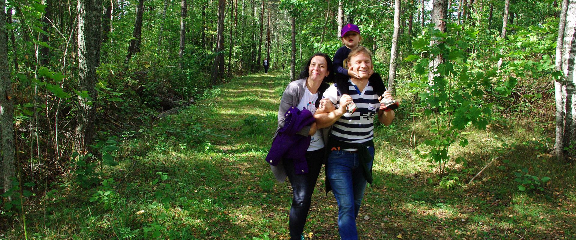
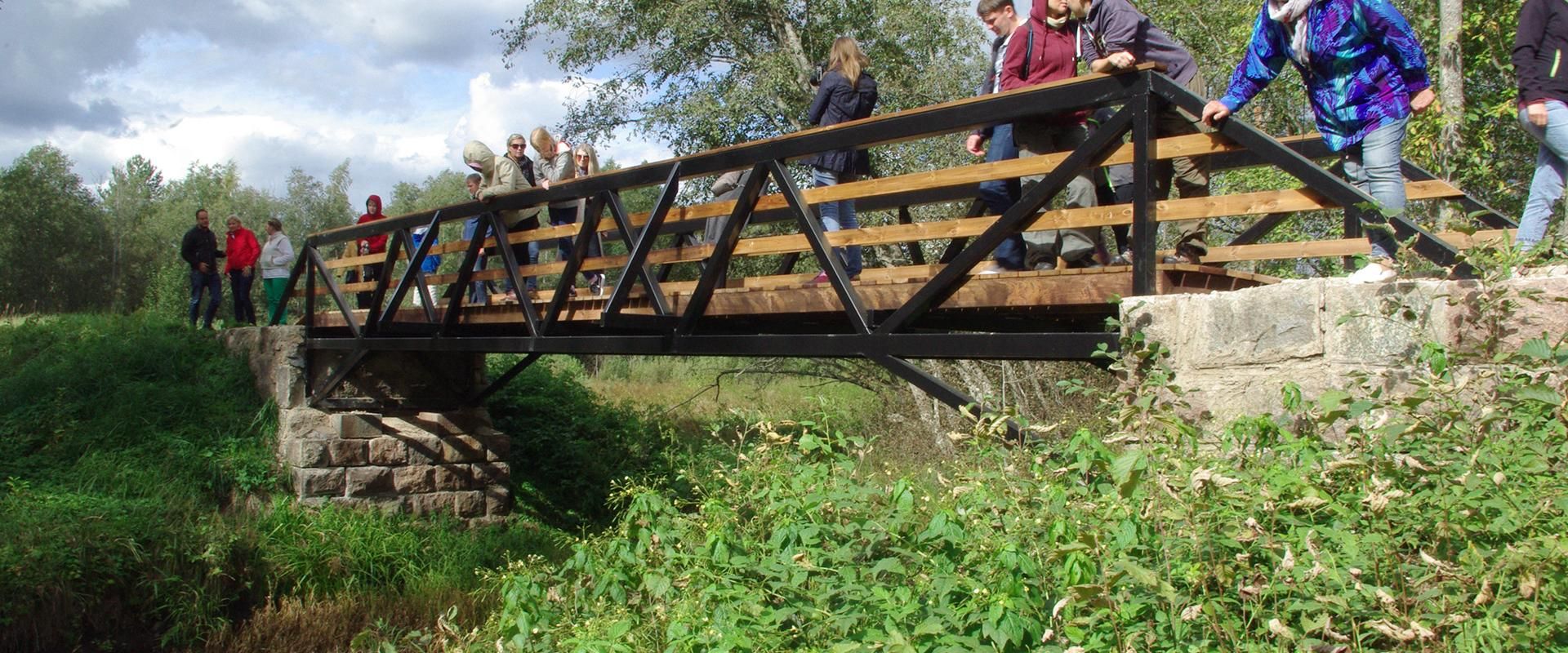
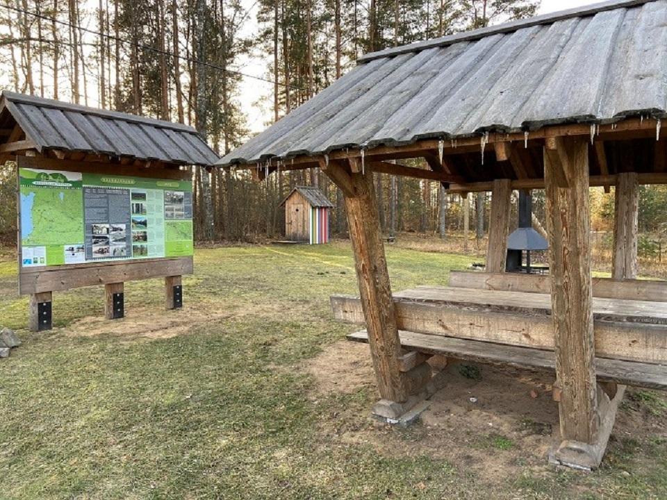
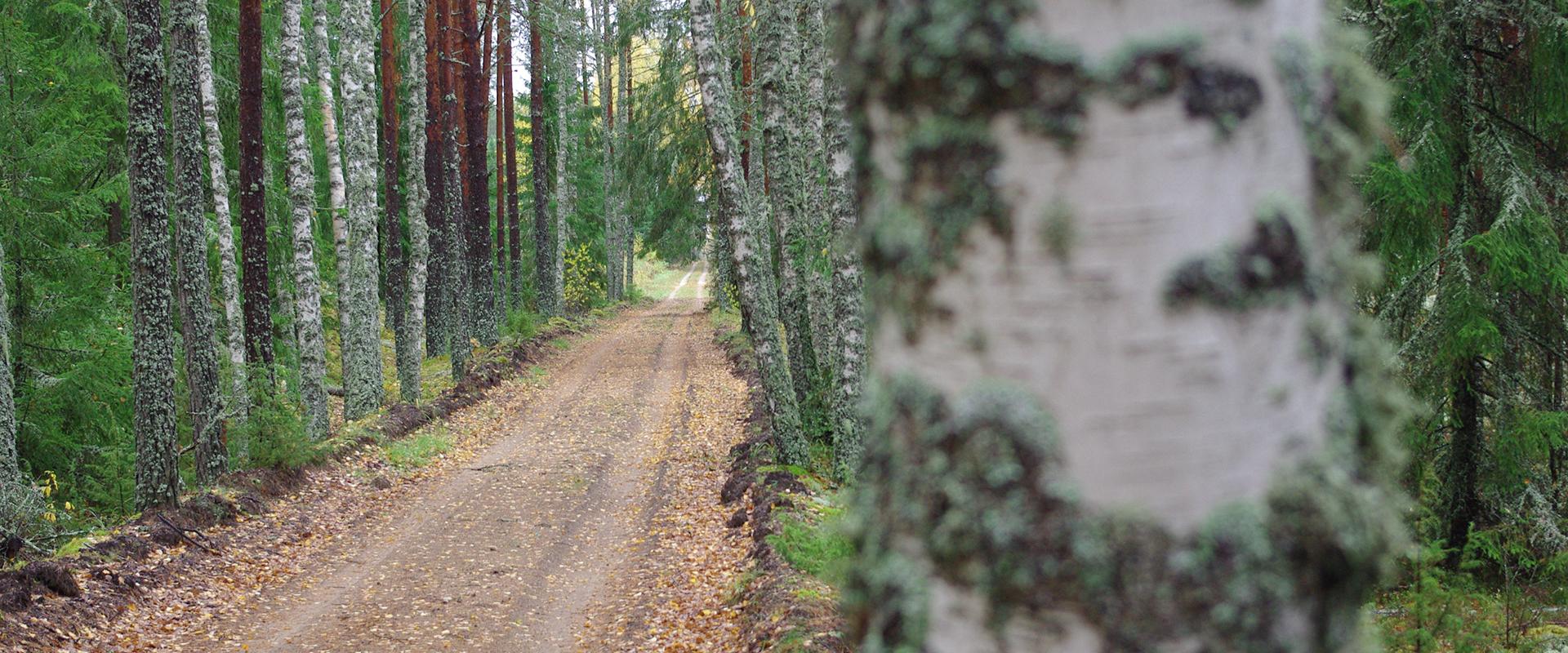
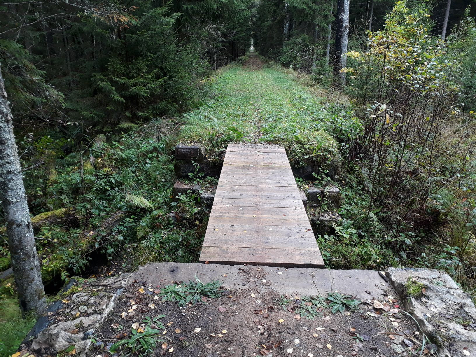
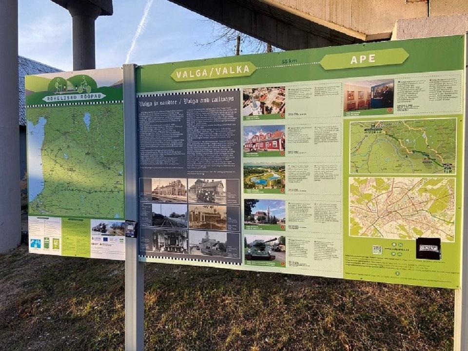
The Valga/Valka–Ape narrow gauge railway was opened to traffic in 1900 and the last trains ran here in 1970.Today, most of the old railway embankment is used as a hiking trail that runs through forests and fields on gravel and dirt roads.On the Valka–Žuldin and Koikküla–Hargla section, the trail is redirected to larger roads, because the former railway dam is mostly impassable there.Many old railway photographs and historical stories related to the railway have been attached to the old sleepers on the railway dam.There is a resting place in Hargla.

Удобства

  • Information boards
  • Free parking

Часы работы

1. apr - 31. okt

Ööpäevaringselt

Контакты

  • +371 64122011
  • info@greenways.lv

Ссылки

greenrailways.eu

Подробнее

  • Hiking Trails

Luhasoo nature trail

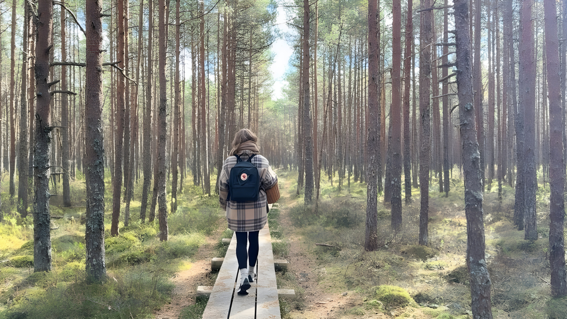
The hiking trail on the Luhasoo landscape protection area is a 5 km long loop, partially covered with a boardwalk. In the center of the trail, there is a small forest hut on a bog island for overnight stays. Hiking in the flat terrain of Luhasoo offers a contrast to the otherwise hilly nature of Võrumaa. The peace and quiet of the bog help nerves to relax from city noise and daily activities. The boardwalk-covered part is easy to traverse even with children. It is possible to take breaks along the way. Luhasoo bog is known for its dark-water pools and moss fields shimmering between them. As you move along the trail, picturesque views of the bog lake and surrounding transition bog landscape unfold — it's an ideal place to breathe in clean air, take a break, and recharge naturally. The hike offers both visual diversity and an opportunity to truly escape the noise of everyday life. Good to know: firewood needed for the forest hut should be taken from the shelter at the start of the boardwalk. The forest hut is available for free use.

  • Hiking Trails

Elistvere study trail

Elistvere study trail is located in Elistvere village, Tartu County. The trail is 2 km long back and forth and starts at the Elistvere Animal Park. At the end of the study trail you will find the magical Lake Elistvere with an observation tower offering a great view to the flora surrounding the lake and animals running in the bushy greenery. The information boards at the road help the visitors and there are several observation platforms. The trail can be completed in a wheelchair and with a children's stroller as well.The study trail can be accessed only during the opening hours of the animal park. The animal park has an entrance fee.

  • Hiking Trails

Elva primeval valley hiking trail and Illi camping area

The Elva primeval valley hiking trail is a 15.5 km long trail located in the Elva landscape protection area with alternating terrain for those who want to hike for several days. On the trail, you will find various forest landscapes, sandstone outcrops, wonderful forest lakes, Viti observation tower, floodplain meadows, trenches, beavers, and the kingdom of ants. There is also a Witch's House and Adventure Trail on the trail.The primeval valley trail starts and ends at the Tartu County Recreational Sports Centre. The scheme of the hiking trail with camping and campfire sites (including the Illi camping area) can be found HERE. The black or yellow numbers on the track indicate the kilometers travelled.Please respect the nature while you're here!

  • Family friendly
  • Lookout towers
  • Hiking Trails

Ööbikuorg valley and Rõuge lakes

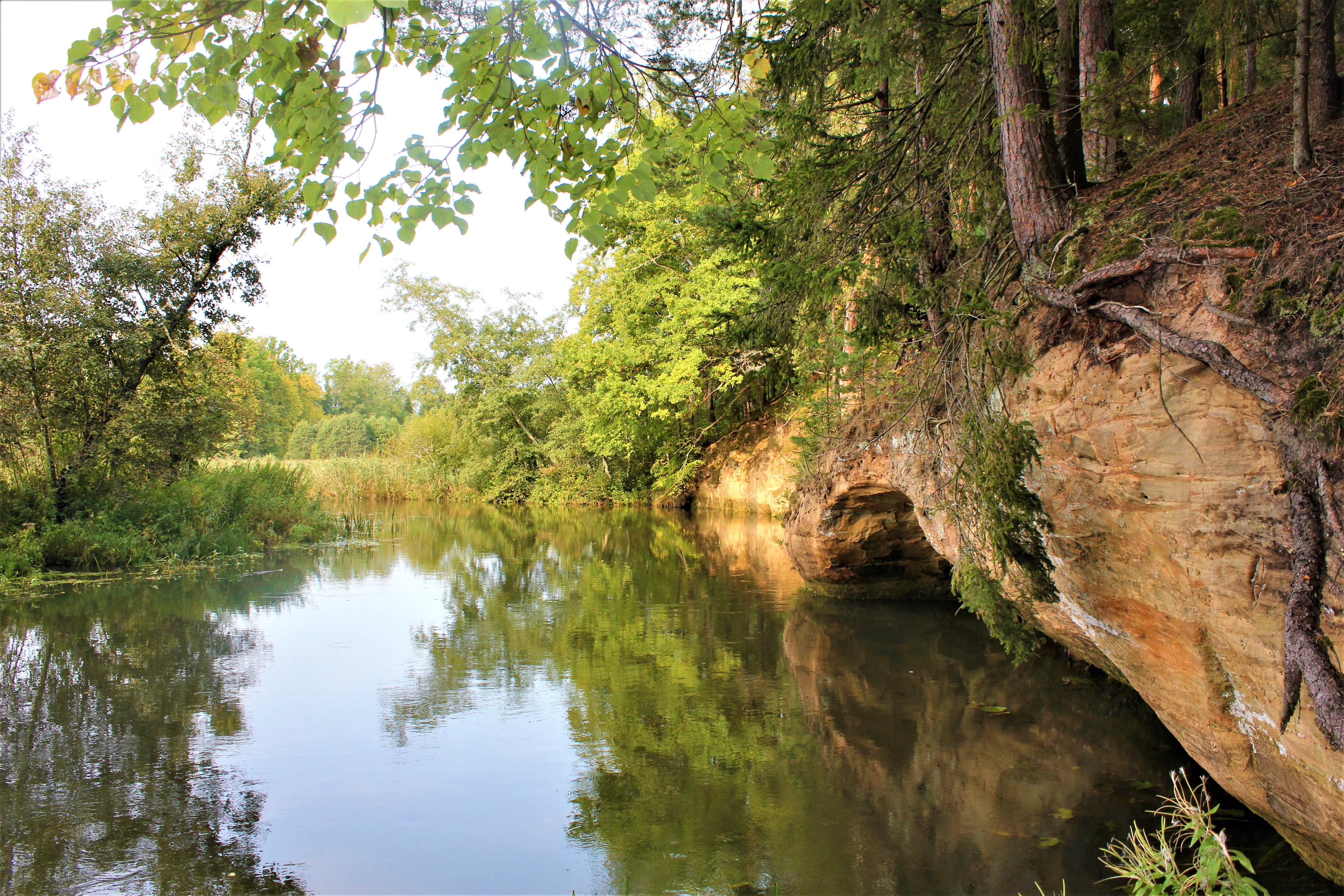
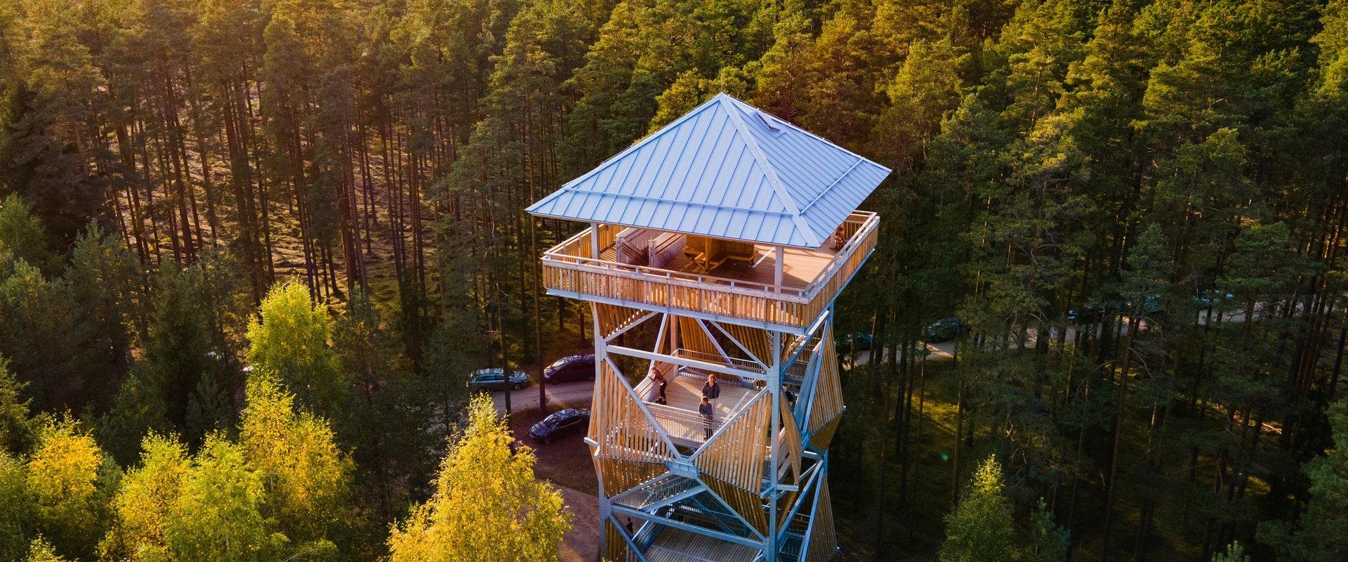
The Rõuge primeval valley, which is 10km long and 52m deep, contains seven lakes: Kahrila Lake, Tõugjärv, Ratasjärv, Kaussjärv, Rõuge Suurjärv, Liinjärv, and Valgjärv. The lakes are connected by the Rõuge or Ajo River, which starts from the Tindi valley. The side valleys of the Rõuge primeval valley are Tindi, Külm, Mõhk, Ööbikuorg, Tinopeetri, Hinni, Sikasoo, and Järveotsa valleys. The most famous of these is Ööbikuorg, which borders the ancient hillfort from the north. In spring, during the blossoming of bird cherry trees, the valley resonates with the song of nightingales – hence the name of the valley. Several hiking trails run through Rõuge, including the popular Ööbikuorg hiking trail, which takes visitors through the primeval valley, past lakes and springs. The trail is suitable for families with children and is partially accessible by bicycle. In summer, you can swim and paddle in the lakes, while in winter, the same trails are enjoyed by skiers and sledders. In the Rõuge settlement, there is also Estonia's deepest lake – Rõuge Suurjärv (38m) – and the largest Nature Clock in Estonia, whose hands mark the passage of time in nature's rhythm.Good to know: At the edge of Ööbikuorg, there is a visitor center and the Pesapuu observation tower, which offers a view of the entire valley.

  • Hiking Trails

Järvselja Primeval Forest Nature Study Trail

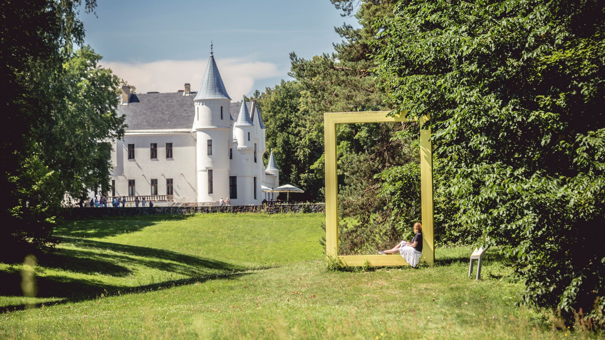
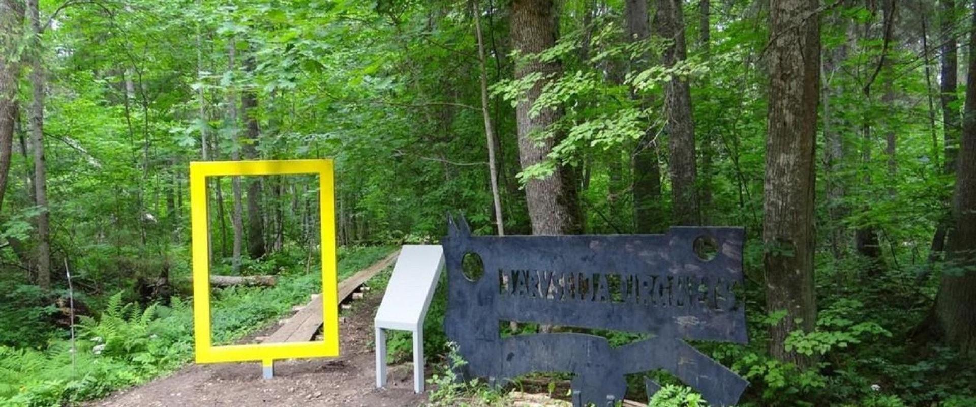
Järvselja nature study trail introduces the forest surrounding the centre of forestry and research. The trail is diverse and passes through a number of forests. Here, you will see the King’s pine (Kuningamänd), which is over 380 years old, as well as spruces that are more than 40 meters high – making them one of the highest trees in Estonia.The trail runs partly on a boardwalk and the route is 1–5 km long. A good starting point is either the Järvselja Hunting Lodge or the guest house, where there are information boards with a map of the trails.Järvselja study trail and the primeval forest represent one of the best locations to discover in Southern Estonia, marked with the yellow frame of National Geographic.

  • Lookout towers
  • Hiking Trails

Estonian-Latvian joint cultural heritage trail

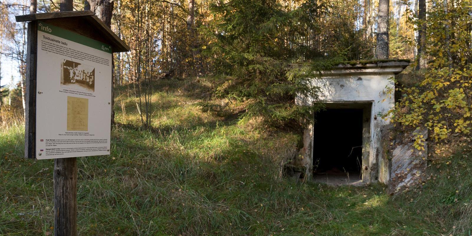
An exciting hiking trail runs along the banks of the Koiva River, which borders Estonia and Latvia. You can discover points important to both countries' cultural heritage along the trail! The trail is 22 kilometers long, so there and back comes to 44 kilometers. The trail introduces old Estonians' way of life and offers the opportunity to get acquainted with historical heritage in the middle of nature. The trail includes, for example, Taheva Manor, a windmill, the ruins of a hay barn, and ancient trees. There are several campfire sites and camping sites. The trail is signposted and equipped with information boards in Estonian, Latvian, and English, and it can also be completed by bike.

  • Hiking Trails

Karula National Park and the visitor centre by the Lake Ähijärv

Karula National Park is Estonia's smallest national park, characterized by a hilly landscape rich in lakes, with 60 lakes on the highland. The national park is open to everyone: families, backpackers, and nature enthusiasts, offering various opportunities for relaxation and hiking. At the visitor center located by Lake Ähijärv, you can get information about the opportunities available in the national park, and the permanent exhibition there introduces the history, nature, folk culture of the Karula region, as well as the modern lifestyle. The heart of the national park is Lake Ähijärv, which is ideal for boating, swimming, and enjoying nature. Hiking enthusiasts are awaited by well-maintained trails that lead through forests, wooded meadows, and hilly landscapes, offering views unique to Karula. Popular destinations include the Rebäse hiking trail, Lüllemäe observation tower, and Kaika hillocks, which offer a great view of the rolling landscape. The national park has plenty of camping and bonfire sites, as well as natural swimming spots, making it suitable for both day trips and longer vacations.

  • Hiking Trails

Rebäse landscape trail

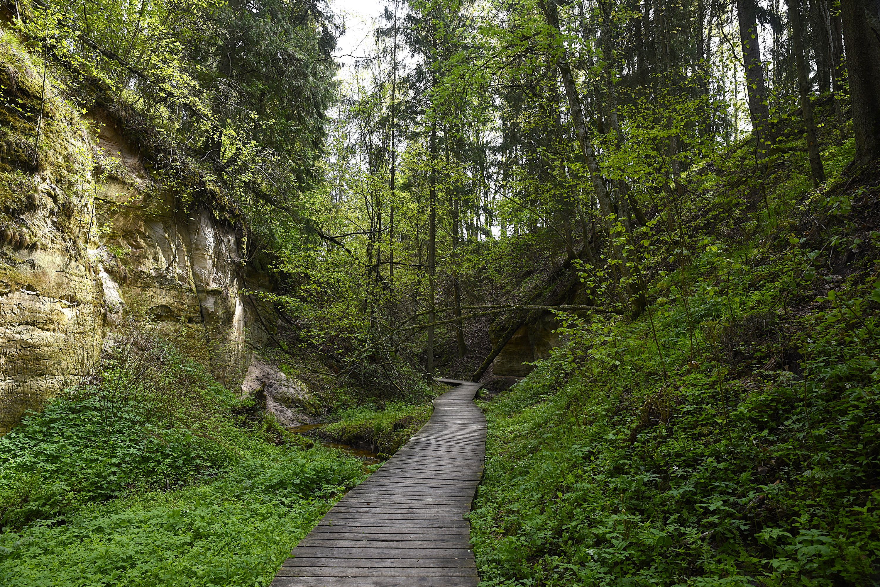
The 7-kilometre-long Rebäse landscape trail is located in the Karula National Park. The trail runs through old farm landscapes, passing the oldest farmstead in the area and the Linnamägi hill with traces of settlement from the Early Iron Age. Hikers can climb up the local "Mount Ararat", see Lake Raudjärv with its ice-cold water, and admire one of the largest gullies of Karula upland.You may need sturdy boots to pass the trail because in rainy weather the trail might be muddy and the boardwalk slippery. The trail also passes pastures, so you might encounter curious but generally friendly cows. Be careful around farm fences, they may be electric!

  • Privacy Policy

"*"обозначает обязательные поля

Это поле используется для проверочных целей, его следует оставить без изменений.
Я разрешаю маркетинг