• Открой
    • Еда
    • Природа
    • Культура
    • Семья
    • Спорт
    • Сообщество
    • Блог
    У Вас появились свободные выходные, чтобы провести с детьми? Здесь собраны лучшие места в Южной Эстонии для семейного отдыха
  • Планируй
    • Размещение
    • Информация
    • Varamu
    Sustainability
RUS
  • РусскийRUS
  • EestiEST
  • EnglishENG
  • LatviešuLAT
  • SuomiFIN
RUS
  • РусскийRUS
  • EestiEST
  • EnglishENG
  • LatviešuLAT
  • SuomiFIN
Populaarsed otsingud:
Näita kõiki tulemusi
  • Nature and Activities
  • Nature
  • Hiking Trails

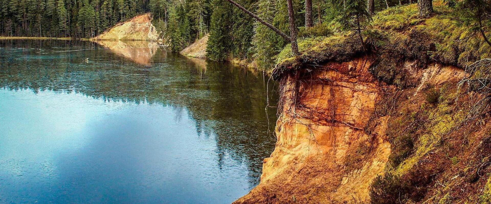
Karula National Park and the visitor centre by the Lake Ähijärv

Antsla vald, Võru maakond, 66420

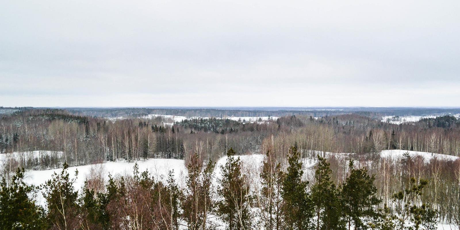
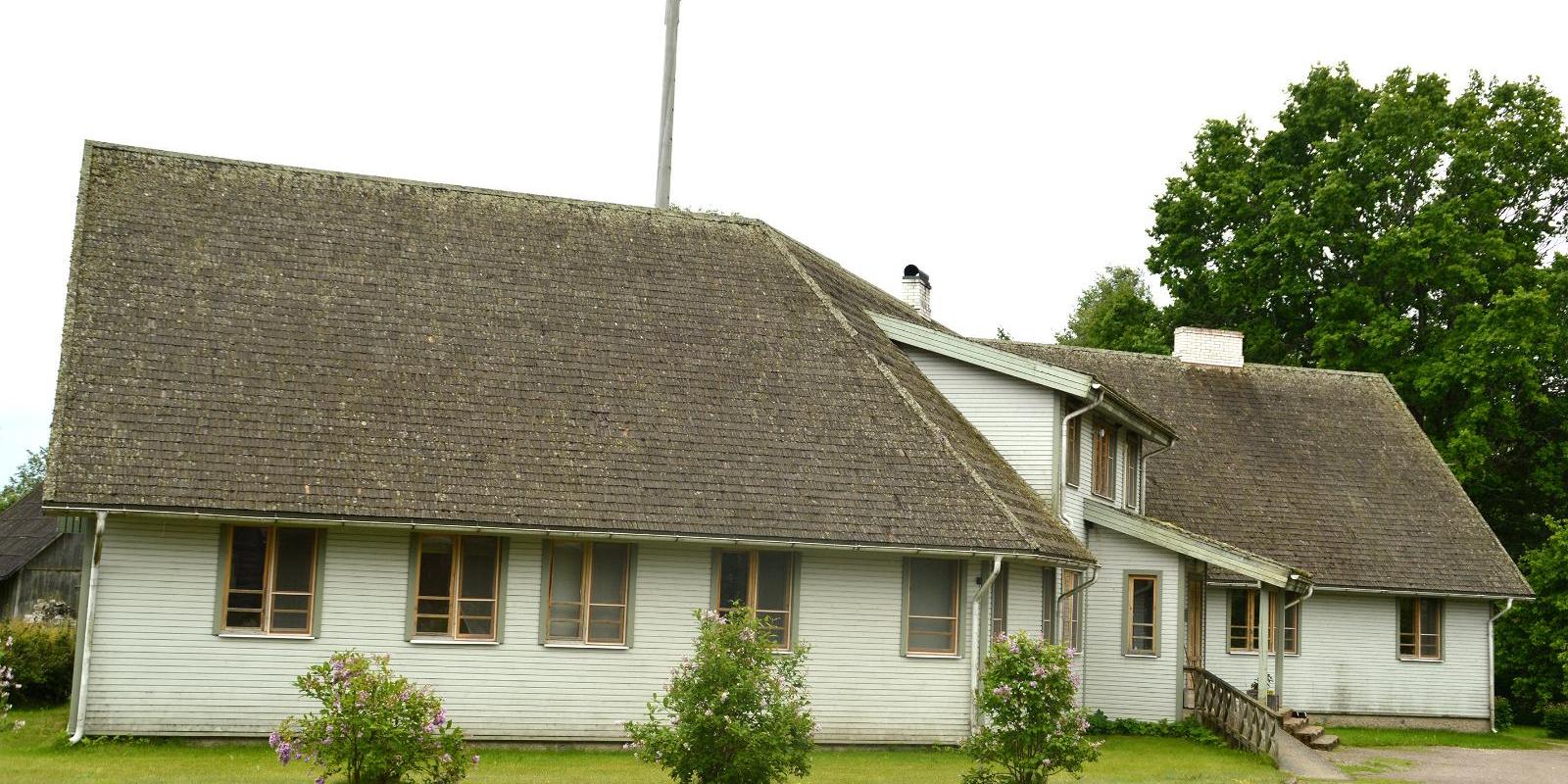
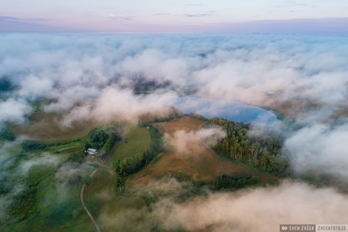
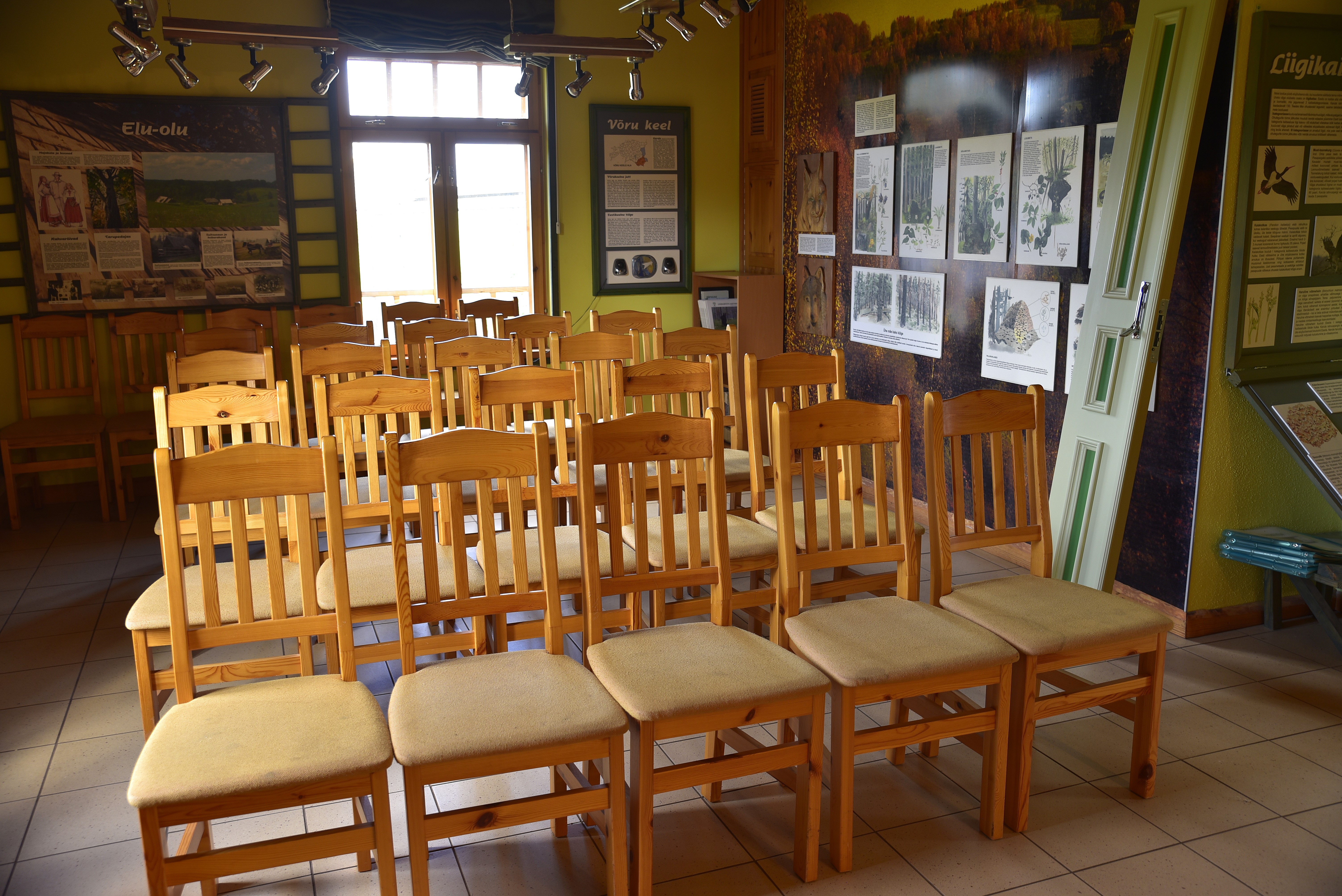
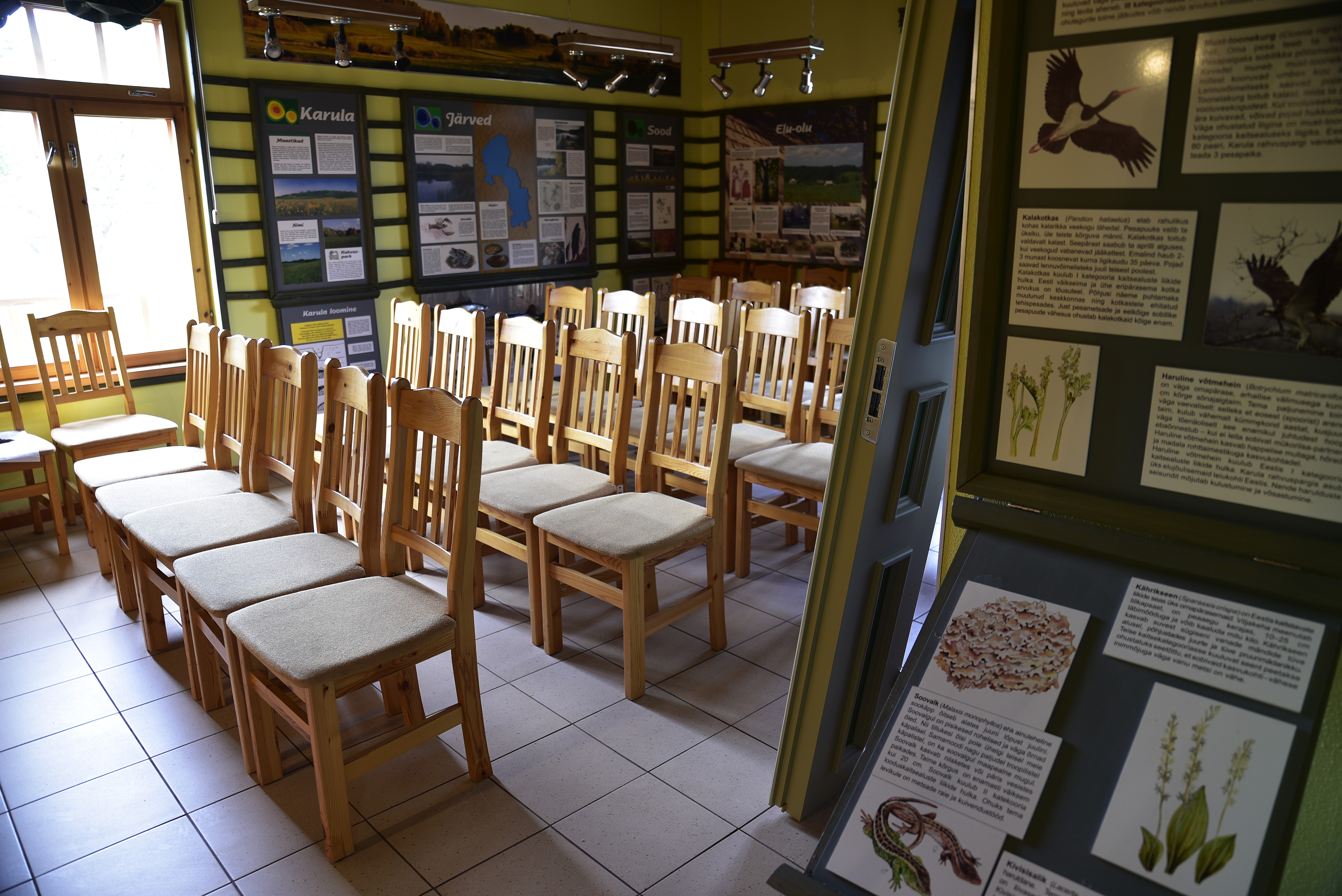
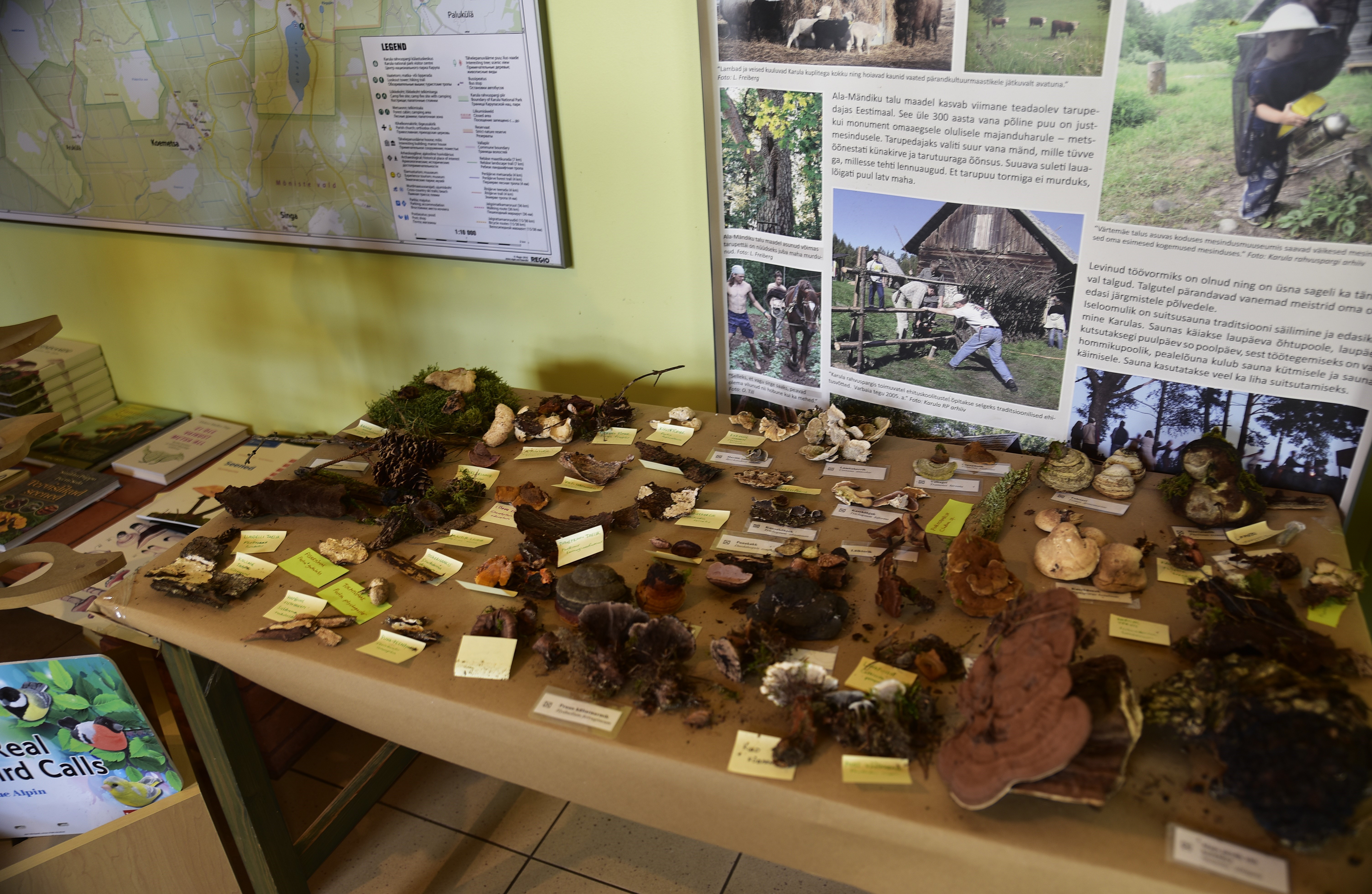
Karula National Park is Estonia’s smallest national park, characterized by a hilly landscape rich in lakes, with 60 lakes on the highland. The national park is open to everyone: families, backpackers, and nature enthusiasts, offering various opportunities for relaxation and hiking. At the visitor center located by Lake Ähijärv, you can get information about the opportunities available in the national park, and the permanent exhibition there introduces the history, nature, folk culture of the Karula region, as well as the modern lifestyle.
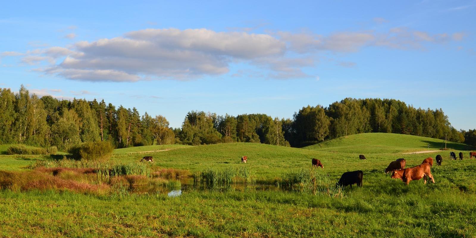
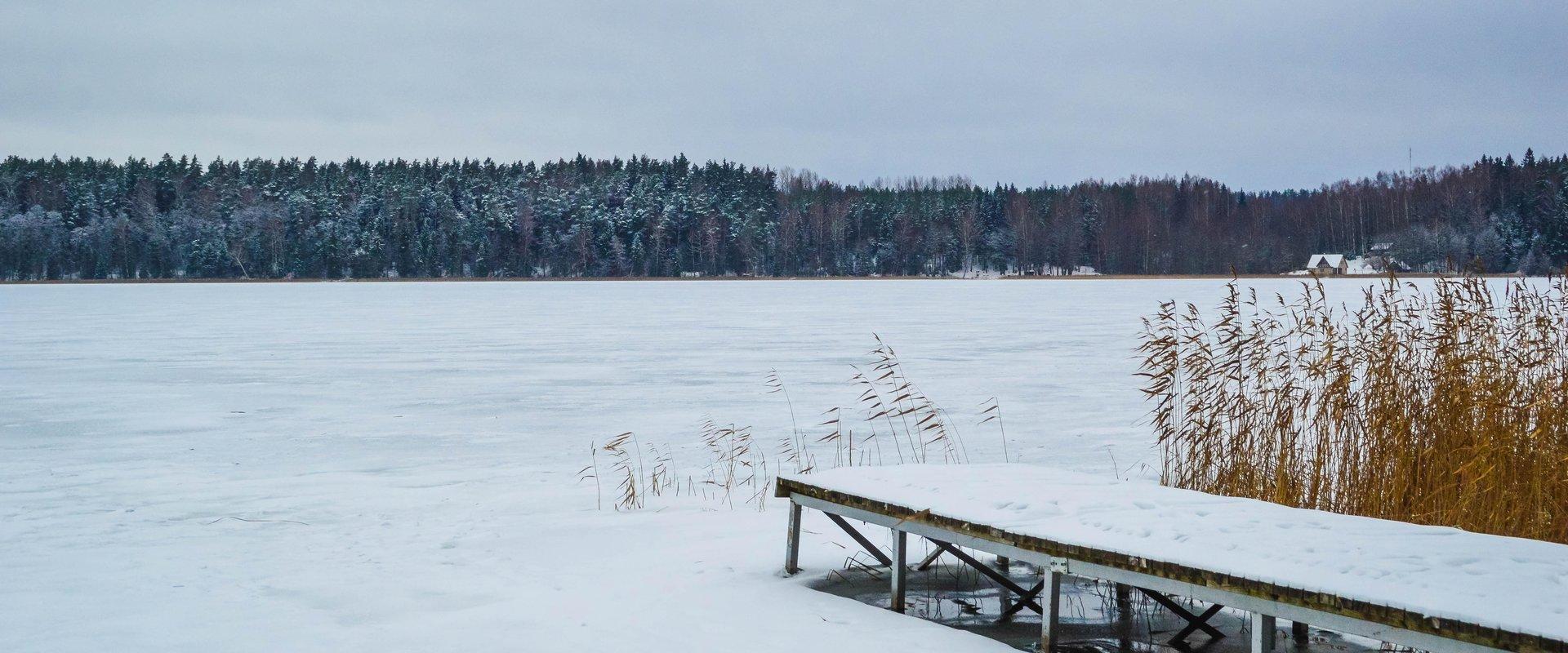
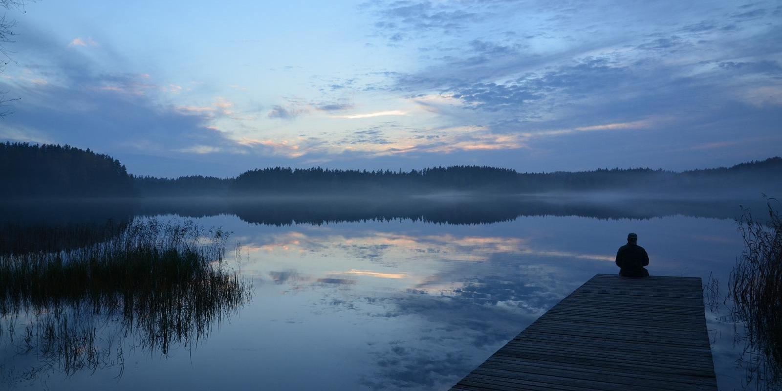
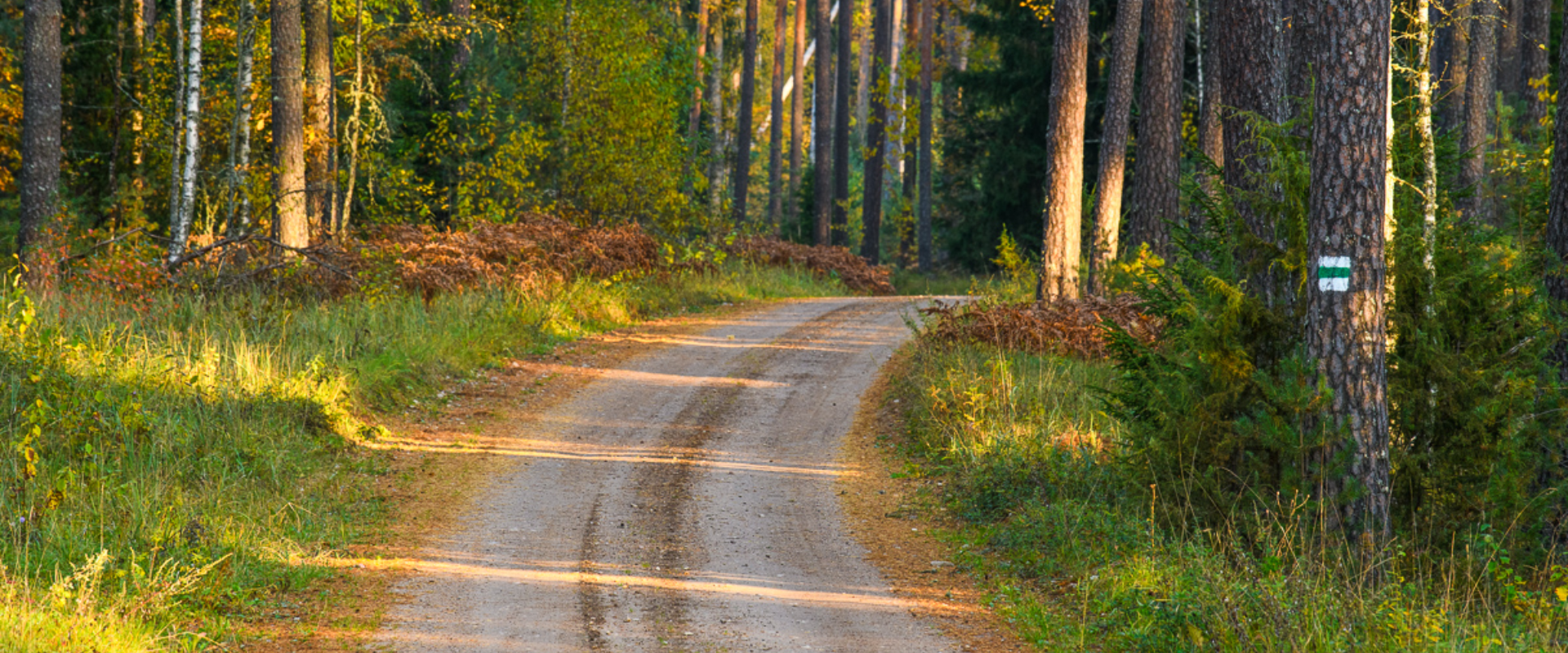
The heart of the national park is Lake Ähijärv, which is ideal for boating, swimming, and enjoying nature. Hiking enthusiasts are awaited by well-maintained trails that lead through forests, wooded meadows, and hilly landscapes, offering views unique to Karula.
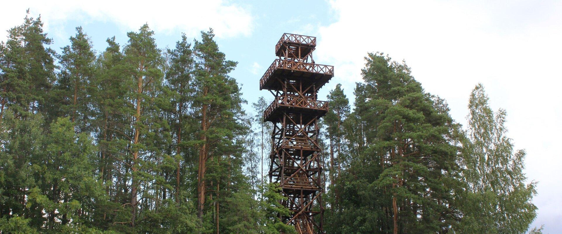
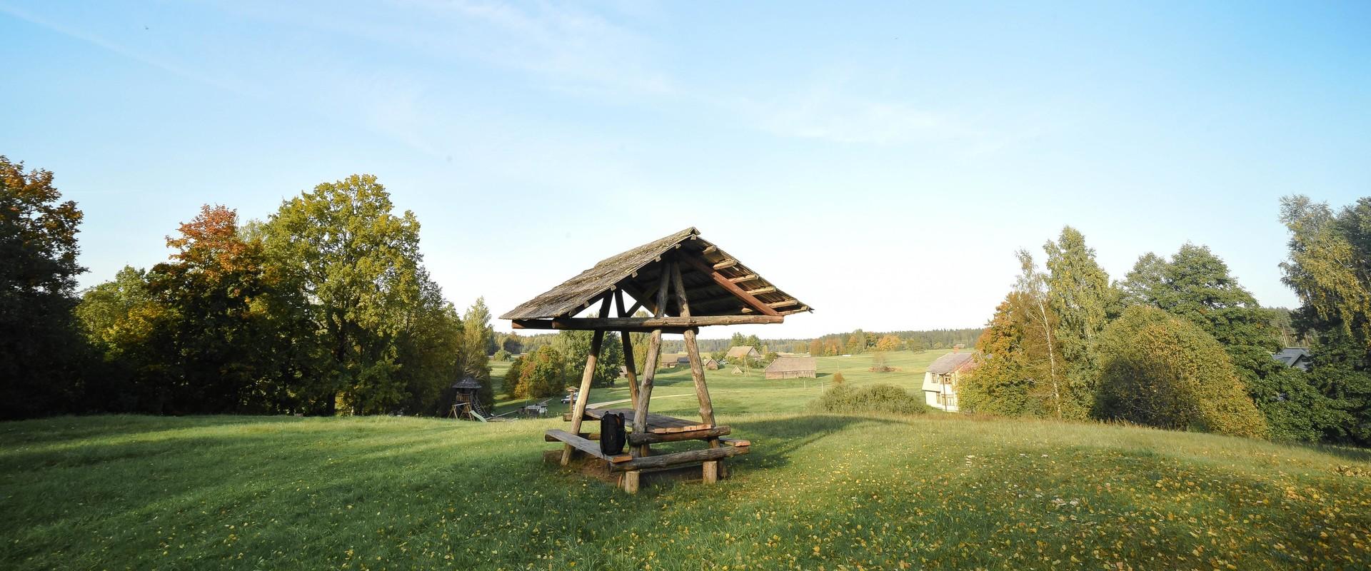
Popular destinations include the Rebäse hiking trail, Lüllemäe observation tower, and Kaika hillocks, which offer a great view of the rolling landscape. The national park has plenty of camping and bonfire sites, as well as natural swimming spots, making it suitable for both day trips and longer vacations.
Mugavused

  • Information boards
  • WC
  • Free parking

Часы работы

Круглый год

Ööpäevaringselt

Контакты

  • +372 511 0658
  • info.karula@rmk.ee

Ссылки

rmk.ee

Подробнее

  • Lookout towers
  • Hiking Trails

Estonian-Latvian joint cultural heritage trail

An exciting hiking trail runs along the banks of the Koiva River, which borders Estonia and Latvia. You can discover points important to both countries' cultural heritage along the trail! The trail is 22 kilometers long, so there and back comes to 44 kilometers. The trail introduces old Estonians' way of life and offers the opportunity to get acquainted with historical heritage in the middle of nature. The trail includes, for example, Taheva Manor, a windmill, the ruins of a hay barn, and ancient trees. There are several campfire sites and camping sites. The trail is signposted and equipped with information boards in Estonian, Latvian, and English, and it can also be completed by bike.

  • Hiking Trails

Sangaste forest park trail

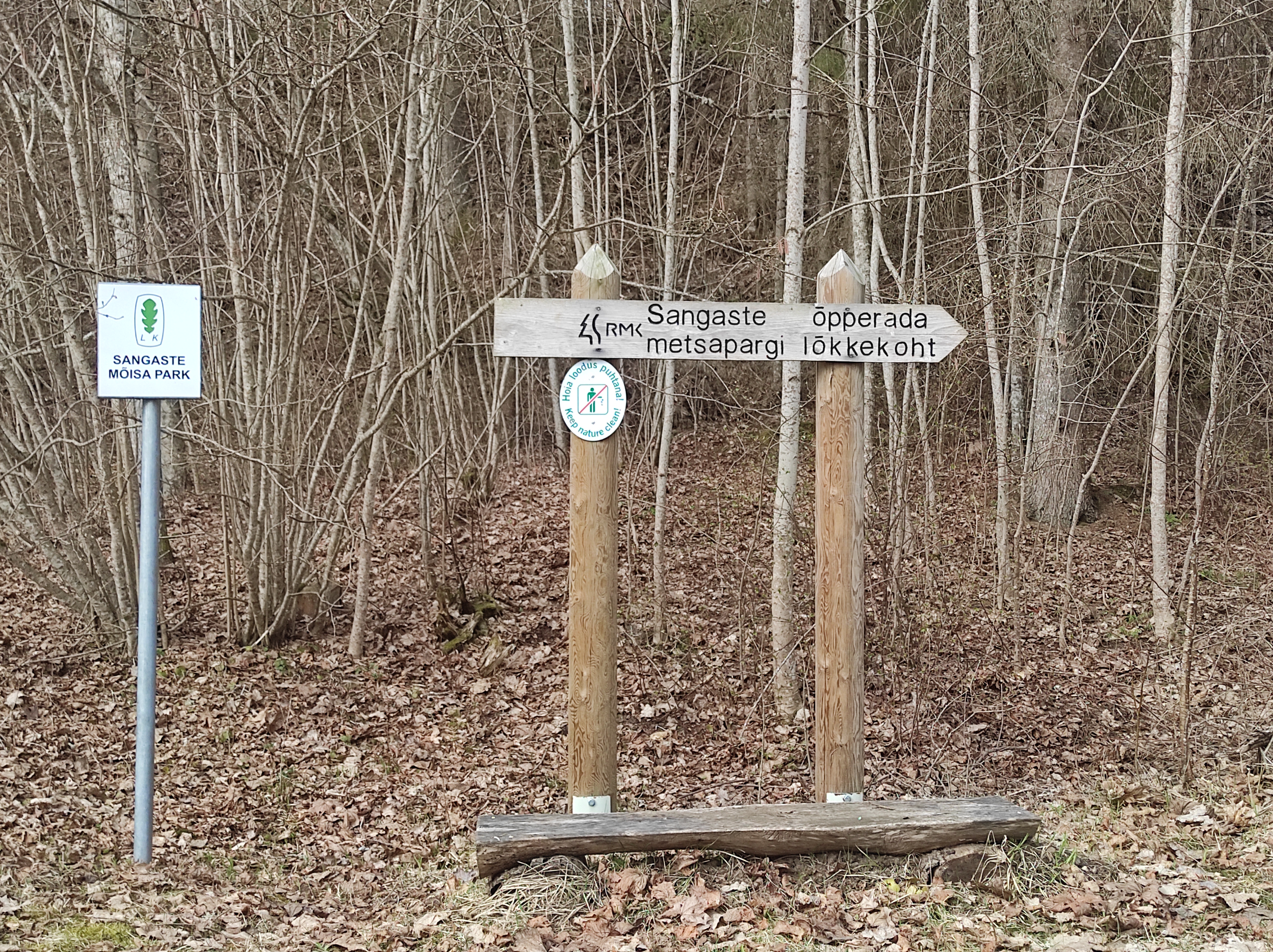
The 3-kilometre-long Sangaste forest park trail is located in Kiidjärve-Kooraste Recreation Area and starts from the forest park behind the Sangaste Castle.The trail introduces the forest park, founded by Count Friedrich Magnus Berg, where nearly a few hundred different species of trees and shrubs are represented. The trail has signs, stairs, bridges, and information boards that introduce the forest park and the various species of trees. There's also a campfire site on the trail with a fire pit, benches, a toilet, and a wood shed, which can also be used as a shelter.Interesting fact: Estonia's tallest, a 42-metre-tall Douglas tree grows in the park. It's possible to visit the Sangaste Castle during opening hours.

  • Hiking Trails

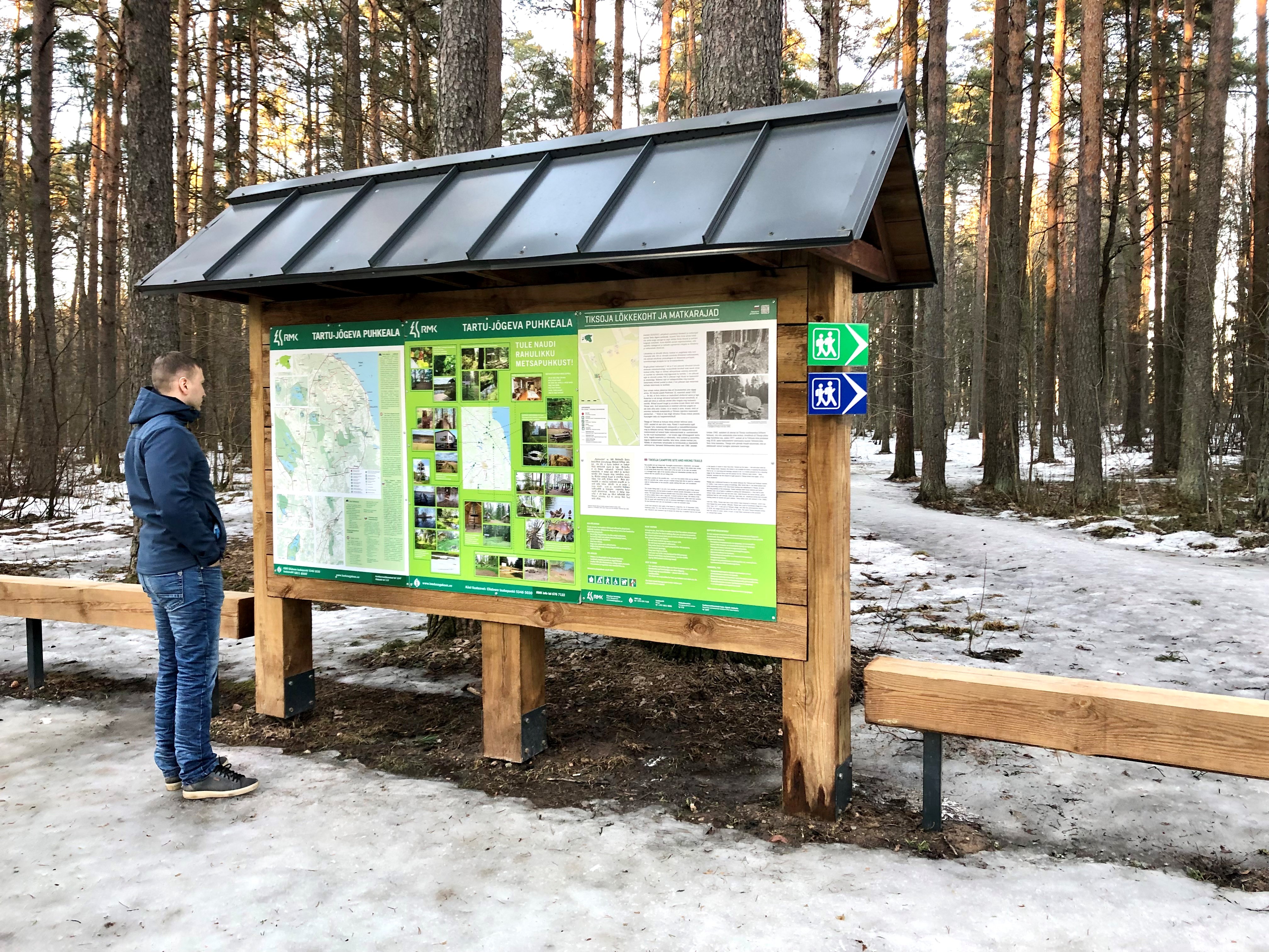
Tiksoja hiking trails and campfire sites

The Tiksoja hiking trails located near Tartu are suitable for families, amateur athletes and dog owners. The 1-2km circle-shaped trails start from the Tiksoja campfire site parking lot. The versatile trails run along forest paths. The 700-meter trail with compacted gravel cover you will be able to walk with a baby carriage or wheelchair. The 1-kilometre trail features activity areas for children and a fenceless area for dogs, the 2-kilometer trail features an outdoor gym. The trails are characterised by various bridges and crossings, a boardwalk and information boards located at interest points.You can rest at the Tiksoja campfire site with two roofed bench-tables and campfires with grilling griddles.

  • Hiking Trails
  • Birdwatching

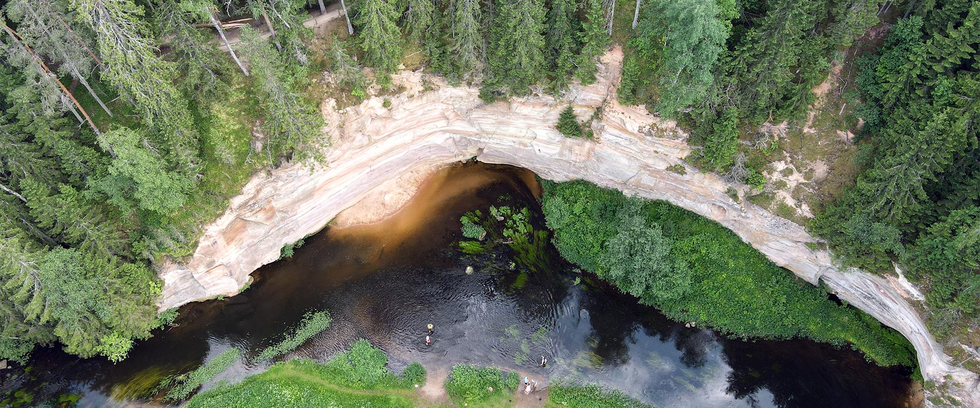
Large and Small Taevaskoda sandstone outcrops

The two Taevaskoda outcrops on the banks of the ancient valley of the Ahja River are one of the most frequently visited sites in southern Estonia. The sandstone outcrops and the ancient river form the most beautiful part of the Ahja River Landscape Reserve. Legends speak of caves, secret passageways and of demons and a mermaid with a golden comb. A walk from the Saesaare dam to the Small Taevaskoda outcrop, the Emaläte spring, the Neitsikoobas cave and the Large Taevaskoda outcrop, which rises 22.5 metres above the river, is worth undertaking in every season. The beautiful and exciting natural setting attracts hikers – it is a place that every Estonian visits at least once in their life!

  • Hiking Trails

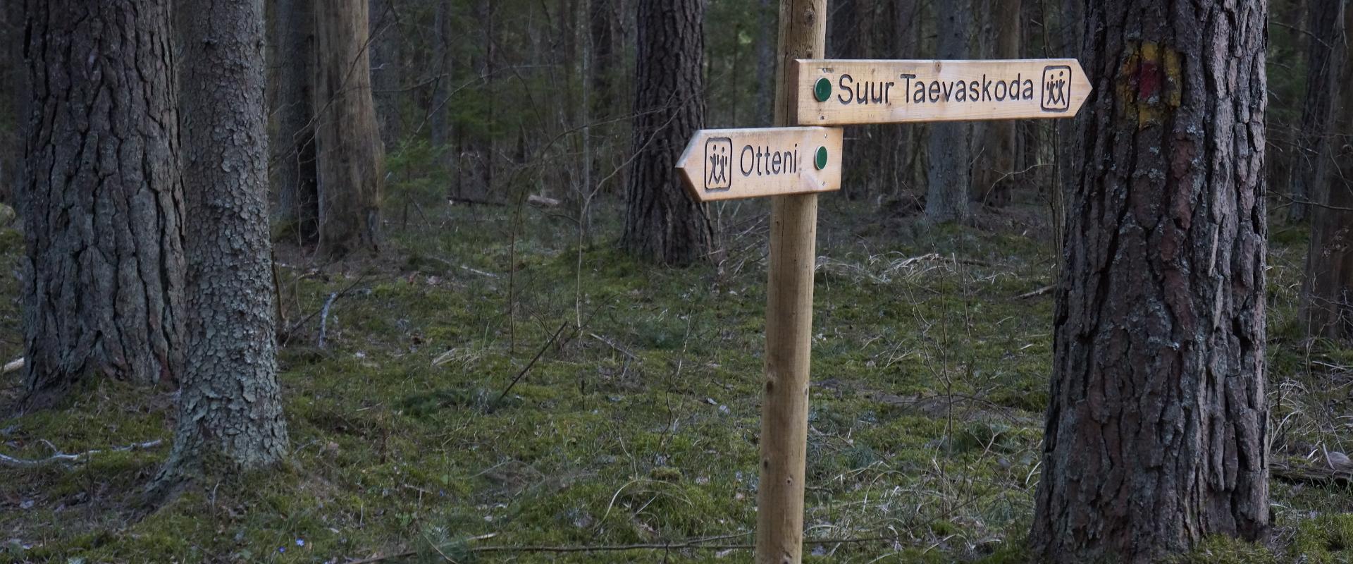
Taevaskoja–Otteni–Taevaskoja hiking trail

The hiking trail, which starts from Suur Taevaskoda, runs on the high banks of the Ahja River and on the tracks of the menu film The Last Relic. Suur Taevaskoda, the partially preserved Otten or Valgesoo watermill complex, the two-vaulted Otten mill bridge, and the miniature canyon, which became famous thanks to the film The Last Relic, picturesque views of the Ahja River, and a pit of a forest brothers' bunker can be seen on the hiking trail. The trail is marked with green colour on the trees and signs and there are several information boards on the trail. It is possible to camp and make a campfire at the Otten campfire site. When coming by car, the hike starts from Saesaare car park and therefore, the trail is about 2 km longer.

  • Hiking Trails

RMK Kiidjärve–Taevaskoja–Kiidjärve hiking trail

The hiking trail starting from Kiidjärve Visitor Centre runs along the banks of the picturesque Ahja River, where you can easily see different sandstone banks (Sõnajalamägi, Palanumägi, Oosemägi, Laaritsamägi, Mõsumägi, etc.). The trail runs along one shore to the Saesaare dam, over the bridge, and back along the other shore. The trail passes through Sõnajala campfire site, where you can pitch a tent. The trail also passes through the Roiupalu study trail campfire site.A map of the hiking trail can be obtained from the RMK Kiidjärve Visitor Centre.At times, the hiking trail runs along high shorelines and there are steep ascents. Please be careful!

  • Hiking Trails

Laari Forestry Study Trail

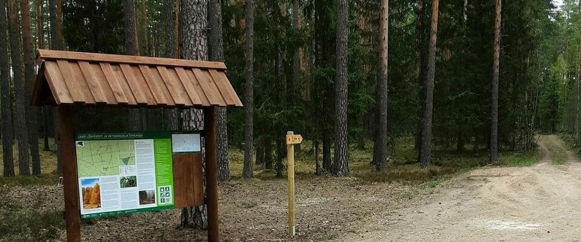
The 3-km-long circular forestry study trail, starting at Laari campfire site, is suitable for a peaceful walk for holidaymakers at the campfire site, nature lovers, and hikers with pets.The trail is very diverse - it runs along the paths and trails of the bright pine forest, the mysterious pine forest, and the eye-catching birch forest, over the Lambiniidu and a ditch, over which wooden bridges have been built.The trail is marked with signs and red dots on trees, the information boards on the trail introduce the surrounding nature and the different ways of forest management.

  • Hiking Trails

The Emajõgi study trail

The Emajõgi study trail is located a short drive from the city of Tartu and offers an experience for hikers and nature lovers. The circular study trail winds along the banks of the Emajõgi River, taking you into the surrounding greenery. Information boards along the trail provide details about the local flora and fauna, as well as the significance of the river to the Estonian landscape. The trail is well-maintained and easily accessible, making it suitable for everyone. The hiking trail has resting places, camping facilities, and a floodplain observation platform. The first 700 meters of the boardwalk are 1.2 m wide and are also suitable for those with strollers or wheelchairs. Come and discover the peace and charm of the Emajõgi study trail!

  • Privacy Policy

"*"обозначает обязательные поля

Это поле используется для проверочных целей, его следует оставить без изменений.
Я разрешаю маркетинг