• Avasta
    • Еда
    • Природа
    • Культура
    • Семья
    • Спорт
    • Сообщество
    • Блог
  • Planeeri
    • Размещение
    • Информация
    • Varamu
RUS
  • РусскийRUS
  • EestiEST
  • EnglishENG
  • LatviešuLAT
  • SuomiFIN
RUS
  • РусскийRUS
  • EestiEST
  • EnglishENG
  • LatviešuLAT
  • SuomiFIN
Populaarsed otsingud:
Näita kõiki tulemusi
  • Nature and Activities
  • Nature
  • Hiking Trails
  • Birdwatching

Tamme Outcrop hiking track

Elva vald, Tartu maakond, 61114

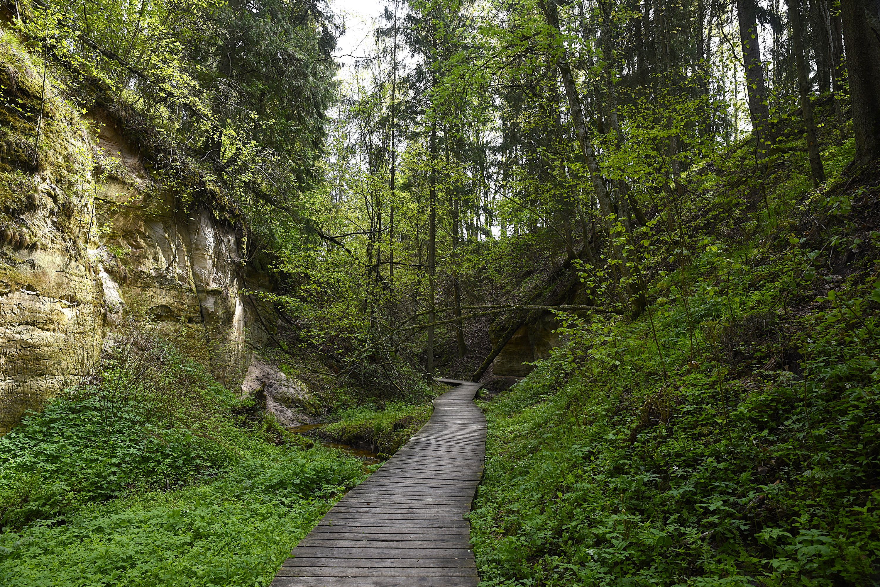
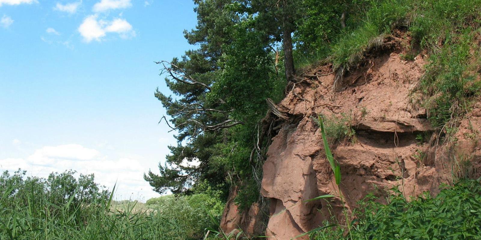
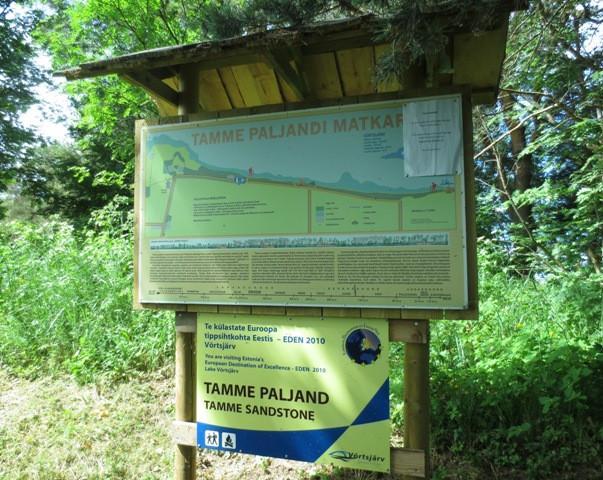
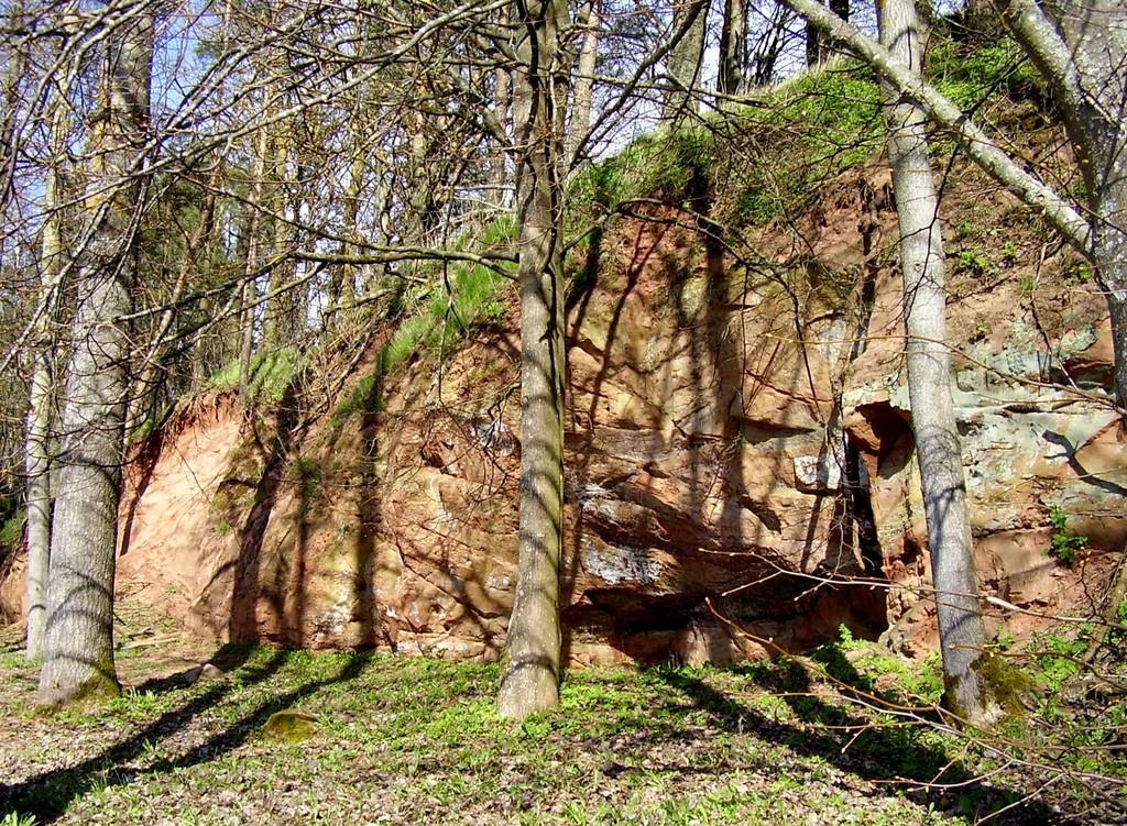
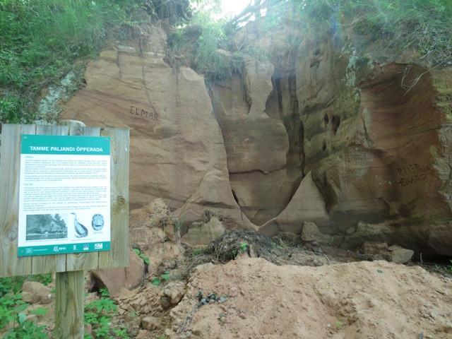
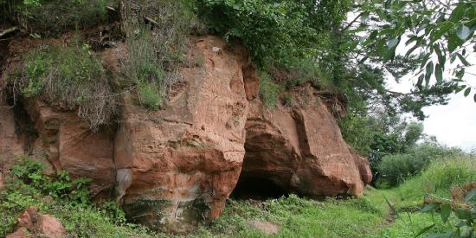
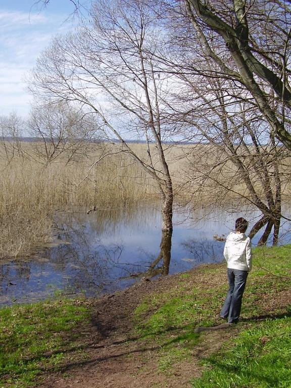
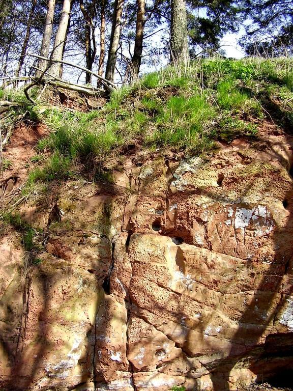
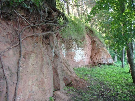
Tamme Outcrop hiking track is located on the eastern shore of Lake Võrtsjärv between the villages of Tamme and Neemisküla in Elva municipality. The area is rich in Devon sandstone outcrops from the Aruküla layer. Tamme Outcrop, which is located on the track, is an area where placoderms have been found and where valuable paleontological material has been collected since the second half of the 19th century.Ten information boards have been set up along the hiking track, which is almost 2 km long. They provide interesting information about the local natural environment. If you walk 1 km north on the track, you can turn back and hike back along a field or on a forest trail on the outcrop.
Mugavused

  • Information boards
  • Free parking

Lahtiolekuajad

Aastaringselt

Ööpäevaringselt

Kontakt

  • +372 524 2702
  • turism@elva.ee

Lingid

visitelva.com

Vaata lisaks

  • Lookout towers
  • Hiking Trails
  • Birdwatching

Valgesoo watchtower

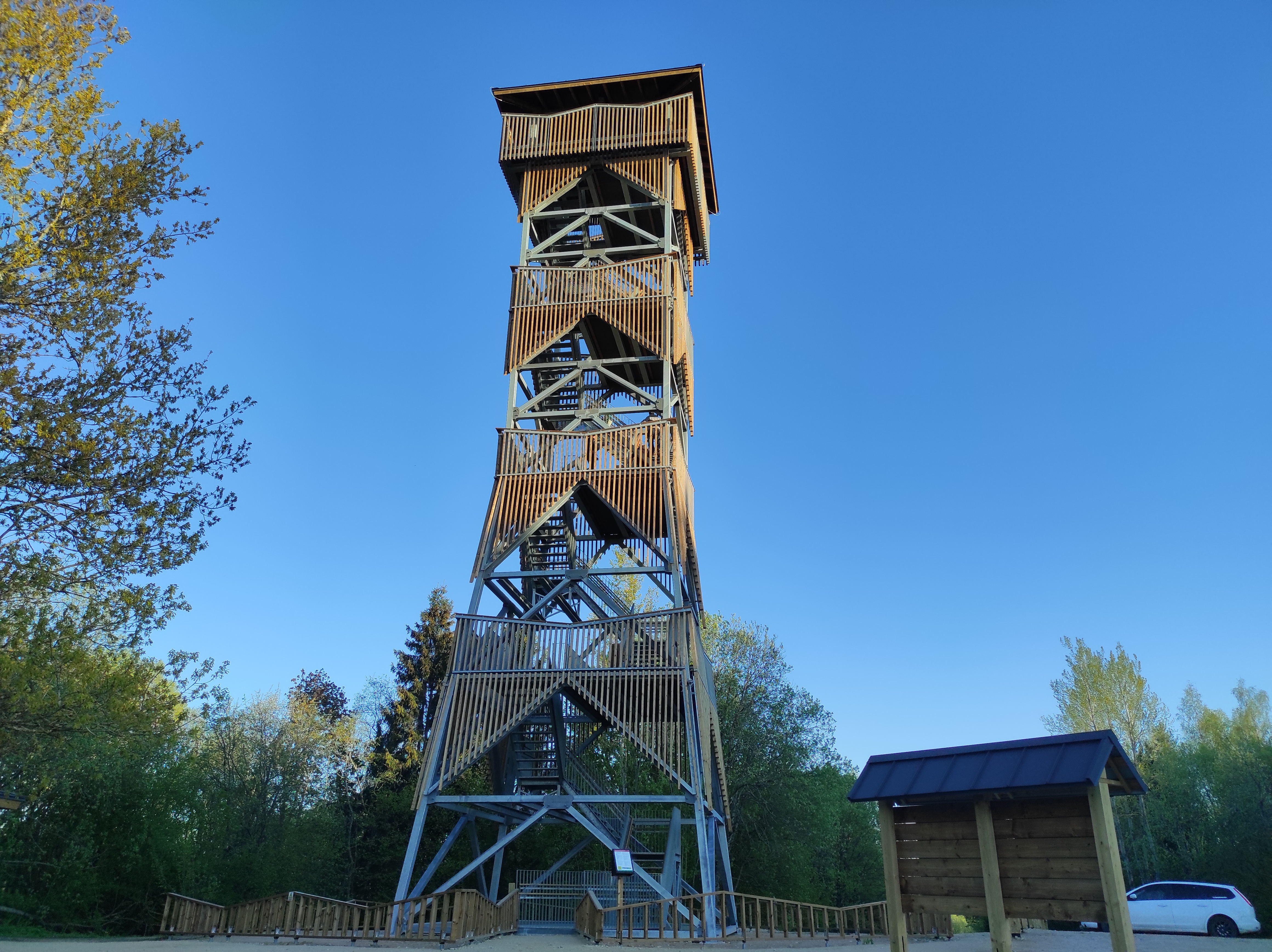
The Valgesoo watchtower is located in the Valgesoo bog, which represents one of the 21 places worth discovering in South Estonia and is recommended for all nature enthusiasts.With its eye-catching design, the watchtower overlooks the Valgesoo bog, the pristine-looking primeval forest, and the Baron's pine forest (Parunimännik) and the study trail that runs through it. The 29.7 m high metal watchtower has three intermediate platforms, the last of which is 23.8 m high, with a wind screen and seat benches in the centre. The State Forest Management Centre's campfire site and camping area for up to five tents are nearby.

  • Lookout towers
  • Hiking Trails

Estonian-Latvian joint cultural heritage trail

An exciting hiking trail runs along the banks of the Koiva River, which borders Estonia and Latvia. You can discover points important to both countries' cultural heritage along the trail! The trail is 22 kilometers long, so there and back comes to 44 kilometers. The trail introduces old Estonians' way of life and offers the opportunity to get acquainted with historical heritage in the middle of nature. The trail includes, for example, Taheva Manor, a windmill, the ruins of a hay barn, and ancient trees. There are several campfire sites and camping sites. The trail is signposted and equipped with information boards in Estonian, Latvian, and English, and it can also be completed by bike.

  • Hiking Trails

Kirna hiking trail

Kirna’s 6.8 km study trail provides a good opportunity to explore the Pedja River meadows and forest. To gain a better view of the meadows and river, the Altmetsa Farm has an observation tower. A suspension bridge helps to cross the river. On the right bank of the Pedja River, you will find the magnificent oak tree Musutamm. The trails of wild boars and beavers can also be seen on the study trail.While on the trail, you might hear gunfire as the Kirna Training Centre of the Defence League is close by. The access roads to the meadows intersect the study trail in several places, please carefully follow the trail marking!

  • Family friendly
  • Lookout towers
  • Hiking Trails

Ööbikuorg valley and Rõuge lakes

The Rõuge primeval valley, which is 10km long and 52m deep, contains seven lakes: Kahrila Lake, Tõugjärv, Ratasjärv, Kaussjärv, Rõuge Suurjärv, Liinjärv, and Valgjärv. The lakes are connected by the Rõuge or Ajo River, which starts from the Tindi valley. The side valleys of the Rõuge primeval valley are Tindi, Külm, Mõhk, Ööbikuorg, Tinopeetri, Hinni, Sikasoo, and Järveotsa valleys. The most famous of these is Ööbikuorg, which borders the ancient hillfort from the north. In spring, during the blossoming of bird cherry trees, the valley resonates with the song of nightingales – hence the name of the valley. Several hiking trails run through Rõuge, including the popular Ööbikuorg hiking trail, which takes visitors through the primeval valley, past lakes and springs. The trail is suitable for families with children and is partially accessible by bicycle. In summer, you can swim and paddle in the lakes, while in winter, the same trails are enjoyed by skiers and sledders. In the Rõuge settlement, there is also Estonia's deepest lake – Rõuge Suurjärv (38m) – and the largest Nature Clock in Estonia, whose hands mark the passage of time in nature's rhythm.Good to know: At the edge of Ööbikuorg, there is a visitor center and the Pesapuu observation tower, which offers a view of the entire valley.

  • Hiking Trails

Pikalombi nature trails

The trails have two possible starting points: in the parking lot of the Värska Sanatoorium or in the point on the side of Värska Sanatoorium across Värska Bay. The Pikalombi nature trails are 3.8 and 9.1 km long. The nature trails can be passed in autumn, spring and winter and on foot as well as by bicycle. On the boarded trail through the Velna bog the bicycle shall be pushed by hand. Good to know: There are 11 trail points along the trail. Point no. 6 lies by beautiful Lake Saarepää, offering an opportunity to make a fire and to have a longer break.

  • Hiking Trails

Padakõrve Hiking Trail

The hiking trail runs along a gravel road in a forest and introduces the life of ants. There are information boards next to the gravel road, as well as signposts near the ant colonies. The trail can also be explored in a vehicle. The 3.6 km trail starts at the information board at the roadside.The hiking trail is located in Padakõrve Nature Reserve. Its most important values include one of the largest populations of Scottish wood ants, diverse forest communities, and a multifaceted landscape. The purpose of the protected area is to protect the Scottish wood ants, as well as other protected species and their habitats, the forest communities, and the Kärgandi kame field.

  • Camping sites
  • Lookout towers
  • Hiking Trails

Meenikunno hiking trail

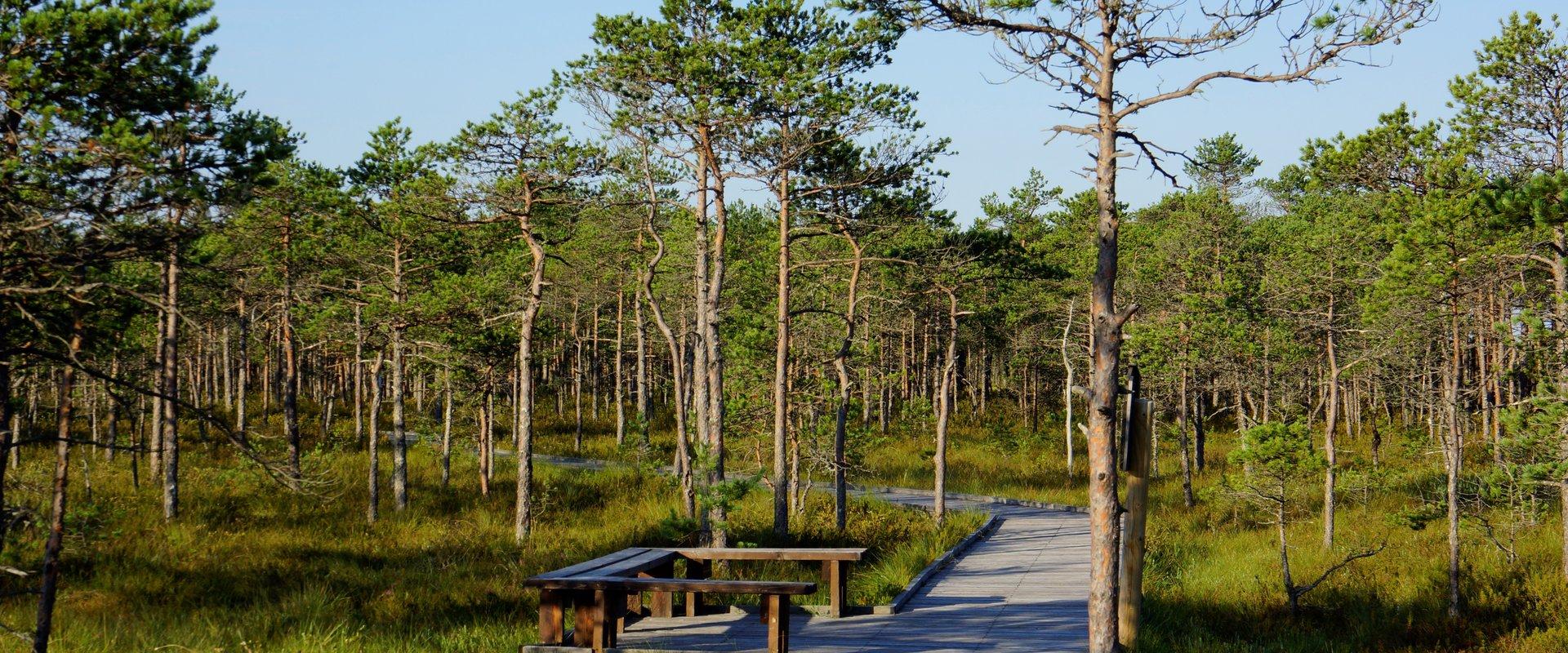
Cabins for hikers, an observation tower and a boardwalk attract many nature lovers to the Meenikunno bog. It is a beautiful recreation area. While walking down the boardwalk, you can see the most common bog plants: leather leaf, bog rosemary, crowberry, Marsh Labrador tea, and tussock cottongrass; at the edge of the bog, dwarf birches can also be found. There are also a number of different species of peat moss of various colours. The bravest hikers can try drinking bog water (it has an interesting taste!) from the overgrown ditch near the edge of the bog.Good to know: The boardwalk is pram and wheelchair accessible.

  • Hiking Trails

Lake Verijärv nature studies trail

Lake Verijärv nature studies trail is around 1 km long and has 9 information boards showcasing plants, trees, bushes, birds and animals. The trail runs through the Lake Verijärv ancient valley and wood. There are signs along the trail as well as three barbecue areas with benches.There are various legends about Lake Verijärv. It is said that the lake got its name centuries ago when slaves were punished in the old cellar that stood on the shore and their blood turned the water red. Another legend speaks of the nasty lord of Kasaritsa Manor, who was drowned by his coachman with his carriage and horses while driving home one night.

  • Privacy Policy

"*"обозначает обязательные поля

Это поле используется для проверочных целей, его следует оставить без изменений.
Я разрешаю маркетинг