• Explore
    • Nature
    • Culture
    • Food
    • Family
    • Activity
    • Blog
    Smoke sauna
    Weather and seasons
  • Plan
    • Accommodation
    • How to get here
    • Weather and seasons
    • Sustainability
    • Tourist info
    Discover South Estonia’s Most Beautiful Manors and Castles
    Top 20 Sights in South Estonia
  • For professionals
    • For professionals
    • Collaboration
    • News
    • Projects
    • Training
    • Repository
    • Community (opens in new tab)
    • Contacts
ENG
  • EnglishENG
  • EestiEST
  • LatviešuLAT
  • РусскийRUS
  • SuomiFIN
ENG
  • EnglishENG
  • EestiEST
  • LatviešuLAT
  • РусскийRUS
  • SuomiFIN
Popular searches:
Show all
  • Nature and Activities
  • Nature
  • Hiking Trails

Pullijärve hiking trail

Pullijärve tn 1, Rõuge vald, Võru maakond, 65001

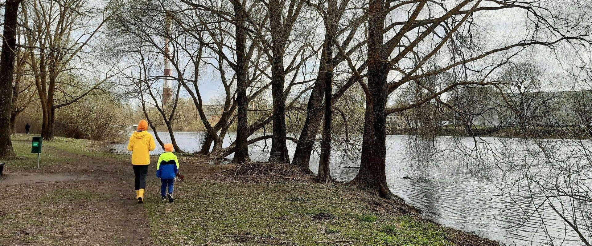
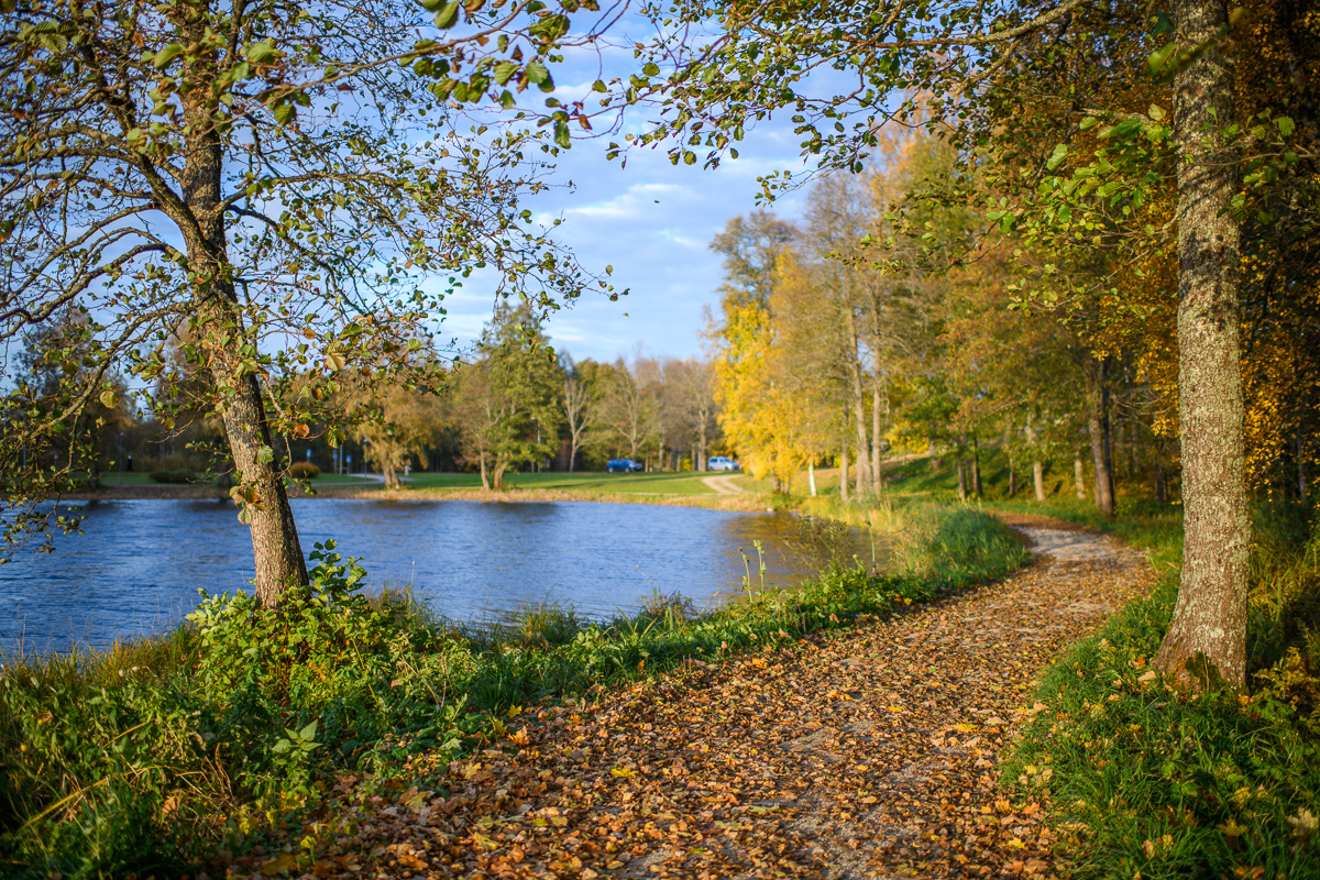
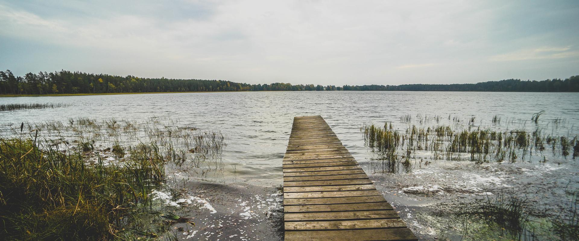
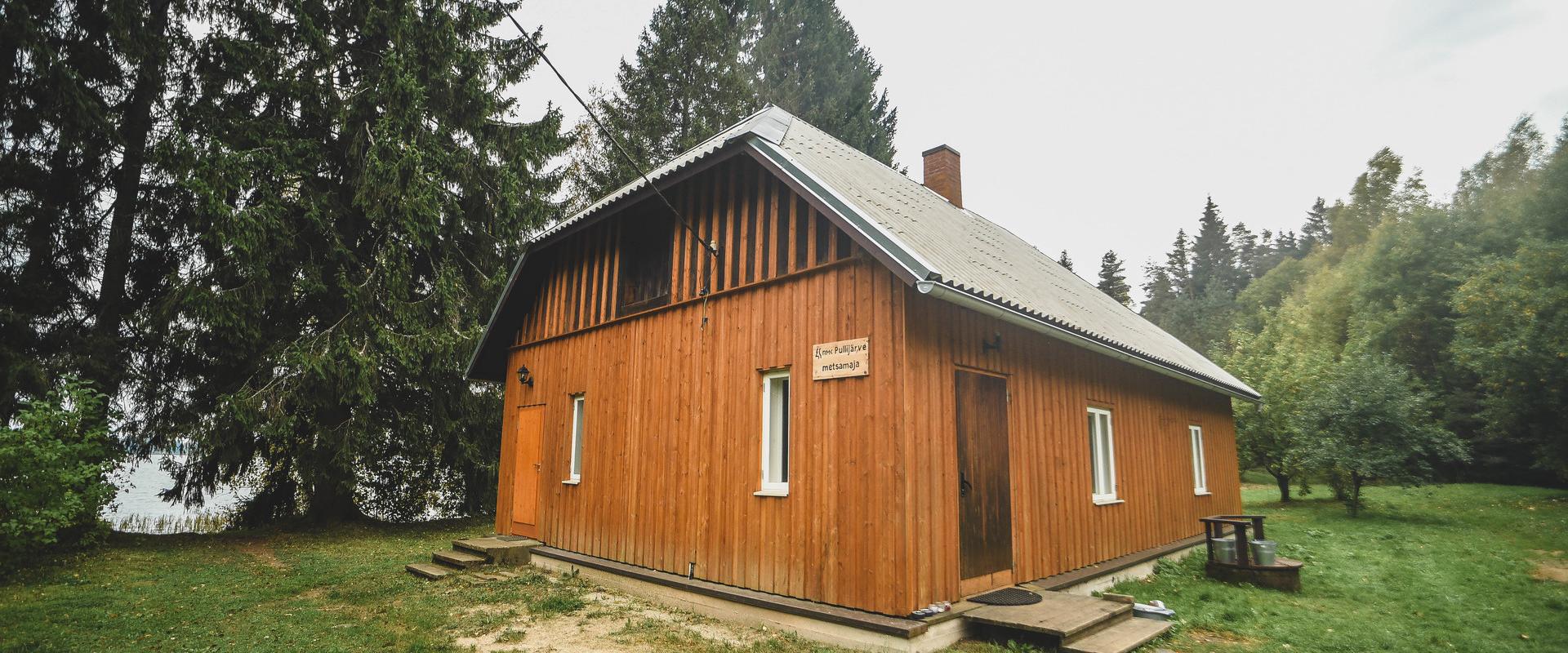
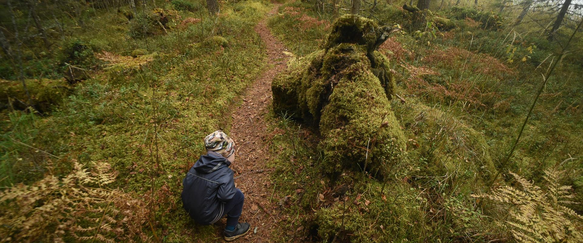
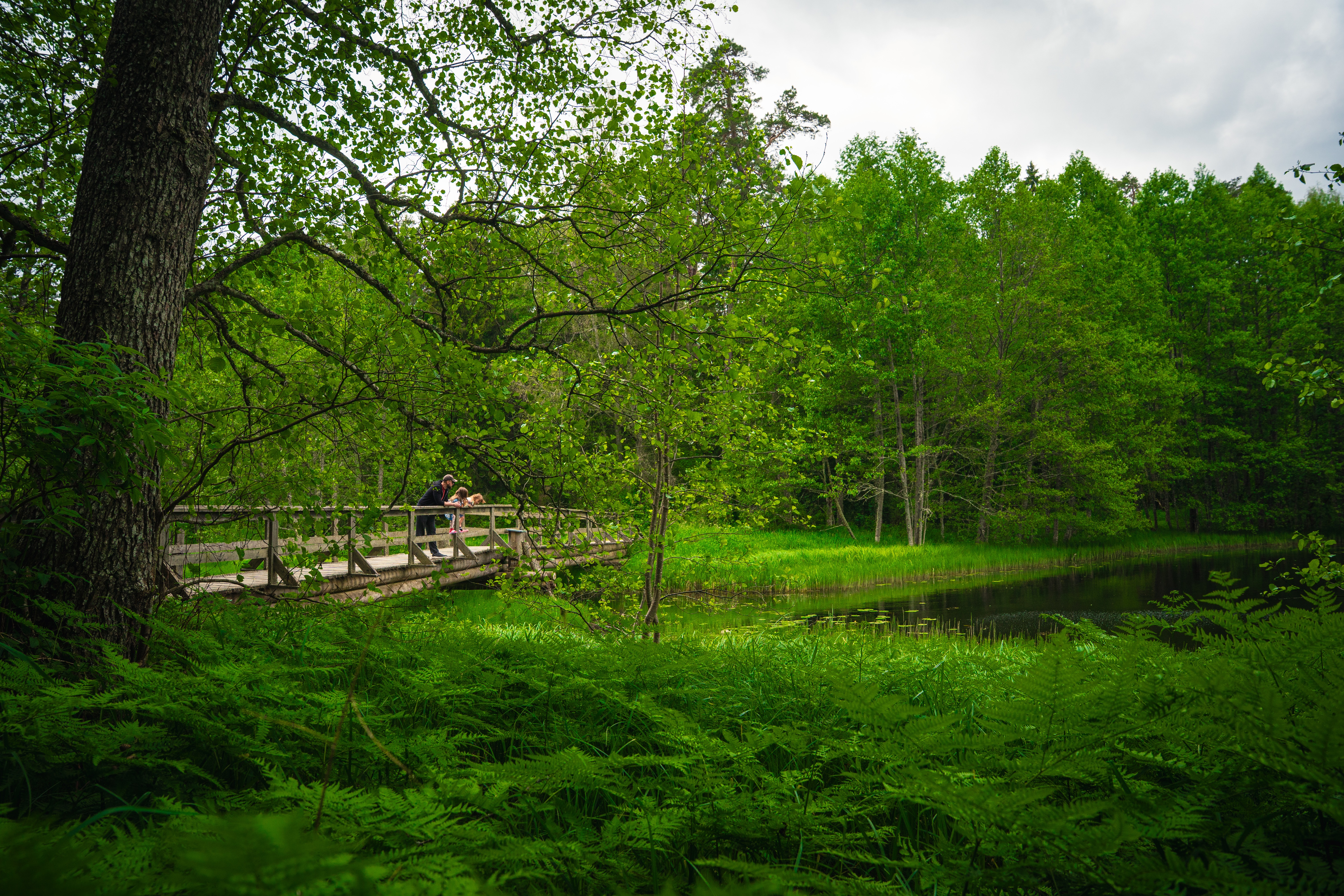
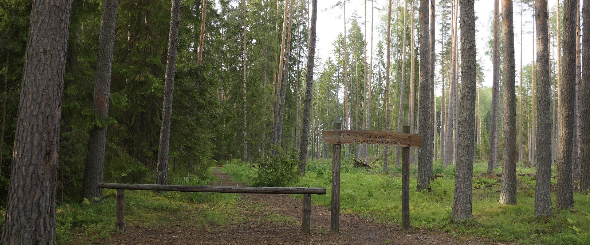
Located next to the community of Misso, Pullijärv is a nice place to spend some time.  If you don’t feel like swimming, you can hike around the lake: the 3.6-kilometer-long trail is just the right length for the whole family. The trail rises here and there too: boys used to do ski jumps from its highest point onto the lake in winter.The trail begins and ends at the RMK Pullijärv rental hut, which is located on the north shore of the lake. In spring and fall, the trail can be really wet.
Amenities

  • Information boards
  • Free parking

Open times

Throughout the Year

Around the Clock

Contact

  • puhkus@rmk.ee

Links

See more

  • Camping sites
  • Hiking Trails

Soontaga hiking trail

The Soontaga hiking trail is located at Kiidjärve-Kooraste recreation area. The hiking trail runs along the typical Southern Estonian mixed forests and arrives at the Väike-Emajõgi river. The hiking trail, which can be completed on foot, runs in a circle.There are several information boards at the hiking trail, which describe the nature of the area. The beautiful bodies of water at the hiking trail are equipped with bridges. In addition to the hiking trail there is the Soontaga campsite with campfire places at the recreation area.If you visit the hiking trail during the season, you might find forest berries or mushrooms on our journey.

  • Hiking Trails

Wood Ants’ Trail of Kiidjärve

Among the approximately 1 km study trail introducing the life of wood ants, the hiker can feel like a giant in the minuscule world of ants. In an area of 20 hectares there are 200 ant hills, the biggest of which is 1.7 m high; you can also admire the record-high spruce (42 m). The trail has signs, information boards, and bridges crossing ant highways.The trail is for walking only. While hiking on the trail near ant hills, use only the bridges installed there. The Laari forest study trail starts on the other side of the railway.The civilisation of ants offers an experience for both children and adults.

  • Hiking Trails

Emajõe river shore path

The 4-km Emajõe river shore path starts from the Turu bridge between River Emajõgi and Anne channel, and it runs on the Natura 2000 protection area and offers spacious views of the Anne channel, River Emajõgi, ship and boat traffic, and Karlova harbour.The hiking trail features information boards, riverside picnic areas, and several bridges, you can also meet hobby fishermen there. During spring, the path may be flooded and provides an opportunity to enjoy the views of the flooded meadow. When the trail ends, you can walk the same way back. Another option is to turn left to the gravel road, which leads to the Ihaste cycling and walking road.

  • Camping sites
  • Hiking Trails
  • Beaches

Palumägede hiking trail and campfire site

The Palumägede hiking trail is situated near Lake Pangodi, within the picturesque Pangodi Landscape Reserve, and is an ideal destination for nature lovers seeking an active holiday experience. The hiking trail offers diverse landscapes with pleasantly alternating ups and downs, adding a little excitement to the hike. The starting point of the hiking trail is conveniently located at the second parking lot of Palumägede, where you will also find an information board that gives a good overview of the surrounding nature. Clear signposts and benches along the trail make the walk particularly comfortable. The Palumägede campfire site offers a space for grilling, swimming, and camping.

  • Hiking Trails

Kütioru hiking trail

The hiking trail starts from the parking area near the Kütiorg Holiday Centre. The trail is diverse, with fairly steep and challenging terrain, so it's recommended to allow four to five hours to complete it. Along the trail, hikers get the best view of Estonia’s largest and most powerful ancient valley – Kütiorg – and can explore old mill sites and other cultural heritage landmarks. In the forested slopes of Kütiorg, there are spruce stands over a hundred years old, as well as exceptionally thick and tall aspen trees. Near the starting point of the trail, there is a campfire site equipped with a grill grate. Good to know: Part of the trail passes through private property, where dogs may roam freely.

  • Hiking Trails

Järvselja Primeval Forest Nature Study Trail

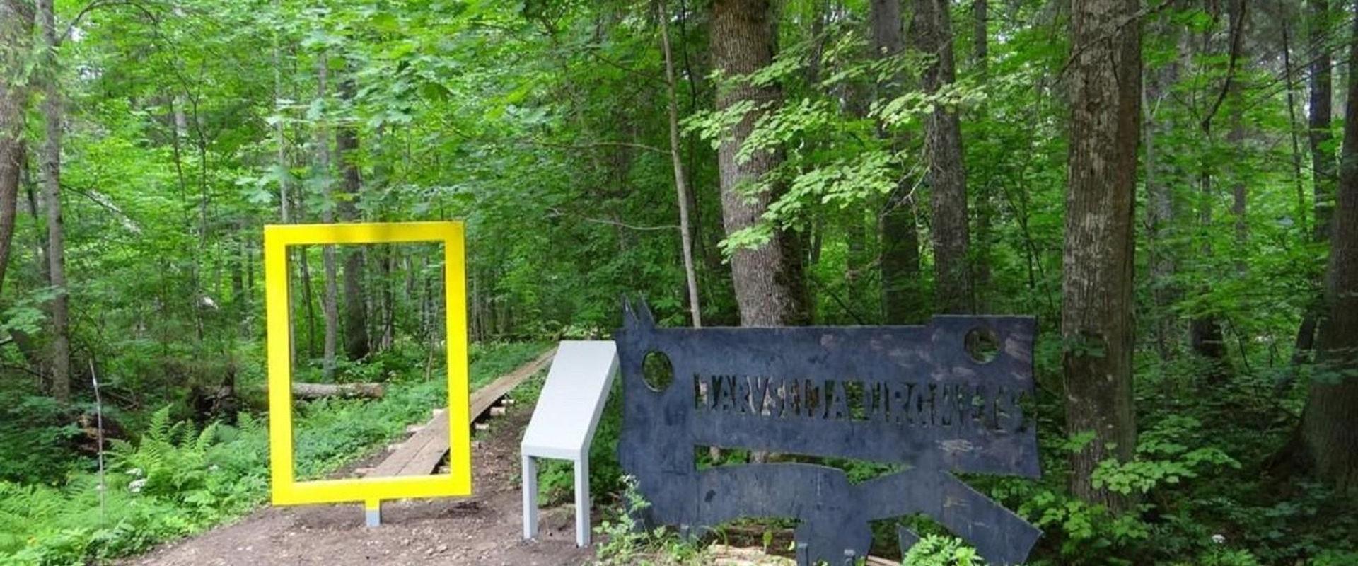
Järvselja nature study trail introduces the forest surrounding the centre of forestry and research. The trail is diverse and passes through a number of forests. Here, you will see the King’s pine (Kuningamänd), which is over 380 years old, as well as spruces that are more than 40 meters high – making them one of the highest trees in Estonia.The trail runs partly on a boardwalk and the route is 1–5 km long. A good starting point is either the Järvselja Hunting Lodge or the guest house, where there are information boards with a map of the trails.Järvselja study trail and the primeval forest represent one of the best locations to discover in Southern Estonia, marked with the yellow frame of National Geographic.

  • Camping sites
  • Hiking Trails
  • Beaches

Lake Pühajärv hiking trail

The hiking trail that encircles Lake Pühajärv starts near the centre of Otepää Nature Park. The 14 km trail takes you on a voyage of discovery around one of the most unique and beautiful lakes in Estonia. Covering the whole track takes from 3–6 hours. There are rest areas and barbecue sites along the way. Part of the track (approximately 2.2 km) runs along the Pühajärve–Kääriku exercise track by the Otepää–Kääriku highway. You can cover the track by foot or bike. Cyclists must bear in mind that there are parts of the track on which you will have to push your bike instead of riding it. The Angunina, Kiigemäe and Koolirand campfire sites are located on the trail. There, you can make a fire and camp.

  • Hiking Trails

Mustjärve hiking trail

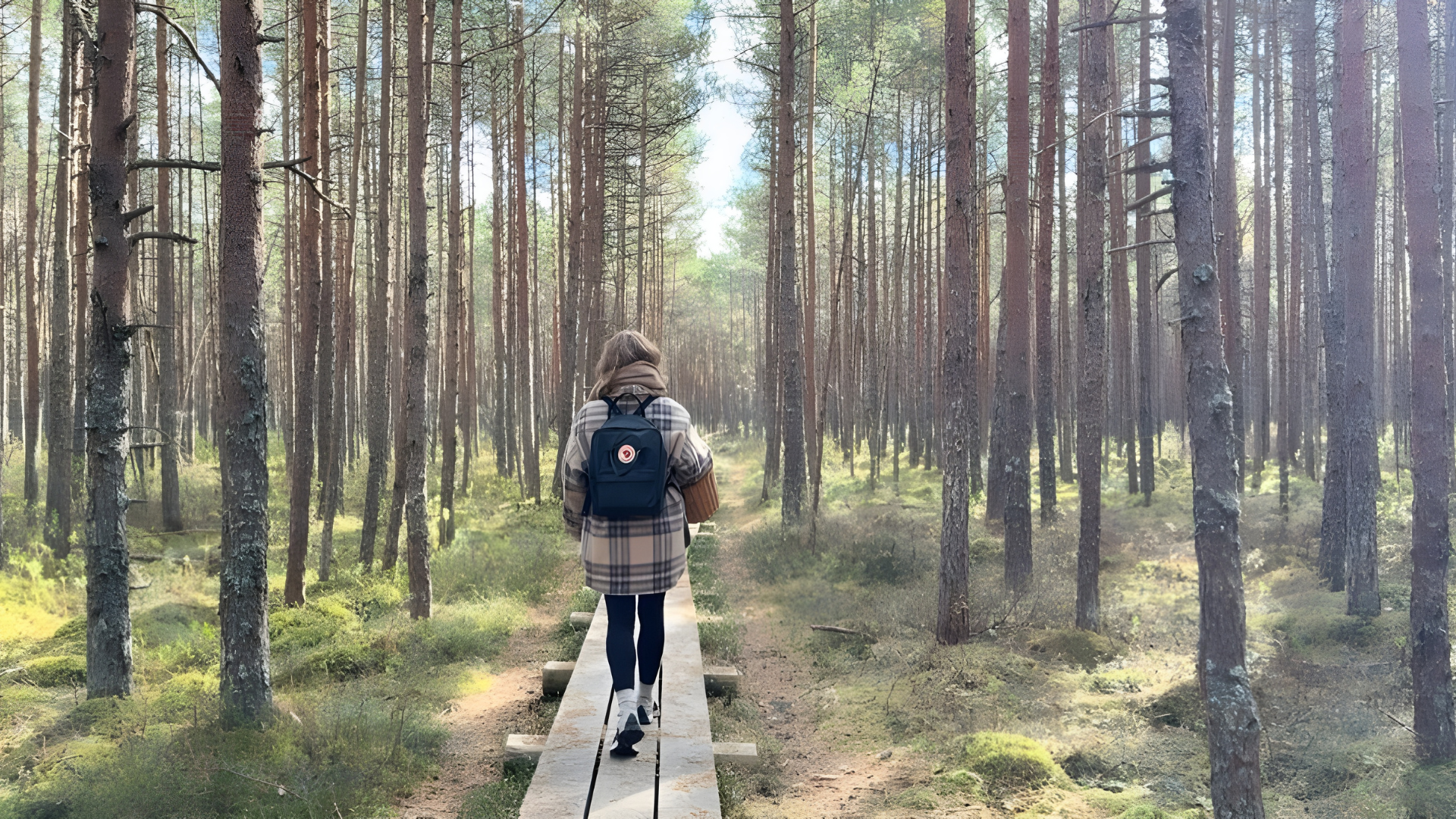
A beautiful bog lake hides in the shade of a pine forest in the northern part of the Lulli bog next to Lake Võrtsjärv. The natural lake is large (23 ha) and very shallow (there is only a metre of water here).The hiking trail starts at the information stand in the car park. Further on, the boardwalk leads directly to the water, which offers scenic views of the lake and the surrounding bog landscape. The short hiking trail (2.3 km) runs around the lake. It is impossible to get lost here, because the trail is circular and everyone finally gets back to the starting point.In the second half of the summer, cloudberries, blueberries, cranberries, and mushrooms can be picked from the surroundings.

  • Collaboration
  • News
  • Contacts
  • Privacy Policy
Join our mailing list!

"*" indicates required fields

This field is for validation purposes and should be left unchanged.
I authorise marketing

South Estonia Tourism Cluster

info@visitsouthestonia.com