• Explore
    • Nature
    • Culture
    • Food
    • Family
    • Activity
    • Blog
    Smoke sauna
    Weather and seasons
  • Plan
    • Accommodation
    • How to get here
    • Weather and seasons
    • Sustainability
    • Tourist info
    Discover South Estonia’s Most Beautiful Manors and Castles
    Top 20 Sights in South Estonia
  • For professionals
    • For professionals
    • Collaboration
    • News
    • Projects
    • Training
    • Repository
    • Community (opens in new tab)
    • Contacts
ENG
  • EnglishENG
  • EestiEST
  • LatviešuLAT
  • РусскийRUS
  • SuomiFIN
ENG
  • EnglishENG
  • EestiEST
  • LatviešuLAT
  • РусскийRUS
  • SuomiFIN
Popular searches:
Show all
  • Nature and Activities
  • Nature
  • Hiking Trails

Järvselja Primeval Forest Nature Study Trail

Kastre vald, Tartu maakond, 62506

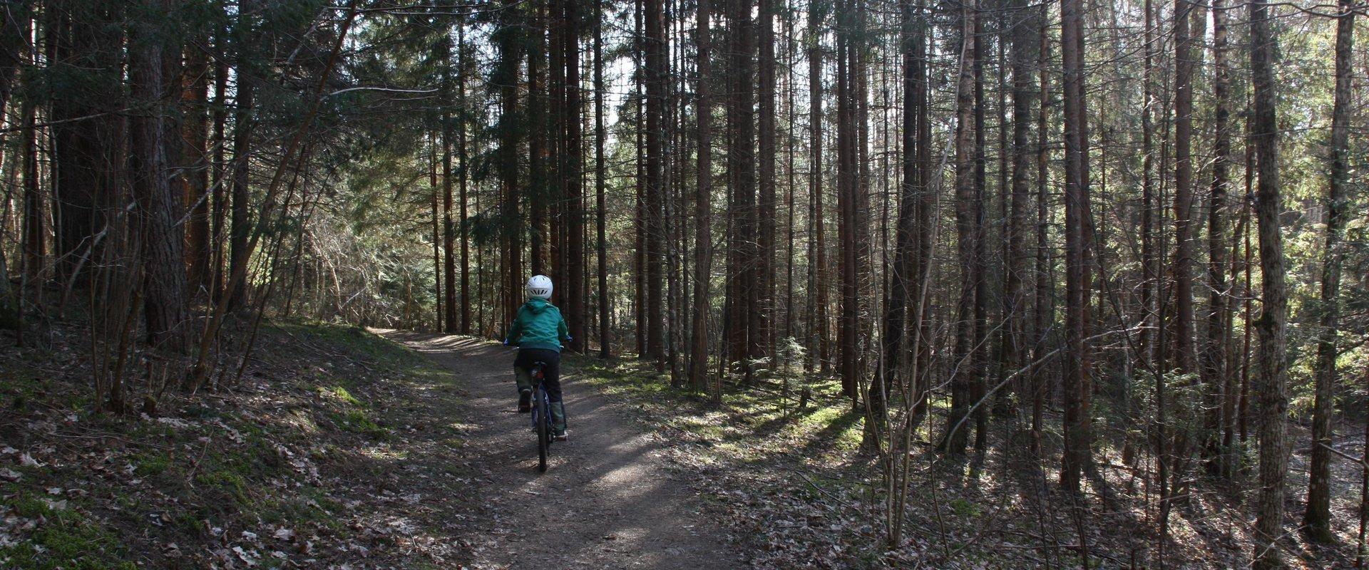
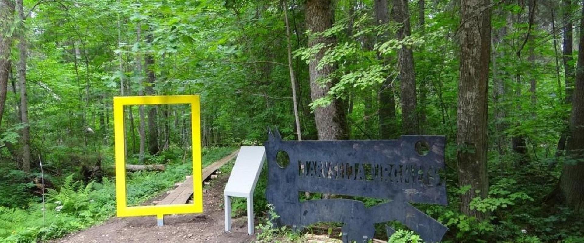
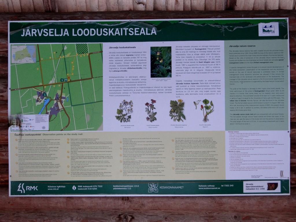
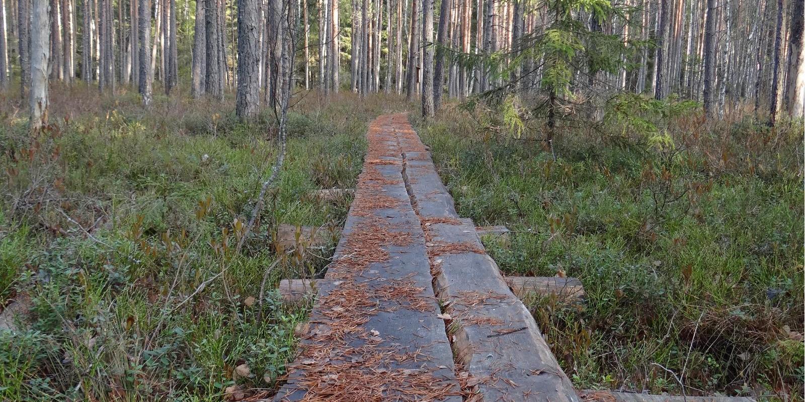
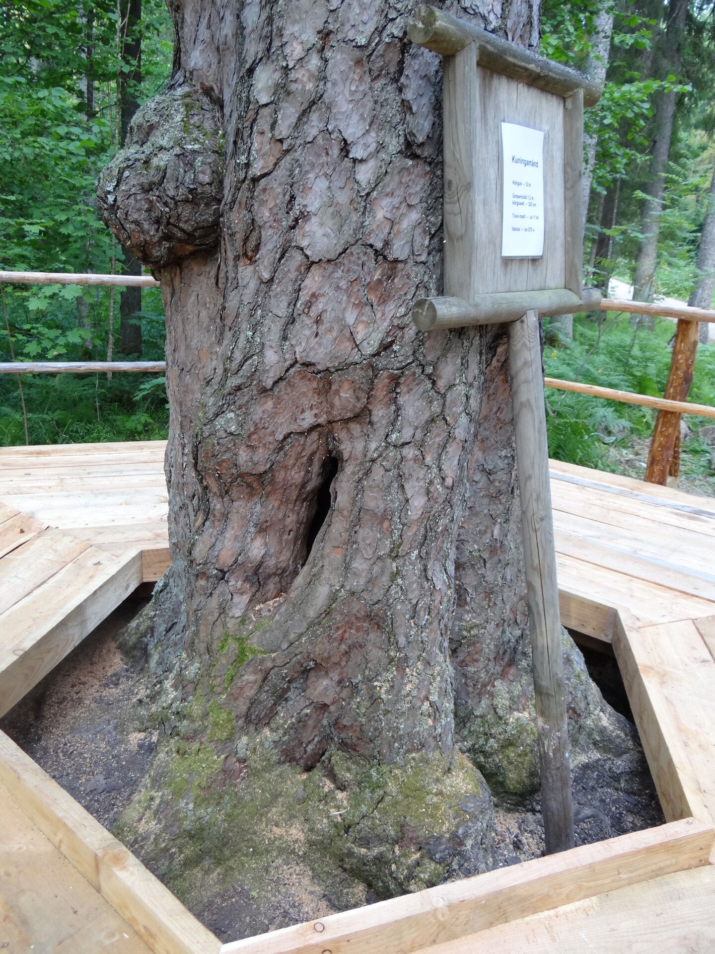
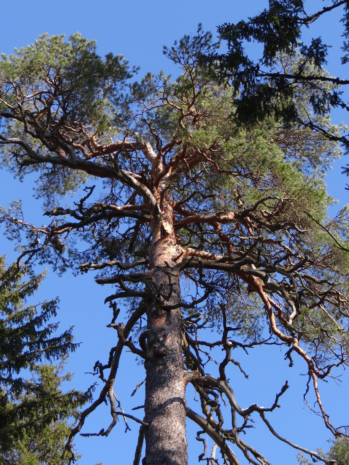
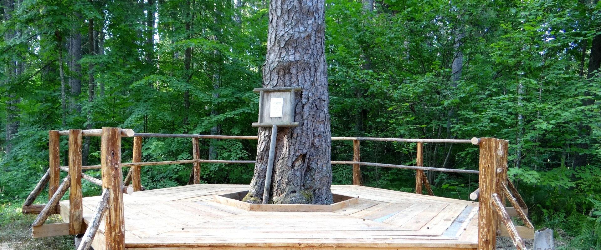
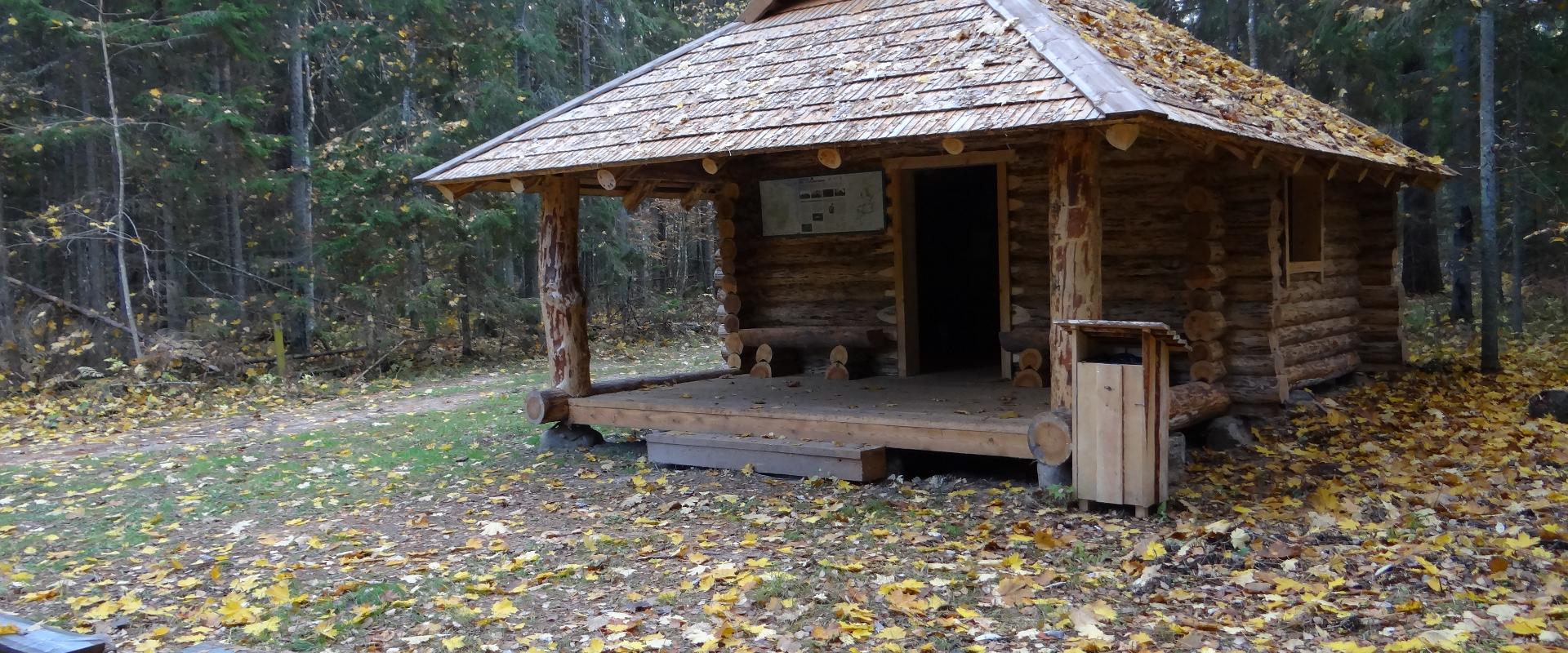
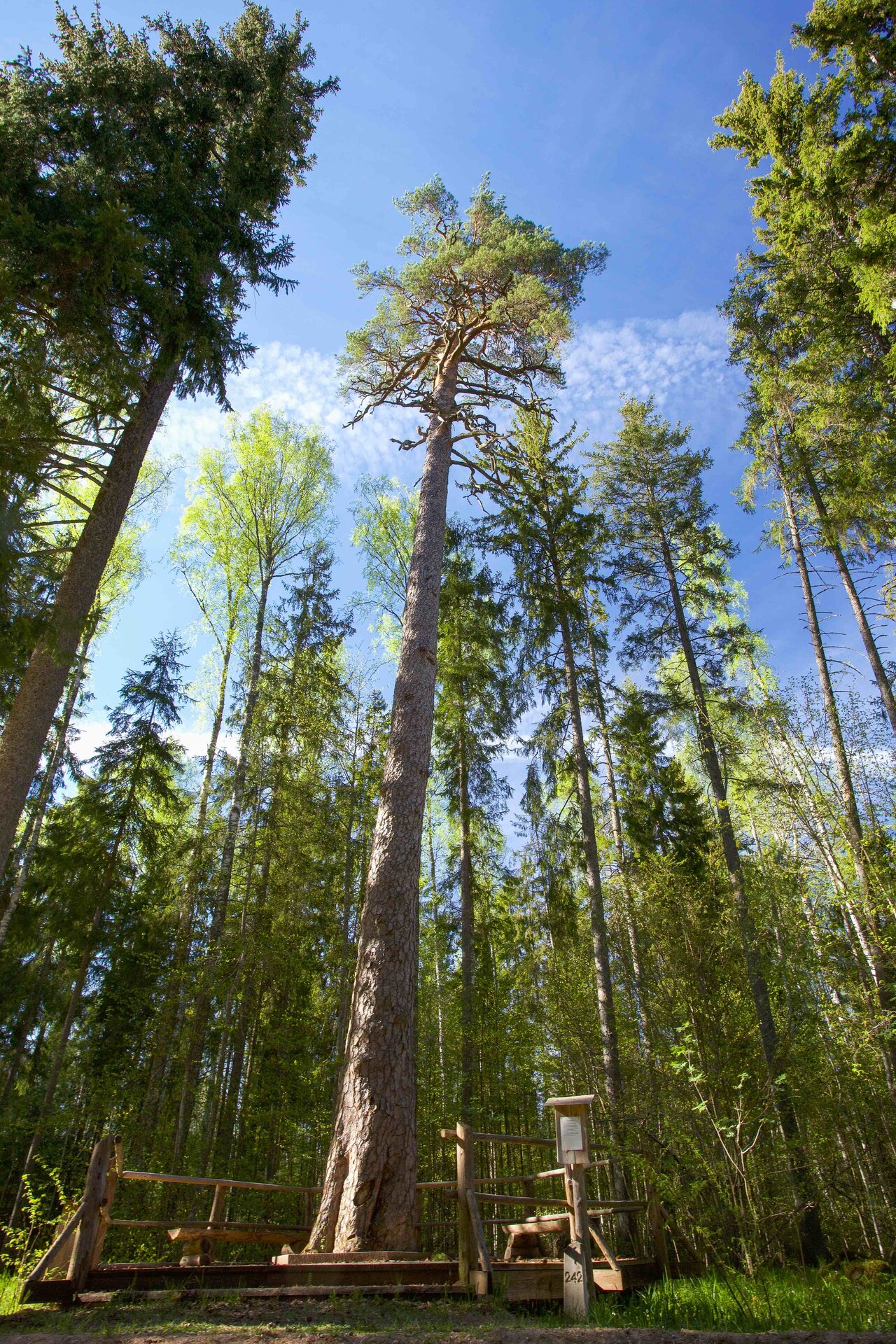
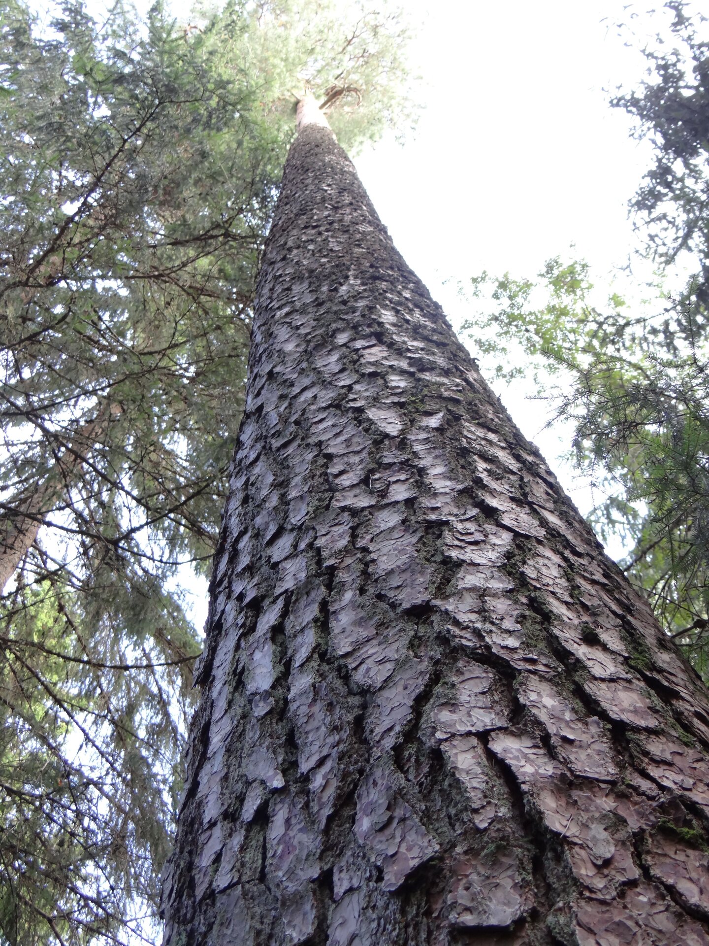
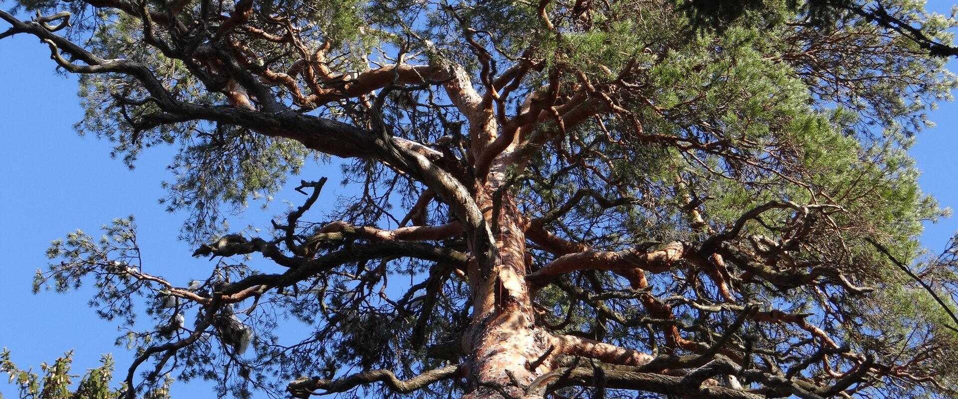
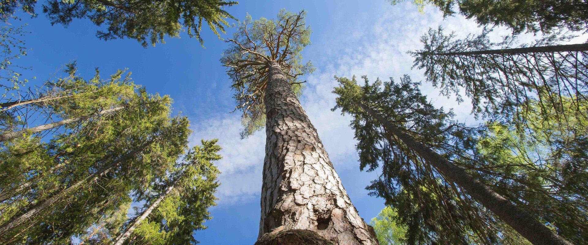
Järvselja nature study trail introduces the forest surrounding the centre of forestry and research. The trail is diverse and passes through a number of forests. Here, you will see the King’s pine (Kuningamänd), which is over 380 years old, as well as spruces that are more than 40 meters high – making them one of the highest trees in Estonia.The trail runs partly on a boardwalk and the route is 1–5 km long. A good starting point is either the Järvselja Hunting Lodge or the guest house, where there are information boards with a map of the trails.Järvselja study trail and the primeval forest represent one of the best locations to discover in Southern Estonia, marked with the yellow frame of National Geographic.
Amenities

  • Information boards
  • WC
  • Drop Toilet
  • Free parking

Open times

Throughout the Year

Around the Clock

Contact

  • +372 741 1341
  • info@jarvselja.ee

Links

See more

  • Hiking Trails

Laari Forestry Study Trail

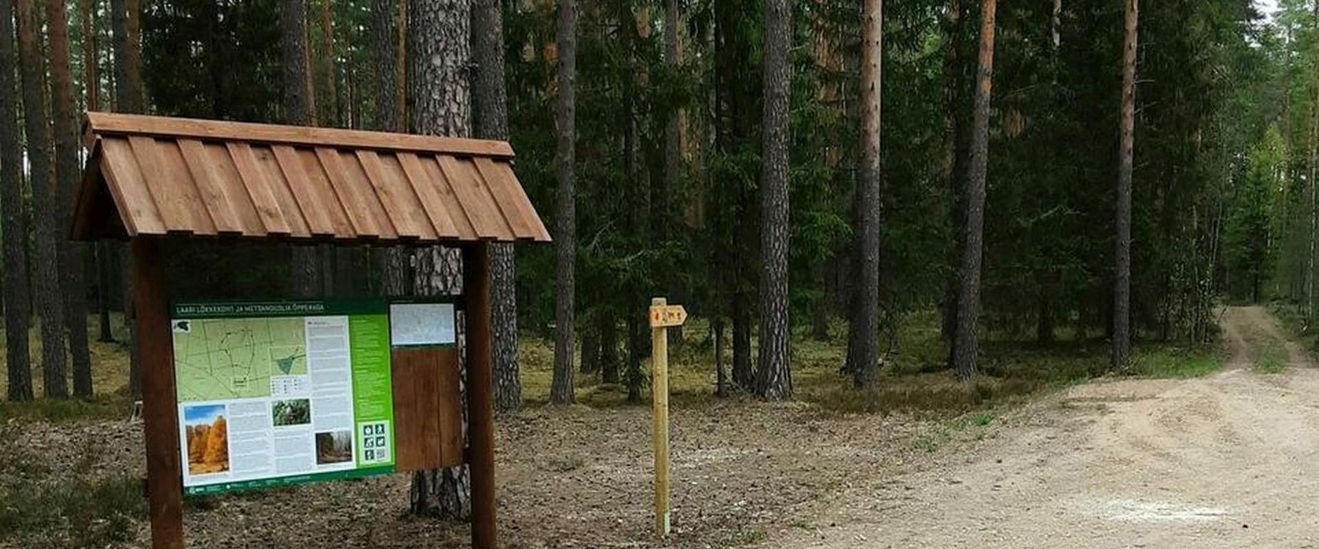
The 3-km-long circular forestry study trail, starting at Laari campfire site, is suitable for a peaceful walk for holidaymakers at the campfire site, nature lovers, and hikers with pets.The trail is very diverse - it runs along the paths and trails of the bright pine forest, the mysterious pine forest, and the eye-catching birch forest, over the Lambiniidu and a ditch, over which wooden bridges have been built.The trail is marked with signs and red dots on trees, the information boards on the trail introduce the surrounding nature and the different ways of forest management.

  • Hiking Trails

Saare Lake study trail

The 3.5 km trail introduces different forest communities. It can be accessed from the parking lot at the beginning of the trail or the Sihi and Papi campfire sites. The trail runs along boardwalks and paths of varied landscape. It also passes the burial ground of the Manteuffel family and a complex monitoring station. You can camp and make a fire under a cover at the Sihi and Papi campfire sites. The trail is suitable for visitors of all ages, as it is interesting and educational.

  • Hiking Trails

Tõrvandu forest study trail

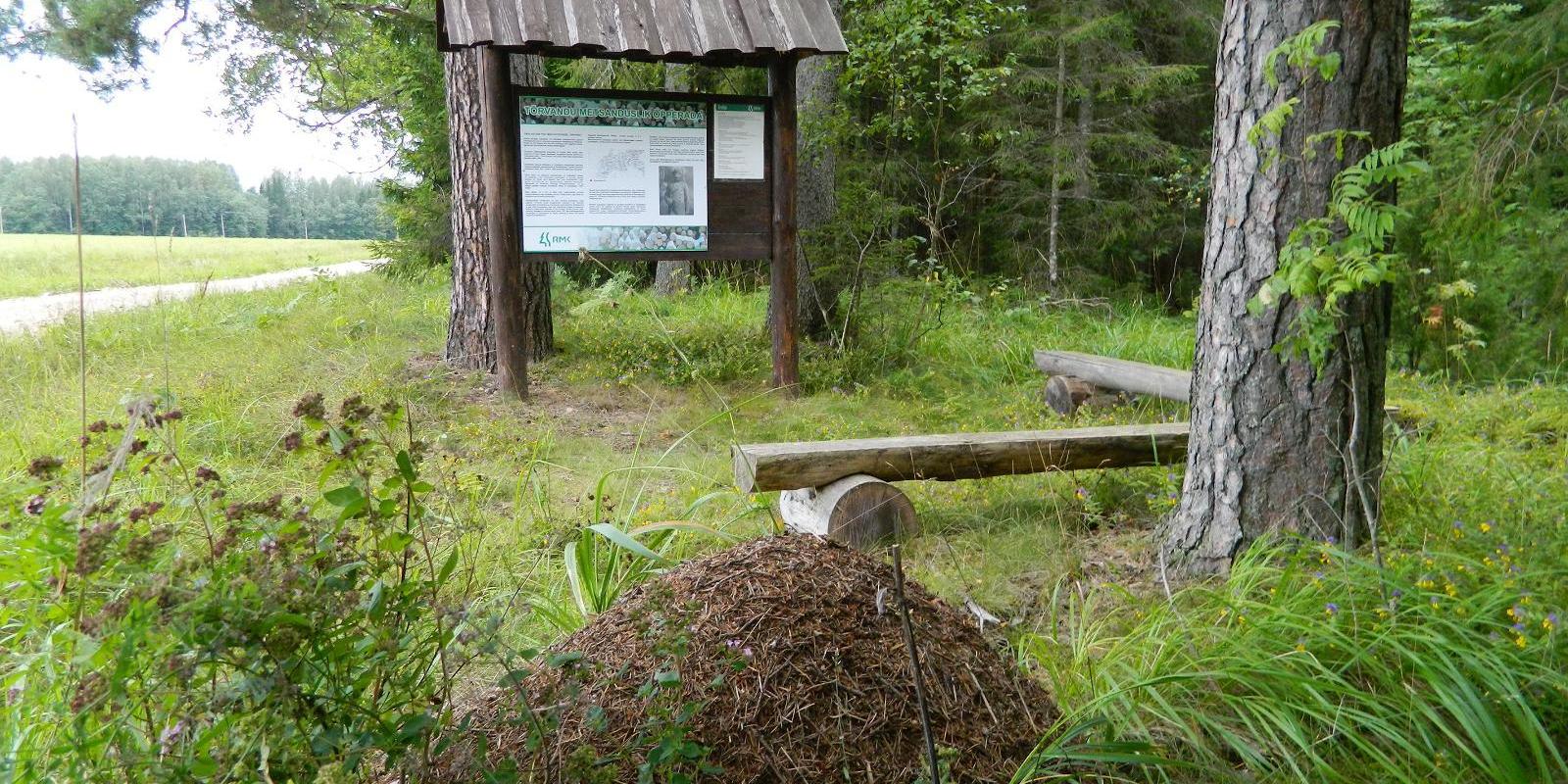
The 3 km Tõrvandu forest study trail starts at a crossroads about 400 metres from Pähni Nature Centre. This marked and explained hiking trail is meant for everyone interested in the forest. There are campfire grounds, camping area and shelters on the trail. The 25 observation points of the trail are also permeable by car.

  • Camping sites
  • Lookout towers
  • Hiking Trails

Meenikunno hiking trail

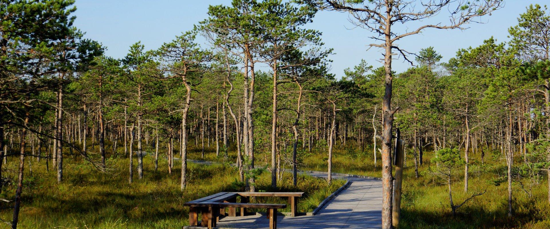
Cabins for hikers, an observation tower and a boardwalk attract many nature lovers to the Meenikunno bog. It is a beautiful recreation area. While walking down the boardwalk, you can see the most common bog plants: leather leaf, bog rosemary, crowberry, Marsh Labrador tea, and tussock cottongrass; at the edge of the bog, dwarf birches can also be found. There are also a number of different species of peat moss of various colours. The bravest hikers can try drinking bog water (it has an interesting taste!) from the overgrown ditch near the edge of the bog.Good to know: The boardwalk is pram and wheelchair accessible.

  • Hiking Trails

Apteekrimäe forest trail

Apteekrimäe forest track starts and ends by Otepää Sports Hall on Mäe Street. The 4 km track runs through the forest to Nüpli Sports Track and then back to the Apteekri forest, where it meets the forest path between Lake Marguse and Otepää Garden Town before returning to its starting point after crossing the Sulaoja bridge. The track can be used all year round.

  • Lookout towers
  • Hiking Trails

Väike Munamägi Hill

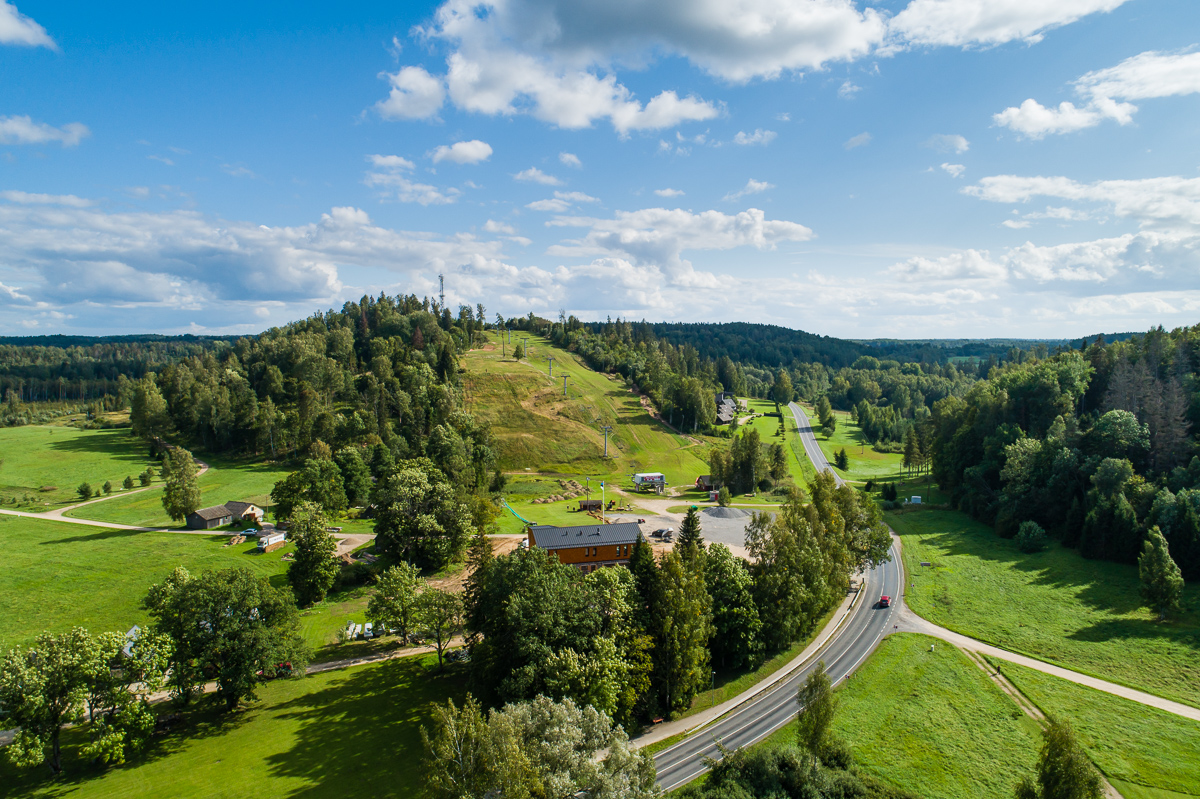
Climbing to the top of Munamägi Hill is worth the effort – the view covers more than 50 km. The absolute height of Väike or Otepää Munamägi Hill is 207.5 m (relative height exceeds 80 m). There is a spring on the north-eastern slope of Väike Munamägi (in the direction of Otepää) that has been considered the start of the Väike Emajõgi River for a long time. The boulder on the edge of the first plain is the biggest in the area – 250,000 kg. Take a look at the aerial panorama (picture by Joel Tammet).

  • Lookout towers
  • Hiking Trails

Harimägi and Harimäe Observation Tower

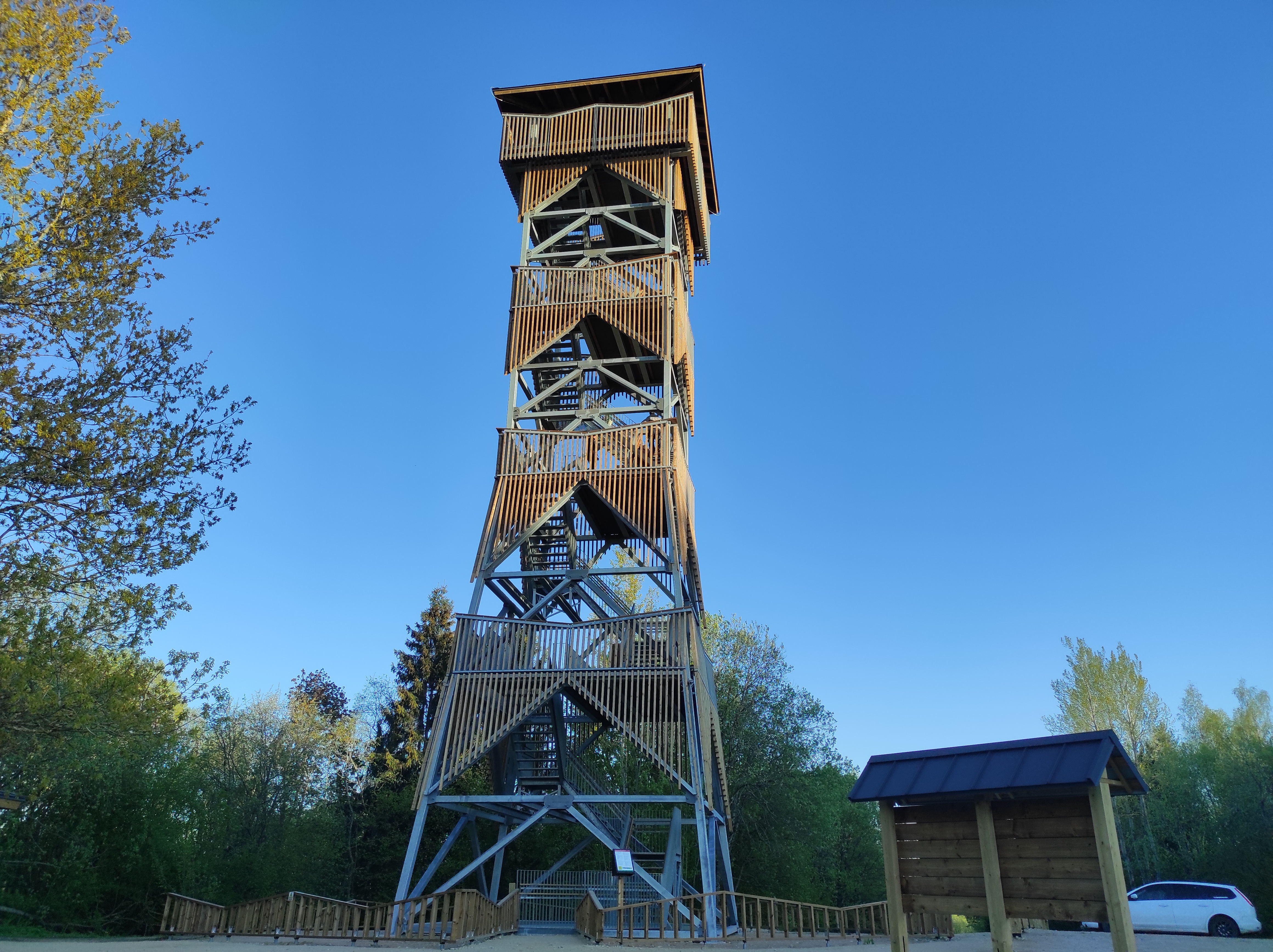
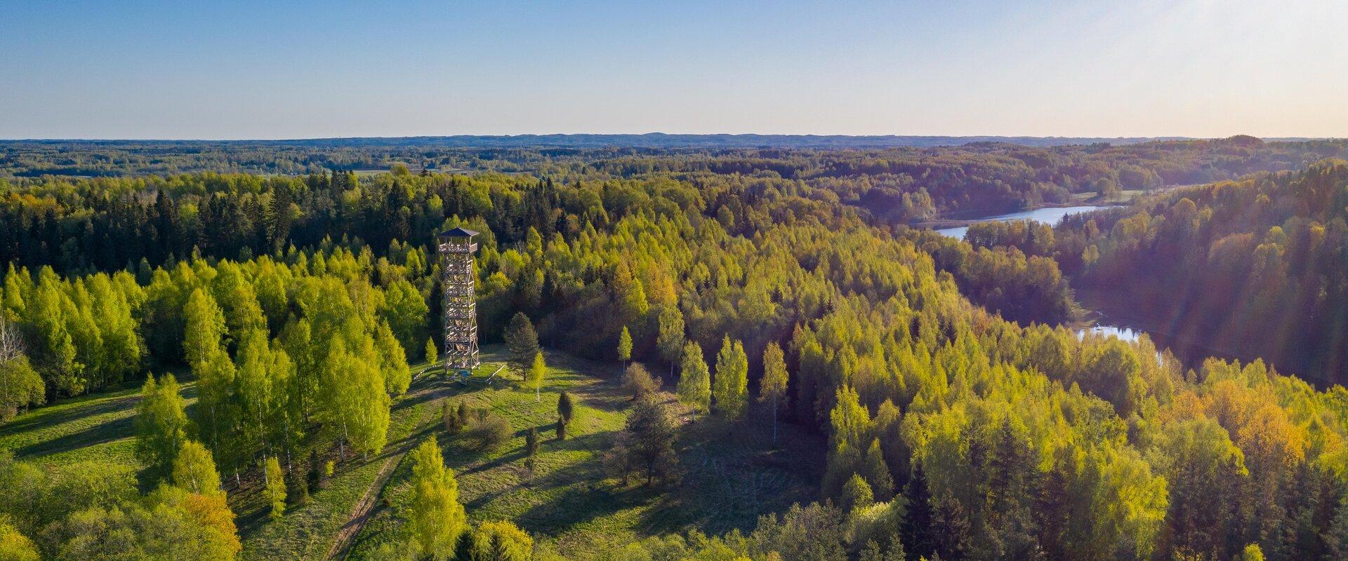
Harimägi is one of the largest mesas in the Otepää Uplands (211 m above sea level). It is worth coming to Harimäe whenever you are near Otepää. The Harimäe Observation Tower is located 3 km from Kääriku in the direction of Sangaste. The height of the tower is 28 m, and the highest viewing platform is 24 m high. The tower offers views of the Otepää mountains and across the Väike Emajõgi valley to the Karula upland. Camping is also allowed at the tower. Good to know: Harimägi is also called 'Leenard and Leonhard's hill.' From 1816 to 1819, geodetic surveys were carried out here by the internationally recognised astronomer and surveyor Friedrich Georg Wilhelm Struwe (1793–1864).

  • Camping sites
  • Lookout towers
  • Hiking Trails

Hiking trails of the Paganamaa Landscape Reserve

there are three different hiking trails with a length of 3.8 km, 4.3 km and 4.7 km in the Paganamaa , just off the Latvian border in plus, there's a gazebo in . All trails begin at the Paganamaa bonfire site, where a beautiful view of Paganamaa nature can be enjoyed from the tower. on the trails, you'll see a mixed forest with a primeval forest appearance and an old Kazik, with Kikkajärv and greater Mudajärv on the road. at the beginning of the hiking trails, there's also a resting place, which is a good place for bonfire making, camping, camping.

  • Collaboration
  • News
  • Contacts
  • Privacy Policy
Join our mailing list!

"*" indicates required fields

This field is for validation purposes and should be left unchanged.
I authorise marketing

South Estonia Tourism Cluster

info@visitsouthestonia.com