• Открой
    • Еда
    • Природа
    • Культура
    • Семья
    • Спорт
    • Сообщество
    • Блог
    У Вас появились свободные выходные, чтобы провести с детьми? Здесь собраны лучшие места в Южной Эстонии для семейного отдыха
  • Планируй
    • Размещение
    • Информация
    • Varamu
    Sustainability
RUS
  • РусскийRUS
  • EestiEST
  • EnglishENG
  • LatviešuLAT
  • SuomiFIN
RUS
  • РусскийRUS
  • EestiEST
  • EnglishENG
  • LatviešuLAT
  • SuomiFIN
Populaarsed otsingud:
Näita kõiki tulemusi
  • Nature and Activities
  • Nature
  • Hiking Trails

Lõunalaagri hiking trail

Setomaa vald, Võru maakond, 64032

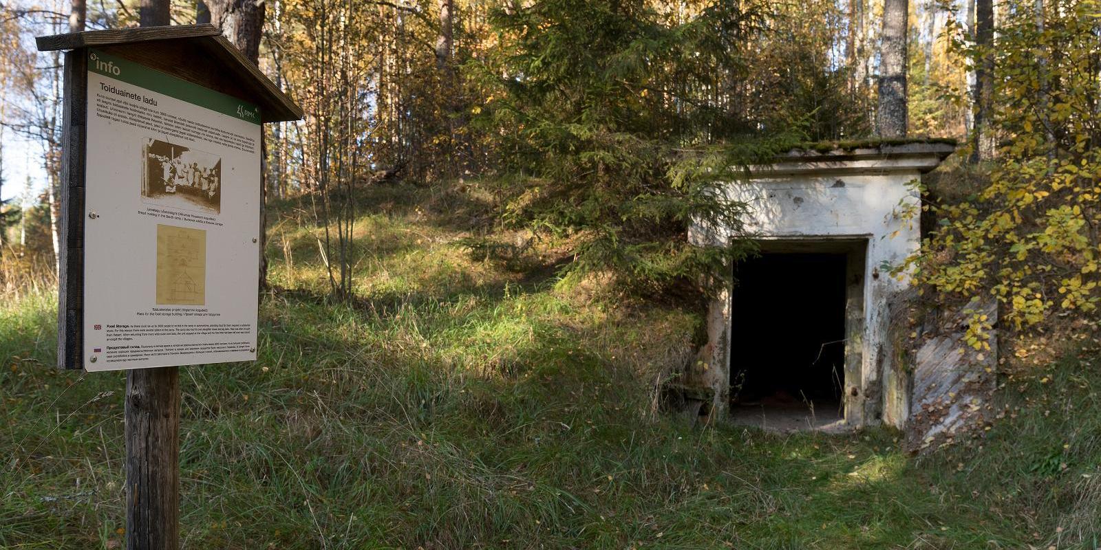
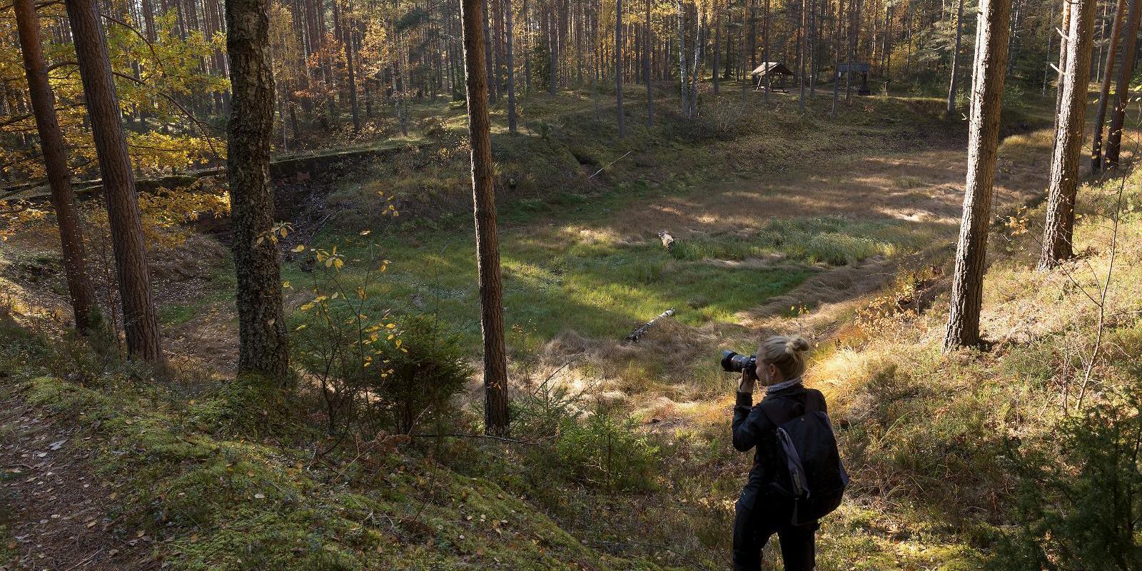
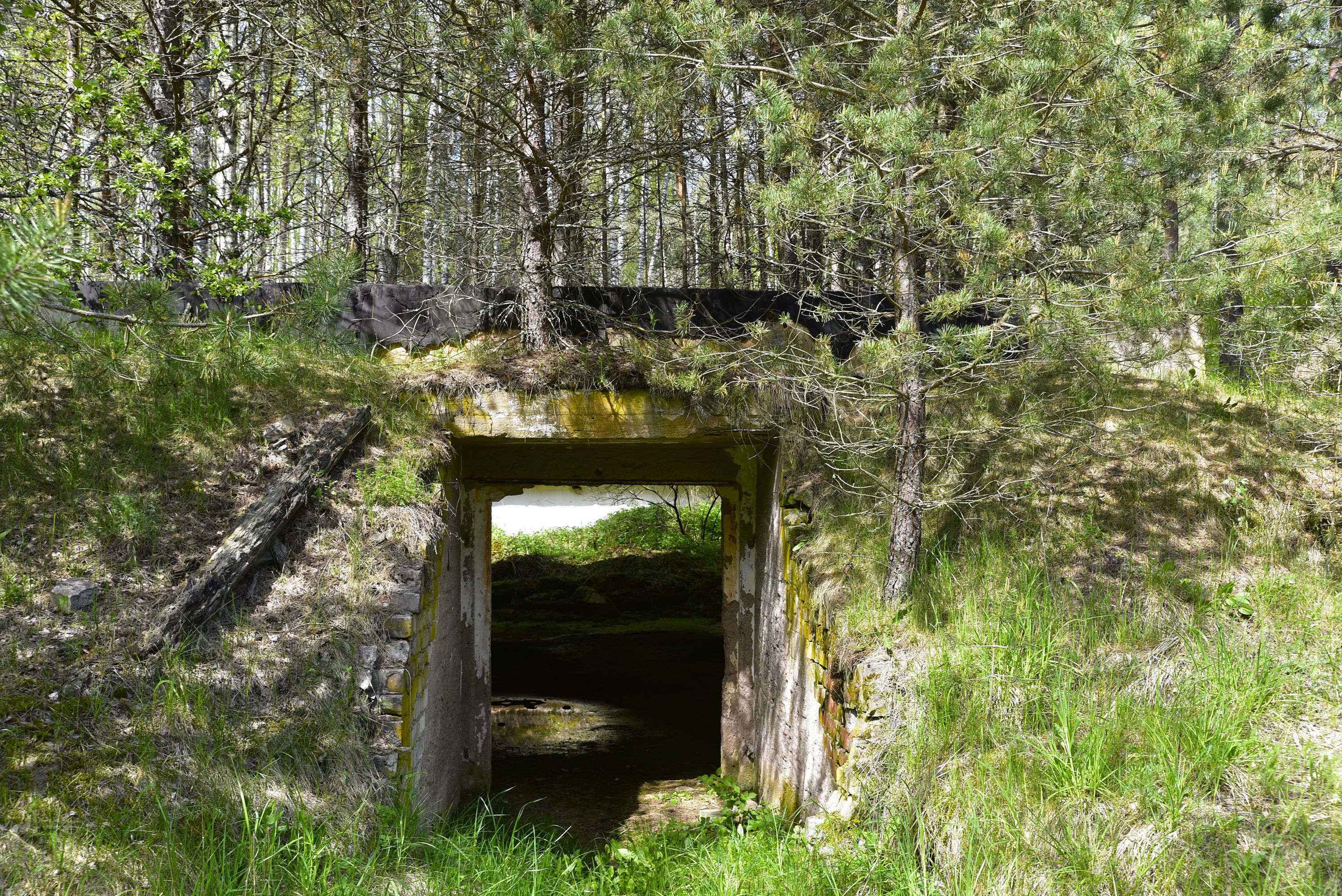
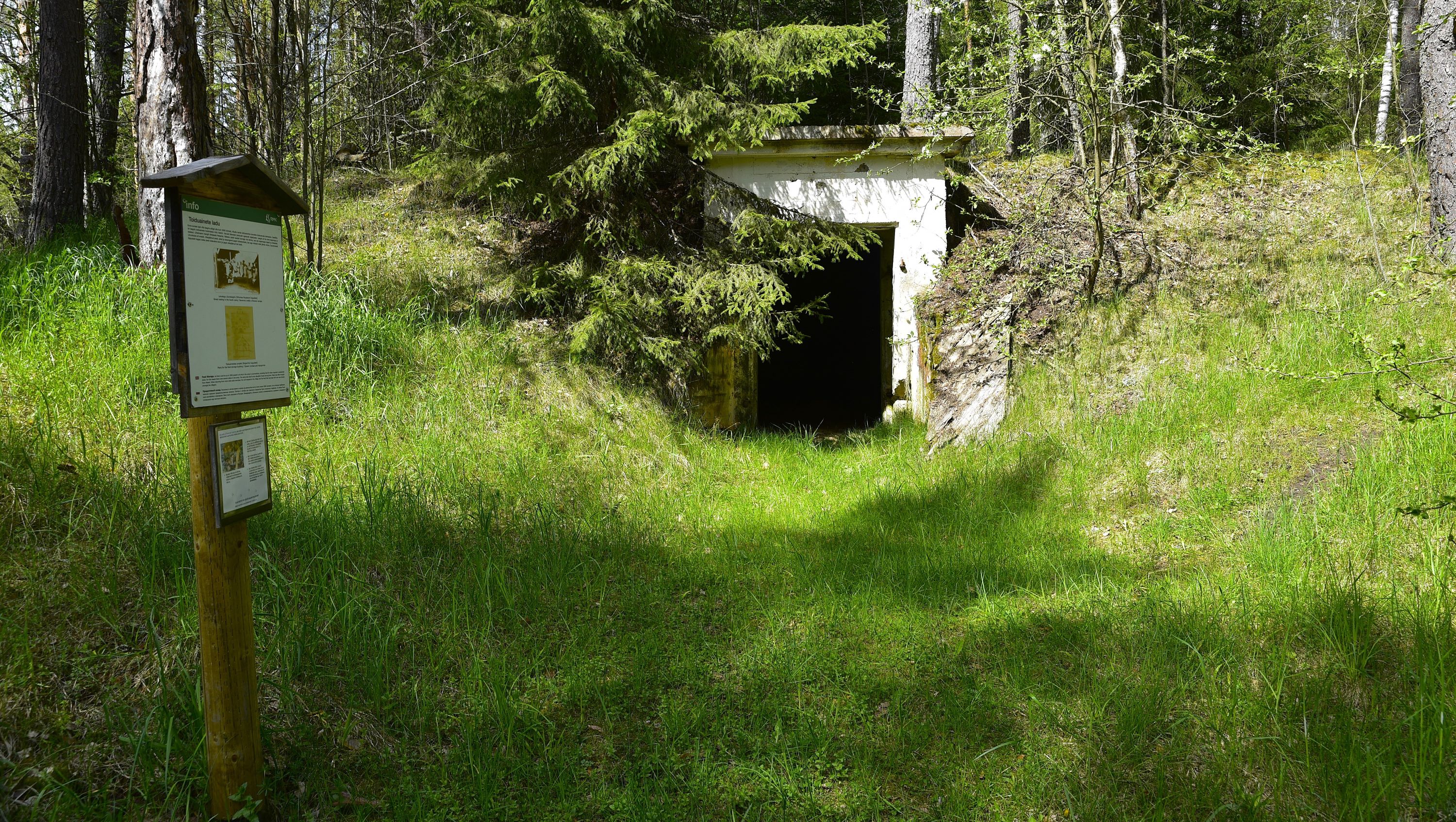
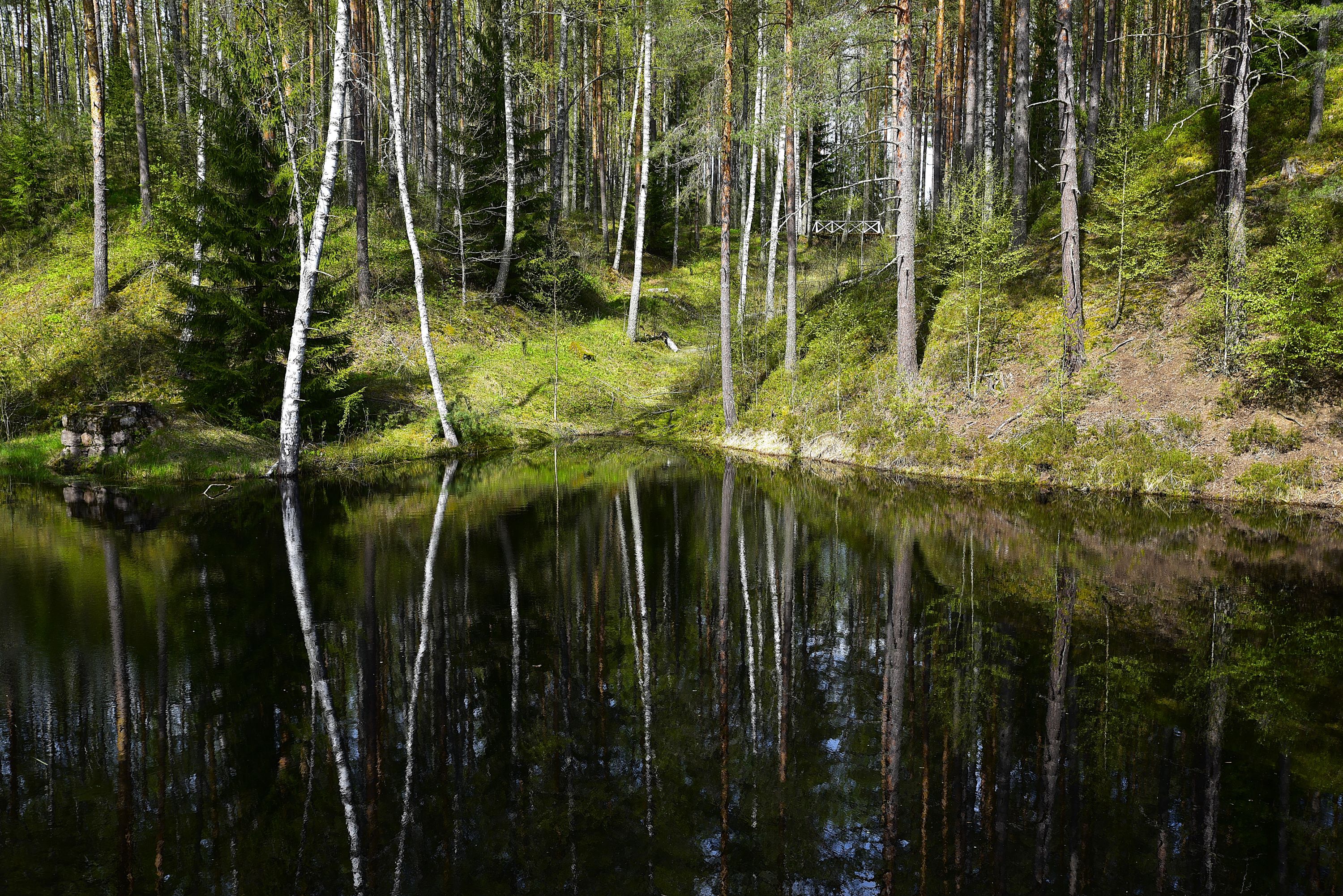
The 2 km long hiking trail of Lõunalaager is established on the former grounds of the Estonian Defence Forces’ Lõunalaager. In 1920, an impressive military complex was built here, where infantrymen practiced during the summer. Although nothing remains of the buildings, the shimmering reservoir among the trees, the old bridge, several foundation stones, and trenches speak of the realities of that time. Information boards provide additional reading about the past. It’s an experience to perceive how quickly nature hides everything once made by humans. The Lõunalaager hiking trail offers a unique opportunity to combine a light nature walk with the heritage of Estonia’s military history.
The natural course of the trail around the reservoir and over the old bridge creates a peaceful, almost meditative atmosphere. The RMK campfire site allows for a rest break and, if necessary, camping.
The trail is marked, and information boards help understand the area’s significance in the history of the Estonian Defence Forces. Crossing with the shooting range cycling trail offers an additional opportunity for longer movement – thus, a more sporty day loop can be initiated from Lõunalaager.
Mugavused

  • Information boards
  • Drop Toilet
  • Free parking

Часы работы

Круглый год

Ööpäevaringselt

Контакты

  • +372 676 7122

Ссылки

loodusegakoos.ee

Подробнее

  • Hiking Trails

Tõrvandu forest study trail

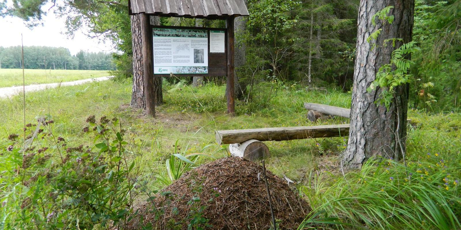
The 3 km Tõrvandu forest study trail starts at a crossroads about 400 metres from Pähni Nature Centre. This marked and explained hiking trail is meant for everyone interested in the forest. There are campfire grounds, camping area and shelters on the trail. The 25 observation points of the trail are also permeable by car.

  • Hiking Trails

Lake Verijärv nature studies trail

Lake Verijärv nature studies trail is around 1 km long and has 9 information boards showcasing plants, trees, bushes, birds and animals. The trail runs through the Lake Verijärv ancient valley and wood. There are signs along the trail as well as three barbecue areas with benches.There are various legends about Lake Verijärv. It is said that the lake got its name centuries ago when slaves were punished in the old cellar that stood on the shore and their blood turned the water red. Another legend speaks of the nasty lord of Kasaritsa Manor, who was drowned by his coachman with his carriage and horses while driving home one night.

  • Family friendly
  • Lookout towers
  • Hiking Trails

Ööbikuorg valley and Rõuge lakes

The Rõuge primeval valley, which is 10km long and 52m deep, contains seven lakes: Kahrila Lake, Tõugjärv, Ratasjärv, Kaussjärv, Rõuge Suurjärv, Liinjärv, and Valgjärv. The lakes are connected by the Rõuge or Ajo River, which starts from the Tindi valley. The side valleys of the Rõuge primeval valley are Tindi, Külm, Mõhk, Ööbikuorg, Tinopeetri, Hinni, Sikasoo, and Järveotsa valleys. The most famous of these is Ööbikuorg, which borders the ancient hillfort from the north. In spring, during the blossoming of bird cherry trees, the valley resonates with the song of nightingales – hence the name of the valley. Several hiking trails run through Rõuge, including the popular Ööbikuorg hiking trail, which takes visitors through the primeval valley, past lakes and springs. The trail is suitable for families with children and is partially accessible by bicycle. In summer, you can swim and paddle in the lakes, while in winter, the same trails are enjoyed by skiers and sledders. In the Rõuge settlement, there is also Estonia's deepest lake – Rõuge Suurjärv (38m) – and the largest Nature Clock in Estonia, whose hands mark the passage of time in nature's rhythm.Good to know: At the edge of Ööbikuorg, there is a visitor center and the Pesapuu observation tower, which offers a view of the entire valley.

  • Hiking Trails

Luhasoo nature trail

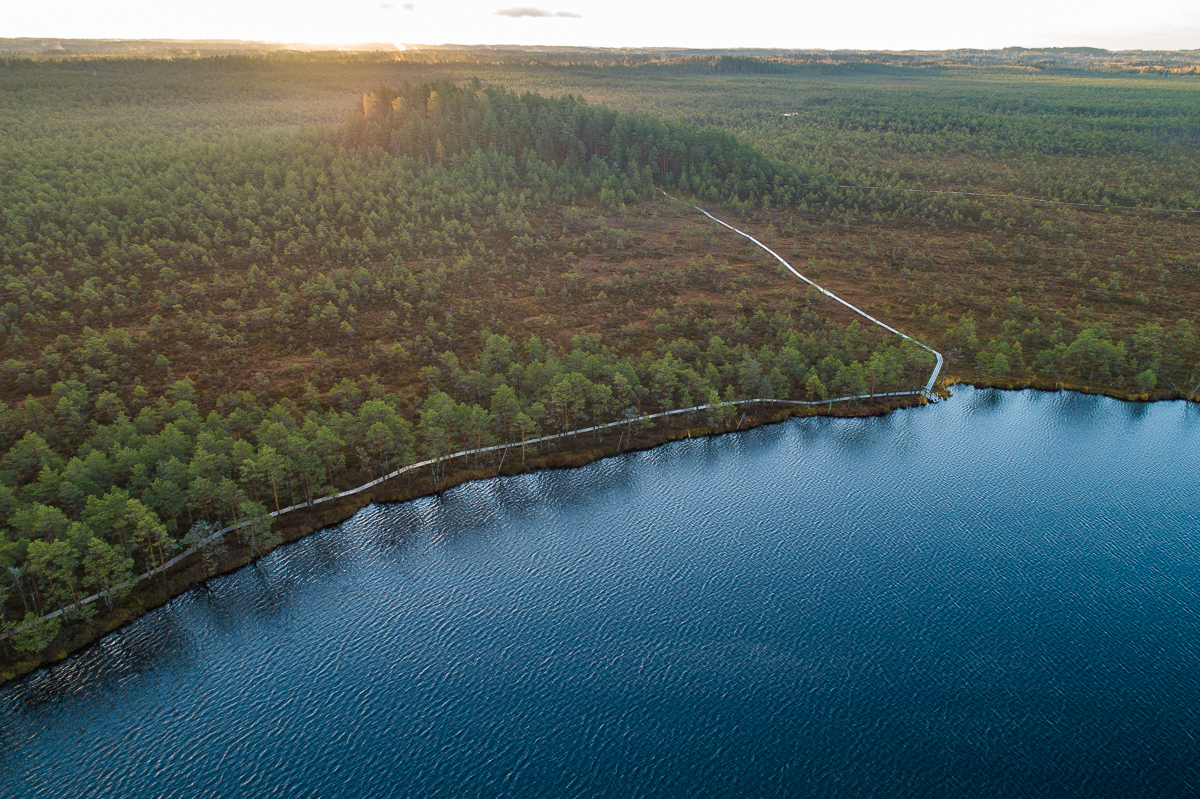
The hiking trail on the Luhasoo landscape protection area is a 5 km long loop, partially covered with a boardwalk. In the center of the trail, there is a small forest hut on a bog island for overnight stays. Hiking in the flat terrain of Luhasoo offers a contrast to the otherwise hilly nature of Võrumaa. The peace and quiet of the bog help nerves to relax from city noise and daily activities. The boardwalk-covered part is easy to traverse even with children. It is possible to take breaks along the way. Luhasoo bog is known for its dark-water pools and moss fields shimmering between them. As you move along the trail, picturesque views of the bog lake and surrounding transition bog landscape unfold — it's an ideal place to breathe in clean air, take a break, and recharge naturally. The hike offers both visual diversity and an opportunity to truly escape the noise of everyday life. Good to know: firewood needed for the forest hut should be taken from the shelter at the start of the boardwalk. The forest hut is available for free use.

  • Hiking Trails

Sangaste forest park trail

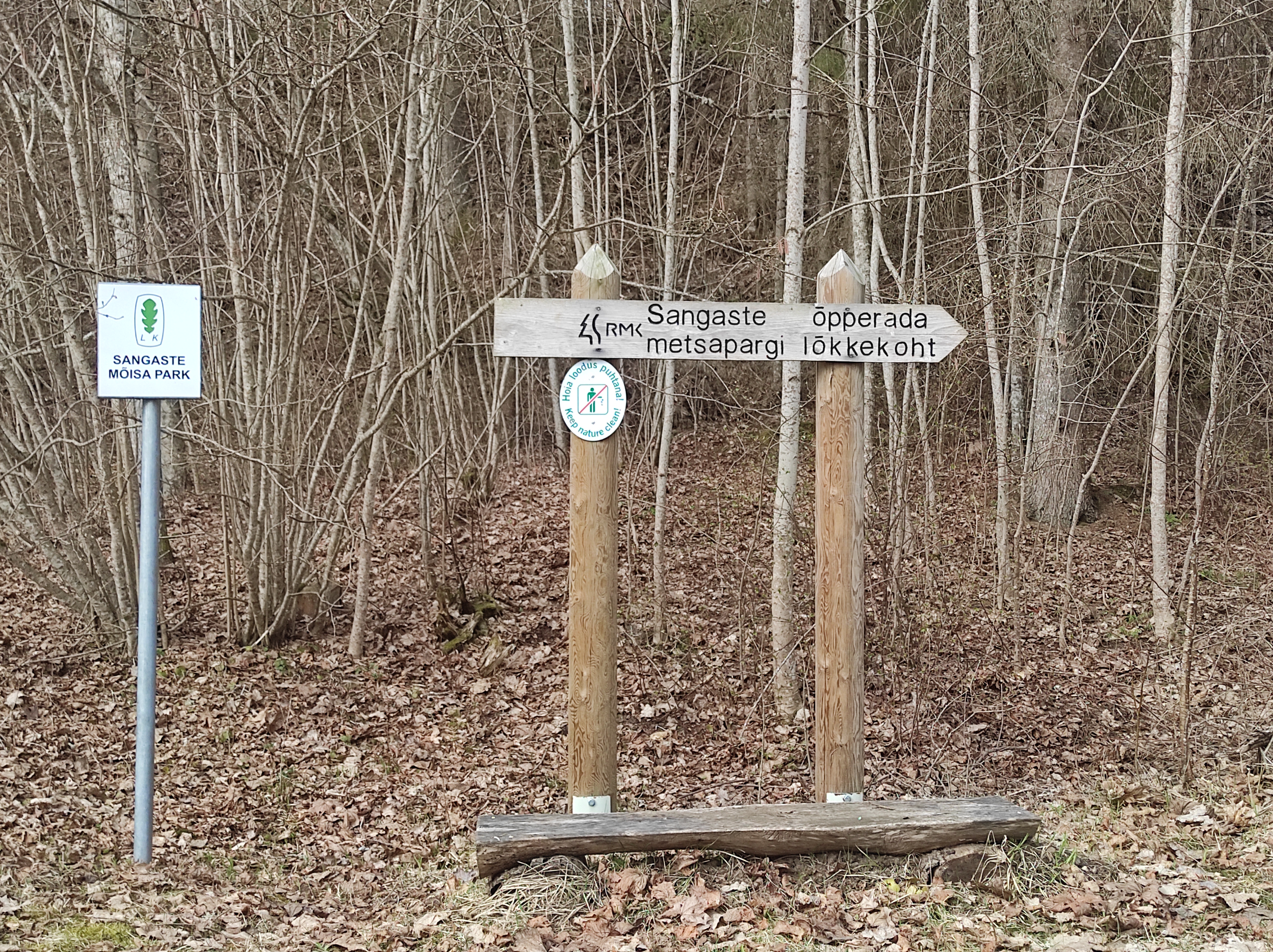
The 3-kilometre-long Sangaste forest park trail is located in Kiidjärve-Kooraste Recreation Area and starts from the forest park behind the Sangaste Castle.The trail introduces the forest park, founded by Count Friedrich Magnus Berg, where nearly a few hundred different species of trees and shrubs are represented. The trail has signs, stairs, bridges, and information boards that introduce the forest park and the various species of trees. There's also a campfire site on the trail with a fire pit, benches, a toilet, and a wood shed, which can also be used as a shelter.Interesting fact: Estonia's tallest, a 42-metre-tall Douglas tree grows in the park. It's possible to visit the Sangaste Castle during opening hours.

  • Camping sites
  • Hiking Trails

Lake Kavadi hiking trail

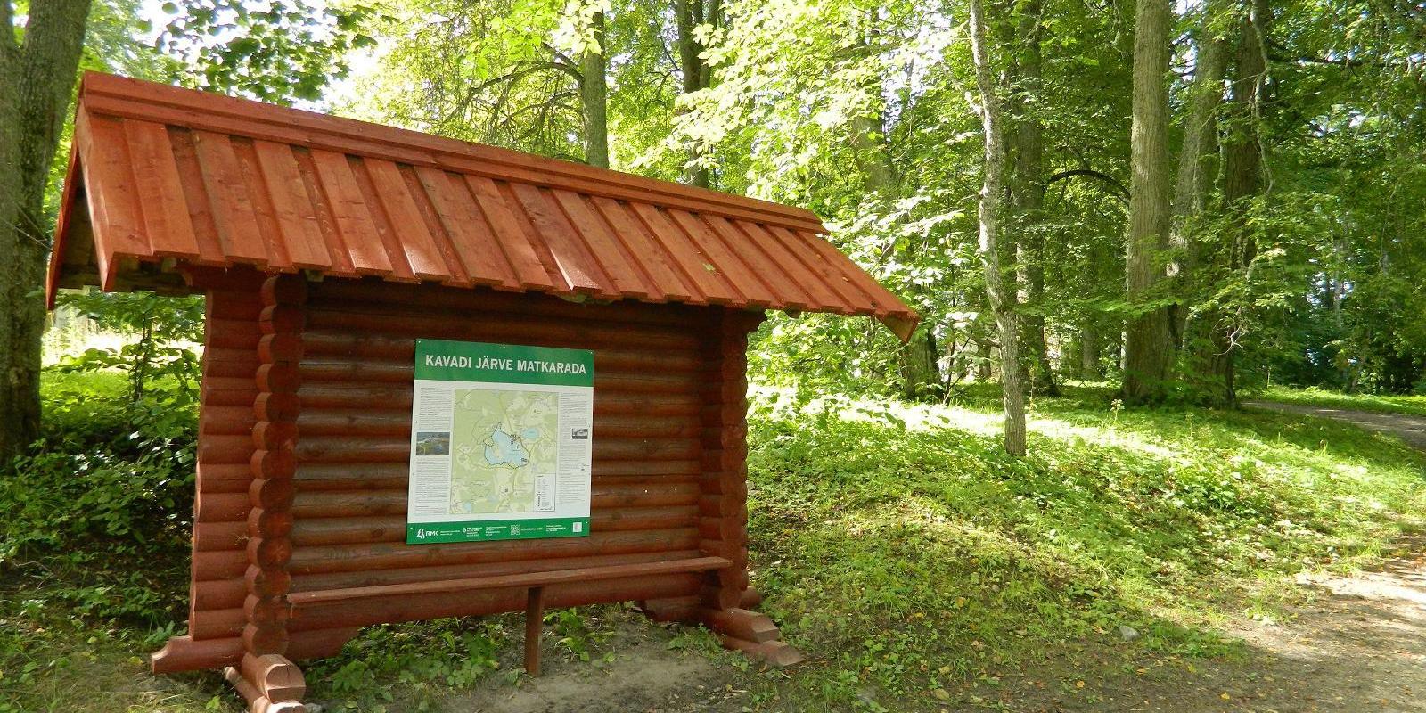
The 2.2 km hiking trail in Kavadi runs along the banks of Lake Kavadi. The hiking trail begins and ends in New-Salus Park, which has a resting place, campfires with barbecue grilles and a campsite. The trail with the direction of travel winds both along the shore lane and under the forest. Lake Kavadi is considered the most articulated shore-lined lake in Estonia. The surface area of the lake is 27.4 ha. The current size and look have been acquired by the lake some 140 years ago when Baron C. FR. von Maydell, who bought the New-Salus mansion, swelled up three small swamp lakes.

  • Hiking Trails

Vällamäe hiking trail

Vällamäe 3,3 km long hiking trail offers a unique elevation change in Estonia. Vällamägi is Estonia's second highest hill, covered with ancient forest and steep slopes, with an elevation of 303.9 m above sea level. However, considering the 84 meters measured from the base to the peak, Vällamägi is the highest in relative height in Estonia. The slopes of the hill are very steep in places (incline of 35-40 degrees). Since 1992, Vällamäe forests have been designated as a spruce gene pool reserve. As you move along the trail, steep ascents and descents alternate, offering both a physical challenge and breathtaking views of the ancient forest shelters. The climb to the peak may momentarily make you feel like you've arrived in the mountains, not Haanja. The charm of Vällamäe lies in its primordial silence and touch of nature – you won't find crowded hiking trails here. Each season adds its own character to the trail: in spring, the air is filled with birdsong, in summer you may find berries in the forest, in autumn colorful leaves and an abundance of mushrooms delight the eyes, and in winter the slopes are covered with a dense layer of snow in silence.

  • Hiking Trails

Taagepera hiking trail

The total length of Taagepera hiking trail is 5.4 km. The trail begins and ends at the Taagepera campfire site and partly runs along the shores of the Õhne River. The trail can also be completed in smaller circles – 1.6 km and 4.0 km long. There are wooden signposts and information boards at the hiking trail, capfire site is suitable also for camping.The main sights of the hiking trail include the Taagepera Castle with the Castle Park, Taagepera Church and the Cemetery, the graveyard of barons, the Musukivi rock, the sacrificial stone, the underground cemetery, and the Õhne River.A truly inspiring hike full of history, architecture, and ancient nature!

  • Privacy Policy

"*"обозначает обязательные поля

Это поле используется для проверочных целей, его следует оставить без изменений.
Я разрешаю маркетинг