• Explore
    • Nature
    • Culture
    • Food
    • Family
    • Activity
    • Blog
    Smoke sauna
    Weather and seasons
  • Plan
    • Accommodation
    • How to get here
    • Weather and seasons
    • Sustainability
    • Tourist info
    Discover South Estonia’s Most Beautiful Manors and Castles
    Top 20 Sights in South Estonia
  • For professionals
    • For professionals
    • Collaboration
    • News
    • Projects
    • Training
    • Repository
    • Community (opens in new tab)
    • Contacts
ENG
  • EnglishENG
  • EestiEST
  • LatviešuLAT
  • РусскийRUS
  • SuomiFIN
ENG
  • EnglishENG
  • EestiEST
  • LatviešuLAT
  • РусскийRUS
  • SuomiFIN
Popular searches:
Show all
  • Nature and Activities
  • Nature
  • Hiking Trails

Murrumetsa Hiking Trail

Sõjatamme, Otepää vald, Valga maakond, 67414

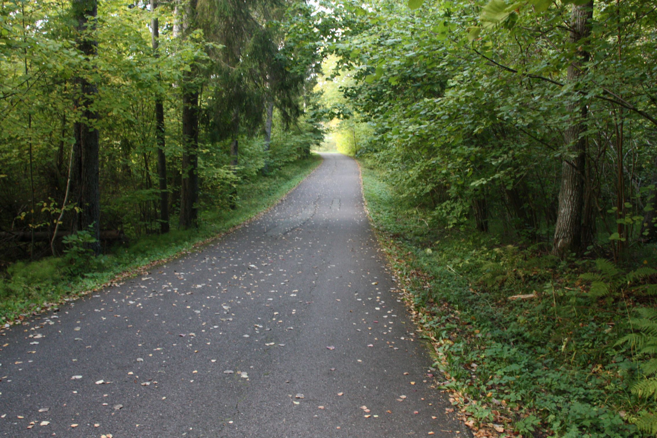
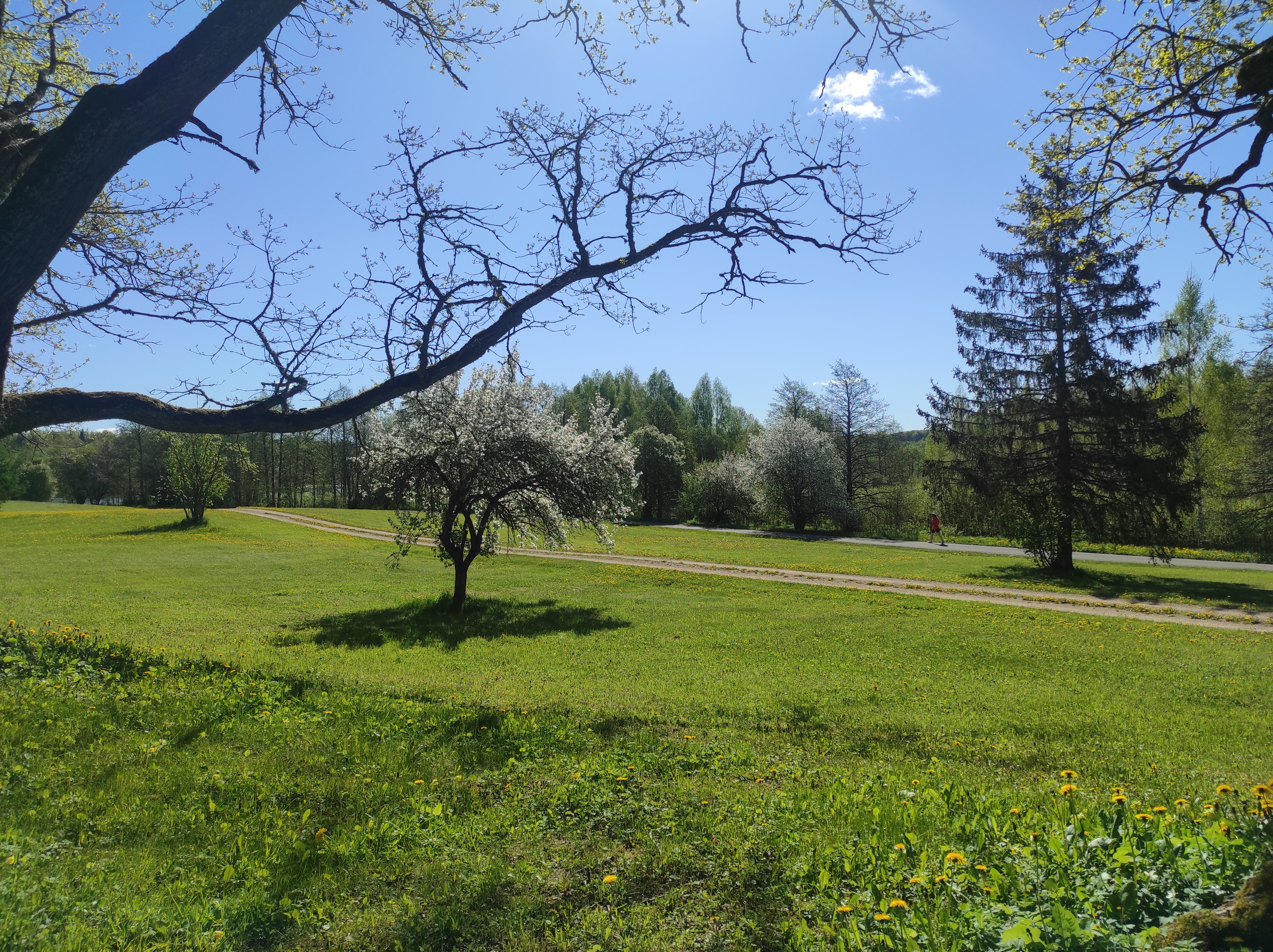
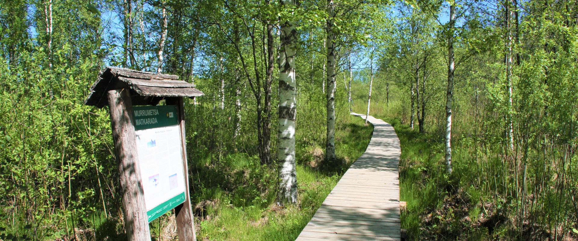
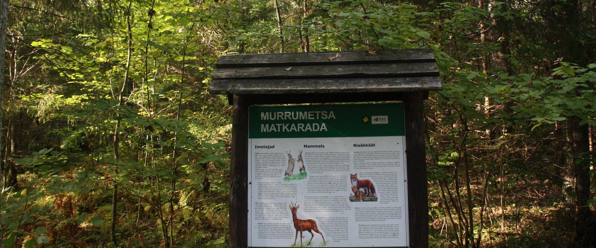
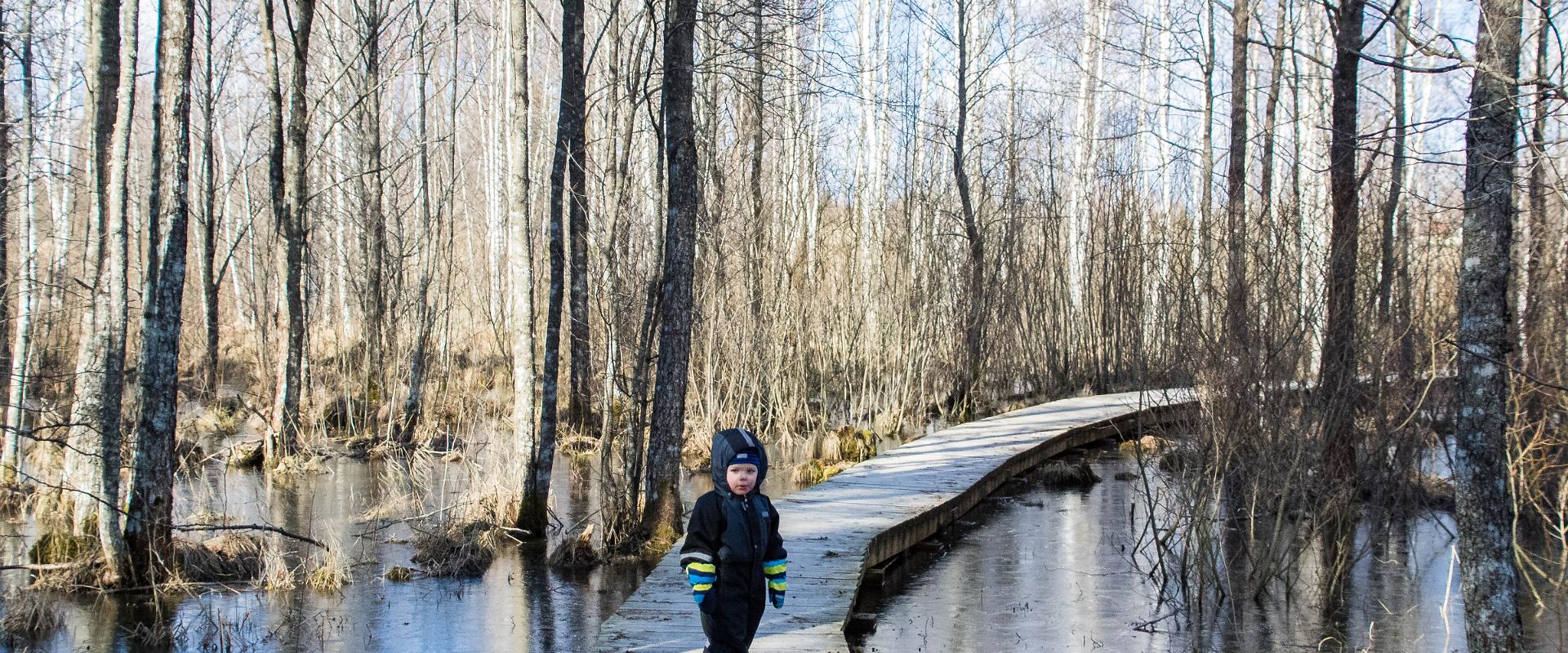
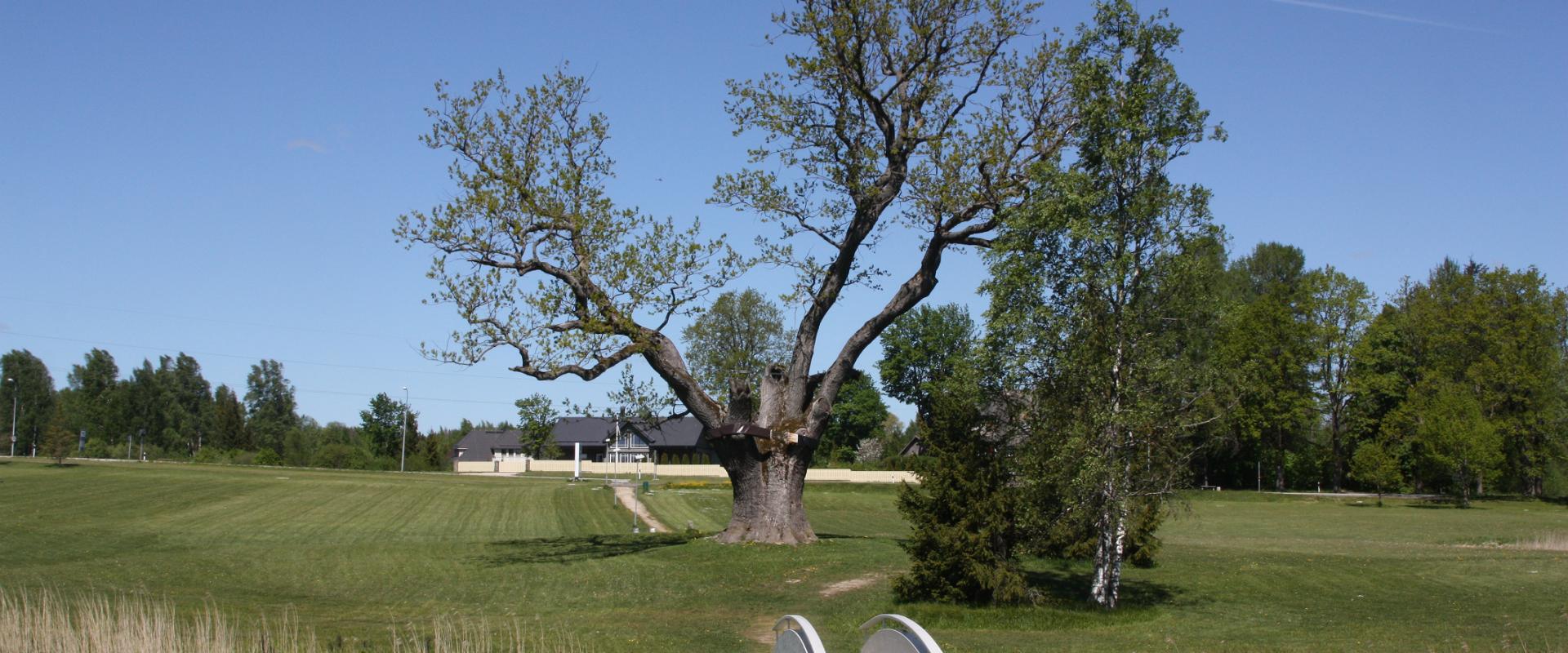
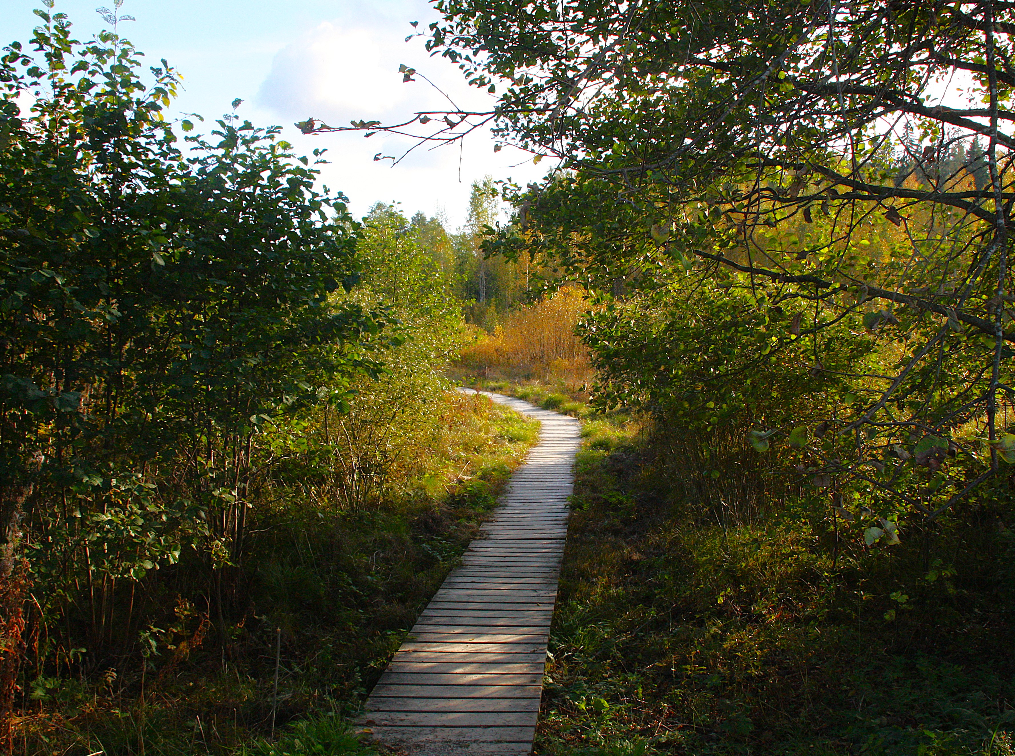
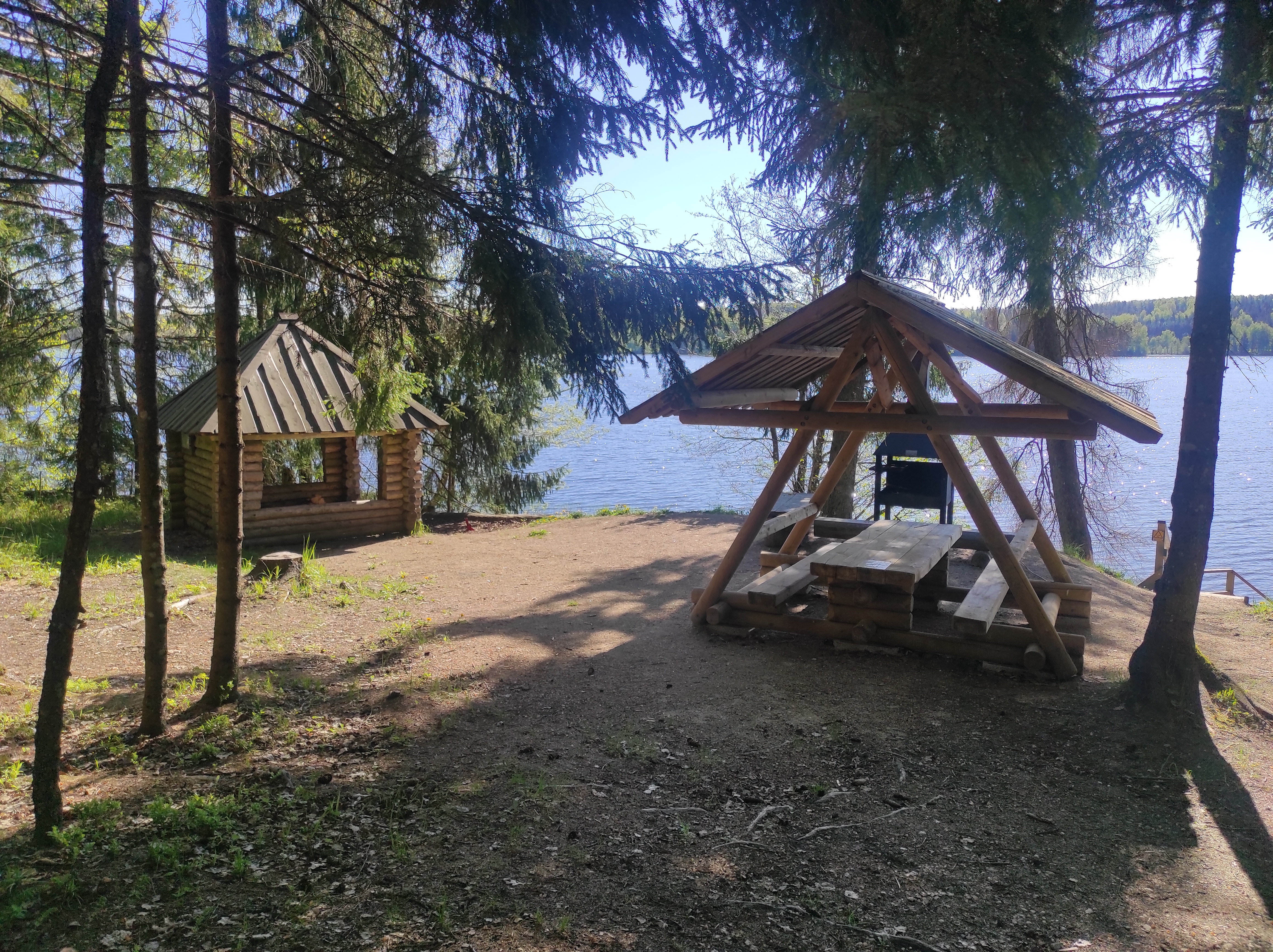
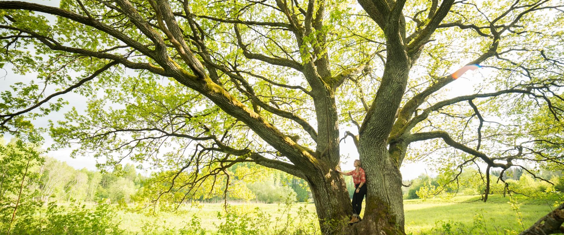
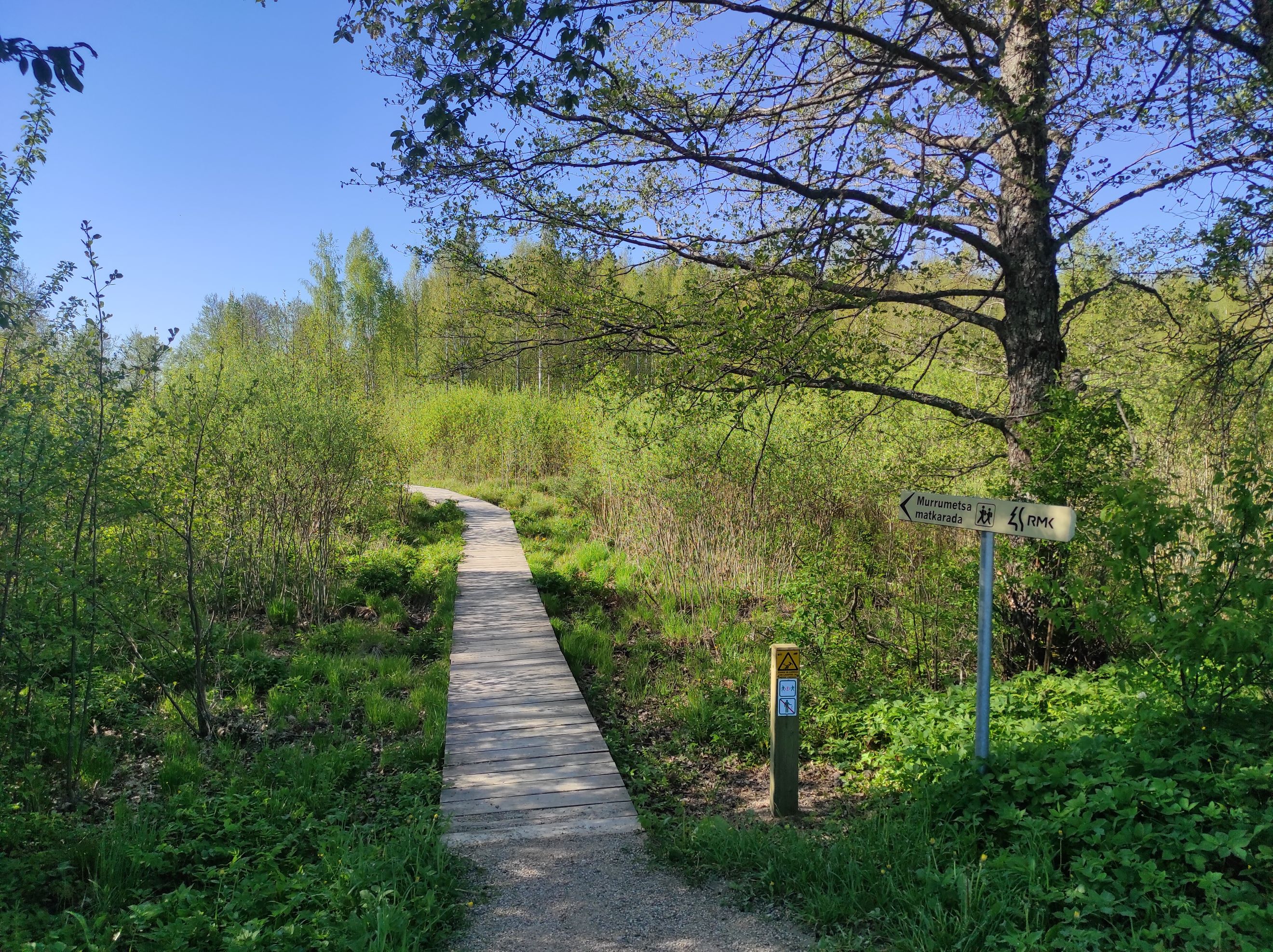
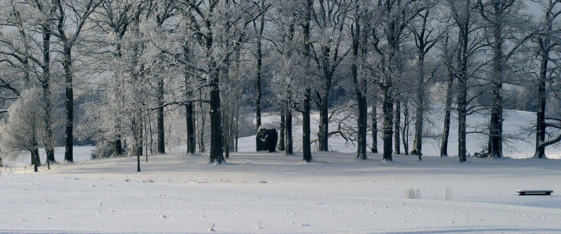
Murrumetsa Hiking Trail starts from the Pühajärve Manor Park and runs through Murrumetsa forest back to the park. It takes about 1-1.5 hours to pass the 3.5 km track. There are information boards next to the track that give information about the flora and fauna of our forests and cultivated landscapes. The track passes the ancient Pühajärv War Oak (circumference 6.98 m and height 22 m) and the commemorative stone to mark the Pühajärv War of 1841, which can be found among the oaks of Murrumets Forest. There are also rest areas and fire sites by the trail.

Amenities

  • Information boards

Open times

Throughout the Year

Around the Clock

Contact

  • +372 676 7122
  • info.kiidjarve@rmk.ee

Links

rmk.ee

See more

  • Hiking Trails

Pikalombi nature trails

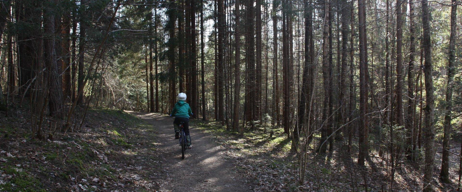
The trails have two possible starting points: in the parking lot of the Värska Sanatoorium or in the point on the side of Värska Sanatoorium across Värska Bay. The Pikalombi nature trails are 3.8 and 9.1 km long. The nature trails can be passed in autumn, spring and winter and on foot as well as by bicycle. On the boarded trail through the Velna bog the bicycle shall be pushed by hand. Good to know: There are 11 trail points along the trail. Point no. 6 lies by beautiful Lake Saarepää, offering an opportunity to make a fire and to have a longer break.

  • Hiking Trails

Saare Lake study trail

The 3.5 km trail introduces different forest communities. It can be accessed from the parking lot at the beginning of the trail or the Sihi and Papi campfire sites. The trail runs along boardwalks and paths of varied landscape. It also passes the burial ground of the Manteuffel family and a complex monitoring station. You can camp and make a fire under a cover at the Sihi and Papi campfire sites. The trail is suitable for visitors of all ages, as it is interesting and educational.

  • Hiking Trails

Vällamäe hiking trail

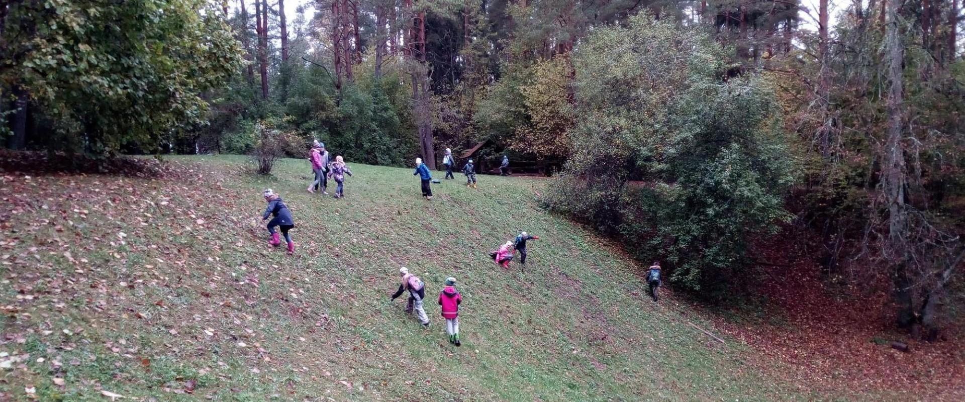
Vällamäe 3,3 km long hiking trail offers a unique elevation change in Estonia. Vällamägi is Estonia's second highest hill, covered with ancient forest and steep slopes, with an elevation of 303.9 m above sea level. However, considering the 84 meters measured from the base to the peak, Vällamägi is the highest in relative height in Estonia. The slopes of the hill are very steep in places (incline of 35-40 degrees). Since 1992, Vällamäe forests have been designated as a spruce gene pool reserve. As you move along the trail, steep ascents and descents alternate, offering both a physical challenge and breathtaking views of the ancient forest shelters. The climb to the peak may momentarily make you feel like you've arrived in the mountains, not Haanja. The charm of Vällamäe lies in its primordial silence and touch of nature – you won't find crowded hiking trails here. Each season adds its own character to the trail: in spring, the air is filled with birdsong, in summer you may find berries in the forest, in autumn colorful leaves and an abundance of mushrooms delight the eyes, and in winter the slopes are covered with a dense layer of snow in silence.
  • Hiking Trails

Hiking trail in the Rõuge Primeval Valley

The Rõuge Primeval Valley hiking trail is as straight as a line, 10 km long, it begins at Hinni Canyon or in the Ööbikuoru Centre parking lot. Beginning at the Ööbikuorg start point, the trail runs along the shores of seven lakes towards Hinni Canyon and offers hikers an opportunity to observe the workings of the area's water rams, see the deepest Estonian lake – Rõuge Suurjärv and visit Rõuge Park.Further on, on the shores of Lakes Ratasjärve, Tõugjärve and Kahrila, hikers can see the local forest communities, rest in meadows or enjoy the village landscape and proceed along the short path towards Hinni Canyon.

  • Hiking Trails

Väike Väerada hiking trail

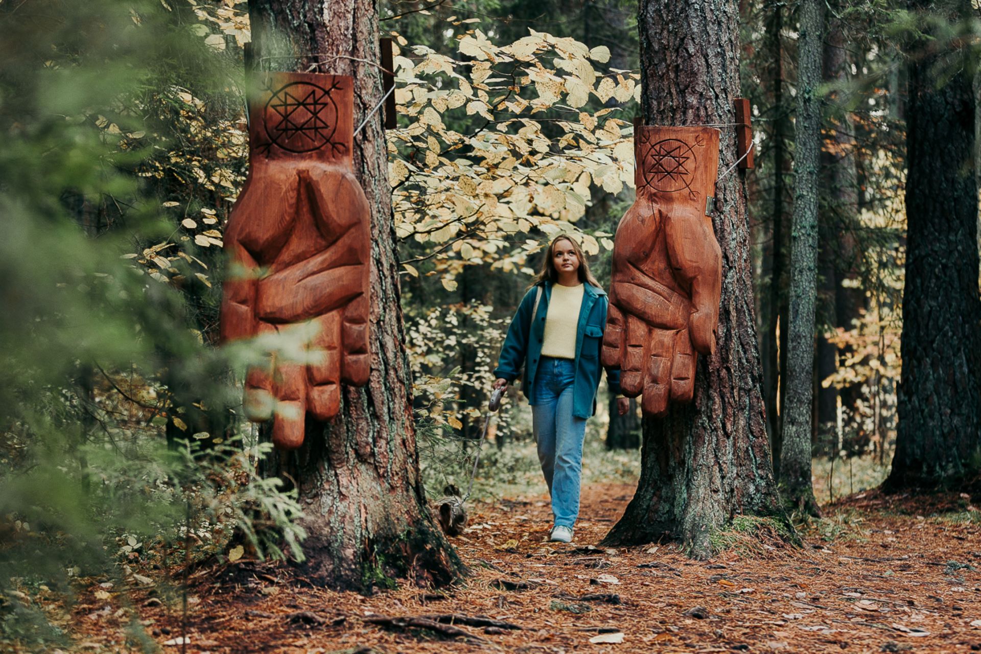
In Tartu County, near the Elva railway station, the Väike Väerada trail is one of the area's most popular hiking paths. It is special because of the wooden sculptures inspired by Estonian fairy tales and created by local artists. Small but mighty, Väerada has a healing effect on both the mind and body. The nature trail offers experiences for hikers of all ages and is suitable for exploration year-round. The attractive sculptures not only adorn the trail but also guide the correct path. The forest trail includes several resting spots and exciting attractions for children, making the journey even more enjoyable. The hiking trail ends at the Tartumaa Health Sports Center, where you can continue adventuring on other forest trails, play disc golf, or enjoy playground fun with children under the beautiful pines. Come take a walk in nature, discover fairy-tale sculptures, and let Elva Väerada offer you peace and experience in every season.

  • Hiking Trails

Kirna hiking trail

Kirna’s 6.8 km study trail provides a good opportunity to explore the Pedja River meadows and forest. To gain a better view of the meadows and river, the Altmetsa Farm has an observation tower. A suspension bridge helps to cross the river. On the right bank of the Pedja River, you will find the magnificent oak tree Musutamm. The trails of wild boars and beavers can also be seen on the study trail.While on the trail, you might hear gunfire as the Kirna Training Centre of the Defence League is close by. The access roads to the meadows intersect the study trail in several places, please carefully follow the trail marking!

  • Hiking Trails

Apteekrimäe forest trail

Apteekrimäe forest track starts and ends by Otepää Sports Hall on Mäe Street. The 4 km track runs through the forest to Nüpli Sports Track and then back to the Apteekri forest, where it meets the forest path between Lake Marguse and Otepää Garden Town before returning to its starting point after crossing the Sulaoja bridge. The track can be used all year round.

  • Hiking Trails

Vapramäe nature study and hiking trail

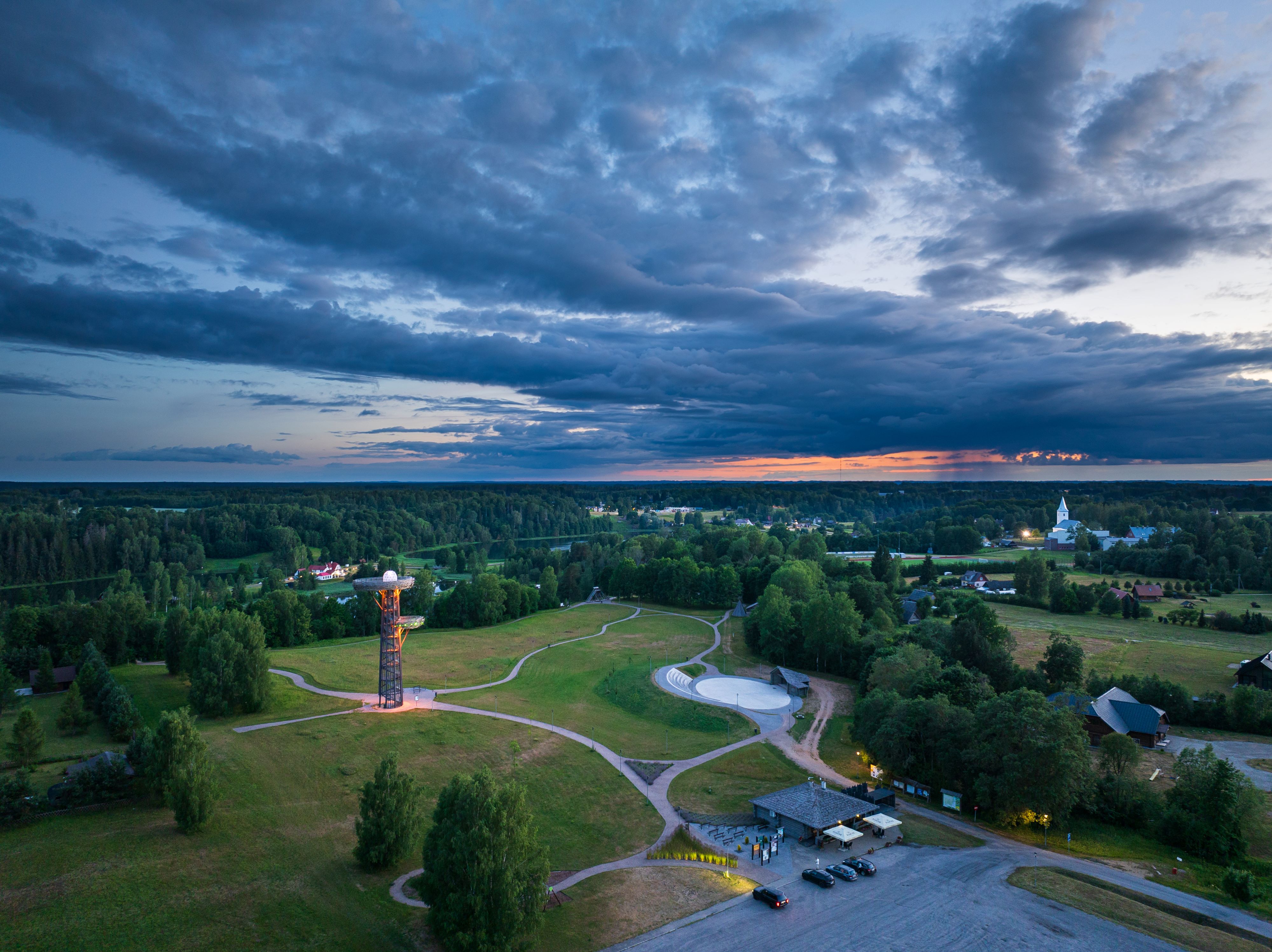
On the Vapramäe nature study trail (3.5 km), which is part of the Vapramäe–Vellavere–Vitipalu network, you can enjoy the eskers, read legends about Kalev's Son, and explore Põlismänd pine, the King's linden, Kerikmägi citadel, and much more.The nature study trail, marked with white-red-white, starts at the Vapramäe stop. There is also a picnic area with a campfire site on the hiking trail by the Elva River. You can go even further from the Vapramäe Nature House and visit the Tartu Observatory. It is easy to get there, because the domes of the observatory can be seen from afar.

  • Collaboration
  • News
  • Contacts
  • Privacy Policy
Join our mailing list!

"*" indicates required fields

This field is for validation purposes and should be left unchanged.
I authorise marketing

South Estonia Tourism Cluster

info@visitsouthestonia.com