• Explore
    • Nature
    • Culture
    • Food
    • Family
    • Activity
    • Blog
    Smoke sauna
    Weather and seasons
  • Plan
    • Accommodation
    • How to get here
    • Weather and seasons
    • Sustainability
    • Tourist info
    Discover South Estonia’s Most Beautiful Manors and Castles
    Top 20 Sights in South Estonia
  • For professionals
    • For professionals
    • Collaboration
    • News
    • Projects
    • Training
    • Repository
    • Community (opens in new tab)
    • Contacts
ENG
  • EnglishENG
  • EestiEST
  • LatviešuLAT
  • РусскийRUS
  • SuomiFIN
ENG
  • EnglishENG
  • EestiEST
  • LatviešuLAT
  • РусскийRUS
  • SuomiFIN
Popular searches:
Show all
  • Nature and Activities
  • Nature
  • Hiking Trails
  • Beaches

Arbi Lake Nature Trail

Pikk tn 12, Elva vald, Tartu maakond, 61505

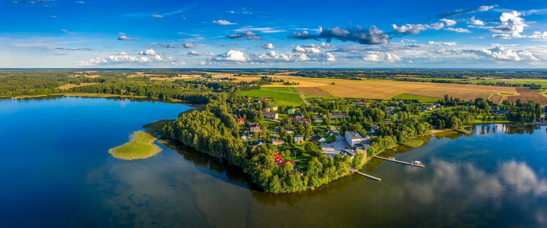
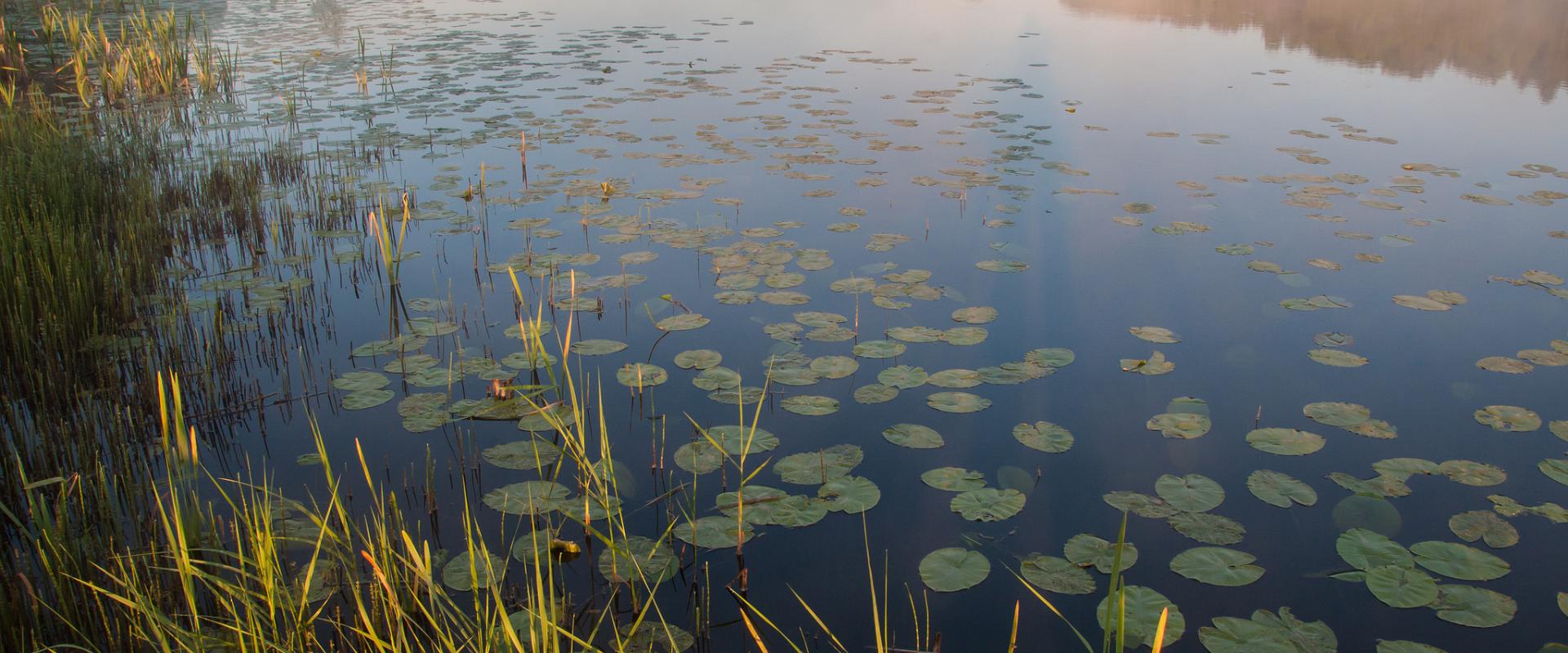
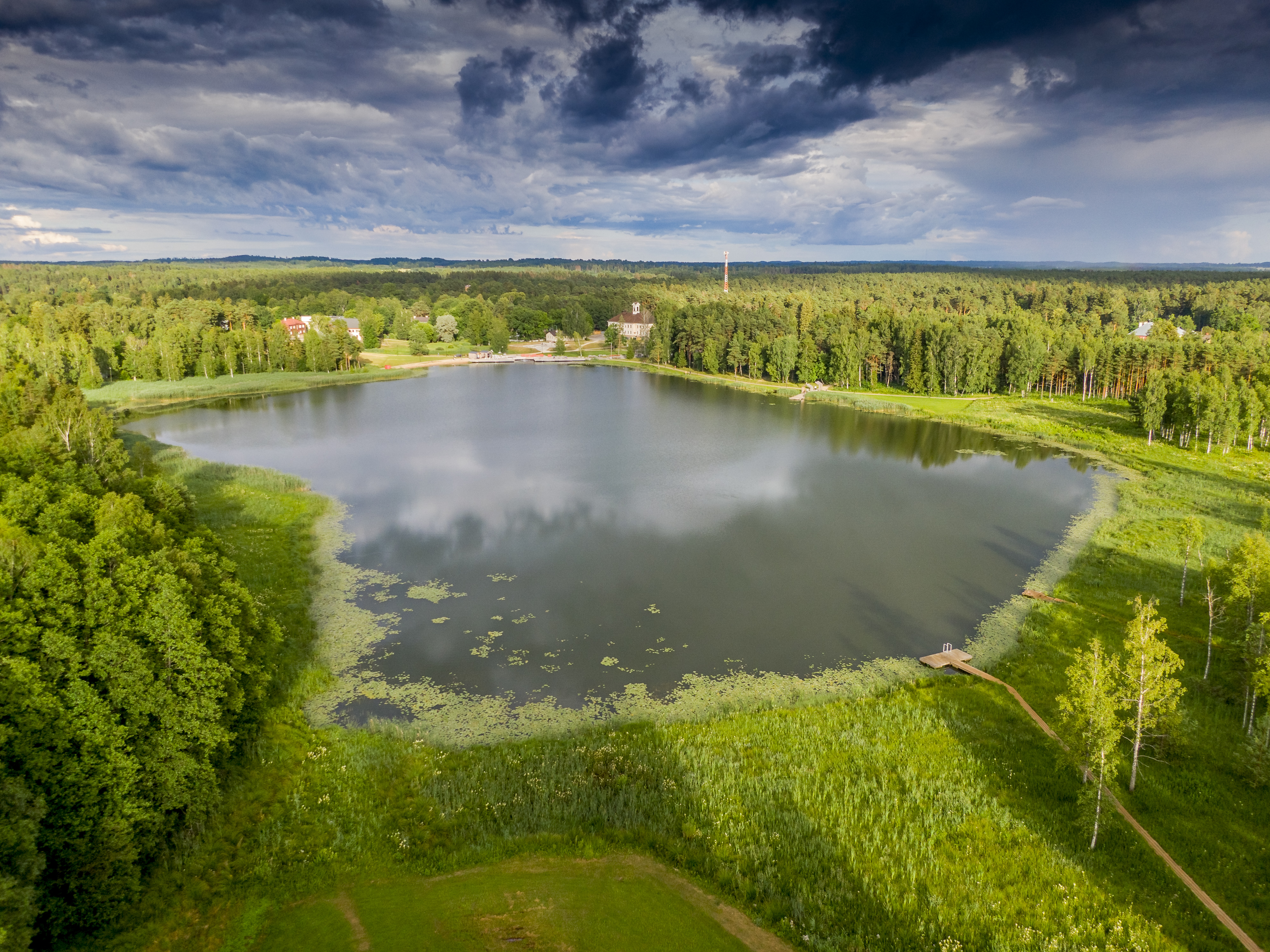
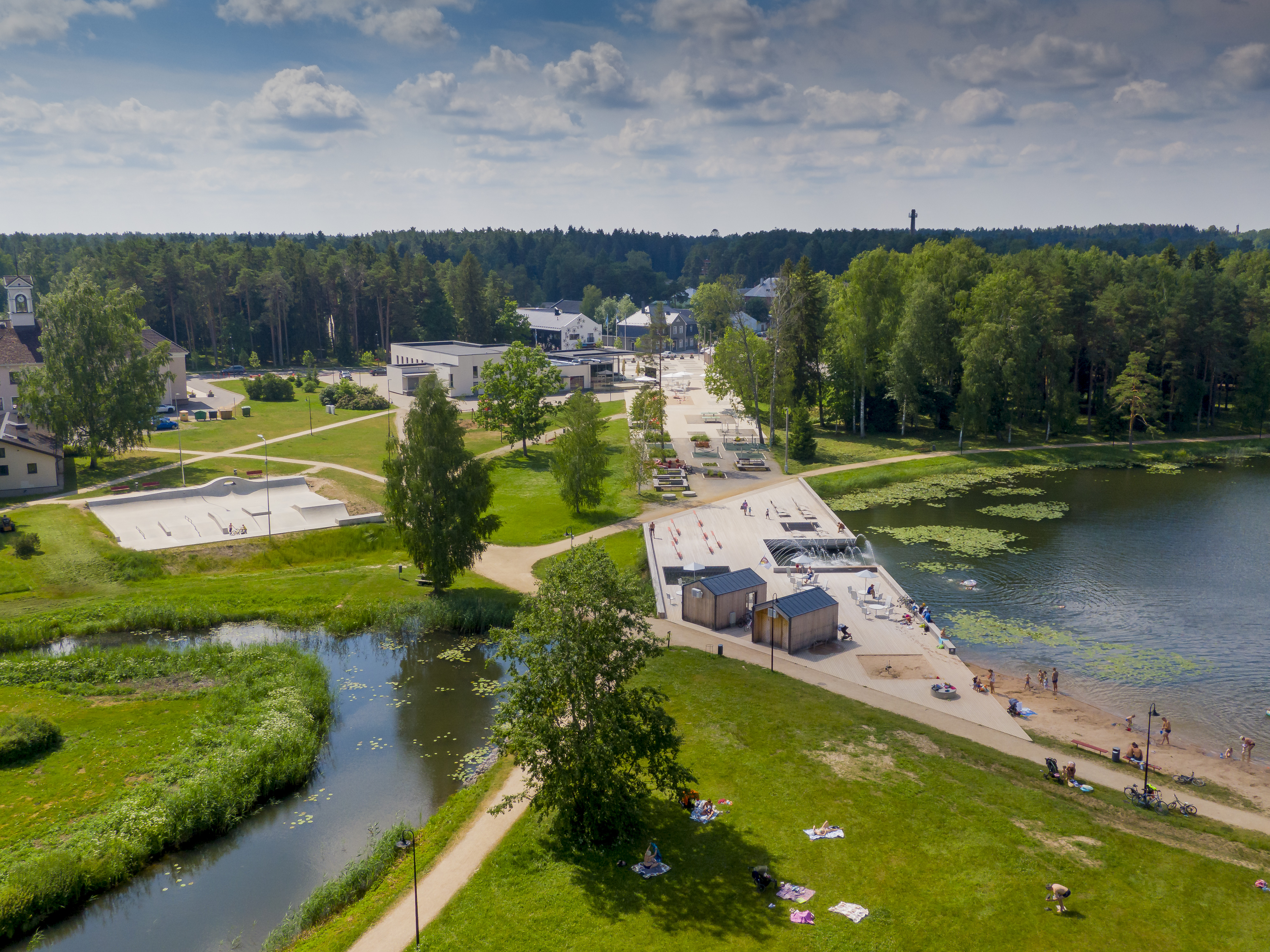
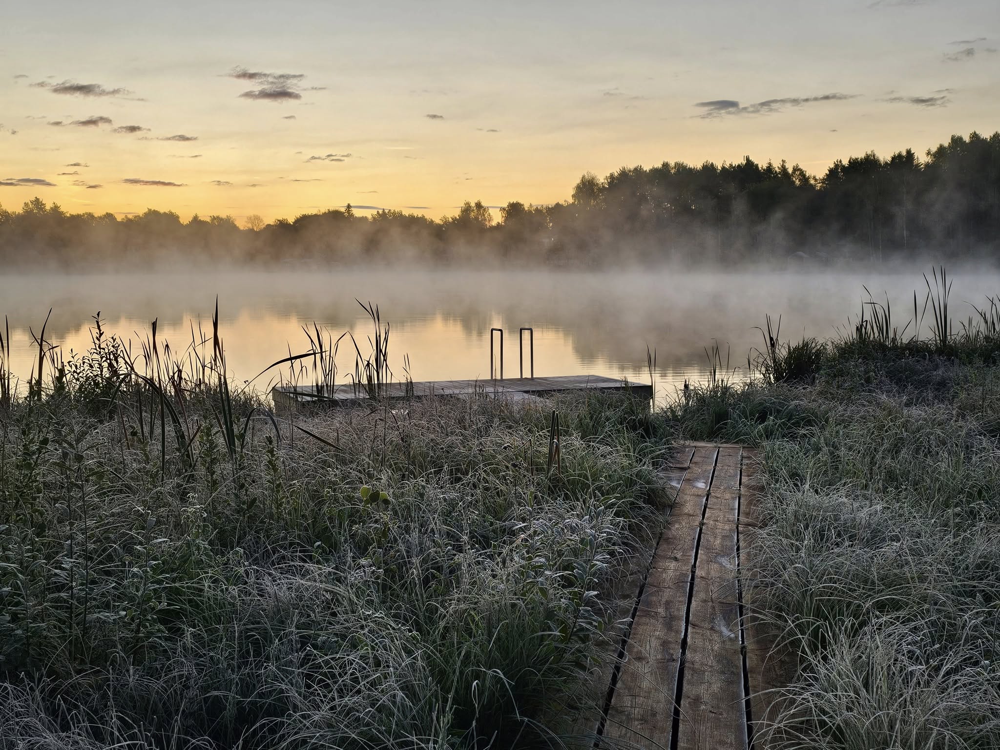
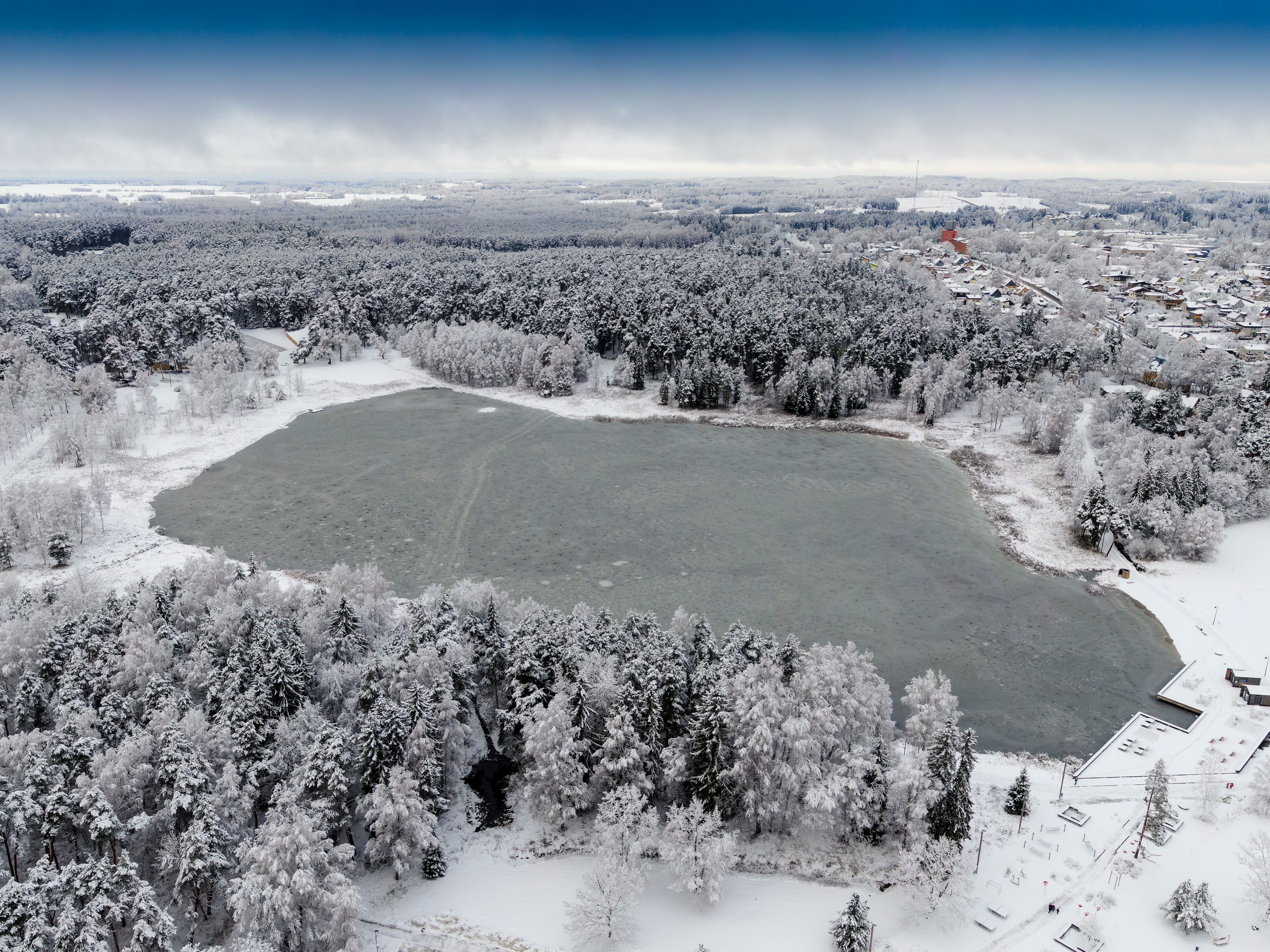
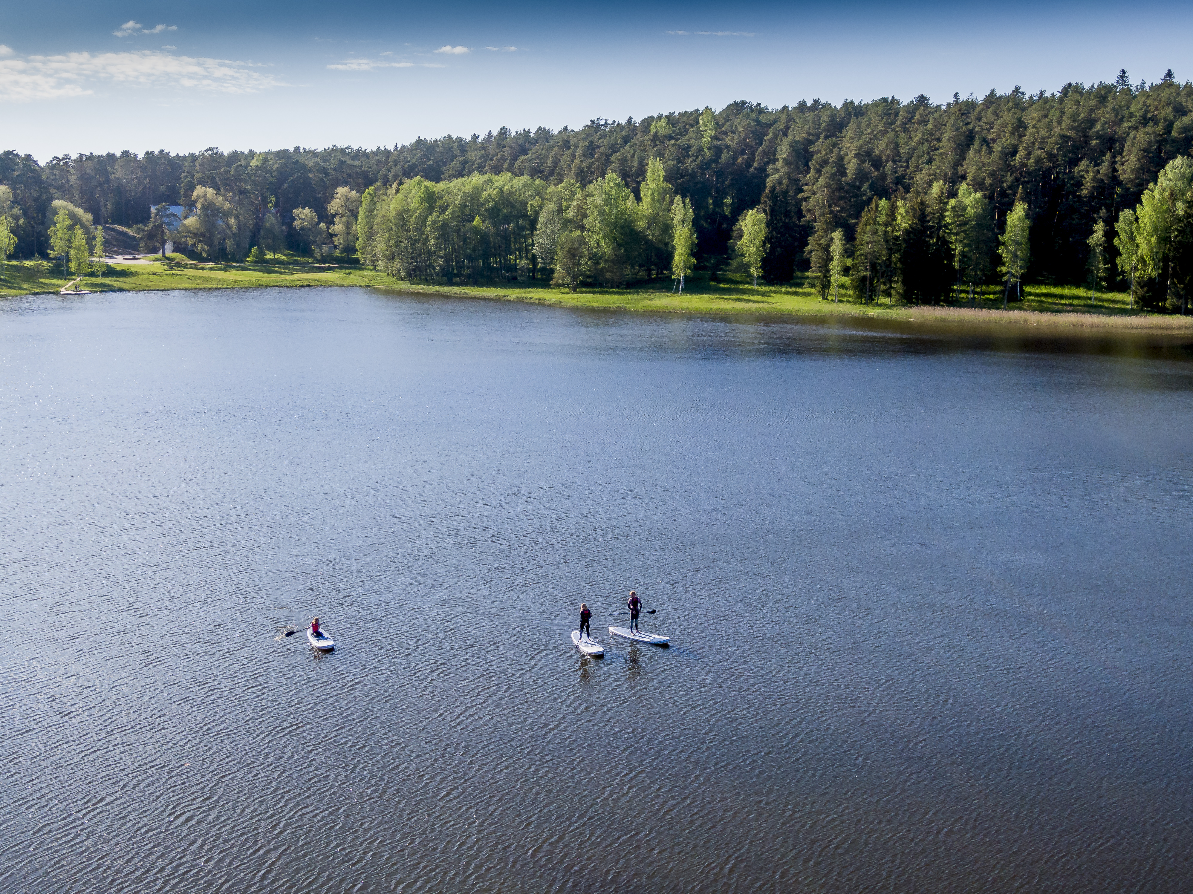
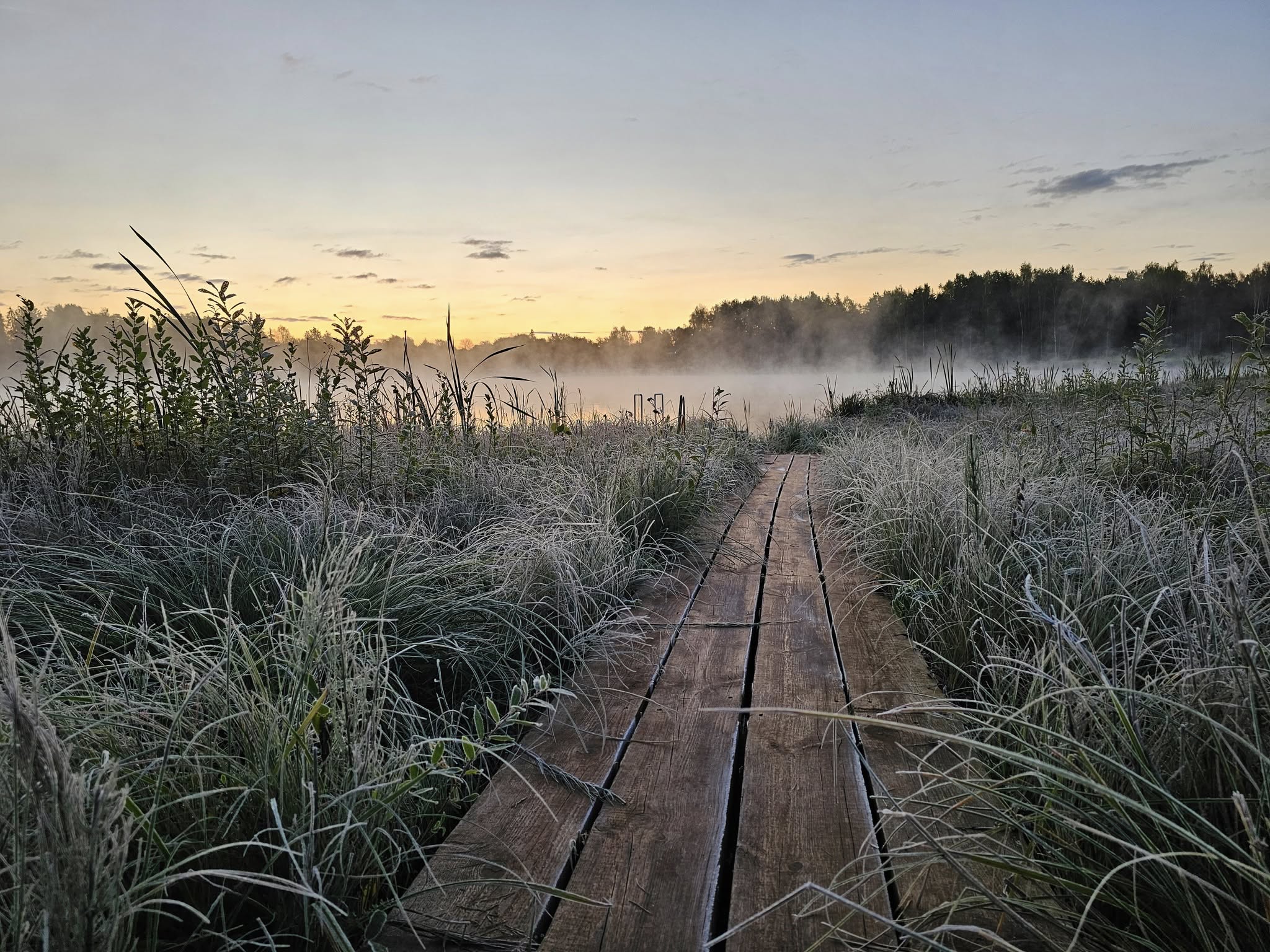
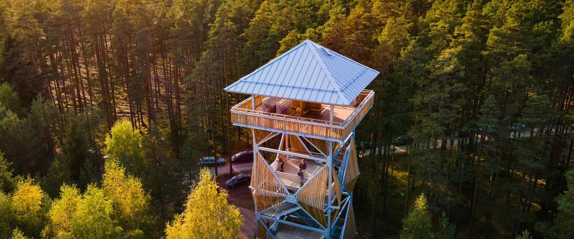
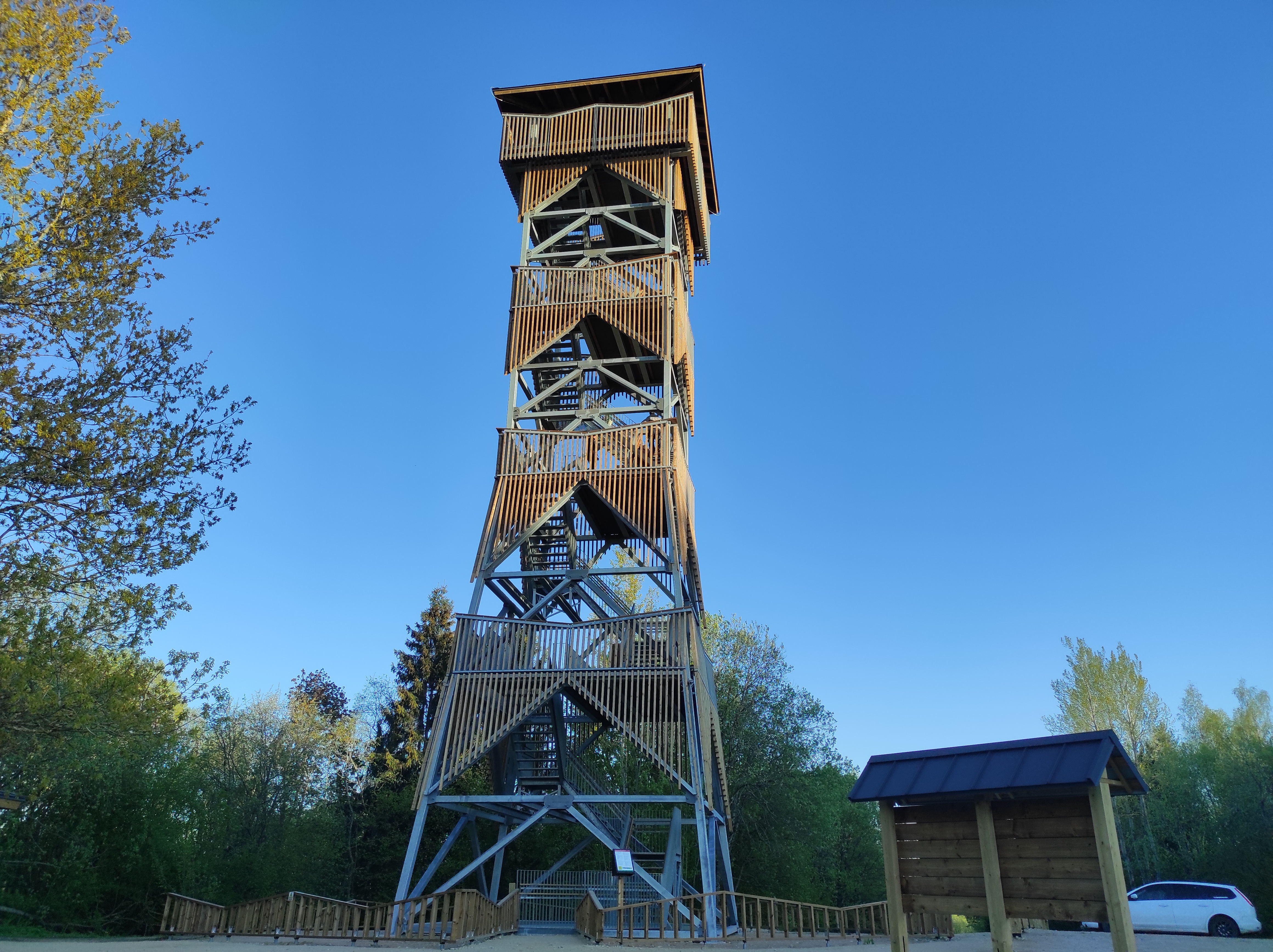
In the heart of the town of Elva, located in Tartu County, lies the scenic Arbi Lake, offering visual beauty with its rich vegetation, illuminated nature trails, and surrounding pine forest, as well as plenty of activities for every visitor. The 1.2 km-long circular gravel path by the lake starts at the beach and is ideal for walking, running, and cycling.
The promenade offers various leisure opportunities – here you can relax, enjoy the quiet and beautiful views, or taste currants picked directly from the bush. Near the lake is the Elva Cultural Center, where you can visit free exhibitions and learn about local life.
Hansen Avenue, which intersects with the nature trail and offers excellent views of the lake, is a popular spot for walkers and has served as a romantic setting for several weddings.
Along the nature trail, there are 10 information boards and stands that offer a comprehensive overview of life around Arbi Lake and its shores, revealing the long-term connection between humans and the lake.
Amenities

  • Information boards
  • WC
  • Free parking

Open times

Throughout the Year

Around the Clock

Contact

  • +372 5353 6329
  • turism@elva.ee

Links

visitelva.com

See more

  • Hiking Trails

RMK Voorepalu Põrgurada trail

The hiking trail, which is suitable for a pleasant walk, starts on the other side of the road opposite the Voorepalu campfire site and runs along an extremely varied landscape with several steep ascents and descents. The trail has information boards introducing past events and folklore and the highest point of the trail has a table and benches for resting. Rope railings have been installed on the steep slopes of the trail.The historical Postal Road runs between the campfire site and the hiking trail. Ristimänd tree and many other exciting places are on the trail with a varied landscape. Two cars can park at the campfire site.

  • Hiking Trails

Mustjärve hiking trail

A beautiful bog lake hides in the shade of a pine forest in the northern part of the Lulli bog next to Lake Võrtsjärv. The natural lake is large (23 ha) and very shallow (there is only a metre of water here).The hiking trail starts at the information stand in the car park. Further on, the boardwalk leads directly to the water, which offers scenic views of the lake and the surrounding bog landscape. The short hiking trail (2.3 km) runs around the lake. It is impossible to get lost here, because the trail is circular and everyone finally gets back to the starting point.In the second half of the summer, cloudberries, blueberries, cranberries, and mushrooms can be picked from the surroundings.

  • Hiking Trails

Murrumetsa Hiking Trail

Murrumetsa Hiking Trail starts from the Pühajärve Manor Park and runs through Murrumetsa forest back to the park. It takes about 1-1.5 hours to pass the 3.5 km track. There are information boards next to the track that give information about the flora and fauna of our forests and cultivated landscapes. The track passes the ancient Pühajärv War Oak (circumference 6.98 m and height 22 m) and the commemorative stone to mark the Pühajärv War of 1841, which can be found among the oaks of Murrumets Forest. There are also rest areas and fire sites by the trail.

  • Lookout towers
  • Hiking Trails

Harimägi and Harimäe Observation Tower

Harimägi is one of the largest mesas in the Otepää Uplands (211 m above sea level). It is worth coming to Harimäe whenever you are near Otepää. The Harimäe Observation Tower is located 3 km from Kääriku in the direction of Sangaste. The height of the tower is 28 m, and the highest viewing platform is 24 m high. The tower offers views of the Otepää mountains and across the Väike Emajõgi valley to the Karula upland. Camping is also allowed at the tower. Good to know: Harimägi is also called 'Leenard and Leonhard's hill.' From 1816 to 1819, geodetic surveys were carried out here by the internationally recognised astronomer and surveyor Friedrich Georg Wilhelm Struwe (1793–1864).

  • Hiking Trails

Hiking trail in the Rõuge Primeval Valley

The Rõuge Primeval Valley hiking trail is as straight as a line, 10 km long, it begins at Hinni Canyon or in the Ööbikuoru Centre parking lot. Beginning at the Ööbikuorg start point, the trail runs along the shores of seven lakes towards Hinni Canyon and offers hikers an opportunity to observe the workings of the area's water rams, see the deepest Estonian lake – Rõuge Suurjärv and visit Rõuge Park.Further on, on the shores of Lakes Ratasjärve, Tõugjärve and Kahrila, hikers can see the local forest communities, rest in meadows or enjoy the village landscape and proceed along the short path towards Hinni Canyon.

  • Hiking Trails
  • Parks

Pühajärve War Oak

You'll need several people to measure the circumference of the ancient, nearly 400-year-old oak tree towering nearby Lake Pühajärv in Otepää! The trunk of this ancient tree has a circumference of 6.6 meters. It is called the War Oak because it has witnessed many historical events. Apparently, peasants of the Pühajärv Manor refused to work for the manor in autumn 1841 and the rebels were punished near the oak. The Pühajärve War was one of the first peasant uprisings against the landlords in Estonia, and in memory of it, an oak tree was planted nearby, where a memorial stone was erected on the 130th anniversary of the uprising. A beautiful park with walking tracks surrounds the tree today, and although the ancient tree is no longer in its full glory, it stands here to its full dignity, recalling times gone by.

  • Beaches

Lake Saadjärv

Lake Saadjärv is the only lake to make the top ten of both the biggest and deepest lakes in Estonia. It covers 708 hectares and is 25 metres deep at its deepest point.It is the largest lake in the Vooremaa region, located in the Vooremaa Landscape Protection Area on the border of Jõgeva County and Tartu County. Lake Saadjärv and its boulders are associated with the legends of Kalevipoeg, the Estonian mythological hero.Lake Saadjärv is a popular recreational area and it offers activities throughout the year. There are a number of enterprises near the lake which offer a number of exciting activities. Additionally, there are cultural sites, museums, places for spending the night, and several sandy public beaches with playgrounds.

  • Hiking Trails

Võhandu Paddling Marathon

The 100-km-long downriver marathon runs on the Võhandu River in Võru and Põlva counties and is open all year round on ice-free days.The marathon starts from Võru town, on Lake Tamula and ends in Võõpsu village, Põlva County. The Võhandu River is surrounded by steep forest banks and numerous upright sandstone outcrops. There are several springs and spring caves in the rock walls and valleys. The Võhandu River provides a great rowing experience.Every year, on the third weekend of April, the world’s largest paddle marathon, the Võhandu Marathon, takes place on the Võhandu River, with 1,200 boats and more than 2,500 participants.

  • Collaboration
  • News
  • Contacts
  • Privacy Policy
Join our mailing list!

"*" indicates required fields

This field is for validation purposes and should be left unchanged.
I authorise marketing

South Estonia Tourism Cluster

info@visitsouthestonia.com