• Avasta
    • Еда
    • Природа
    • Культура
    • Семья
    • Спорт
    • Сообщество
    • Блог
  • Planeeri
    • Размещение
    • Информация
    • Varamu
RUS
  • РусскийRUS
  • EestiEST
  • EnglishENG
  • LatviešuLAT
  • SuomiFIN
RUS
  • РусскийRUS
  • EestiEST
  • EnglishENG
  • LatviešuLAT
  • SuomiFIN
Populaarsed otsingud:
Näita kõiki tulemusi
  • Nature and Activities
  • Nature
  • Hiking Trails

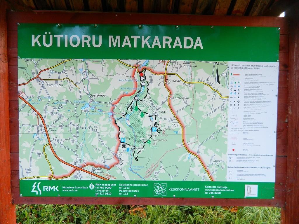
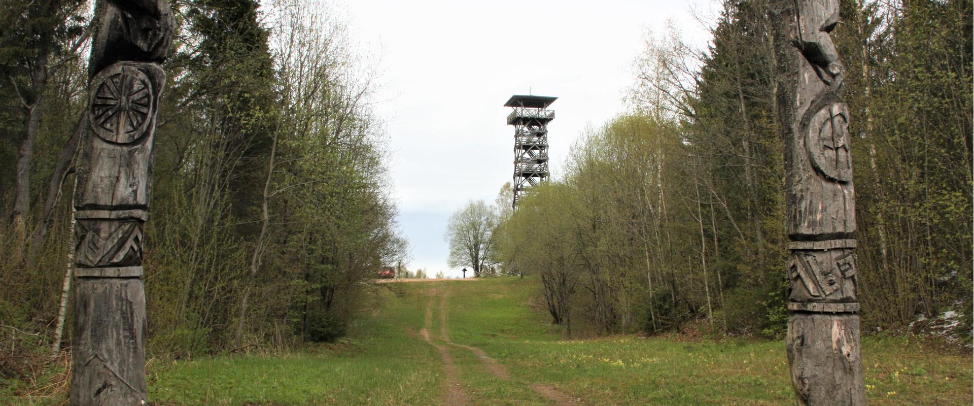
Kütioru hiking trail

Võru vald, Võru maakond, 65521

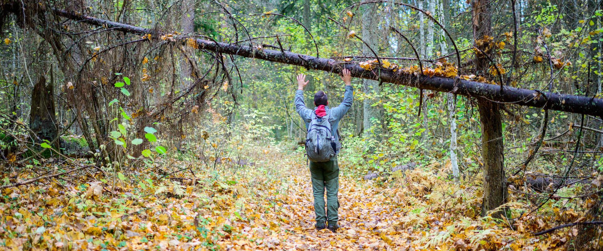
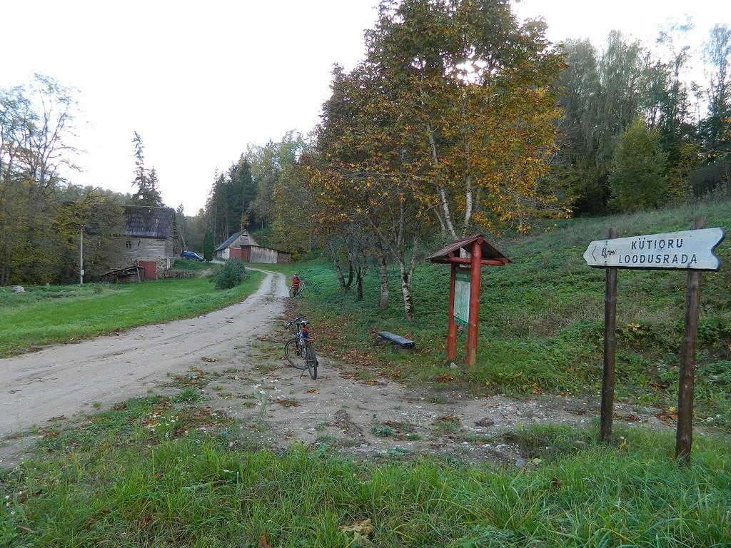
The hiking trail starts from the parking area near the Kütiorg Holiday Centre. The trail is diverse, with fairly steep and challenging terrain, so it’s recommended to allow four to five hours to complete it.
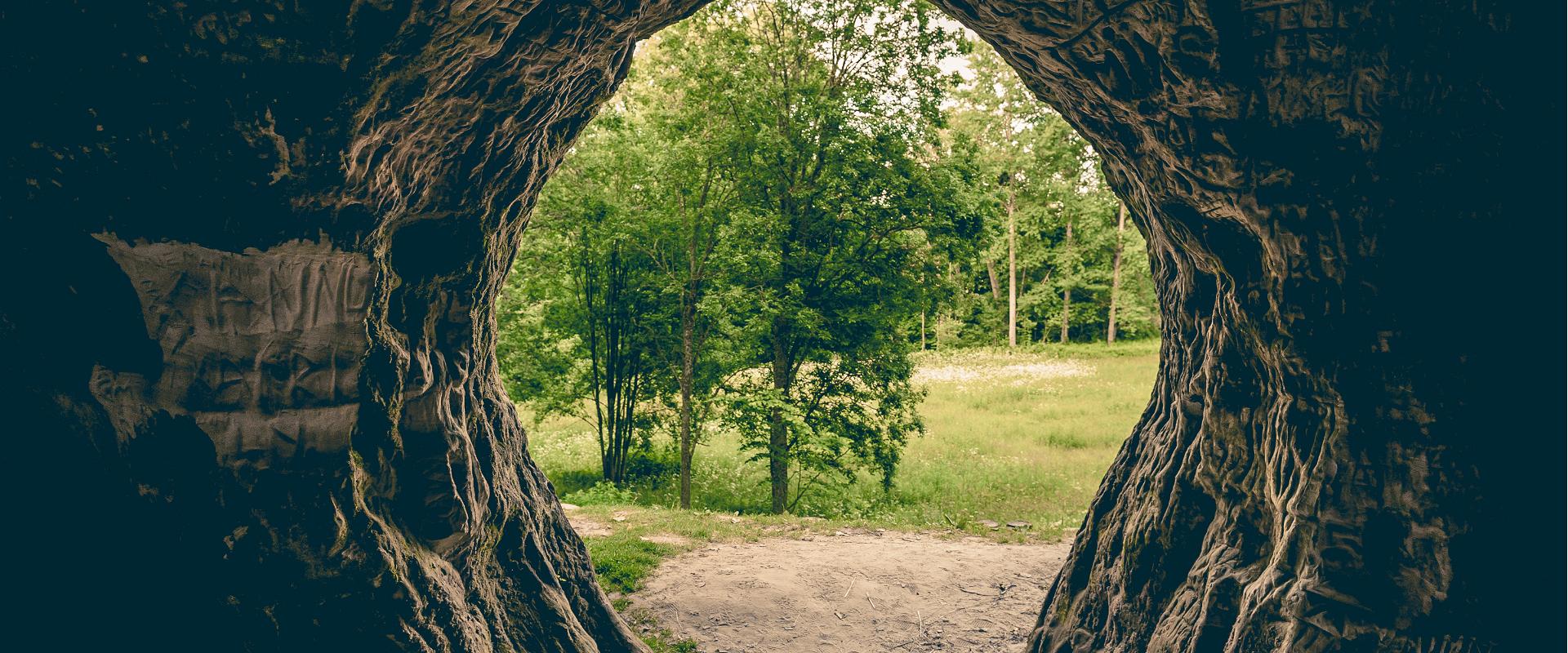
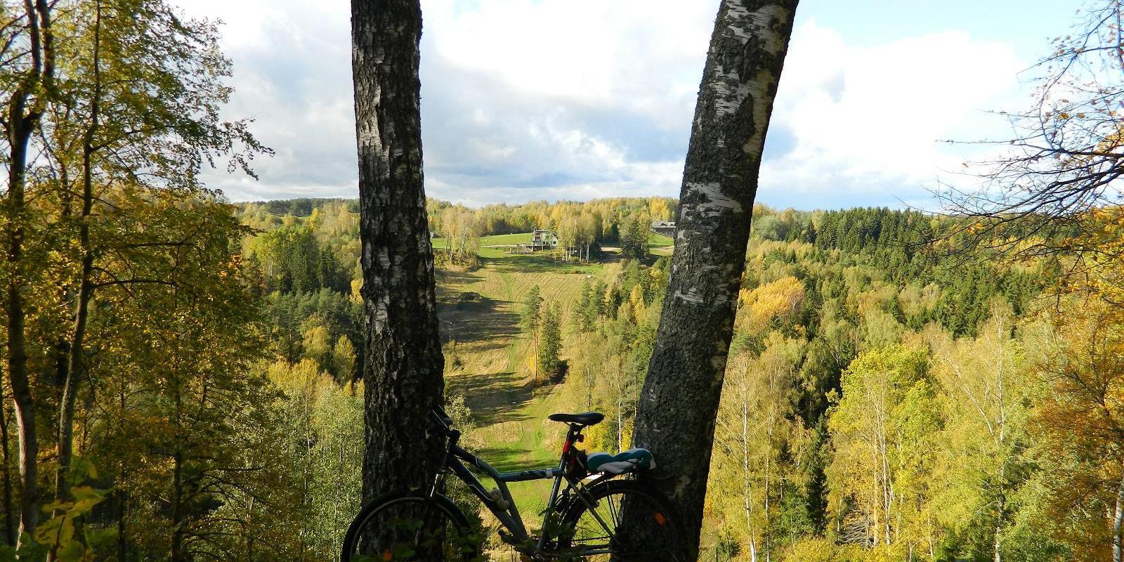
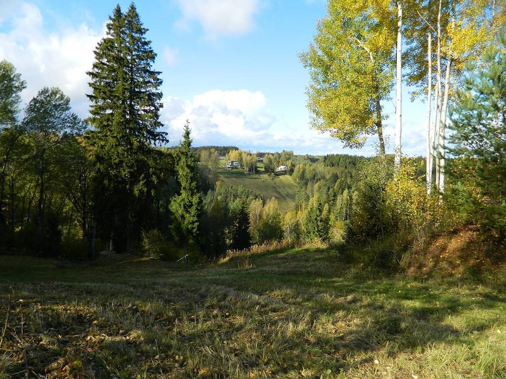
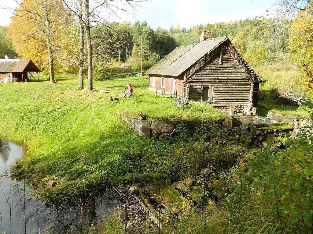
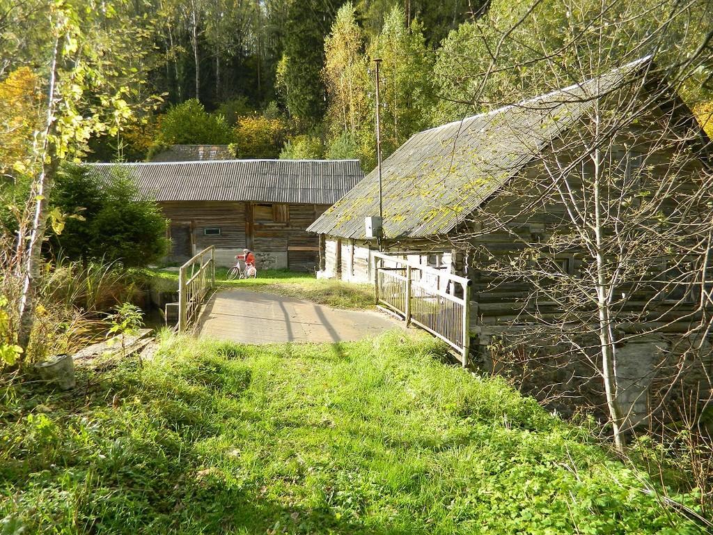
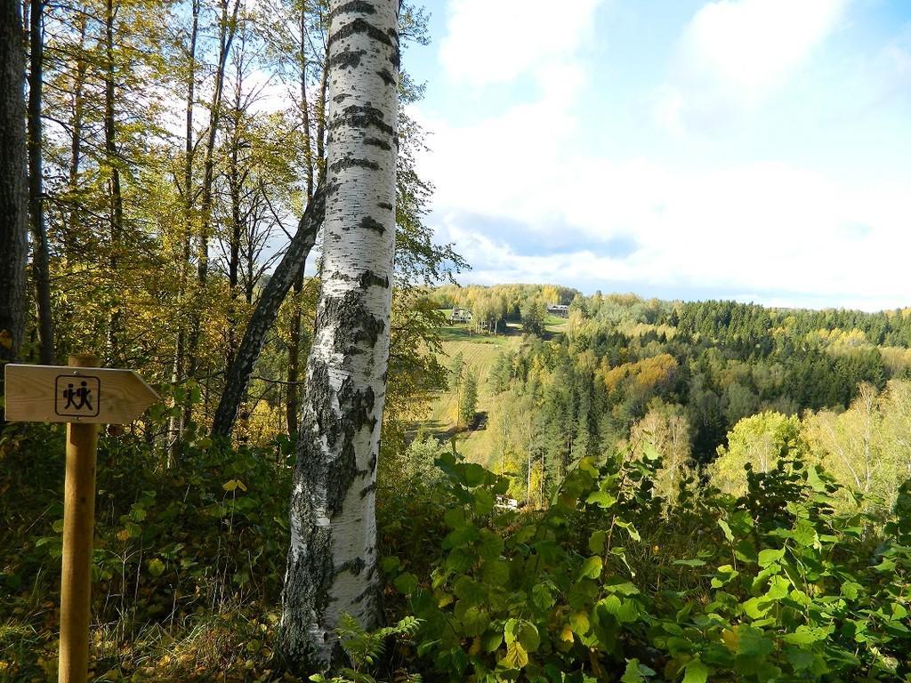
Along the trail, hikers get the best view of Estonia’s largest and most powerful ancient valley – Kütiorg – and can explore old mill sites and other cultural heritage landmarks. In the forested slopes of Kütiorg, there are spruce stands over a hundred years old, as well as exceptionally thick and tall aspen trees.
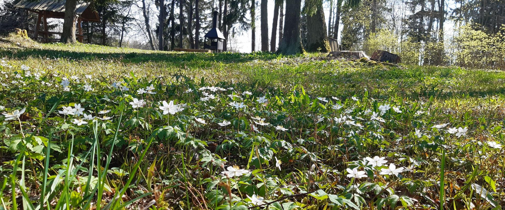
Near the starting point of the trail, there is a campfire site equipped with a grill grate.
Good to know: Part of the trail passes through private property, where dogs may roam freely.
Mugavused

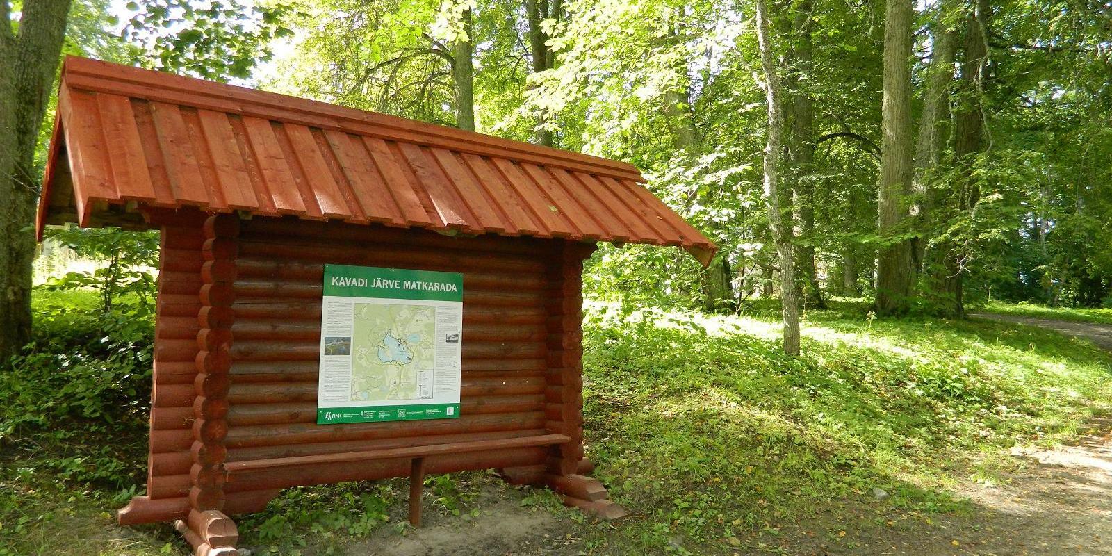
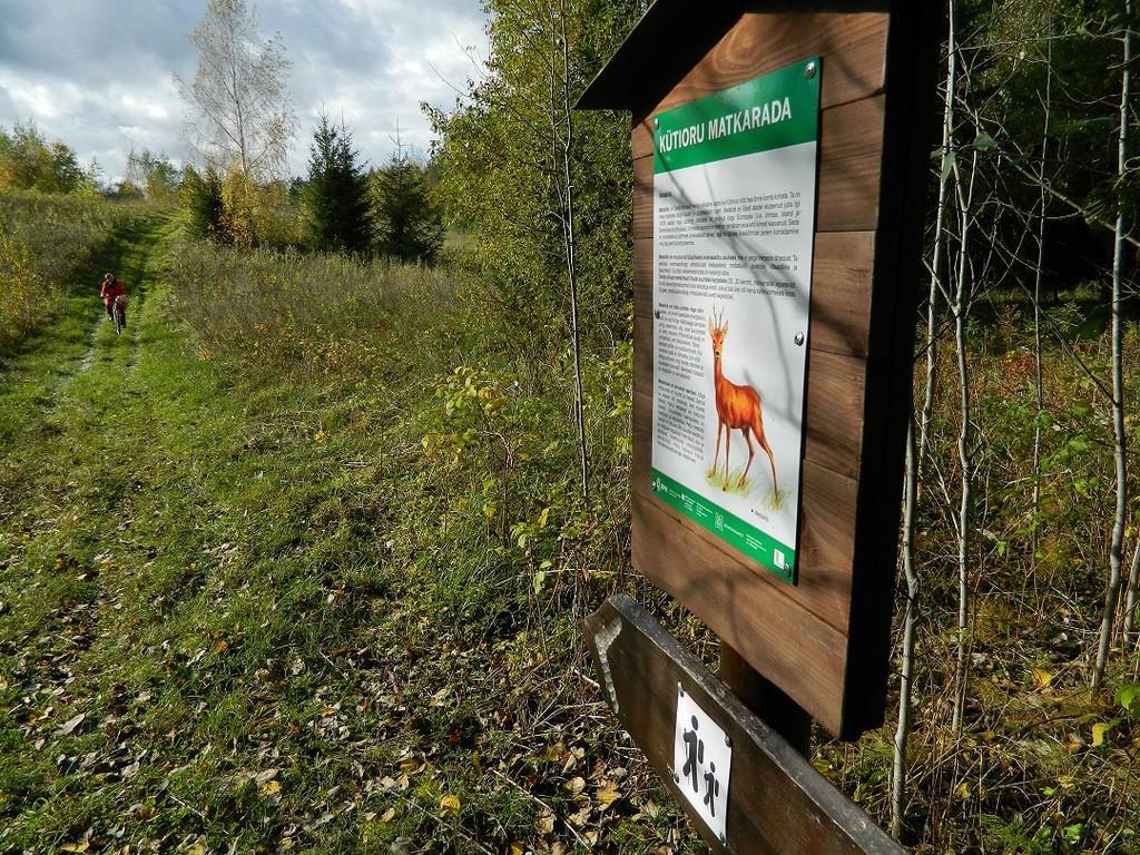
  • Information boards
  • Free parking

Lahtiolekuajad

Aastaringselt

Ööpäevaringselt

Kontakt

  • +372 782 1881
  • voru@visitestonia.com

Lingid

loodusegakoos.ee

Vaata lisaks

  • Hiking Trails

Lake Viti hiking trail and observation tower

The Lake Viti hiking trail is a nature trail that passes through an exciting hilly forest landscape. The trail information boards provide information about the Vitipalu forests, the woodpeckers that inhabit them, their nesting sites, the ant kingdom, and more. The trail features a hiking hut, a campfire site, Viti Lake, a 20-meter-high wooden observation tower overlooking the surrounding greenery, and a pleasant picnic spot with shelters. The Lake Viti trail is suitable for hikers of all ages, but it is not suitable for strollers or wheelchairs. The Lake Viti hiking trail begins and ends at the trail parking lot. The trail is marked with yellow stripes.

  • Camping sites
  • Hiking Trails
  • Beaches

Lake Pühajärv hiking trail

The hiking trail that encircles Lake Pühajärv starts near the centre of Otepää Nature Park. The 14 km trail takes you on a voyage of discovery around one of the most unique and beautiful lakes in Estonia. Covering the whole track takes from 3–6 hours. There are rest areas and barbecue sites along the way. Part of the track (approximately 2.2 km) runs along the Pühajärve–Kääriku exercise track by the Otepää–Kääriku highway. You can cover the track by foot or bike. Cyclists must bear in mind that there are parts of the track on which you will have to push your bike instead of riding it. The Angunina, Kiigemäe and Koolirand campfire sites are located on the trail. There, you can make a fire and camp.

  • Hiking Trails
  • Guided tours

Kiidjärve Visitor Centre

Kiidjärve Nature Centre is located in Kiidjärve-Kooraste recreation area on the banks of the picturesque Ahja River in Kiidjärve village. It seeks to guide visitors, young and old alike, to the beautiful scenery of the area so that the forest and nature itself will reveal their secrets to a keen observer. The nature centre has information materials and information about Kiidjärve-Kooraste, other RMK recreation areas, and other various attractions. In the immediate vicinity are famous celestial Taevaskoda sandstone outcrops, Kiidjärve Formica kingdom, and the picturesque Valgesoo bog.

  • Hiking Trails

Lake Verijärv nature studies trail

Lake Verijärv nature studies trail is around 1 km long and has 9 information boards showcasing plants, trees, bushes, birds and animals. The trail runs through the Lake Verijärv ancient valley and wood. There are signs along the trail as well as three barbecue areas with benches.There are various legends about Lake Verijärv. It is said that the lake got its name centuries ago when slaves were punished in the old cellar that stood on the shore and their blood turned the water red. Another legend speaks of the nasty lord of Kasaritsa Manor, who was drowned by his coachman with his carriage and horses while driving home one night.

  • Hiking Trails

Alatskivi Hiking Trail

The 4.5 km long trail around Lake Lossijärv with its varied terrain and beautiful views offers visitors plenty of excitement and sights at any time of year.The trail starts at Alatskivi or by the Bed of Kalevipoeg. Alatskivi Castle and Castle Park, Hirveaed Garden, Sheep Bridge, Bed of Kalevipoeg, Lake Veskijärv, and Lake Lossijärv are all along the trail. There are two large information boards on the trail, log stairs in the Bed of Kalevipoeg, two bridges, signs, and small information boards that introduce the objects found in the protected area.

  • Hiking Trails
  • Birdwatching

Tamme Outcrop hiking track

Tamme Outcrop hiking track is located on the eastern shore of Lake Võrtsjärv between the villages of Tamme and Neemisküla in Elva municipality. The area is rich in Devon sandstone outcrops from the Aruküla layer. Tamme Outcrop, which is located on the track, is an area where placoderms have been found and where valuable paleontological material has been collected since the second half of the 19th century.Ten information boards have been set up along the hiking track, which is almost 2 km long. They provide interesting information about the local natural environment. If you walk 1 km north on the track, you can turn back and hike back along a field or on a forest trail on the outcrop.

  • Hiking Trails

Hiking trail in the Rõuge Primeval Valley

The Rõuge Primeval Valley hiking trail is as straight as a line, 10 km long, it begins at Hinni Canyon or in the Ööbikuoru Centre parking lot. Beginning at the Ööbikuorg start point, the trail runs along the shores of seven lakes towards Hinni Canyon and offers hikers an opportunity to observe the workings of the area's water rams, see the deepest Estonian lake – Rõuge Suurjärv and visit Rõuge Park.Further on, on the shores of Lakes Ratasjärve, Tõugjärve and Kahrila, hikers can see the local forest communities, rest in meadows or enjoy the village landscape and proceed along the short path towards Hinni Canyon.

  • Hiking Trails

Hiking trail Green Railways Valga / Valka–Ape

The Valga/Valka–Ape narrow gauge railway was opened to traffic in 1900 and the last trains ran here in 1970.Today, most of the old railway embankment is used as a hiking trail that runs through forests and fields on gravel and dirt roads.On the Valka–Žuldin and Koikküla–Hargla section, the trail is redirected to larger roads, because the former railway dam is mostly impassable there.Many old railway photographs and historical stories related to the railway have been attached to the old sleepers on the railway dam.There is a resting place in Hargla.

  • Privacy Policy

"*"обозначает обязательные поля

Это поле используется для проверочных целей, его следует оставить без изменений.
Я разрешаю маркетинг