• Открой
    • Еда
    • Природа
    • Культура
    • Семья
    • Спорт
    • Сообщество
    • Блог
    У Вас появились свободные выходные, чтобы провести с детьми? Здесь собраны лучшие места в Южной Эстонии для семейного отдыха
  • Планируй
    • Размещение
    • Информация
    • Varamu
    Sustainability
RUS
  • РусскийRUS
  • EestiEST
  • EnglishENG
  • LatviešuLAT
  • SuomiFIN
RUS
  • РусскийRUS
  • EestiEST
  • EnglishENG
  • LatviešuLAT
  • SuomiFIN
Populaarsed otsingud:
Näita kõiki tulemusi
  • Nature and Activities
  • Nature
  • Hiking Trails

Helme caves

Valgamaa Kutseõppekeskuse, Tõrva vald, Valga maakond, 68608

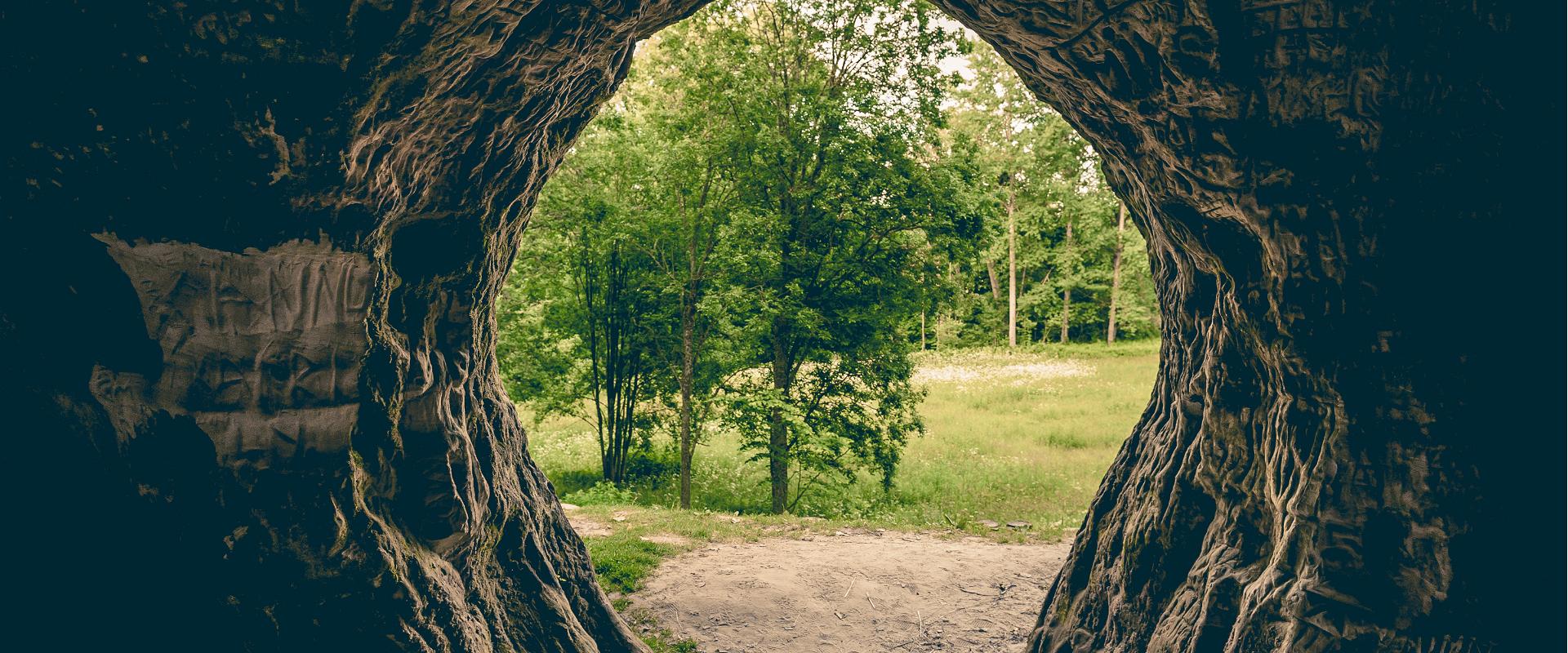
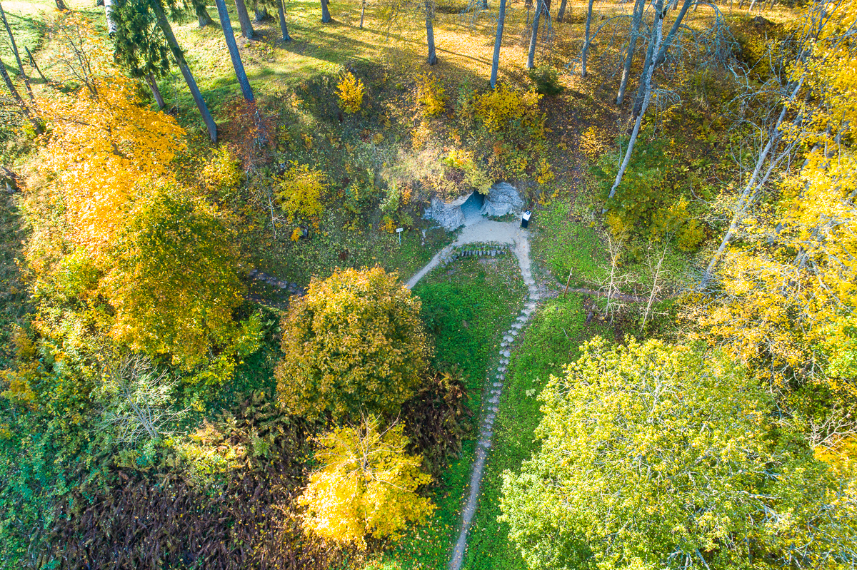
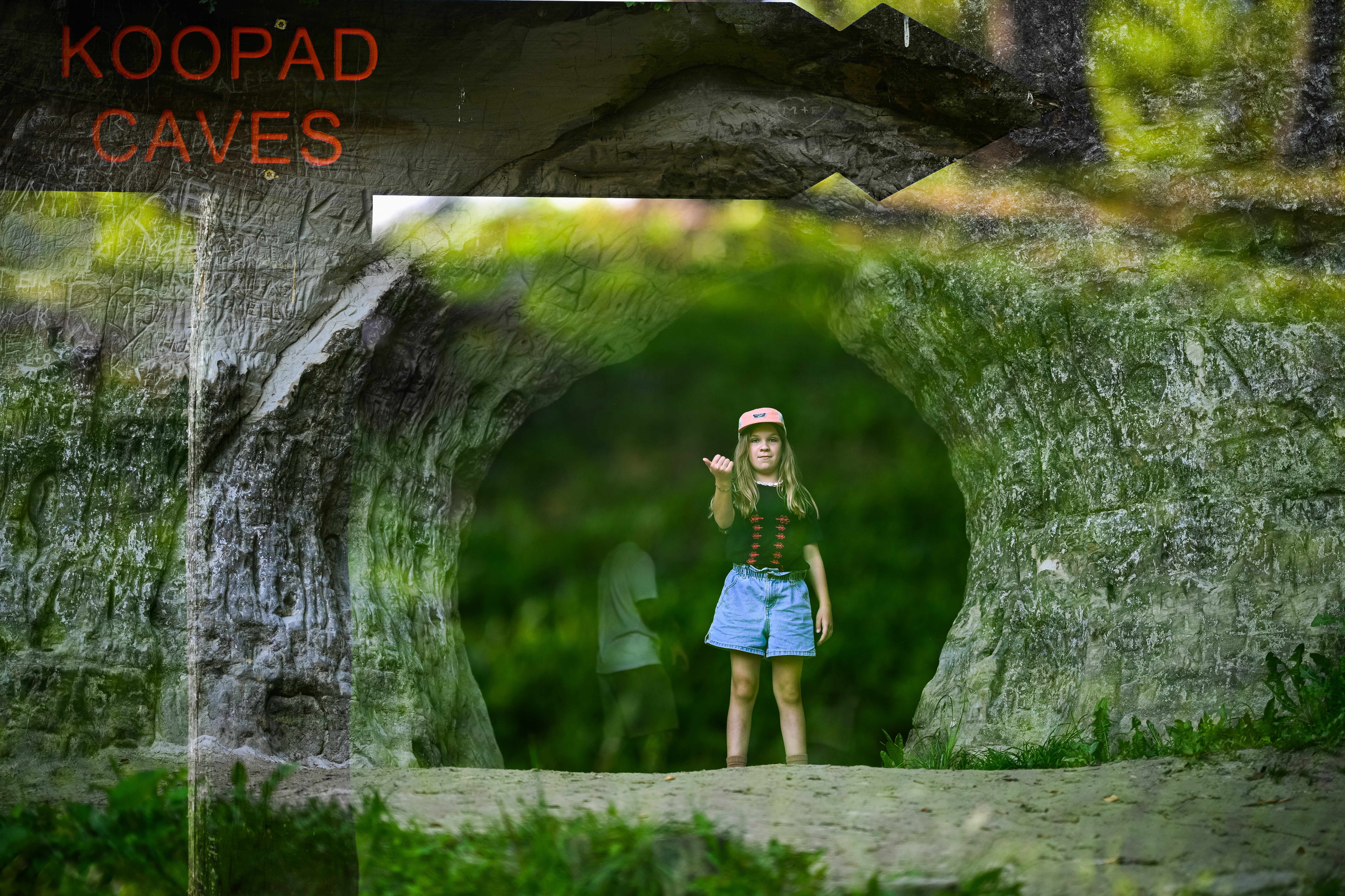
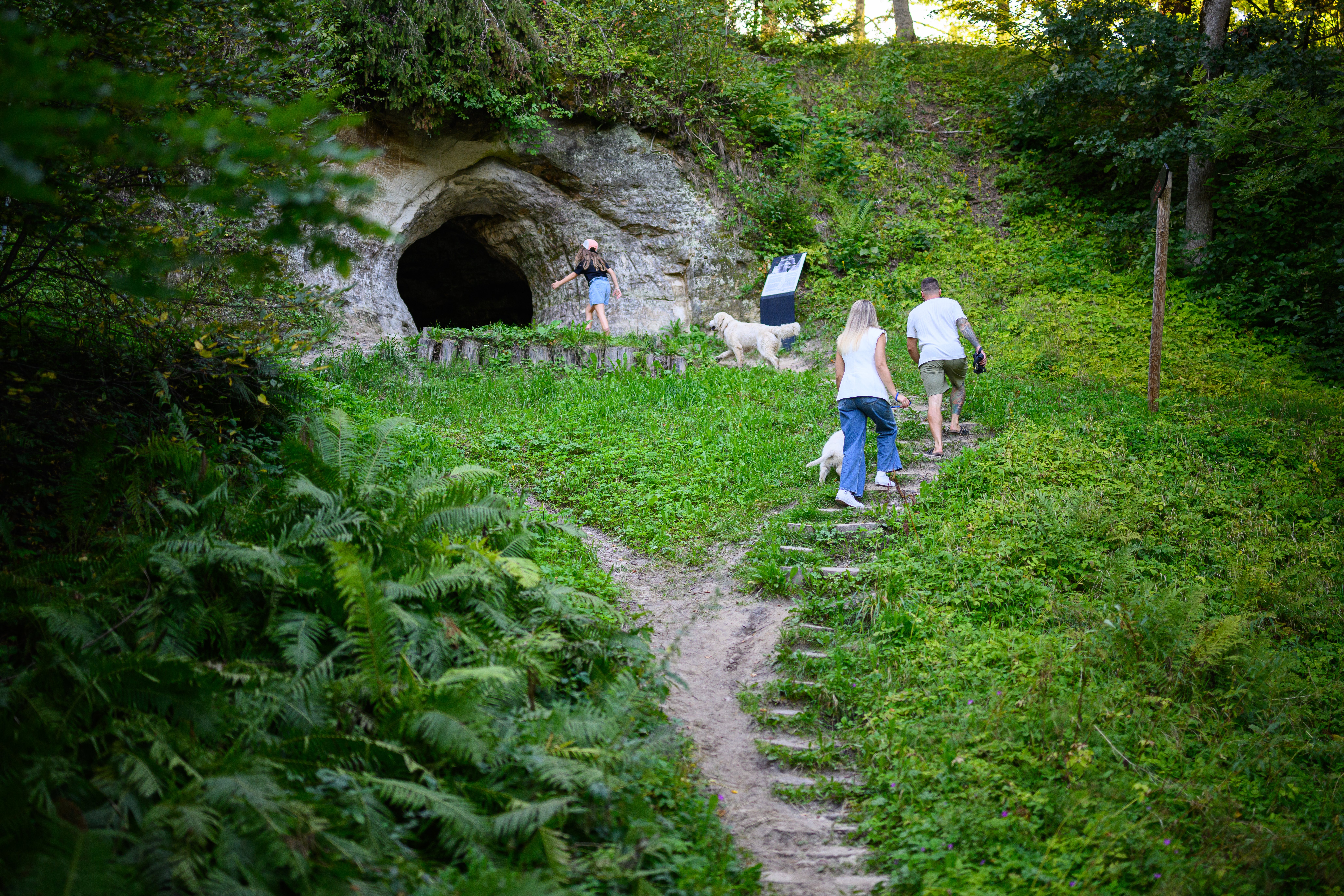
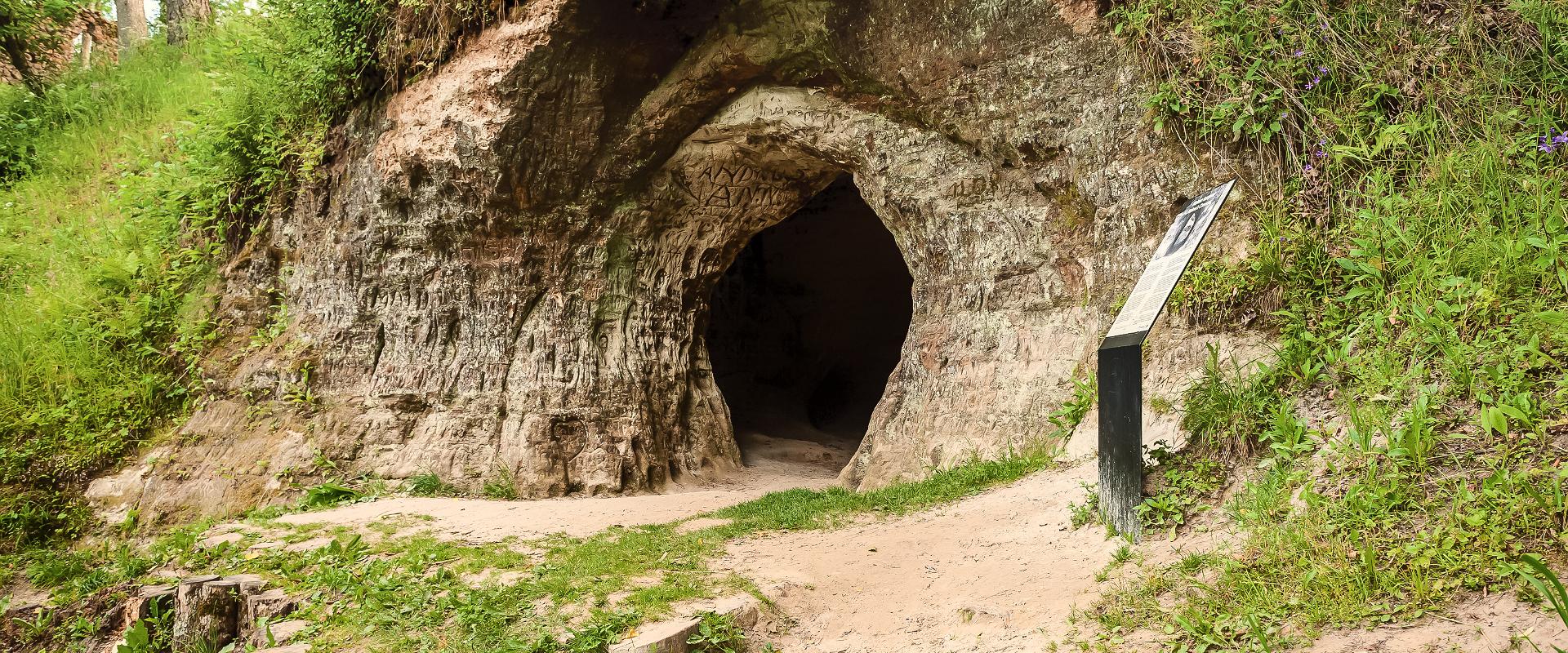
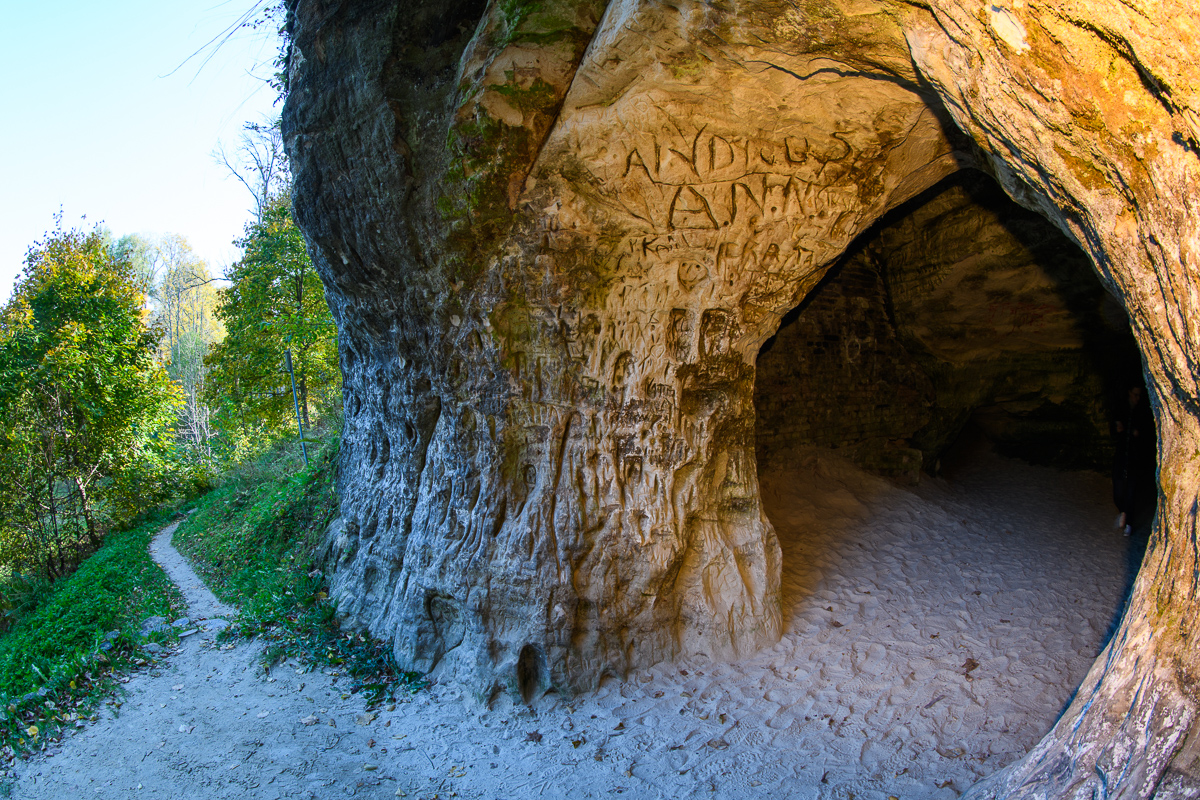
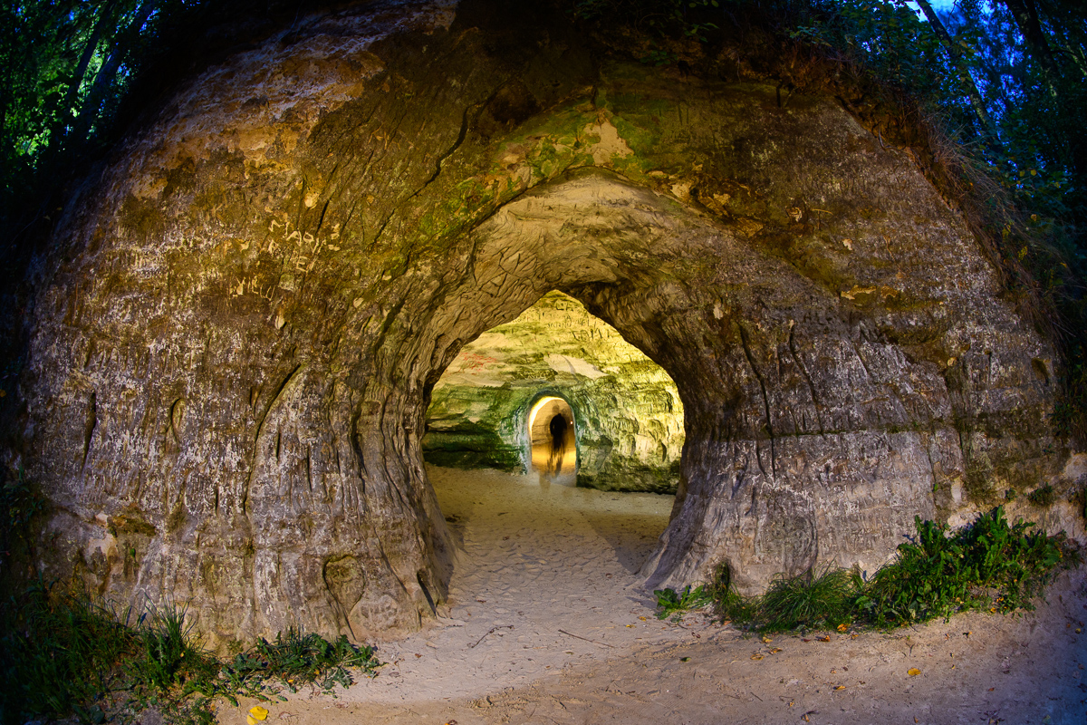
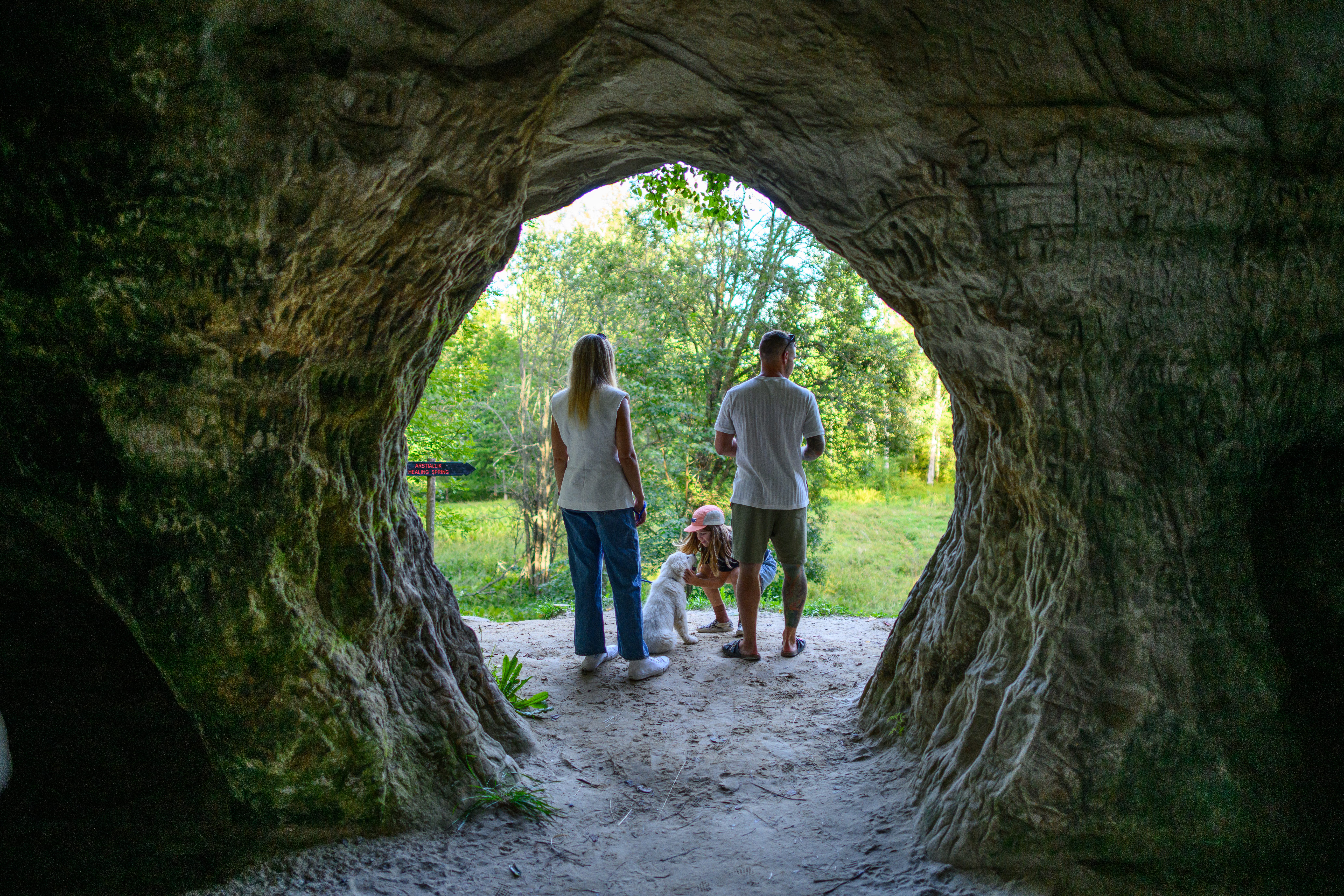
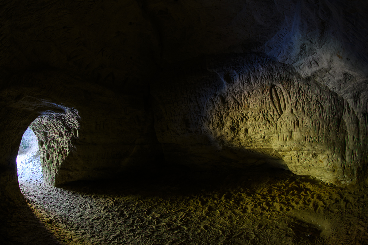
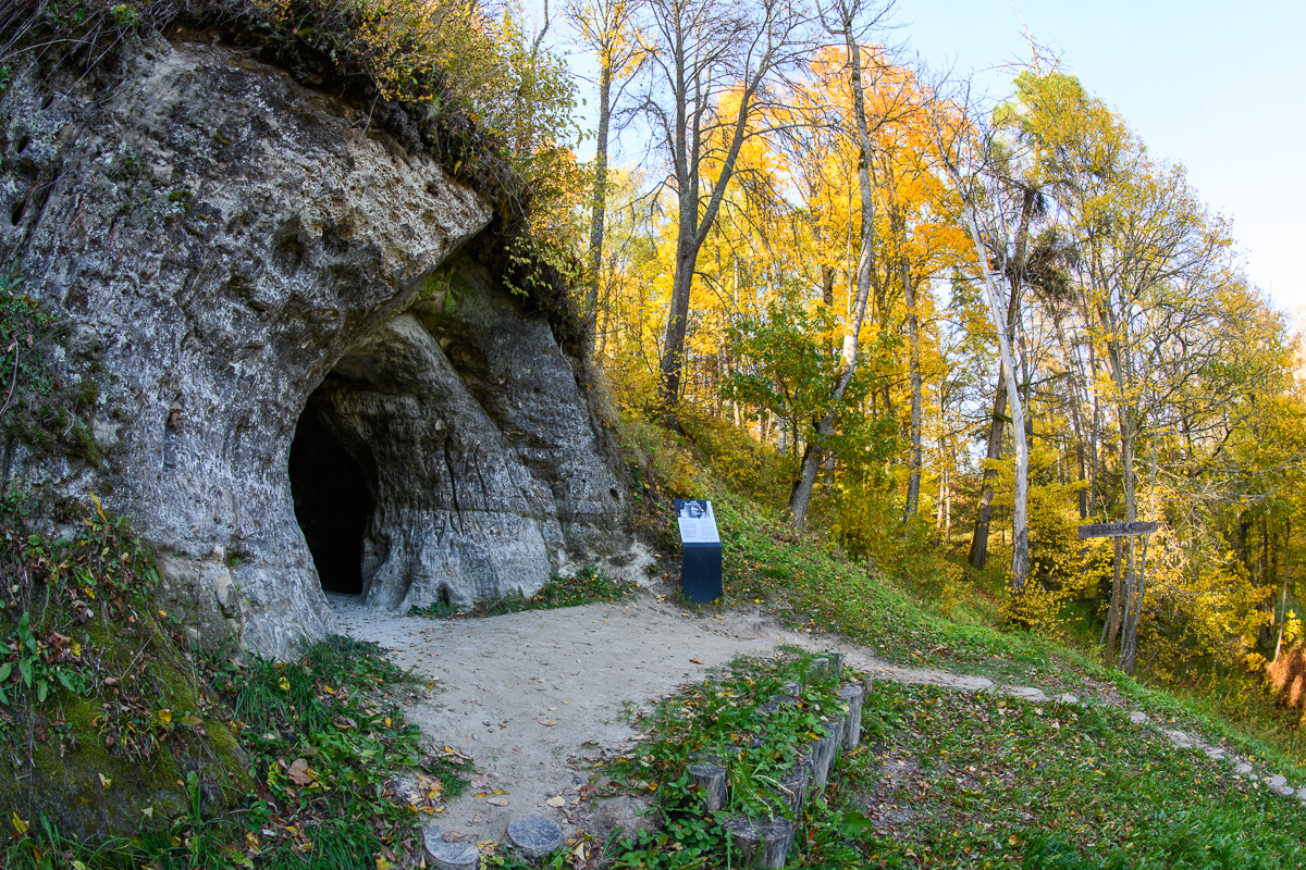
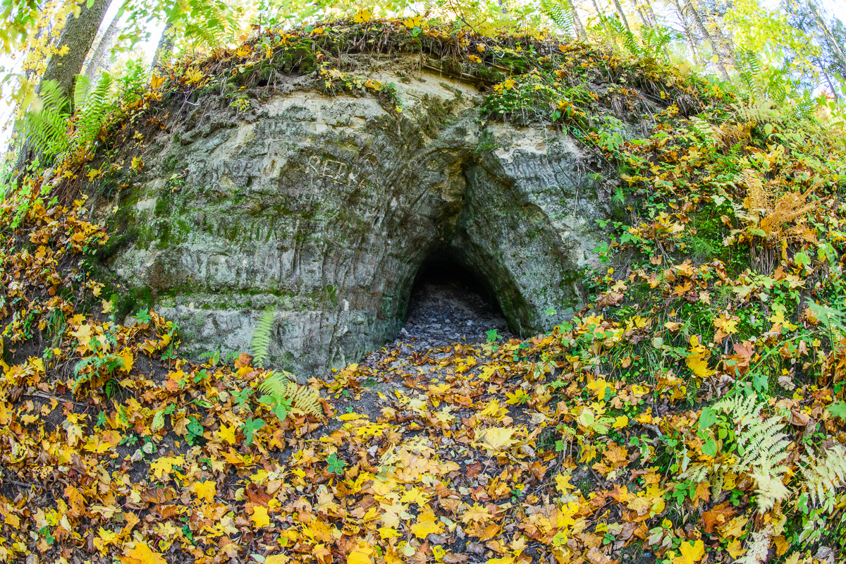
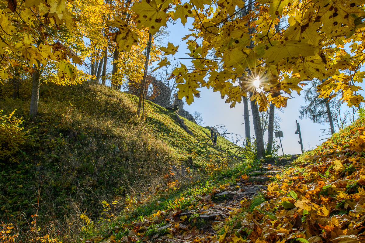
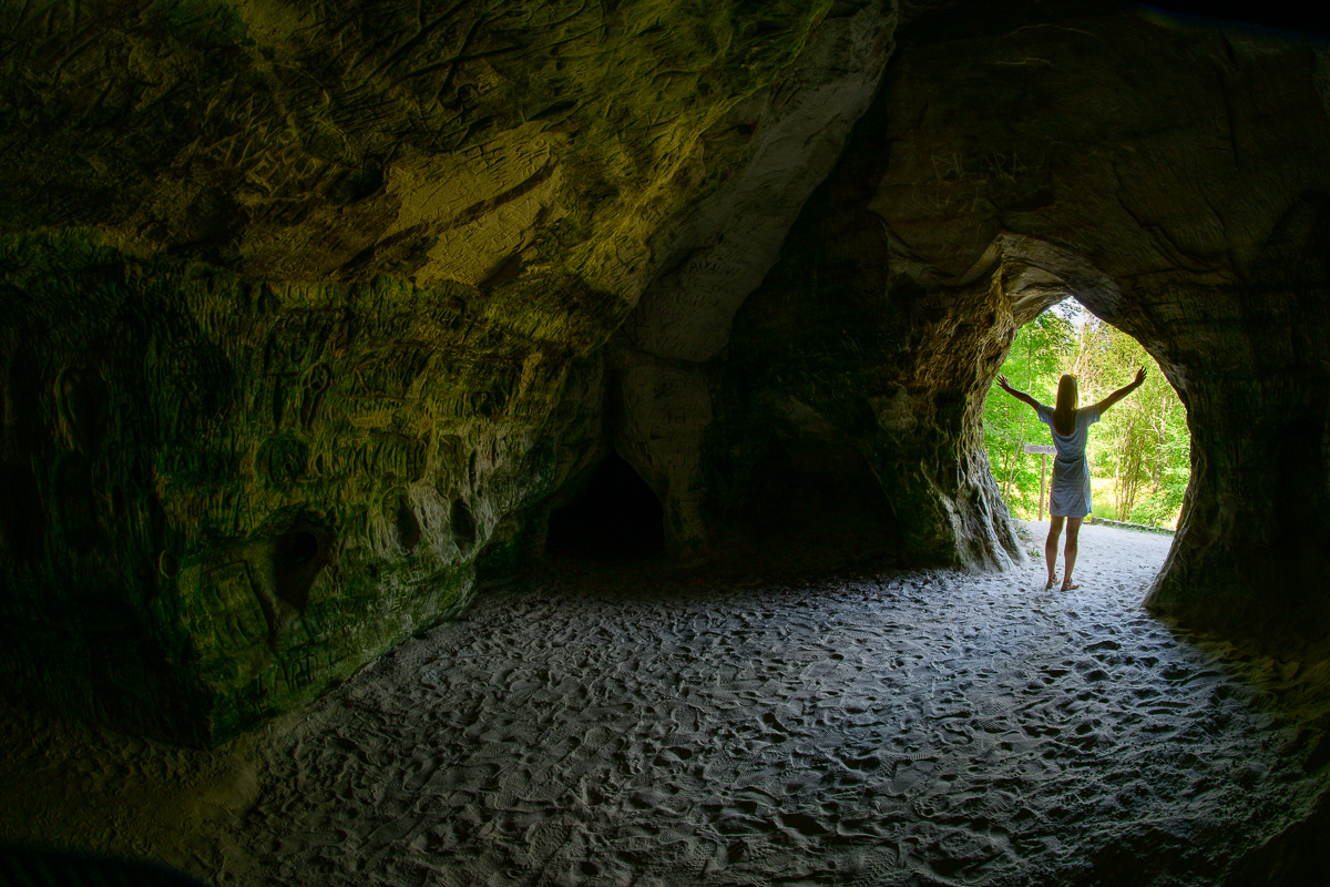
Located in the manor park of the same name, the Helme caves, are an unrivalled sight in Estonia. Situated to the north of castle ruins, the caves have a white Burtniek layer of sandstone walls standing 3 m high. Unfortunately for cave lovers though, some of the better known caves have already collapsed. Once comprised of seven interlinked chambers, the biggest of which was known as the Church of Moses. Peppered with springs, the caves have a long history; and over the years they have been dug out and used as shelters when needed. Did you know…?: In ancient times the Helme caves were also known locally as the gateway to Hell.Kivialune (under the rocks) was a shelter for Old Estonians during the wars.
Mugavused

  • Information boards
  • WC
  • Drop Toilet
  • Free parking

Часы работы

Круглый год

Ööpäevaringselt

Контакты

  • +372 7665310
  • torva@torva.ee

Ссылки

Подробнее

  • Lookout towers
  • Hiking Trails

Kekkonen hiking track

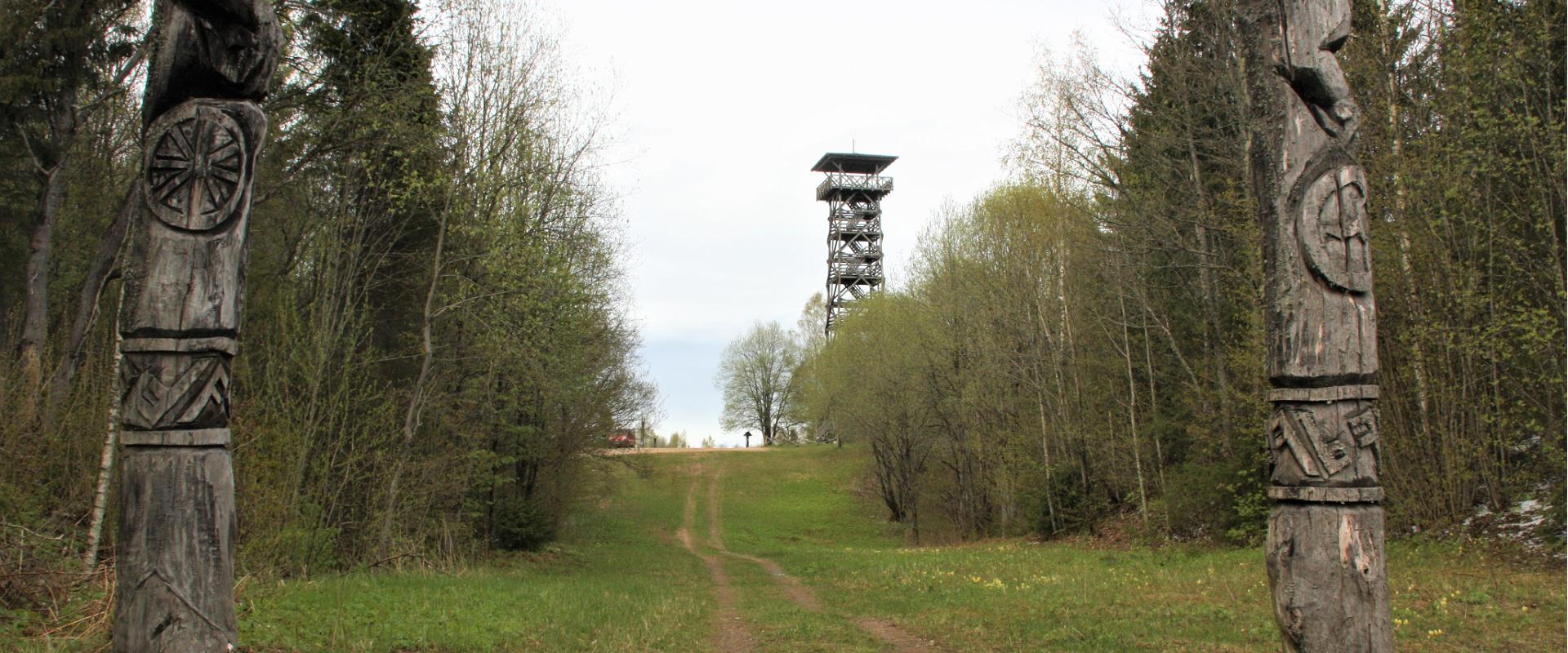
The Kekkonen hiking track can be used all year round – in summer for hiking, jogging and cycling and in winter for skiing. The track was named after former Finnish president Urho Kaleva Kekkonen, who visited Kääriku. The 15 km track starts from Kääriku stadium and passes through several spots of natural beauty, including Harimägi Hill – one of the highest points in the Otepää Highlands (211.3 m above sea level). Its viewing tower, which stands 26 metres high, is right next to the hiking track. Those with more energy can follow the additional 5 km loop on Harimägi Hill.

  • Lookout towers
  • Hiking Trails

Valgesoo study trail

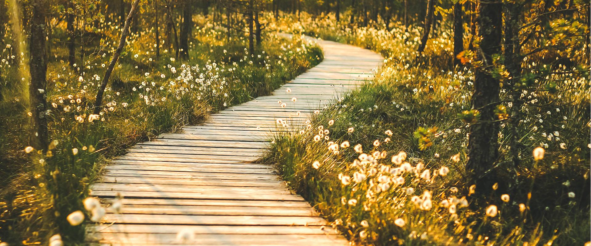
The study trail is well-suited for getting acquainted with the development and vegetation of bogs and for observing pine cultures. A 1.8 km long circular study trail revolves around the Valgesoo bog. On the she study trail you can explore the bog vegetation, old pine plantation ("Baron's pine forest"), and a forest edge rich of Scottish wood ants. The whole trail is accessible by a wheelchair or stroller. To facilitate movement on the track, there is a track map and colour markings on the trees. There is an observation tower and a campfire site at the start of the study trail.Valgesoo bog is one of the 21 places worth discovering in Southern Estonia, which is suggested to be visited for those who are interested in nature.

  • Hiking Trails

Taagepera hiking trail

The total length of Taagepera hiking trail is 5.4 km. The trail begins and ends at the Taagepera campfire site and partly runs along the shores of the Õhne River. The trail can also be completed in smaller circles – 1.6 km and 4.0 km long. There are wooden signposts and information boards at the hiking trail, capfire site is suitable also for camping.The main sights of the hiking trail include the Taagepera Castle with the Castle Park, Taagepera Church and the Cemetery, the graveyard of barons, the Musukivi rock, the sacrificial stone, the underground cemetery, and the Õhne River.A truly inspiring hike full of history, architecture, and ancient nature!

  • Camping sites
  • Hiking Trails

Soontaga hiking trail

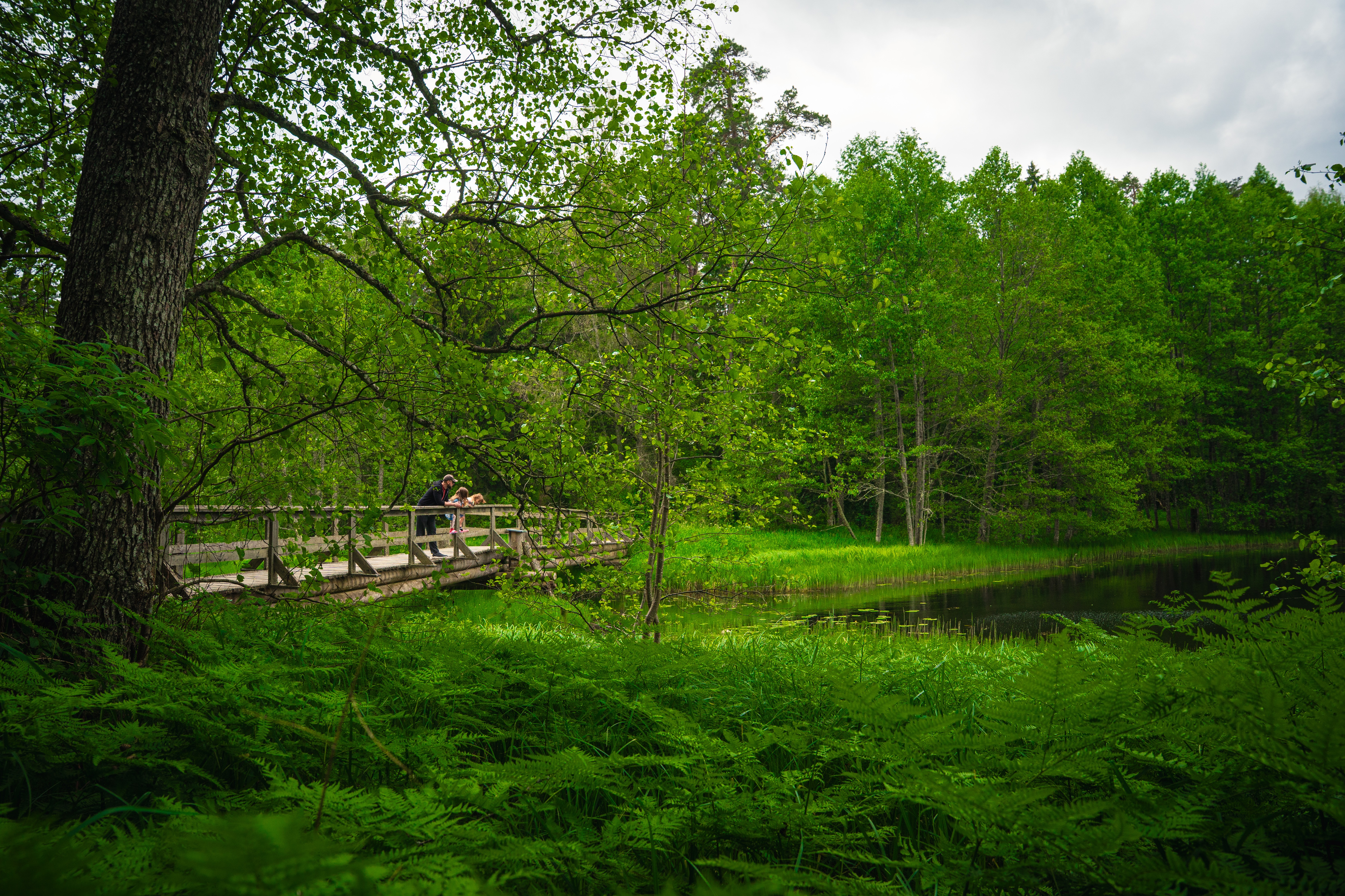
The Soontaga hiking trail is located at Kiidjärve-Kooraste recreation area. The hiking trail runs along the typical Southern Estonian mixed forests and arrives at the Väike-Emajõgi river. The hiking trail, which can be completed on foot, runs in a circle.There are several information boards at the hiking trail, which describe the nature of the area. The beautiful bodies of water at the hiking trail are equipped with bridges. In addition to the hiking trail there is the Soontaga campsite with campfire places at the recreation area.If you visit the hiking trail during the season, you might find forest berries or mushrooms on our journey.

  • Hiking Trails

Taevaskoja–Otteni–Taevaskoja hiking trail

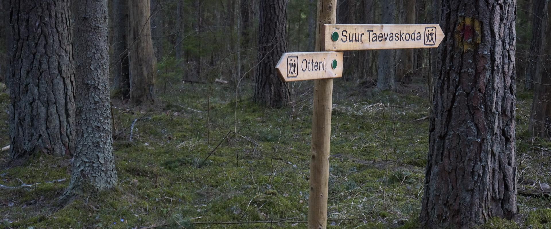
The hiking trail, which starts from Suur Taevaskoda, runs on the high banks of the Ahja River and on the tracks of the menu film The Last Relic. Suur Taevaskoda, the partially preserved Otten or Valgesoo watermill complex, the two-vaulted Otten mill bridge, and the miniature canyon, which became famous thanks to the film The Last Relic, picturesque views of the Ahja River, and a pit of a forest brothers' bunker can be seen on the hiking trail. The trail is marked with green colour on the trees and signs and there are several information boards on the trail. It is possible to camp and make a campfire at the Otten campfire site. When coming by car, the hike starts from Saesaare car park and therefore, the trail is about 2 km longer.

  • Hiking Trails

Tõrvandu forest study trail

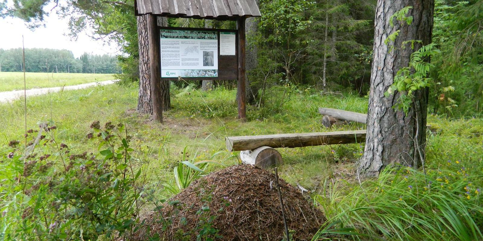
The 3 km Tõrvandu forest study trail starts at a crossroads about 400 metres from Pähni Nature Centre. This marked and explained hiking trail is meant for everyone interested in the forest. There are campfire grounds, camping area and shelters on the trail. The 25 observation points of the trail are also permeable by car.

  • Hiking Trails
  • Birdwatching

Tamme Outcrop hiking track

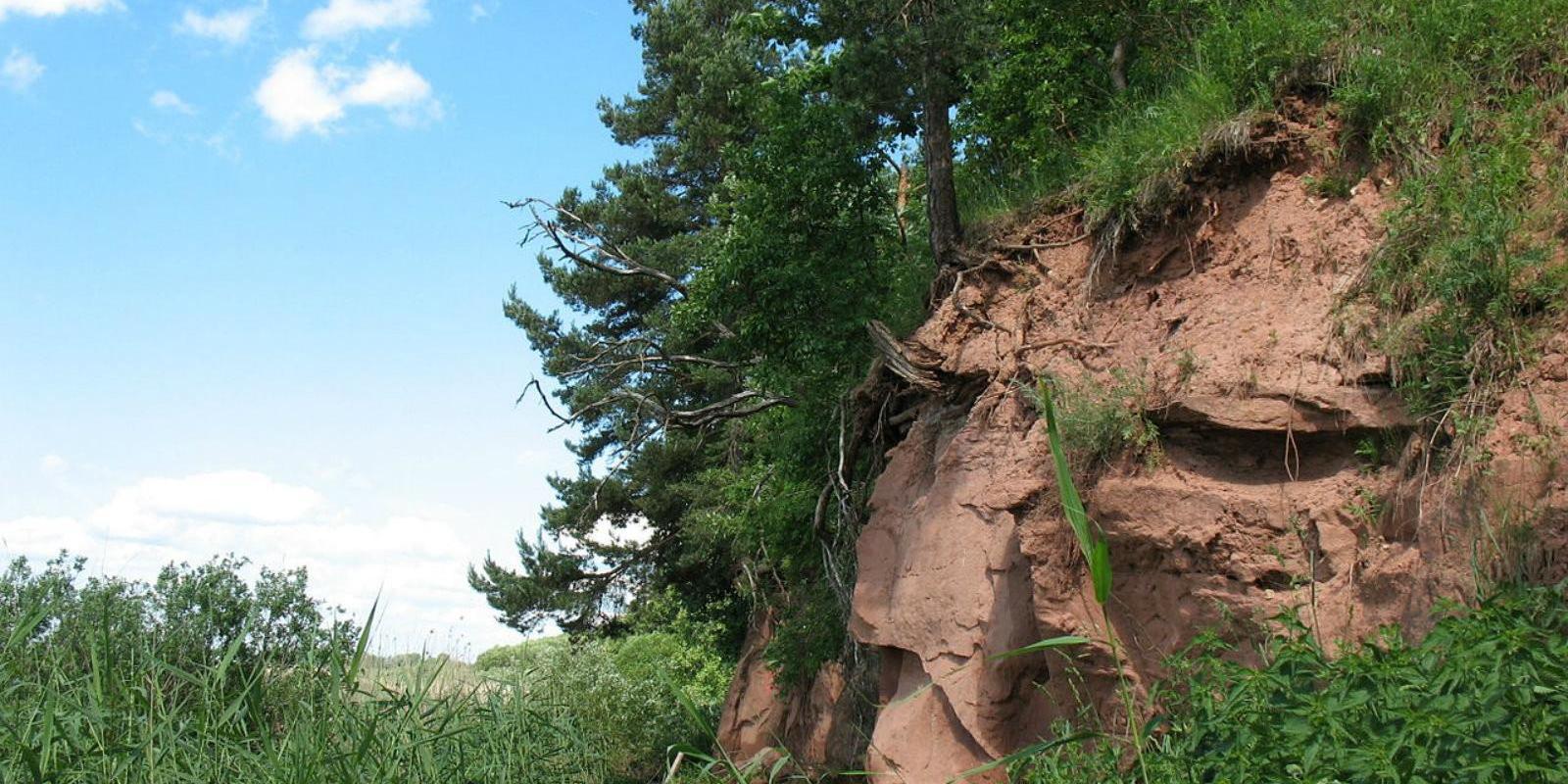
Tamme Outcrop hiking track is located on the eastern shore of Lake Võrtsjärv between the villages of Tamme and Neemisküla in Elva municipality. The area is rich in Devon sandstone outcrops from the Aruküla layer. Tamme Outcrop, which is located on the track, is an area where placoderms have been found and where valuable paleontological material has been collected since the second half of the 19th century.Ten information boards have been set up along the hiking track, which is almost 2 km long. They provide interesting information about the local natural environment. If you walk 1 km north on the track, you can turn back and hike back along a field or on a forest trail on the outcrop.

  • Hiking Trails

Lake Viti hiking trail and observation tower

The Lake Viti hiking trail is a nature trail that passes through an exciting hilly forest landscape. The trail information boards provide information about the Vitipalu forests, the woodpeckers that inhabit them, their nesting sites, the ant kingdom, and more. The trail features a hiking hut, a campfire site, Viti Lake, a 20-meter-high wooden observation tower overlooking the surrounding greenery, and a pleasant picnic spot with shelters. The Lake Viti trail is suitable for hikers of all ages, but it is not suitable for strollers or wheelchairs. The Lake Viti hiking trail begins and ends at the trail parking lot. The trail is marked with yellow stripes.

  • Privacy Policy

"*"обозначает обязательные поля

Это поле используется для проверочных целей, его следует оставить без изменений.
Я разрешаю маркетинг