• Открой
    • Еда
    • Природа
    • Культура
    • Семья
    • Спорт
    • Сообщество
    • Блог
    У Вас появились свободные выходные, чтобы провести с детьми? Здесь собраны лучшие места в Южной Эстонии для семейного отдыха
  • Планируй
    • Размещение
    • Информация
    • Varamu
    Sustainability
RUS
  • РусскийRUS
  • EestiEST
  • EnglishENG
  • LatviešuLAT
  • SuomiFIN
RUS
  • РусскийRUS
  • EestiEST
  • EnglishENG
  • LatviešuLAT
  • SuomiFIN
Populaarsed otsingud:
Näita kõiki tulemusi
  • Nature and Activities
  • Nature
  • Camping sites
  • Hiking Trails
  • Beaches

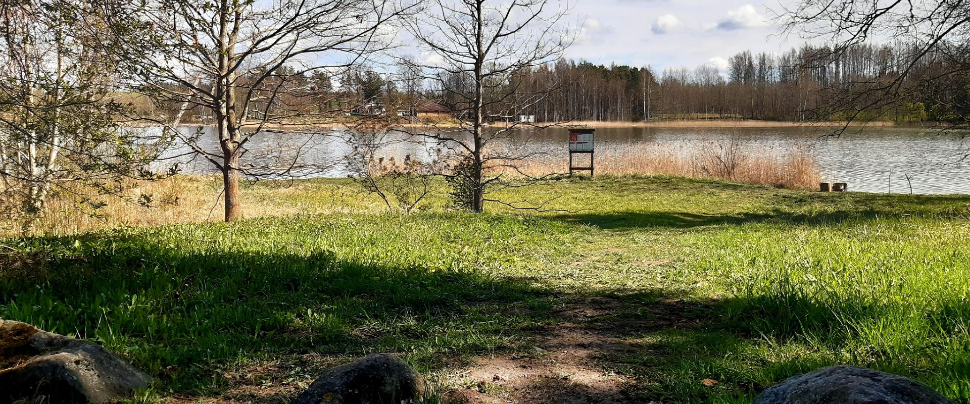
Pikksaare hiking trail and Pangodi campfire site

Kambja vald, Tartu maakond, 62017

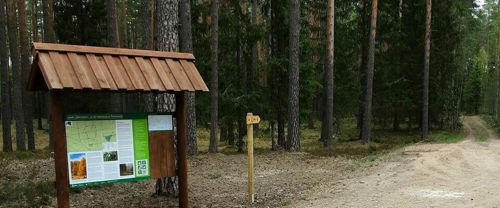
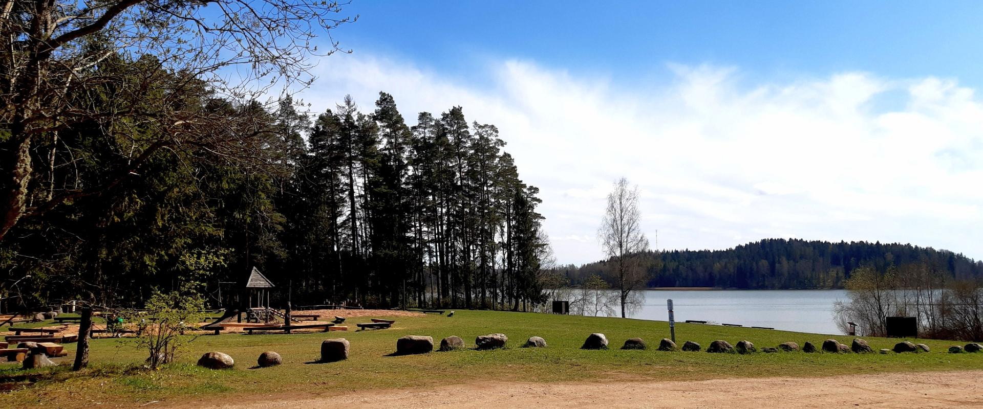
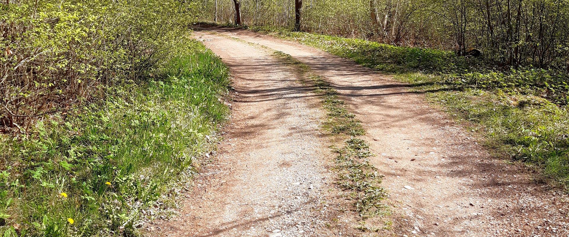
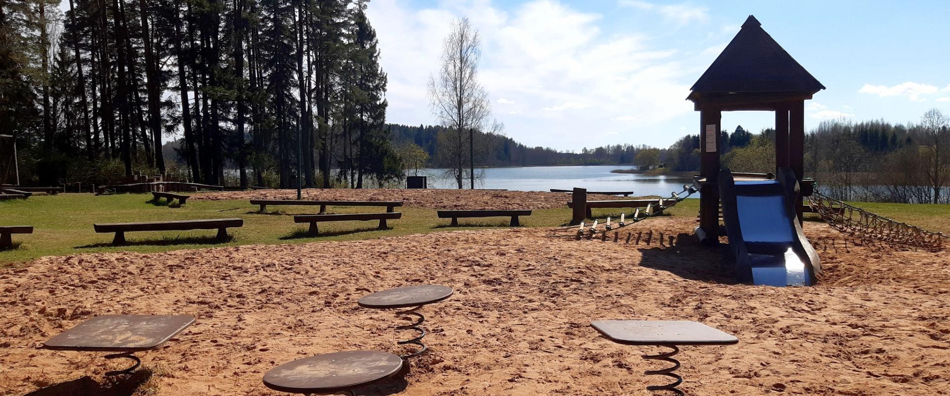
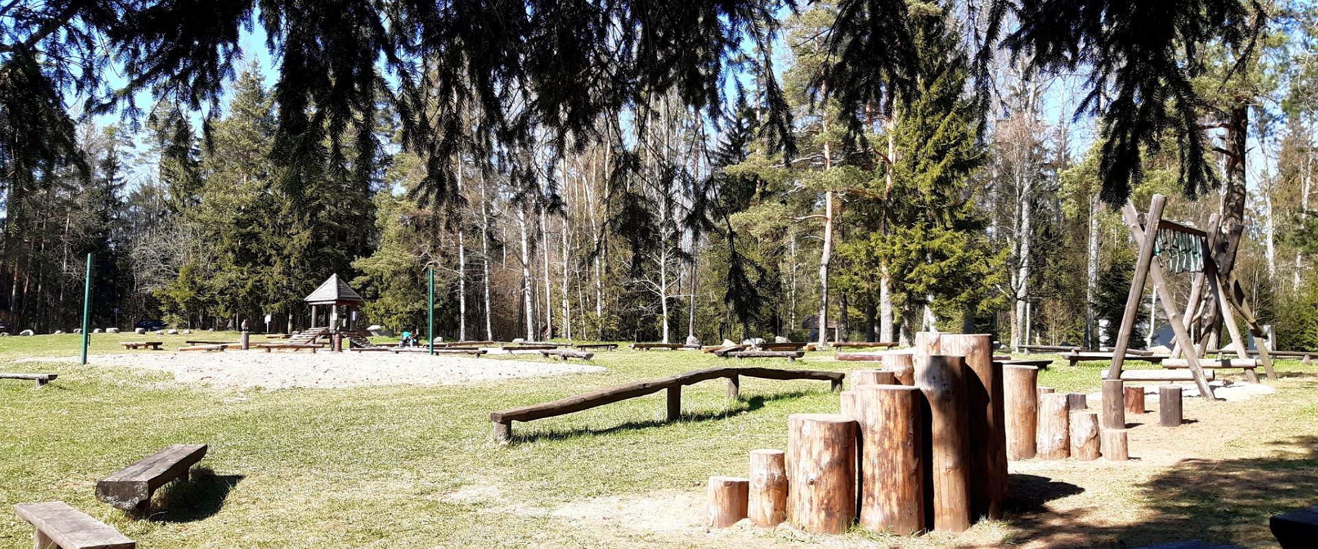
The Pikksaare hiking trail begins at the swimming and camping area by Lake Pangodi.
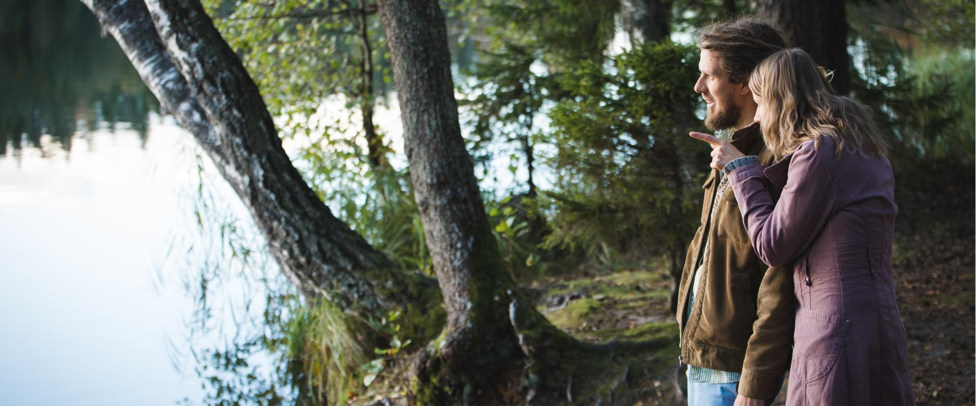
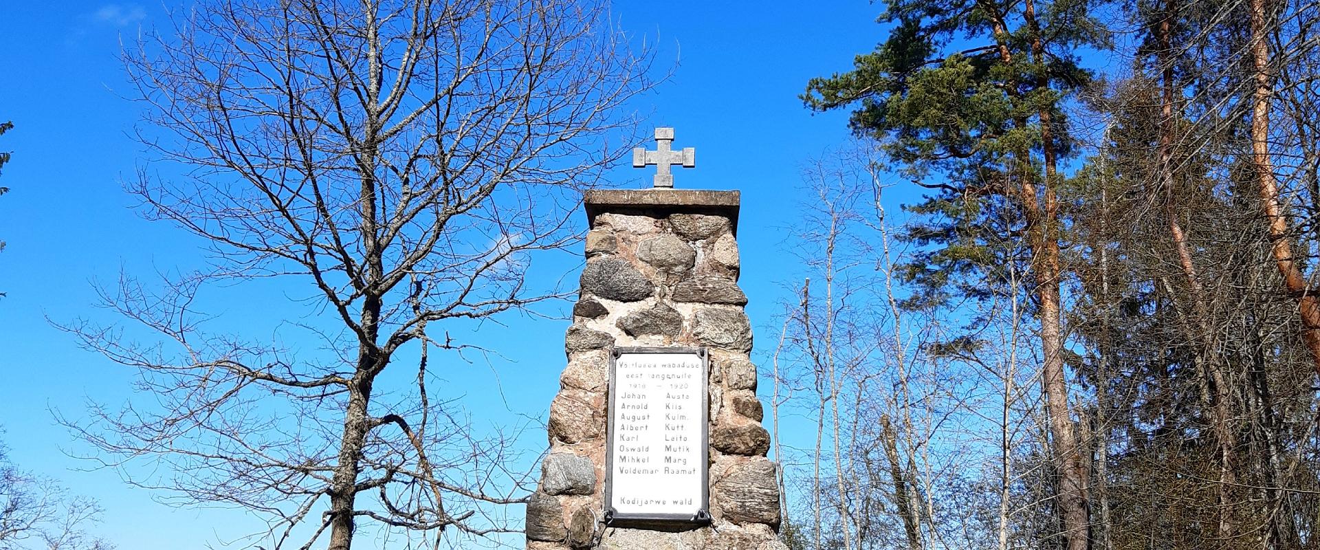
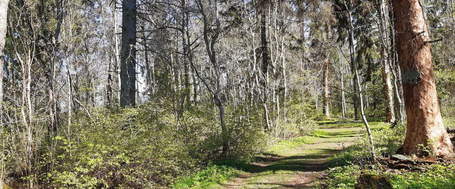
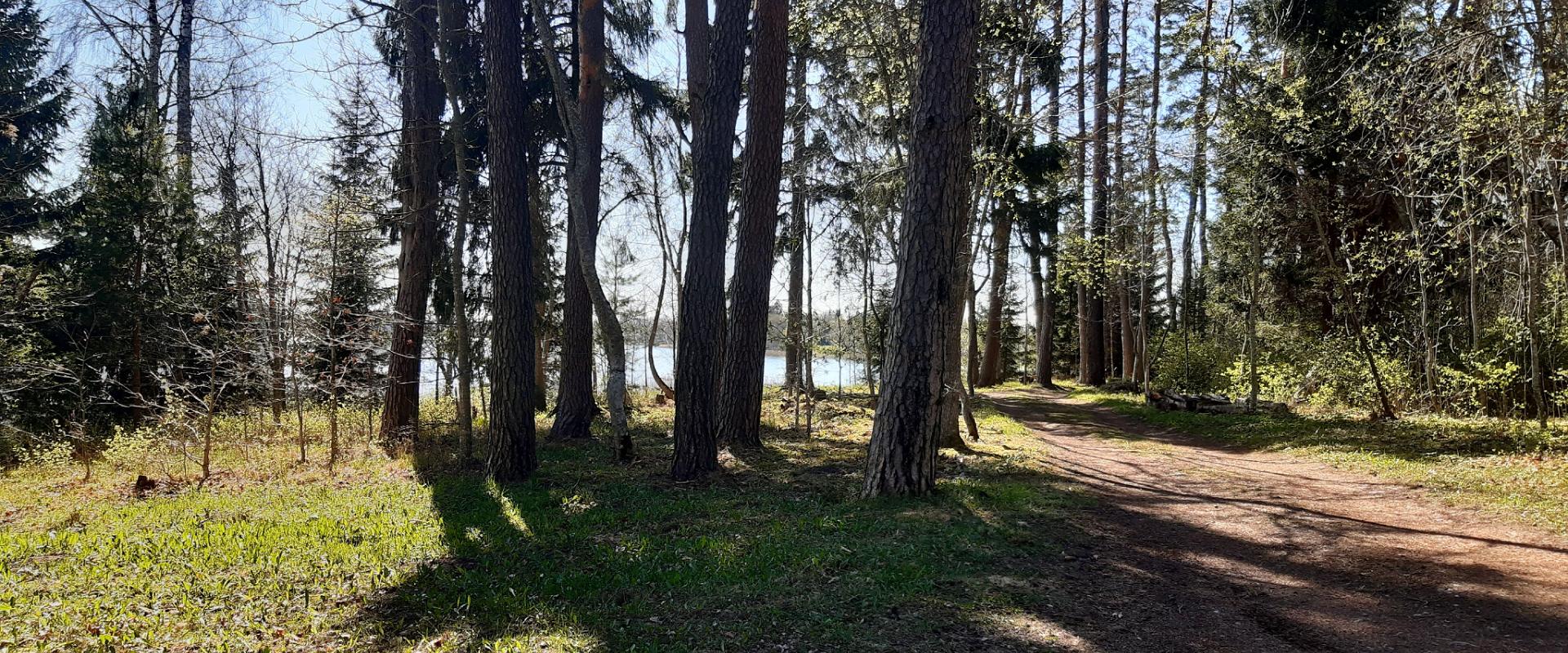
While walking along the hiking trail, you can enjoy peace and idyllic views of the lake and the surrounding nature and make a short detour to the War of Independence Memorial. The directional signs placed along the trail will help make the hike smoother.
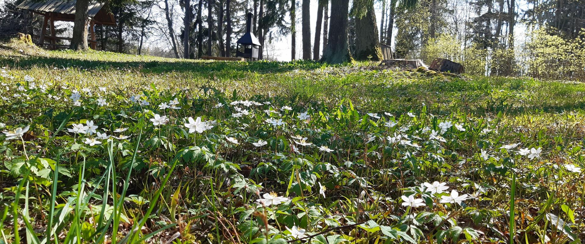
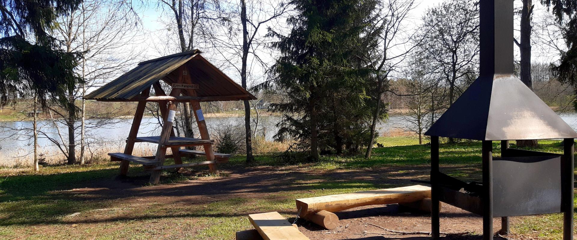
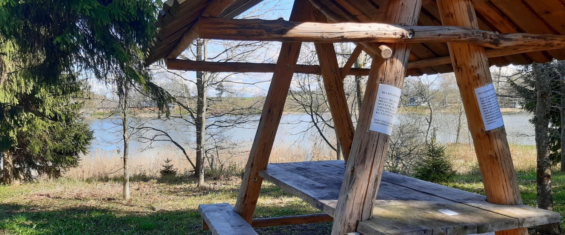
The hiking trail passes the Pangodi campfire site, where you can take a short break, as there is a shelter, a barbecue area, a nice swimming spot, and opportunities for camping.
Come and spend a nice day in nature with your family or friends!
Mugavused

  • Information boards
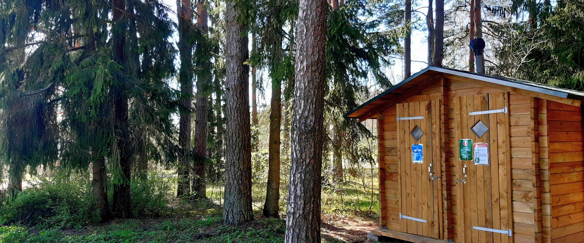
  • Drop Toilet
  • Free parking

Часы работы

Круглый год

Ööpäevaringselt

Контакты

  • +372 676 7122
  • info.kiidjarve@rmk.ee

Ссылки

rmk.ee

Подробнее

  • Camping sites

Härma walls in the Piusa river ancient valley

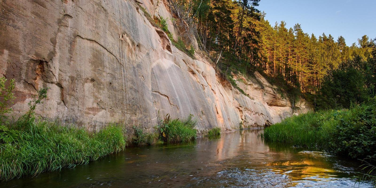
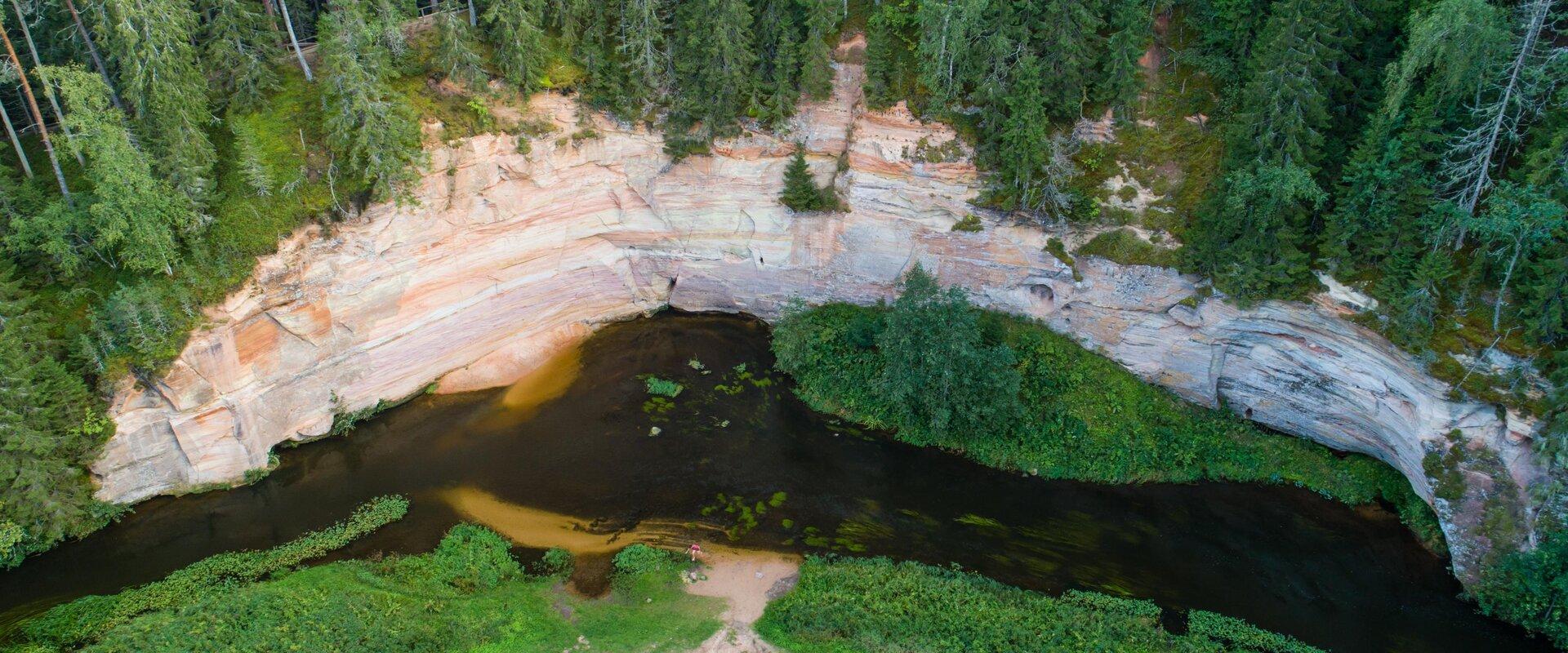
The Upper Härma Wall, also known as Keldri wall, is Estonia's highest Devonian sandstone outcrop. At 150-metres in length, it extends to a height of 19 metres, compared to the valley's edge which reaches a total height of 43 metres. Lower Härma, or Kõlgusniidu Wall, is also close by with a total height of 20.5 metres. Lower Härma, a projecting rock face, is arguably one of the most beautiful walls in the Piusa Ancient Valley, well-known for its brightly coloured layers of clay and majestic pyramid shape. This beautiful area has the added benefit of being host to a fantastic campsite for those wanting to make campfires, located in the meadow at the bend in the river.

  • Hiking Trails

Taevaskoda Hiking Trail

Come walk with your family on the Taevaskoda hiking trail, located in the Ahja River Valley Landscape Reserve. The trail starts from the Taevaskodade parking lot and runs circularly along both banks of Ahja River, where the outcrops of Väike and Suur Taevaskoja, caves formed by springs, and picturesque views catch your eye.At the beginning of the hiking trail, there is an information board with a map of the recreational area and the trail. On the trail, signs in Estonian, English, and Russian will help you find the way. Visitors with a wheelchair or a stroller can travel along the alternative trail to Suur Taevaskoda, length 3 km. Good to know: you can see kingfishers flying around while walking in Taevaskoda.

  • Lookout towers
  • Beaches

Räpina beach

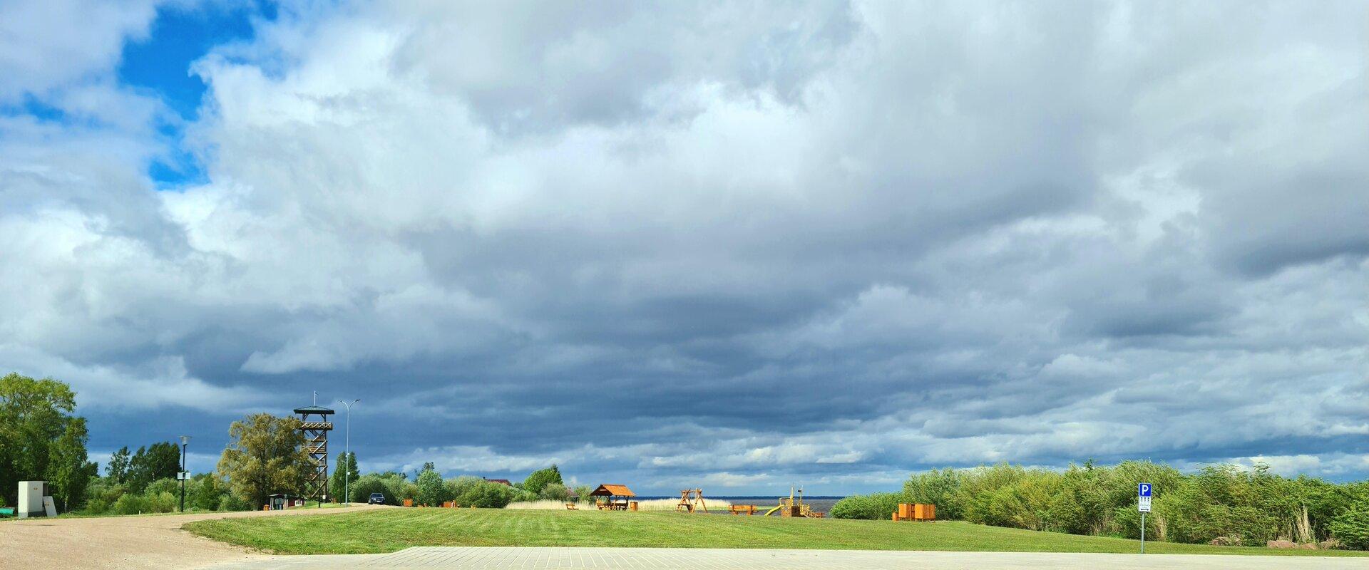
Räpina beach is the perfect place for a holiday and for all kinds of water sports. The favourable winds have made it a popular destination among kite-surfers and windsurfers in spring and summer. There is a viewing tower on the beach that has excellent views over the polder, to Lake Lämmijärv and across the border into Russia. The beach is lit at night.

  • Hiking Trails

Sangaste forest park trail

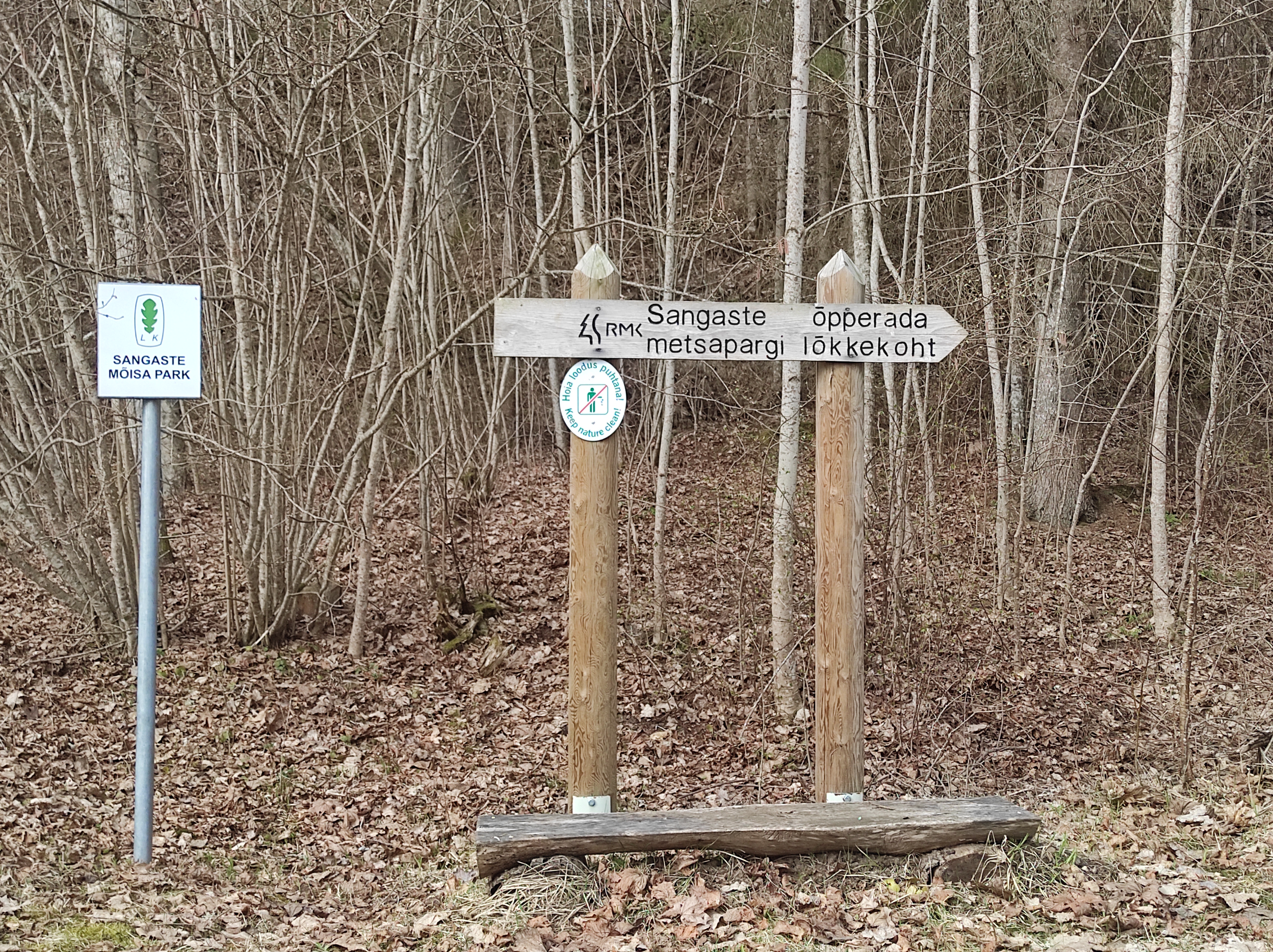
The 3-kilometre-long Sangaste forest park trail is located in Kiidjärve-Kooraste Recreation Area and starts from the forest park behind the Sangaste Castle.The trail introduces the forest park, founded by Count Friedrich Magnus Berg, where nearly a few hundred different species of trees and shrubs are represented. The trail has signs, stairs, bridges, and information boards that introduce the forest park and the various species of trees. There's also a campfire site on the trail with a fire pit, benches, a toilet, and a wood shed, which can also be used as a shelter.Interesting fact: Estonia's tallest, a 42-metre-tall Douglas tree grows in the park. It's possible to visit the Sangaste Castle during opening hours.

  • Hiking Trails

Karula National Park and the visitor centre by the Lake Ähijärv

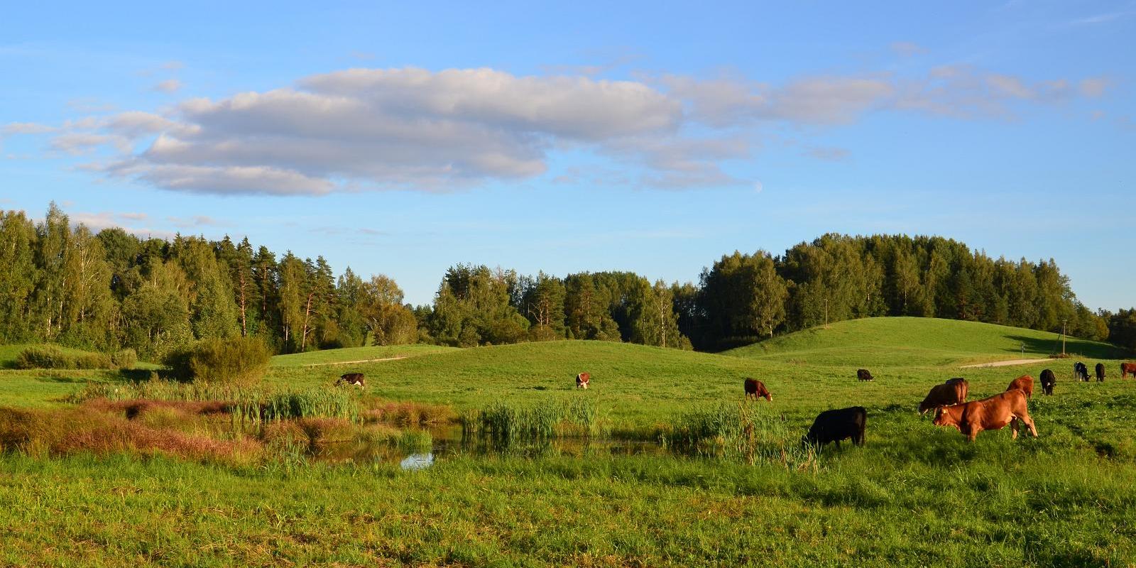
Karula National Park is Estonia's smallest national park, characterized by a hilly landscape rich in lakes, with 60 lakes on the highland. The national park is open to everyone: families, backpackers, and nature enthusiasts, offering various opportunities for relaxation and hiking. At the visitor center located by Lake Ähijärv, you can get information about the opportunities available in the national park, and the permanent exhibition there introduces the history, nature, folk culture of the Karula region, as well as the modern lifestyle. The heart of the national park is Lake Ähijärv, which is ideal for boating, swimming, and enjoying nature. Hiking enthusiasts are awaited by well-maintained trails that lead through forests, wooded meadows, and hilly landscapes, offering views unique to Karula. Popular destinations include the Rebäse hiking trail, Lüllemäe observation tower, and Kaika hillocks, which offer a great view of the rolling landscape. The national park has plenty of camping and bonfire sites, as well as natural swimming spots, making it suitable for both day trips and longer vacations.

  • Hiking Trails

Tõrvandu forest study trail

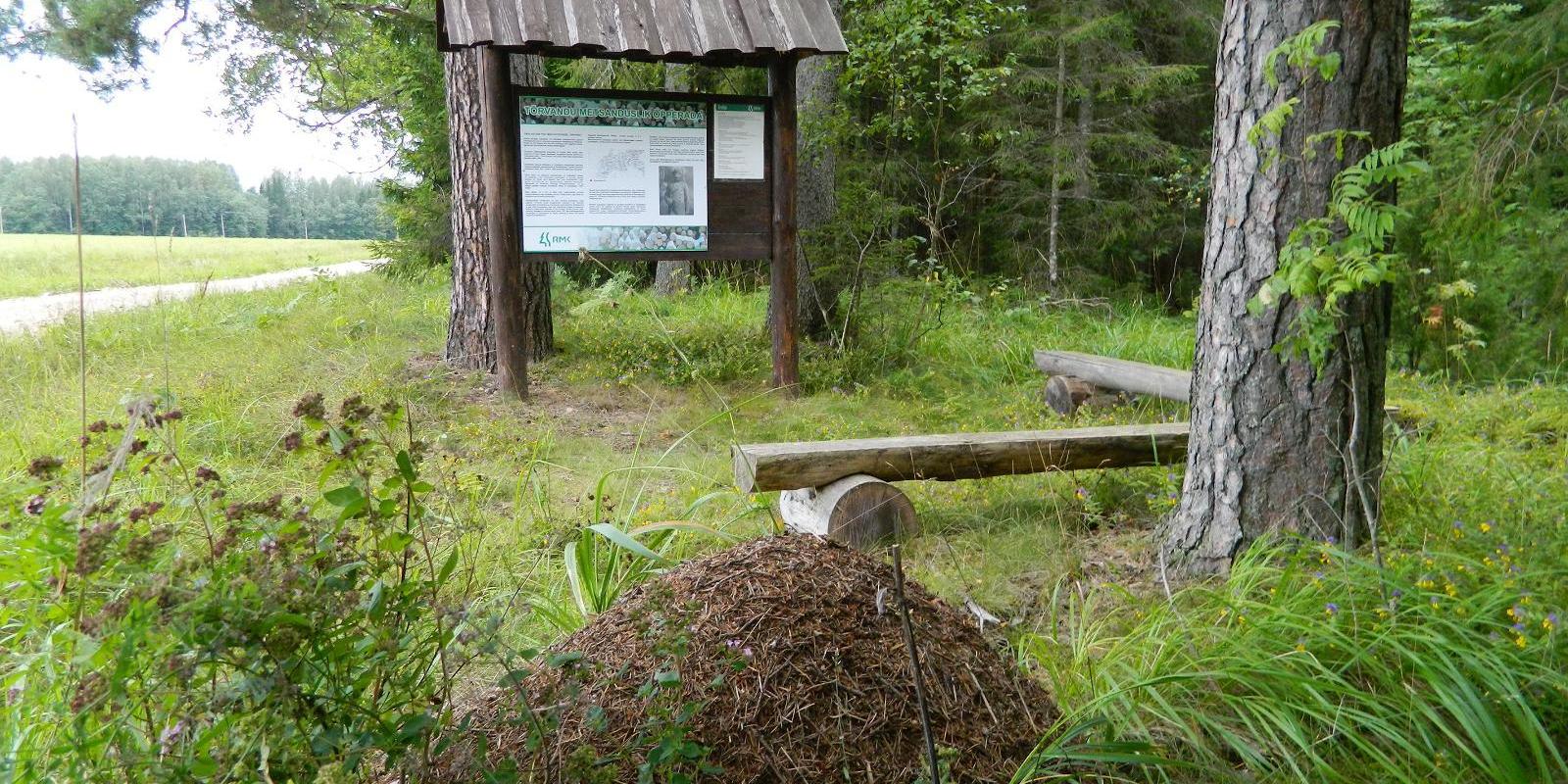
The 3 km Tõrvandu forest study trail starts at a crossroads about 400 metres from Pähni Nature Centre. This marked and explained hiking trail is meant for everyone interested in the forest. There are campfire grounds, camping area and shelters on the trail. The 25 observation points of the trail are also permeable by car.

  • Hiking Trails

Laari Forestry Study Trail

The 3-km-long circular forestry study trail, starting at Laari campfire site, is suitable for a peaceful walk for holidaymakers at the campfire site, nature lovers, and hikers with pets.The trail is very diverse - it runs along the paths and trails of the bright pine forest, the mysterious pine forest, and the eye-catching birch forest, over the Lambiniidu and a ditch, over which wooden bridges have been built.The trail is marked with signs and red dots on trees, the information boards on the trail introduce the surrounding nature and the different ways of forest management.

  • Hiking Trails

Saare Lake study trail

The 3.5 km trail introduces different forest communities. It can be accessed from the parking lot at the beginning of the trail or the Sihi and Papi campfire sites. The trail runs along boardwalks and paths of varied landscape. It also passes the burial ground of the Manteuffel family and a complex monitoring station. You can camp and make a fire under a cover at the Sihi and Papi campfire sites. The trail is suitable for visitors of all ages, as it is interesting and educational.

  • Privacy Policy

"*"обозначает обязательные поля

Это поле используется для проверочных целей, его следует оставить без изменений.
Я разрешаю маркетинг