• Explore
    • Nature
    • Culture
    • Food
    • Family
    • Activity
    • Blog
    Smoke sauna
    Weather and seasons
  • Plan
    • Accommodation
    • How to get here
    • Weather and seasons
    • Sustainability
    • Tourist info
    Discover South Estonia’s Most Beautiful Manors and Castles
    Top 20 Sights in South Estonia
  • For professionals
    • For professionals
    • Collaboration
    • News
    • Projects
    • Training
    • Repository
    • Community (opens in new tab)
    • Contacts
ENG
  • EnglishENG
  • EestiEST
  • LatviešuLAT
  • РусскийRUS
  • SuomiFIN
ENG
  • EnglishENG
  • EestiEST
  • LatviešuLAT
  • РусскийRUS
  • SuomiFIN
Popular searches:
Show all
  • Nature and Activities
  • Nature
  • Hiking Trails

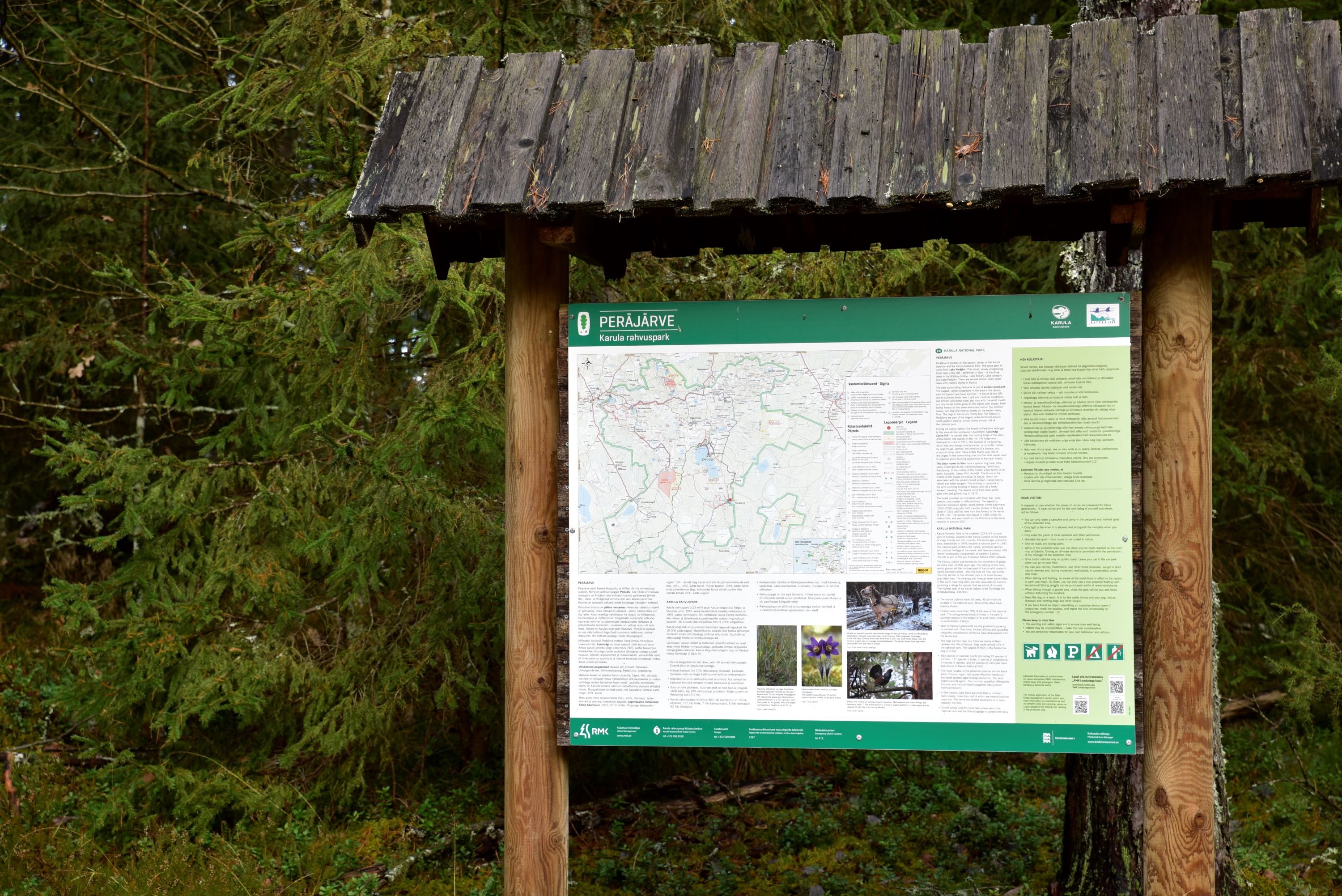
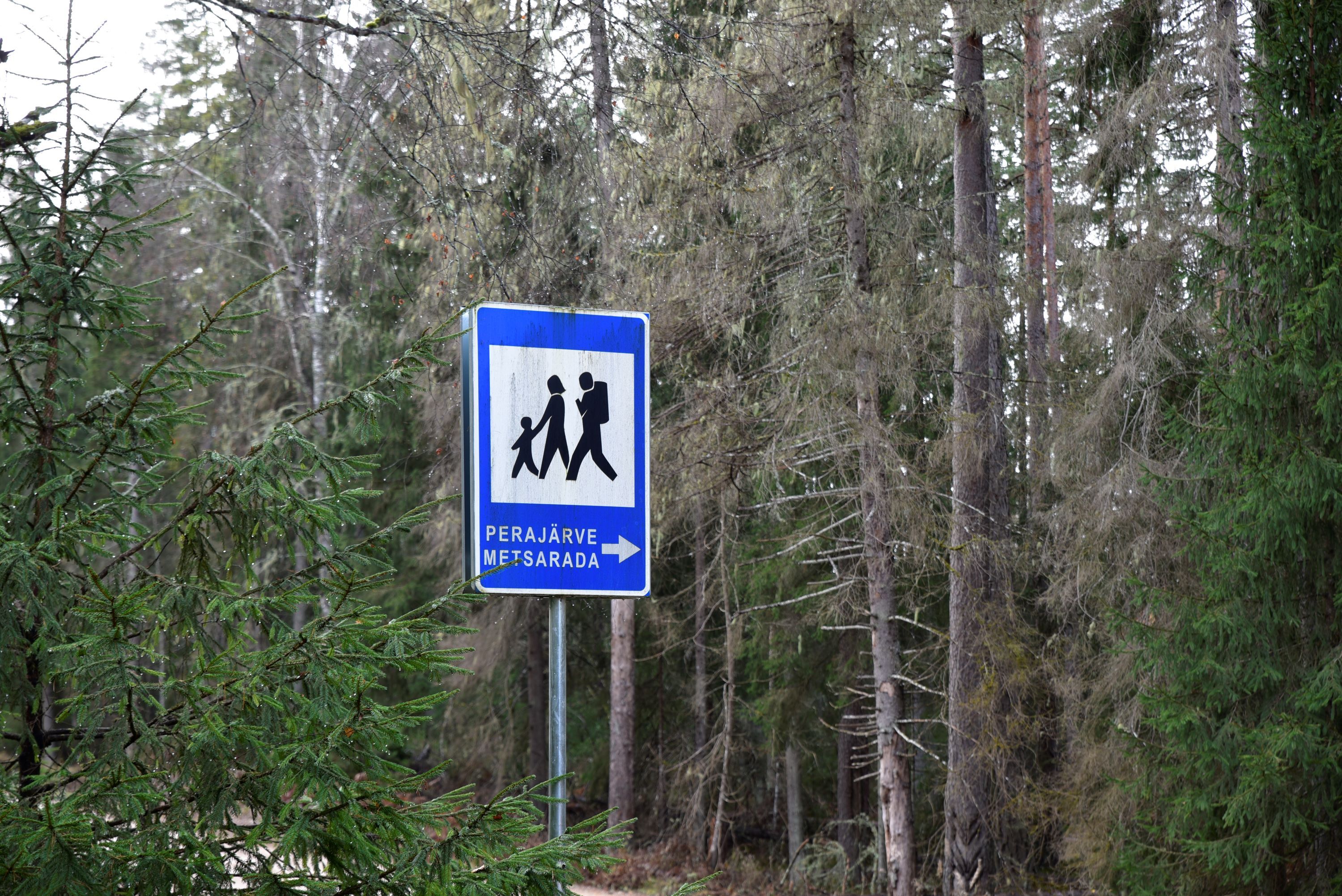
Peräjärve forest trail

Antsla vald, Võru maakond, 66420

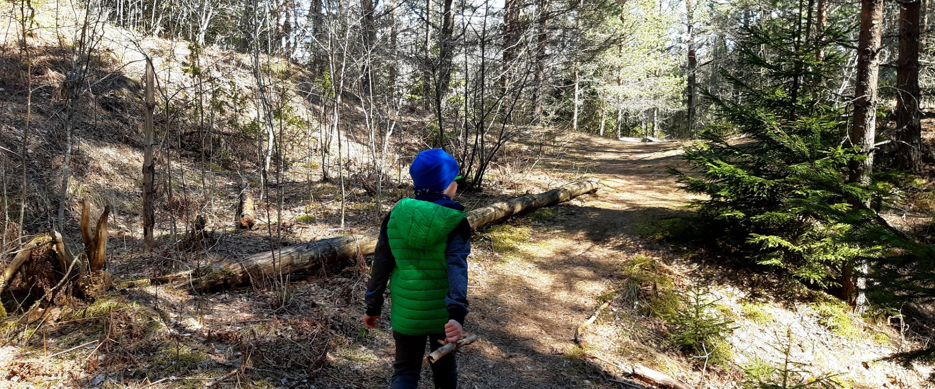
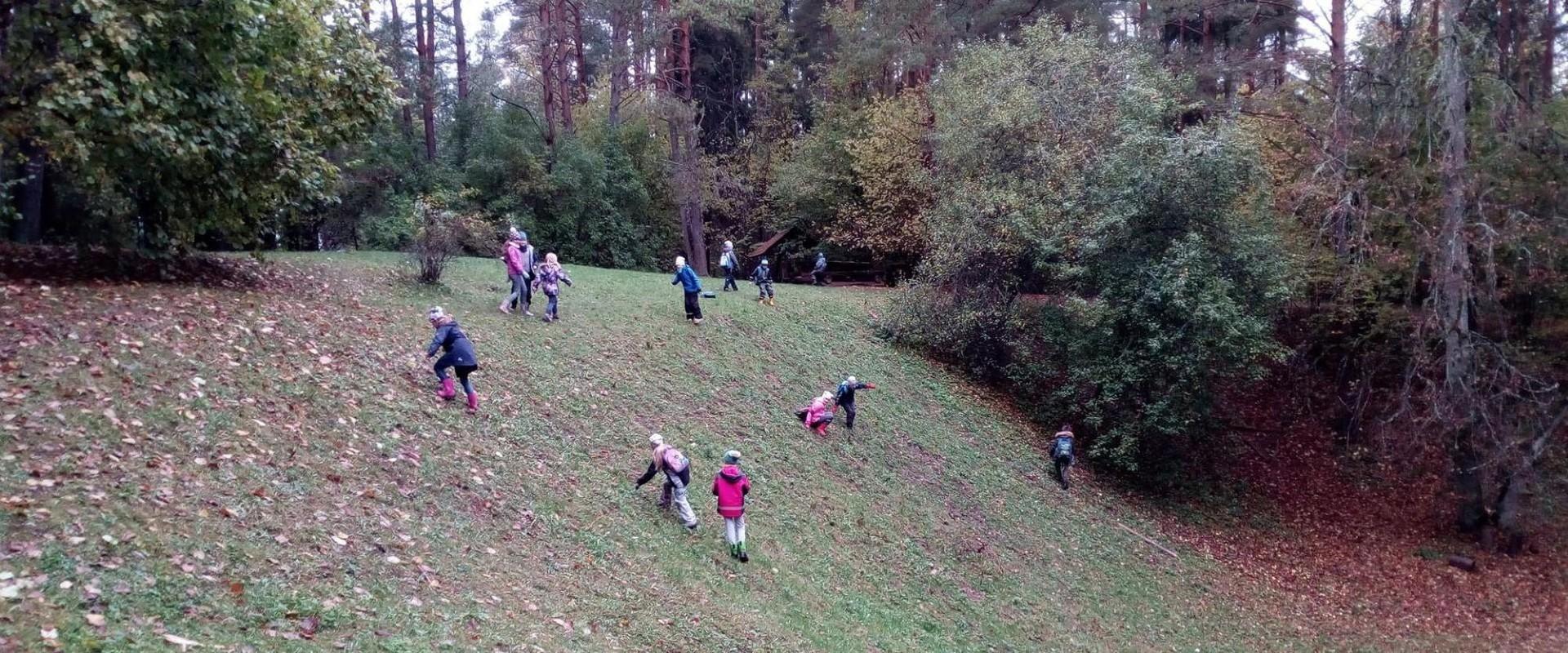
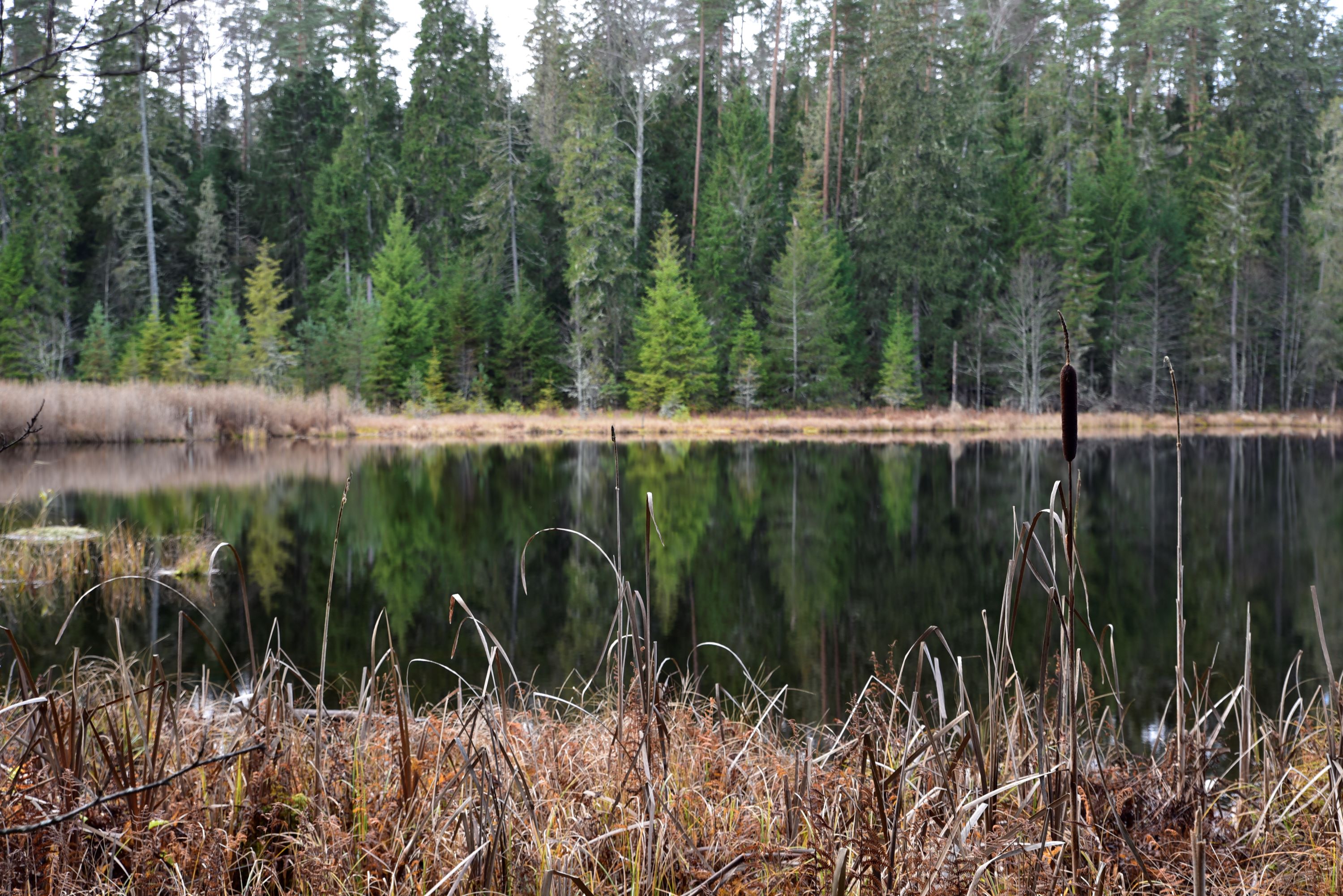
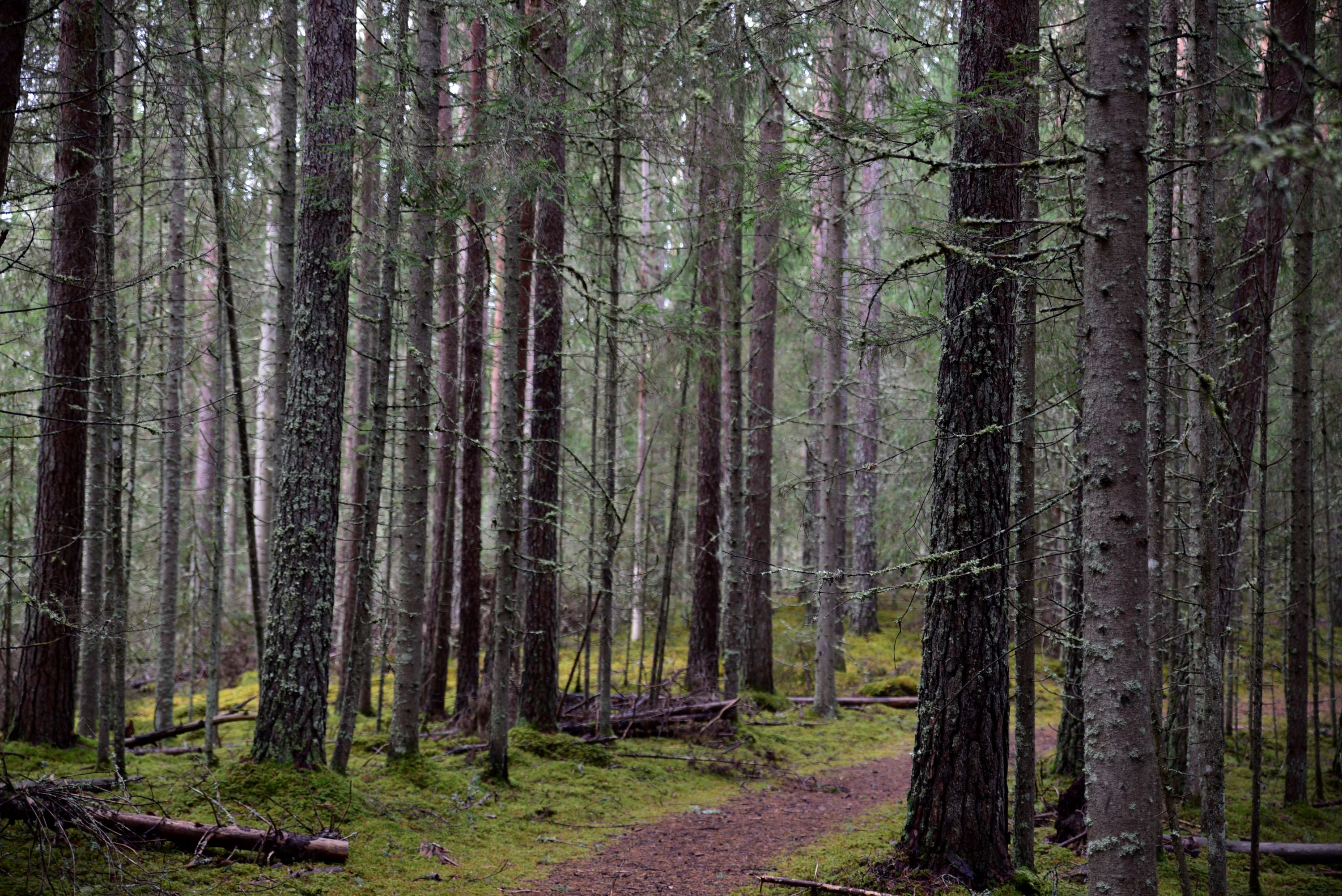
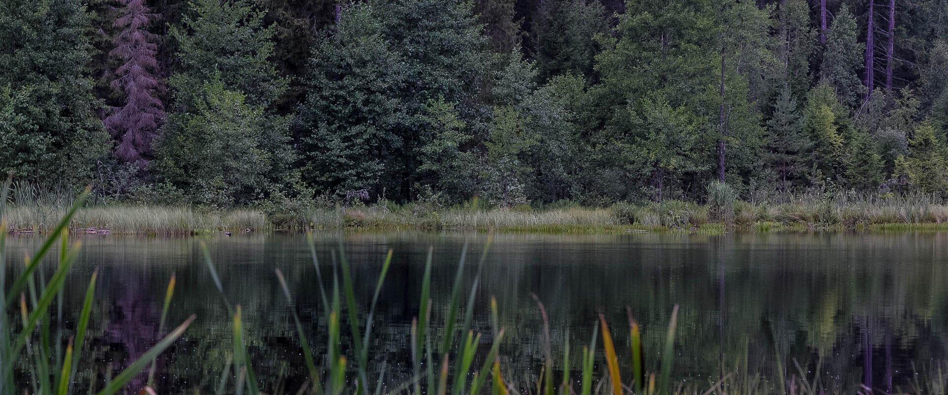
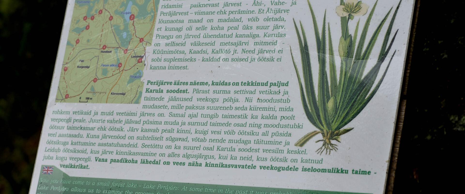
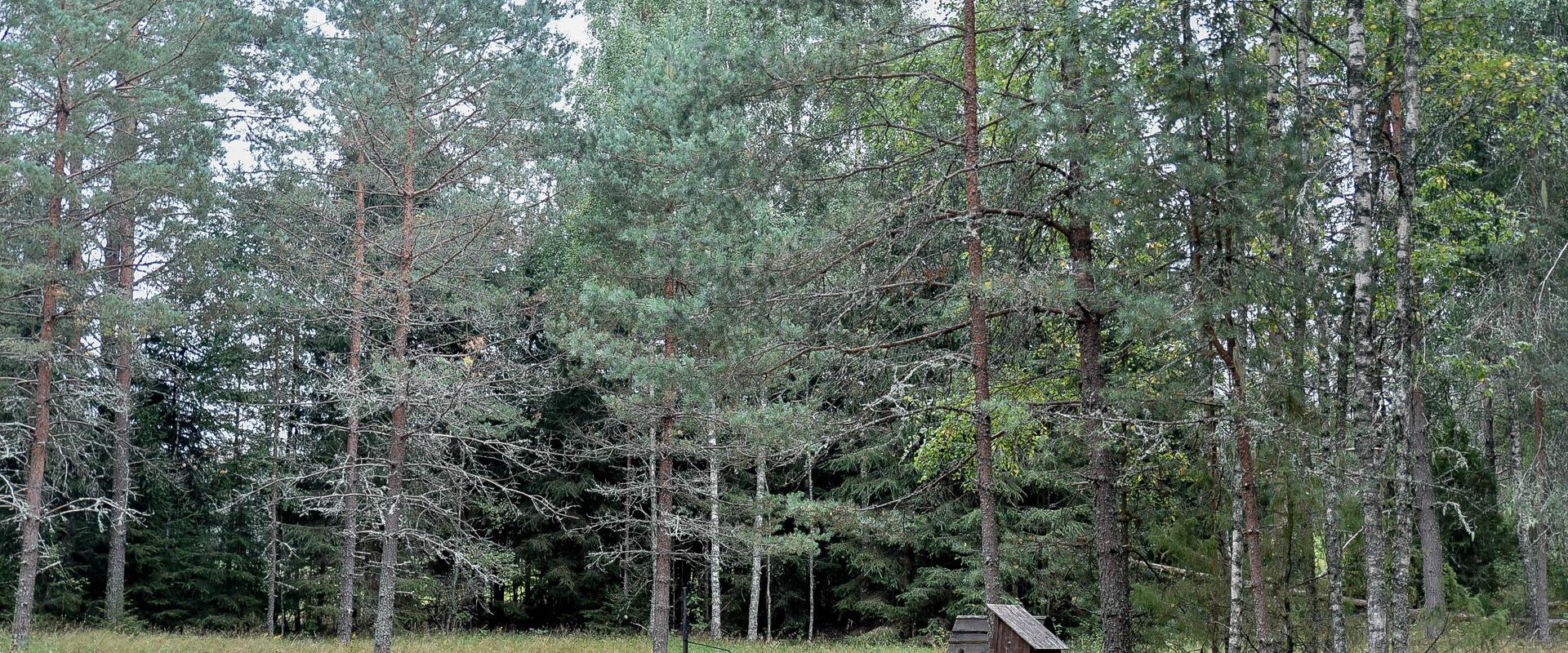
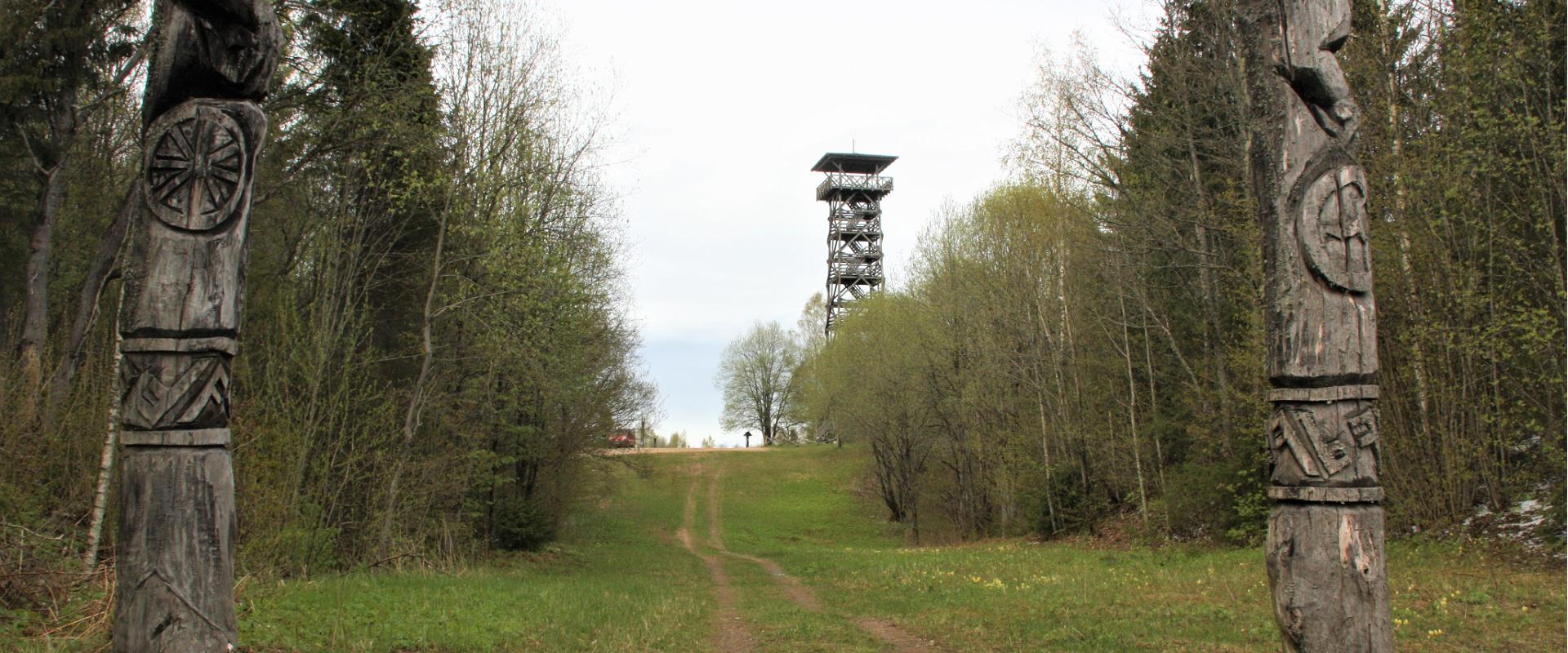
Peräjärve forest trail guides the hiker through different forest types – fresh boreal forest, dry boreal forest, boreal heath forest, carr, and swamp forest. You will get an overview of the different uses of the forests throughout history, a living example of this are the trees near the trail, which are used to extract resin from.The study trail can be visited all year round: in spring there’re a lot of bird sounds and the daphne mezereum blooms, in summer and autumn the forest is full of berries and mushrooms, and in winter you can see interesting animal tracks in snow.
Amenities

  • Information boards
  • Free parking

Open times

Throughout the Year

Around the Clock

Contact

  • +372 782 8350
  • info.karula@rmk.ee

Links

loodusegakoos.ee

See more

  • Family friendly
  • Lookout towers
  • Hiking Trails

Ööbikuorg valley and Rõuge lakes

The Rõuge primeval valley, which is 10km long and 52m deep, contains seven lakes: Kahrila Lake, Tõugjärv, Ratasjärv, Kaussjärv, Rõuge Suurjärv, Liinjärv, and Valgjärv. The lakes are connected by the Rõuge or Ajo River, which starts from the Tindi valley. The side valleys of the Rõuge primeval valley are Tindi, Külm, Mõhk, Ööbikuorg, Tinopeetri, Hinni, Sikasoo, and Järveotsa valleys. The most famous of these is Ööbikuorg, which borders the ancient hillfort from the north. In spring, during the blossoming of bird cherry trees, the valley resonates with the song of nightingales – hence the name of the valley. Several hiking trails run through Rõuge, including the popular Ööbikuorg hiking trail, which takes visitors through the primeval valley, past lakes and springs. The trail is suitable for families with children and is partially accessible by bicycle. In summer, you can swim and paddle in the lakes, while in winter, the same trails are enjoyed by skiers and sledders. In the Rõuge settlement, there is also Estonia's deepest lake – Rõuge Suurjärv (38m) – and the largest Nature Clock in Estonia, whose hands mark the passage of time in nature's rhythm.Good to know: At the edge of Ööbikuorg, there is a visitor center and the Pesapuu observation tower, which offers a view of the entire valley.

  • Hiking Trails

Rebäse landscape trail

The 7-kilometre-long Rebäse landscape trail is located in the Karula National Park. The trail runs through old farm landscapes, passing the oldest farmstead in the area and the Linnamägi hill with traces of settlement from the Early Iron Age. Hikers can climb up the local "Mount Ararat", see Lake Raudjärv with its ice-cold water, and admire one of the largest gullies of Karula upland.You may need sturdy boots to pass the trail because in rainy weather the trail might be muddy and the boardwalk slippery. The trail also passes pastures, so you might encounter curious but generally friendly cows. Be careful around farm fences, they may be electric!

  • Hiking Trails

Mustjärve hiking trail

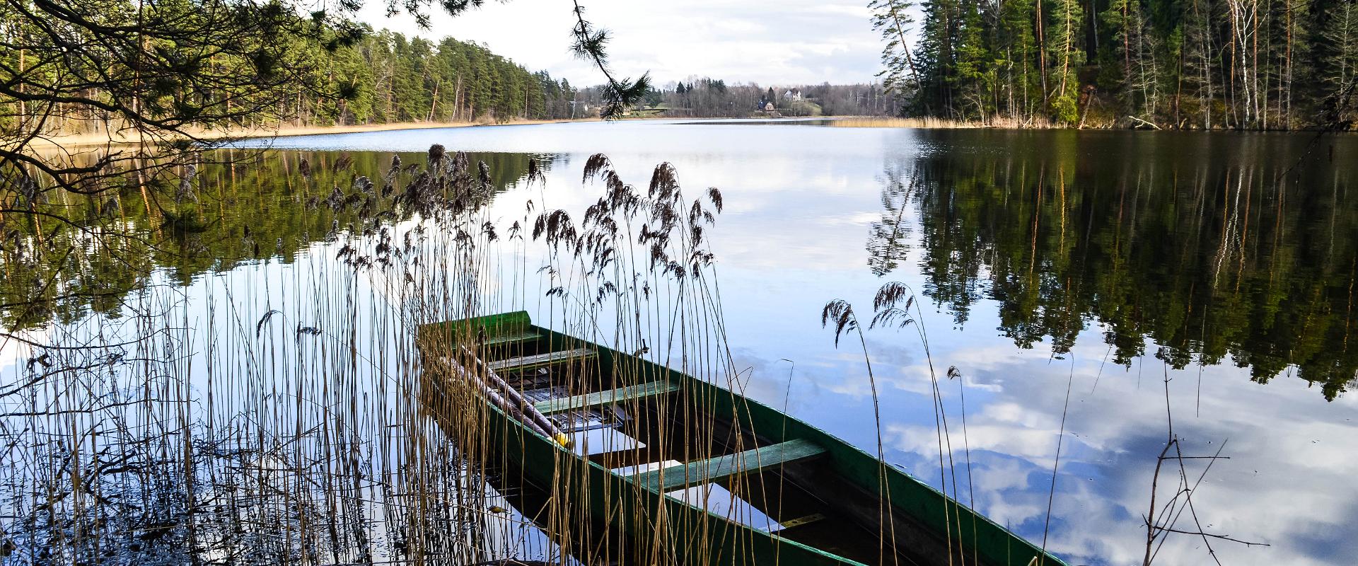
A beautiful bog lake hides in the shade of a pine forest in the northern part of the Lulli bog next to Lake Võrtsjärv. The natural lake is large (23 ha) and very shallow (there is only a metre of water here).The hiking trail starts at the information stand in the car park. Further on, the boardwalk leads directly to the water, which offers scenic views of the lake and the surrounding bog landscape. The short hiking trail (2.3 km) runs around the lake. It is impossible to get lost here, because the trail is circular and everyone finally gets back to the starting point.In the second half of the summer, cloudberries, blueberries, cranberries, and mushrooms can be picked from the surroundings.

  • Camping sites
  • Hiking Trails

Lake Kavadi hiking trail

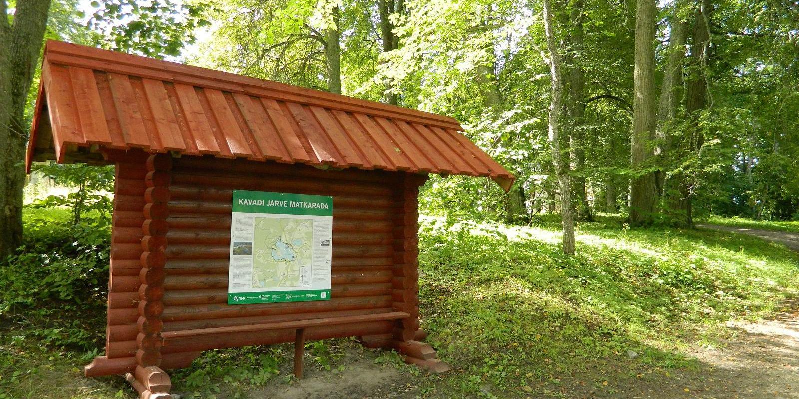
The 2.2 km hiking trail in Kavadi runs along the banks of Lake Kavadi. The hiking trail begins and ends in New-Salus Park, which has a resting place, campfires with barbecue grilles and a campsite. The trail with the direction of travel winds both along the shore lane and under the forest. Lake Kavadi is considered the most articulated shore-lined lake in Estonia. The surface area of the lake is 27.4 ha. The current size and look have been acquired by the lake some 140 years ago when Baron C. FR. von Maydell, who bought the New-Salus mansion, swelled up three small swamp lakes.

  • Hiking Trails

RMK forest study trail at Pähni Nature Centre

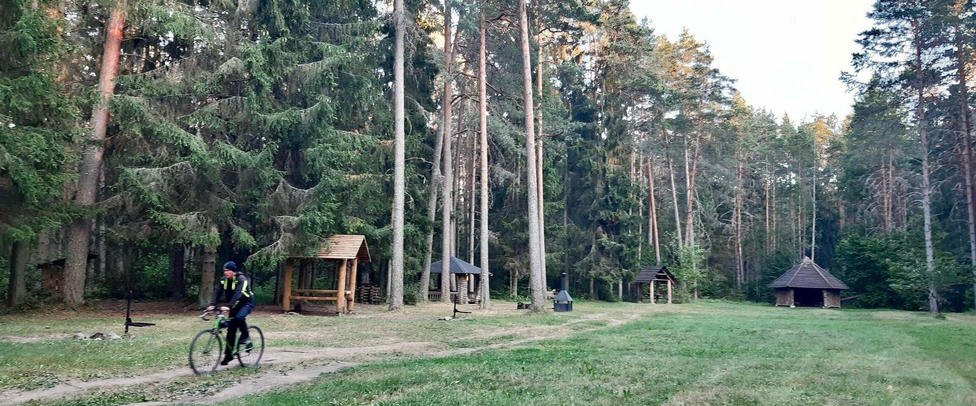
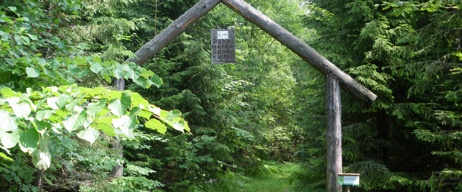
The 2.8 km Pähni forest trail starts and ends at the Pähni Nature Centre.The trail starts with an information board with introductory text, later on you have to follow the signs.There are 15 points of interest on the trail with information on different types of forests, species of trees and evidence of cultural heritage and animal activity. There is also a fire pit and shelters (4) where you can relax and take a break. The trail is partially covered with a wooden boardwalk (200 m).

  • Hiking Trails

Wood Ants’ Trail of Kiidjärve

Among the approximately 1 km study trail introducing the life of wood ants, the hiker can feel like a giant in the minuscule world of ants. In an area of 20 hectares there are 200 ant hills, the biggest of which is 1.7 m high; you can also admire the record-high spruce (42 m). The trail has signs, information boards, and bridges crossing ant highways.The trail is for walking only. While hiking on the trail near ant hills, use only the bridges installed there. The Laari forest study trail starts on the other side of the railway.The civilisation of ants offers an experience for both children and adults.

  • Hiking Trails
  • Birdwatching

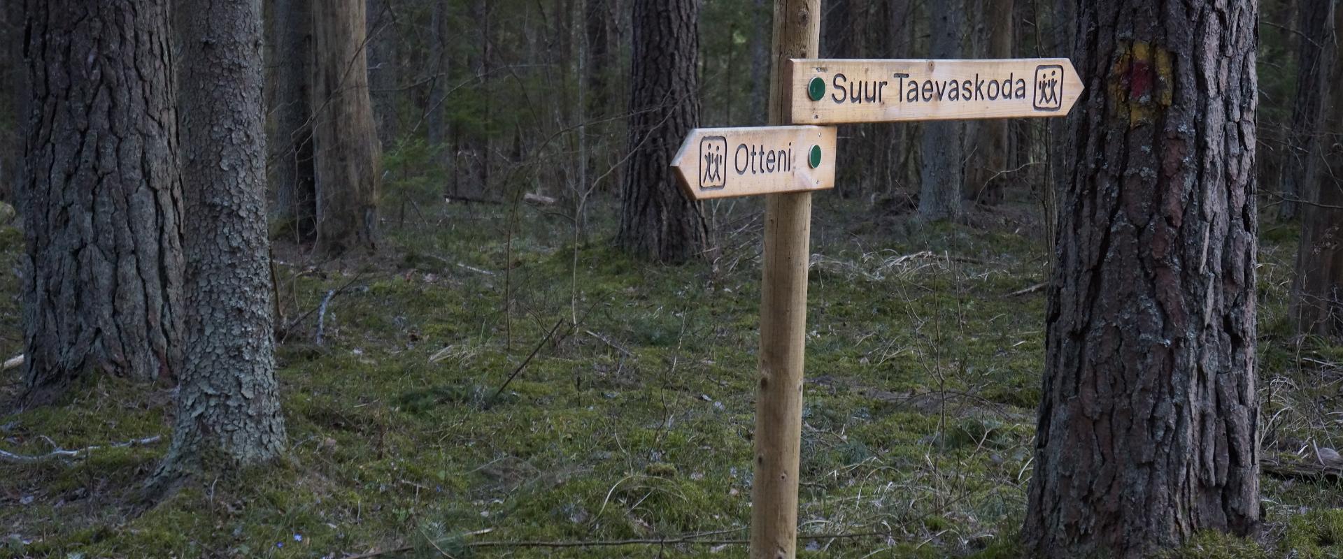
Large and Small Taevaskoda sandstone outcrops

The two Taevaskoda outcrops on the banks of the ancient valley of the Ahja River are one of the most frequently visited sites in southern Estonia. The sandstone outcrops and the ancient river form the most beautiful part of the Ahja River Landscape Reserve. Legends speak of caves, secret passageways and of demons and a mermaid with a golden comb. A walk from the Saesaare dam to the Small Taevaskoda outcrop, the Emaläte spring, the Neitsikoobas cave and the Large Taevaskoda outcrop, which rises 22.5 metres above the river, is worth undertaking in every season. The beautiful and exciting natural setting attracts hikers – it is a place that every Estonian visits at least once in their life!

  • Camping sites
  • Hiking Trails
  • Beaches

Lake Pühajärv hiking trail

The hiking trail that encircles Lake Pühajärv starts near the centre of Otepää Nature Park. The 14 km trail takes you on a voyage of discovery around one of the most unique and beautiful lakes in Estonia. Covering the whole track takes from 3–6 hours. There are rest areas and barbecue sites along the way. Part of the track (approximately 2.2 km) runs along the Pühajärve–Kääriku exercise track by the Otepää–Kääriku highway. You can cover the track by foot or bike. Cyclists must bear in mind that there are parts of the track on which you will have to push your bike instead of riding it. The Angunina, Kiigemäe and Koolirand campfire sites are located on the trail. There, you can make a fire and camp.

  • Collaboration
  • News
  • Contacts
  • Privacy Policy
Join our mailing list!

"*" indicates required fields

This field is for validation purposes and should be left unchanged.
I authorise marketing

South Estonia Tourism Cluster

info@visitsouthestonia.com