• Explore
    • Nature
    • Culture
    • Food
    • Family
    • Activity
    • Blog
  • Plan
    • Tourist info
    • Accommodation
  • For professionals
    • For professionals
    • Collaboration
    • News
    • Projects
    • Training
    • Repository
    • Community (opens in new tab)
    • Contacts
ENG
  • EnglishENG
  • EestiEST
  • LatviešuLAT
  • РусскийRUS
  • SuomiFIN
ENG
  • EnglishENG
  • EestiEST
  • LatviešuLAT
  • РусскийRUS
  • SuomiFIN
Popular searches:
Show all
  • Nature and Activities
  • Nature
  • Lookout towers
  • Hiking Trails

Harimägi and Harimäe Observation Tower

Aakre metskond 69, Otepää vald, Valga maakond, 67003

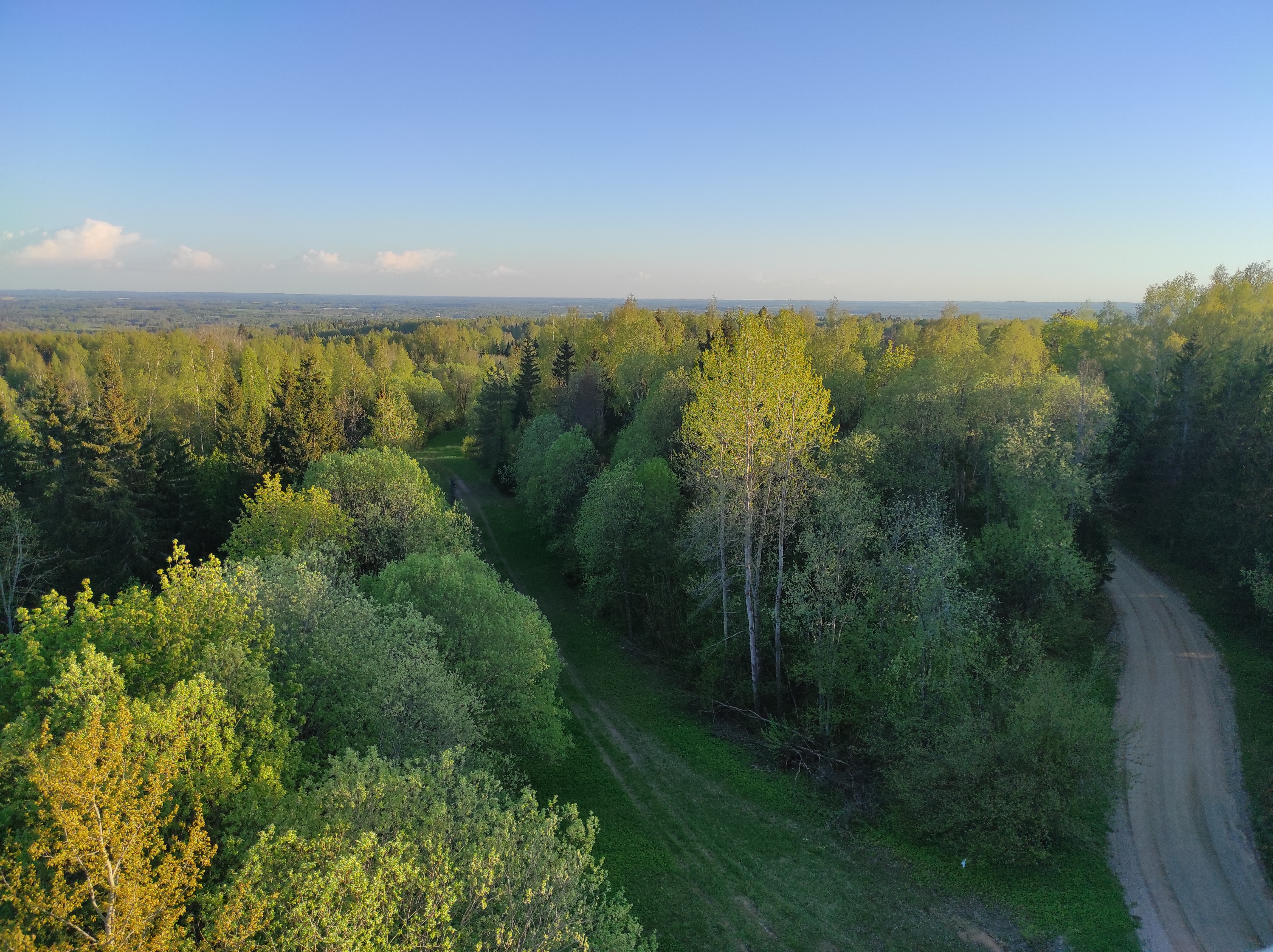
Harimägi is one of the largest mesas in the Otepää Uplands (211 m above sea level). It is worth coming to Harimäe whenever you are near Otepää.
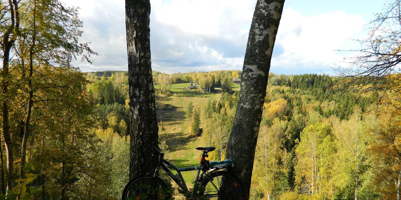
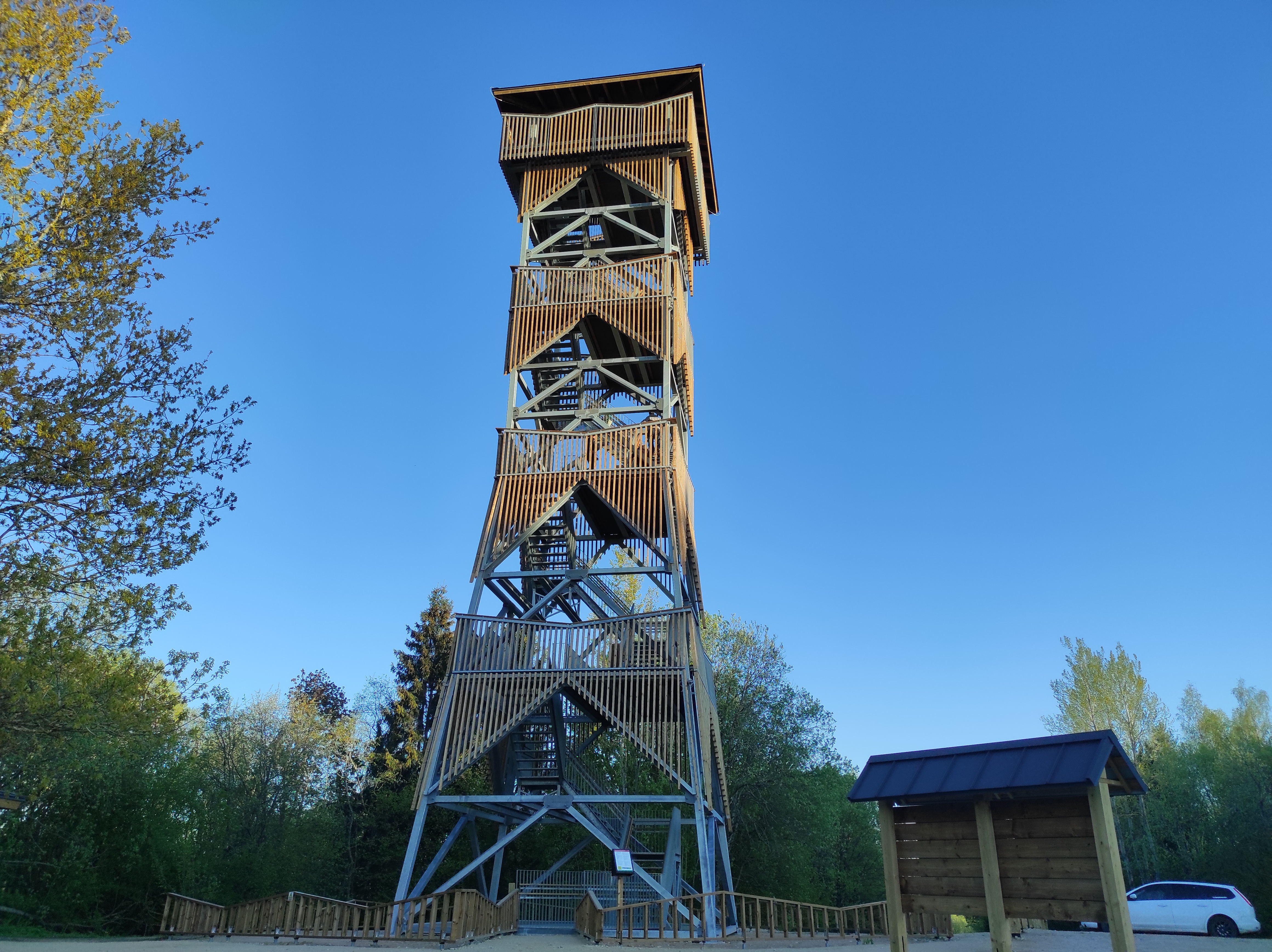
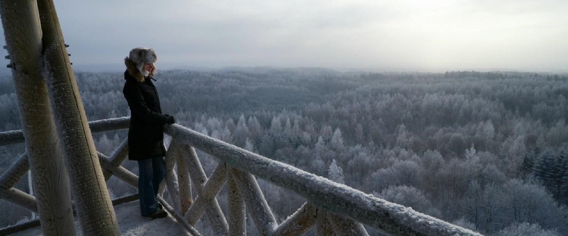
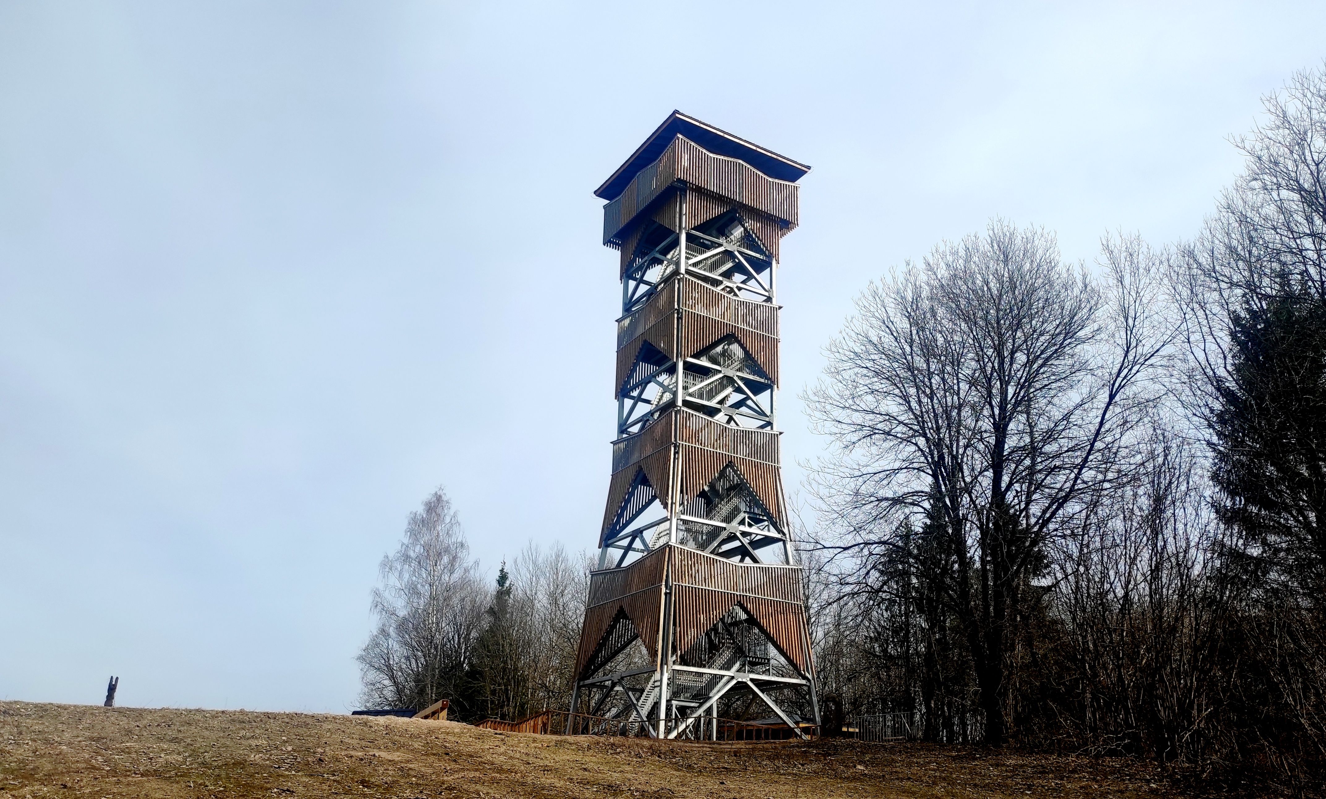
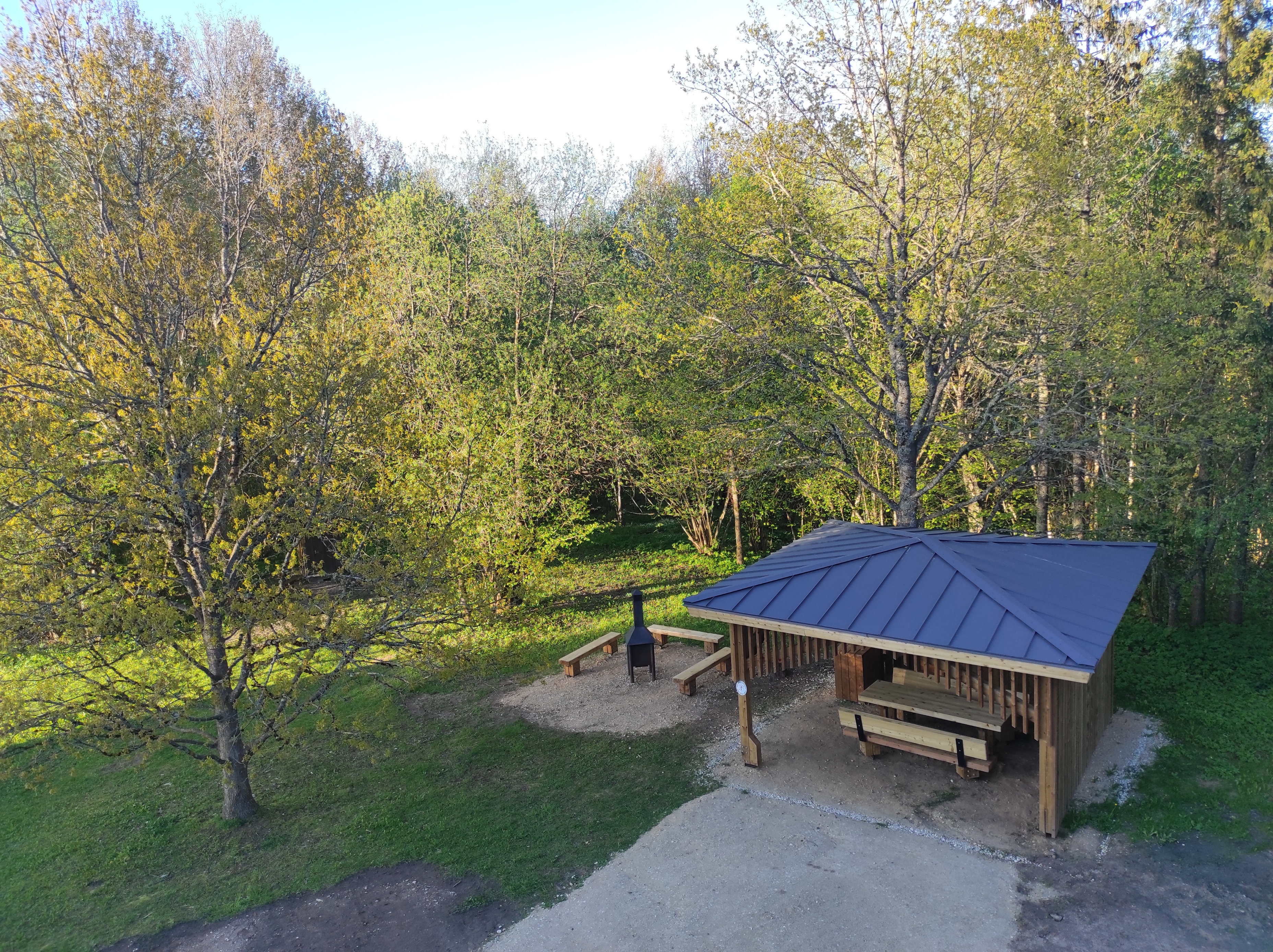
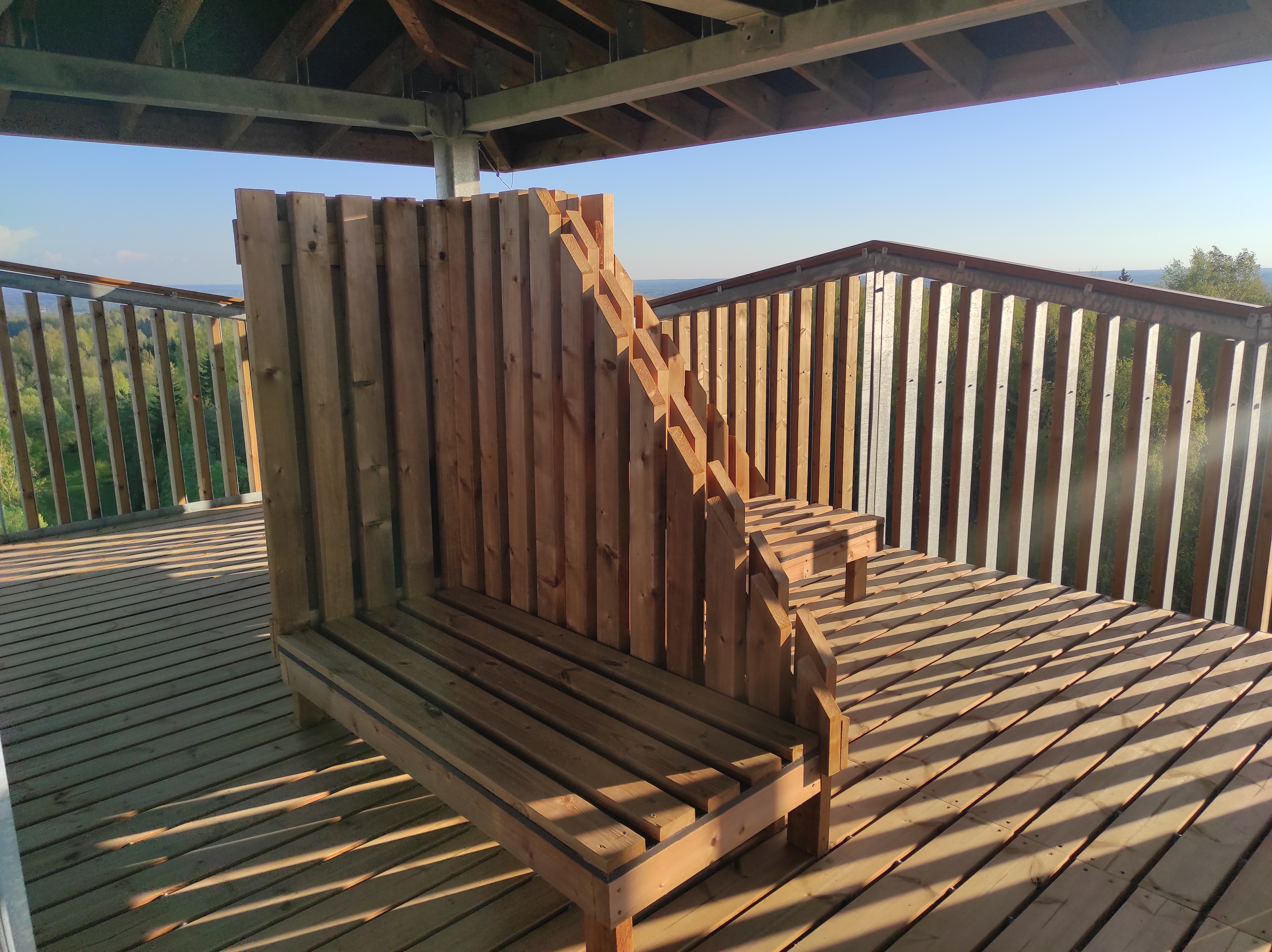
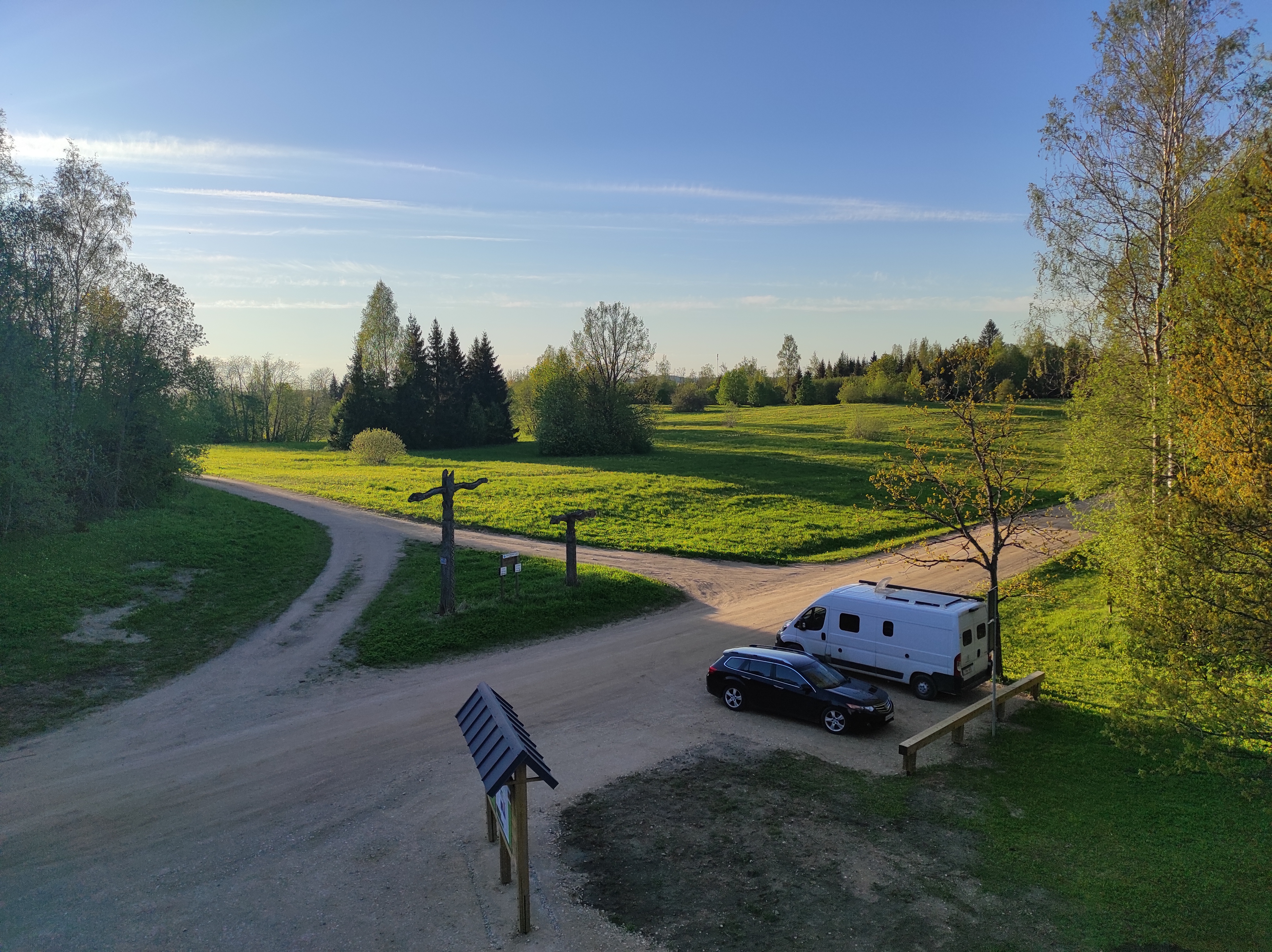
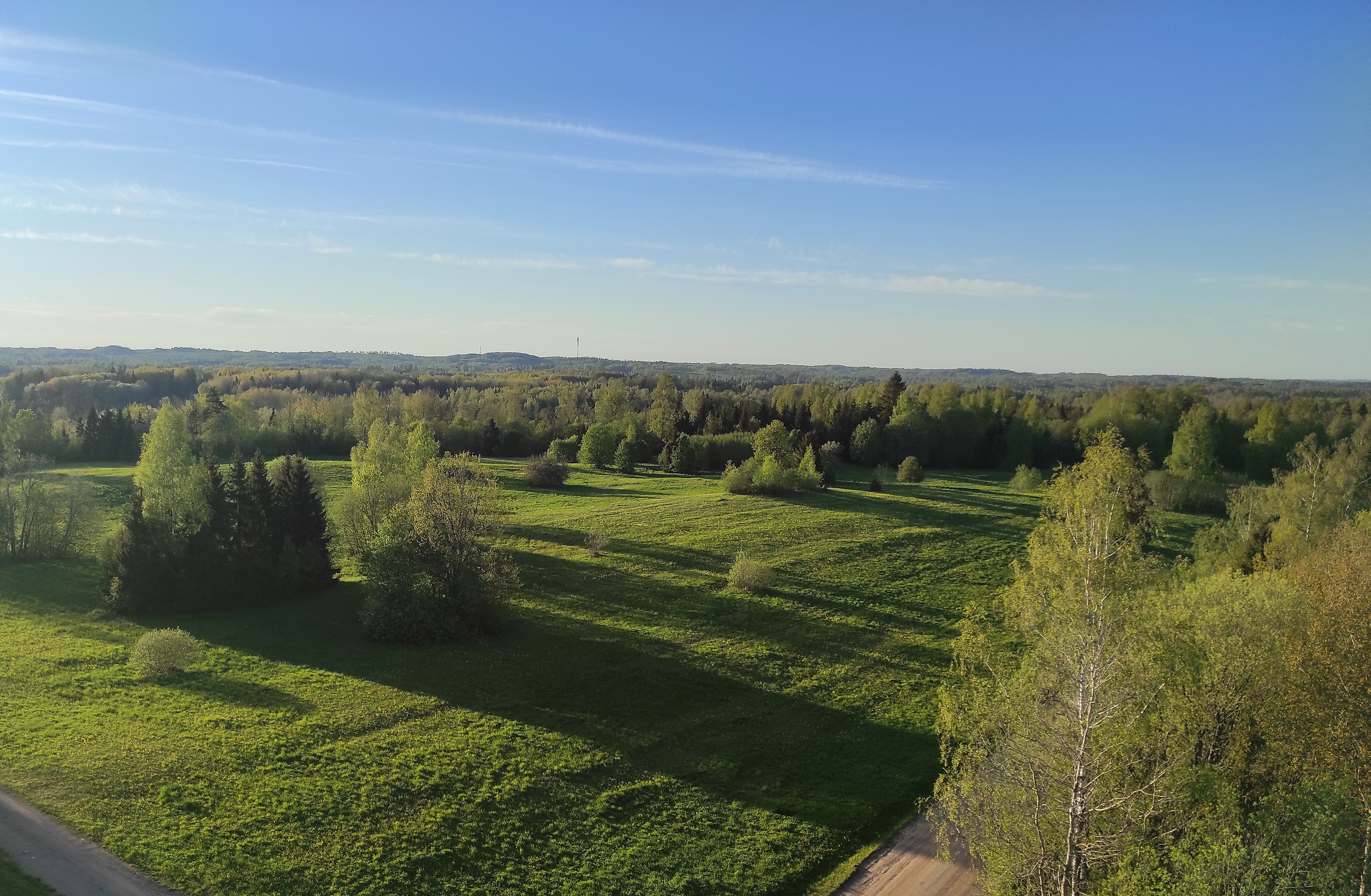
The Harimäe Observation Tower is located 3 km from Kääriku in the direction of Sangaste. The height of the tower is 28 m, and the highest viewing platform is 24 m high. The tower offers views of the Otepää mountains and across the Väike Emajõgi valley to the Karula upland.
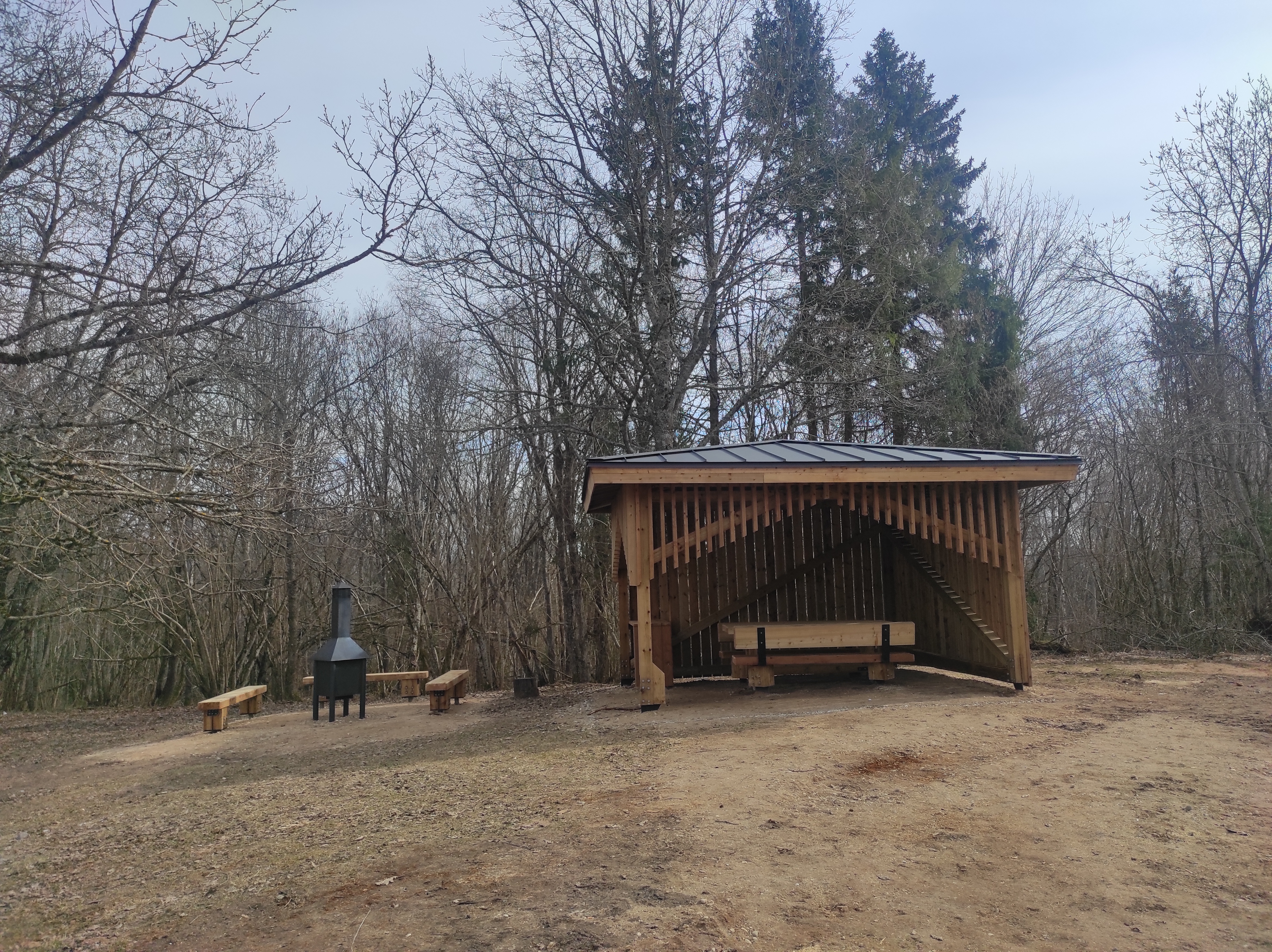
Camping is also allowed at the tower.
Good to know: Harimägi is also called ‘Leenard and Leonhard’s hill.’ From 1816 to 1819, geodetic surveys were carried out here by the internationally recognised astronomer and surveyor Friedrich Georg Wilhelm Struwe (1793–1864).

Amenities

  • Information boards
  • Drop Toilet
  • Free parking

Open times

Throughout the Year

Around the Clock

Contact

  • +372 766 1200
  • turism@otepaa.ee

Links

rmk.ee

See more

  • Hiking Trails

Taevaskoja–Otteni–Taevaskoja hiking trail

The hiking trail, which starts from Suur Taevaskoda, runs on the high banks of the Ahja River and on the tracks of the menu film The Last Relic. Suur Taevaskoda, the partially preserved Otten or Valgesoo watermill complex, the two-vaulted Otten mill bridge, and the miniature canyon, which became famous thanks to the film The Last Relic, picturesque views of the Ahja River, and a pit of a forest brothers' bunker can be seen on the hiking trail. The trail is marked with green colour on the trees and signs and there are several information boards on the trail. It is possible to camp and make a campfire at the Otten campfire site. When coming by car, the hike starts from Saesaare car park and therefore, the trail is about 2 km longer.

  • Camping sites
  • Hiking Trails
  • Beaches

Pikksaare hiking trail and Pangodi campfire site

The Pikksaare hiking trail begins at the swimming and camping area by Lake Pangodi. While walking along the hiking trail, you can enjoy peace and idyllic views of the lake and the surrounding nature and make a short detour to the War of Independence Memorial. The directional signs placed along the trail will help make the hike smoother. The hiking trail passes the Pangodi campfire site, where you can take a short break, as there is a shelter, a barbecue area, a nice swimming spot, and opportunities for camping. Come and spend a nice day in nature with your family or friends!

  • Hiking Trails

Taevaskoda Hiking Trail

Come walk with your family on the Taevaskoda hiking trail, located in the Ahja River Valley Landscape Reserve. The trail starts from the Taevaskodade parking lot and runs circularly along both banks of Ahja River, where the outcrops of Väike and Suur Taevaskoja, caves formed by springs, and picturesque views catch your eye.At the beginning of the hiking trail, there is an information board with a map of the recreational area and the trail. On the trail, signs in Estonian, English, and Russian will help you find the way. Visitors with a wheelchair or a stroller can travel along the alternative trail to Suur Taevaskoda, length 3 km. Good to know: you can see kingfishers flying around while walking in Taevaskoda.

  • Hiking Trails

Õrsava Lake Hiking Trail

The Õrsava Lake Hiking Trail winds around the lake of the same name. The 5 km trail starts officially at the Värska school stadium, but you can start at any point. The lakeside footpath is made more exciting by several bridges. On the shore of Õrsava village there is a campfire site and an RMK bonfire site, as well as a swimming area.In addition to scenic views of nature and pine forests, the hiking trail offers some history: it's partly on the road of the former Estonian Defense Forces Training Center, the so-called , and although the camp was largely dismantled in World War II, some soldiers' barracks and other buildings have been preserved.

  • Hiking Trails

Peräjärve forest trail

Peräjärve forest trail guides the hiker through different forest types - fresh boreal forest, dry boreal forest, boreal heath forest, carr, and swamp forest. You will get an overview of the different uses of the forests throughout history, a living example of this are the trees near the trail, which are used to extract resin from.The study trail can be visited all year round: in spring there're a lot of bird sounds and the daphne mezereum blooms, in summer and autumn the forest is full of berries and mushrooms, and in winter you can see interesting animal tracks in snow.

  • Hiking Trails

Väike Väerada hiking trail

In Tartu County, near the Elva railway station, the Väike Väerada trail is one of the area's most popular hiking paths. It is special because of the wooden sculptures inspired by Estonian fairy tales and created by local artists. Small but mighty, Väerada has a healing effect on both the mind and body. The nature trail offers experiences for hikers of all ages and is suitable for exploration year-round. The attractive sculptures not only adorn the trail but also guide the correct path. The forest trail includes several resting spots and exciting attractions for children, making the journey even more enjoyable. The hiking trail ends at the Tartumaa Health Sports Center, where you can continue adventuring on other forest trails, play disc golf, or enjoy playground fun with children under the beautiful pines. Come take a walk in nature, discover fairy-tale sculptures, and let Elva Väerada offer you peace and experience in every season.

  • Hiking Trails

Padakõrve Hiking Trail

The hiking trail runs along a gravel road in a forest and introduces the life of ants. There are information boards next to the gravel road, as well as signposts near the ant colonies. The trail can also be explored in a vehicle. The 3.6 km trail starts at the information board at the roadside.The hiking trail is located in Padakõrve Nature Reserve. Its most important values include one of the largest populations of Scottish wood ants, diverse forest communities, and a multifaceted landscape. The purpose of the protected area is to protect the Scottish wood ants, as well as other protected species and their habitats, the forest communities, and the Kärgandi kame field.

  • Hiking Trails

Kütioru hiking trail

The hiking trail starts from the parking area near the Kütiorg Holiday Centre. The trail is diverse, with fairly steep and challenging terrain, so it's recommended to allow four to five hours to complete it. Along the trail, hikers get the best view of Estonia’s largest and most powerful ancient valley – Kütiorg – and can explore old mill sites and other cultural heritage landmarks. In the forested slopes of Kütiorg, there are spruce stands over a hundred years old, as well as exceptionally thick and tall aspen trees. Near the starting point of the trail, there is a campfire site equipped with a grill grate. Good to know: Part of the trail passes through private property, where dogs may roam freely.

  • Collaboration
  • News
  • Contacts
  • Privacy Policy
Join our mailing list!

"*" indicates required fields

This field is for validation purposes and should be left unchanged.
I authorise marketing

Southern Estonian Tourism Cluster

info@visitsouthestonia.com