• Explore
    • Nature
    • Culture
    • Food
    • Family
    • Activity
    • Blog
  • Plan
    • Tourist info
    • Accommodation
  • For professionals
    • For professionals
    • Collaboration
    • News
    • Projects
    • Training
    • Repository
    • Community (opens in new tab)
    • Contacts
ENG
  • EnglishENG
  • EestiEST
  • LatviešuLAT
  • РусскийRUS
  • SuomiFIN
ENG
  • EnglishENG
  • EestiEST
  • LatviešuLAT
  • РусскийRUS
  • SuomiFIN
Popular searches:
Show all
  • Nature and Activities
  • Nature
  • Hiking Trails

Peräjärve forest trail

Antsla vald, Võru maakond, 66420

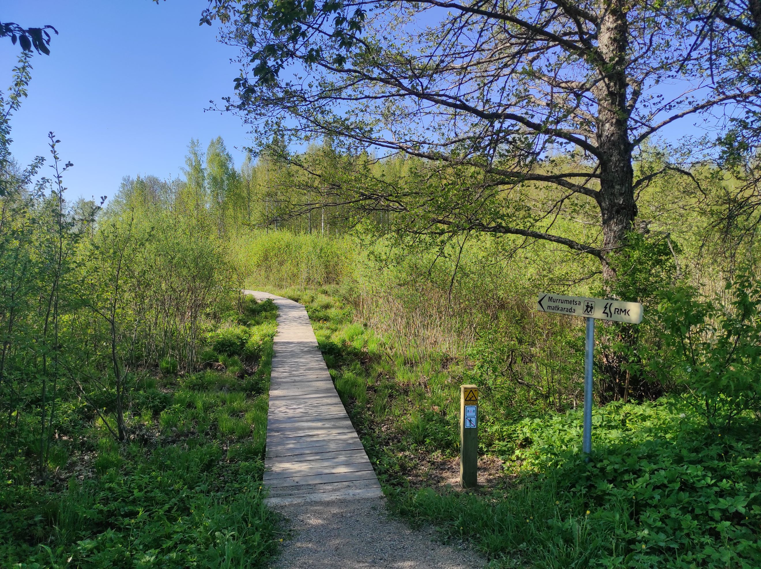
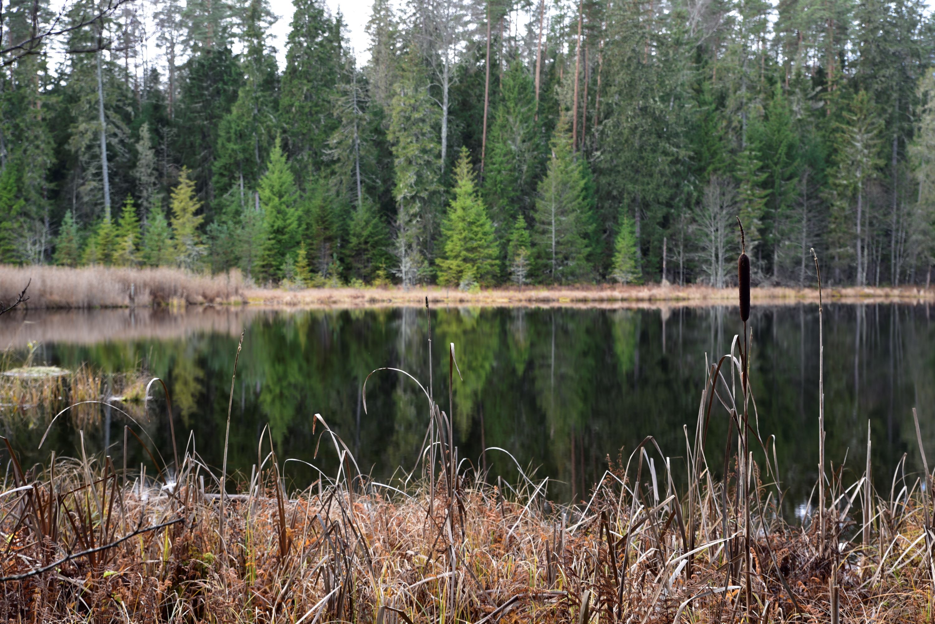
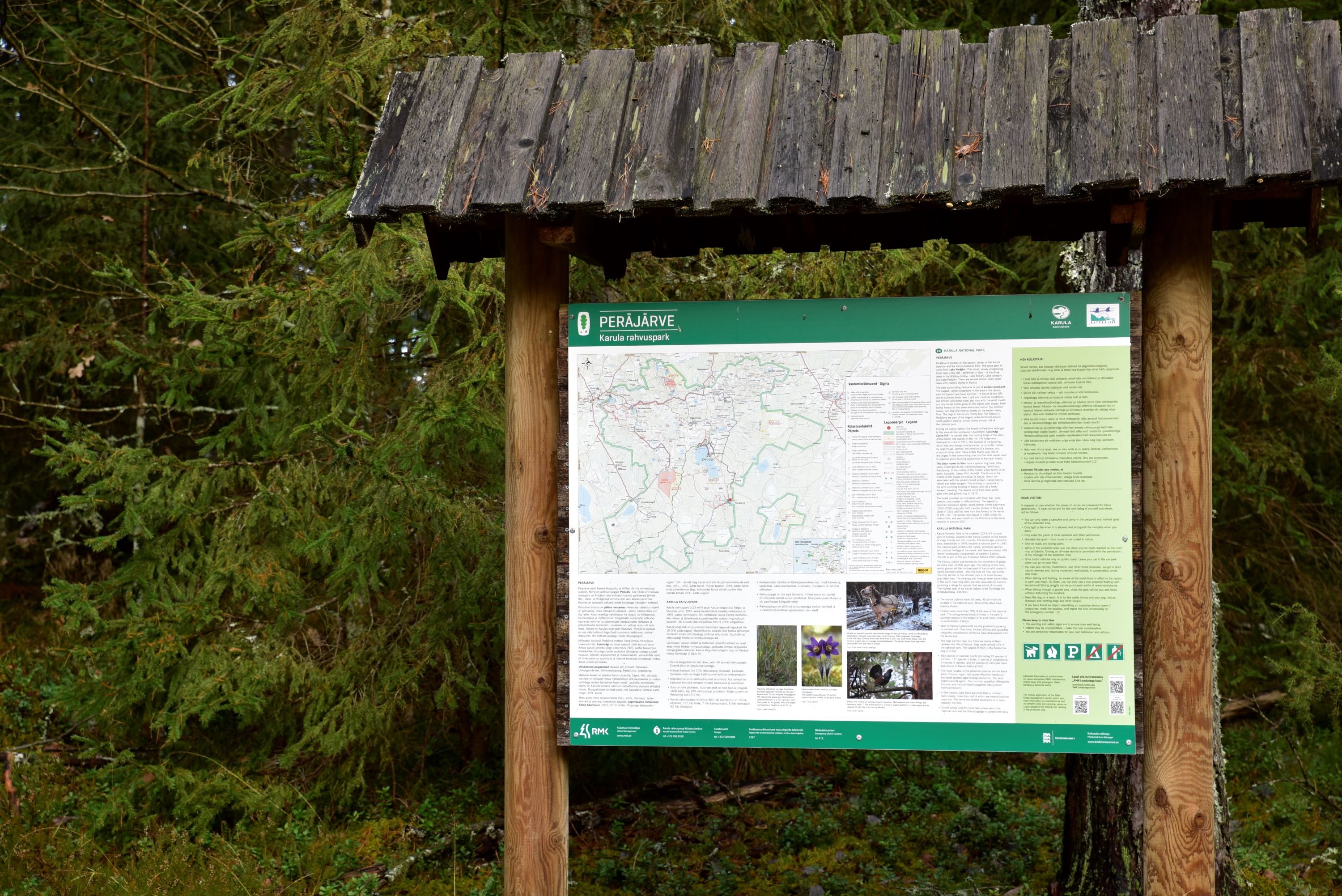
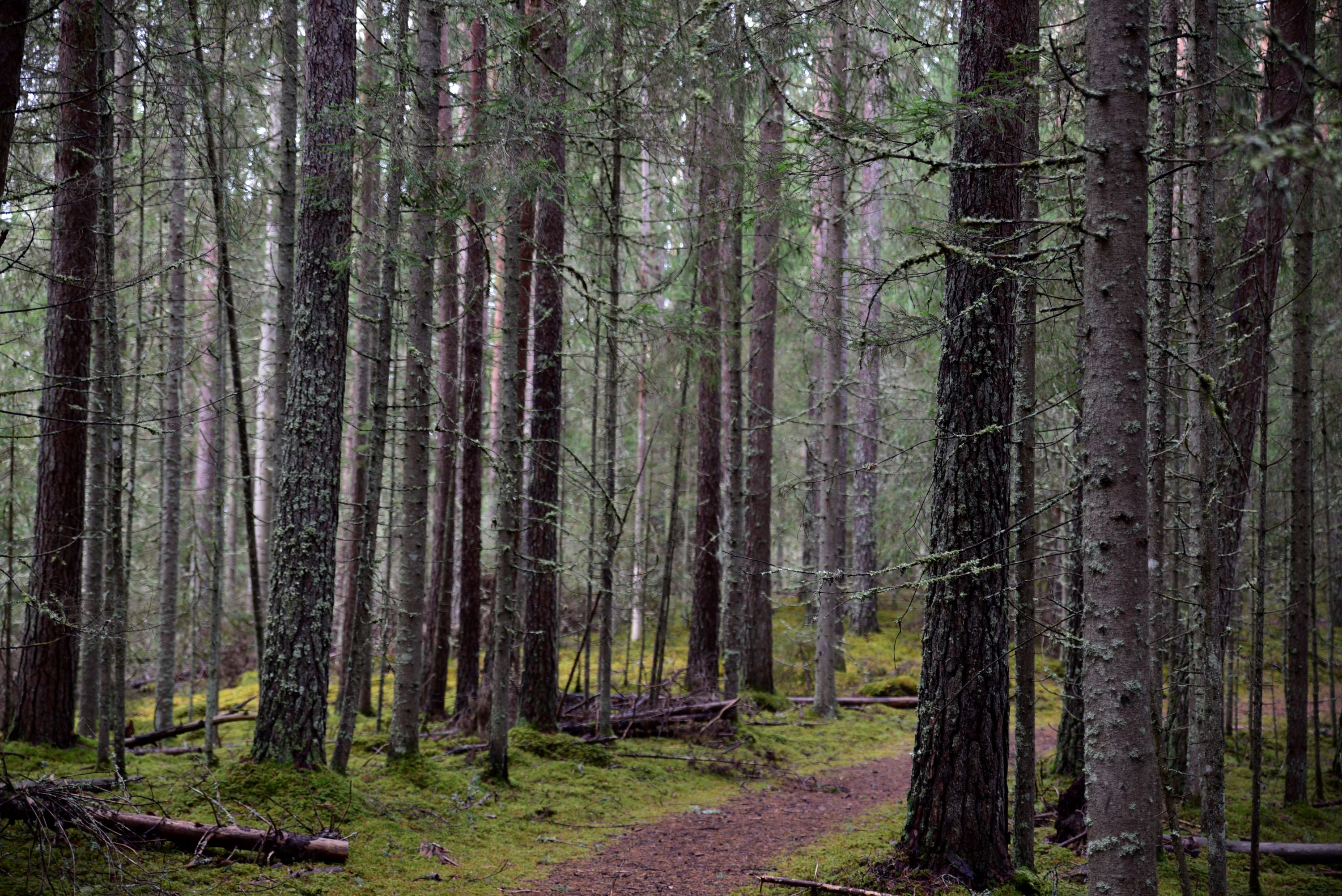
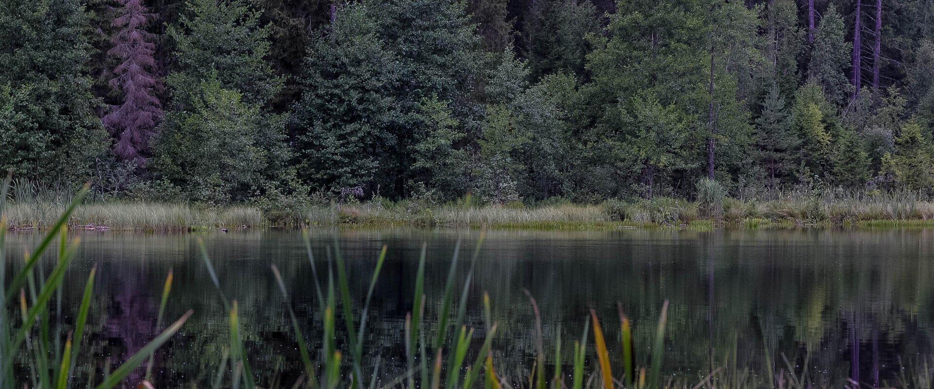
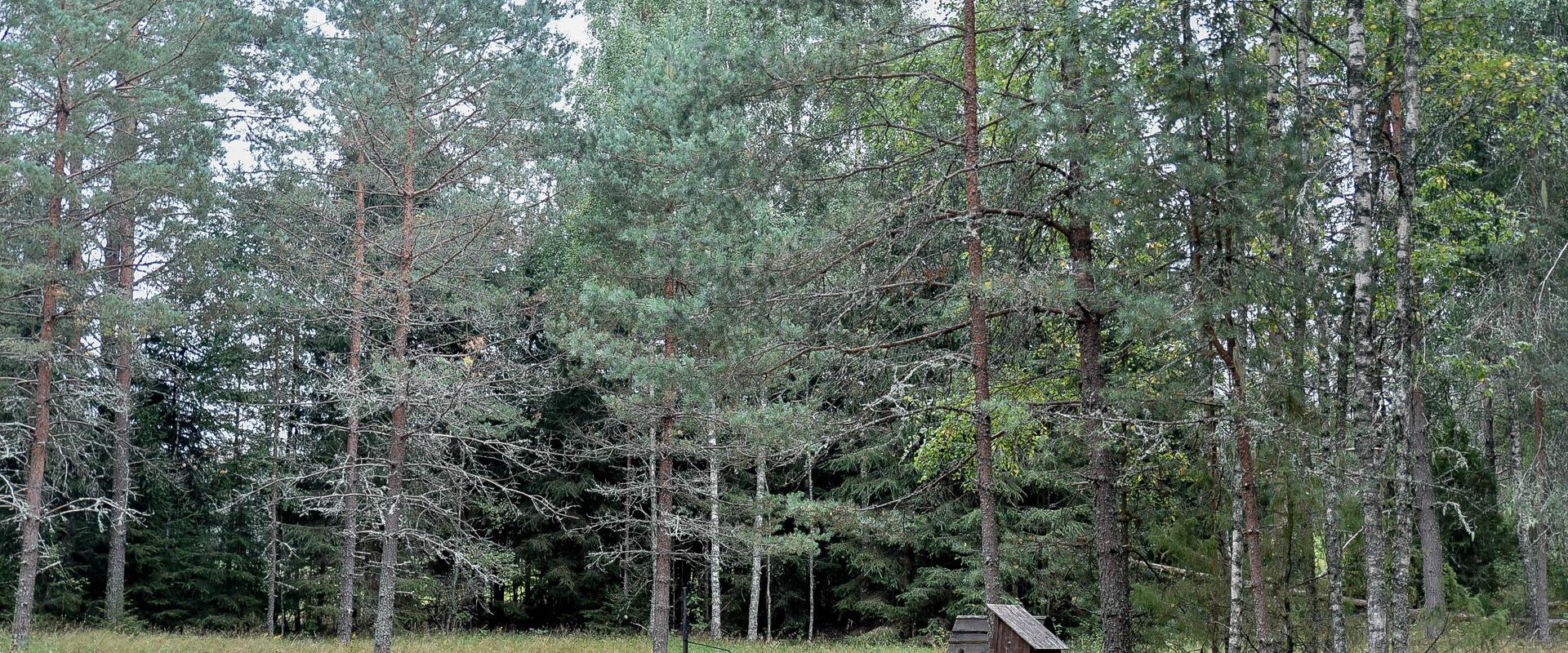
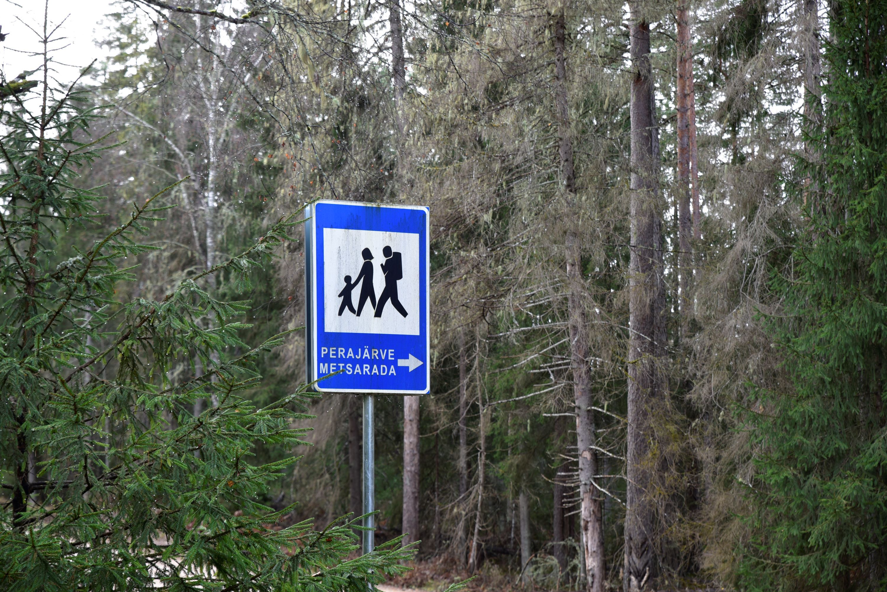
Peräjärve forest trail guides the hiker through different forest types – fresh boreal forest, dry boreal forest, boreal heath forest, carr, and swamp forest. You will get an overview of the different uses of the forests throughout history, a living example of this are the trees near the trail, which are used to extract resin from.The study trail can be visited all year round: in spring there’re a lot of bird sounds and the daphne mezereum blooms, in summer and autumn the forest is full of berries and mushrooms, and in winter you can see interesting animal tracks in snow.

Amenities

  • Information boards
  • Free parking

Open times

Throughout the Year

Around the Clock

Contact

  • +372 782 8350
  • info.karula@rmk.ee

Links

loodusegakoos.ee

See more

  • Hiking Trails

Emajõe river shore path

The 4-km Emajõe river shore path starts from the Turu bridge between River Emajõgi and Anne channel, and it runs on the Natura 2000 protection area and offers spacious views of the Anne channel, River Emajõgi, ship and boat traffic, and Karlova harbour.The hiking trail features information boards, riverside picnic areas, and several bridges, you can also meet hobby fishermen there. During spring, the path may be flooded and provides an opportunity to enjoy the views of the flooded meadow. When the trail ends, you can walk the same way back. Another option is to turn left to the gravel road, which leads to the Ihaste cycling and walking road.

  • Lookout towers
  • Hiking Trails

Kekkonen hiking track

The Kekkonen hiking track can be used all year round – in summer for hiking, jogging and cycling and in winter for skiing. The track was named after former Finnish president Urho Kaleva Kekkonen, who visited Kääriku. The 15 km track starts from Kääriku stadium and passes through several spots of natural beauty, including Harimägi Hill – one of the highest points in the Otepää Highlands (211.3 m above sea level). Its viewing tower, which stands 26 metres high, is right next to the hiking track. Those with more energy can follow the additional 5 km loop on Harimägi Hill.

  • Hiking Trails

Rebäse landscape trail

The 7-kilometre-long Rebäse landscape trail is located in the Karula National Park. The trail runs through old farm landscapes, passing the oldest farmstead in the area and the Linnamägi hill with traces of settlement from the Early Iron Age. Hikers can climb up the local "Mount Ararat", see Lake Raudjärv with its ice-cold water, and admire one of the largest gullies of Karula upland.You may need sturdy boots to pass the trail because in rainy weather the trail might be muddy and the boardwalk slippery. The trail also passes pastures, so you might encounter curious but generally friendly cows. Be careful around farm fences, they may be electric!

  • Hiking Trails

Murrumetsa Hiking Trail

Murrumetsa Hiking Trail starts from the Pühajärve Manor Park and runs through Murrumetsa forest back to the park. It takes about 1-1.5 hours to pass the 3.5 km track. There are information boards next to the track that give information about the flora and fauna of our forests and cultivated landscapes. The track passes the ancient Pühajärv War Oak (circumference 6.98 m and height 22 m) and the commemorative stone to mark the Pühajärv War of 1841, which can be found among the oaks of Murrumets Forest. There are also rest areas and fire sites by the trail.

  • Hiking Trails

Tiksoja hiking trails and campfire sites

The Tiksoja hiking trails located near Tartu are suitable for families, amateur athletes and dog owners. The 1-2km circle-shaped trails start from the Tiksoja campfire site parking lot. The versatile trails run along forest paths. The 700-meter trail with compacted gravel cover you will be able to walk with a baby carriage or wheelchair. The 1-kilometre trail features activity areas for children and a fenceless area for dogs, the 2-kilometer trail features an outdoor gym. The trails are characterised by various bridges and crossings, a boardwalk and information boards located at interest points.You can rest at the Tiksoja campfire site with two roofed bench-tables and campfires with grilling griddles.

  • Hiking Trails

Järvselja Primeval Forest Nature Study Trail

Järvselja nature study trail introduces the forest surrounding the centre of forestry and research. The trail is diverse and passes through a number of forests. Here, you will see the King’s pine (Kuningamänd), which is over 380 years old, as well as spruces that are more than 40 meters high – making them one of the highest trees in Estonia.The trail runs partly on a boardwalk and the route is 1–5 km long. A good starting point is either the Järvselja Hunting Lodge or the guest house, where there are information boards with a map of the trails.Järvselja study trail and the primeval forest represent one of the best locations to discover in Southern Estonia, marked with the yellow frame of National Geographic.

  • Hiking Trails

Taevaskoja–Otteni–Taevaskoja hiking trail

The hiking trail, which starts from Suur Taevaskoda, runs on the high banks of the Ahja River and on the tracks of the menu film The Last Relic. Suur Taevaskoda, the partially preserved Otten or Valgesoo watermill complex, the two-vaulted Otten mill bridge, and the miniature canyon, which became famous thanks to the film The Last Relic, picturesque views of the Ahja River, and a pit of a forest brothers' bunker can be seen on the hiking trail. The trail is marked with green colour on the trees and signs and there are several information boards on the trail. It is possible to camp and make a campfire at the Otten campfire site. When coming by car, the hike starts from Saesaare car park and therefore, the trail is about 2 km longer.

  • Hiking Trails

Kaljupealse campfire site

The Kaljupealse campfire site is located on the banks of the Võhandu River, in a beautiful pine forest. The riverside and high banks offer a beautiful view of the Võhandu River and sand outcrops. The campfire site has a roofed table and benches, a roofed grill, and firewood. The place is ideal for campers, fishing enthusiasts, and as a resting point for guests coming here with boats.Along the high sandy shores, through a beautiful pine forest, there is an unmarked hiking trail where you can enjoy beautiful views of nature or pick berries and mushrooms.

  • Collaboration
  • News
  • Contacts
  • Privacy Policy
Join our mailing list!

"*" indicates required fields

This field is for validation purposes and should be left unchanged.
I authorise marketing

Southern Estonian Tourism Cluster

info@visitsouthestonia.com