• Explore
    • Nature
    • Culture
    • Food
    • Family
    • Activity
    • Blog
  • Plan
    • Tourist info
    • Accommodation
  • For professionals
    • For professionals
    • Collaboration
    • News
    • Projects
    • Training
    • Repository
    • Community (opens in new tab)
    • Contacts
ENG
  • EnglishENG
  • EestiEST
  • LatviešuLAT
  • РусскийRUS
  • SuomiFIN
ENG
  • EnglishENG
  • EestiEST
  • LatviešuLAT
  • РусскийRUS
  • SuomiFIN
Popular searches:
Show all
  • Nature and Activities
  • Nature
  • Camping sites
  • Hiking Trails
  • Beaches

Lake Pühajärv hiking trail

Kolga tee 28, Otepää vald, Valga maakond, 67405

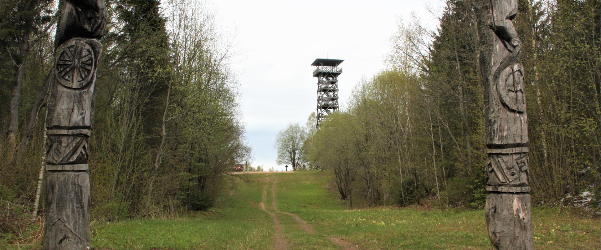
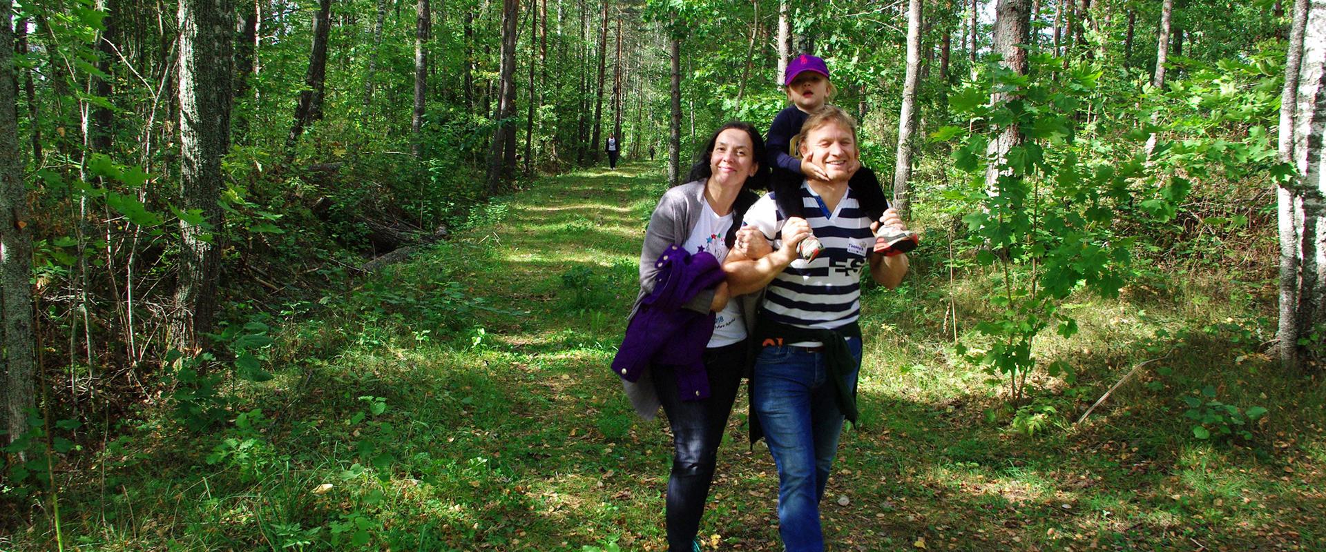
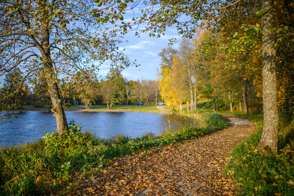
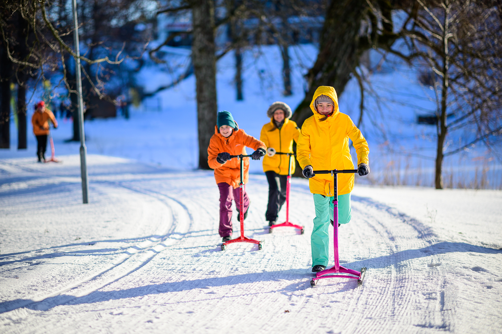
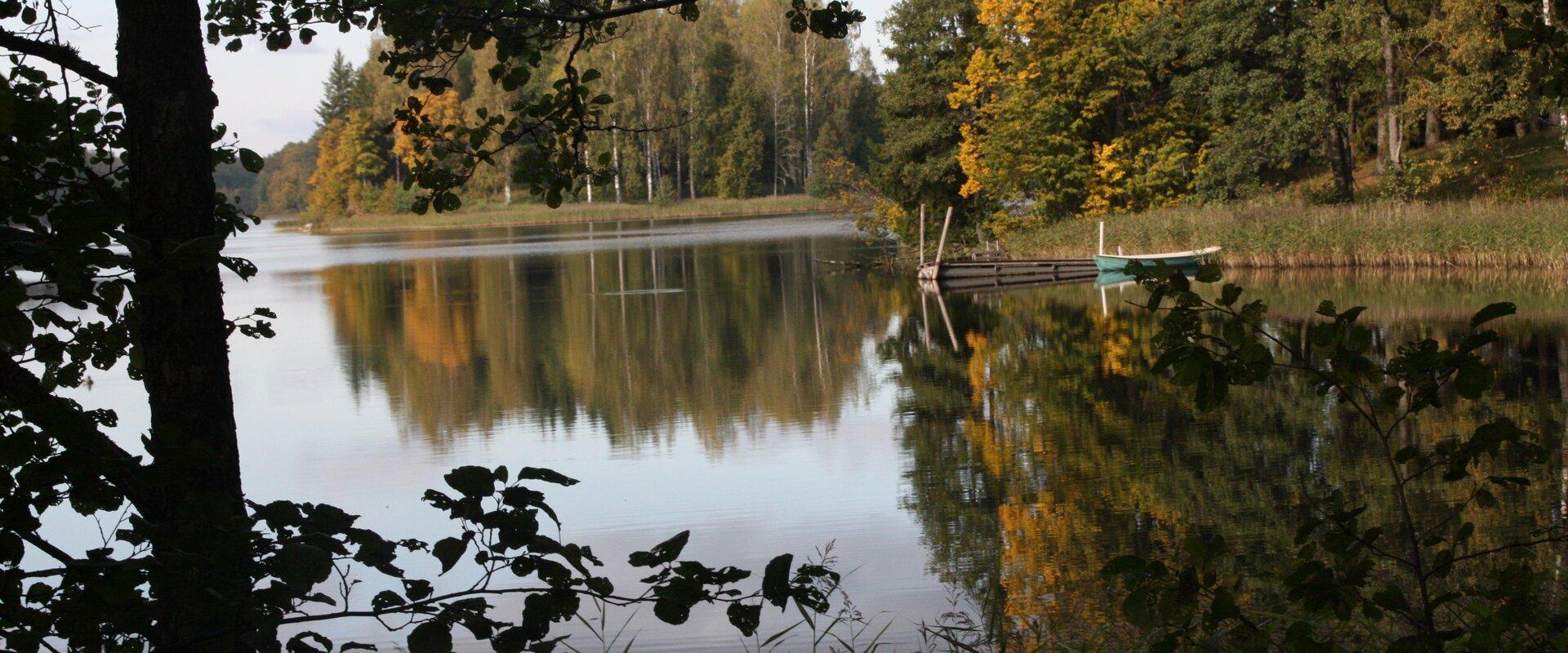
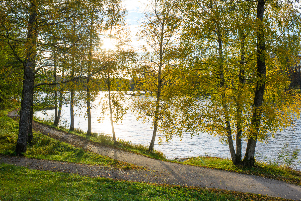
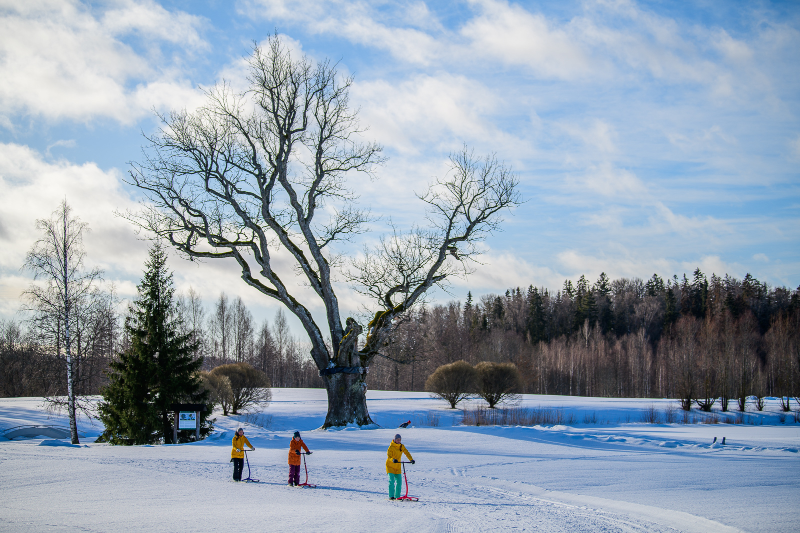
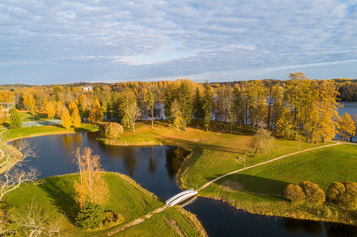
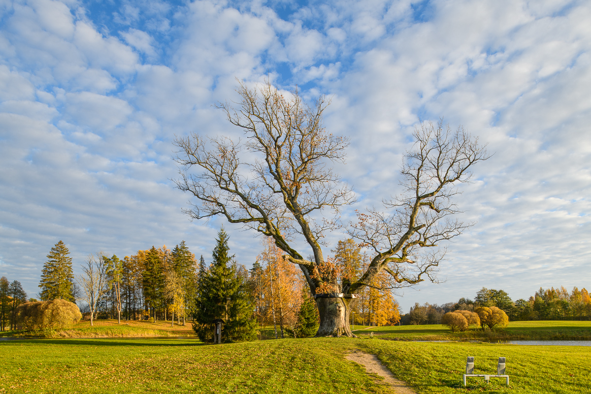
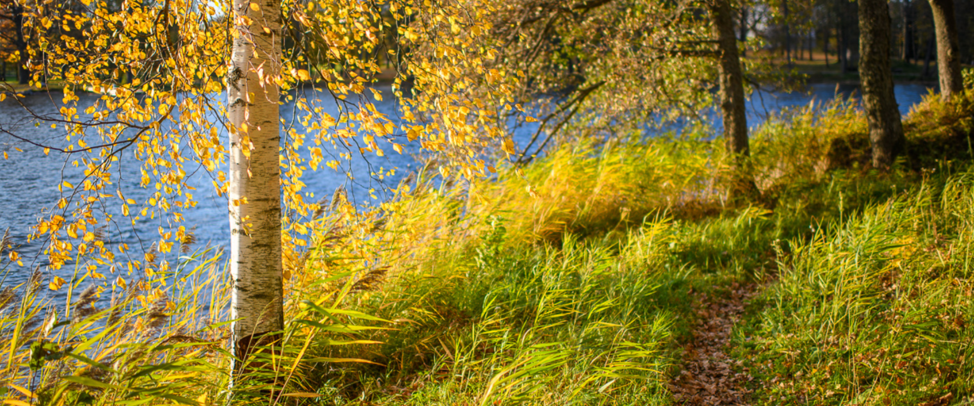
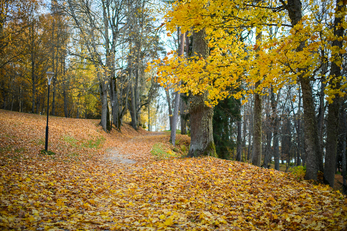
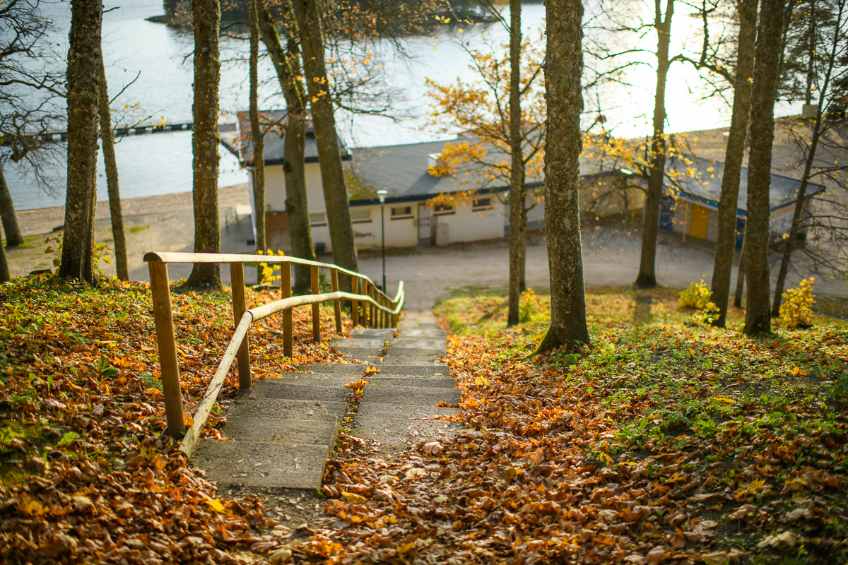
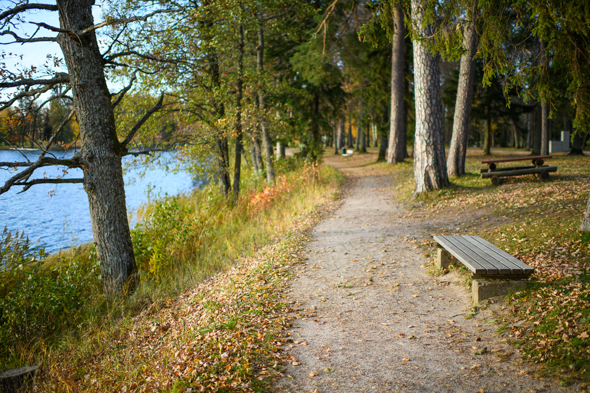
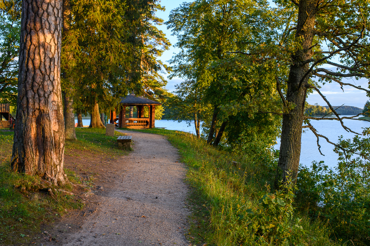
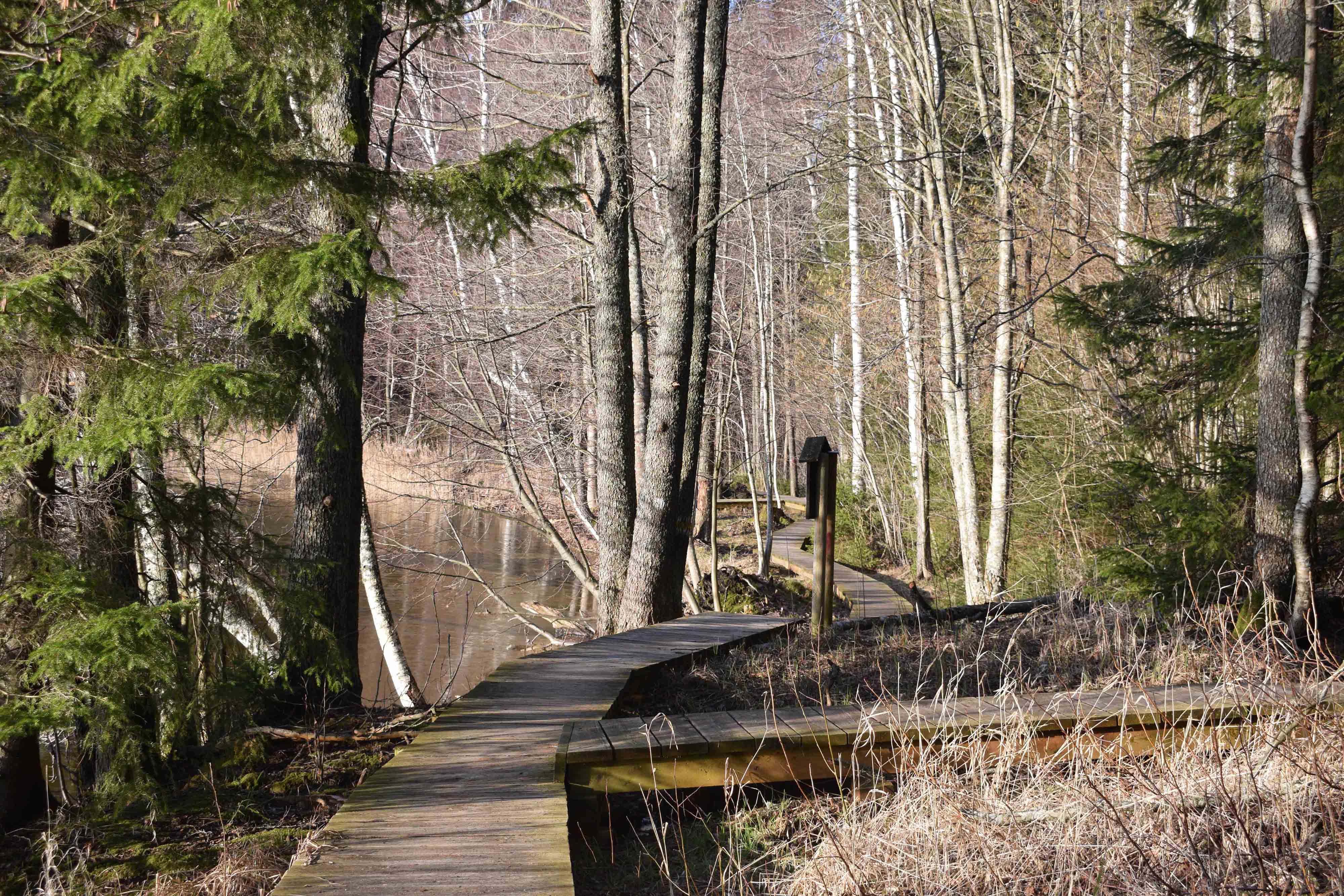
The hiking trail that encircles Lake Pühajärv starts near the centre of Otepää Nature Park. The 14 km trail takes you on a voyage of discovery around one of the most unique and beautiful lakes in Estonia.
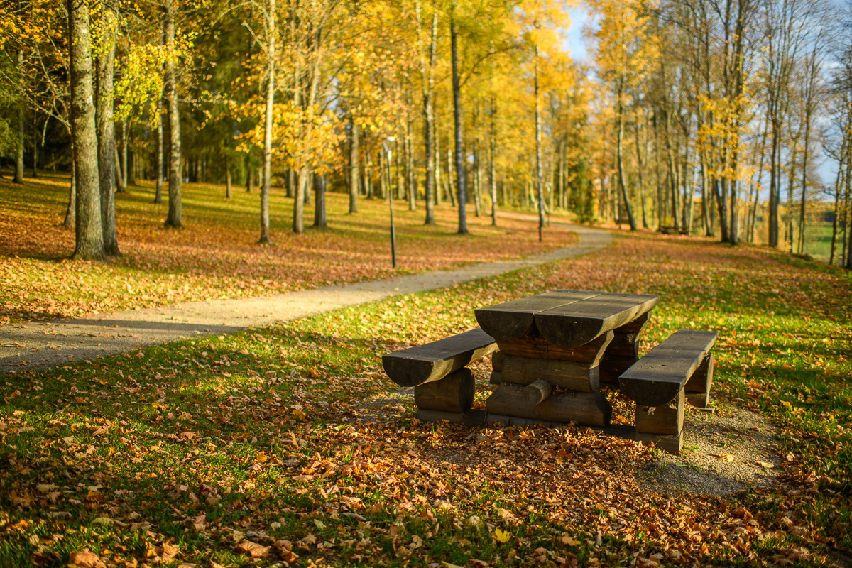
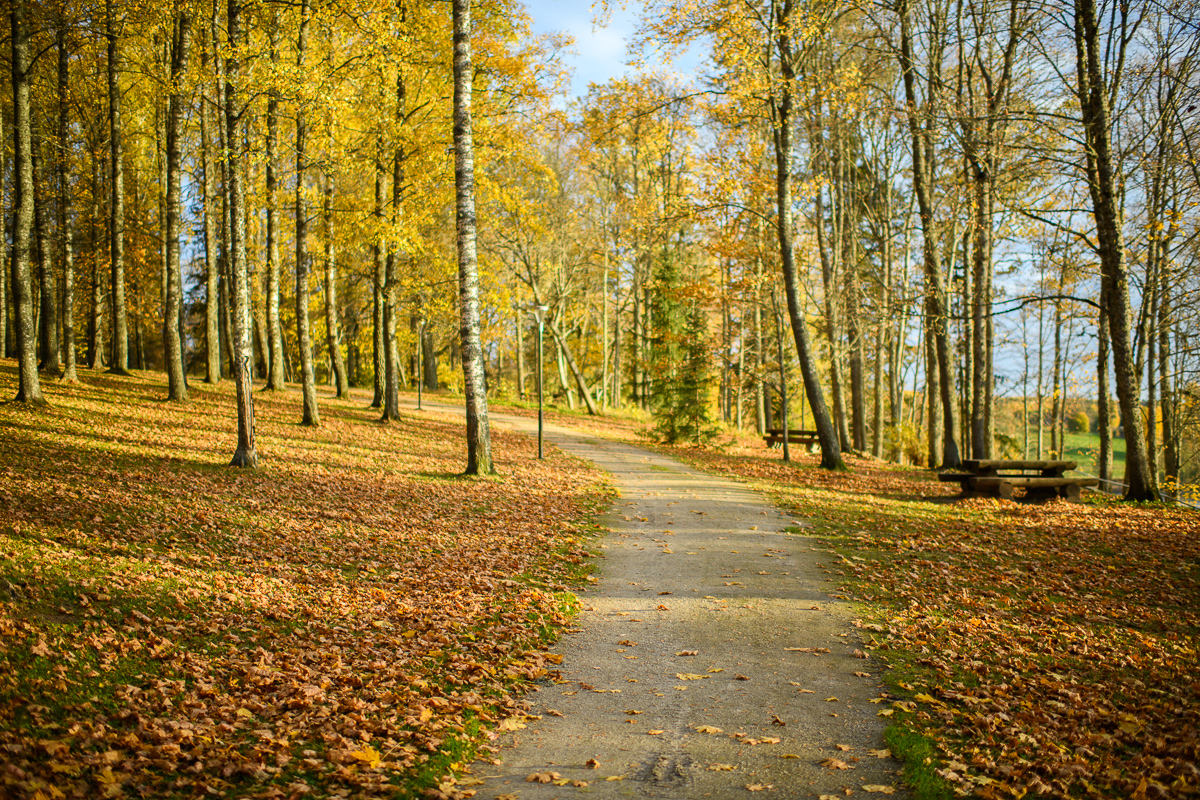
Covering the whole track takes from 3–6 hours. There are rest areas and barbecue sites along the way. Part of the track (approximately 2.2 km) runs along the Pühajärve–Kääriku exercise track by the Otepää–Kääriku highway.
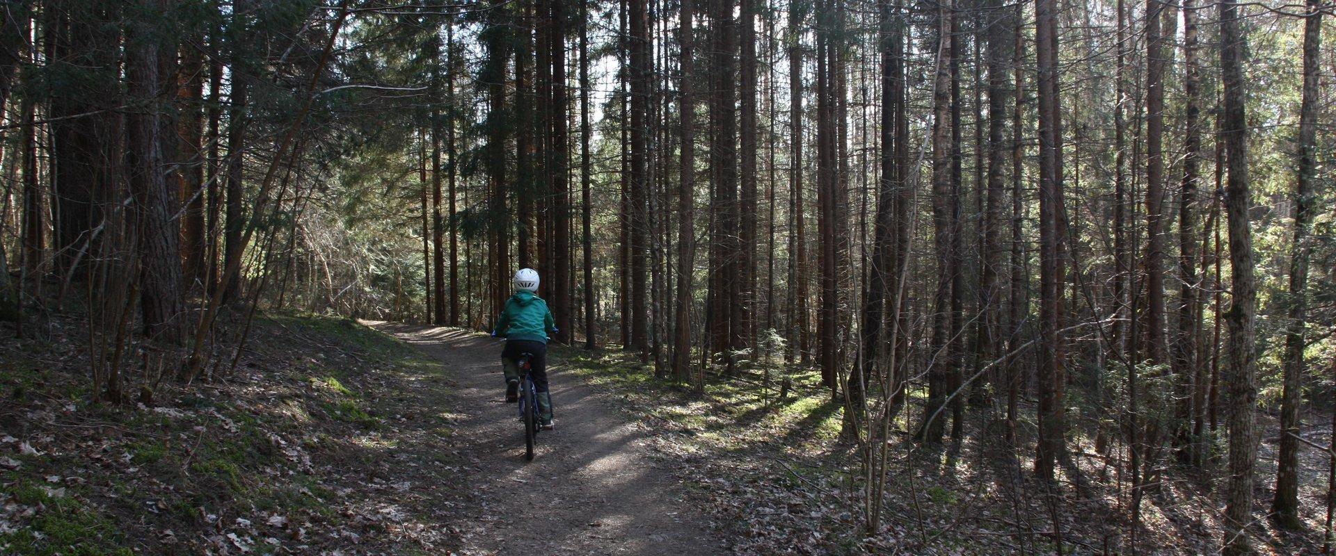
You can cover the track by foot or bike. Cyclists must bear in mind that there are parts of the track on which you will have to push your bike instead of riding it. The Angunina, Kiigemäe and Koolirand campfire sites are located on the trail. There, you can make a fire and camp.

Amenities

  • Information boards
  • Free parking

Open times

Throughout the Year

Around the Clock

Contact

  • +372 766 1200
  • turism@otepaa.ee

Links

rmk.ee

See more

  • Hiking Trails

RMK forest study trail at Pähni Nature Centre

The 2.8 km Pähni forest trail starts and ends at the Pähni Nature Centre.The trail starts with an information board with introductory text, later on you have to follow the signs.There are 15 points of interest on the trail with information on different types of forests, species of trees and evidence of cultural heritage and animal activity. There is also a fire pit and shelters (4) where you can relax and take a break. The trail is partially covered with a wooden boardwalk (200 m).

  • Hiking Trails

Apteekrimäe forest trail

Apteekrimäe forest track starts and ends by Otepää Sports Hall on Mäe Street. The 4 km track runs through the forest to Nüpli Sports Track and then back to the Apteekri forest, where it meets the forest path between Lake Marguse and Otepää Garden Town before returning to its starting point after crossing the Sulaoja bridge. The track can be used all year round.

  • Lookout towers
  • Hiking Trails

Kekkonen hiking track

The Kekkonen hiking track can be used all year round – in summer for hiking, jogging and cycling and in winter for skiing. The track was named after former Finnish president Urho Kaleva Kekkonen, who visited Kääriku. The 15 km track starts from Kääriku stadium and passes through several spots of natural beauty, including Harimägi Hill – one of the highest points in the Otepää Highlands (211.3 m above sea level). Its viewing tower, which stands 26 metres high, is right next to the hiking track. Those with more energy can follow the additional 5 km loop on Harimägi Hill.

  • Hiking Trails

Murrumetsa Hiking Trail

Murrumetsa Hiking Trail starts from the Pühajärve Manor Park and runs through Murrumetsa forest back to the park. It takes about 1-1.5 hours to pass the 3.5 km track. There are information boards next to the track that give information about the flora and fauna of our forests and cultivated landscapes. The track passes the ancient Pühajärv War Oak (circumference 6.98 m and height 22 m) and the commemorative stone to mark the Pühajärv War of 1841, which can be found among the oaks of Murrumets Forest. There are also rest areas and fire sites by the trail.

  • Hiking Trails

Hiking trail Green Railways Valga / Valka–Ape

The Valga/Valka–Ape narrow gauge railway was opened to traffic in 1900 and the last trains ran here in 1970.Today, most of the old railway embankment is used as a hiking trail that runs through forests and fields on gravel and dirt roads.On the Valka–Žuldin and Koikküla–Hargla section, the trail is redirected to larger roads, because the former railway dam is mostly impassable there.Many old railway photographs and historical stories related to the railway have been attached to the old sleepers on the railway dam.There is a resting place in Hargla.

  • Hiking Trails

Tiksoja hiking trails and campfire sites

The Tiksoja hiking trails located near Tartu are suitable for families, amateur athletes and dog owners. The 1-2km circle-shaped trails start from the Tiksoja campfire site parking lot. The versatile trails run along forest paths. The 700-meter trail with compacted gravel cover you will be able to walk with a baby carriage or wheelchair. The 1-kilometre trail features activity areas for children and a fenceless area for dogs, the 2-kilometer trail features an outdoor gym. The trails are characterised by various bridges and crossings, a boardwalk and information boards located at interest points.You can rest at the Tiksoja campfire site with two roofed bench-tables and campfires with grilling griddles.

  • Hiking Trails

Selli-Sillaotsa study trail

If you want a break from the hustle and bustle of the city, head to the beautiful, untouched nature of the Selli-Sillaotsa educational trail. Trail is located in the Alam-Pedja nature reserve, 30 minutes by car from Tartu. The well-marked trail, winding over a bog, through the forest, and on a gravel road, with plenty of information boards, is flat and easy to navigate. From the 12 m high Suuretüki observation tower built of massive logs, you can enjoy beautiful views of the bog in any season! If you find yourself on the trail at the right time of year, you can treat yourself to edible berries, such as blueberries, blackberries, and cranberries.

  • Hiking Trails

Hiking trail in the Rõuge Primeval Valley

The Rõuge Primeval Valley hiking trail is as straight as a line, 10 km long, it begins at Hinni Canyon or in the Ööbikuoru Centre parking lot. Beginning at the Ööbikuorg start point, the trail runs along the shores of seven lakes towards Hinni Canyon and offers hikers an opportunity to observe the workings of the area's water rams, see the deepest Estonian lake – Rõuge Suurjärv and visit Rõuge Park.Further on, on the shores of Lakes Ratasjärve, Tõugjärve and Kahrila, hikers can see the local forest communities, rest in meadows or enjoy the village landscape and proceed along the short path towards Hinni Canyon.

  • Collaboration
  • News
  • Contacts
  • Privacy Policy
Join our mailing list!

"*" indicates required fields

This field is for validation purposes and should be left unchanged.
I authorise marketing

Southern Estonian Tourism Cluster

info@visitsouthestonia.com