• Explore
    • Nature
    • Culture
    • Food
    • Family
    • Activity
    • Blog
  • Plan
    • Tourist info
    • Accommodation
  • For professionals
    • For professionals
    • Collaboration
    • News
    • Projects
    • Training
    • Repository
    • Community (opens in new tab)
    • Contacts
ENG
  • EnglishENG
  • EestiEST
  • LatviešuLAT
  • РусскийRUS
  • SuomiFIN
ENG
  • EnglishENG
  • EestiEST
  • LatviešuLAT
  • РусскийRUS
  • SuomiFIN
Popular searches:
Show all
  • Nature and Activities
  • Nature
  • Hiking Trails

Selli-Sillaotsa study trail

Alam-Pedja looduskaitseala 94, Tartu vald, Tartu maakond, 60605

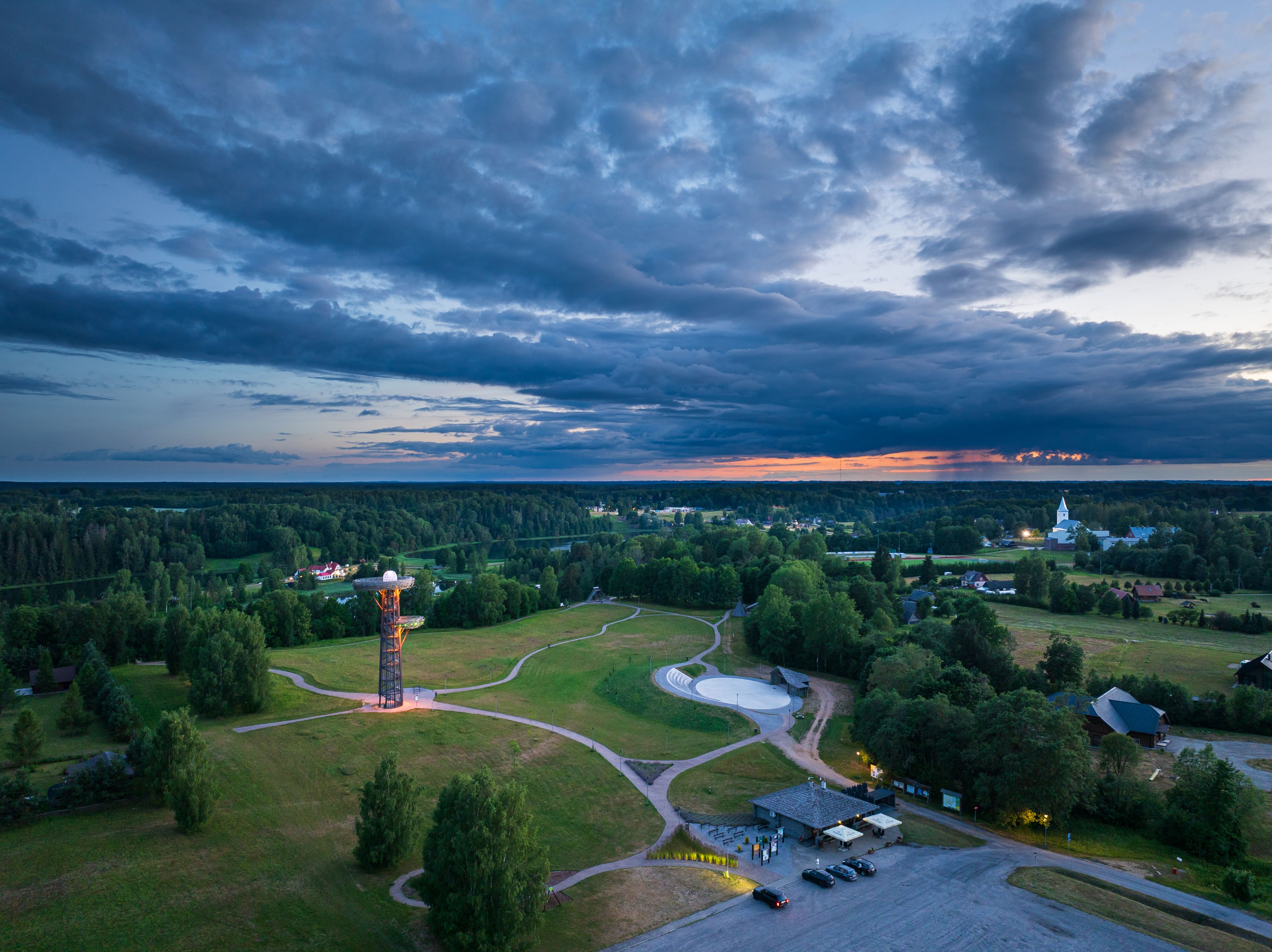
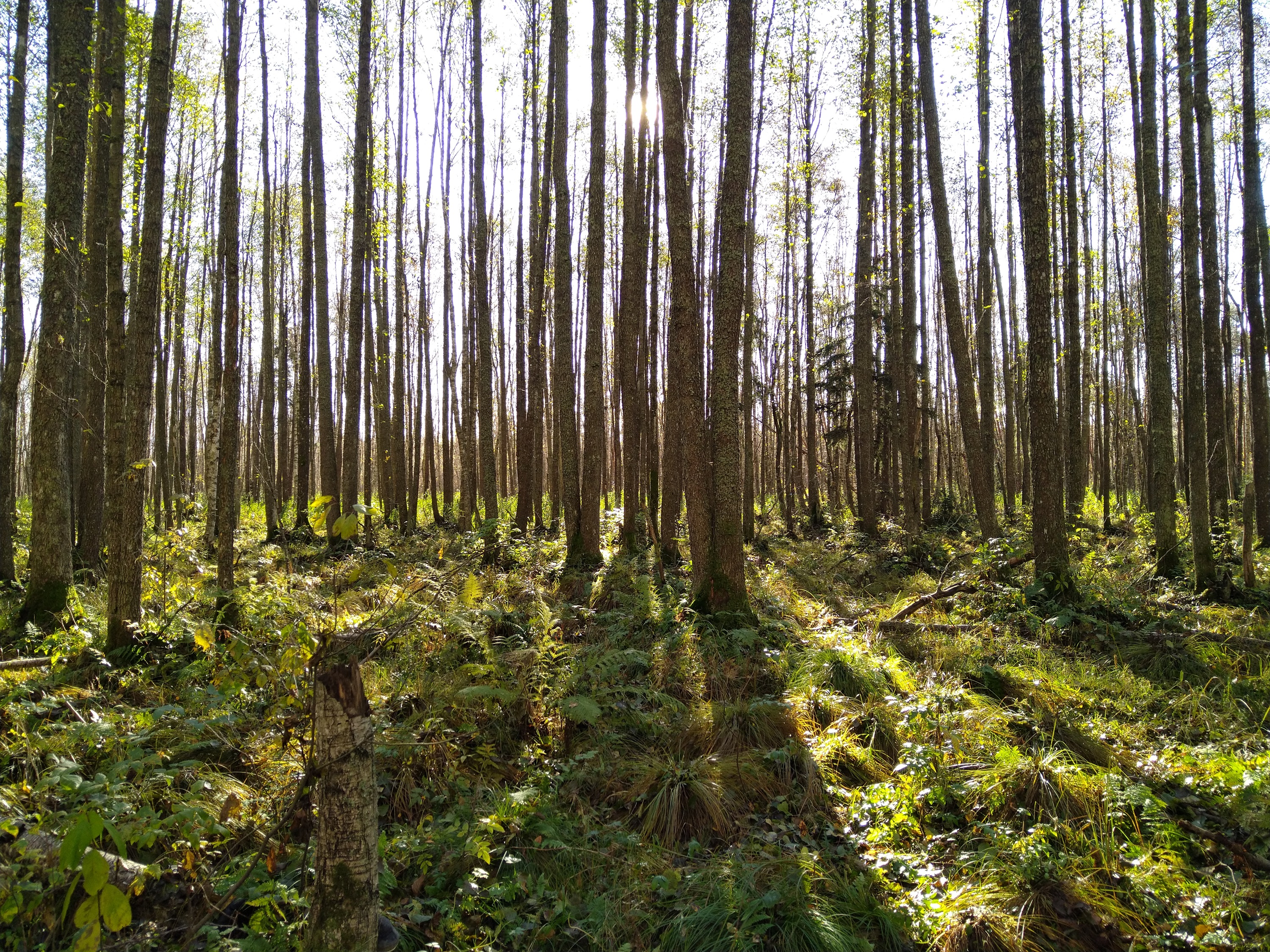
If you want a break from the hustle and bustle of the city, head to the beautiful, untouched nature of the Selli-Sillaotsa educational trail. Trail is located in the Alam-Pedja nature reserve, 30 minutes by car from Tartu.
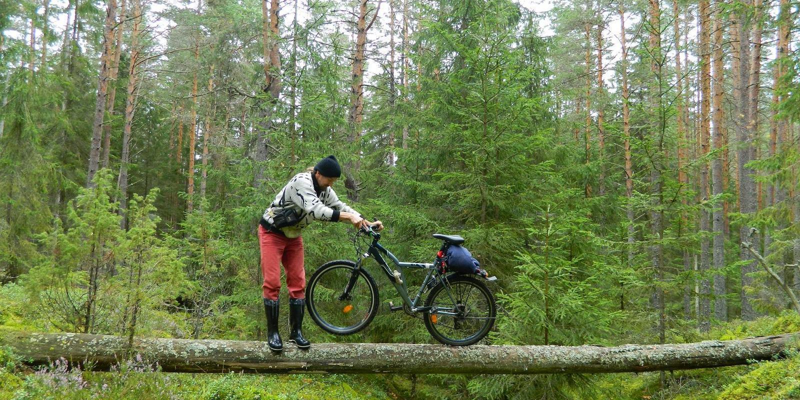
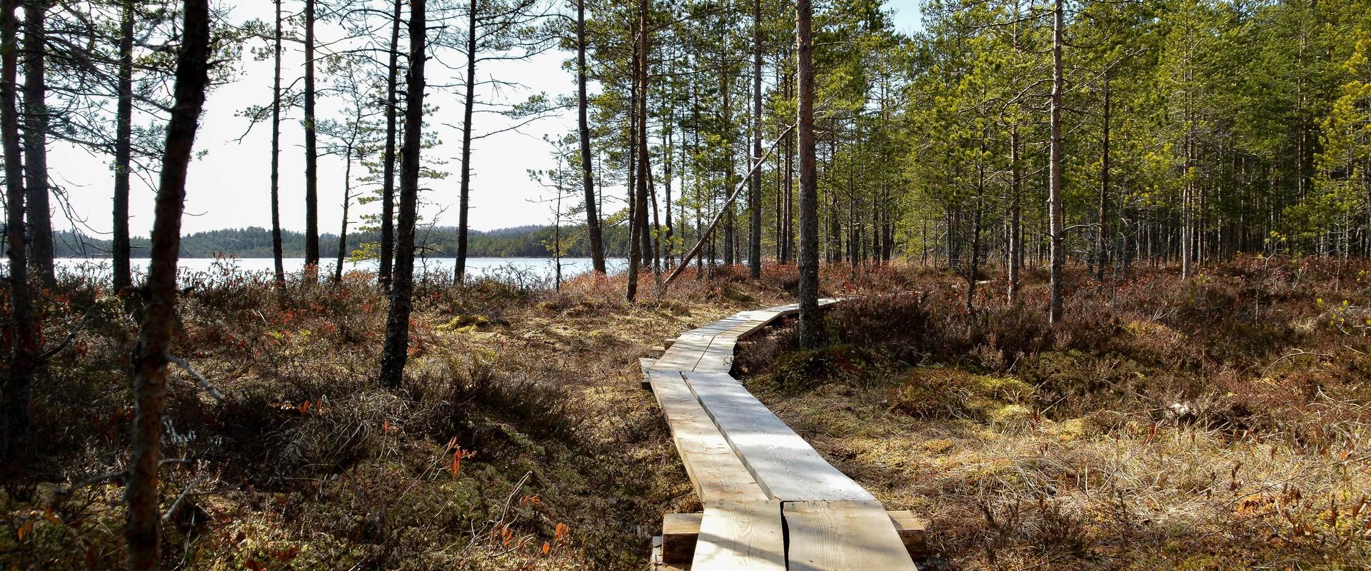
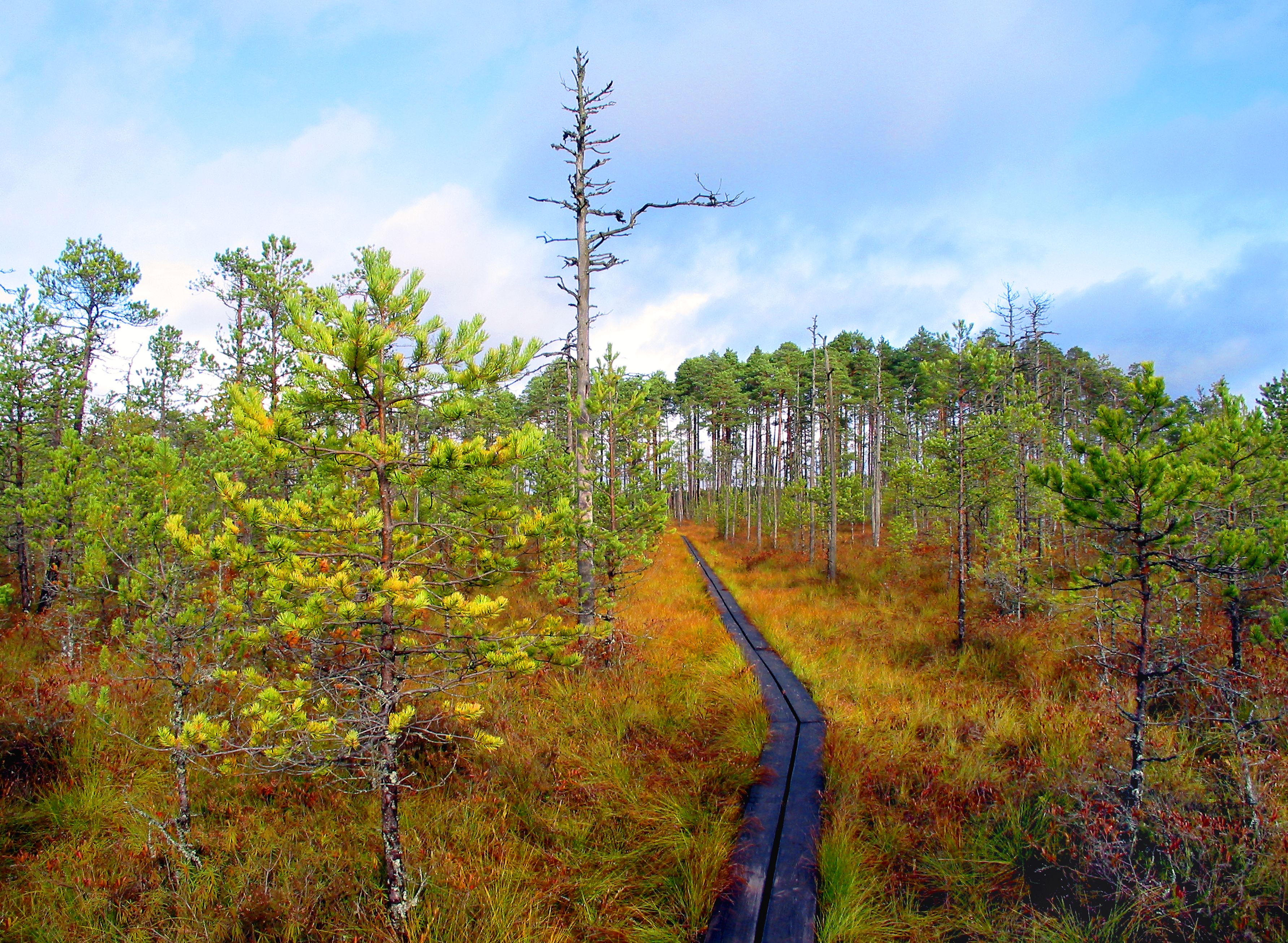
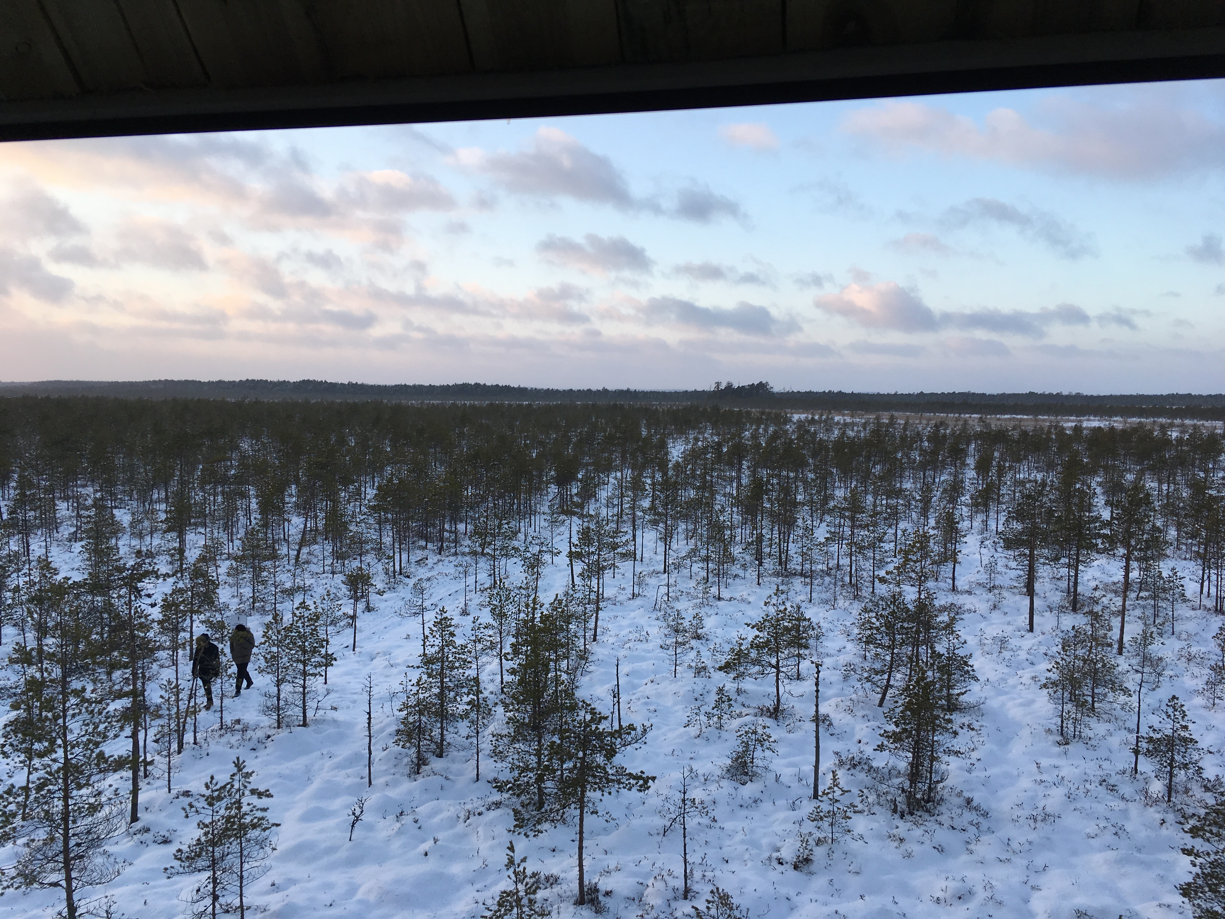
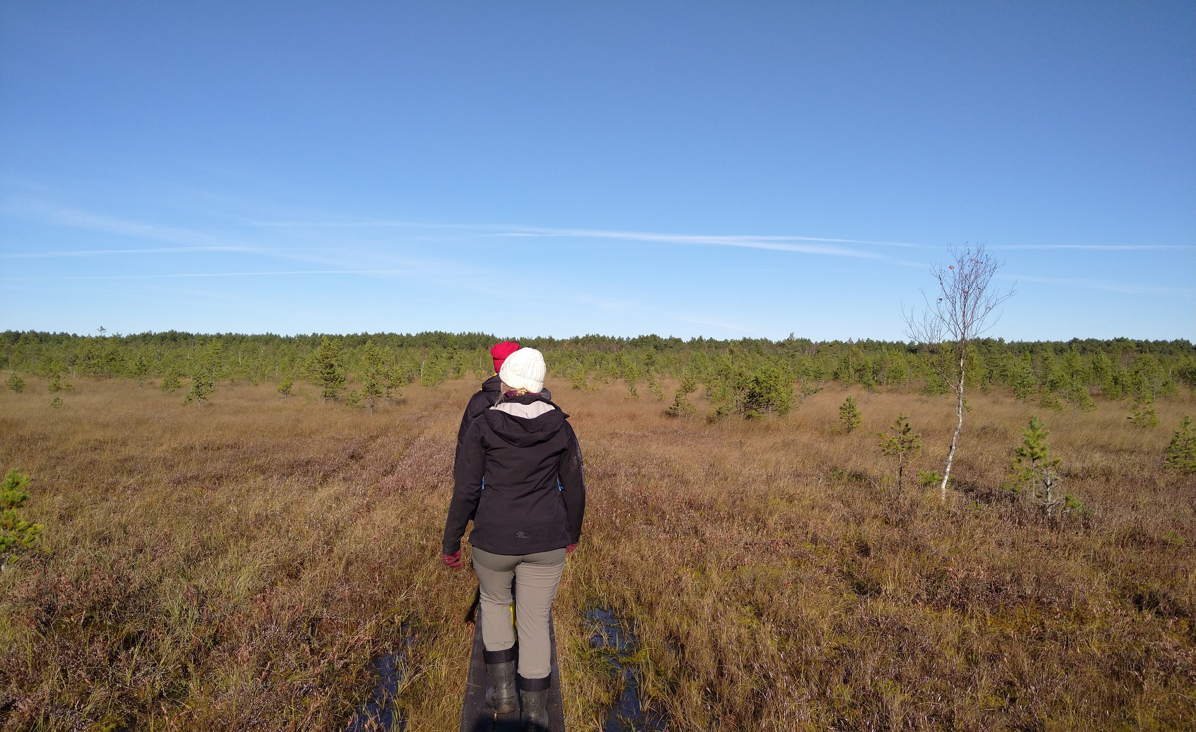
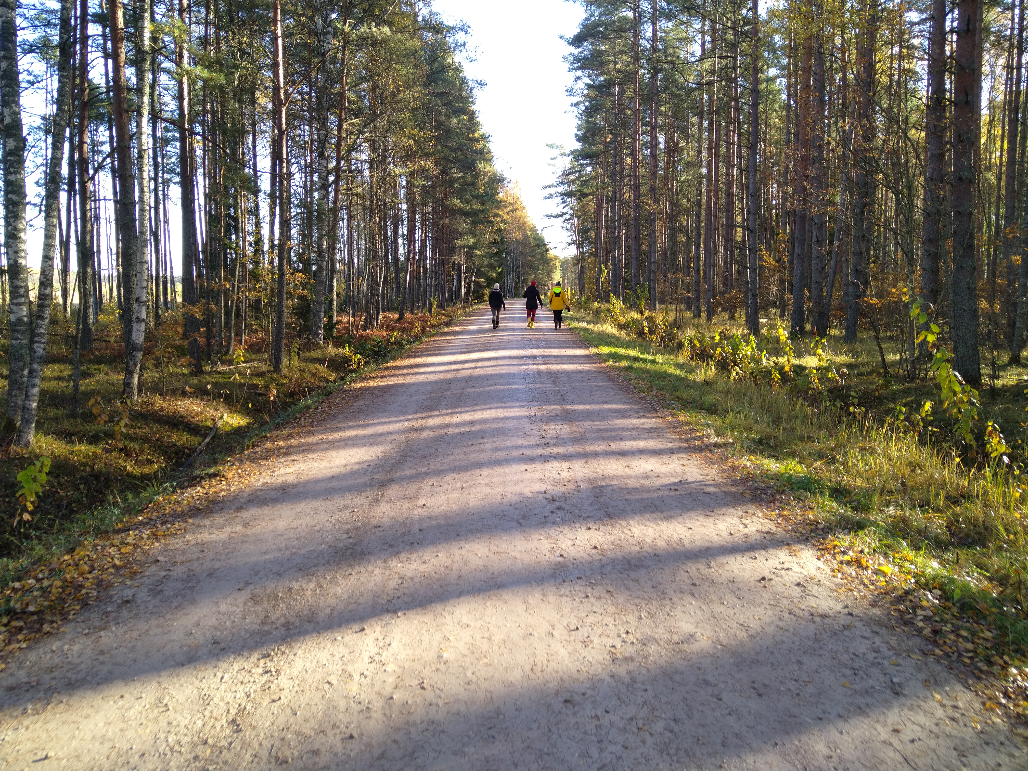
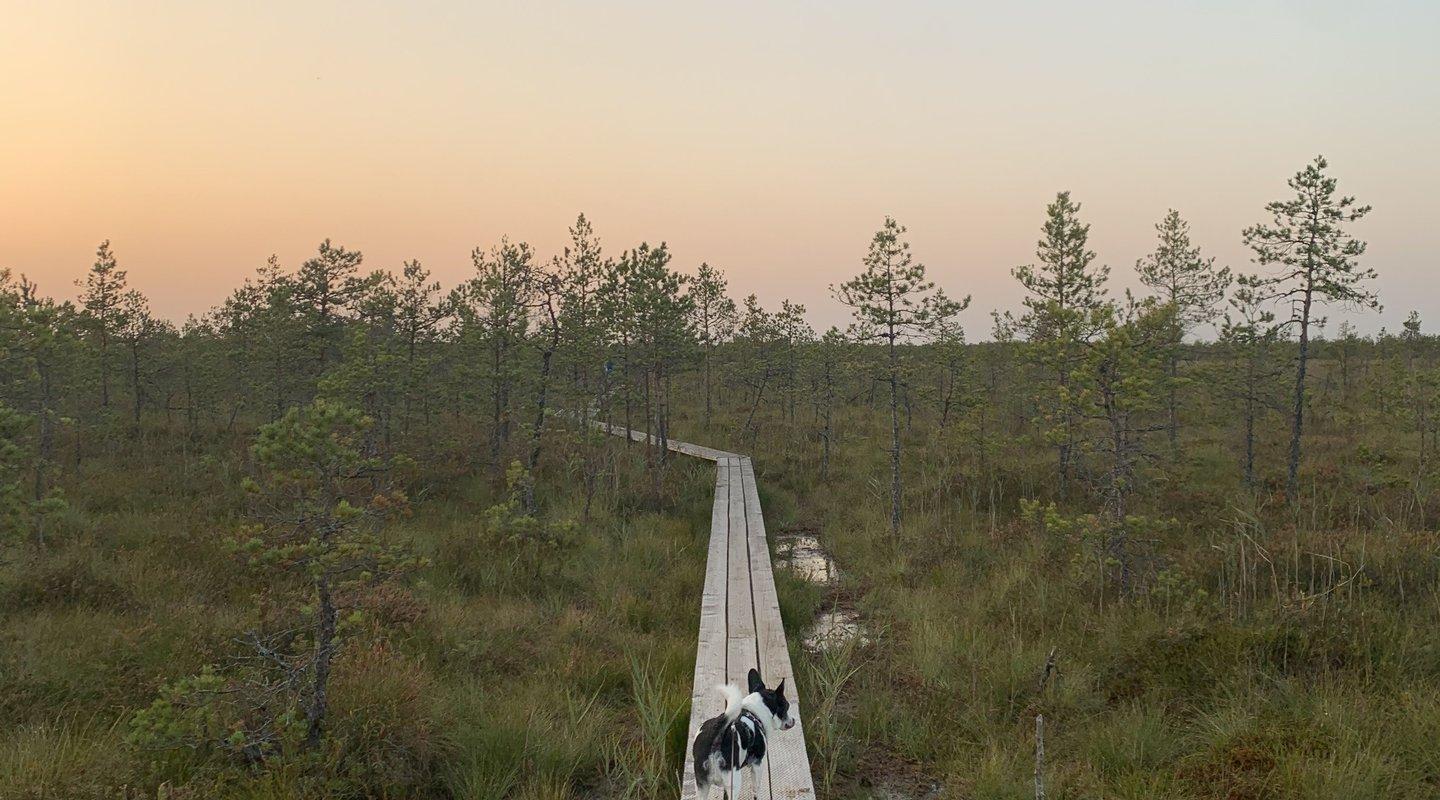
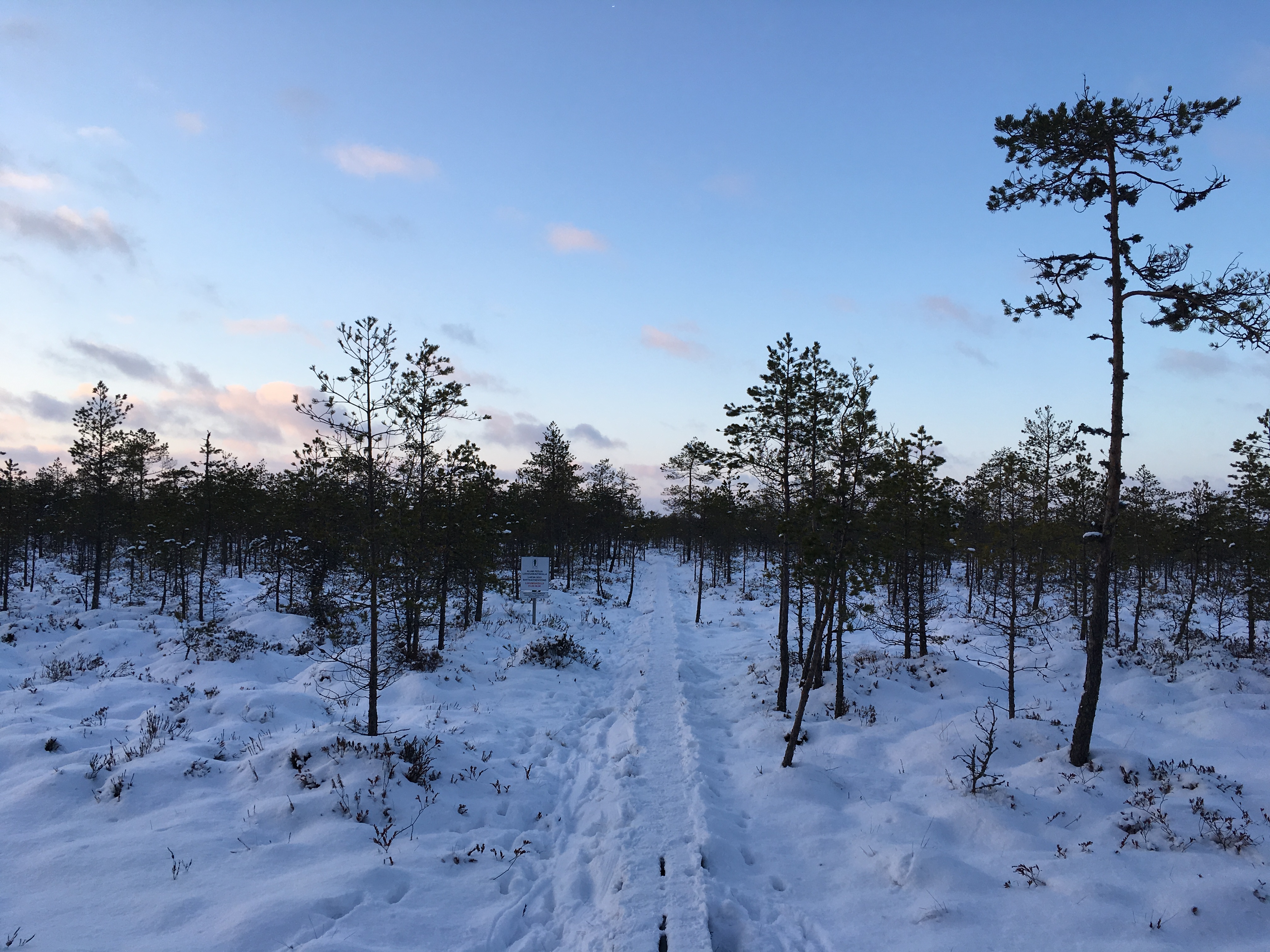
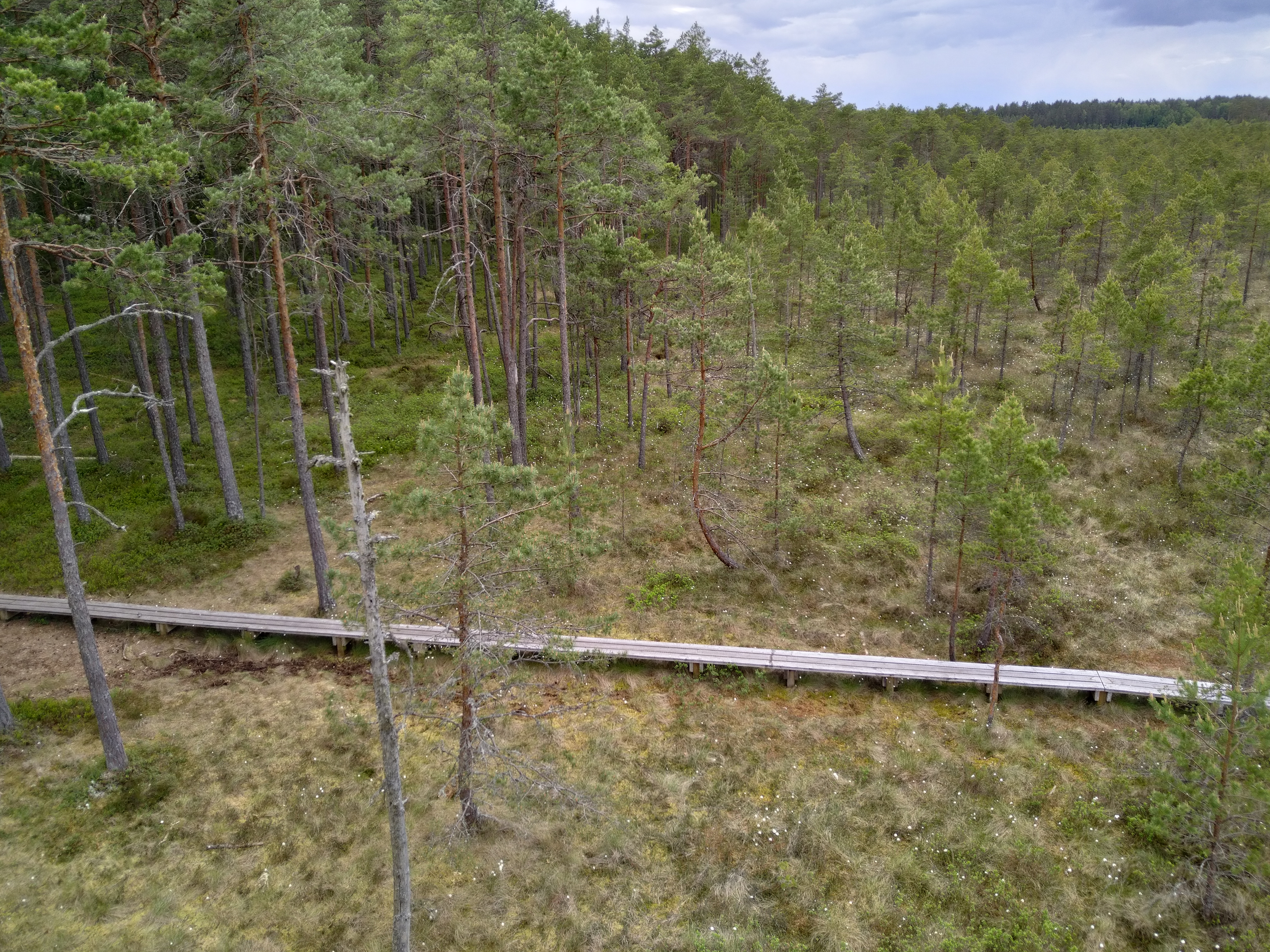
The well-marked trail, winding over a bog, through the forest, and on a gravel road, with plenty of information boards, is flat and easy to navigate. From the 12 m high Suuretüki observation tower built of massive logs, you can enjoy beautiful views of the bog in any season!
If you find yourself on the trail at the right time of year, you can treat yourself to edible berries, such as blueberries, blackberries, and cranberries.

Amenities

  • Information boards
  • Drop Toilet
  • Free parking

Open times

Throughout the Year

Around the Clock

Contact

  • +372 676 7122
  • info.kiidjarve@rmk.ee

Links

rmk.ee

See more

  • Hiking Trails

Taevaskoja–Otteni–Taevaskoja hiking trail

The hiking trail, which starts from Suur Taevaskoda, runs on the high banks of the Ahja River and on the tracks of the menu film The Last Relic. Suur Taevaskoda, the partially preserved Otten or Valgesoo watermill complex, the two-vaulted Otten mill bridge, and the miniature canyon, which became famous thanks to the film The Last Relic, picturesque views of the Ahja River, and a pit of a forest brothers' bunker can be seen on the hiking trail. The trail is marked with green colour on the trees and signs and there are several information boards on the trail. It is possible to camp and make a campfire at the Otten campfire site. When coming by car, the hike starts from Saesaare car park and therefore, the trail is about 2 km longer.

  • Hiking Trails

Murrumetsa Hiking Trail

Murrumetsa Hiking Trail starts from the Pühajärve Manor Park and runs through Murrumetsa forest back to the park. It takes about 1-1.5 hours to pass the 3.5 km track. There are information boards next to the track that give information about the flora and fauna of our forests and cultivated landscapes. The track passes the ancient Pühajärv War Oak (circumference 6.98 m and height 22 m) and the commemorative stone to mark the Pühajärv War of 1841, which can be found among the oaks of Murrumets Forest. There are also rest areas and fire sites by the trail.

  • Lookout towers
  • Hiking Trails

Väike Munamägi Hill

Climbing to the top of Munamägi Hill is worth the effort – the view covers more than 50 km. The absolute height of Väike or Otepää Munamägi Hill is 207.5 m (relative height exceeds 80 m). There is a spring on the north-eastern slope of Väike Munamägi (in the direction of Otepää) that has been considered the start of the Väike Emajõgi River for a long time. The boulder on the edge of the first plain is the biggest in the area – 250,000 kg. Take a look at the aerial panorama (picture by Joel Tammet).

  • Hiking Trails

Kirna hiking trail

Kirna’s 6.8 km study trail provides a good opportunity to explore the Pedja River meadows and forest. To gain a better view of the meadows and river, the Altmetsa Farm has an observation tower. A suspension bridge helps to cross the river. On the right bank of the Pedja River, you will find the magnificent oak tree Musutamm. The trails of wild boars and beavers can also be seen on the study trail.While on the trail, you might hear gunfire as the Kirna Training Centre of the Defence League is close by. The access roads to the meadows intersect the study trail in several places, please carefully follow the trail marking!

  • Hiking Trails
  • Family friendly
  • Lookout towers

Ööbikuorg valley and Rõuge lakes

The Rõuge primeval valley, which is 10km long and 52m deep, contains seven lakes: Kahrila Lake, Tõugjärv, Ratasjärv, Kaussjärv, Rõuge Suurjärv, Liinjärv, and Valgjärv. The lakes are connected by the Rõuge or Ajo River, which starts from the Tindi valley. The side valleys of the Rõuge primeval valley are Tindi, Külm, Mõhk, Ööbikuorg, Tinopeetri, Hinni, Sikasoo, and Järveotsa valleys. The most famous of these is Ööbikuorg, which borders the ancient hillfort from the north. In spring, during the blossoming of bird cherry trees, the valley resonates with the song of nightingales – hence the name of the valley. Several hiking trails run through Rõuge, including the popular Ööbikuorg hiking trail, which takes visitors through the primeval valley, past lakes and springs. The trail is suitable for families with children and is partially accessible by bicycle. In summer, you can swim and paddle in the lakes, while in winter, the same trails are enjoyed by skiers and sledders. In the Rõuge settlement, there is also Estonia's deepest lake – Rõuge Suurjärv (38m) – and the largest Nature Clock in Estonia, whose hands mark the passage of time in nature's rhythm.Good to know: At the edge of Ööbikuorg, there is a visitor center and the Pesapuu observation tower, which offers a view of the entire valley.

  • Camping sites
  • Hiking Trails

Piusa River valley hiking trail

The total length of the hiking trail in the primeval valley of the Piusa River is 15 km from the ruins of the Vastseliina Episcopal Castle to Lindora or vice versa. You can take the trail on foot, but parts of it are also passable either by bike or car. The highlights of the reserve are the tall Devonian sandstone outcrops – the tallest of them is the wall of Härma Mäemine or the Keldre Wall (total height 43 m, length 150 m). There are two camping sites – under the Make Wall on the first third of the trail and under the Härma Lower Wall towards the end of the trail.The object is not lighted, which is why we recommend to visit it during the day.

  • Hiking Trails

Hiking trails at Lake Kirikumäe

Kirikumäe's 3.2-km-long hiking trail winds around the lake of the same name, which is known as the best swimming area in the region. There is a bog on the southern shore of the lake and the hiking trail also runs across the bog. For this purpose, a boardwalk has been built there. In any case, however, you must be prepared to get your feet wet here and there. There are information boards, campfires, and forest trails on the track.

  • Hiking Trails

Helme caves

Located in the manor park of the same name, the Helme caves, are an unrivalled sight in Estonia. Situated to the north of castle ruins, the caves have a white Burtniek layer of sandstone walls standing 3 m high. Unfortunately for cave lovers though, some of the better known caves have already collapsed. Once comprised of seven interlinked chambers, the biggest of which was known as the Church of Moses. Peppered with springs, the caves have a long history; and over the years they have been dug out and used as shelters when needed. Did you know...?: In ancient times the Helme caves were also known locally as the gateway to Hell.Kivialune (under the rocks) was a shelter for Old Estonians during the wars.

  • Collaboration
  • News
  • Contacts
  • Privacy Policy
Join our mailing list!

"*" indicates required fields

This field is for validation purposes and should be left unchanged.
I authorise marketing

Southern Estonian Tourism Cluster

info@visitsouthestonia.com