• Explore
    • Nature
    • Culture
    • Food
    • Family
    • Activity
    • Blog
  • Plan
    • Tourist info
    • Accommodation
  • For professionals
    • For professionals
    • Collaboration
    • News
    • Projects
    • Training
    • Repository
    • Community (opens in new tab)
    • Contacts
ENG
  • EnglishENG
  • EestiEST
  • LatviešuLAT
  • РусскийRUS
  • SuomiFIN
ENG
  • EnglishENG
  • EestiEST
  • LatviešuLAT
  • РусскийRUS
  • SuomiFIN
Popular searches:
Show all
  • Nature and Activities
  • Nature
  • Hiking Trails

Mustjärve hiking trail

Elva vald, Tartu maakond, 61117

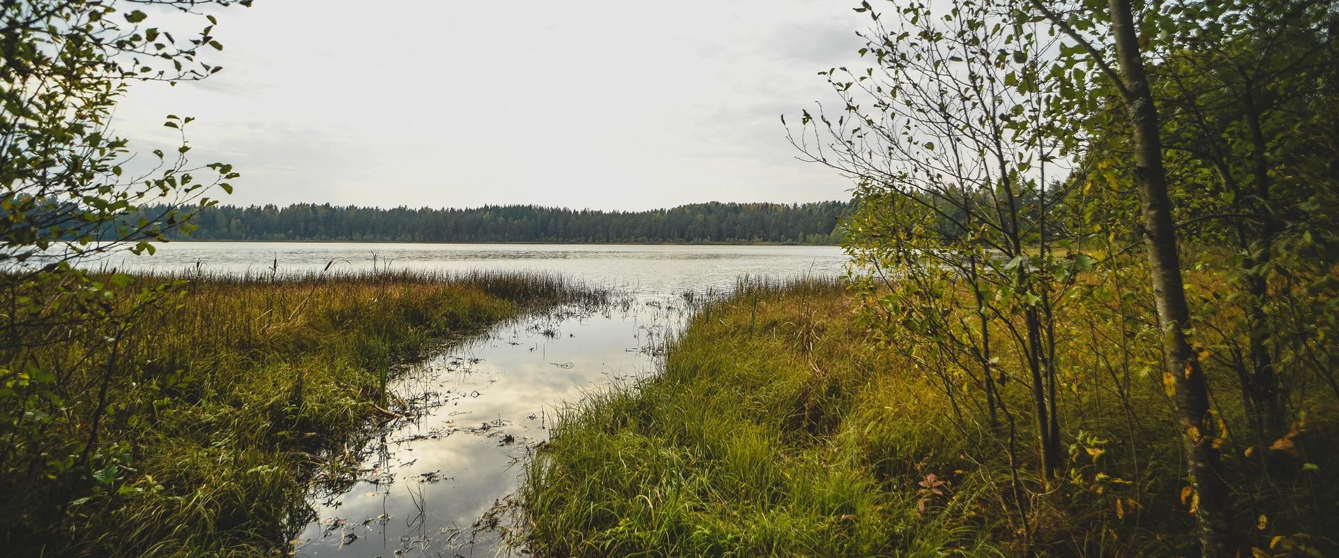
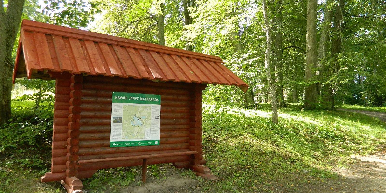
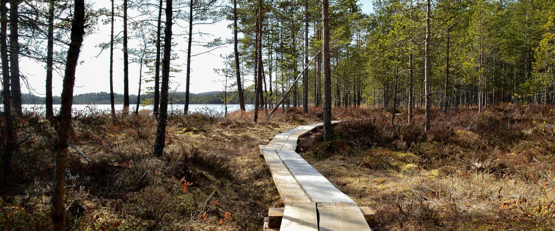
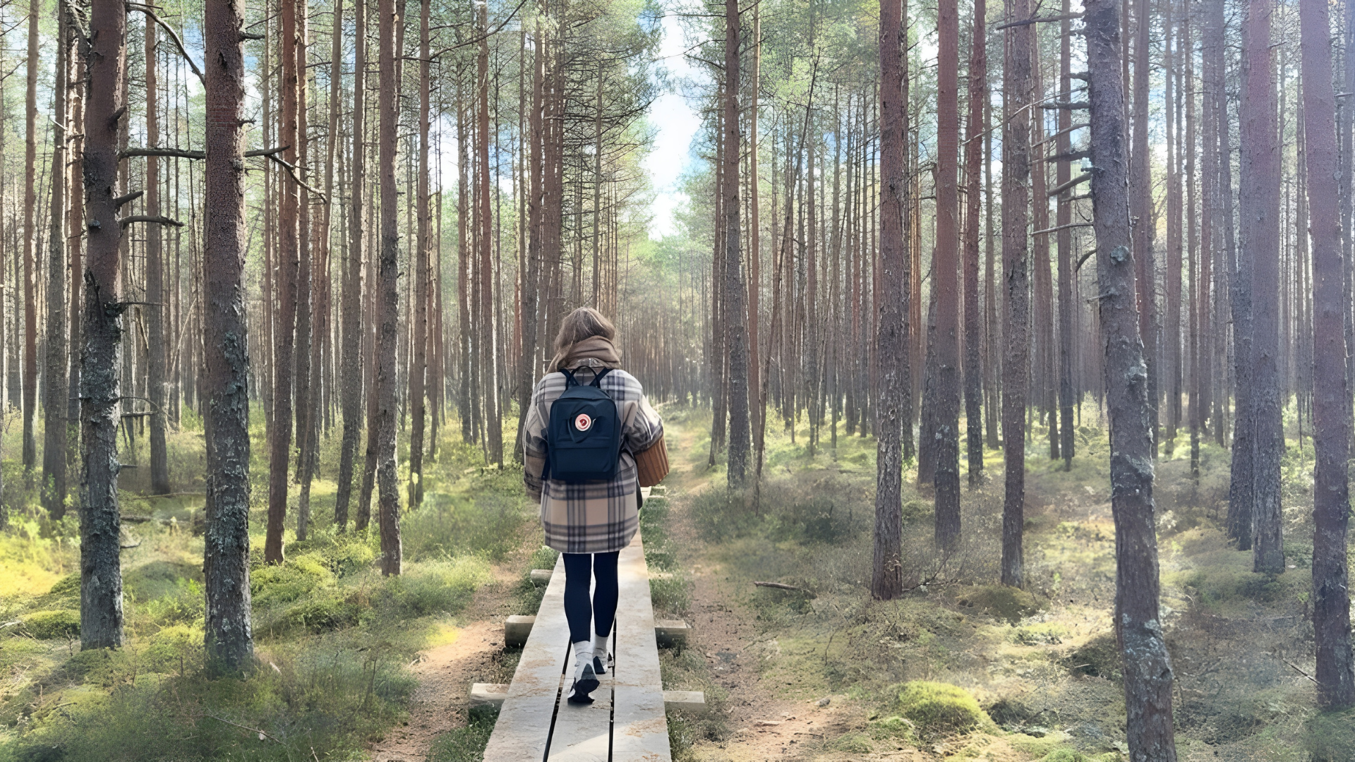
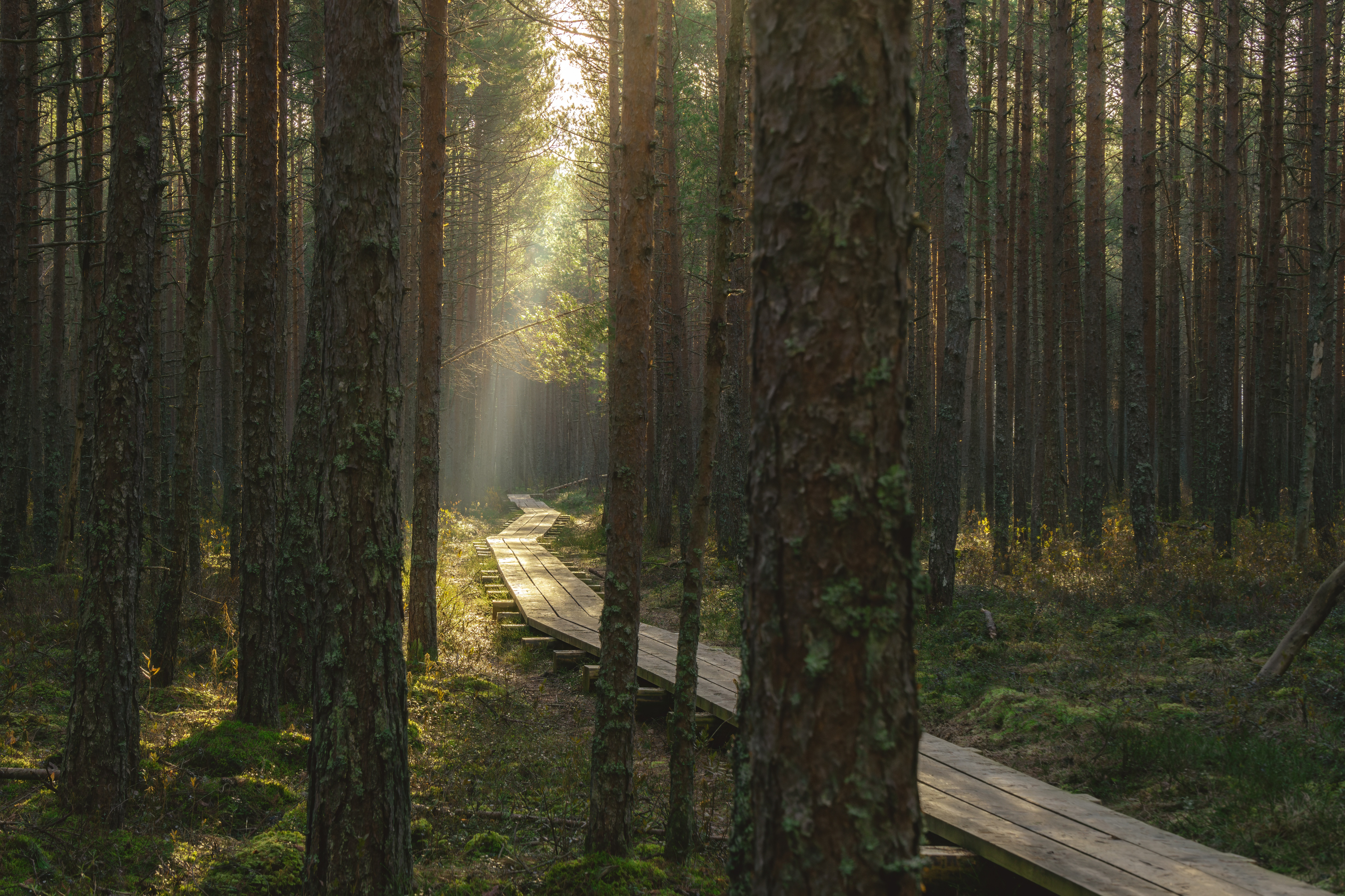
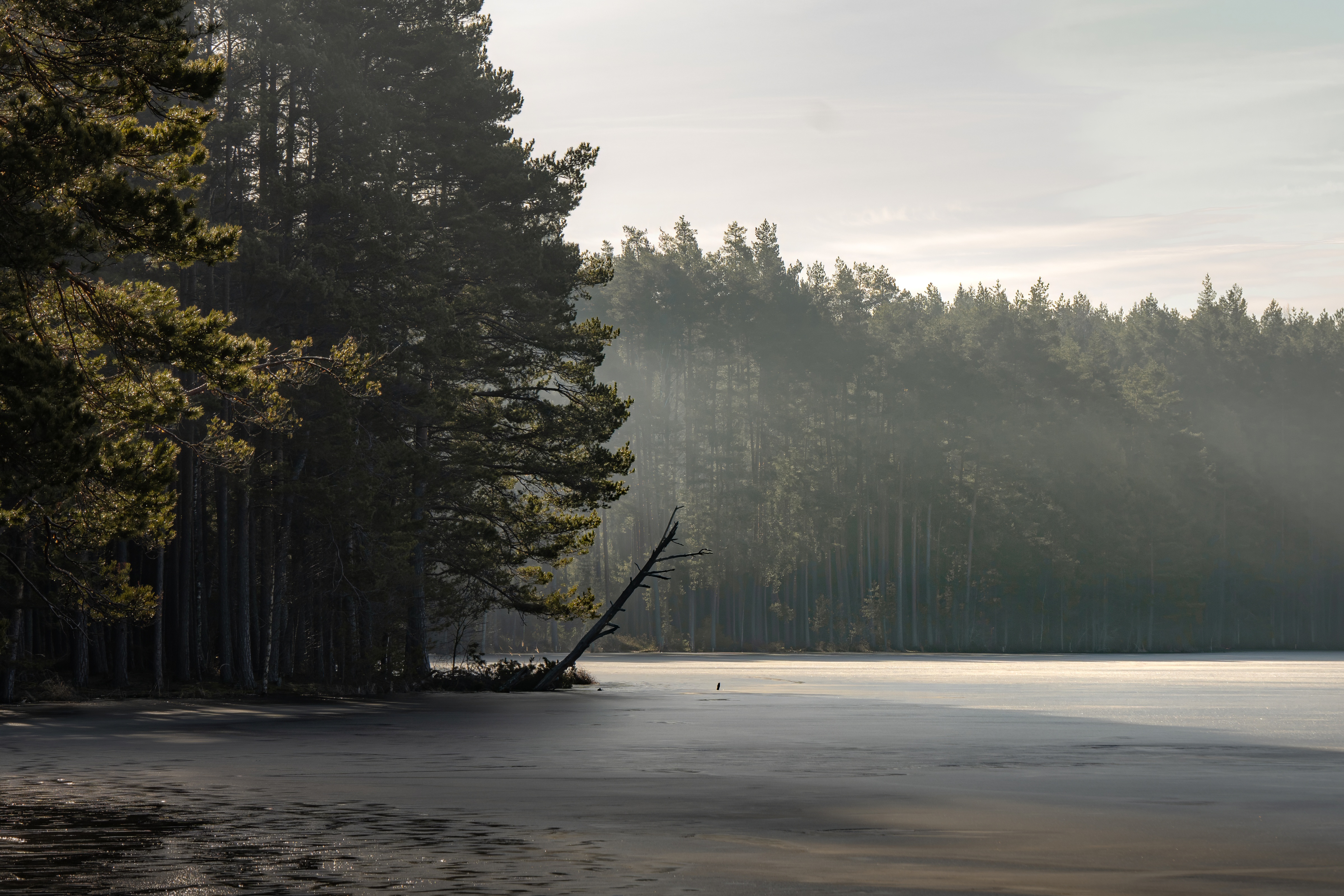
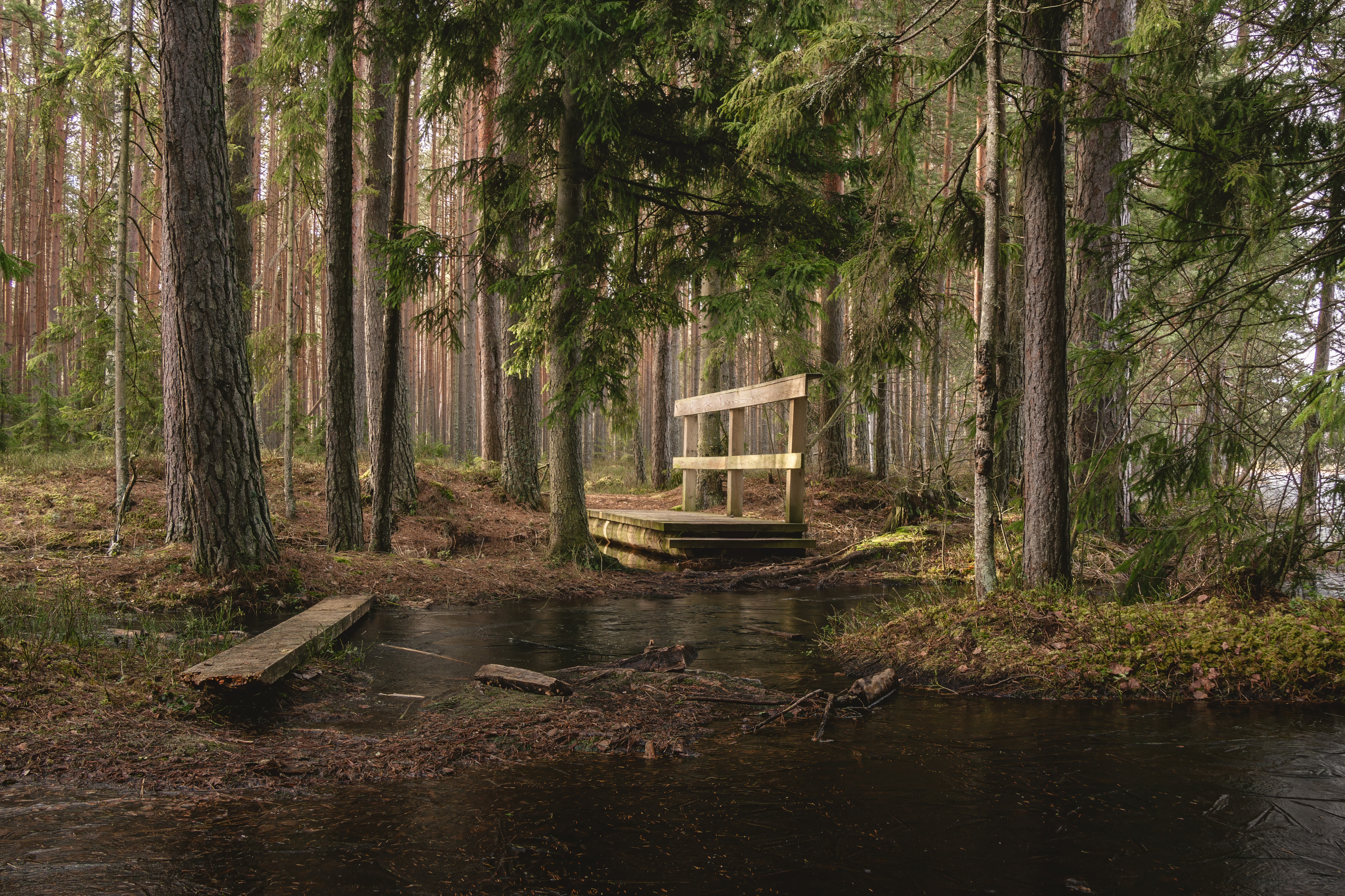
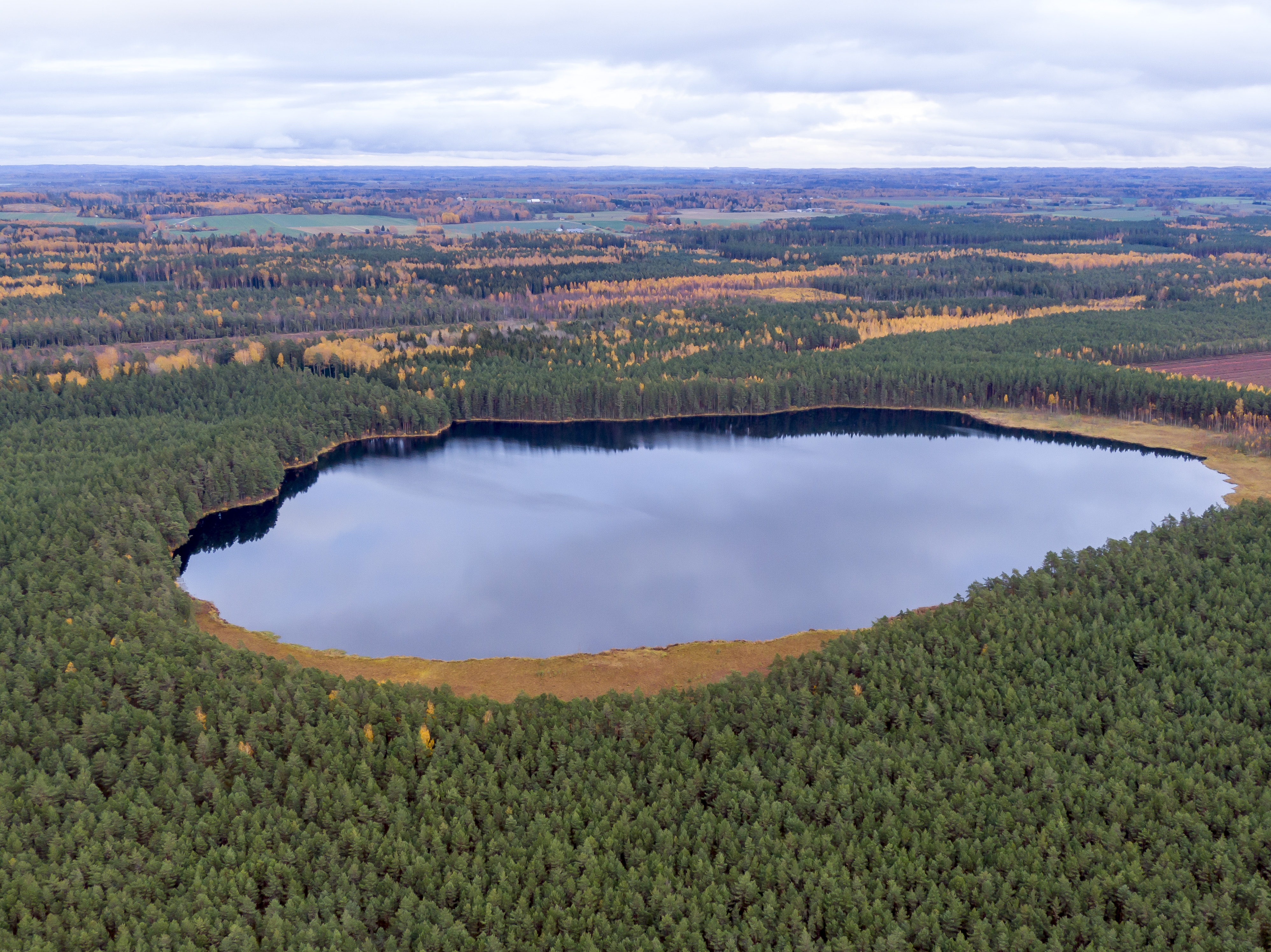
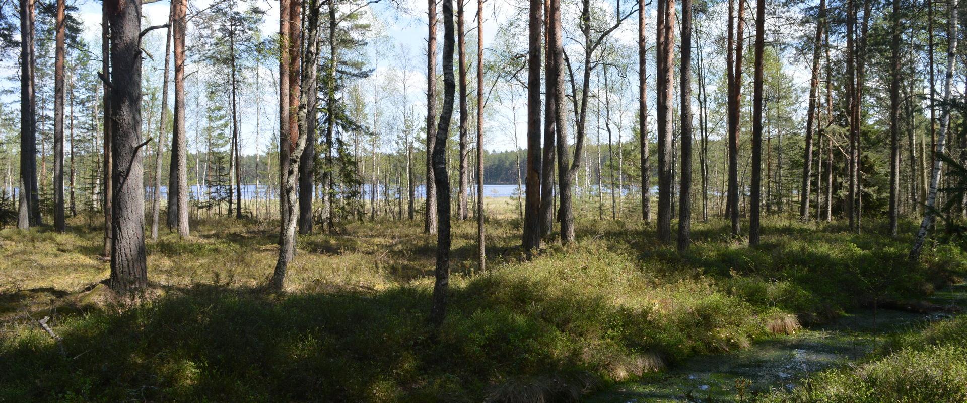
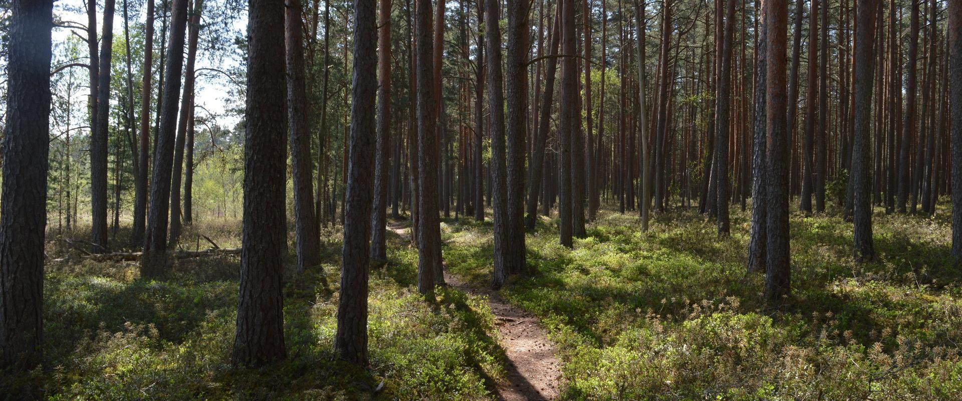
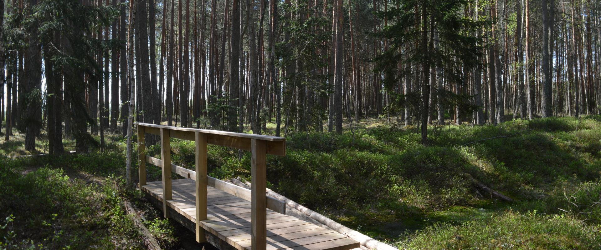
A beautiful bog lake hides in the shade of a pine forest in the northern part of the Lulli bog next to Lake Võrtsjärv. The natural lake is large (23 ha) and very shallow (there is only a metre of water here).The hiking trail starts at the information stand in the car park. Further on, the boardwalk leads directly to the water, which offers scenic views of the lake and the surrounding bog landscape. The short hiking trail (2.3 km) runs around the lake. It is impossible to get lost here, because the trail is circular and everyone finally gets back to the starting point.In the second half of the summer, cloudberries, blueberries, cranberries, and mushrooms can be picked from the surroundings.

Amenities

  • Information boards

Open times

Throughout the Year

Around the Clock

Contact

  • +372 524 2702
  • turism@elva.ee

Links

visitelva.com

See more

  • Camping sites
  • Hiking Trails

Kisejärve hiking trail

Kisejärve hiking trail is 6 km long and runs along former horse roads and swamp borders (rubber boots are recommended). The hiking trails takes you past several lakes, valuable nature and bog communities and you can also see the results of the activities of beavers.

  • Camping sites
  • Hiking Trails

Lake Kavadi hiking trail

The 2.2 km hiking trail in Kavadi runs along the banks of Lake Kavadi. The hiking trail begins and ends in New-Salus Park, which has a resting place, campfires with barbecue grilles and a campsite. The trail with the direction of travel winds both along the shore lane and under the forest. Lake Kavadi is considered the most articulated shore-lined lake in Estonia. The surface area of the lake is 27.4 ha. The current size and look have been acquired by the lake some 140 years ago when Baron C. FR. von Maydell, who bought the New-Salus mansion, swelled up three small swamp lakes.

  • Hiking Trails

Rebäse landscape trail

The 7-kilometre-long Rebäse landscape trail is located in the Karula National Park. The trail runs through old farm landscapes, passing the oldest farmstead in the area and the Linnamägi hill with traces of settlement from the Early Iron Age. Hikers can climb up the local "Mount Ararat", see Lake Raudjärv with its ice-cold water, and admire one of the largest gullies of Karula upland.You may need sturdy boots to pass the trail because in rainy weather the trail might be muddy and the boardwalk slippery. The trail also passes pastures, so you might encounter curious but generally friendly cows. Be careful around farm fences, they may be electric!

  • Hiking Trails

Hiking trails at Lake Kirikumäe

Kirikumäe's 3.2-km-long hiking trail winds around the lake of the same name, which is known as the best swimming area in the region. There is a bog on the southern shore of the lake and the hiking trail also runs across the bog. For this purpose, a boardwalk has been built there. In any case, however, you must be prepared to get your feet wet here and there. There are information boards, campfires, and forest trails on the track.

  • Hiking Trails

Pikalombi nature trails

The trails have two possible starting points: in the parking lot of the Värska Sanatoorium or in the point on the side of Värska Sanatoorium across Värska Bay. The Pikalombi nature trails are 3.8 and 9.1 km long. The nature trails can be passed in autumn, spring and winter and on foot as well as by bicycle. On the boarded trail through the Velna bog the bicycle shall be pushed by hand. Good to know: There are 11 trail points along the trail. Point no. 6 lies by beautiful Lake Saarepää, offering an opportunity to make a fire and to have a longer break.

  • Hiking Trails

Alatskivi Hiking Trail

The 4.5 km long trail around Lake Lossijärv with its varied terrain and beautiful views offers visitors plenty of excitement and sights at any time of year.The trail starts at Alatskivi or by the Bed of Kalevipoeg. Alatskivi Castle and Castle Park, Hirveaed Garden, Sheep Bridge, Bed of Kalevipoeg, Lake Veskijärv, and Lake Lossijärv are all along the trail. There are two large information boards on the trail, log stairs in the Bed of Kalevipoeg, two bridges, signs, and small information boards that introduce the objects found in the protected area.

  • Hiking Trails

Hinni canyon

Hinni Canyon is located in the special protection zone of Haanja Nature Park and is a unique canyon valley in all of Estonia. Hinni Canyon has cut into Devonian era sandstone. It is a 15-20 m deep and 300 m long ravine with steep slopes, at the bottom of which flows the fast-flowing Enni stream. When visiting Hinni Canyon, it is worth considering that here you can experience the true power of nature: the sandstone cuts through the landscape, deep in a transverse direction, the slopes rise around – this is a rare and visually impactful place in Estonia. The trail at the bottom of the valley runs alongside the stream. Enni stream flows quickly and adds the sound of water and fresh air to the adventure. Moreover, in the outcrops, you can notice indentations, smaller caves, and more secluded inner cuts, creating a mystical feeling. From a nature conservation standpoint, it is important that this place is located in the special protection zone.Good to know: there is no additional lighting at the site, so it is best visited during the day. Since Hinni Canyon is partially located on private land, walking with dogs is not allowed!

  • Hiking Trails

Helme caves

Located in the manor park of the same name, the Helme caves, are an unrivalled sight in Estonia. Situated to the north of castle ruins, the caves have a white Burtniek layer of sandstone walls standing 3 m high. Unfortunately for cave lovers though, some of the better known caves have already collapsed. Once comprised of seven interlinked chambers, the biggest of which was known as the Church of Moses. Peppered with springs, the caves have a long history; and over the years they have been dug out and used as shelters when needed. Did you know...?: In ancient times the Helme caves were also known locally as the gateway to Hell.Kivialune (under the rocks) was a shelter for Old Estonians during the wars.

  • Collaboration
  • News
  • Contacts
  • Privacy Policy
Join our mailing list!

"*" indicates required fields

This field is for validation purposes and should be left unchanged.
I authorise marketing

Southern Estonian Tourism Cluster

info@visitsouthestonia.com