• Explore
    • Nature
    • Culture
    • Food
    • Family
    • Activity
    • Blog
  • Plan
    • Tourist info
    • Accommodation
  • For professionals
    • For professionals
    • Collaboration
    • News
    • Projects
    • Training
    • Repository
    • Community (opens in new tab)
    • Contacts
ENG
  • EnglishENG
  • EestiEST
  • LatviešuLAT
  • РусскийRUS
  • SuomiFIN
ENG
  • EnglishENG
  • EestiEST
  • LatviešuLAT
  • РусскийRUS
  • SuomiFIN
Popular searches:
Show all
  • Nature and Activities
  • Nature
  • Hiking Trails

Alatskivi Hiking Trail

Peipsiääre vald, Tartu maakond, 60201

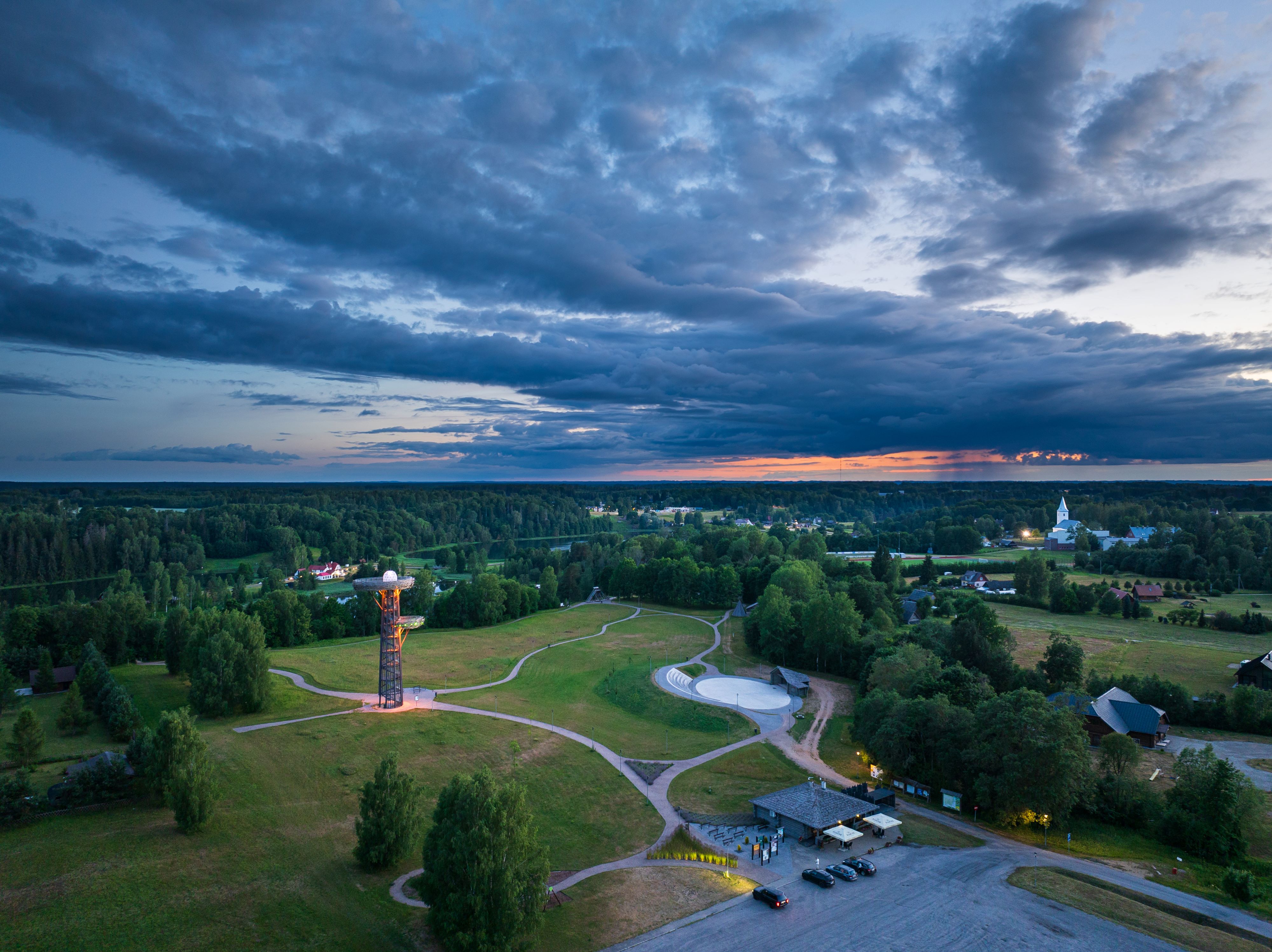
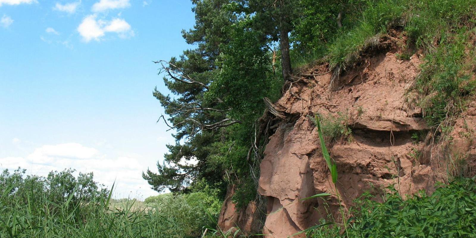
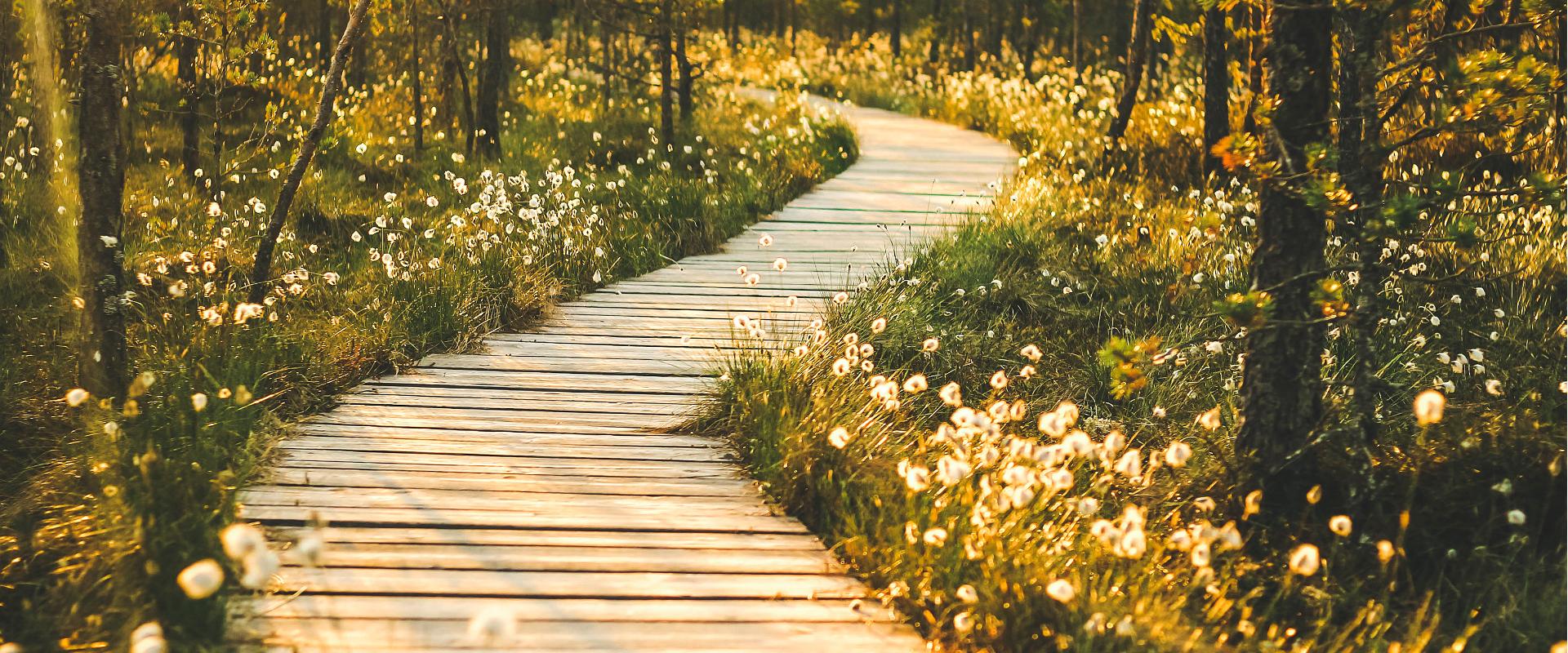
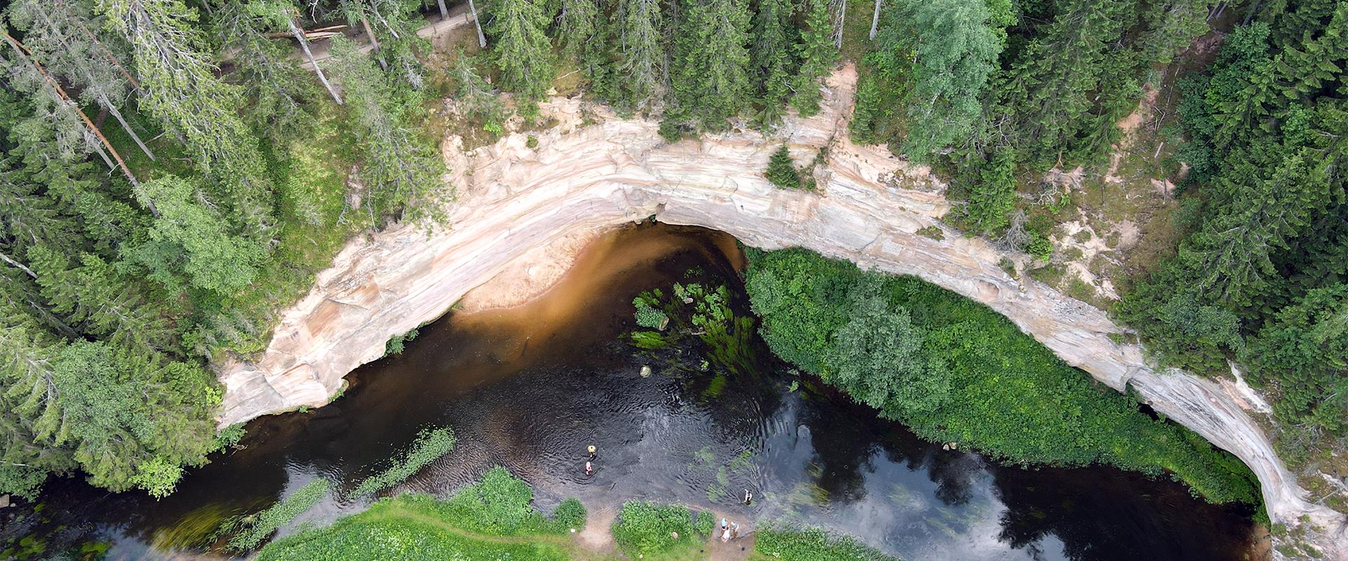
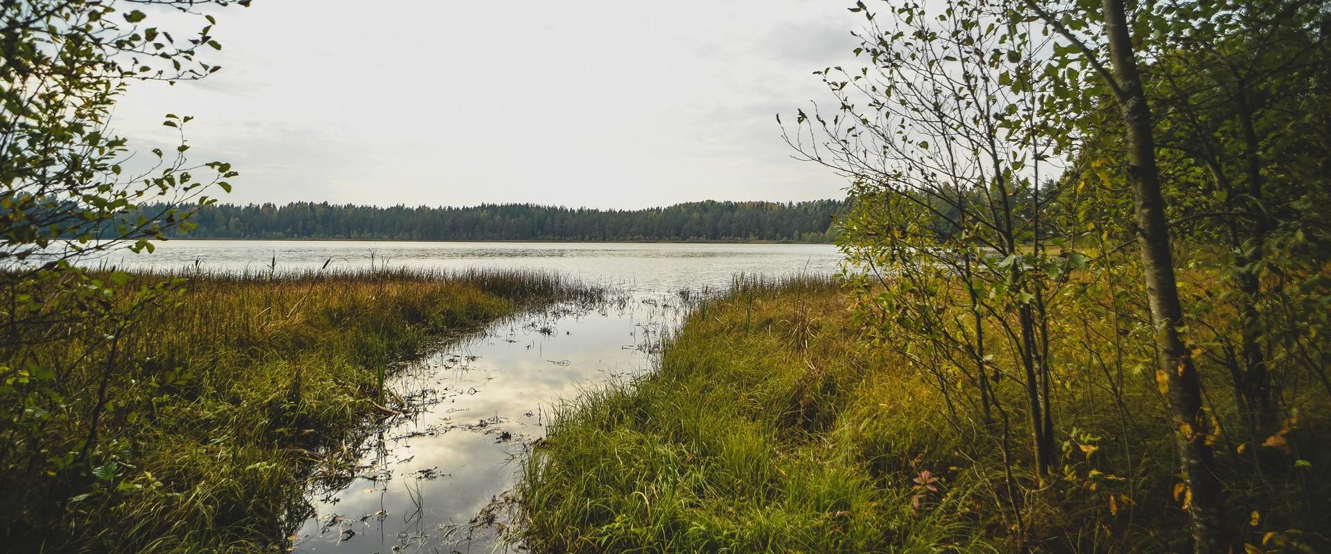
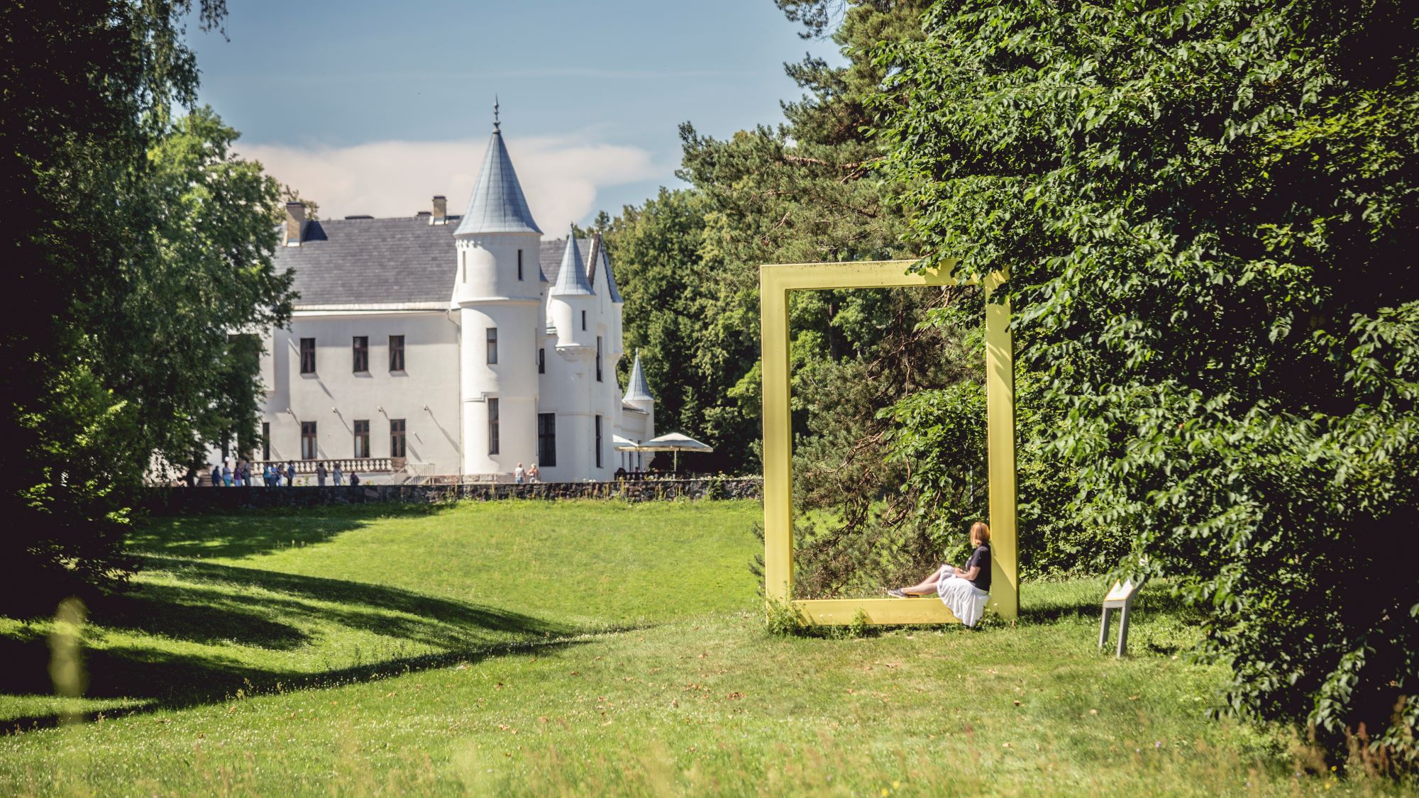
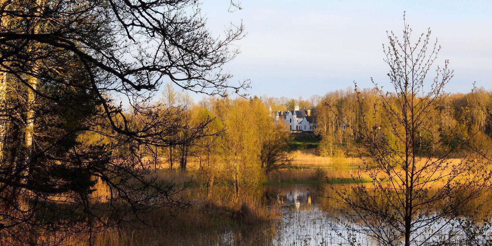
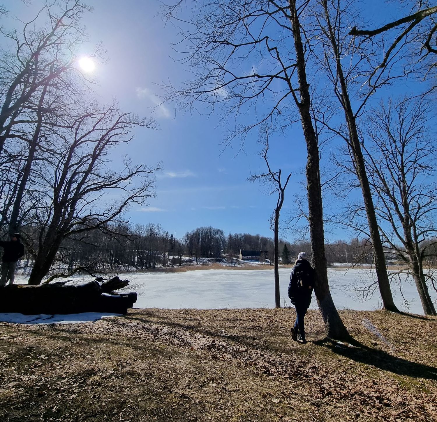
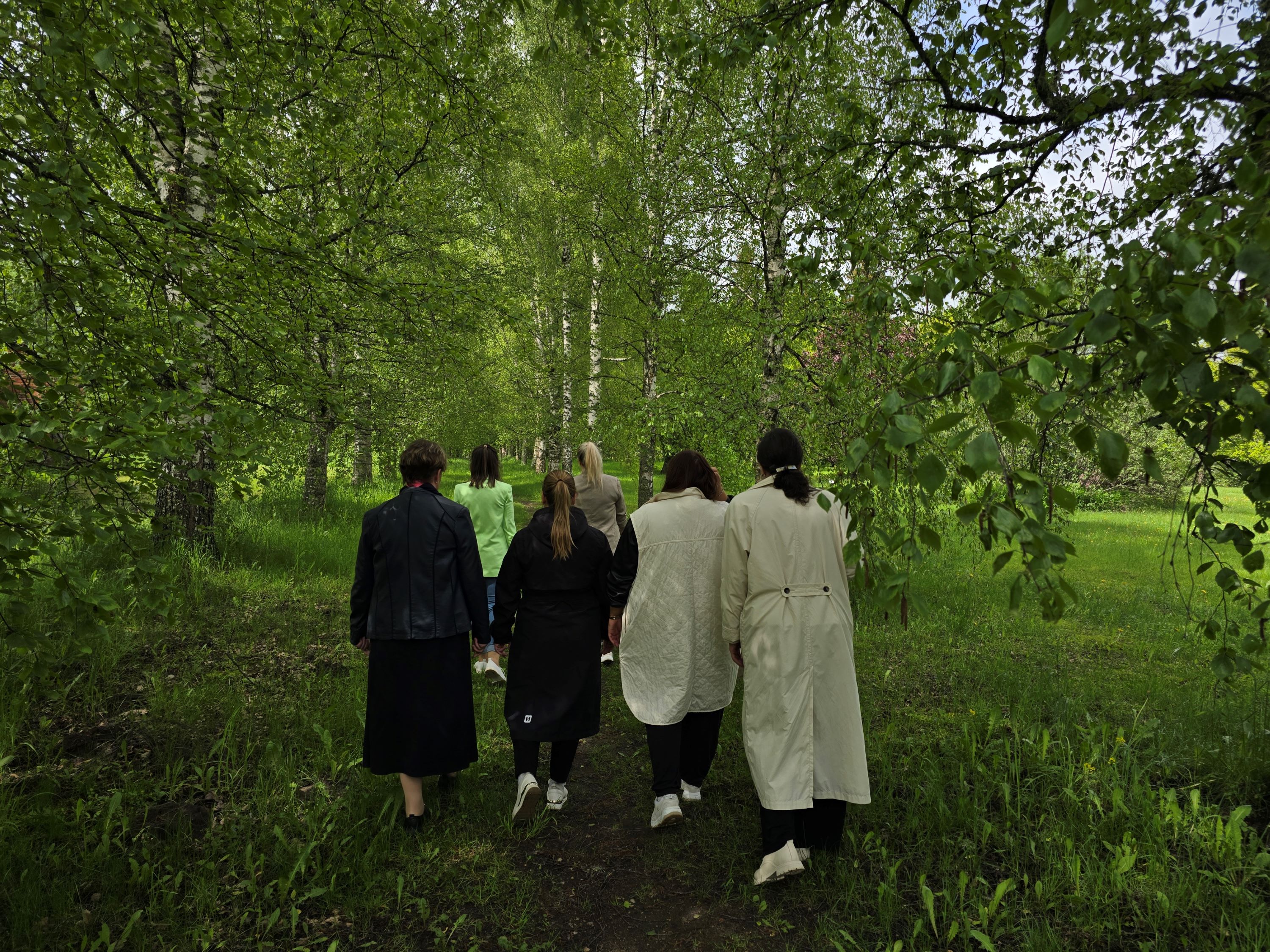
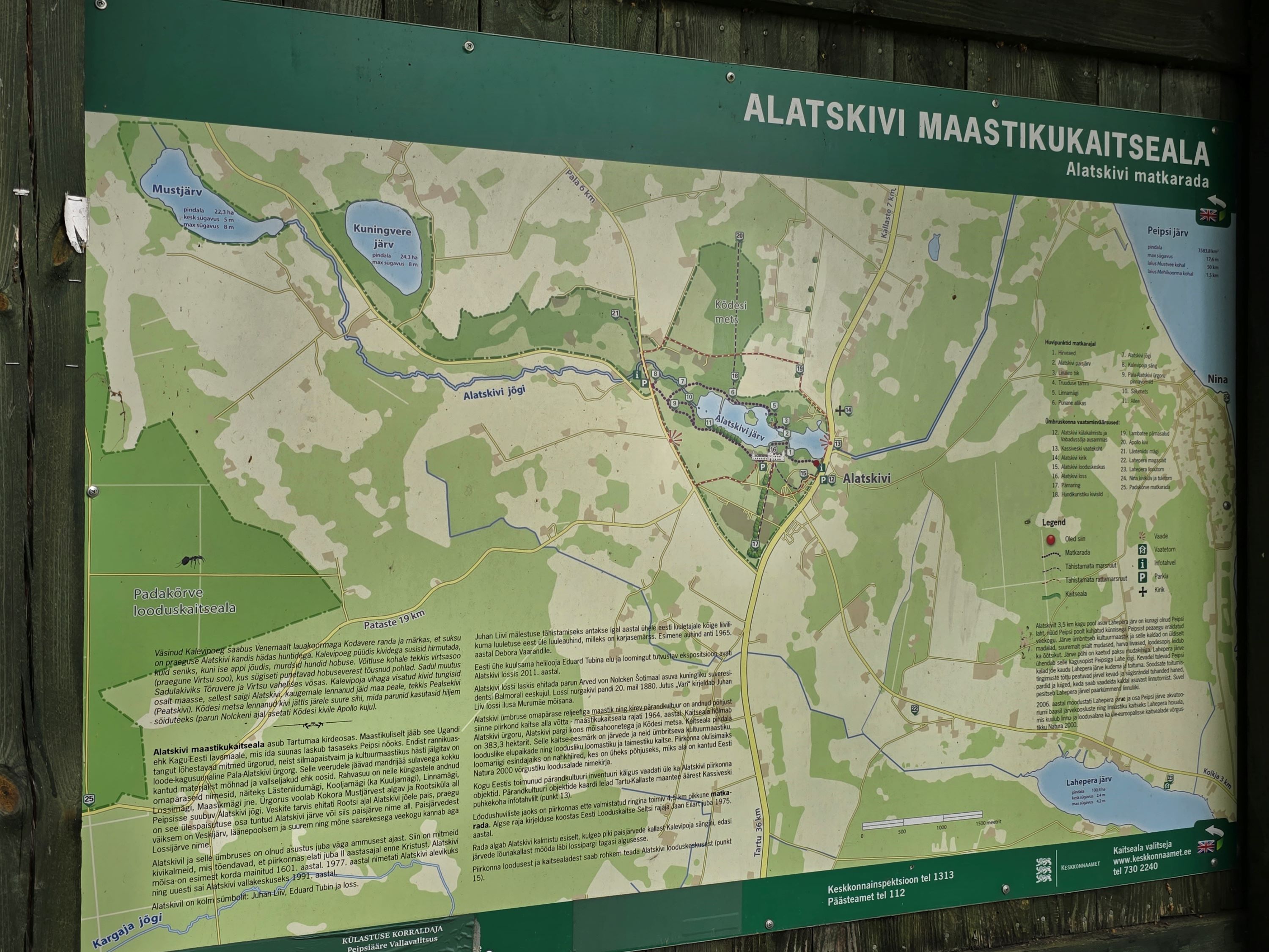
The 4.5 km long trail around Lake Lossijärv with its varied terrain and beautiful views offers visitors plenty of excitement and sights at any time of year.The trail starts at Alatskivi or by the Bed of Kalevipoeg. Alatskivi Castle and Castle Park, Hirveaed Garden, Sheep Bridge, Bed of Kalevipoeg, Lake Veskijärv, and Lake Lossijärv are all along the trail.
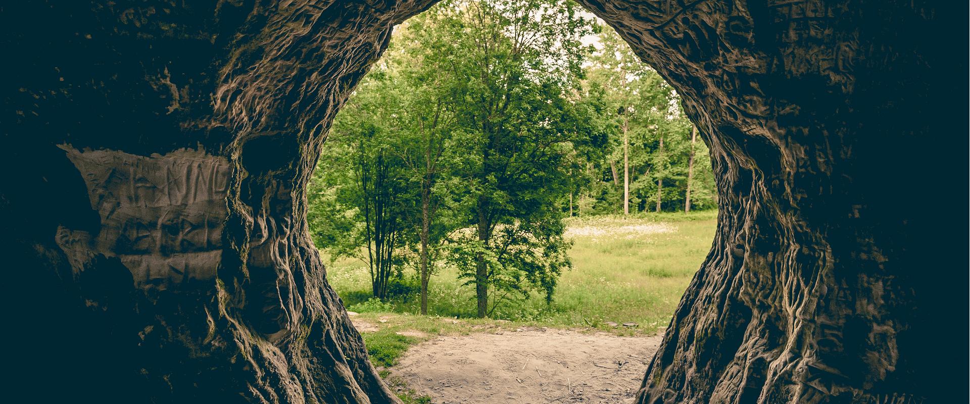
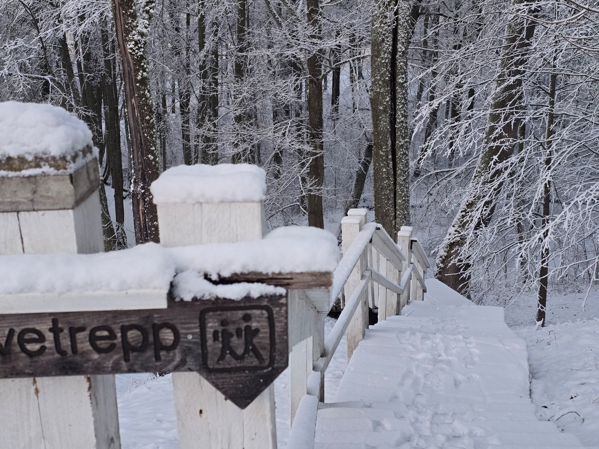
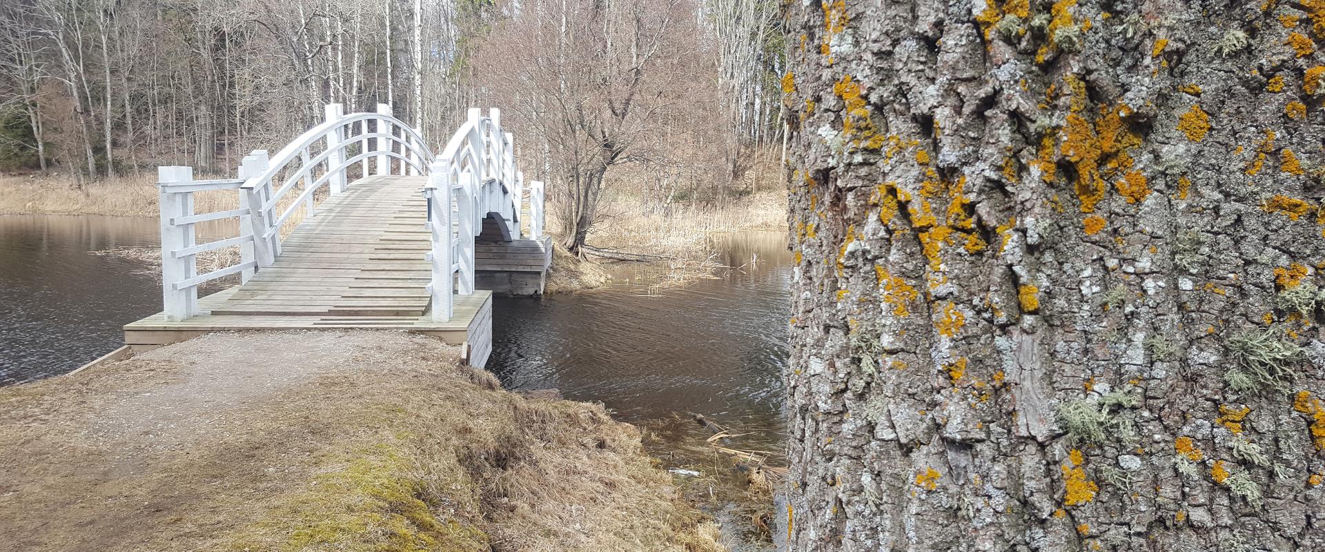
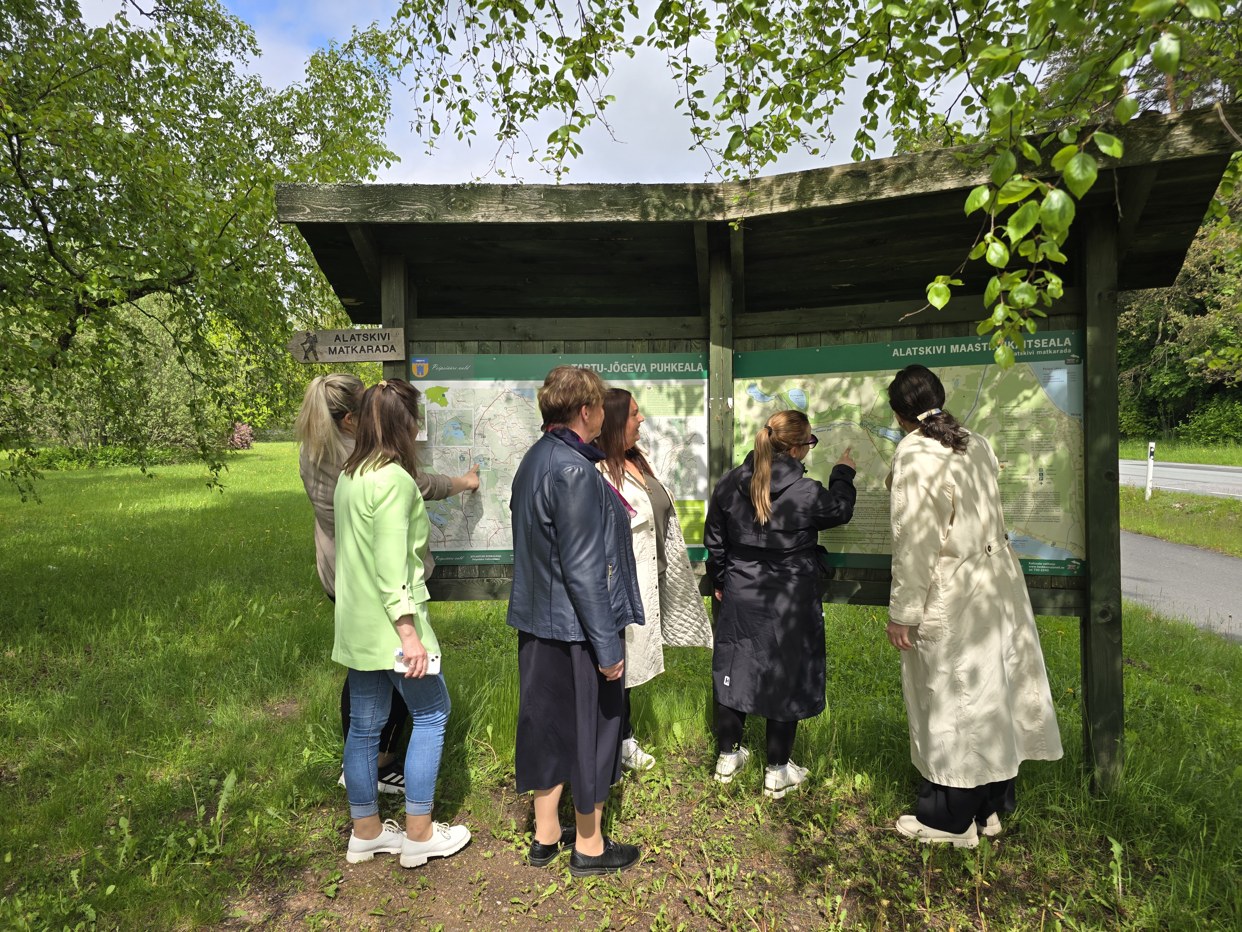
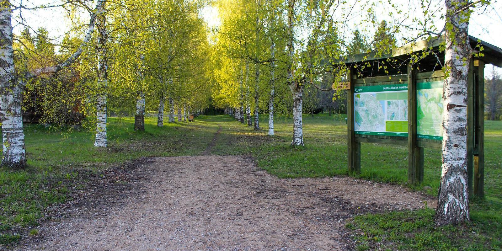
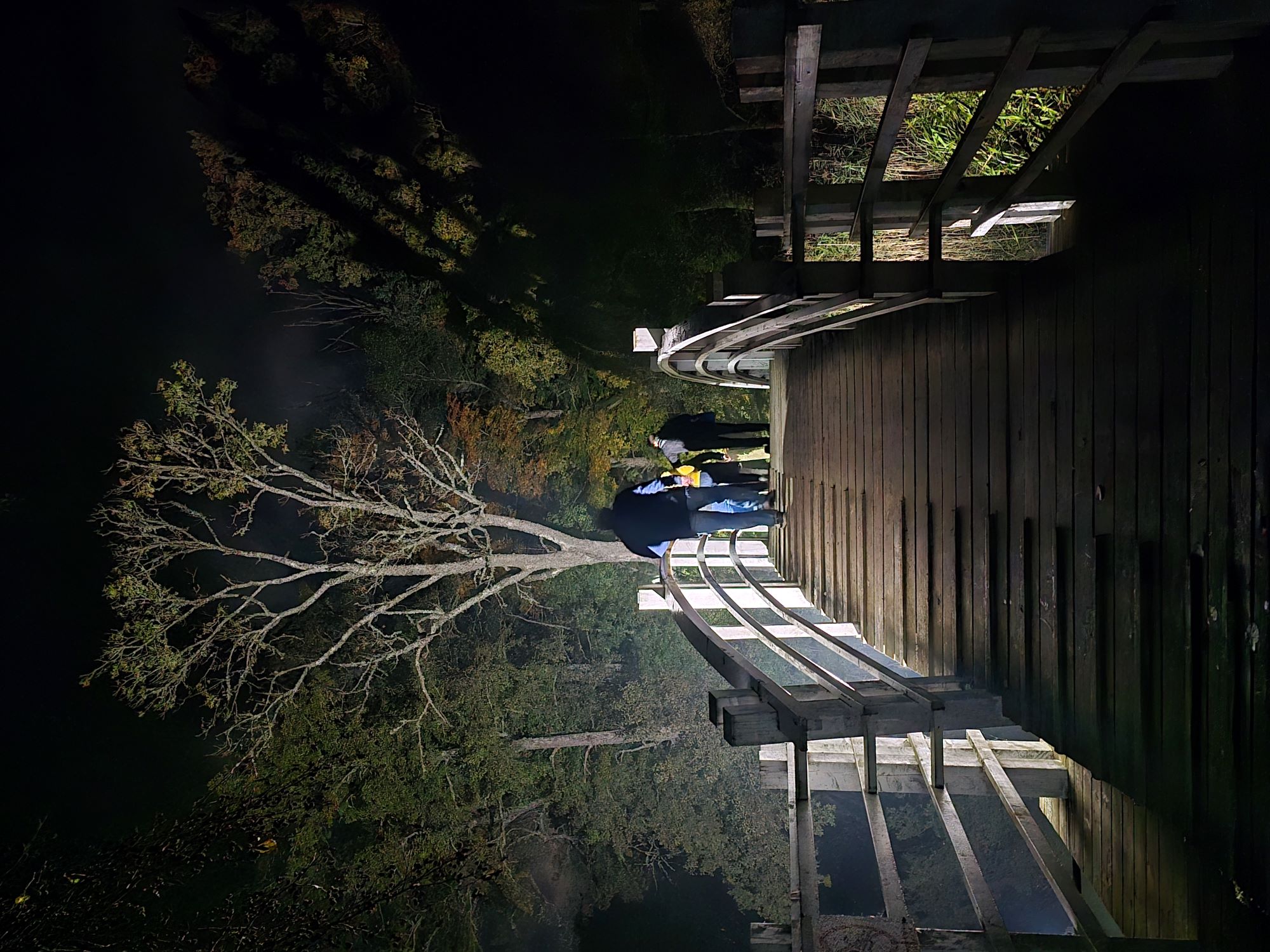
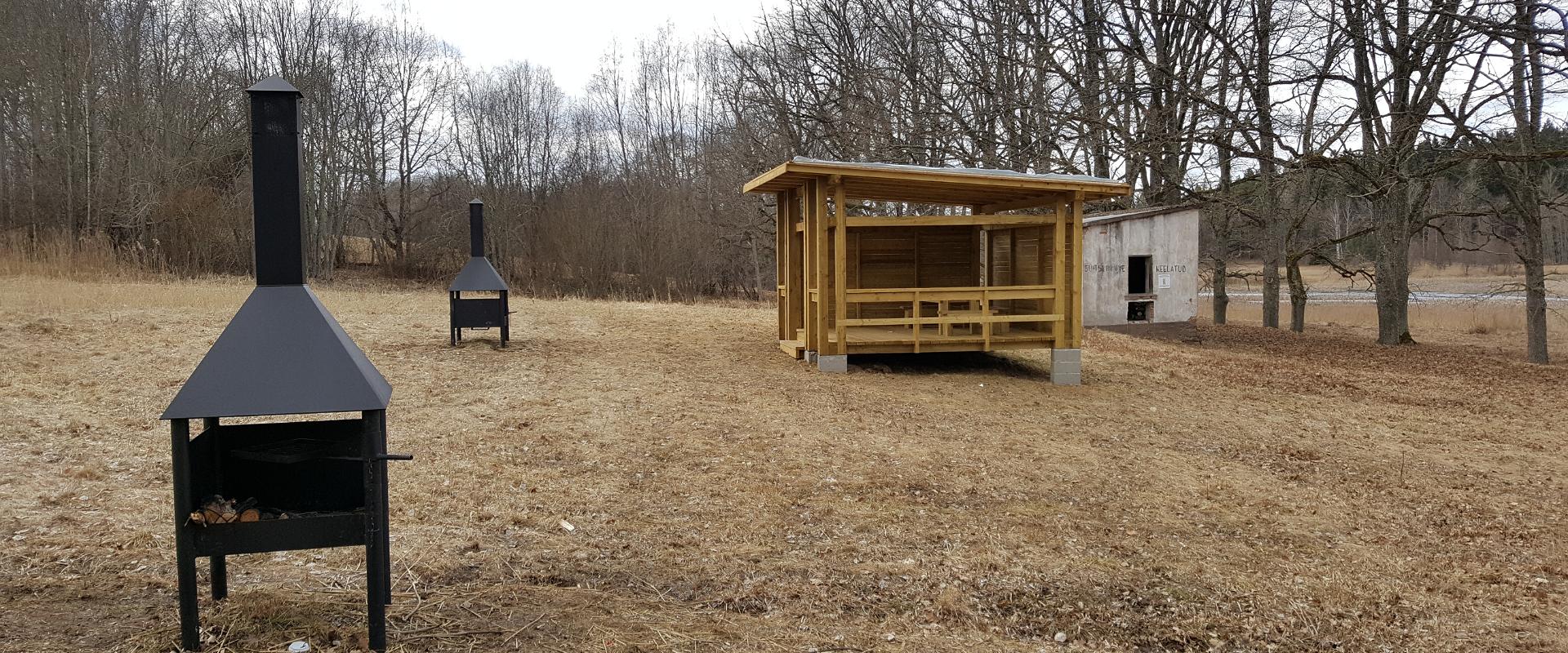
There are two large information boards on the trail, log stairs in the Bed of Kalevipoeg, two bridges, signs, and small information boards that introduce the objects found in the protected area.

Amenities

  • Information boards
  • Drop Toilet
  • Free parking

Open times

Throughout the Year

Around the Clock

Contact

  • +372 5648 0065
  • liis.lainemae@peipsivald.ee

Links

www.alatskiviloss.ee

See more

  • Hiking Trails

Hiking trail in the Rõuge Primeval Valley

The Rõuge Primeval Valley hiking trail is as straight as a line, 10 km long, it begins at Hinni Canyon or in the Ööbikuoru Centre parking lot. Beginning at the Ööbikuorg start point, the trail runs along the shores of seven lakes towards Hinni Canyon and offers hikers an opportunity to observe the workings of the area's water rams, see the deepest Estonian lake – Rõuge Suurjärv and visit Rõuge Park.Further on, on the shores of Lakes Ratasjärve, Tõugjärve and Kahrila, hikers can see the local forest communities, rest in meadows or enjoy the village landscape and proceed along the short path towards Hinni Canyon.

  • Hiking Trails

Helme caves

Located in the manor park of the same name, the Helme caves, are an unrivalled sight in Estonia. Situated to the north of castle ruins, the caves have a white Burtniek layer of sandstone walls standing 3 m high. Unfortunately for cave lovers though, some of the better known caves have already collapsed. Once comprised of seven interlinked chambers, the biggest of which was known as the Church of Moses. Peppered with springs, the caves have a long history; and over the years they have been dug out and used as shelters when needed. Did you know...?: In ancient times the Helme caves were also known locally as the gateway to Hell.Kivialune (under the rocks) was a shelter for Old Estonians during the wars.

  • Hiking Trails
  • Birdwatching

Tamme Outcrop hiking track

Tamme Outcrop hiking track is located on the eastern shore of Lake Võrtsjärv between the villages of Tamme and Neemisküla in Elva municipality. The area is rich in Devon sandstone outcrops from the Aruküla layer. Tamme Outcrop, which is located on the track, is an area where placoderms have been found and where valuable paleontological material has been collected since the second half of the 19th century.Ten information boards have been set up along the hiking track, which is almost 2 km long. They provide interesting information about the local natural environment. If you walk 1 km north on the track, you can turn back and hike back along a field or on a forest trail on the outcrop.

  • Hiking Trails

A nature study trail in the southernmost point of Estonia

Drive along the Võru-Valga highway from Saru to Kuutsi-Tiitsa-Karisöödi-Ura-Naha (about 14 km). The trail is about 4.8 km long and it takes a couple of hours to walk it through. The trail starts under the oak-tree with a perimeter of about 4 metres in Naha farm and runs very close to the state border, so make sure you take your ID with you. Interesting to know: you cannot put your foot down on the southernmost point, as the geographically correct southernmost point of Estonia is situated about 5 steps away from the marked spot, just in the middle of the Peetri River.

  • Lookout towers
  • Hiking Trails

Valgesoo study trail

The study trail is well-suited for getting acquainted with the development and vegetation of bogs and for observing pine cultures. A 1.8 km long circular study trail revolves around the Valgesoo bog. On the she study trail you can explore the bog vegetation, old pine plantation ("Baron's pine forest"), and a forest edge rich of Scottish wood ants. The whole trail is accessible by a wheelchair or stroller. To facilitate movement on the track, there is a track map and colour markings on the trees. There is an observation tower and a campfire site at the start of the study trail.Valgesoo bog is one of the 21 places worth discovering in Southern Estonia, which is suggested to be visited for those who are interested in nature.

  • Hiking Trails
  • Birdwatching

Large and Small Taevaskoda sandstone outcrops

The two Taevaskoda outcrops on the banks of the ancient valley of the Ahja River are one of the most frequently visited sites in southern Estonia. The sandstone outcrops and the ancient river form the most beautiful part of the Ahja River Landscape Reserve. Legends speak of caves, secret passageways and of demons and a mermaid with a golden comb. A walk from the Saesaare dam to the Small Taevaskoda outcrop, the Emaläte spring, the Neitsikoobas cave and the Large Taevaskoda outcrop, which rises 22.5 metres above the river, is worth undertaking in every season. The beautiful and exciting natural setting attracts hikers – it is a place that every Estonian visits at least once in their life!

  • Camping sites
  • Hiking Trails

Kisejärve hiking trail

Kisejärve hiking trail is 6 km long and runs along former horse roads and swamp borders (rubber boots are recommended). The hiking trails takes you past several lakes, valuable nature and bog communities and you can also see the results of the activities of beavers.

  • Camping sites
  • Hiking Trails
  • Beaches

Pikksaare hiking trail and Pangodi campfire site

The Pikksaare hiking trail begins at the swimming and camping area by Lake Pangodi. While walking along the hiking trail, you can enjoy peace and idyllic views of the lake and the surrounding nature and make a short detour to the War of Independence Memorial. The directional signs placed along the trail will help make the hike smoother. The hiking trail passes the Pangodi campfire site, where you can take a short break, as there is a shelter, a barbecue area, a nice swimming spot, and opportunities for camping. Come and spend a nice day in nature with your family or friends!

  • Collaboration
  • News
  • Contacts
  • Privacy Policy
Join our mailing list!

"*" indicates required fields

This field is for validation purposes and should be left unchanged.
I authorise marketing

Southern Estonian Tourism Cluster

info@visitsouthestonia.com