• Explore
    • Nature
    • Culture
    • Food
    • Family
    • Activity
    • Blog
  • Plan
    • Tourist info
    • Accommodation
  • For professionals
    • For professionals
    • Collaboration
    • News
    • Projects
    • Training
    • Repository
    • Community (opens in new tab)
    • Contacts
ENG
  • EnglishENG
  • EestiEST
  • LatviešuLAT
  • РусскийRUS
  • SuomiFIN
ENG
  • EnglishENG
  • EestiEST
  • LatviešuLAT
  • РусскийRUS
  • SuomiFIN
Popular searches:
Show all
  • Nature and Activities
  • Nature
  • Hiking Trails

Tõrvandu forest study trail

Rõuge vald, Võru maakond, 66116

The 3 km Tõrvandu forest study trail starts at a crossroads about 400 metres from Pähni Nature Centre. This marked and explained hiking trail is meant for everyone interested in the forest. There are campfire grounds, camping area and shelters on the trail. The 25 observation points of the trail are also permeable by car.

Amenities

  • Information boards
  • Free parking

Open times

Throughout the Year

Around the Clock

Contact

  • +372 501 9564
  • info.pahni@rmk.ee

Links

loodusegakoos.ee

See more

  • Hiking Trails
  • Camping sites
  • Lookout towers

Tellingumäe observation tower and recreational area

Tellingumäe's 25-meter-high observation tower offers a beautiful view of the winding Mustjõgi gorges and the hilly landscape typical of South Estonia. Latvia can be seen in the distance, as nearby the Mustjõe River joins the Koiva (Gauja) River on the Estonian-Latvian border. Tellingumäe observation tower is a great place to observe nature and birds. Several rare bird species can be found here. The tower has an RMK campfire site and marked cycling and hiking trails of different lengths, like the Estonian-Latvian joint cultural heritage trail and the Koiva Cycling Trail.

  • Hiking Trails
  • Camping sites
  • Lookout towers

Meenikunno hiking trail

Cabins for hikers, an observation tower and a boardwalk attract many nature lovers to the Meenikunno bog. It is a beautiful recreation area. While walking down the boardwalk, you can see the most common bog plants: leather leaf, bog rosemary, crowberry, Marsh Labrador tea, and tussock cottongrass; at the edge of the bog, dwarf birches can also be found. There are also a number of different species of peat moss of various colours. The bravest hikers can try drinking bog water (it has an interesting taste!) from the overgrown ditch near the edge of the bog.Good to know: The boardwalk is pram and wheelchair accessible.

  • Hiking Trails

Rebäse landscape trail

The 7-kilometre-long Rebäse landscape trail is located in the Karula National Park. The trail runs through old farm landscapes, passing the oldest farmstead in the area and the Linnamägi hill with traces of settlement from the Early Iron Age. Hikers can climb up the local "Mount Ararat", see Lake Raudjärv with its ice-cold water, and admire one of the largest gullies of Karula upland.You may need sturdy boots to pass the trail because in rainy weather the trail might be muddy and the boardwalk slippery. The trail also passes pastures, so you might encounter curious but generally friendly cows. Be careful around farm fences, they may be electric!

  • Hiking Trails

Emajõe river shore path

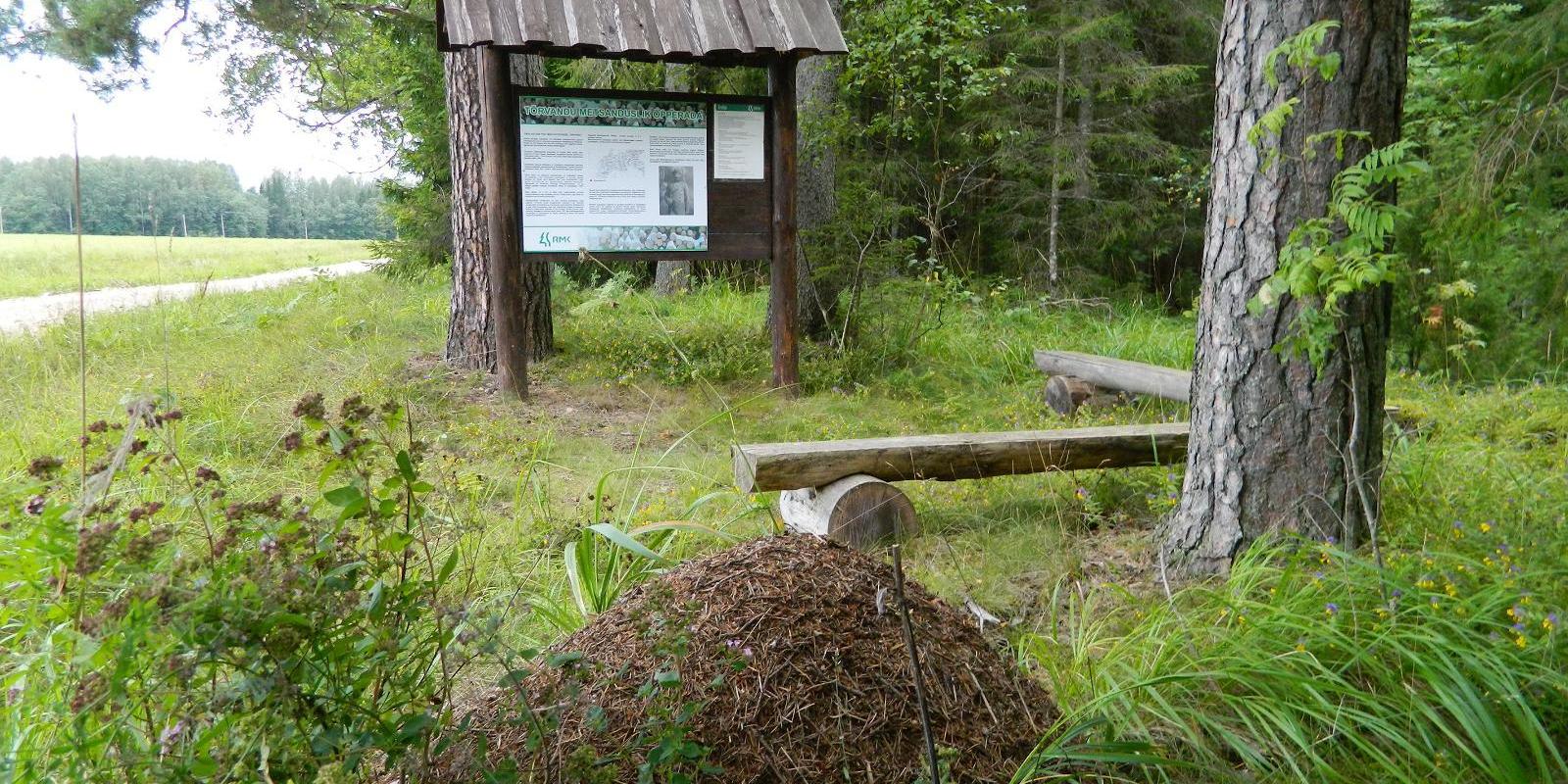
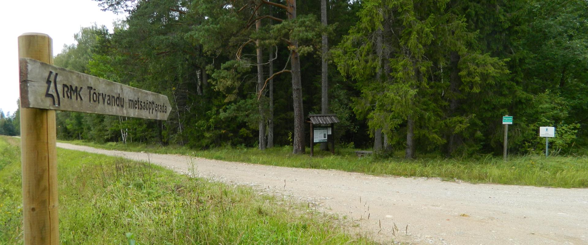
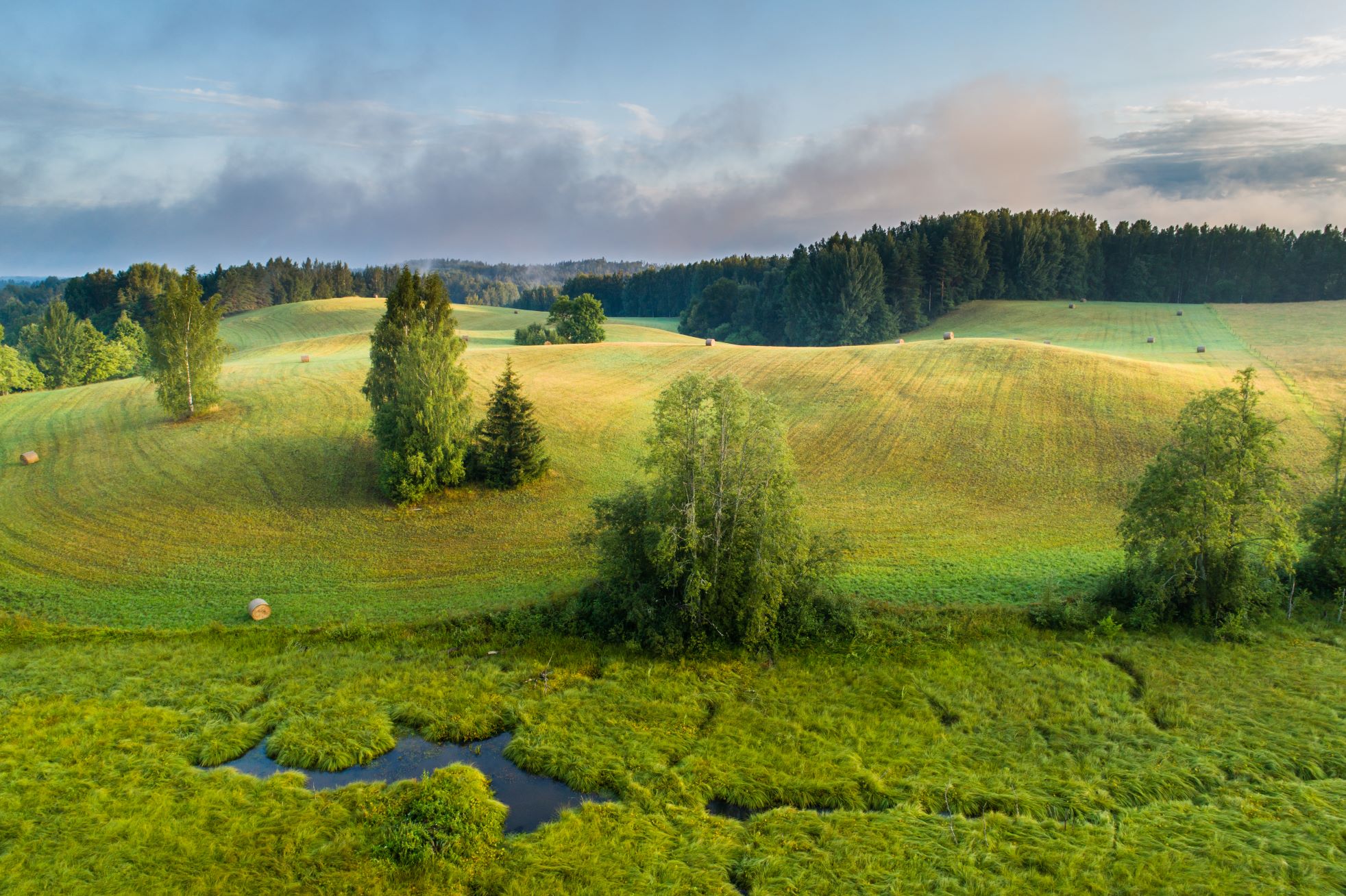
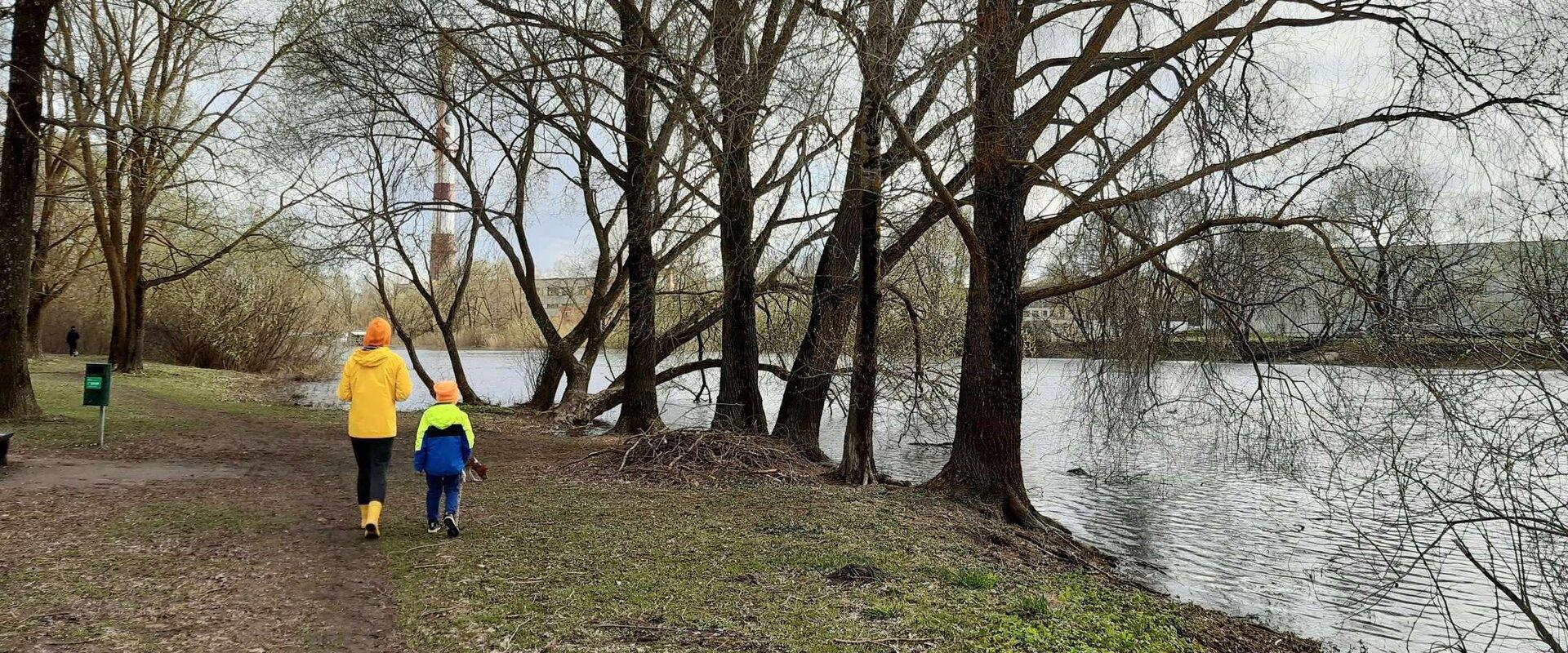
The 4-km Emajõe river shore path starts from the Turu bridge between River Emajõgi and Anne channel, and it runs on the Natura 2000 protection area and offers spacious views of the Anne channel, River Emajõgi, ship and boat traffic, and Karlova harbour.The hiking trail features information boards, riverside picnic areas, and several bridges, you can also meet hobby fishermen there. During spring, the path may be flooded and provides an opportunity to enjoy the views of the flooded meadow. When the trail ends, you can walk the same way back. Another option is to turn left to the gravel road, which leads to the Ihaste cycling and walking road.

  • Hiking Trails

Taagepera hiking trail

The total length of Taagepera hiking trail is 5.4 km. The trail begins and ends at the Taagepera campfire site and partly runs along the shores of the Õhne River. The trail can also be completed in smaller circles – 1.6 km and 4.0 km long. There are wooden signposts and information boards at the hiking trail, capfire site is suitable also for camping.The main sights of the hiking trail include the Taagepera Castle with the Castle Park, Taagepera Church and the Cemetery, the graveyard of barons, the Musukivi rock, the sacrificial stone, the underground cemetery, and the Õhne River.A truly inspiring hike full of history, architecture, and ancient nature!

  • Hiking Trails

RMK forest study trail at Pähni Nature Centre

The 2.8 km Pähni forest trail starts and ends at the Pähni Nature Centre.The trail starts with an information board with introductory text, later on you have to follow the signs.There are 15 points of interest on the trail with information on different types of forests, species of trees and evidence of cultural heritage and animal activity. There is also a fire pit and shelters (4) where you can relax and take a break. The trail is partially covered with a wooden boardwalk (200 m).

  • Camping sites
  • Hiking Trails

Lake Kavadi hiking trail

The 2.2 km hiking trail in Kavadi runs along the banks of Lake Kavadi. The hiking trail begins and ends in New-Salus Park, which has a resting place, campfires with barbecue grilles and a campsite. The trail with the direction of travel winds both along the shore lane and under the forest. Lake Kavadi is considered the most articulated shore-lined lake in Estonia. The surface area of the lake is 27.4 ha. The current size and look have been acquired by the lake some 140 years ago when Baron C. FR. von Maydell, who bought the New-Salus mansion, swelled up three small swamp lakes.

  • Hiking Trails

Wood Ants’ Trail of Kiidjärve

Among the approximately 1 km study trail introducing the life of wood ants, the hiker can feel like a giant in the minuscule world of ants. In an area of 20 hectares there are 200 ant hills, the biggest of which is 1.7 m high; you can also admire the record-high spruce (42 m). The trail has signs, information boards, and bridges crossing ant highways.The trail is for walking only. While hiking on the trail near ant hills, use only the bridges installed there. The Laari forest study trail starts on the other side of the railway.The civilisation of ants offers an experience for both children and adults.

  • Collaboration
  • News
  • Contacts
  • Privacy Policy
Join our mailing list!

"*" indicates required fields

This field is for validation purposes and should be left unchanged.
I authorise marketing

Southern Estonian Tourism Cluster

info@visitsouthestonia.com