• Открой
    • Еда
    • Природа
    • Культура
    • Семья
    • Спорт
    • Сообщество
    • Блог
    У Вас появились свободные выходные, чтобы провести с детьми? Здесь собраны лучшие места в Южной Эстонии для семейного отдыха
  • Планируй
    • Размещение
    • Информация
    • Varamu
    Sustainability
RUS
  • РусскийRUS
  • EestiEST
  • EnglishENG
  • LatviešuLAT
  • SuomiFIN
RUS
  • РусскийRUS
  • EestiEST
  • EnglishENG
  • LatviešuLAT
  • SuomiFIN
Populaarsed otsingud:
Näita kõiki tulemusi
  • Nature and Activities
  • Nature
  • Camping sites
  • Hiking Trails
  • Beaches

Lake Pühajärv hiking trail

Kolga tee 28, Otepää vald, Valga maakond, 67405

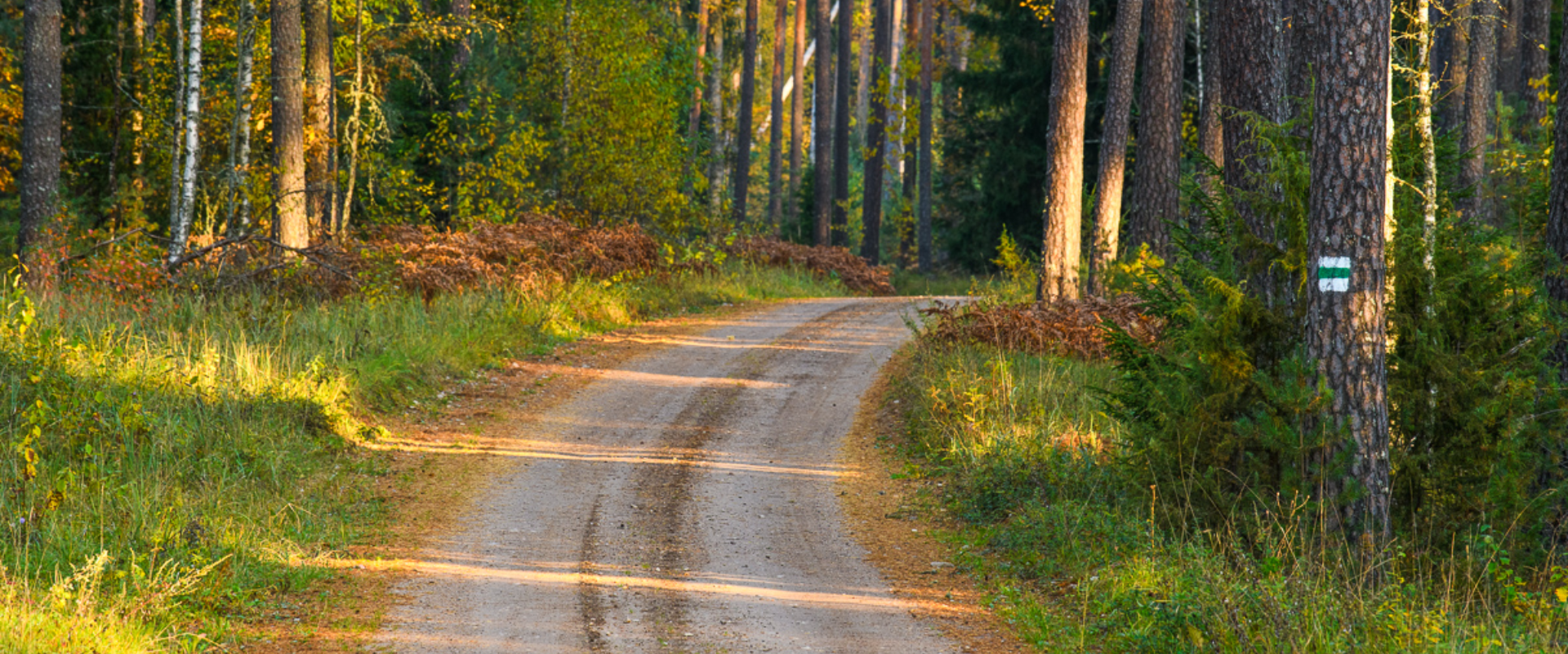
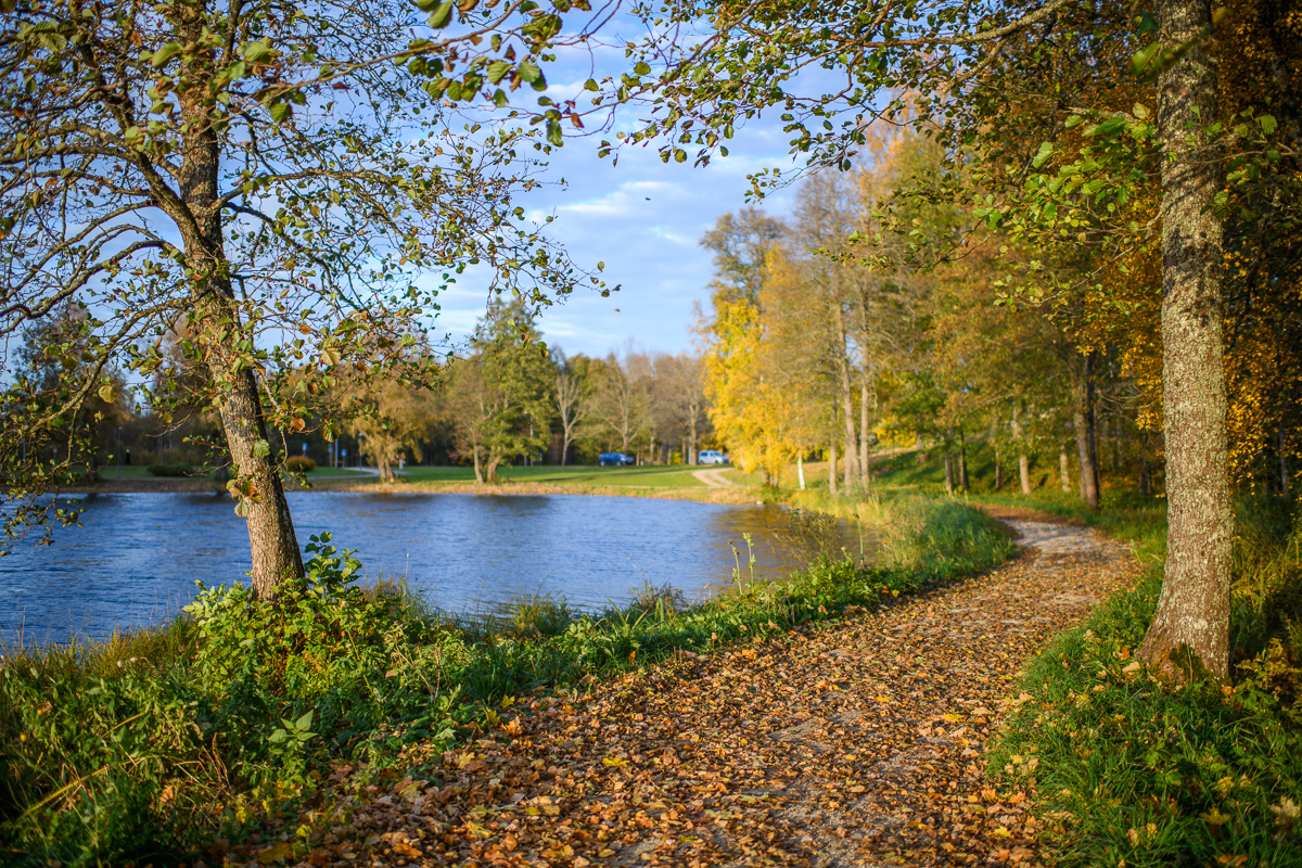
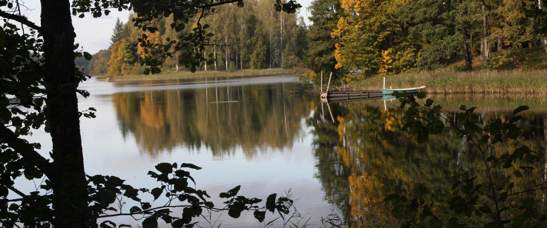
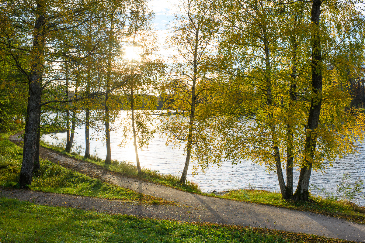
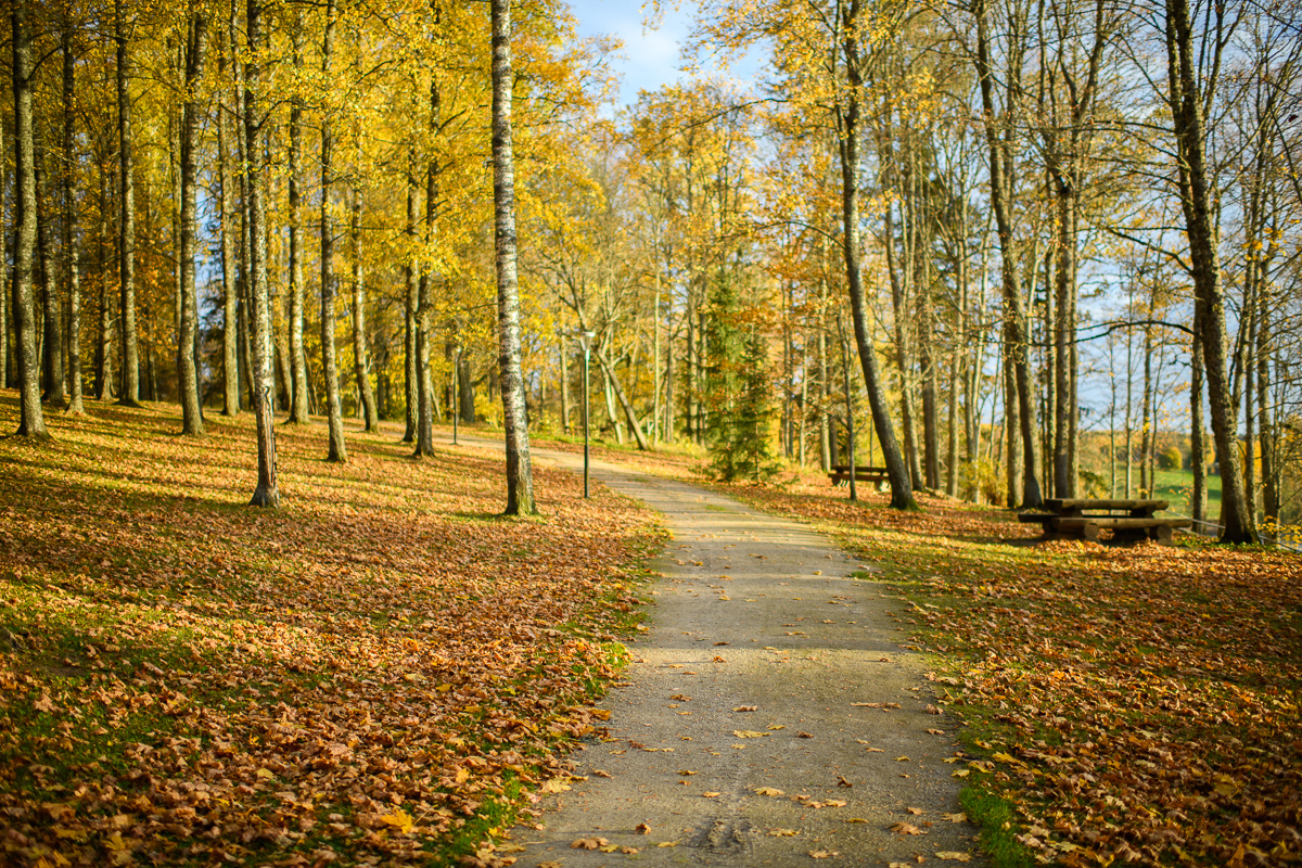
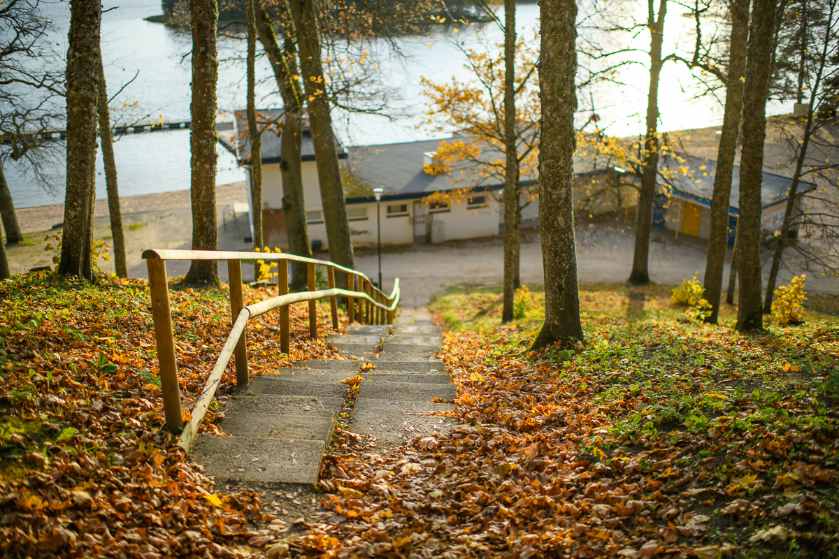
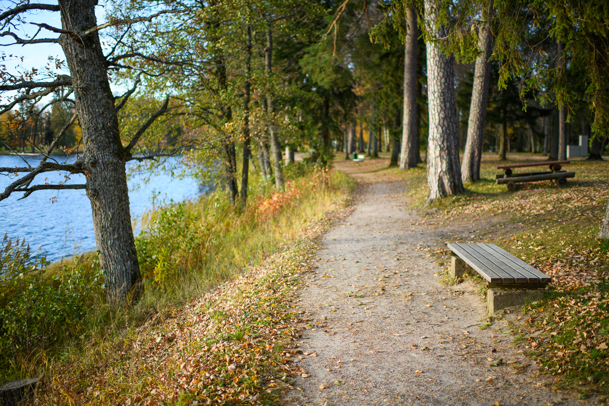
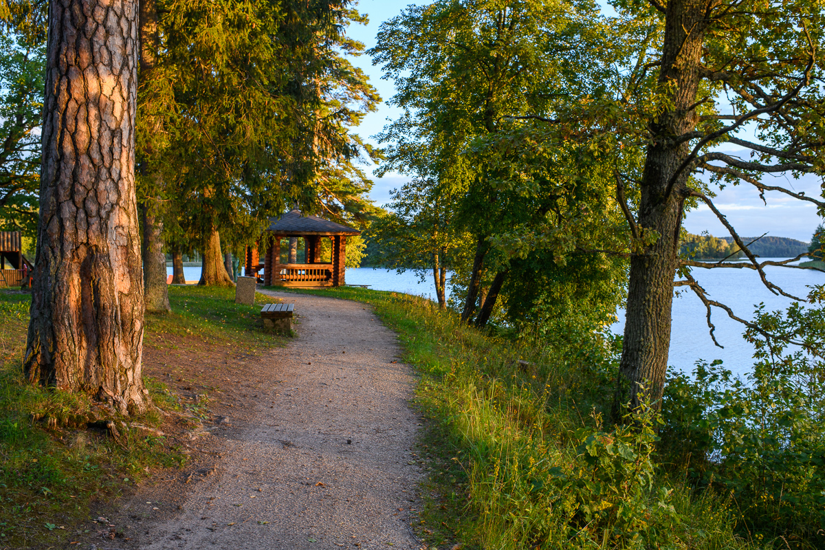
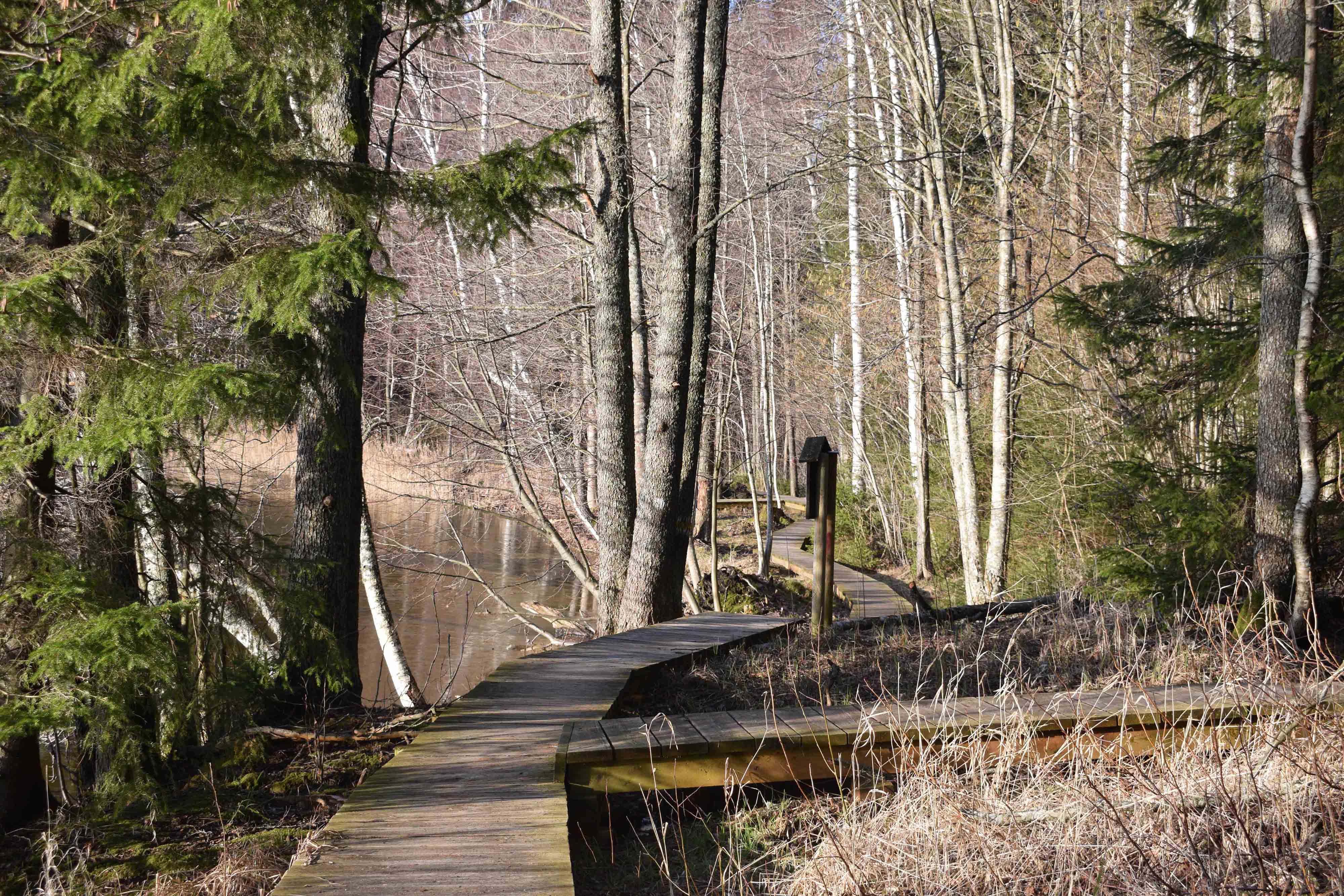
The hiking trail that encircles Lake Pühajärv starts near the centre of Otepää Nature Park. The 14 km trail takes you on a voyage of discovery around one of the most unique and beautiful lakes in Estonia.
Covering the whole track takes from 3–6 hours. There are rest areas and barbecue sites along the way. Part of the track (approximately 2.2 km) runs along the Pühajärve–Kääriku exercise track by the Otepää–Kääriku highway.
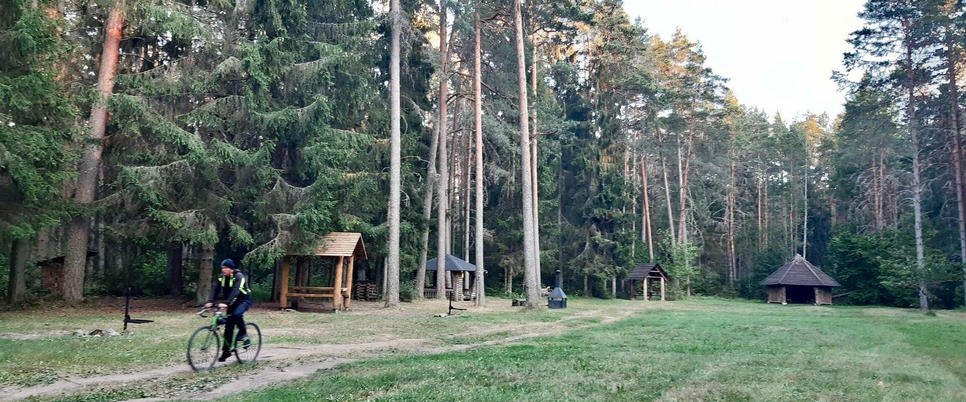
You can cover the track by foot or bike. Cyclists must bear in mind that there are parts of the track on which you will have to push your bike instead of riding it. The Angunina, Kiigemäe and Koolirand campfire sites are located on the trail. There, you can make a fire and camp.
Mugavused

  • Information boards
  • Free parking

Часы работы

Круглый год

Ööpäevaringselt

Контакты

  • +372 766 1200
  • turism@otepaa.ee

Ссылки

rmk.ee

Подробнее

  • Beaches

Kiidjärv beach

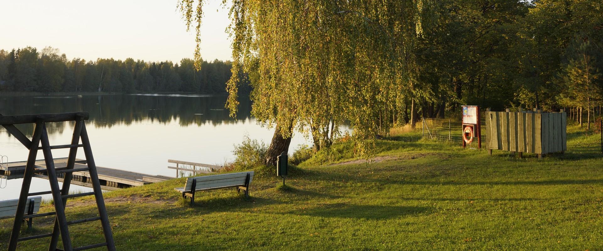
Lake Kiidjärv is the perfect place to enjoy the beach or summer evenings: there is a sandy beach, two swimming bridges, and a small playground for children. Swim at the beach at your own risk! Kiidjärve Manor Park is located near the swimming area.Nearby are Kiidjärve Water Mill, RMK Kiidjärve Visitor Centre, Roiupalu study trail (800 m), Valgesoo bog study trail and watchtower (3.5 km), and Large Taevaskoda sandstone outcrop (3.5 km).The buildings of Kiidjärve Manor were built in the second half of the 18th century and the park was probably built at the same time. The manor house was destroyed in a fire in 1950, but some smaller buildings have been preserved, such as a granary-drier.

  • Hiking Trails

Sangaste forest park trail

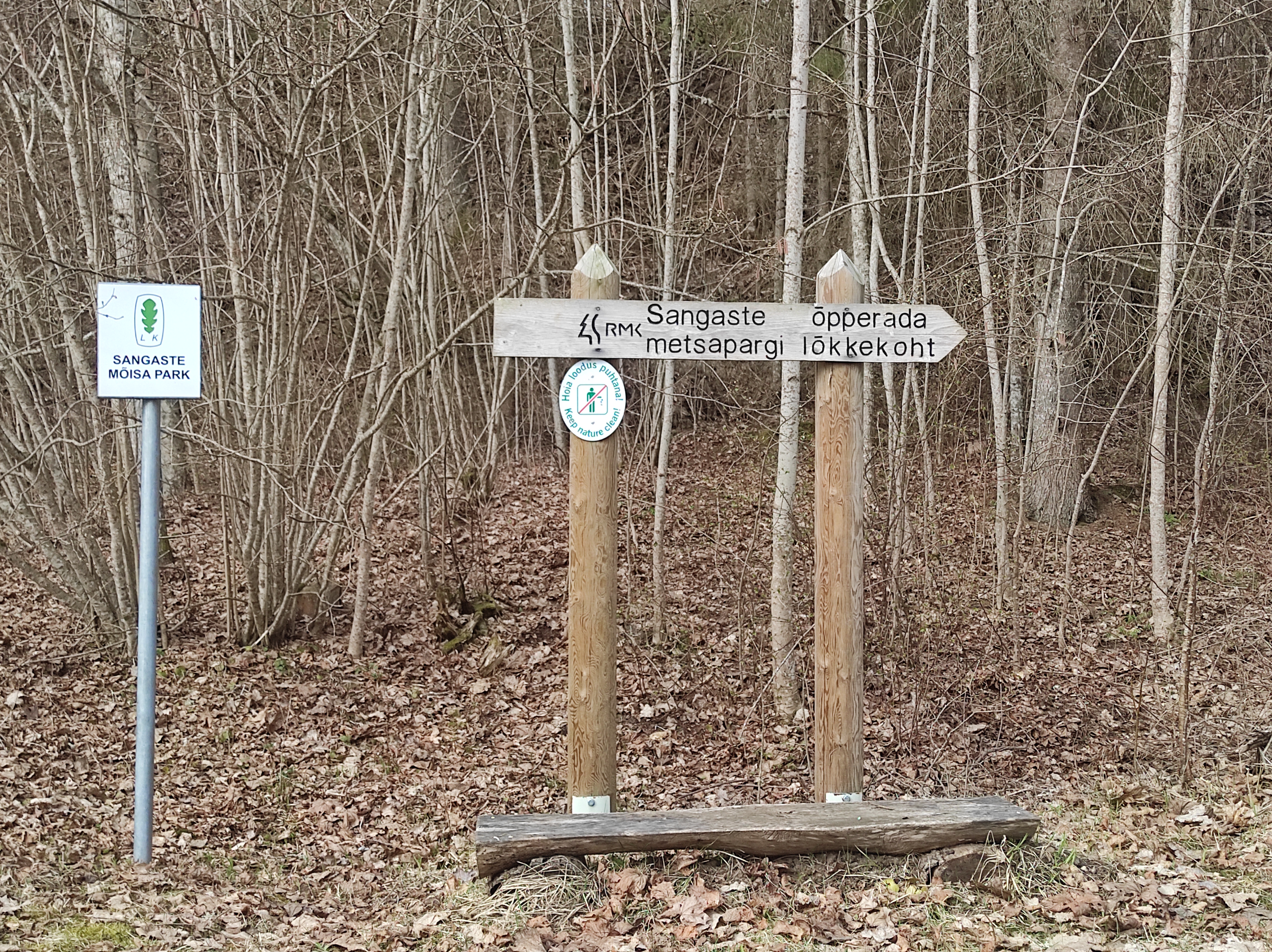
The 3-kilometre-long Sangaste forest park trail is located in Kiidjärve-Kooraste Recreation Area and starts from the forest park behind the Sangaste Castle.The trail introduces the forest park, founded by Count Friedrich Magnus Berg, where nearly a few hundred different species of trees and shrubs are represented. The trail has signs, stairs, bridges, and information boards that introduce the forest park and the various species of trees. There's also a campfire site on the trail with a fire pit, benches, a toilet, and a wood shed, which can also be used as a shelter.Interesting fact: Estonia's tallest, a 42-metre-tall Douglas tree grows in the park. It's possible to visit the Sangaste Castle during opening hours.

  • Lookout towers
  • Hiking Trails

Estonian-Latvian joint cultural heritage trail

An exciting hiking trail runs along the banks of the Koiva River, which borders Estonia and Latvia. You can discover points important to both countries' cultural heritage along the trail! The trail is 22 kilometers long, so there and back comes to 44 kilometers. The trail introduces old Estonians' way of life and offers the opportunity to get acquainted with historical heritage in the middle of nature. The trail includes, for example, Taheva Manor, a windmill, the ruins of a hay barn, and ancient trees. There are several campfire sites and camping sites. The trail is signposted and equipped with information boards in Estonian, Latvian, and English, and it can also be completed by bike.

  • Hiking Trails

Taevaskoda Hiking Trail

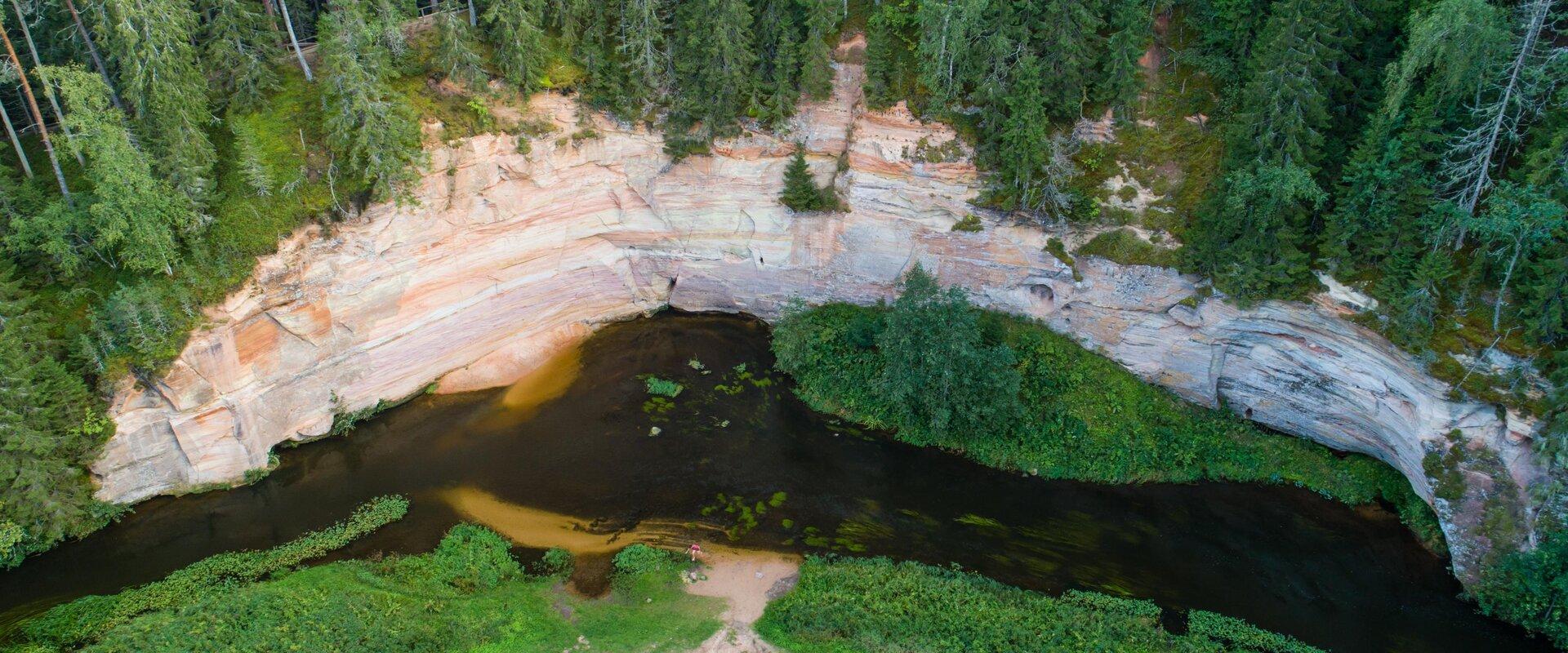
Come walk with your family on the Taevaskoda hiking trail, located in the Ahja River Valley Landscape Reserve. The trail starts from the Taevaskodade parking lot and runs circularly along both banks of Ahja River, where the outcrops of Väike and Suur Taevaskoja, caves formed by springs, and picturesque views catch your eye.At the beginning of the hiking trail, there is an information board with a map of the recreational area and the trail. On the trail, signs in Estonian, English, and Russian will help you find the way. Visitors with a wheelchair or a stroller can travel along the alternative trail to Suur Taevaskoda, length 3 km. Good to know: you can see kingfishers flying around while walking in Taevaskoda.

  • Camping sites
  • Lookout towers
  • Hiking Trails

Hiking trails of the Paganamaa Landscape Reserve

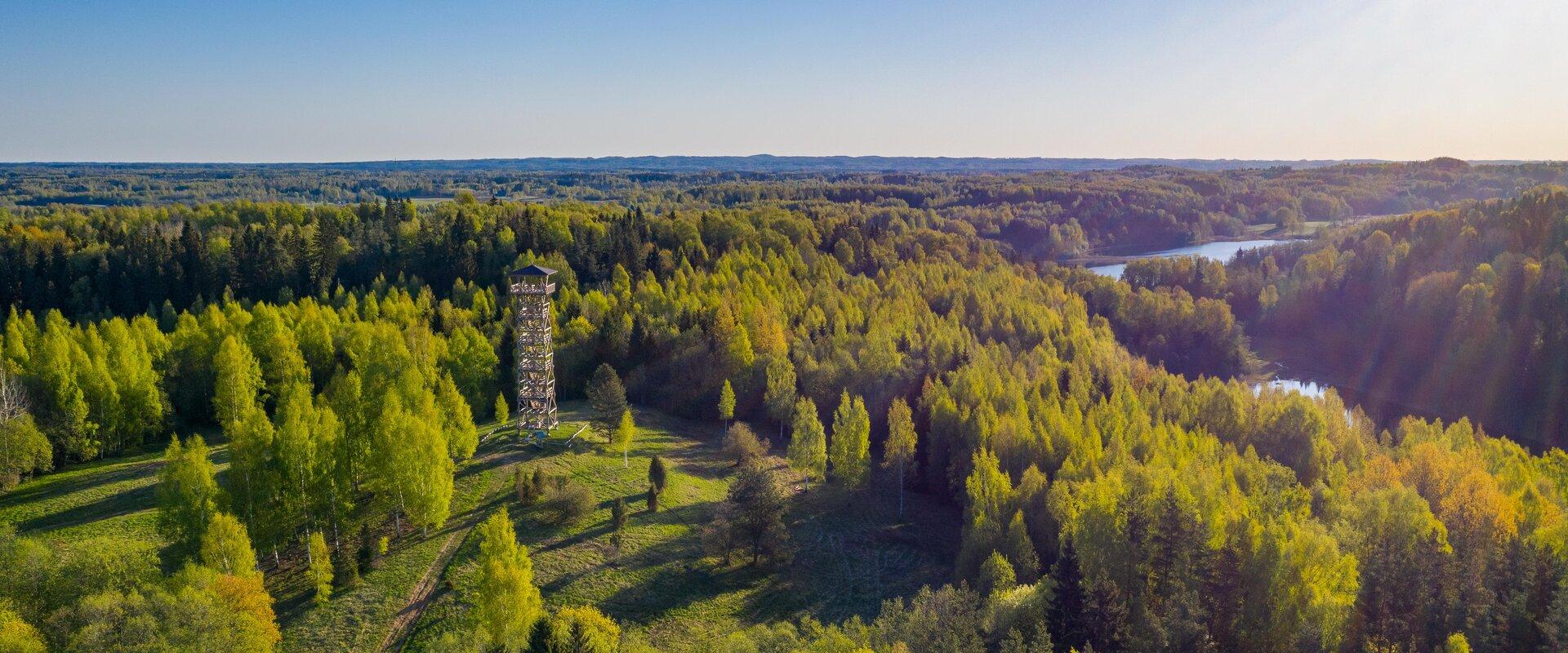
there are three different hiking trails with a length of 3.8 km, 4.3 km and 4.7 km in the Paganamaa , just off the Latvian border in plus, there's a gazebo in . All trails begin at the Paganamaa bonfire site, where a beautiful view of Paganamaa nature can be enjoyed from the tower. on the trails, you'll see a mixed forest with a primeval forest appearance and an old Kazik, with Kikkajärv and greater Mudajärv on the road. at the beginning of the hiking trails, there's also a resting place, which is a good place for bonfire making, camping, camping.

  • Hiking Trails

Elva primeval valley hiking trail and Illi camping area

The Elva primeval valley hiking trail is a 15.5 km long trail located in the Elva landscape protection area with alternating terrain for those who want to hike for several days. On the trail, you will find various forest landscapes, sandstone outcrops, wonderful forest lakes, Viti observation tower, floodplain meadows, trenches, beavers, and the kingdom of ants. There is also a Witch's House and Adventure Trail on the trail.The primeval valley trail starts and ends at the Tartu County Recreational Sports Centre. The scheme of the hiking trail with camping and campfire sites (including the Illi camping area) can be found HERE. The black or yellow numbers on the track indicate the kilometers travelled.Please respect the nature while you're here!

  • Hiking Trails

Lõunalaagri hiking trail

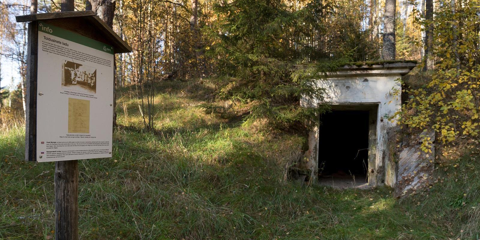
The 2 km long hiking trail of Lõunalaager is established on the former grounds of the Estonian Defence Forces' Lõunalaager. In 1920, an impressive military complex was built here, where infantrymen practiced during the summer. Although nothing remains of the buildings, the shimmering reservoir among the trees, the old bridge, several foundation stones, and trenches speak of the realities of that time. Information boards provide additional reading about the past. It's an experience to perceive how quickly nature hides everything once made by humans. The Lõunalaager hiking trail offers a unique opportunity to combine a light nature walk with the heritage of Estonia's military history. The natural course of the trail around the reservoir and over the old bridge creates a peaceful, almost meditative atmosphere. The RMK campfire site allows for a rest break and, if necessary, camping. The trail is marked, and information boards help understand the area's significance in the history of the Estonian Defence Forces. Crossing with the shooting range cycling trail offers an additional opportunity for longer movement – thus, a more sporty day loop can be initiated from Lõunalaager.

  • Beaches

Recreation area by Rahinge reservoir

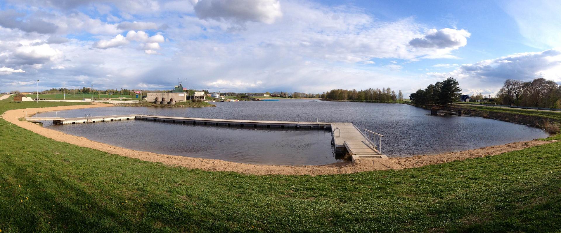
Welcome to the recreation area by Rahinge reservoir (4 km from Tartu).The recreation area has a swimming area, village square and ball courts. The swimming area has a sandy beach, a large float bridge and a changing cabin. The village square has a 500 m2 tent for events, dance floor, stands and a flag pole. Ball courts are suitable for beach football, beach volleyball and beach tennis.Nearby, you find Rahinge Extreme Sports Park. There, you can enjoy the mind-boggling stunts of extreme athletes and try copying those yourself. The park has the necessary equipment.This is a great place for a birthday party or a company event.

  • Privacy Policy

"*"обозначает обязательные поля

Это поле используется для проверочных целей, его следует оставить без изменений.
Я разрешаю маркетинг