• Avasta
    • Еда
    • Природа
    • Культура
    • Семья
    • Спорт
    • Сообщество
    • Блог
  • Planeeri
    • Размещение
    • Информация
    • Varamu
RUS
  • РусскийRUS
  • EestiEST
  • EnglishENG
  • LatviešuLAT
  • SuomiFIN
RUS
  • РусскийRUS
  • EestiEST
  • EnglishENG
  • LatviešuLAT
  • SuomiFIN
Populaarsed otsingud:
Näita kõiki tulemusi
  • Nature and Activities
  • Nature
  • Lookout towers
  • Hiking Trails

Väike Munamägi Hill

Otepää vald, Valga maakond, 67408

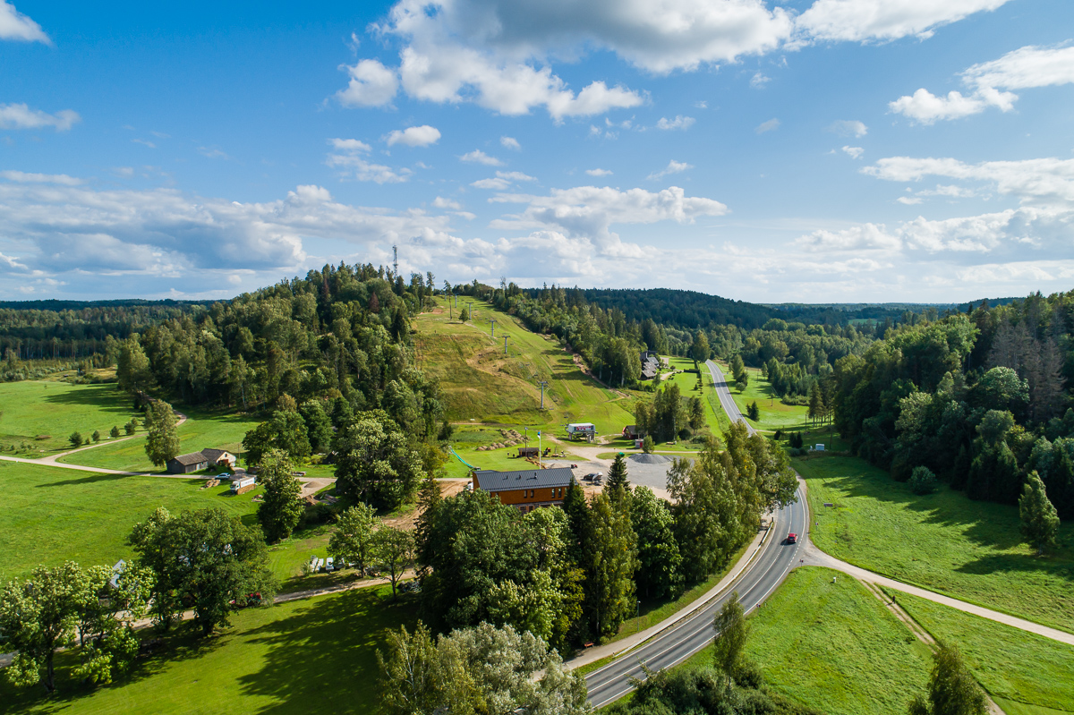
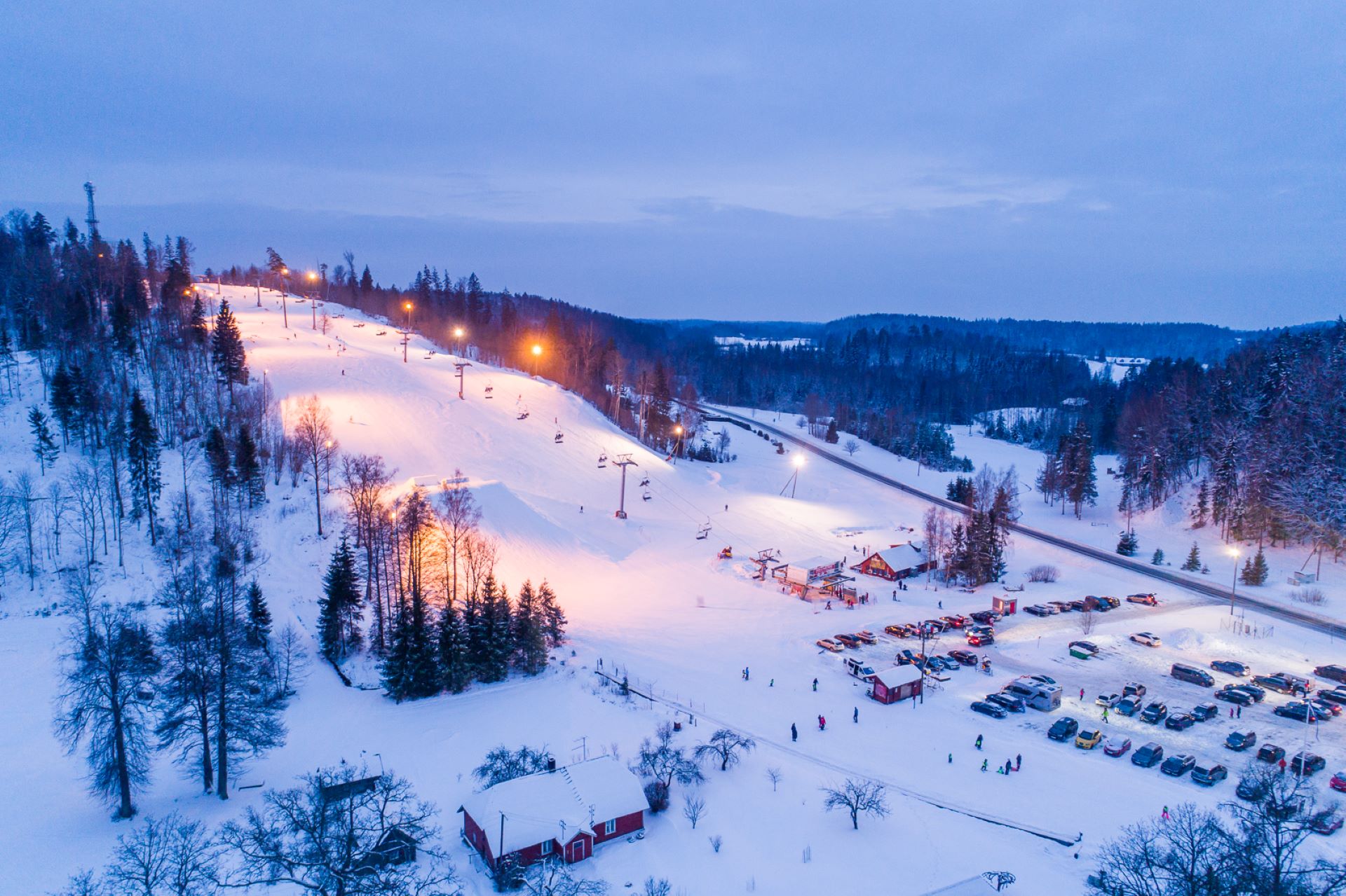
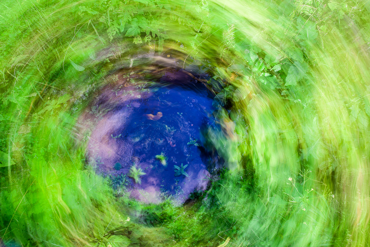
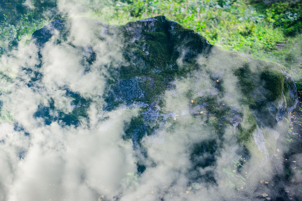
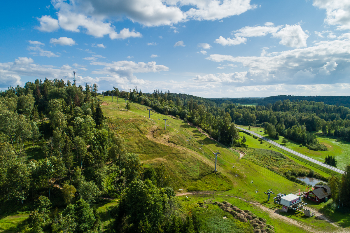
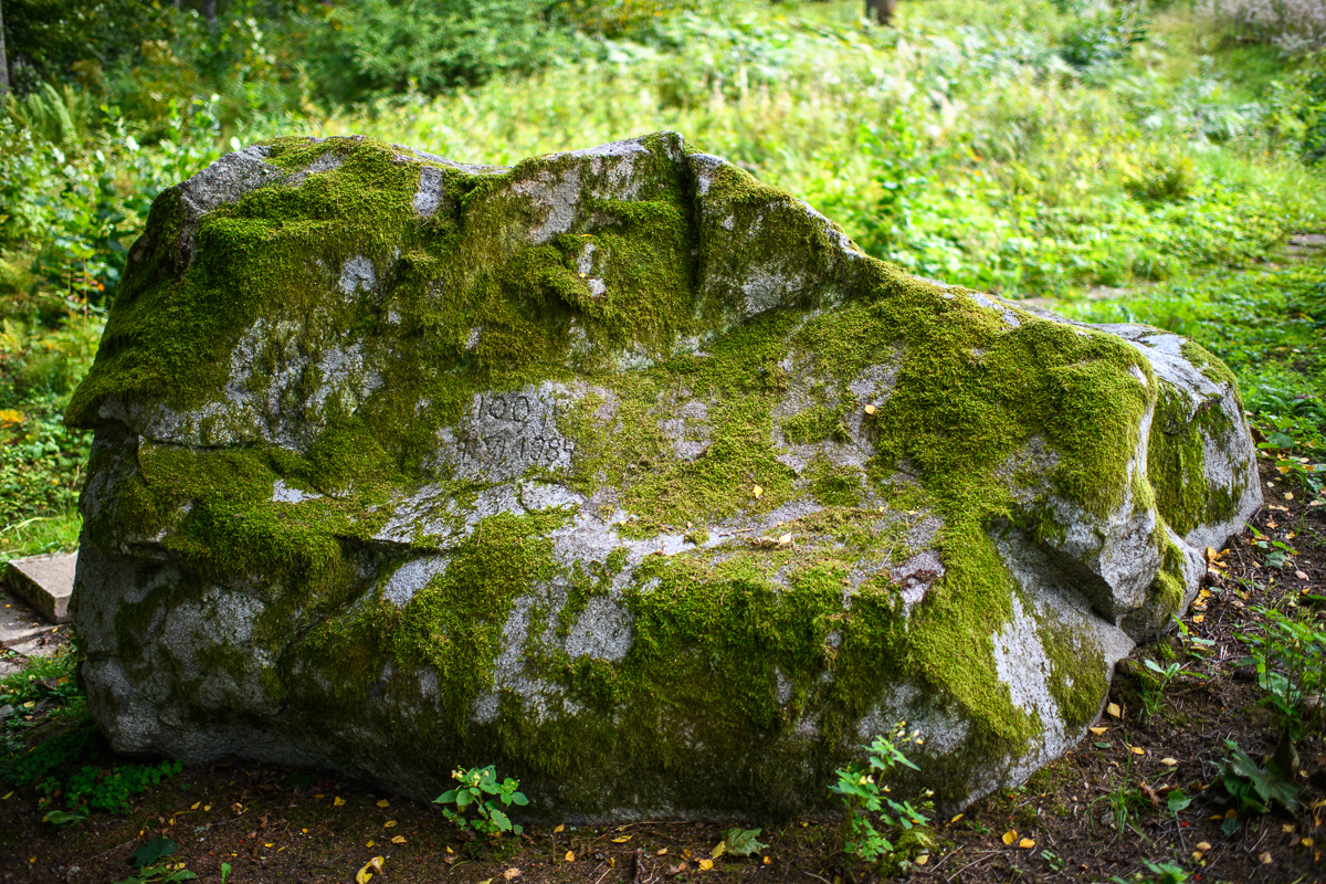
Climbing to the top of Munamägi Hill is worth the effort – the view covers more than 50 km. The absolute height of Väike or Otepää Munamägi Hill is 207.5 m (relative height exceeds 80 m). There is a spring on the north-eastern slope of Väike Munamägi (in the direction of Otepää) that has been considered the start of the Väike Emajõgi River for a long time. The boulder on the edge of the first plain is the biggest in the area – 250,000 kg.
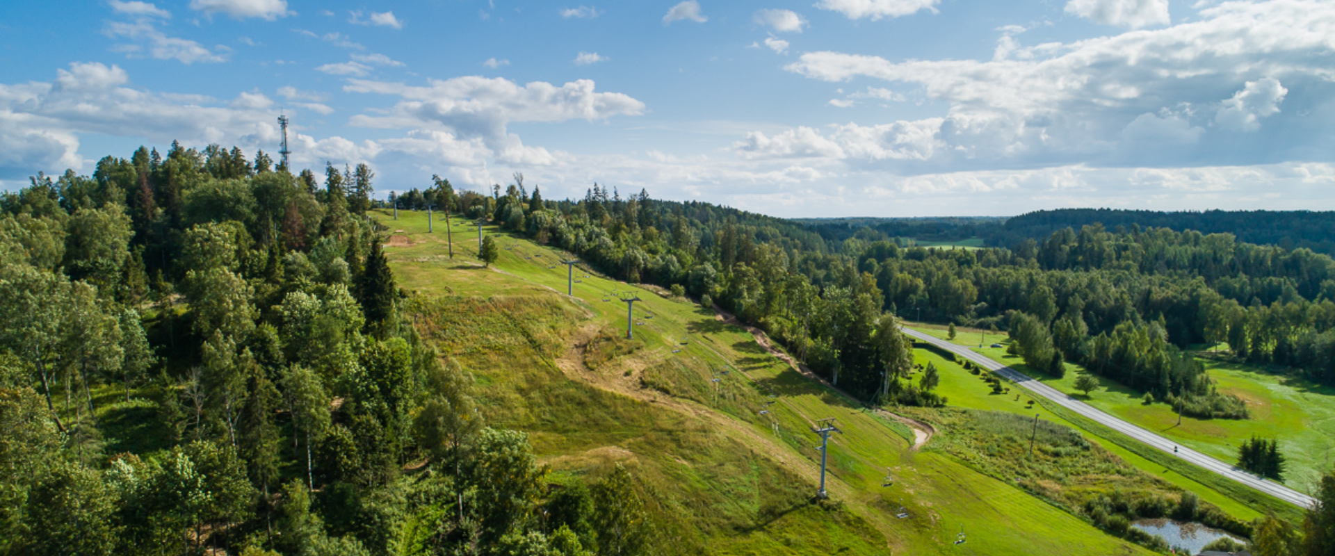
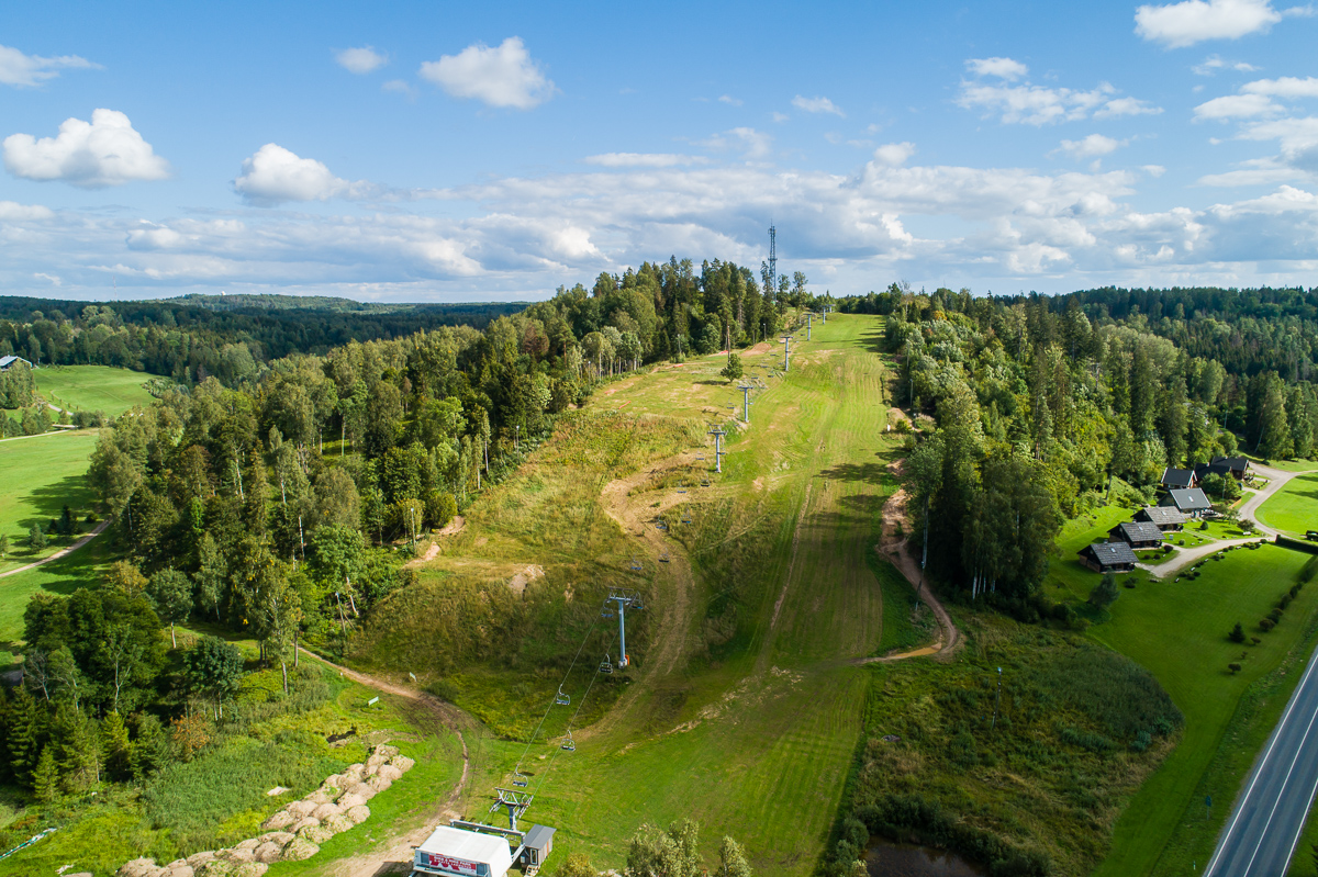
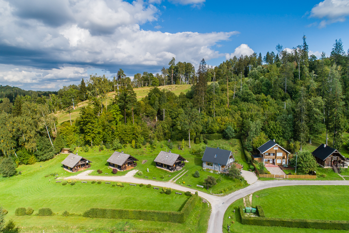
Take a look at the aerial panorama (picture by Joel Tammet).

Mugavused

  • Information boards
  • WC
  • Free parking
  • Catering

Lahtiolekuajad

Aastaringselt

Ööpäevaringselt

Kontakt

  • +372 766 1200
  • turism@otepaa.ee

Lingid

Vaata lisaks

  • Camping sites
  • Hiking Trails
  • Beaches

Lake Pühajärv hiking trail

The hiking trail that encircles Lake Pühajärv starts near the centre of Otepää Nature Park. The 14 km trail takes you on a voyage of discovery around one of the most unique and beautiful lakes in Estonia. Covering the whole track takes from 3–6 hours. There are rest areas and barbecue sites along the way. Part of the track (approximately 2.2 km) runs along the Pühajärve–Kääriku exercise track by the Otepää–Kääriku highway. You can cover the track by foot or bike. Cyclists must bear in mind that there are parts of the track on which you will have to push your bike instead of riding it. The Angunina, Kiigemäe and Koolirand campfire sites are located on the trail. There, you can make a fire and camp.

  • Camping sites
  • Hiking Trails

Piusa River valley hiking trail

The total length of the hiking trail in the primeval valley of the Piusa River is 15 km from the ruins of the Vastseliina Episcopal Castle to Lindora or vice versa. You can take the trail on foot, but parts of it are also passable either by bike or car. The highlights of the reserve are the tall Devonian sandstone outcrops – the tallest of them is the wall of Härma Mäemine or the Keldre Wall (total height 43 m, length 150 m). There are two camping sites – under the Make Wall on the first third of the trail and under the Härma Lower Wall towards the end of the trail.The object is not lighted, which is why we recommend to visit it during the day.

  • Hiking Trails

The Baltic Forest Trail

The Baltic Forest Trail is a hiking trail over 2,000 km long running through the Baltic States, of which 720 km are available for hiking in Estonia. The trail is divided into 50 one-day sections, each approximately 20 km long and marked with signposts. The trail sections have different difficulty levels so everyone can choose the most suitable one for themselves! The hiking trail passes through forested areas and two national parks, Lahemaa and Alustaguse National Parks. Along the way, you can observe trees of different species and places connected to historical events or legends. The trail is well-suited for bird and animal watching. The Baltic Forest Trail is part of the international European long-distance trail E11.

  • Hiking Trails

Sangaste forest park trail

The 3-kilometre-long Sangaste forest park trail is located in Kiidjärve-Kooraste Recreation Area and starts from the forest park behind the Sangaste Castle.The trail introduces the forest park, founded by Count Friedrich Magnus Berg, where nearly a few hundred different species of trees and shrubs are represented. The trail has signs, stairs, bridges, and information boards that introduce the forest park and the various species of trees. There's also a campfire site on the trail with a fire pit, benches, a toilet, and a wood shed, which can also be used as a shelter.Interesting fact: Estonia's tallest, a 42-metre-tall Douglas tree grows in the park. It's possible to visit the Sangaste Castle during opening hours.

  • Camping sites
  • Family friendly
  • Hiking Trails

Fairy Trail

The Fairy Trail, also known as the Vitipalu Adventure Trail, offers a fairytale experience for both children and adults. The trail takes you through the mushroom and berry forests of Elva, where Witch Island awaits, featuring the lovely "Little Witch" house, cool tree sculptures, and a low-adventure trail built in the middle of the forest, perfect for children and families to have a great time in nature. The 1.4 km long trail, part of which is accessible with a stroller, intersects with the Elva River's primeval valley hiking trail and introduces the diverse landscape of Elva. The trail starts and ends at the RMK Jõeharu picnic area and camping site, where several shelters with grills and campfire sites are available.

  • Lookout towers

RMK Liipsaare observation tower

Liipsaare observation tower is located in a beautiful pine forest in the Meenikunno Landscape Protection Area. The wooden observation tower has three platforms, the last of which is located at a height of 11 metres. The tower offers a magnificent view of the Meenikunno bog landscape. It is also possible to join the Meenikunno bog hiking trail from the observation tower.The Meenikunno Landscape Protection Area offers excitement for hikers, berry pickers, and birdwatchers alike. It is possible to relax for a longer time at the observation tower. Near the observation tower, you will find the Liipsaare forest hut and recreation area.

  • Hiking Trails

Taevaskoja–Otteni–Taevaskoja hiking trail

The hiking trail, which starts from Suur Taevaskoda, runs on the high banks of the Ahja River and on the tracks of the menu film The Last Relic. Suur Taevaskoda, the partially preserved Otten or Valgesoo watermill complex, the two-vaulted Otten mill bridge, and the miniature canyon, which became famous thanks to the film The Last Relic, picturesque views of the Ahja River, and a pit of a forest brothers' bunker can be seen on the hiking trail. The trail is marked with green colour on the trees and signs and there are several information boards on the trail. It is possible to camp and make a campfire at the Otten campfire site. When coming by car, the hike starts from Saesaare car park and therefore, the trail is about 2 km longer.

  • Hiking Trails

Laari Forestry Study Trail

The 3-km-long circular forestry study trail, starting at Laari campfire site, is suitable for a peaceful walk for holidaymakers at the campfire site, nature lovers, and hikers with pets.The trail is very diverse - it runs along the paths and trails of the bright pine forest, the mysterious pine forest, and the eye-catching birch forest, over the Lambiniidu and a ditch, over which wooden bridges have been built.The trail is marked with signs and red dots on trees, the information boards on the trail introduce the surrounding nature and the different ways of forest management.

  • Privacy Policy

"*"обозначает обязательные поля

Это поле используется для проверочных целей, его следует оставить без изменений.
Я разрешаю маркетинг