• Avasta
    • Еда
    • Природа
    • Культура
    • Семья
    • Спорт
    • Сообщество
    • Блог
  • Planeeri
    • Размещение
    • Информация
    • Varamu
RUS
  • РусскийRUS
  • EestiEST
  • EnglishENG
  • LatviešuLAT
  • SuomiFIN
RUS
  • РусскийRUS
  • EestiEST
  • EnglishENG
  • LatviešuLAT
  • SuomiFIN
Populaarsed otsingud:
Näita kõiki tulemusi
  • Nature and Activities
  • Nature
  • Hiking Trails

The Baltic Forest Trail

Rõuge vald, Võru maakond, 66115

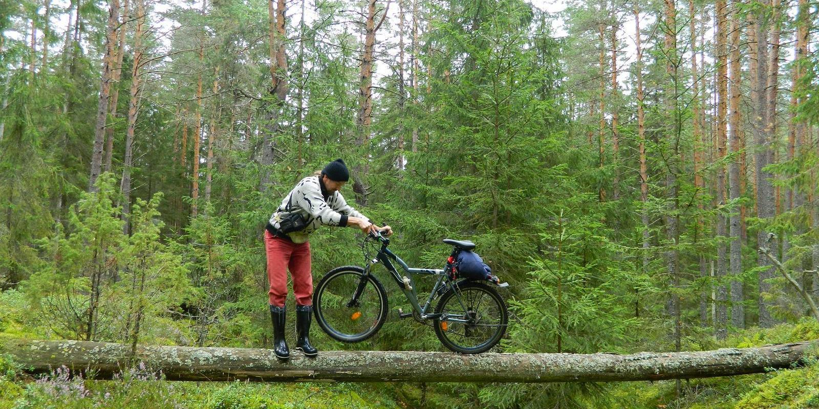
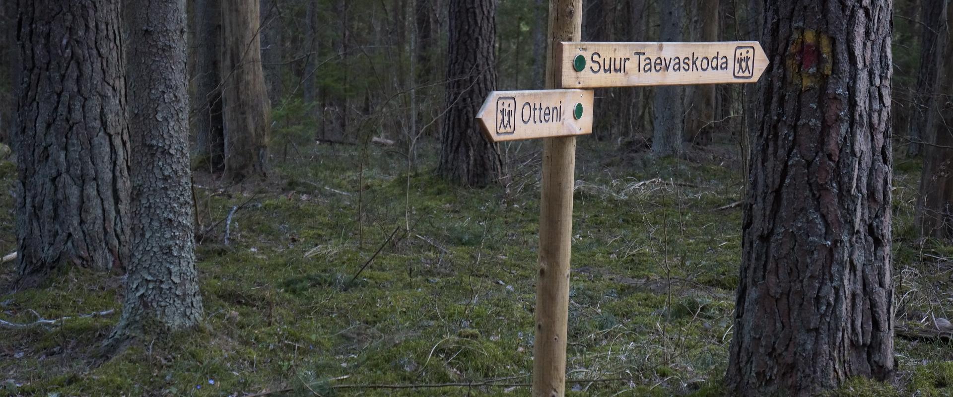
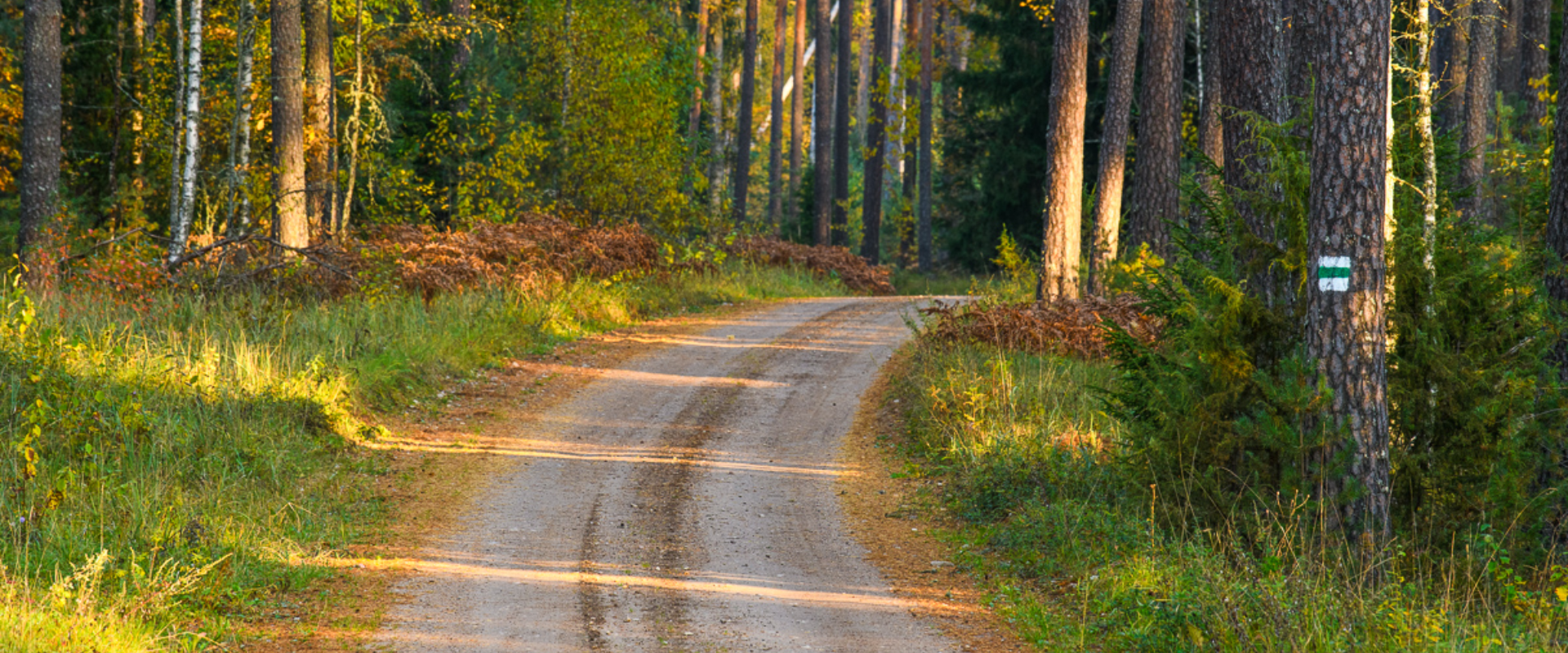
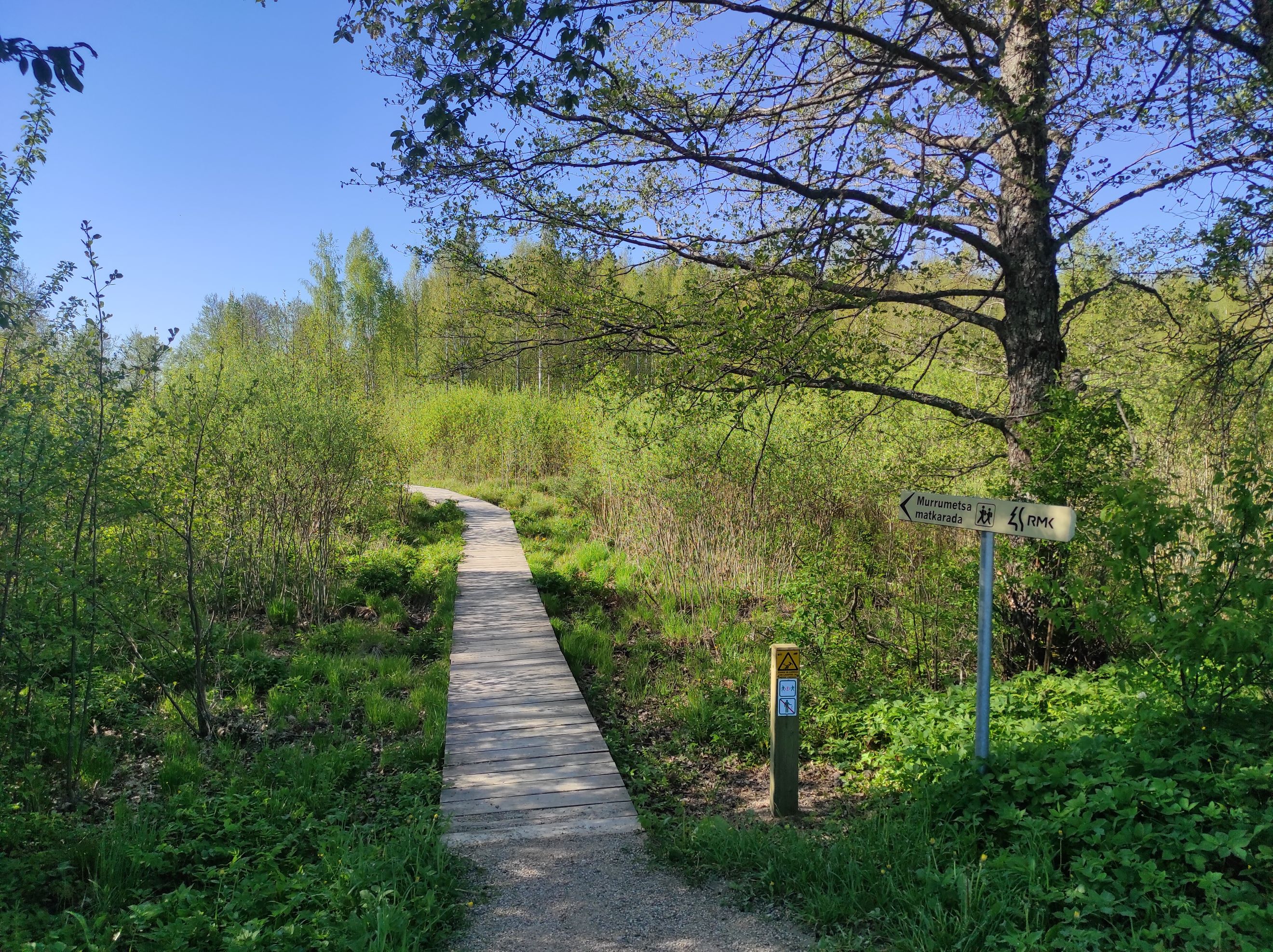
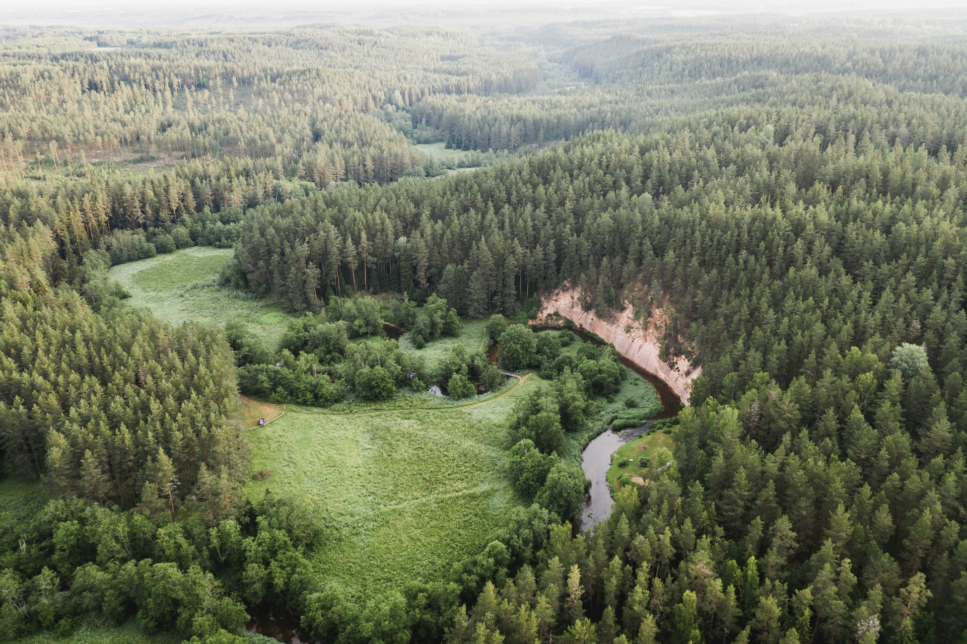
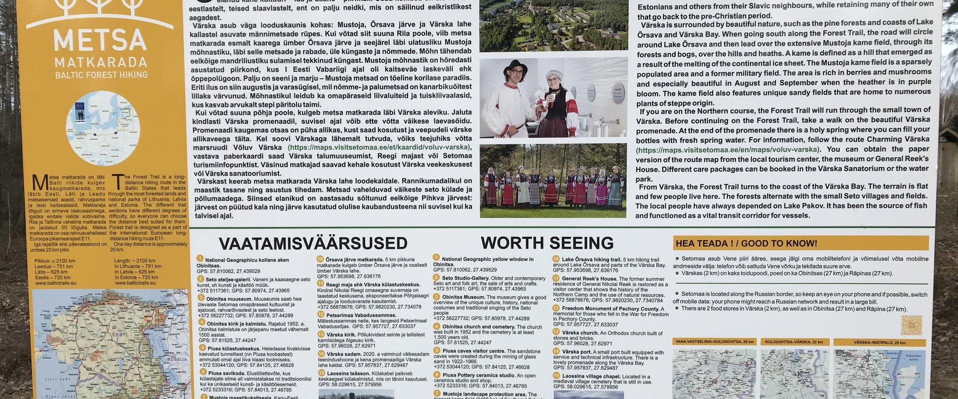
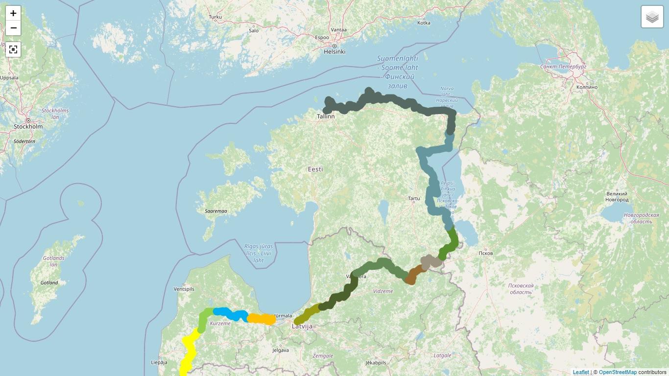
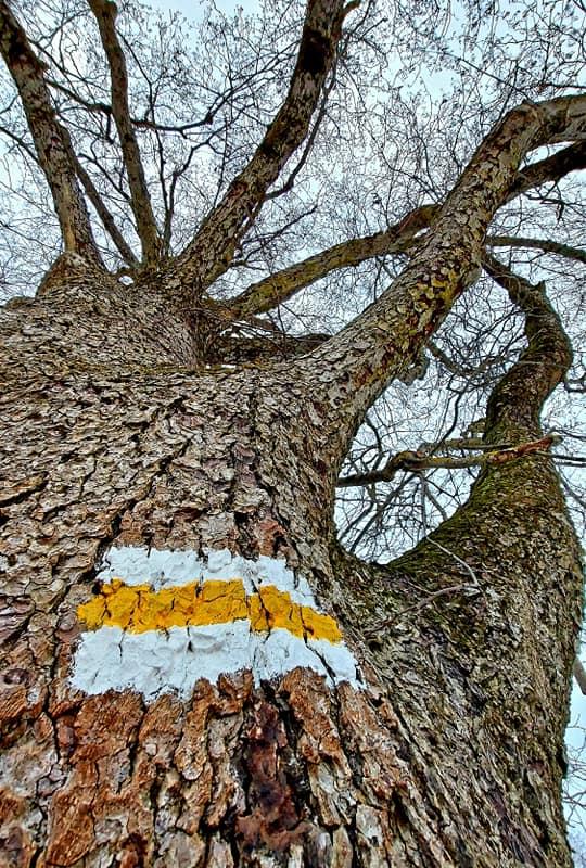
The Baltic Forest Trail is a hiking trail over 2,000 km long running through the Baltic States, of which 720 km are available for hiking in Estonia. The trail is divided into 50 one-day sections, each approximately 20 km long and marked with signposts. The trail sections have different difficulty levels so everyone can choose the most suitable one for themselves!
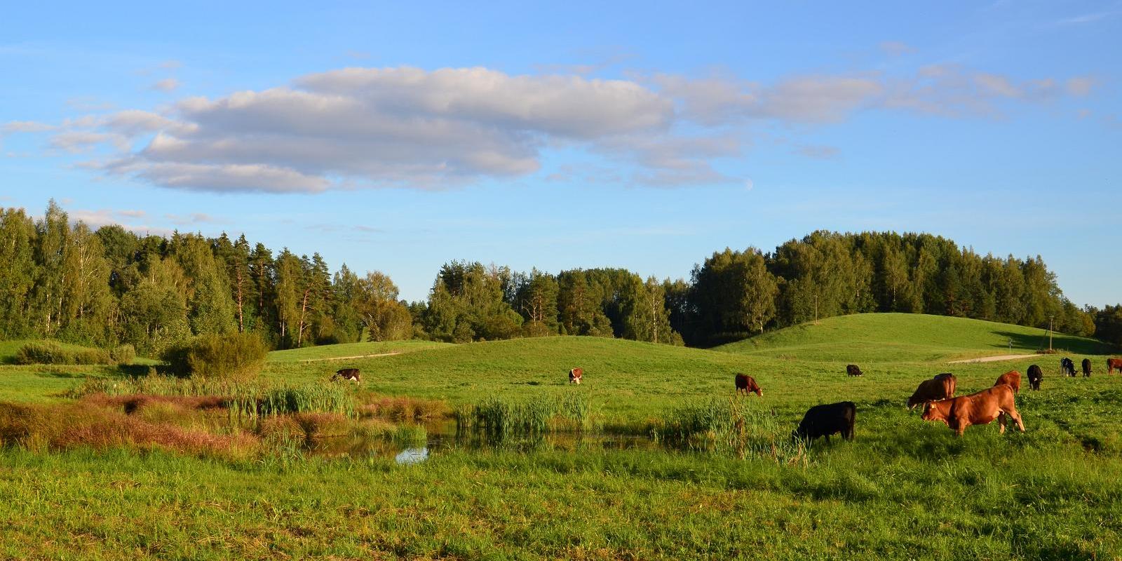
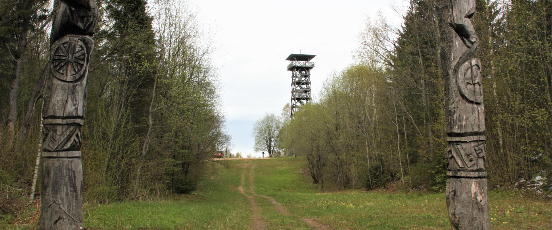
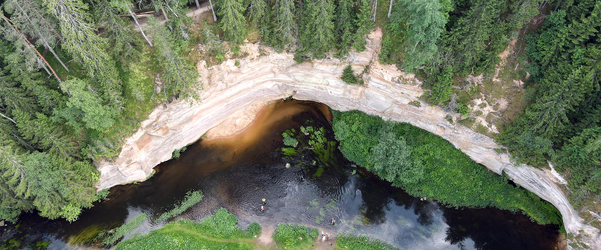
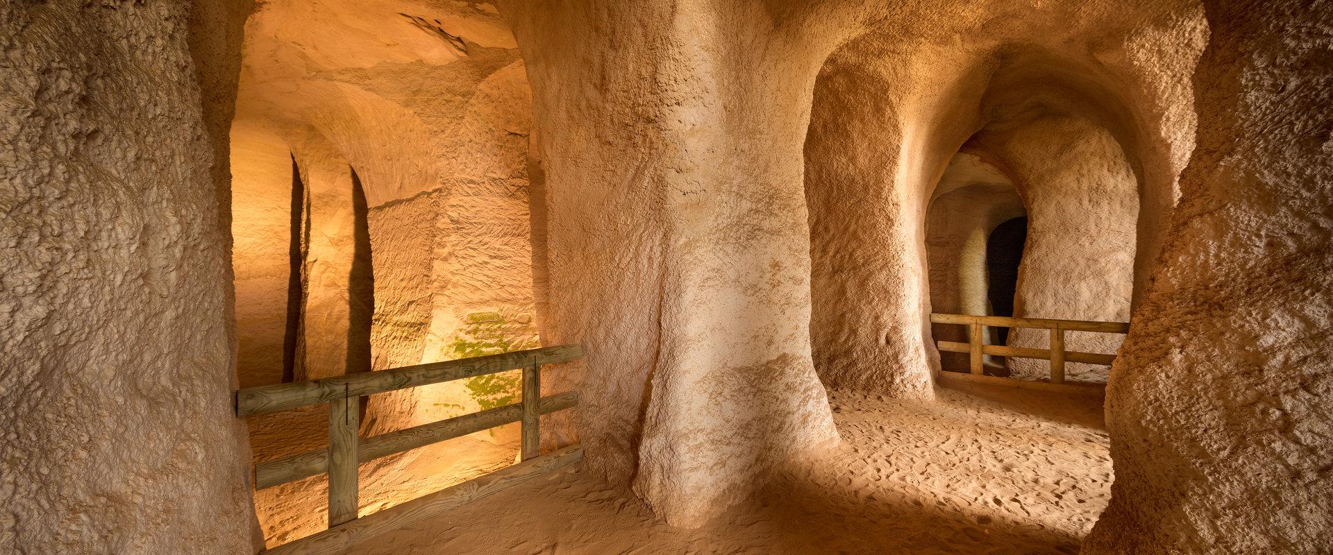
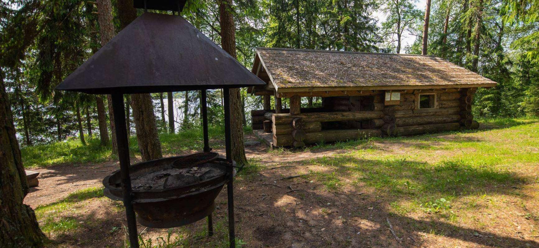
The hiking trail passes through forested areas and two national parks, Lahemaa and Alustaguse National Parks. Along the way, you can observe trees of different species and places connected to historical events or legends. The trail is well-suited for bird and animal watching.
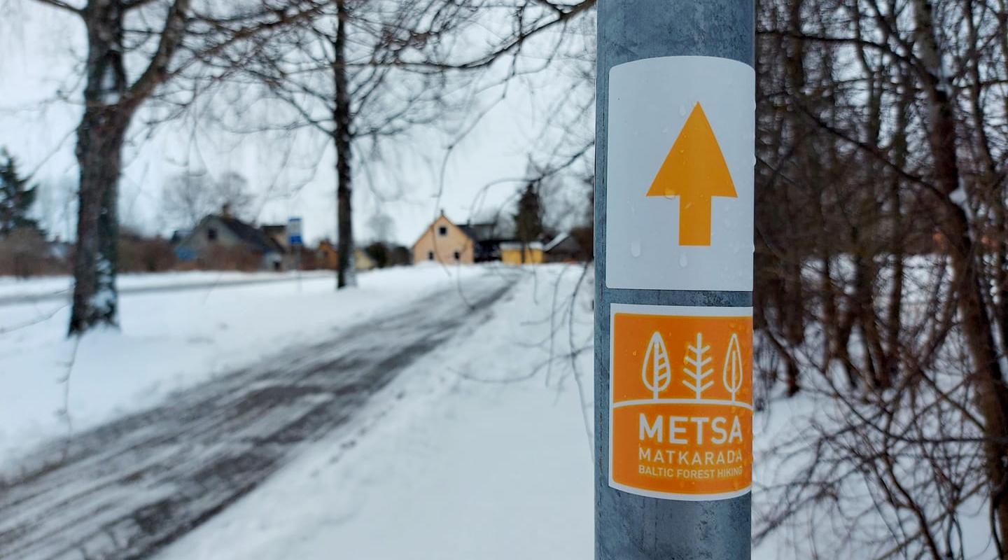
The Baltic Forest Trail is part of the international European long-distance trail E11.

Mugavused

  • Information boards

Lahtiolekuajad

Aastaringselt

Ööpäevaringselt

Kontakt

  • +372 5682 1268
  • turism@setomaa.ee

Lingid

baltictrails.eu

Vaata lisaks

  • Hiking Trails

RMK forest study trail at Pähni Nature Centre

The 2.8 km Pähni forest trail starts and ends at the Pähni Nature Centre.The trail starts with an information board with introductory text, later on you have to follow the signs.There are 15 points of interest on the trail with information on different types of forests, species of trees and evidence of cultural heritage and animal activity. There is also a fire pit and shelters (4) where you can relax and take a break. The trail is partially covered with a wooden boardwalk (200 m).

  • Camping sites
  • Hiking Trails

Piusa River valley hiking trail

The total length of the hiking trail in the primeval valley of the Piusa River is 15 km from the ruins of the Vastseliina Episcopal Castle to Lindora or vice versa. You can take the trail on foot, but parts of it are also passable either by bike or car. The highlights of the reserve are the tall Devonian sandstone outcrops – the tallest of them is the wall of Härma Mäemine or the Keldre Wall (total height 43 m, length 150 m). There are two camping sites – under the Make Wall on the first third of the trail and under the Härma Lower Wall towards the end of the trail.The object is not lighted, which is why we recommend to visit it during the day.

  • Hiking Trails

Karula National Park and the visitor centre by the Lake Ähijärv

Karula National Park is Estonia's smallest national park, characterized by a hilly landscape rich in lakes, with 60 lakes on the highland. The national park is open to everyone: families, backpackers, and nature enthusiasts, offering various opportunities for relaxation and hiking. At the visitor center located by Lake Ähijärv, you can get information about the opportunities available in the national park, and the permanent exhibition there introduces the history, nature, folk culture of the Karula region, as well as the modern lifestyle. The heart of the national park is Lake Ähijärv, which is ideal for boating, swimming, and enjoying nature. Hiking enthusiasts are awaited by well-maintained trails that lead through forests, wooded meadows, and hilly landscapes, offering views unique to Karula. Popular destinations include the Rebäse hiking trail, Lüllemäe observation tower, and Kaika hillocks, which offer a great view of the rolling landscape. The national park has plenty of camping and bonfire sites, as well as natural swimming spots, making it suitable for both day trips and longer vacations.

  • Hiking Trails

Taevaskoja–Otteni–Taevaskoja hiking trail

The hiking trail, which starts from Suur Taevaskoda, runs on the high banks of the Ahja River and on the tracks of the menu film The Last Relic. Suur Taevaskoda, the partially preserved Otten or Valgesoo watermill complex, the two-vaulted Otten mill bridge, and the miniature canyon, which became famous thanks to the film The Last Relic, picturesque views of the Ahja River, and a pit of a forest brothers' bunker can be seen on the hiking trail. The trail is marked with green colour on the trees and signs and there are several information boards on the trail. It is possible to camp and make a campfire at the Otten campfire site. When coming by car, the hike starts from Saesaare car park and therefore, the trail is about 2 km longer.

  • Lookout towers
  • Hiking Trails

Kekkonen hiking track

The Kekkonen hiking track can be used all year round – in summer for hiking, jogging and cycling and in winter for skiing. The track was named after former Finnish president Urho Kaleva Kekkonen, who visited Kääriku. The 15 km track starts from Kääriku stadium and passes through several spots of natural beauty, including Harimägi Hill – one of the highest points in the Otepää Highlands (211.3 m above sea level). Its viewing tower, which stands 26 metres high, is right next to the hiking track. Those with more energy can follow the additional 5 km loop on Harimägi Hill.

  • Hiking Trails
  • Birdwatching

Large and Small Taevaskoda sandstone outcrops

The two Taevaskoda outcrops on the banks of the ancient valley of the Ahja River are one of the most frequently visited sites in southern Estonia. The sandstone outcrops and the ancient river form the most beautiful part of the Ahja River Landscape Reserve. Legends speak of caves, secret passageways and of demons and a mermaid with a golden comb. A walk from the Saesaare dam to the Small Taevaskoda outcrop, the Emaläte spring, the Neitsikoobas cave and the Large Taevaskoda outcrop, which rises 22.5 metres above the river, is worth undertaking in every season. The beautiful and exciting natural setting attracts hikers – it is a place that every Estonian visits at least once in their life!

  • Lookout towers
  • Hiking Trails

Estonian-Latvian joint cultural heritage trail

An exciting hiking trail runs along the banks of the Koiva River, which borders Estonia and Latvia. You can discover points important to both countries' cultural heritage along the trail! The trail is 22 kilometers long, so there and back comes to 44 kilometers. The trail introduces old Estonians' way of life and offers the opportunity to get acquainted with historical heritage in the middle of nature. The trail includes, for example, Taheva Manor, a windmill, the ruins of a hay barn, and ancient trees. There are several campfire sites and camping sites. The trail is signposted and equipped with information boards in Estonian, Latvian, and English, and it can also be completed by bike.

  • Hiking Trails

Murrumetsa Hiking Trail

Murrumetsa Hiking Trail starts from the Pühajärve Manor Park and runs through Murrumetsa forest back to the park. It takes about 1-1.5 hours to pass the 3.5 km track. There are information boards next to the track that give information about the flora and fauna of our forests and cultivated landscapes. The track passes the ancient Pühajärv War Oak (circumference 6.98 m and height 22 m) and the commemorative stone to mark the Pühajärv War of 1841, which can be found among the oaks of Murrumets Forest. There are also rest areas and fire sites by the trail.

  • Privacy Policy

"*"обозначает обязательные поля

Это поле используется для проверочных целей, его следует оставить без изменений.
Я разрешаю маркетинг