• Avasta
    • Еда
    • Природа
    • Культура
    • Семья
    • Спорт
    • Сообщество
    • Блог
  • Planeeri
    • Размещение
    • Информация
    • Varamu
RUS
  • РусскийRUS
  • EestiEST
  • EnglishENG
  • LatviešuLAT
  • SuomiFIN
RUS
  • РусскийRUS
  • EestiEST
  • EnglishENG
  • LatviešuLAT
  • SuomiFIN
Populaarsed otsingud:
Näita kõiki tulemusi
  • Nature and Activities
  • Nature
  • Hiking Trails

RMK forest study trail at Pähni Nature Centre

Rõuge vald, Võru maakond, 66116

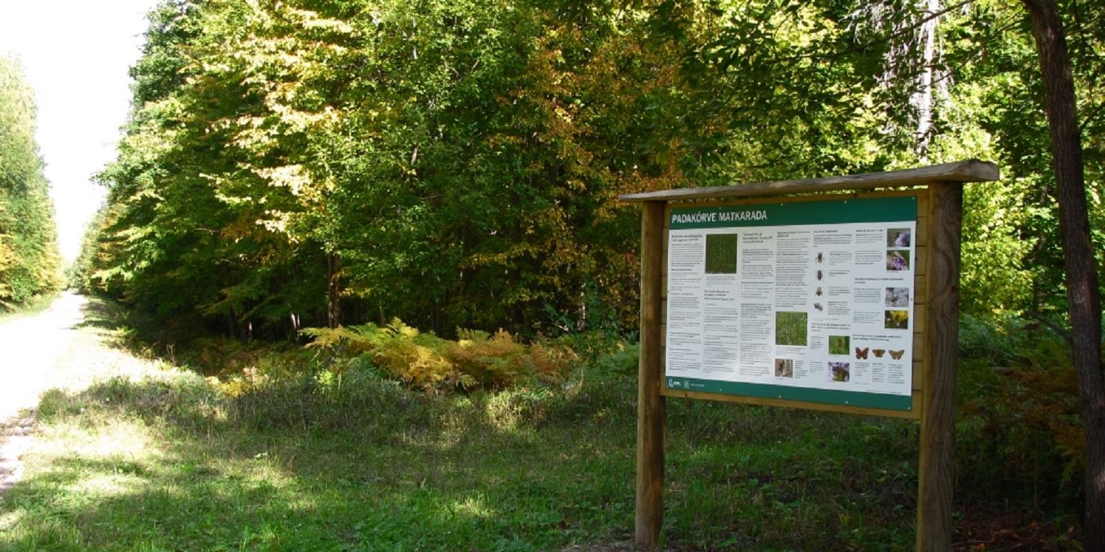
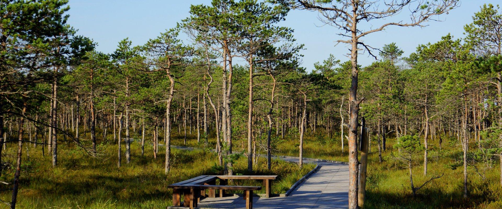
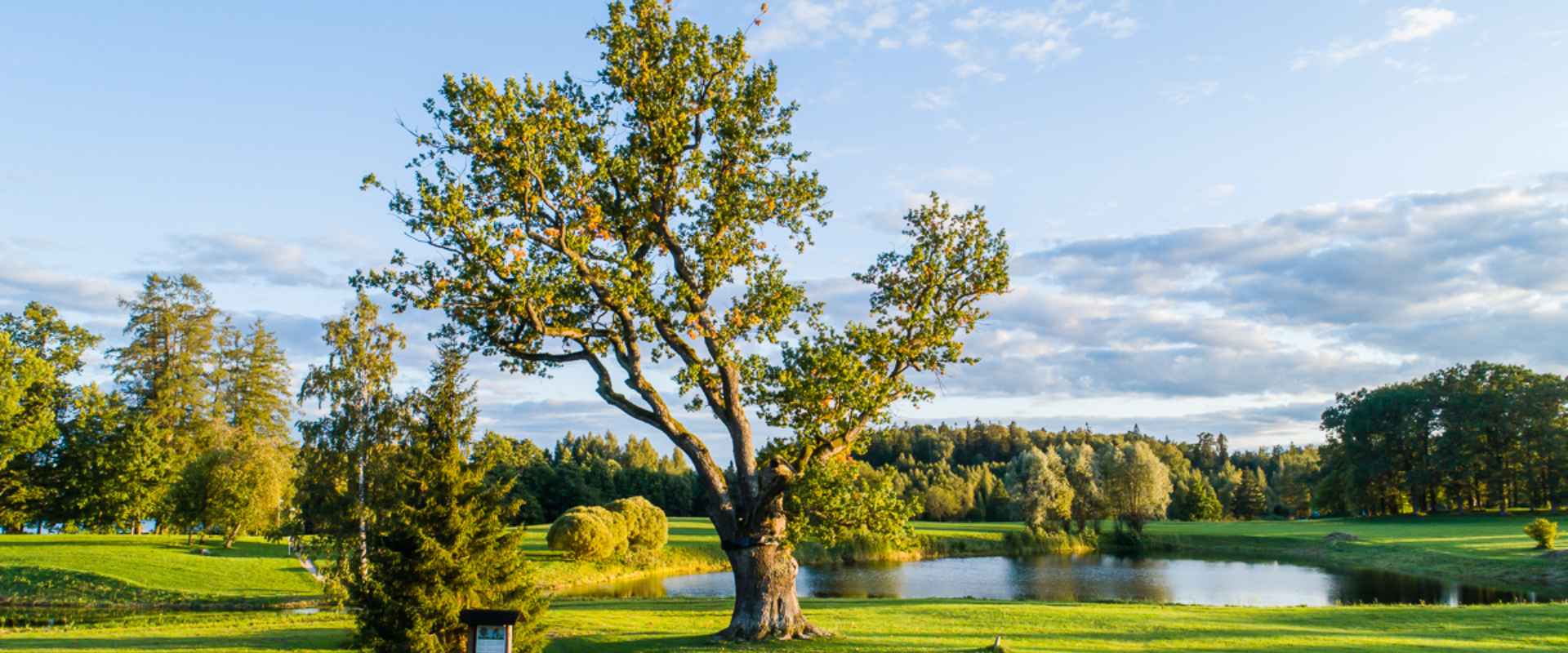
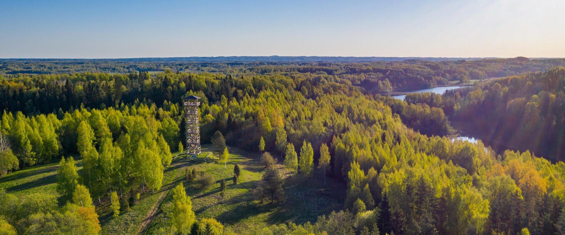
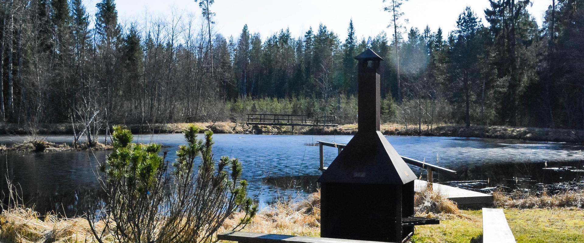
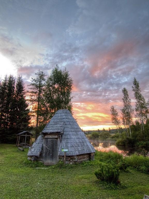
The 2.8 km Pähni forest trail starts and ends at the Pähni Nature Centre.The trail starts with an information board with introductory text, later on you have to follow the signs.There are 15 points of interest on the trail with information on different types of forests, species of trees and evidence of cultural heritage and animal activity. There is also a fire pit and shelters (4) where you can relax and take a break. The trail is partially covered with a wooden boardwalk (200 m).  

Mugavused

  • Information boards
  • Drop Toilet
  • Free parking

Lahtiolekuajad

Aastaringselt

Ööpäevaringselt

Kontakt

  • +372 5300 2181
  • info.pahni@rmk.ee

Lingid

loodusegakoos.ee

Vaata lisaks

  • Hiking Trails

Padakõrve Hiking Trail

The hiking trail runs along a gravel road in a forest and introduces the life of ants. There are information boards next to the gravel road, as well as signposts near the ant colonies. The trail can also be explored in a vehicle. The 3.6 km trail starts at the information board at the roadside.The hiking trail is located in Padakõrve Nature Reserve. Its most important values include one of the largest populations of Scottish wood ants, diverse forest communities, and a multifaceted landscape. The purpose of the protected area is to protect the Scottish wood ants, as well as other protected species and their habitats, the forest communities, and the Kärgandi kame field.

  • Camping sites
  • Lookout towers
  • Hiking Trails

Meenikunno hiking trail

Cabins for hikers, an observation tower and a boardwalk attract many nature lovers to the Meenikunno bog. It is a beautiful recreation area. While walking down the boardwalk, you can see the most common bog plants: leather leaf, bog rosemary, crowberry, Marsh Labrador tea, and tussock cottongrass; at the edge of the bog, dwarf birches can also be found. There are also a number of different species of peat moss of various colours. The bravest hikers can try drinking bog water (it has an interesting taste!) from the overgrown ditch near the edge of the bog.Good to know: The boardwalk is pram and wheelchair accessible.

  • Hiking Trails

Kütioru hiking trail

The hiking trail starts from the parking area near the Kütiorg Holiday Centre. The trail is diverse, with fairly steep and challenging terrain, so it's recommended to allow four to five hours to complete it. Along the trail, hikers get the best view of Estonia’s largest and most powerful ancient valley – Kütiorg – and can explore old mill sites and other cultural heritage landmarks. In the forested slopes of Kütiorg, there are spruce stands over a hundred years old, as well as exceptionally thick and tall aspen trees. Near the starting point of the trail, there is a campfire site equipped with a grill grate. Good to know: Part of the trail passes through private property, where dogs may roam freely.

  • Hiking Trails

Emajõe river shore path

The 4-km Emajõe river shore path starts from the Turu bridge between River Emajõgi and Anne channel, and it runs on the Natura 2000 protection area and offers spacious views of the Anne channel, River Emajõgi, ship and boat traffic, and Karlova harbour.The hiking trail features information boards, riverside picnic areas, and several bridges, you can also meet hobby fishermen there. During spring, the path may be flooded and provides an opportunity to enjoy the views of the flooded meadow. When the trail ends, you can walk the same way back. Another option is to turn left to the gravel road, which leads to the Ihaste cycling and walking road.

  • Hiking Trails
  • Parks

Pühajärve War Oak

You'll need several people to measure the circumference of the ancient, nearly 400-year-old oak tree towering nearby Lake Pühajärv in Otepää! The trunk of this ancient tree has a circumference of 6.6 meters. It is called the War Oak because it has witnessed many historical events. Apparently, peasants of the Pühajärv Manor refused to work for the manor in autumn 1841 and the rebels were punished near the oak. The Pühajärve War was one of the first peasant uprisings against the landlords in Estonia, and in memory of it, an oak tree was planted nearby, where a memorial stone was erected on the 130th anniversary of the uprising. A beautiful park with walking tracks surrounds the tree today, and although the ancient tree is no longer in its full glory, it stands here to its full dignity, recalling times gone by.

  • Camping sites
  • Lookout towers
  • Hiking Trails

Hiking trails of the Paganamaa Landscape Reserve

there are three different hiking trails with a length of 3.8 km, 4.3 km and 4.7 km in the Paganamaa , just off the Latvian border in plus, there's a gazebo in . All trails begin at the Paganamaa bonfire site, where a beautiful view of Paganamaa nature can be enjoyed from the tower. on the trails, you'll see a mixed forest with a primeval forest appearance and an old Kazik, with Kikkajärv and greater Mudajärv on the road. at the beginning of the hiking trails, there's also a resting place, which is a good place for bonfire making, camping, camping.

  • Family friendly
  • Hiking Trails
  • Beaches

Pühajärve Beach

During the summer season, beautiful Pühajärve Beach awaits you in Otepää with its clean sand, swimming pier, and full-sized outdoor swimming pool. In the summer, the beach has lifeguards, several catering companies, SUP board rentals, and boat rentals offering row boats, canoes, and pedal boats. A special pier and changing room have been built for visitors in wheelchairs. During the winter, a winter swimming pool is open on the beach. Pühajärve Park, which surrounds the beach, invites both young and old to walk along its shady paths. Come to Pühajärve and enjoy a day at the beach!

  • Hiking Trails

A nature study trail in the southernmost point of Estonia

Drive along the Võru-Valga highway from Saru to Kuutsi-Tiitsa-Karisöödi-Ura-Naha (about 14 km). The trail is about 4.8 km long and it takes a couple of hours to walk it through. The trail starts under the oak-tree with a perimeter of about 4 metres in Naha farm and runs very close to the state border, so make sure you take your ID with you. Interesting to know: you cannot put your foot down on the southernmost point, as the geographically correct southernmost point of Estonia is situated about 5 steps away from the marked spot, just in the middle of the Peetri River.

  • Privacy Policy

"*"обозначает обязательные поля

Это поле используется для проверочных целей, его следует оставить без изменений.
Я разрешаю маркетинг