• Avasta
    • Еда
    • Природа
    • Культура
    • Семья
    • Спорт
    • Сообщество
    • Блог
  • Planeeri
    • Размещение
    • Информация
    • Varamu
RUS
  • РусскийRUS
  • EestiEST
  • EnglishENG
  • LatviešuLAT
  • SuomiFIN
RUS
  • РусскийRUS
  • EestiEST
  • EnglishENG
  • LatviešuLAT
  • SuomiFIN
Populaarsed otsingud:
Näita kõiki tulemusi
  • Nature and Activities
  • Nature
  • Hiking Trails
  • Birdwatching

Large and Small Taevaskoda sandstone outcrops

Põlva vald, Põlva maakond, 63229

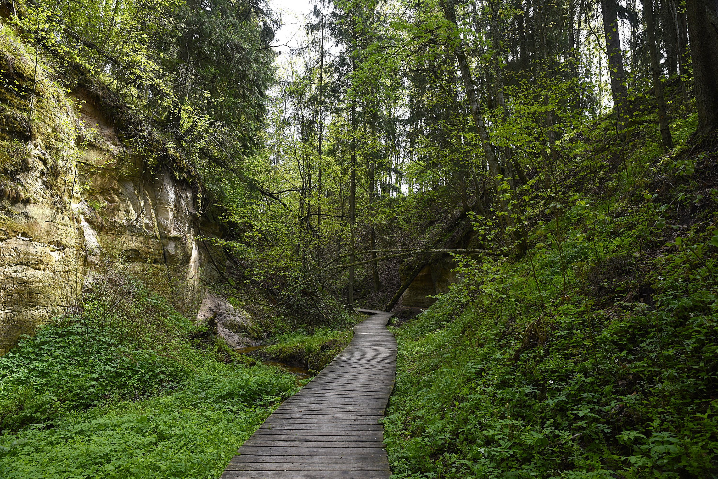
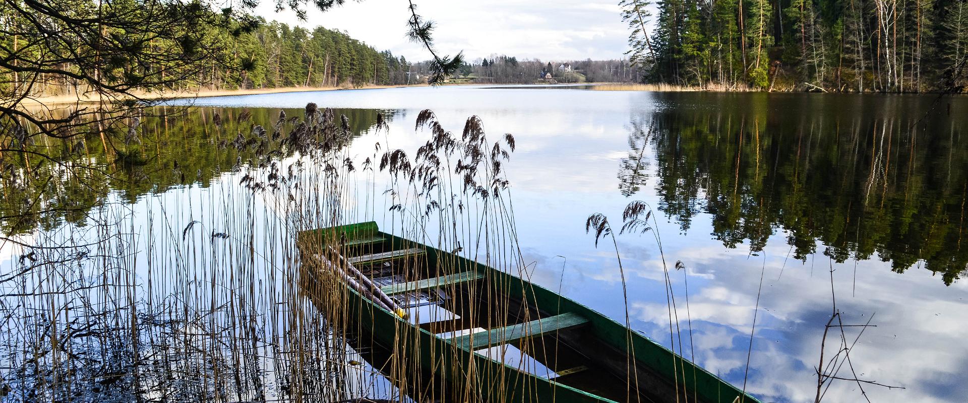
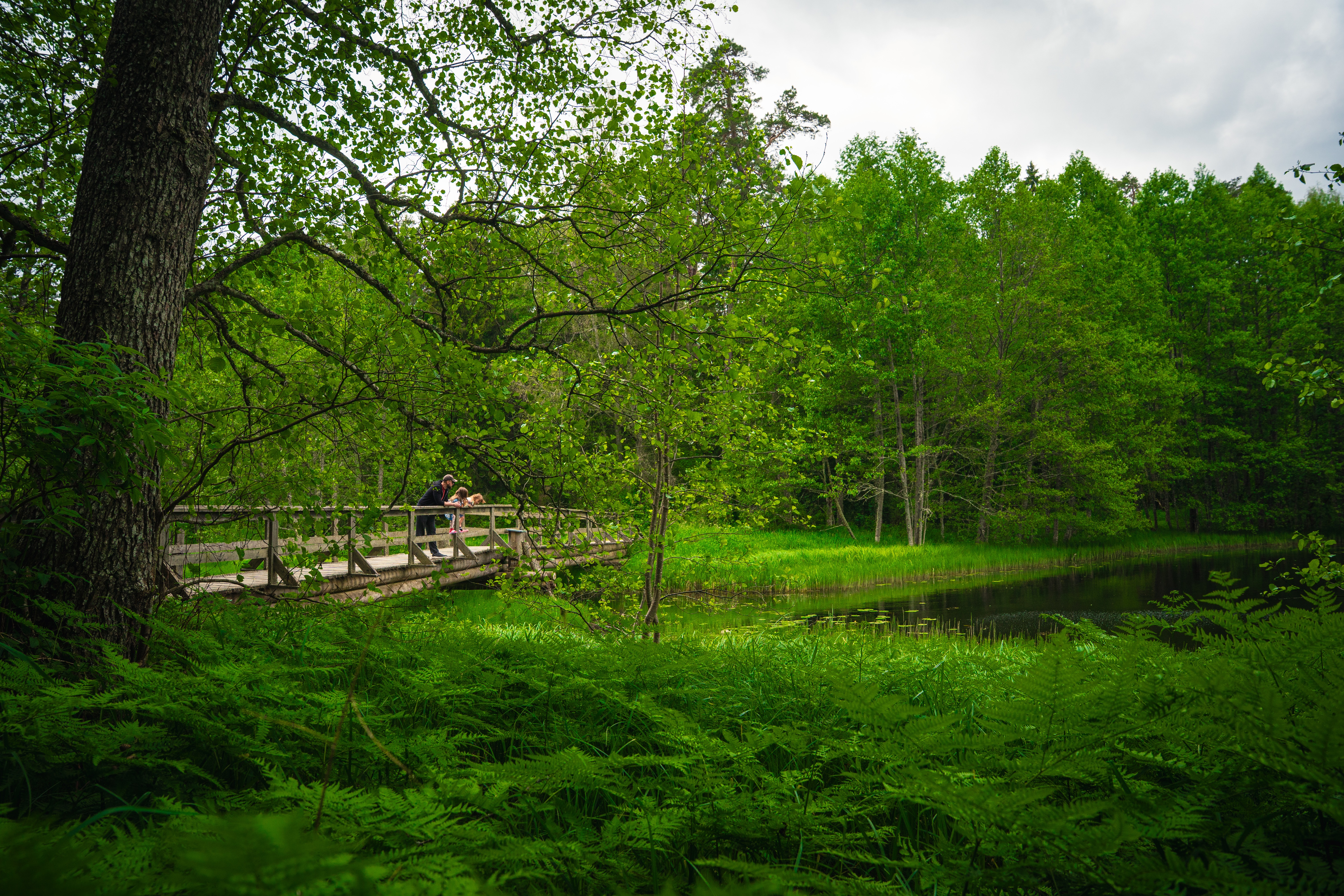
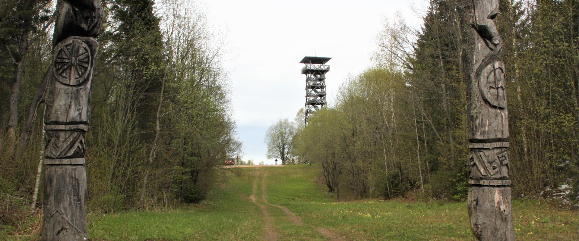
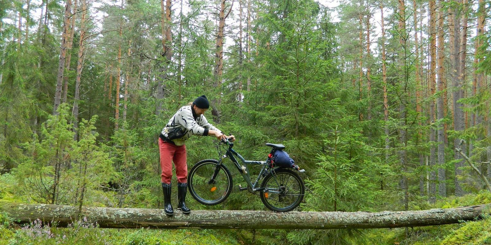
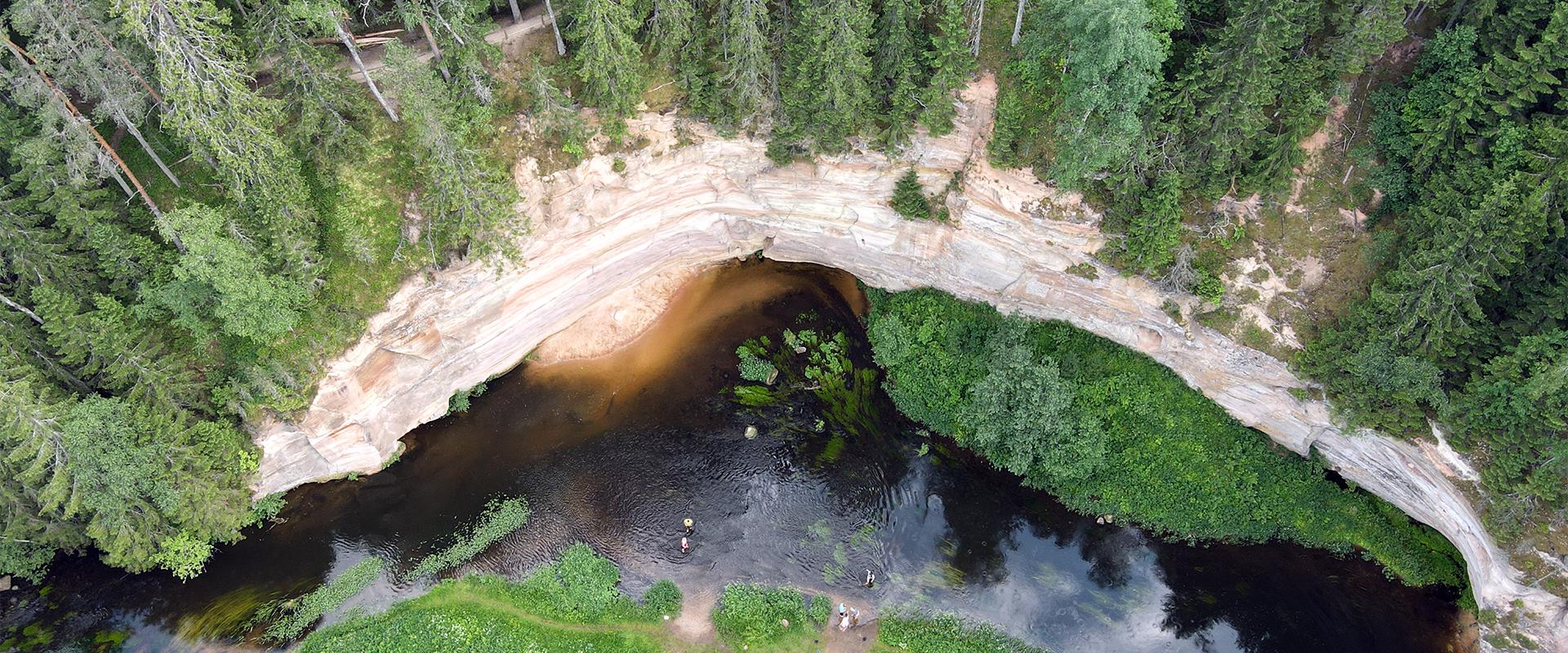
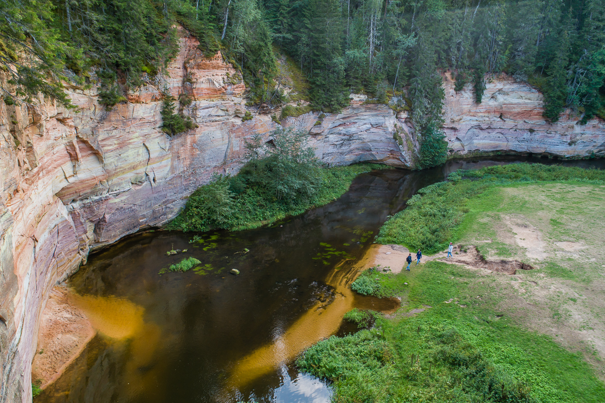
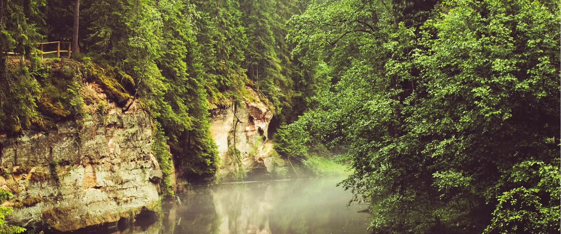
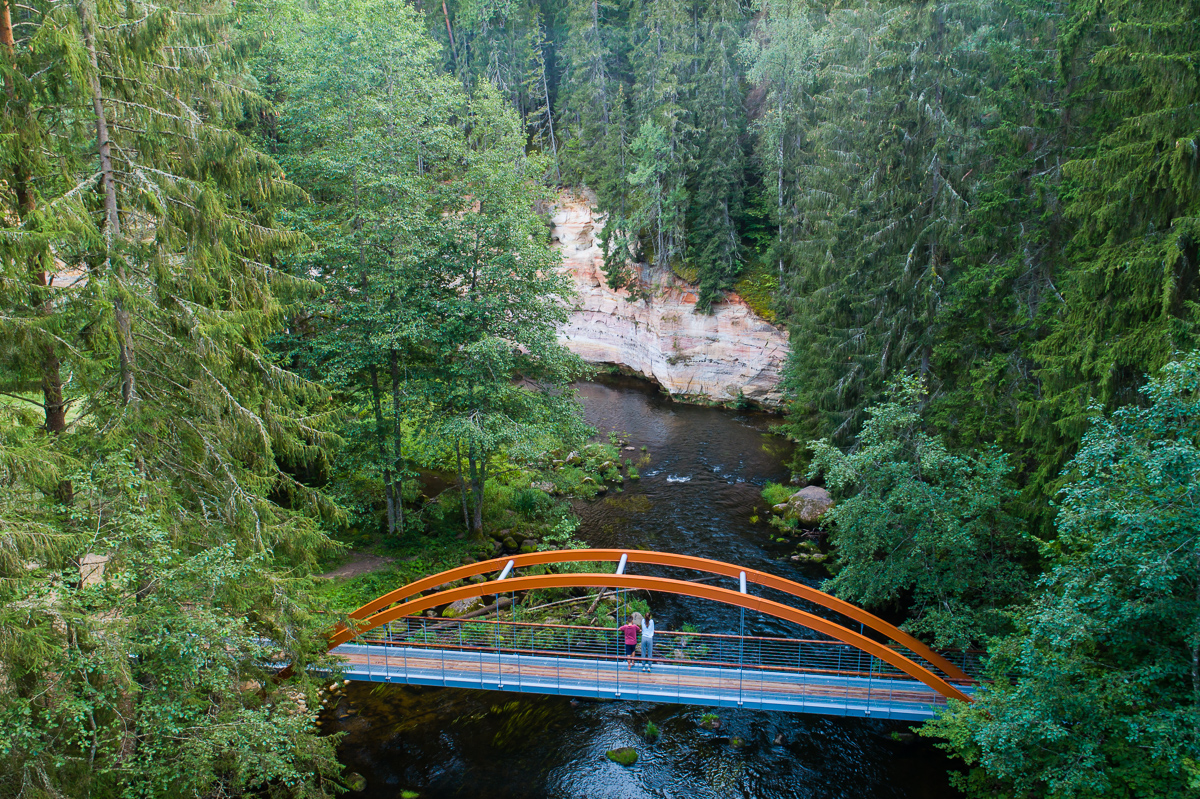
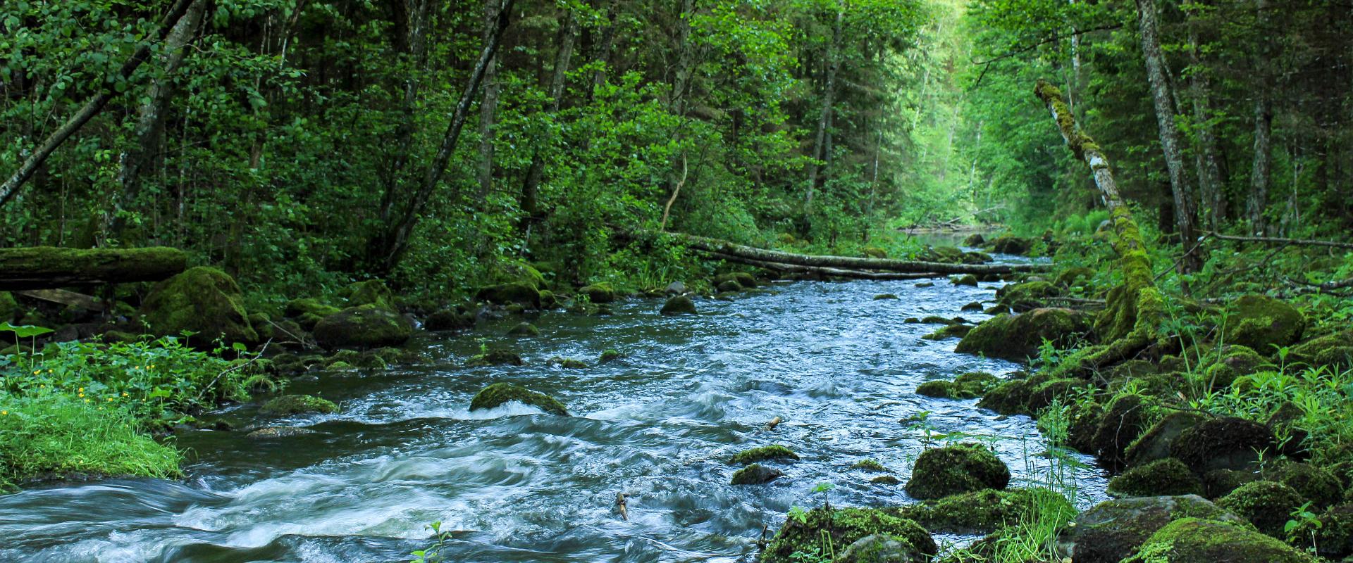
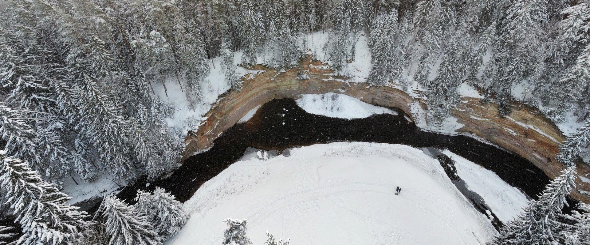
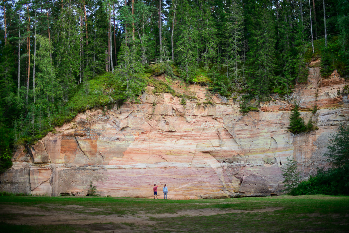
The two Taevaskoda outcrops on the banks of the ancient valley of the Ahja River are one of the most frequently visited sites in southern Estonia. The sandstone outcrops and the ancient river form the most beautiful part of the Ahja River Landscape Reserve.
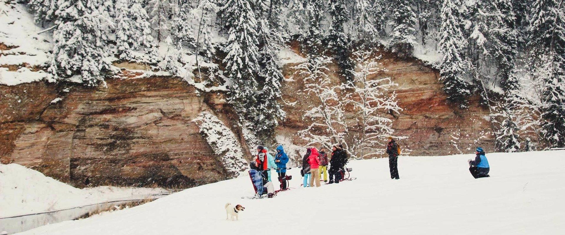
Legends speak of caves, secret passageways and of demons and a mermaid with a golden comb. A walk from the Saesaare dam to the Small Taevaskoda outcrop, the Emaläte spring, the Neitsikoobas cave and the Large Taevaskoda outcrop, which rises 22.5 metres above the river, is worth undertaking in every season.
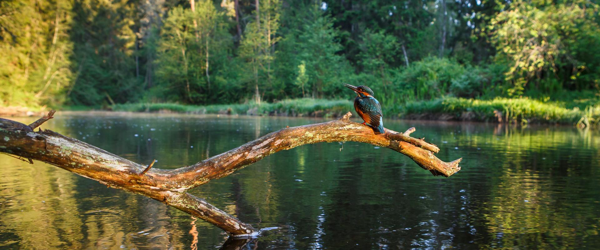
The beautiful and exciting natural setting attracts hikers – it is a place that every Estonian visits at least once in their life!
 

Mugavused

  • Information boards
  • Drop Toilet
  • Free parking

Lahtiolekuajad

1. apr - 31. okt

Ööpäevaringselt

Kontakt

  • +372 676 7122
  • info.kiidjarve@rmk.ee

Lingid

rmk.ee

Vaata lisaks

  • Hiking Trails

Wood Ants’ Trail of Kiidjärve

Among the approximately 1 km study trail introducing the life of wood ants, the hiker can feel like a giant in the minuscule world of ants. In an area of 20 hectares there are 200 ant hills, the biggest of which is 1.7 m high; you can also admire the record-high spruce (42 m). The trail has signs, information boards, and bridges crossing ant highways.The trail is for walking only. While hiking on the trail near ant hills, use only the bridges installed there. The Laari forest study trail starts on the other side of the railway.The civilisation of ants offers an experience for both children and adults.

  • Hiking Trails

Alatskivi Hiking Trail

The 4.5 km long trail around Lake Lossijärv with its varied terrain and beautiful views offers visitors plenty of excitement and sights at any time of year.The trail starts at Alatskivi or by the Bed of Kalevipoeg. Alatskivi Castle and Castle Park, Hirveaed Garden, Sheep Bridge, Bed of Kalevipoeg, Lake Veskijärv, and Lake Lossijärv are all along the trail. There are two large information boards on the trail, log stairs in the Bed of Kalevipoeg, two bridges, signs, and small information boards that introduce the objects found in the protected area.

  • Hiking Trails

Hinni canyon

Hinni Canyon is located in the special protection zone of Haanja Nature Park and is a unique canyon valley in all of Estonia. Hinni Canyon has cut into Devonian era sandstone. It is a 15-20 m deep and 300 m long ravine with steep slopes, at the bottom of which flows the fast-flowing Enni stream. When visiting Hinni Canyon, it is worth considering that here you can experience the true power of nature: the sandstone cuts through the landscape, deep in a transverse direction, the slopes rise around – this is a rare and visually impactful place in Estonia. The trail at the bottom of the valley runs alongside the stream. Enni stream flows quickly and adds the sound of water and fresh air to the adventure. Moreover, in the outcrops, you can notice indentations, smaller caves, and more secluded inner cuts, creating a mystical feeling. From a nature conservation standpoint, it is important that this place is located in the special protection zone.Good to know: there is no additional lighting at the site, so it is best visited during the day. Since Hinni Canyon is partially located on private land, walking with dogs is not allowed!

  • Hiking Trails

Selli-Sillaotsa study trail

If you want a break from the hustle and bustle of the city, head to the beautiful, untouched nature of the Selli-Sillaotsa educational trail. Trail is located in the Alam-Pedja nature reserve, 30 minutes by car from Tartu. The well-marked trail, winding over a bog, through the forest, and on a gravel road, with plenty of information boards, is flat and easy to navigate. From the 12 m high Suuretüki observation tower built of massive logs, you can enjoy beautiful views of the bog in any season! If you find yourself on the trail at the right time of year, you can treat yourself to edible berries, such as blueberries, blackberries, and cranberries.

  • Hiking Trails

Lake Verijärv nature studies trail

Lake Verijärv nature studies trail is around 1 km long and has 9 information boards showcasing plants, trees, bushes, birds and animals. The trail runs through the Lake Verijärv ancient valley and wood. There are signs along the trail as well as three barbecue areas with benches.There are various legends about Lake Verijärv. It is said that the lake got its name centuries ago when slaves were punished in the old cellar that stood on the shore and their blood turned the water red. Another legend speaks of the nasty lord of Kasaritsa Manor, who was drowned by his coachman with his carriage and horses while driving home one night.

  • Camping sites
  • Hiking Trails

Soontaga hiking trail

The Soontaga hiking trail is located at Kiidjärve-Kooraste recreation area. The hiking trail runs along the typical Southern Estonian mixed forests and arrives at the Väike-Emajõgi river. The hiking trail, which can be completed on foot, runs in a circle.There are several information boards at the hiking trail, which describe the nature of the area. The beautiful bodies of water at the hiking trail are equipped with bridges. In addition to the hiking trail there is the Soontaga campsite with campfire places at the recreation area.If you visit the hiking trail during the season, you might find forest berries or mushrooms on our journey.

  • Lookout towers
  • Hiking Trails

Kekkonen hiking track

The Kekkonen hiking track can be used all year round – in summer for hiking, jogging and cycling and in winter for skiing. The track was named after former Finnish president Urho Kaleva Kekkonen, who visited Kääriku. The 15 km track starts from Kääriku stadium and passes through several spots of natural beauty, including Harimägi Hill – one of the highest points in the Otepää Highlands (211.3 m above sea level). Its viewing tower, which stands 26 metres high, is right next to the hiking track. Those with more energy can follow the additional 5 km loop on Harimägi Hill.

  • Camping sites
  • Hiking Trails

Piusa River valley hiking trail

The total length of the hiking trail in the primeval valley of the Piusa River is 15 km from the ruins of the Vastseliina Episcopal Castle to Lindora or vice versa. You can take the trail on foot, but parts of it are also passable either by bike or car. The highlights of the reserve are the tall Devonian sandstone outcrops – the tallest of them is the wall of Härma Mäemine or the Keldre Wall (total height 43 m, length 150 m). There are two camping sites – under the Make Wall on the first third of the trail and under the Härma Lower Wall towards the end of the trail.The object is not lighted, which is why we recommend to visit it during the day.

  • Privacy Policy

"*"обозначает обязательные поля

Это поле используется для проверочных целей, его следует оставить без изменений.
Я разрешаю маркетинг