• Avasta
    • Еда
    • Природа
    • Культура
    • Семья
    • Спорт
    • Сообщество
    • Блог
  • Planeeri
    • Размещение
    • Информация
    • Varamu
RUS
  • РусскийRUS
  • EestiEST
  • EnglishENG
  • LatviešuLAT
  • SuomiFIN
RUS
  • РусскийRUS
  • EestiEST
  • EnglishENG
  • LatviešuLAT
  • SuomiFIN
Populaarsed otsingud:
Näita kõiki tulemusi
  • Nature
  • Nature and Activities
  • Hiking Trails

Hiking trail in the Rõuge Primeval Valley

Rõuge vald, Võru maakond, 66298

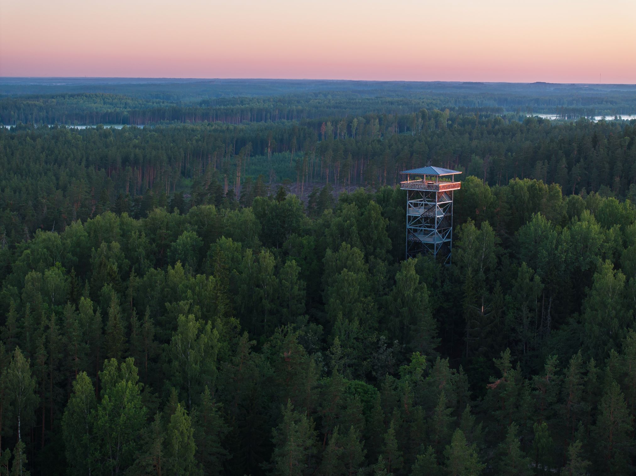
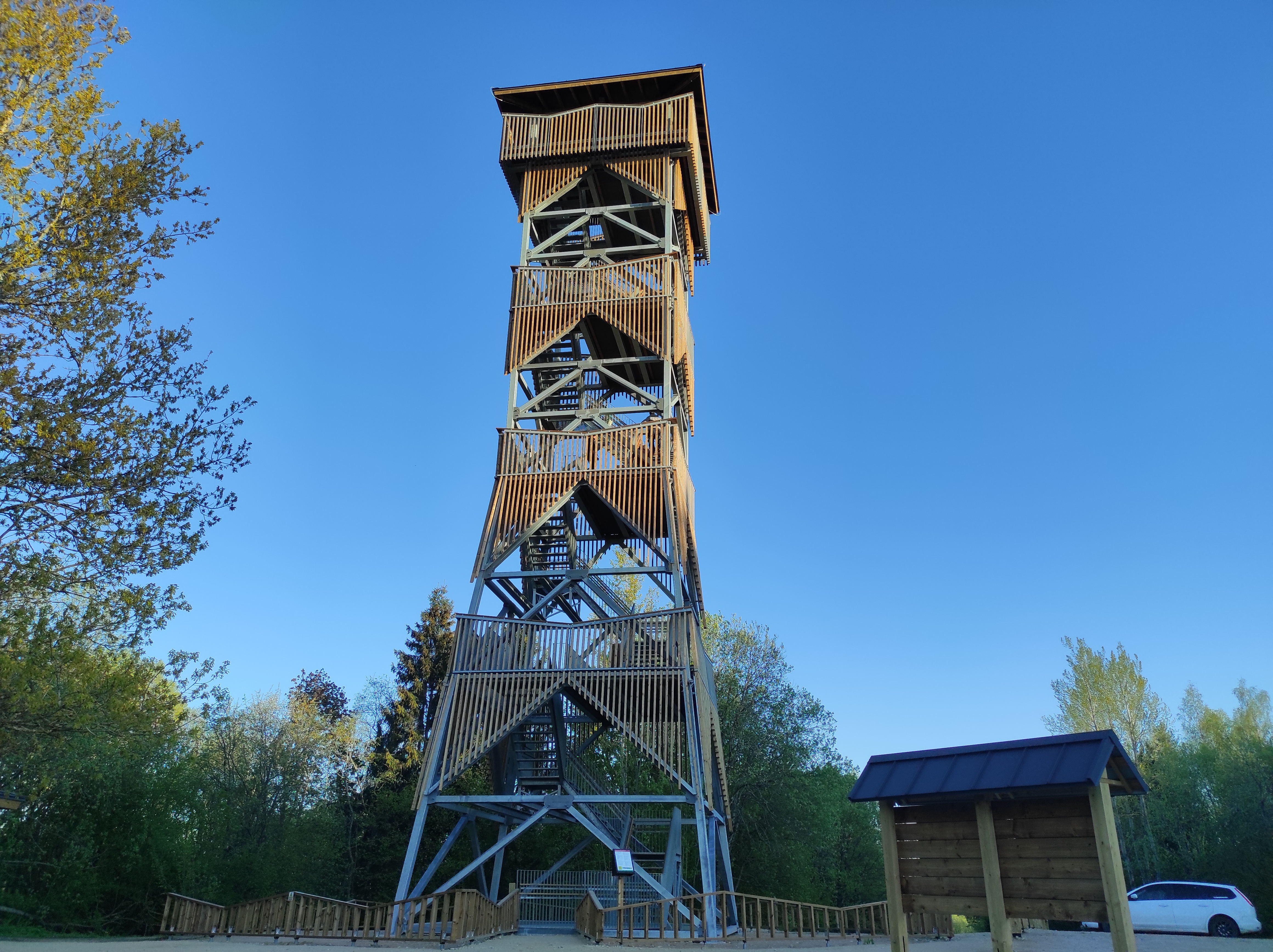
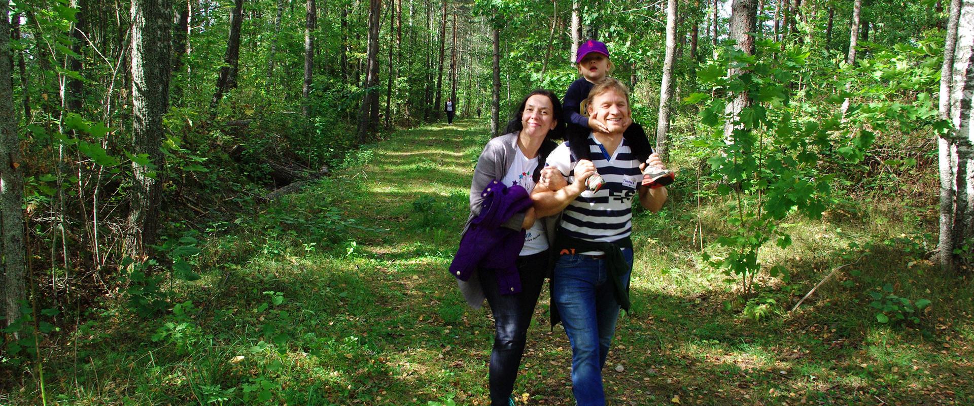
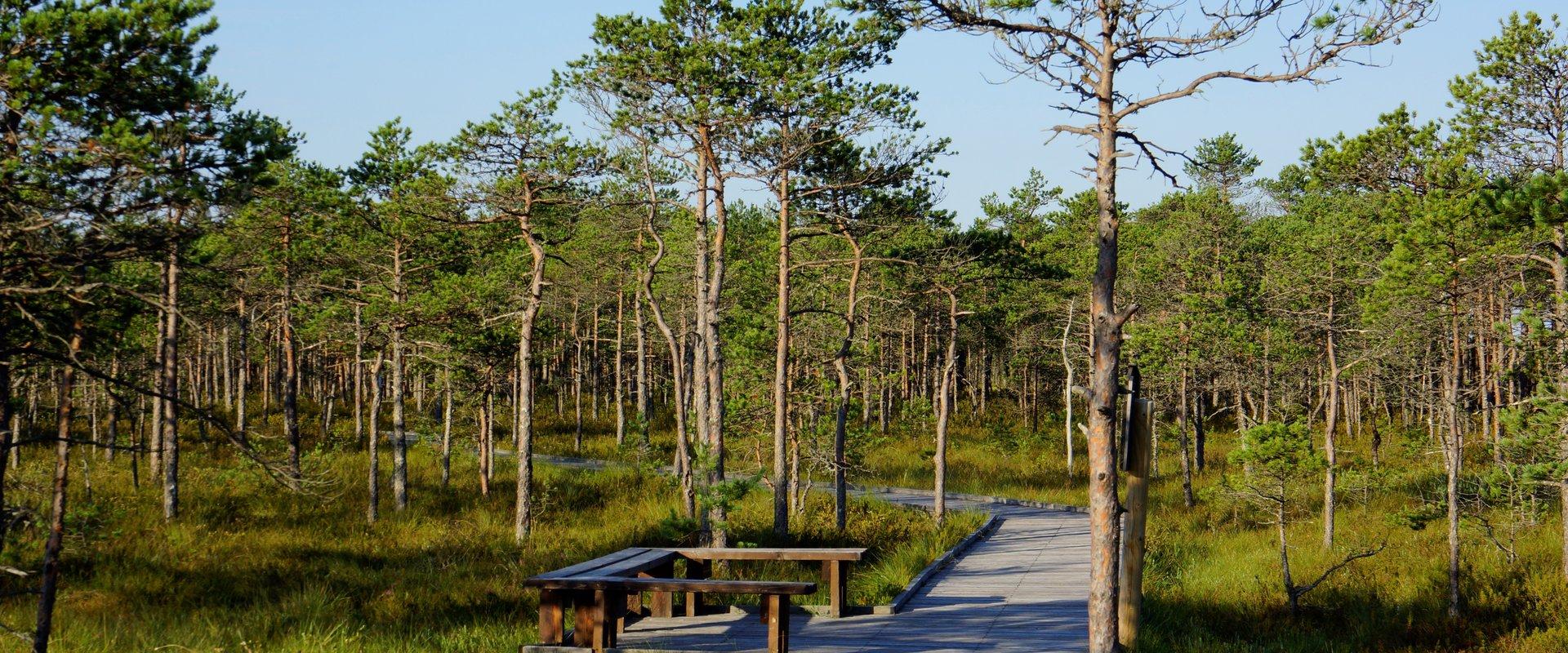
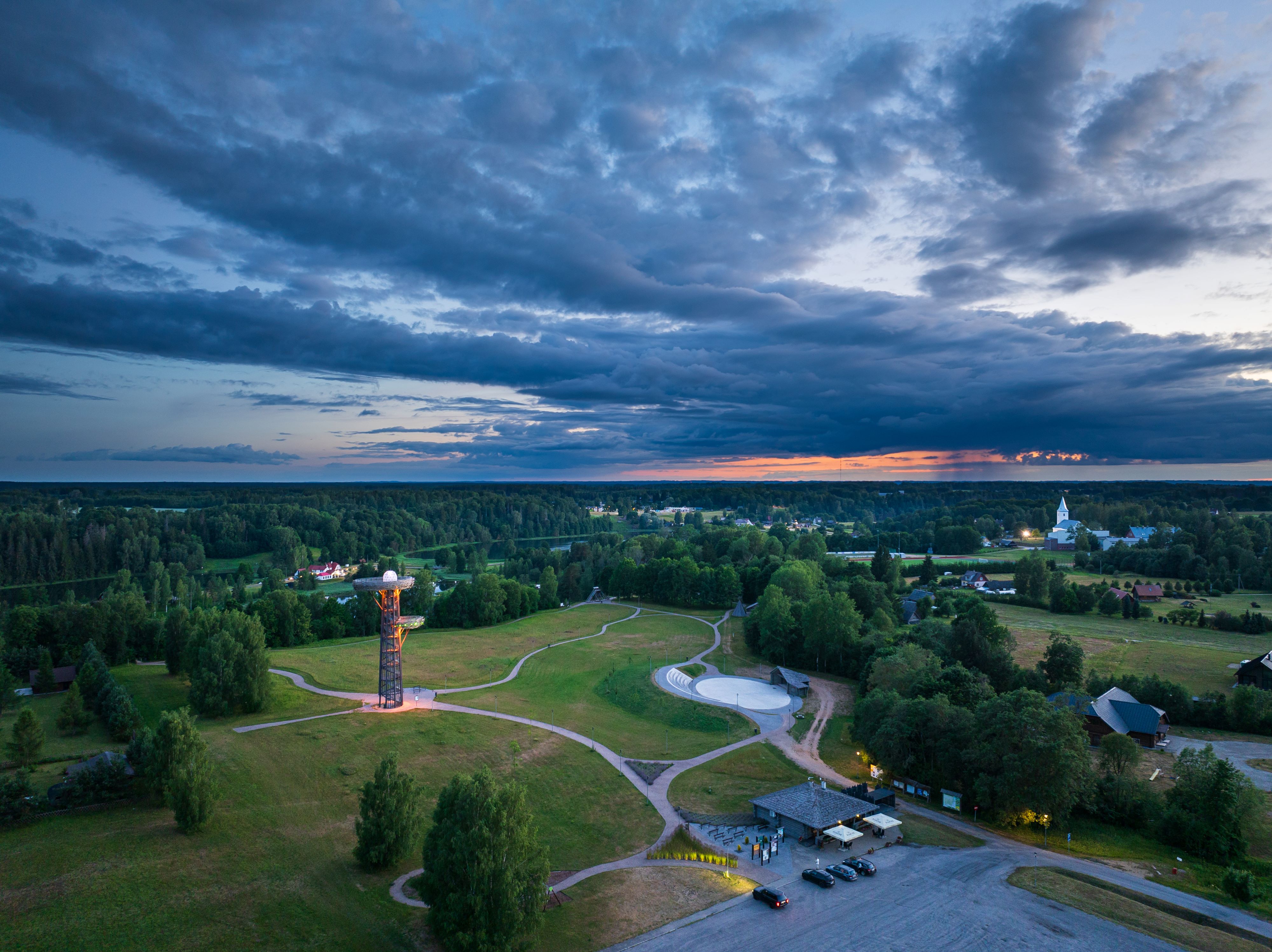
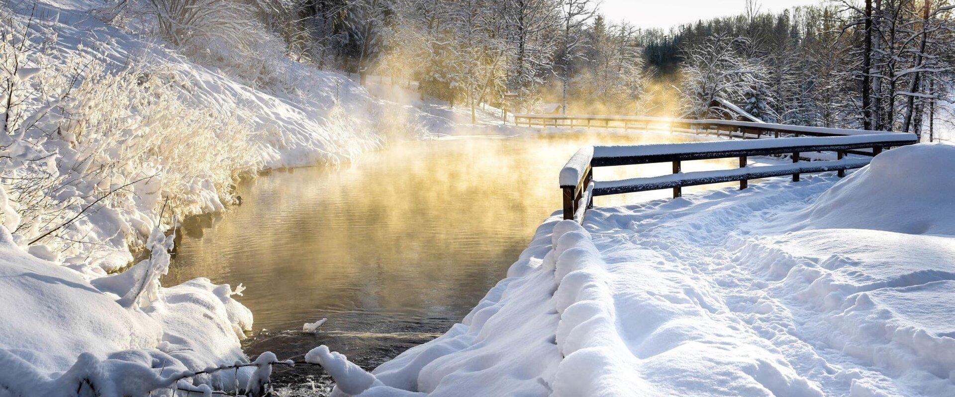
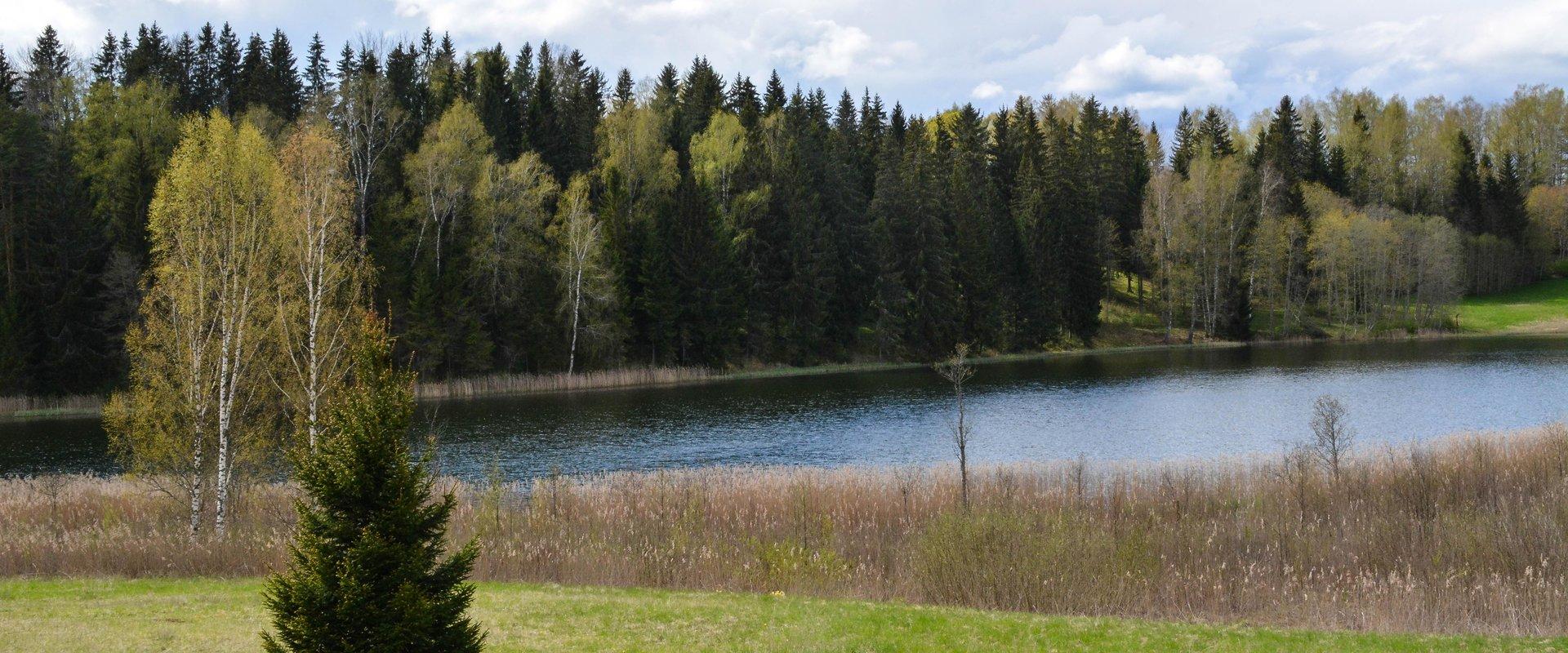
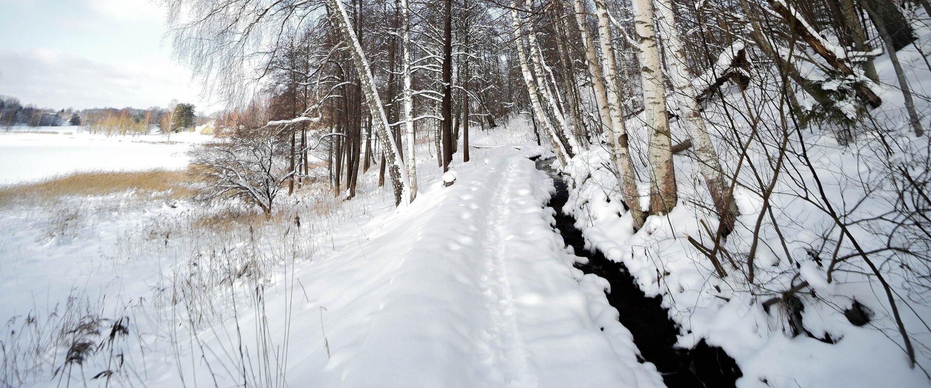
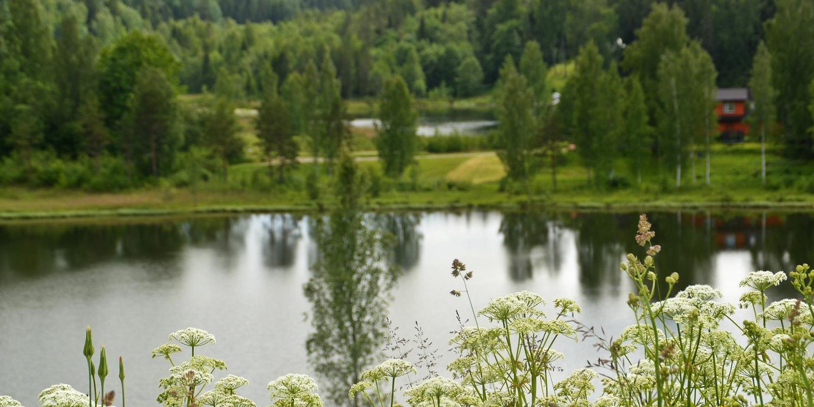
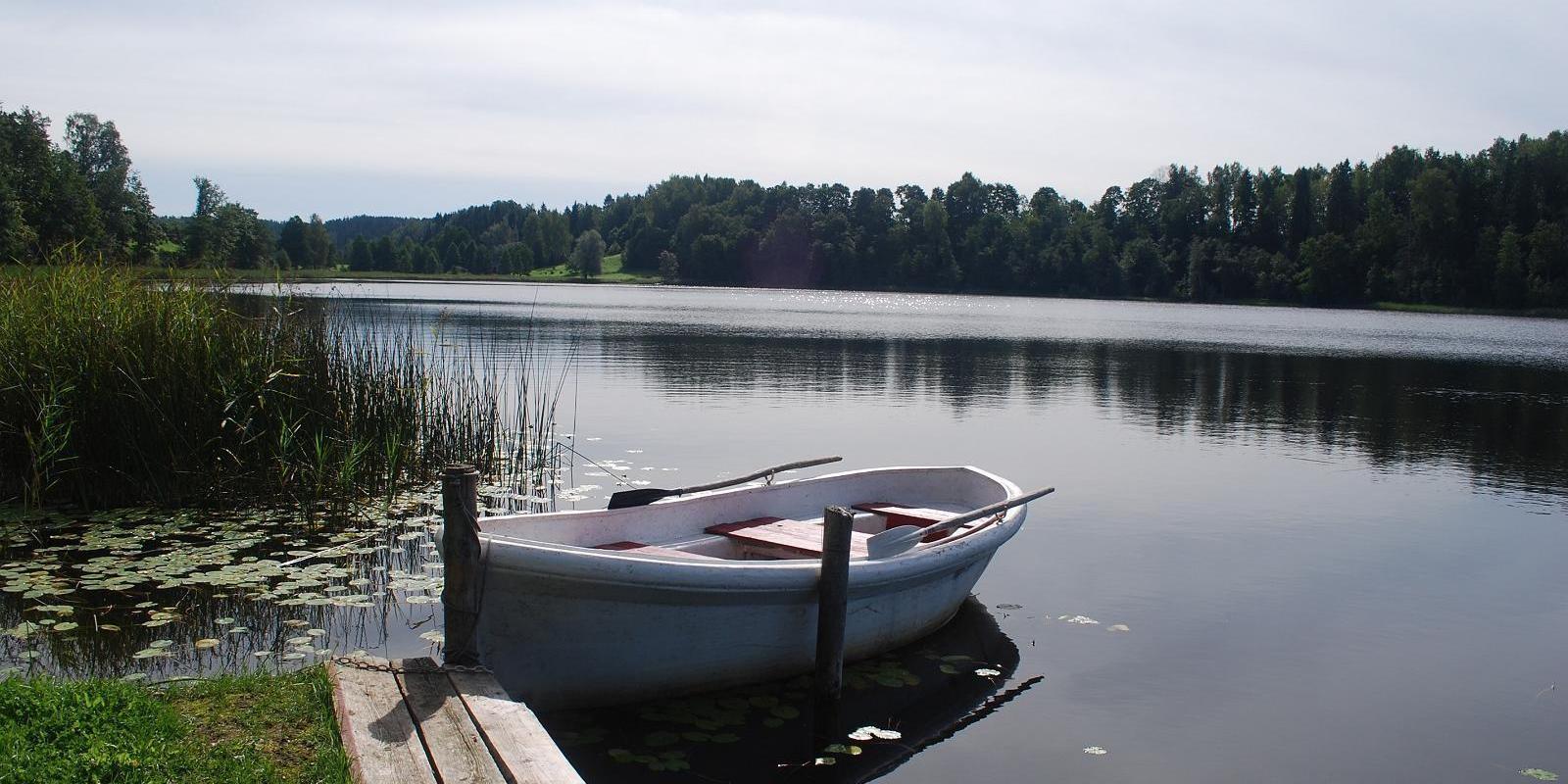
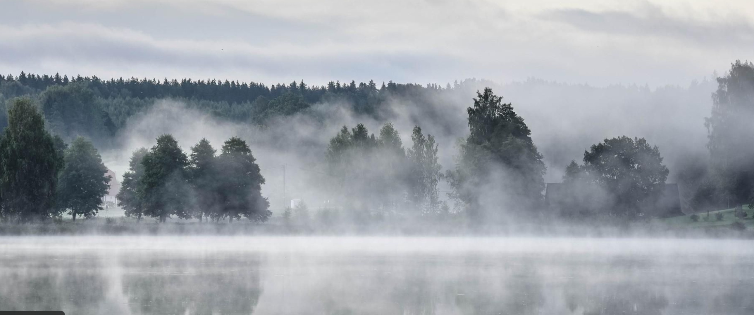
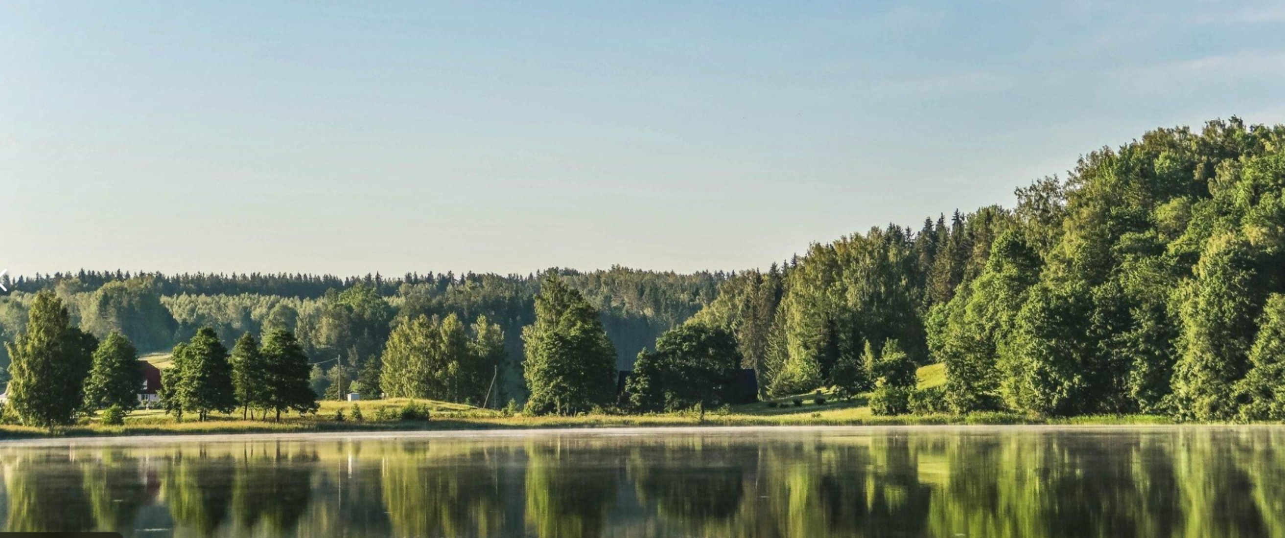
The Rõuge Primeval Valley hiking trail is as straight as a line, 10 km long, it begins at Hinni Canyon or in the Ööbikuoru Centre parking lot. Beginning at the Ööbikuorg start point, the trail runs along the shores of seven lakes towards Hinni Canyon and offers hikers an opportunity to observe the workings of the area’s water rams, see the deepest Estonian lake – Rõuge Suurjärv and visit Rõuge Park.Further on, on the shores of Lakes Ratasjärve, Tõugjärve and Kahrila, hikers can see the local forest communities, rest in meadows or enjoy the village landscape and proceed along the short path towards Hinni Canyon.

Mugavused

  • Information boards
  • Drop Toilet

Lahtiolekuajad

Aastaringselt

Ööpäevaringselt

Kontakt

  • voru@visitestonia.com

Lingid

loodusegakoos.ee

Vaata lisaks

  • Lookout towers
  • Hiking Trails
  • Camping sites

Tellingumäe observation tower and recreational area

Tellingumäe's 25-meter-high observation tower offers a beautiful view of the winding Mustjõgi gorges and the hilly landscape typical of South Estonia. Latvia can be seen in the distance, as nearby the Mustjõe River joins the Koiva (Gauja) River on the Estonian-Latvian border. Tellingumäe observation tower is a great place to observe nature and birds. Several rare bird species can be found here. The tower has an RMK campfire site and marked cycling and hiking trails of different lengths, like the Estonian-Latvian joint cultural heritage trail and the Koiva Cycling Trail.

  • Hiking Trails

A nature study trail in the southernmost point of Estonia

Drive along the Võru-Valga highway from Saru to Kuutsi-Tiitsa-Karisöödi-Ura-Naha (about 14 km). The trail is about 4.8 km long and it takes a couple of hours to walk it through. The trail starts under the oak-tree with a perimeter of about 4 metres in Naha farm and runs very close to the state border, so make sure you take your ID with you. Interesting to know: you cannot put your foot down on the southernmost point, as the geographically correct southernmost point of Estonia is situated about 5 steps away from the marked spot, just in the middle of the Peetri River.

  • Hiking Trails

RMK Voorepalu Põrgurada trail

The hiking trail, which is suitable for a pleasant walk, starts on the other side of the road opposite the Voorepalu campfire site and runs along an extremely varied landscape with several steep ascents and descents. The trail has information boards introducing past events and folklore and the highest point of the trail has a table and benches for resting. Rope railings have been installed on the steep slopes of the trail.The historical Postal Road runs between the campfire site and the hiking trail. Ristimänd tree and many other exciting places are on the trail with a varied landscape. Two cars can park at the campfire site.

  • Hiking Trails
  • Lookout towers

Harimägi and Harimäe Observation Tower

Harimägi is one of the largest mesas in the Otepää Uplands (211 m above sea level). It is worth coming to Harimäe whenever you are near Otepää. The Harimäe Observation Tower is located 3 km from Kääriku in the direction of Sangaste. The height of the tower is 28 m, and the highest viewing platform is 24 m high. The tower offers views of the Otepää mountains and across the Väike Emajõgi valley to the Karula upland. Camping is also allowed at the tower. Good to know: Harimägi is also called 'Leenard and Leonhard's hill.' From 1816 to 1819, geodetic surveys were carried out here by the internationally recognised astronomer and surveyor Friedrich Georg Wilhelm Struwe (1793–1864).

  • Hiking Trails

Hiking trail Green Railways Valga / Valka–Ape

The Valga/Valka–Ape narrow gauge railway was opened to traffic in 1900 and the last trains ran here in 1970.Today, most of the old railway embankment is used as a hiking trail that runs through forests and fields on gravel and dirt roads.On the Valka–Žuldin and Koikküla–Hargla section, the trail is redirected to larger roads, because the former railway dam is mostly impassable there.Many old railway photographs and historical stories related to the railway have been attached to the old sleepers on the railway dam.There is a resting place in Hargla.

  • Lookout towers
  • Hiking Trails
  • Camping sites

Meenikunno hiking trail

Cabins for hikers, an observation tower and a boardwalk attract many nature lovers to the Meenikunno bog. It is a beautiful recreation area. While walking down the boardwalk, you can see the most common bog plants: leather leaf, bog rosemary, crowberry, Marsh Labrador tea, and tussock cottongrass; at the edge of the bog, dwarf birches can also be found. There are also a number of different species of peat moss of various colours. The bravest hikers can try drinking bog water (it has an interesting taste!) from the overgrown ditch near the edge of the bog.Good to know: The boardwalk is pram and wheelchair accessible.

  • Birdwatching
  • Hiking Trails

Tamme Outcrop hiking track

Tamme Outcrop hiking track is located on the eastern shore of Lake Võrtsjärv between the villages of Tamme and Neemisküla in Elva municipality. The area is rich in Devon sandstone outcrops from the Aruküla layer. Tamme Outcrop, which is located on the track, is an area where placoderms have been found and where valuable paleontological material has been collected since the second half of the 19th century.Ten information boards have been set up along the hiking track, which is almost 2 km long. They provide interesting information about the local natural environment. If you walk 1 km north on the track, you can turn back and hike back along a field or on a forest trail on the outcrop.

  • Hiking Trails

Võhandu Paddling Marathon

The 100-km-long downriver marathon runs on the Võhandu River in Võru and Põlva counties and is open all year round on ice-free days.The marathon starts from Võru town, on Lake Tamula and ends in Võõpsu village, Põlva County. The Võhandu River is surrounded by steep forest banks and numerous upright sandstone outcrops. There are several springs and spring caves in the rock walls and valleys. The Võhandu River provides a great rowing experience.Every year, on the third weekend of April, the world’s largest paddle marathon, the Võhandu Marathon, takes place on the Võhandu River, with 1,200 boats and more than 2,500 participants.

  • Privacy Policy

"*"обозначает обязательные поля

Это поле используется для проверочных целей, его следует оставить без изменений.
Я разрешаю маркетинг