• Avasta
    • Еда
    • Природа
    • Культура
    • Семья
    • Спорт
    • Сообщество
    • Блог
  • Planeeri
    • Размещение
    • Информация
    • Varamu
RUS
  • РусскийRUS
  • EestiEST
  • EnglishENG
  • LatviešuLAT
  • SuomiFIN
RUS
  • РусскийRUS
  • EestiEST
  • EnglishENG
  • LatviešuLAT
  • SuomiFIN
Populaarsed otsingud:
Näita kõiki tulemusi
  • Nature and Activities
  • Nature
  • Hiking Trails

Kaljupealse campfire site

Räpina vald, Põlva maakond, 64423

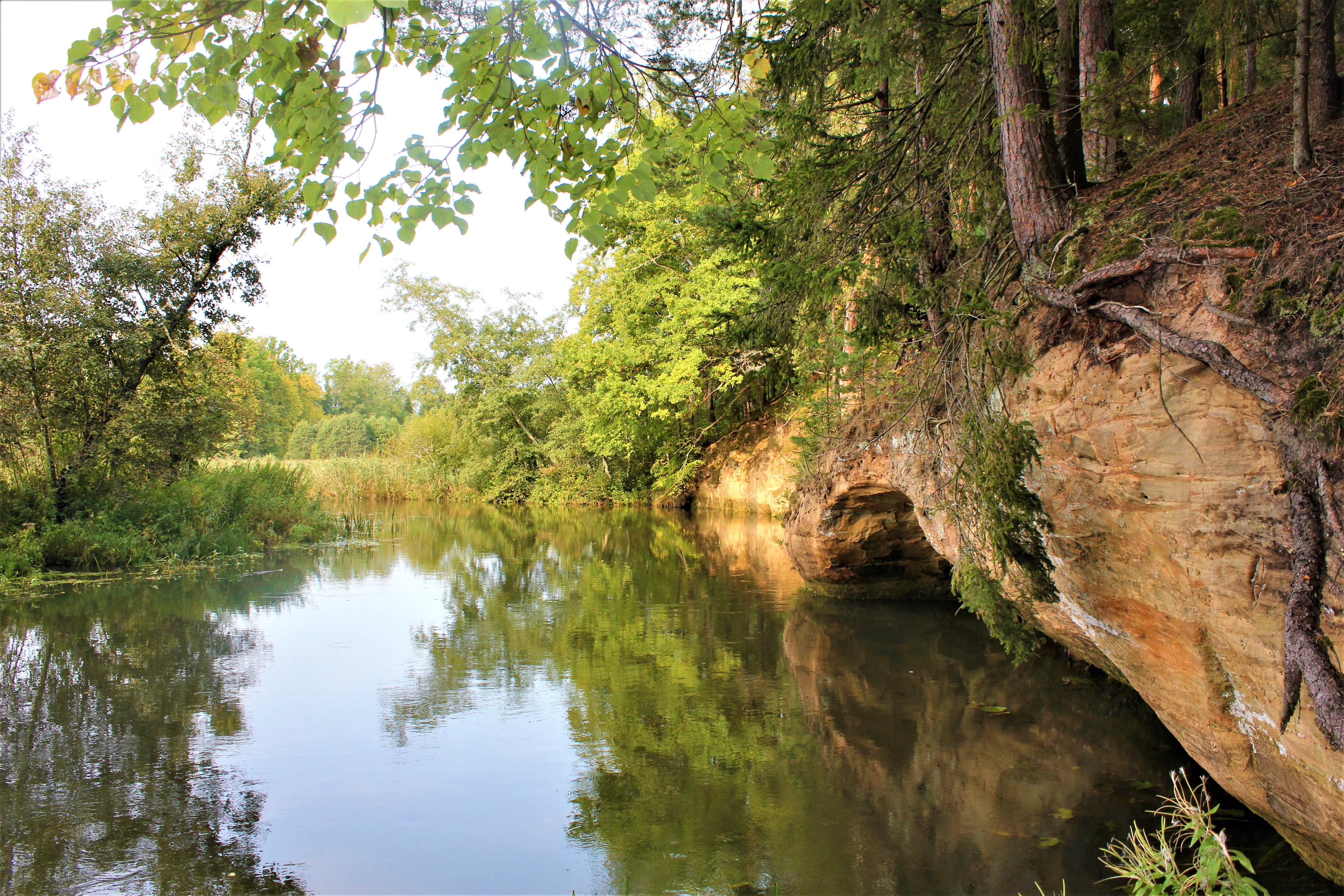
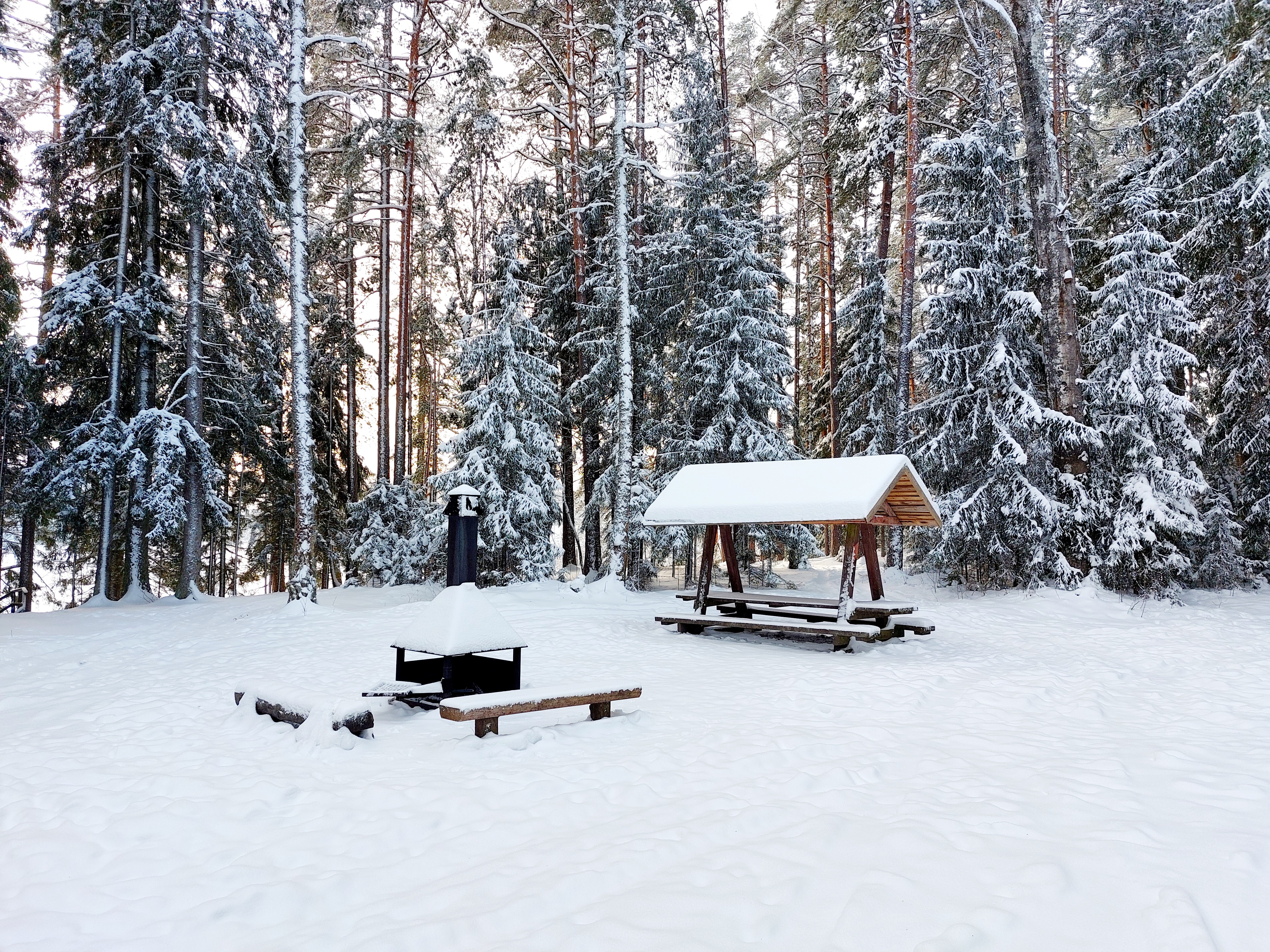
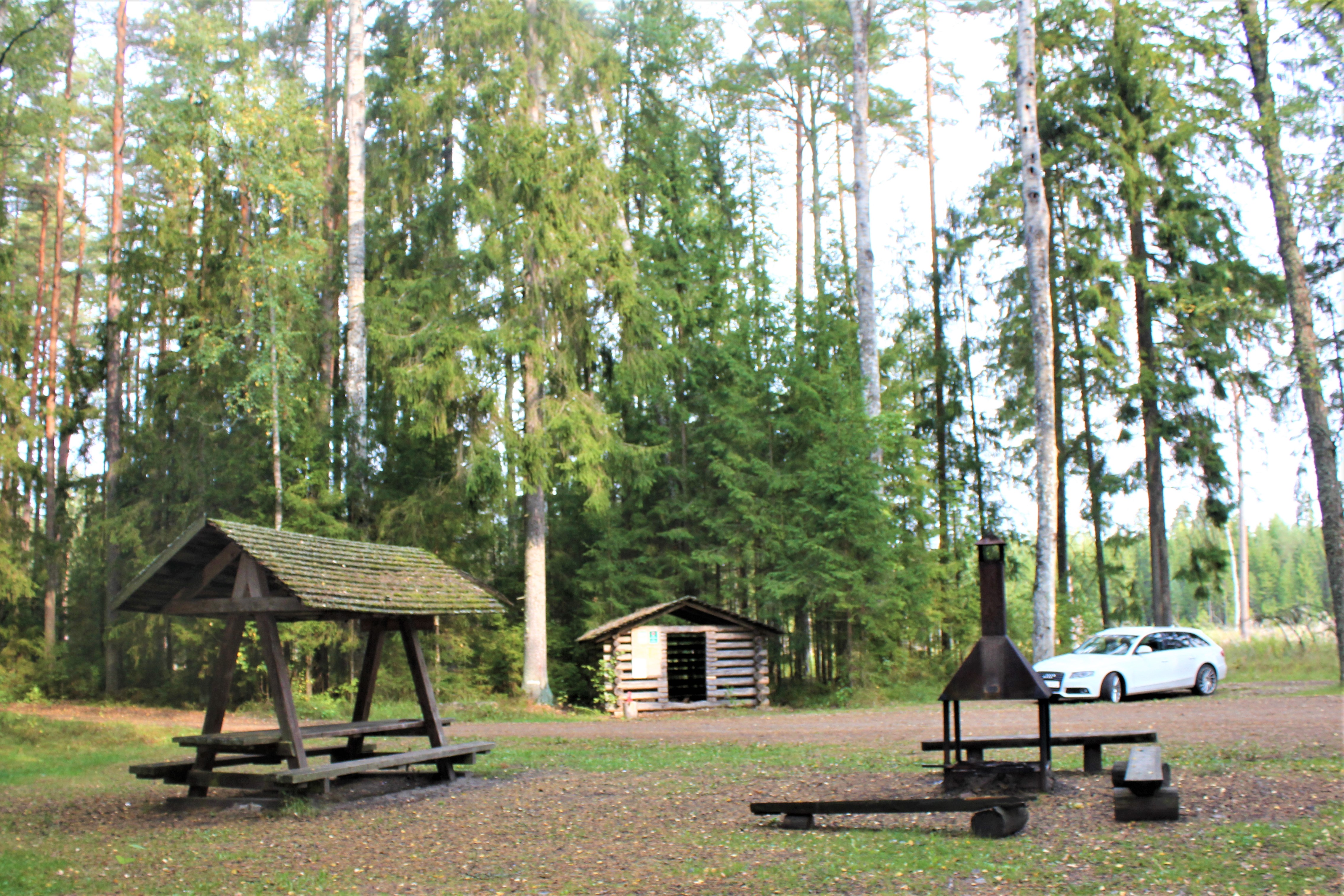
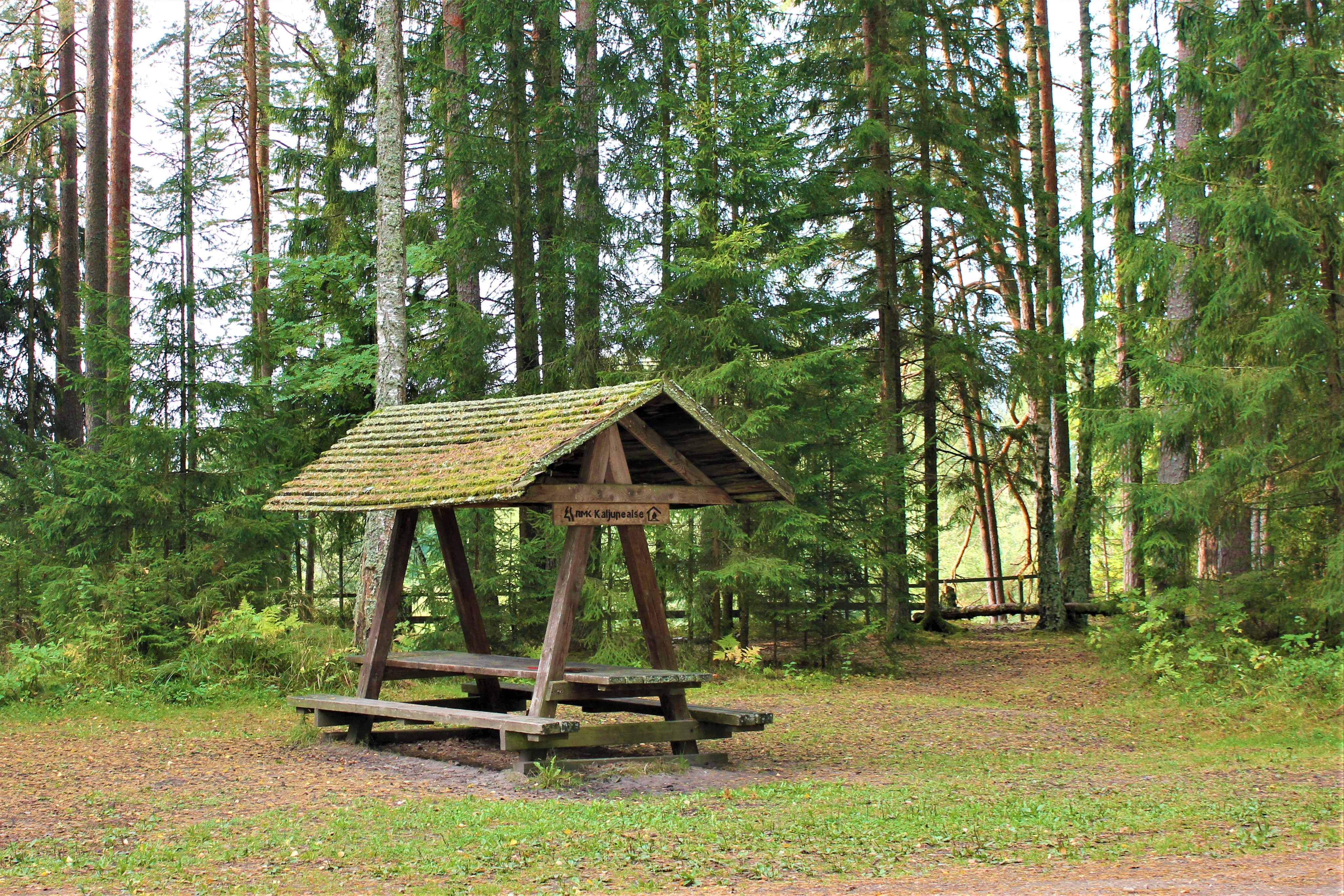
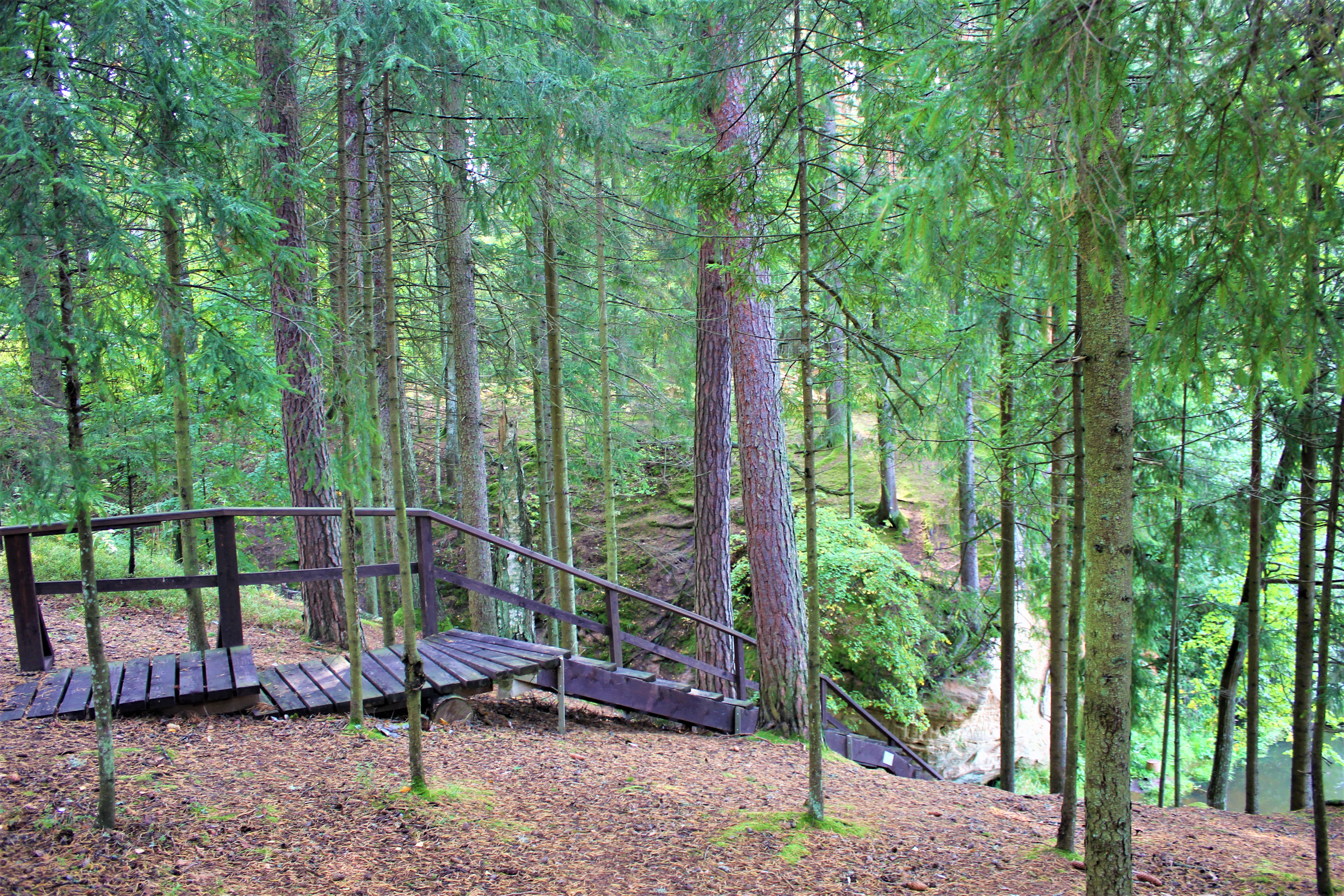
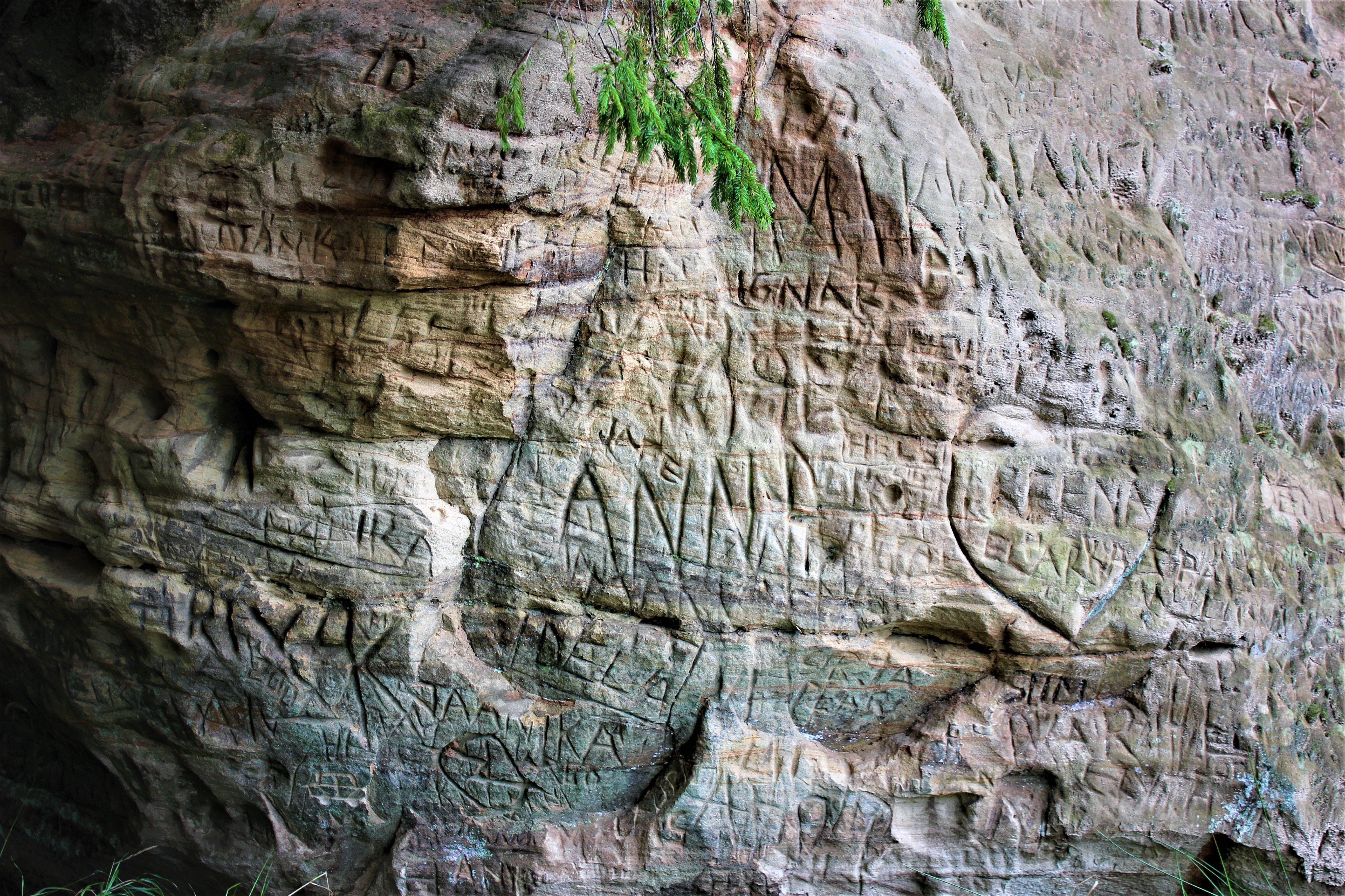
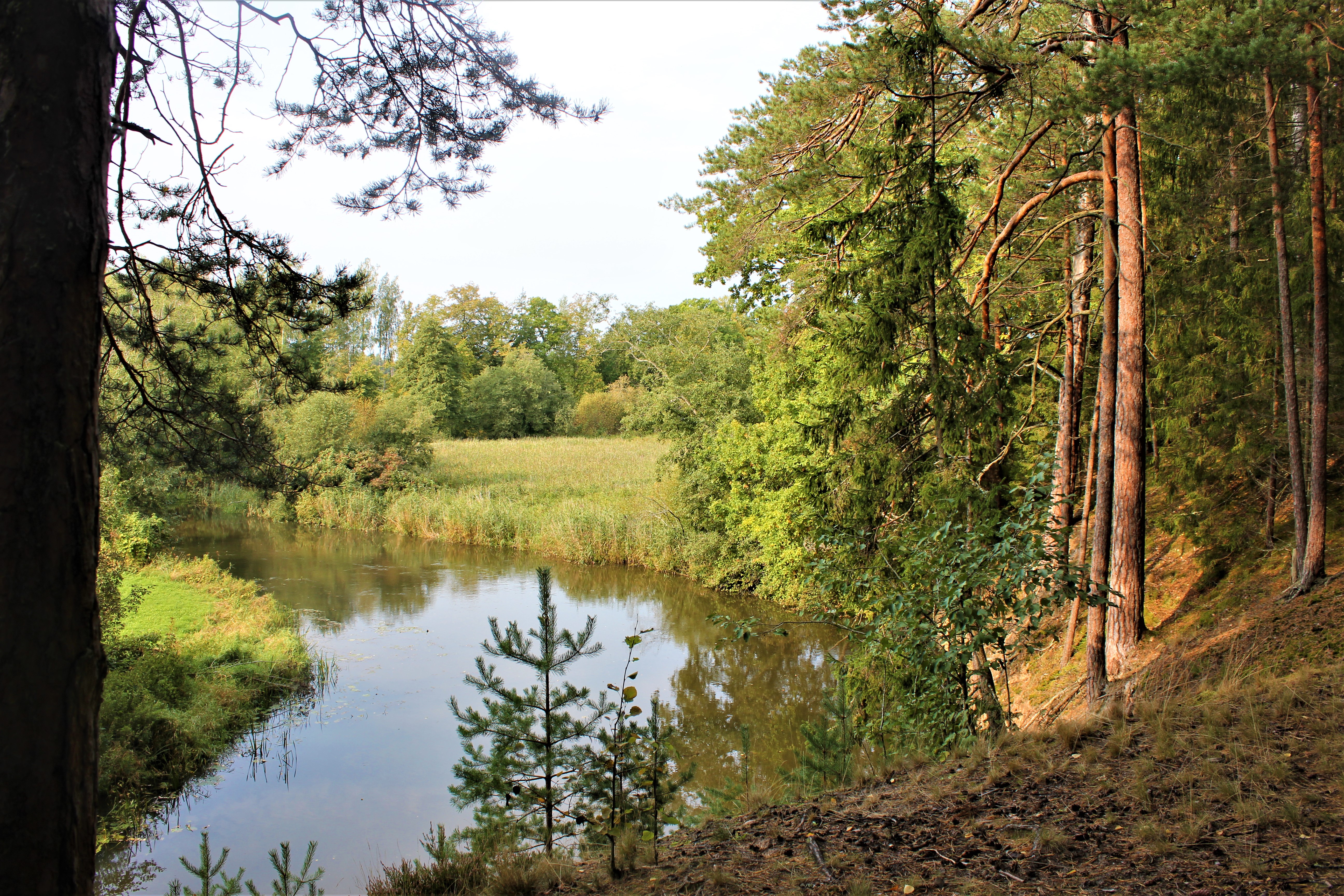
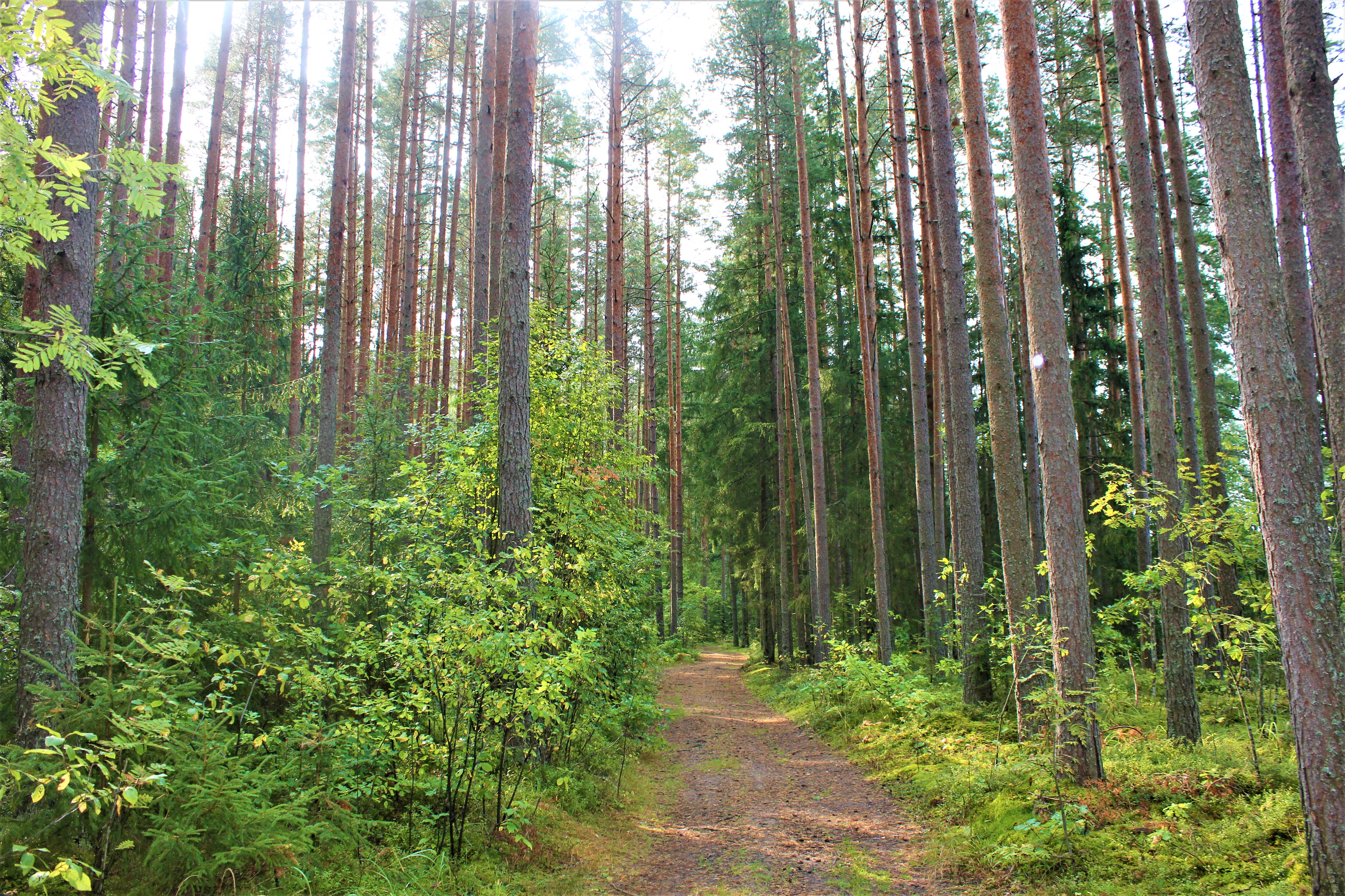
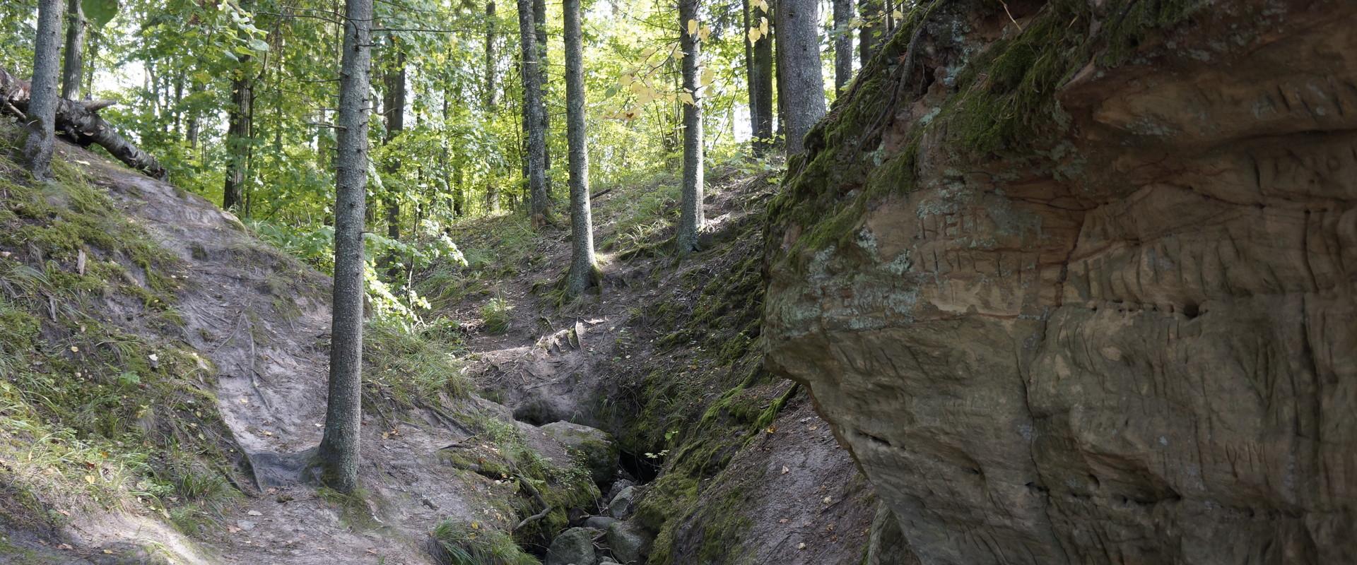
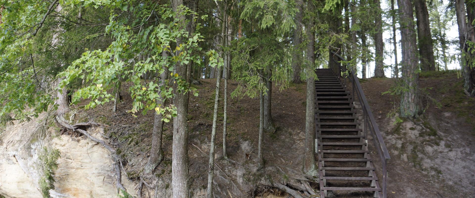
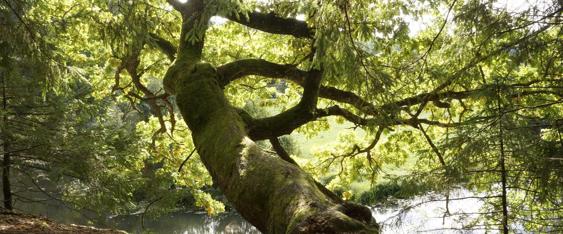
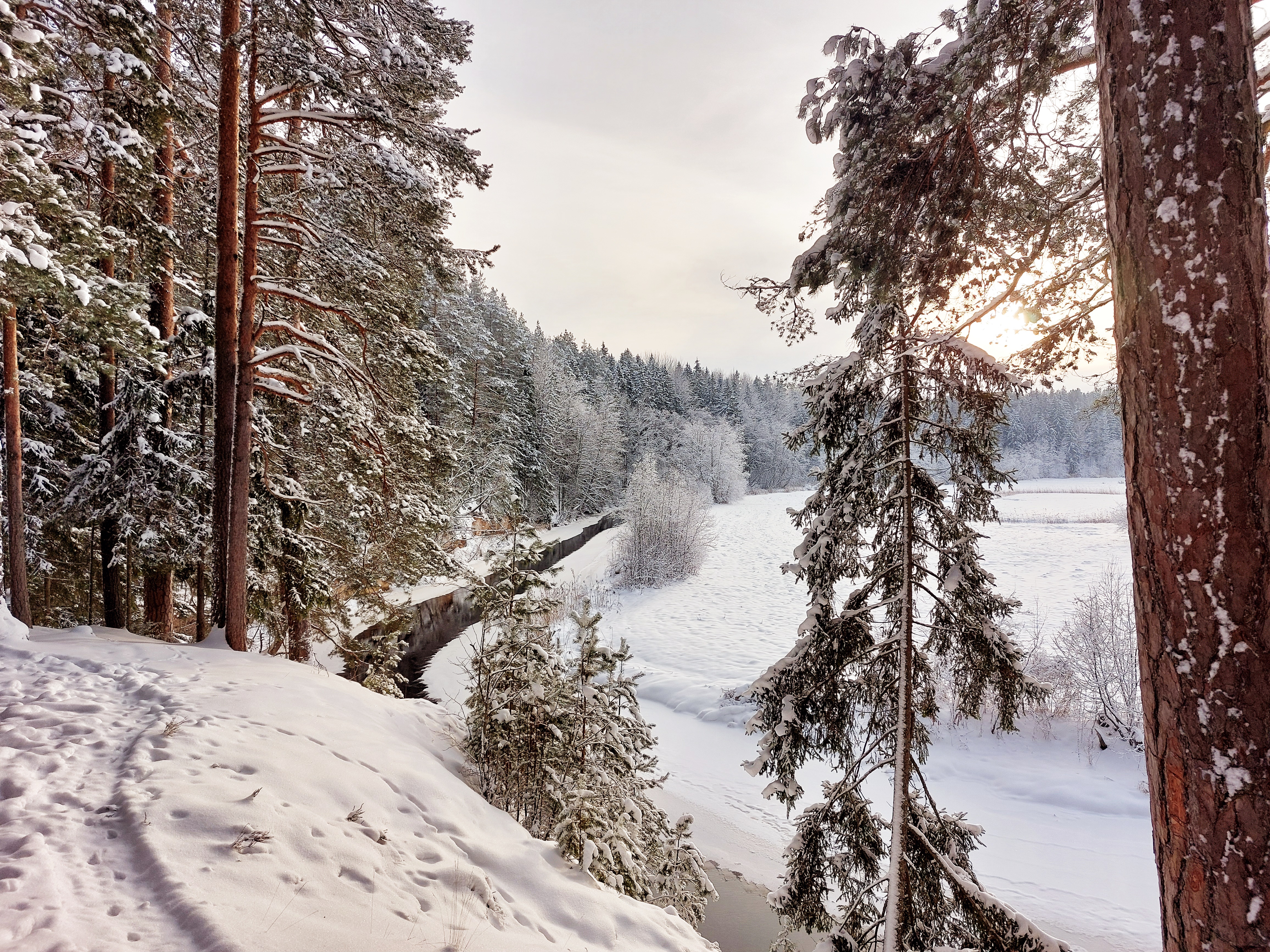
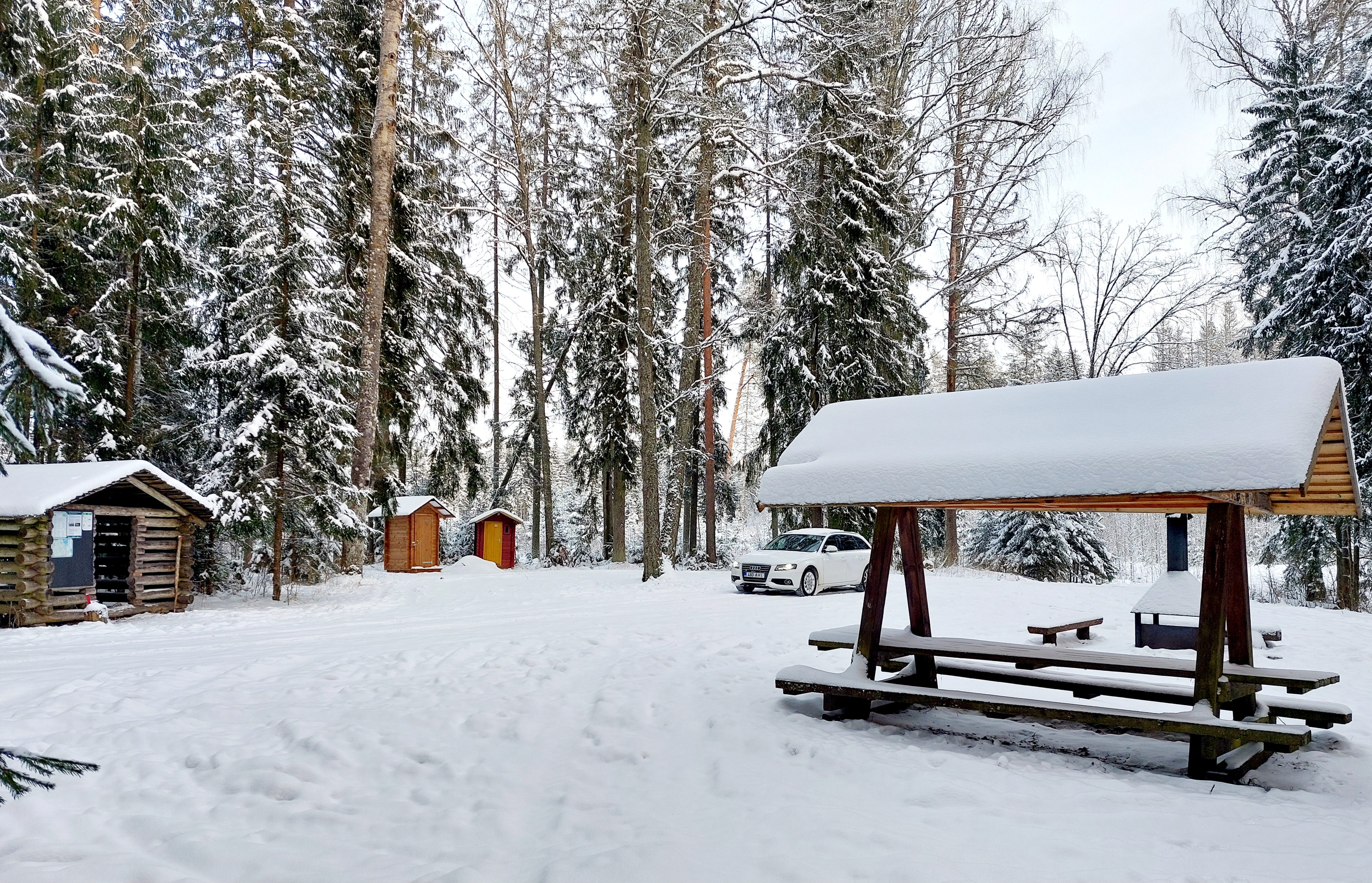
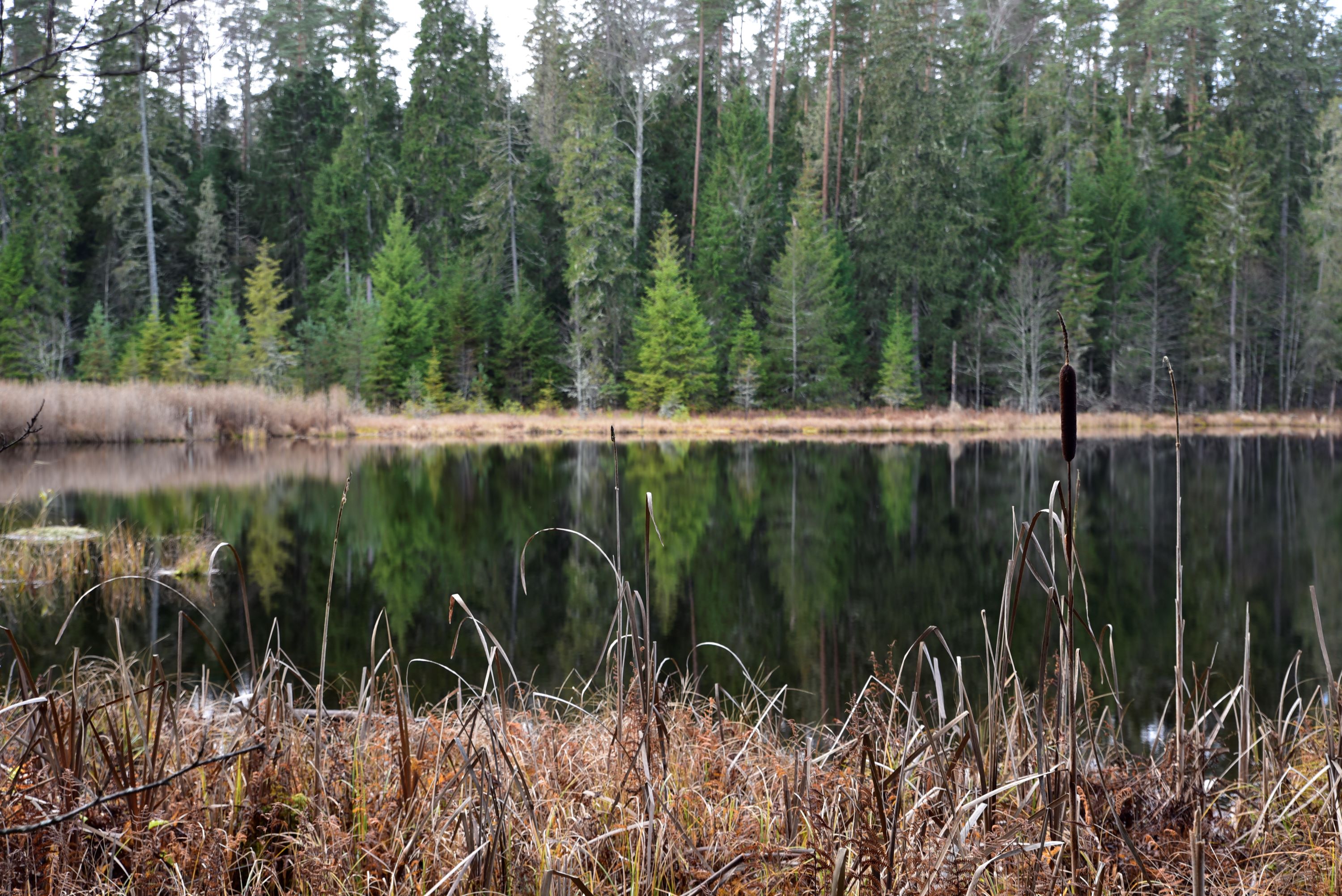
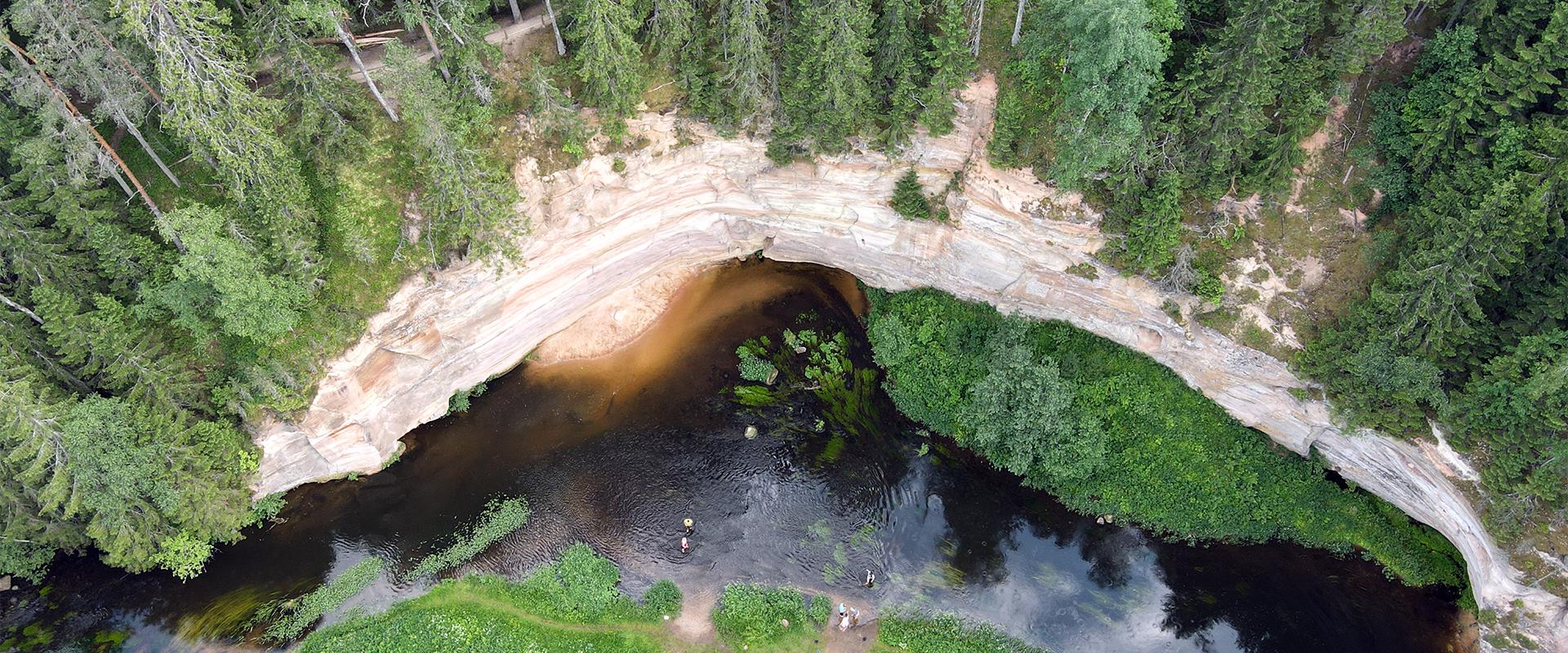
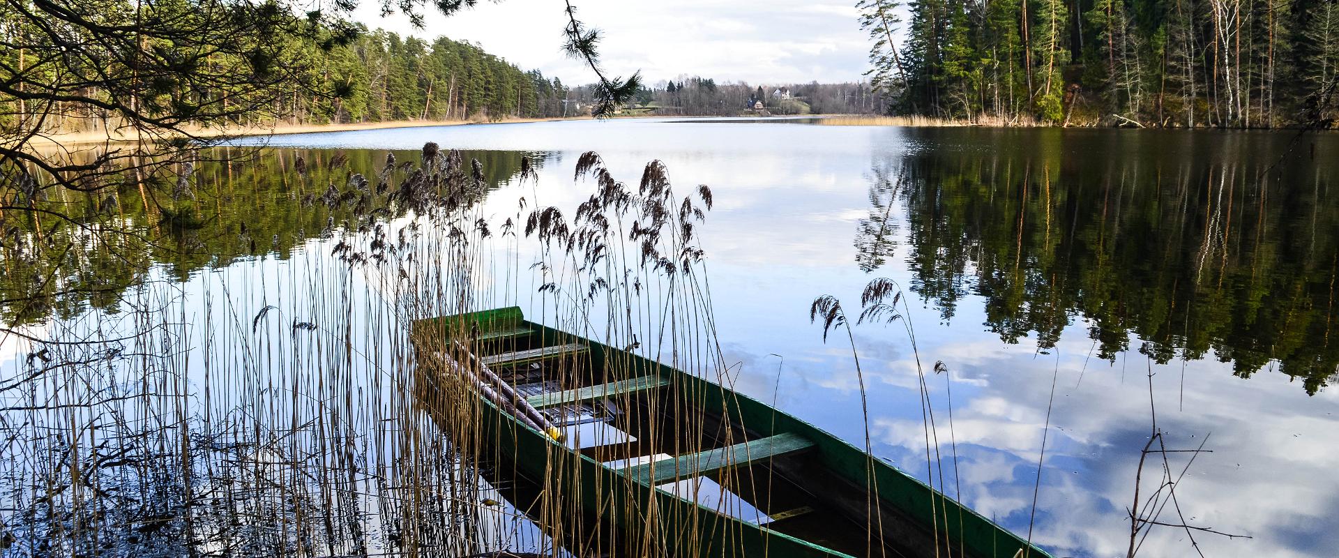
The Kaljupealse campfire site is located on the banks of the Võhandu River, in a beautiful pine forest. The riverside and high banks offer a beautiful view of the Võhandu River and sand outcrops. The campfire site has a roofed table and benches, a roofed grill, and firewood. The place is ideal for campers, fishing enthusiasts, and as a resting point for guests coming here with boats.Along the high sandy shores, through a beautiful pine forest, there is an unmarked hiking trail where you can enjoy beautiful views of nature or pick berries and mushrooms.

Mugavused

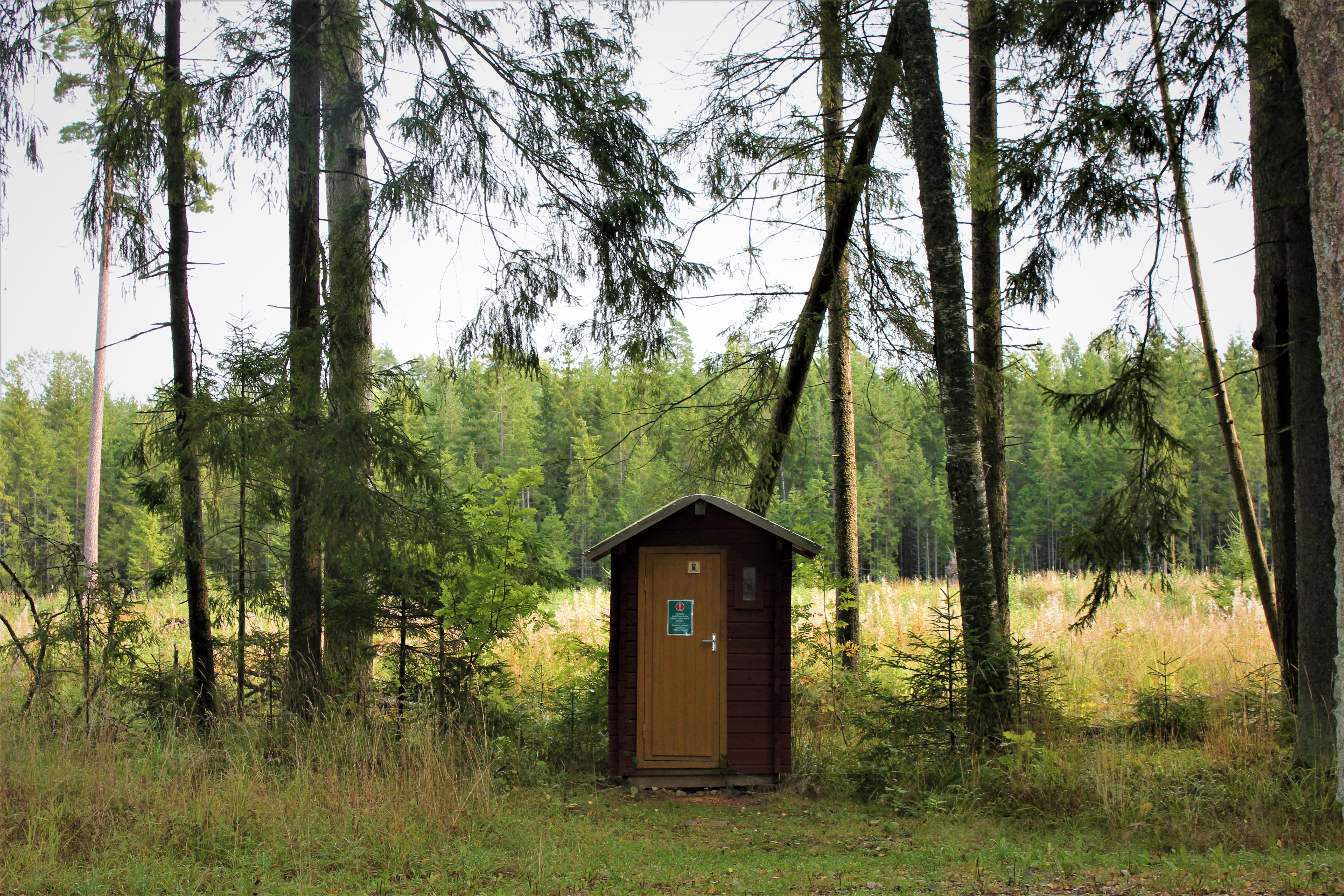
  • Drop Toilet
  • Free parking

Lahtiolekuajad

Aastaringselt

Ööpäevaringselt

Kontakt

  • info.kiidjarve@rmk.ee

Lingid

rmk.ee

Vaata lisaks

  • Hiking Trails

Vällamäe hiking trail

Vällamäe 3,3 km long hiking trail offers a unique elevation change in Estonia. Vällamägi is Estonia's second highest hill, covered with ancient forest and steep slopes, with an elevation of 303.9 m above sea level. However, considering the 84 meters measured from the base to the peak, Vällamägi is the highest in relative height in Estonia. The slopes of the hill are very steep in places (incline of 35-40 degrees). Since 1992, Vällamäe forests have been designated as a spruce gene pool reserve. As you move along the trail, steep ascents and descents alternate, offering both a physical challenge and breathtaking views of the ancient forest shelters. The climb to the peak may momentarily make you feel like you've arrived in the mountains, not Haanja. The charm of Vällamäe lies in its primordial silence and touch of nature – you won't find crowded hiking trails here. Each season adds its own character to the trail: in spring, the air is filled with birdsong, in summer you may find berries in the forest, in autumn colorful leaves and an abundance of mushrooms delight the eyes, and in winter the slopes are covered with a dense layer of snow in silence.

  • Family friendly
  • Hiking Trails
  • Parks
  • Beaches

Lake Pühajärv Park

Families with children are particularly welcome in the Lake Pühajärv Park as there are many opportunities to feed ducks and other birds when walking on the lakeshore. There is an exercise track by the northern part of the park. This is also the place where you will find the beach with a beach house, cafés, arbours and boat hire.The park used to be a part of the Pühajärv Manor Park and it was designed as a walking forest with paths already in the 19th century. The park is mainly a naturally grown forest.

  • Hiking Trails

RMK Voorepalu Põrgurada trail

The hiking trail, which is suitable for a pleasant walk, starts on the other side of the road opposite the Voorepalu campfire site and runs along an extremely varied landscape with several steep ascents and descents. The trail has information boards introducing past events and folklore and the highest point of the trail has a table and benches for resting. Rope railings have been installed on the steep slopes of the trail.The historical Postal Road runs between the campfire site and the hiking trail. Ristimänd tree and many other exciting places are on the trail with a varied landscape. Two cars can park at the campfire site.

  • Lookout towers
  • Hiking Trails

Harimägi and Harimäe Observation Tower

Harimägi is one of the largest mesas in the Otepää Uplands (211 m above sea level). It is worth coming to Harimäe whenever you are near Otepää. The Harimäe Observation Tower is located 3 km from Kääriku in the direction of Sangaste. The height of the tower is 28 m, and the highest viewing platform is 24 m high. The tower offers views of the Otepää mountains and across the Väike Emajõgi valley to the Karula upland. Camping is also allowed at the tower. Good to know: Harimägi is also called 'Leenard and Leonhard's hill.' From 1816 to 1819, geodetic surveys were carried out here by the internationally recognised astronomer and surveyor Friedrich Georg Wilhelm Struwe (1793–1864).

  • Camping sites
  • Hiking Trails
  • Beaches

Palumägede hiking trail and campfire site

The Palumägede hiking trail is situated near Lake Pangodi, within the picturesque Pangodi Landscape Reserve, and is an ideal destination for nature lovers seeking an active holiday experience. The hiking trail offers diverse landscapes with pleasantly alternating ups and downs, adding a little excitement to the hike. The starting point of the hiking trail is conveniently located at the second parking lot of Palumägede, where you will also find an information board that gives a good overview of the surrounding nature. Clear signposts and benches along the trail make the walk particularly comfortable. The Palumägede campfire site offers a space for grilling, swimming, and camping.

  • Hiking Trails

Hiking trail in the Rõuge Primeval Valley

The Rõuge Primeval Valley hiking trail is as straight as a line, 10 km long, it begins at Hinni Canyon or in the Ööbikuoru Centre parking lot. Beginning at the Ööbikuorg start point, the trail runs along the shores of seven lakes towards Hinni Canyon and offers hikers an opportunity to observe the workings of the area's water rams, see the deepest Estonian lake – Rõuge Suurjärv and visit Rõuge Park.Further on, on the shores of Lakes Ratasjärve, Tõugjärve and Kahrila, hikers can see the local forest communities, rest in meadows or enjoy the village landscape and proceed along the short path towards Hinni Canyon.

  • Lookout towers
  • Hiking Trails

Väike Munamägi Hill

Climbing to the top of Munamägi Hill is worth the effort – the view covers more than 50 km. The absolute height of Väike or Otepää Munamägi Hill is 207.5 m (relative height exceeds 80 m). There is a spring on the north-eastern slope of Väike Munamägi (in the direction of Otepää) that has been considered the start of the Väike Emajõgi River for a long time. The boulder on the edge of the first plain is the biggest in the area – 250,000 kg. Take a look at the aerial panorama (picture by Joel Tammet).

  • Hiking Trails

Pikalombi nature trails

The trails have two possible starting points: in the parking lot of the Värska Sanatoorium or in the point on the side of Värska Sanatoorium across Värska Bay. The Pikalombi nature trails are 3.8 and 9.1 km long. The nature trails can be passed in autumn, spring and winter and on foot as well as by bicycle. On the boarded trail through the Velna bog the bicycle shall be pushed by hand. Good to know: There are 11 trail points along the trail. Point no. 6 lies by beautiful Lake Saarepää, offering an opportunity to make a fire and to have a longer break.

  • Privacy Policy

"*"обозначает обязательные поля

Это поле используется для проверочных целей, его следует оставить без изменений.
Я разрешаю маркетинг